A little over half a year ago, we came across a promotion for a flight from Prague to Santiago de Chile with a layover in Zurich (which the airline later changed to Frankfurt), and in Toronto.
It's quite a long journey and we'll spend well over a day in airports and on planes, but the ticket cost us €700 round-trip per person, which, compared to the average price of €1300 for this route, is a good compromise. We had to pay an additional €50 per person each way for checked baggage at the airport.
Now a bit about the preparations, which were not that simple.
The biggest challenge in organizing this trip was arranging accommodations in Torres del Paine National Park and renting a car in Punta Arenas with permission to cross the border into Argentina.
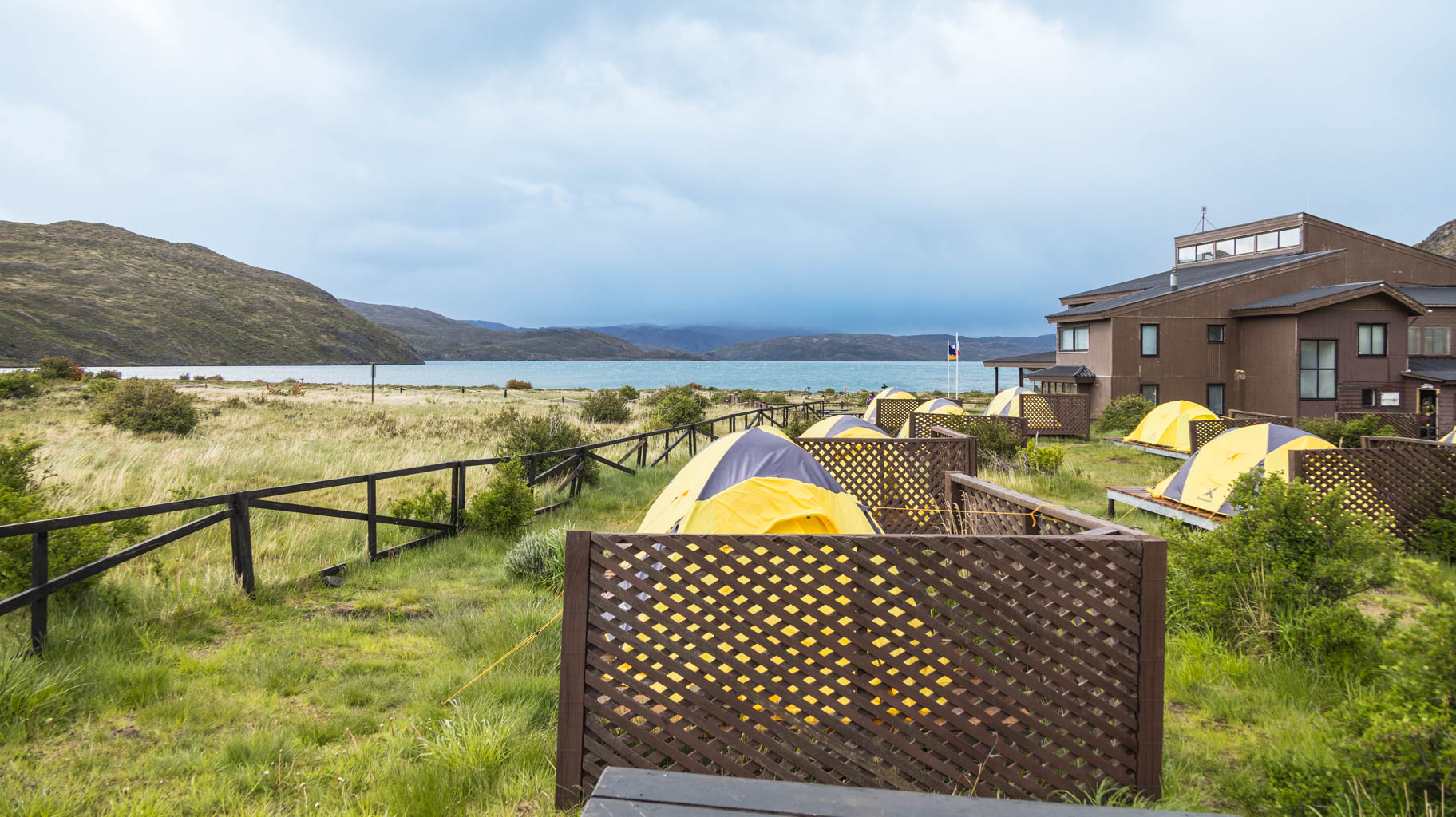
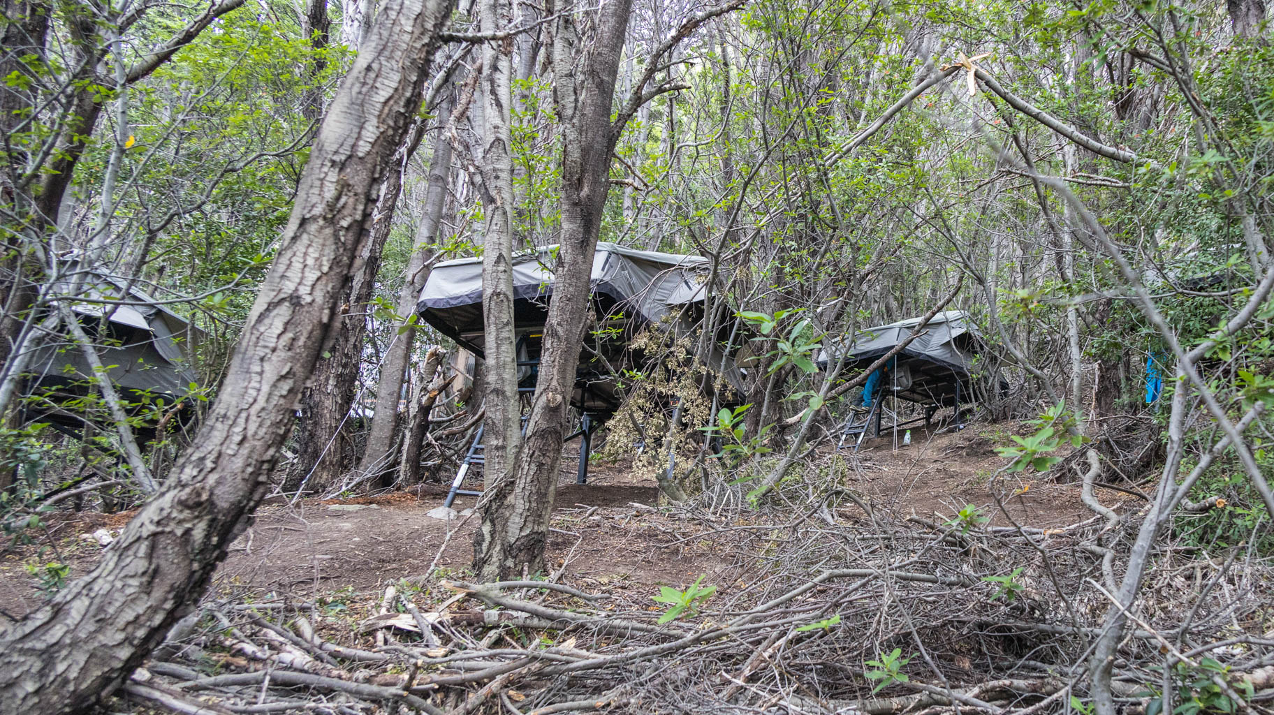
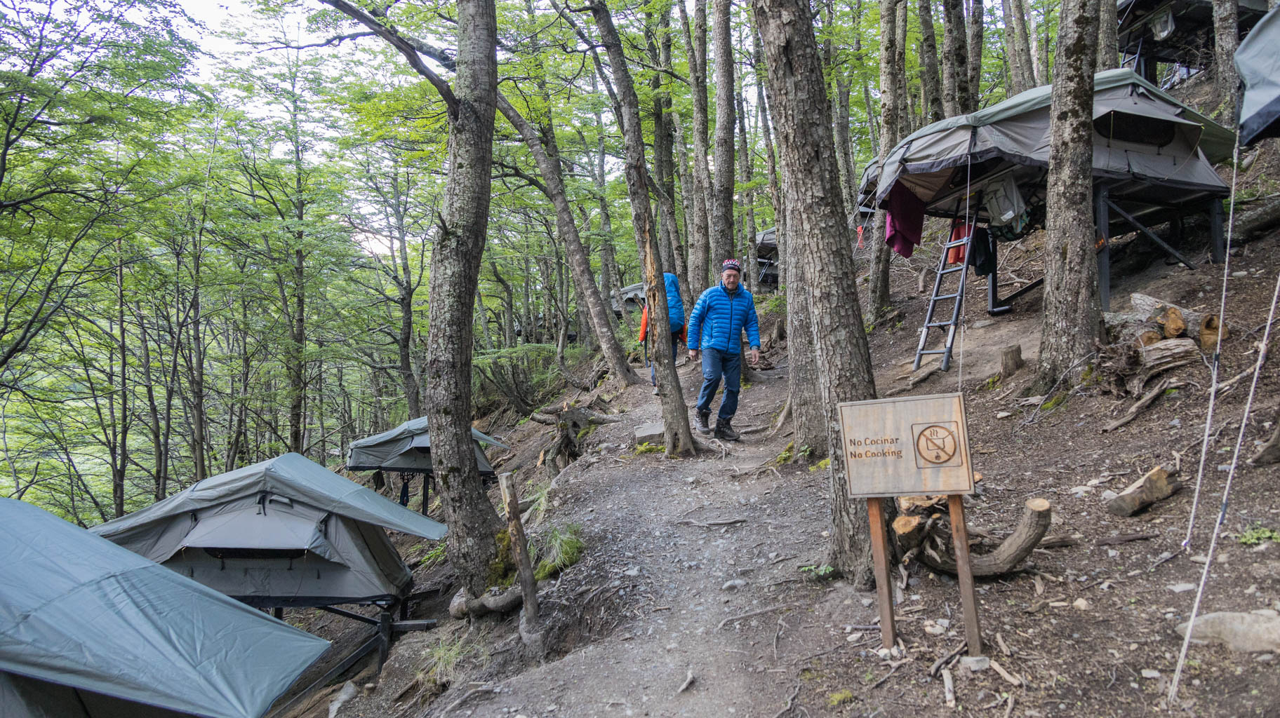
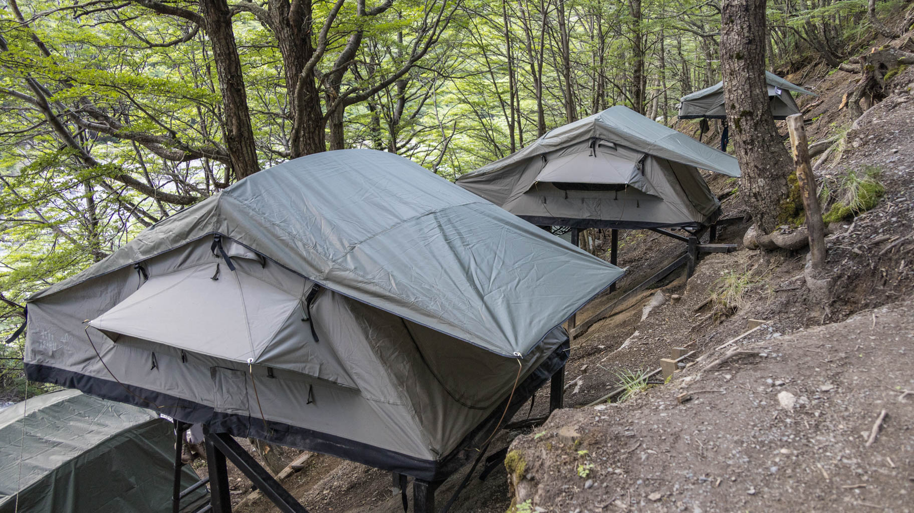
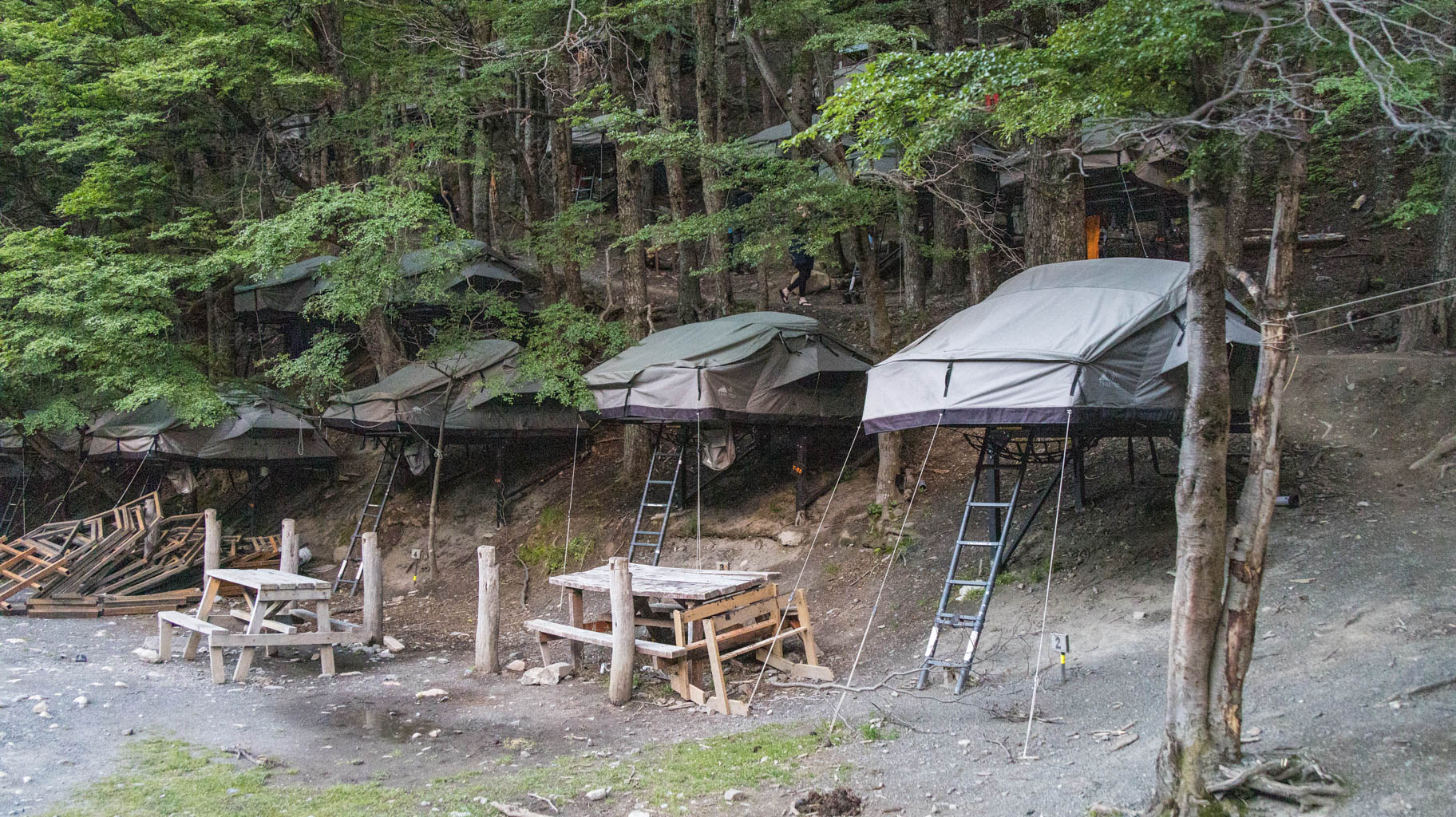
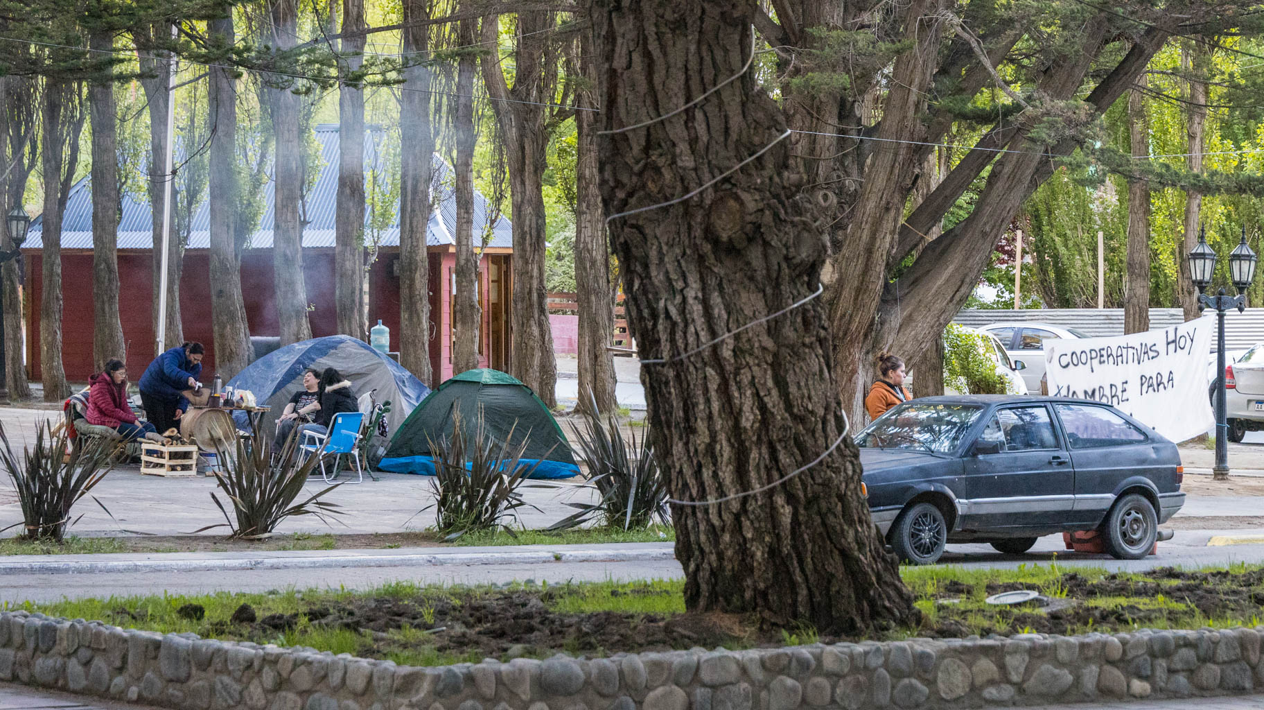
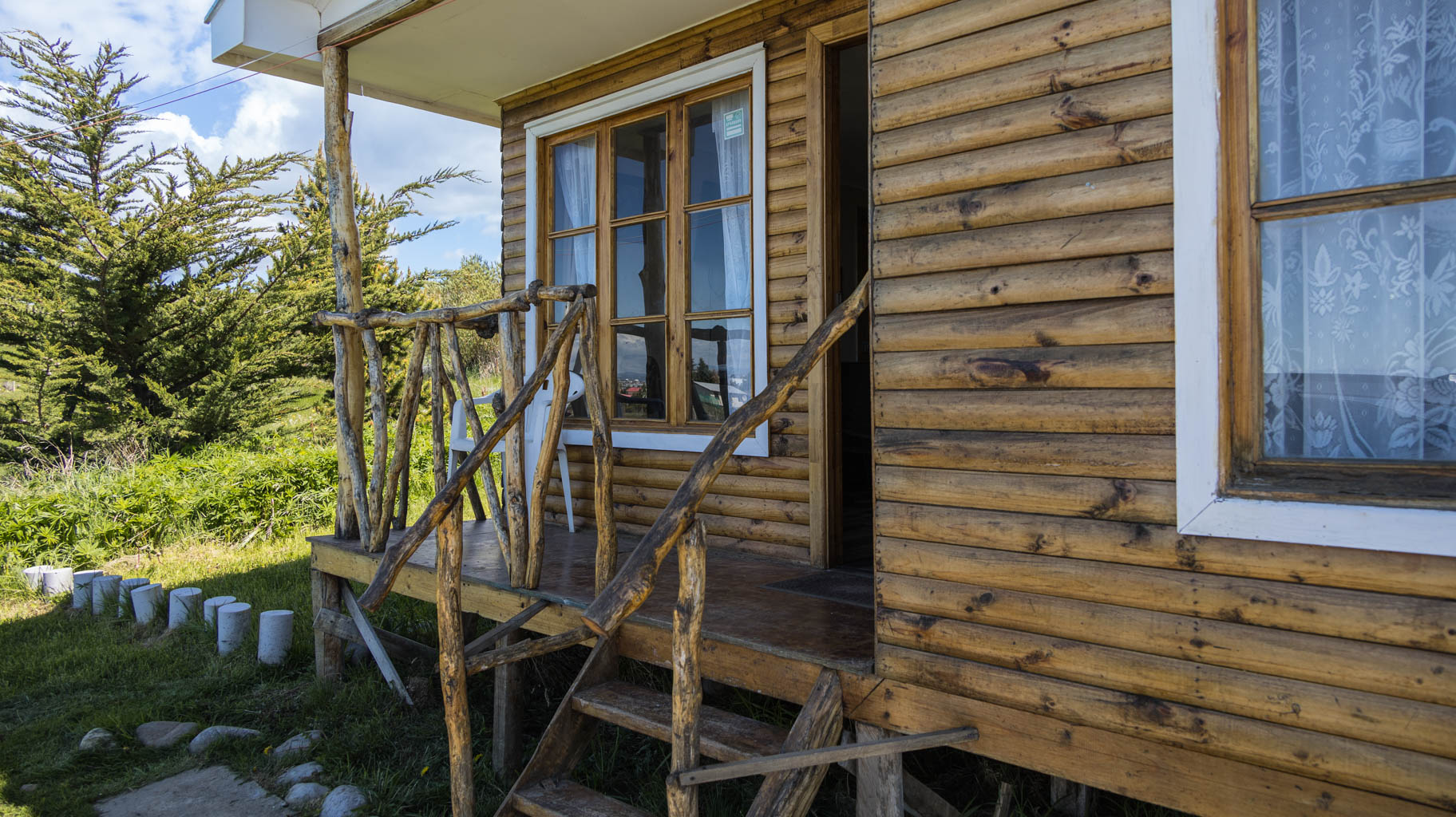
Tent accommodations must be booked many months in advance of your planned stay in the national park, as wild camping is not allowed in the park. The two operators of hostels and campgrounds have monopolized the tourism market in the park—raising prices and limiting the number of available lodging spots, which can sell out within days of the reservation system opening. For four nights in tents with full-day meals included, we paid $700 per person.
Unfortunately, a few people who wanted to join the expedition at a later date were no longer able to book accommodations in the park, except for cabins priced at... $500 per night.
Another issue is car rental. In addition to needing an international driver’s license based on the Geneva Convention format, you need a permit to cross the border into Argentina, since a large—if not larger—part of Patagonia lies on that side. This requires finding a local car rental agency (not through aggregator sites) and arranging the terms directly with the office, usually in Spanish. This has to be done at least two weeks in advance because the rental company must obtain approval from the insurer, which can take time—and in South America, no one is in a hurry.
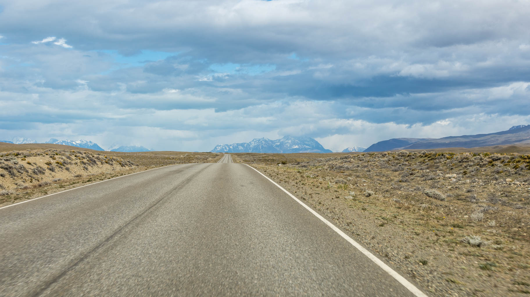
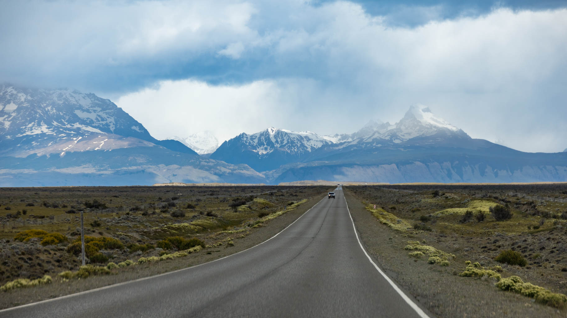
Patagonia is a vast area of Chile and Argentina, spanning several thousand kilometers. We will limit ourselves to “just” around 2000 km.
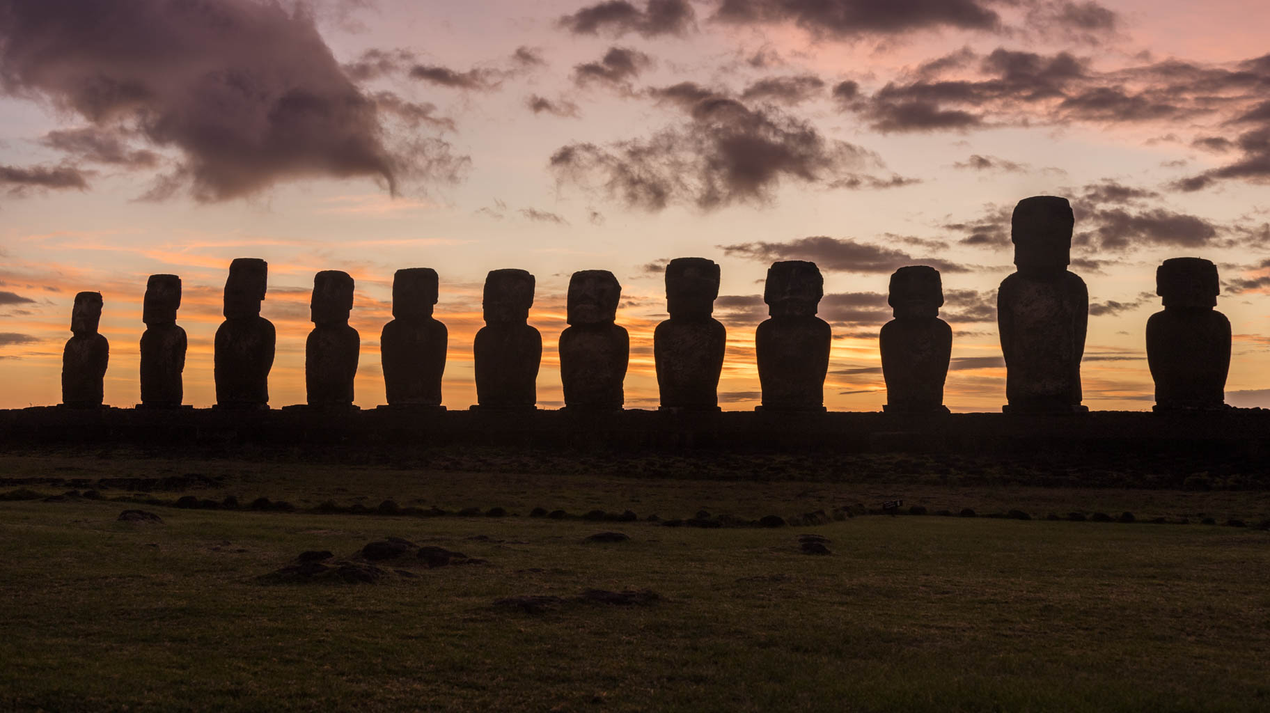
Before that happens, we’ll visit Santiago, from where we’ll fly to Easter Island in the Pacific Ocean, 4000 km away, to see the massive Moai statues, whose origins remain a mystery.
After returning from the island, we’ll fly to Punta Arenas, spend five days and four nights in Torres del Paine Park, then head north to the El Calafate glacier, and afterward travel through Tierra del Fuego to the very end of the world—Ushuaia. If possible, we’ll sail to Cape Horn.
To carry out our plan, quite a few formalities are required, starting with the ETA permit for entry into Canada, which is required even for transit. The application must be submitted electronically at least a few days before departure, and the decision is received almost immediately.
Another thing we found out only a few days ago is the requirement to have an invitation to Easter Island. This can also be a certificate of a reservation at a government-accredited accommodation. After receiving the certificate, you must fill out an online application for permission to enter the island. It’s also worth buying tickets in advance for Rapa Nui National Park. As of now, the cost is $80.
In addition, you must complete an entry declaration for Chile, which can be done online.
So, equipped with a stack of documents, we are already on our way to adventure.
We land in Santiago before noon, having spent twenty hours on planes and about fifteen hours in airports in total.
After landing, we still have to wait in lines for passport and baggage control, but we’ve already filled out the electronic entry forms. It’s worth noting that Chile has very strict rules regarding the import of food and organic products—failure to declare them can result in a fine of up to $22,000.
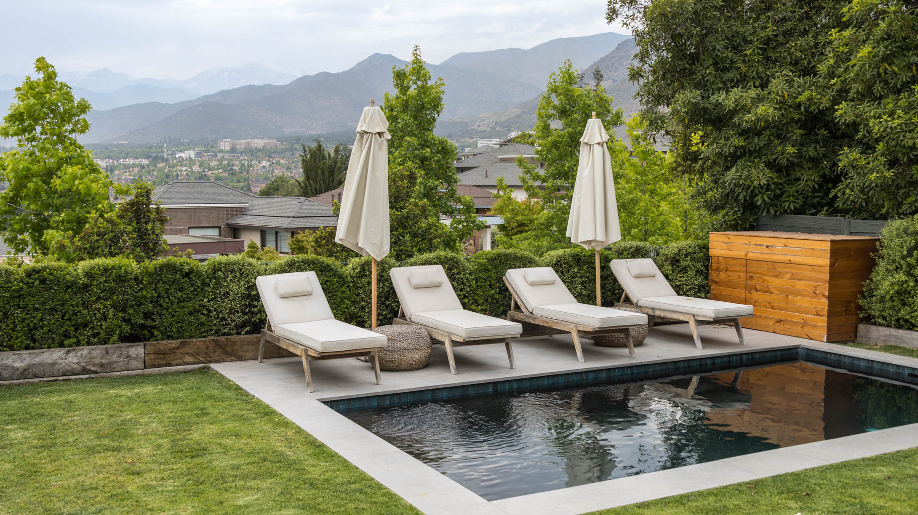
At the airport, we manage to buy SIM cards with a one-week 2 GB data package for $4, after which we order an Uber—taking public transport to our accommodation on the opposite side of the city would take over two hours.
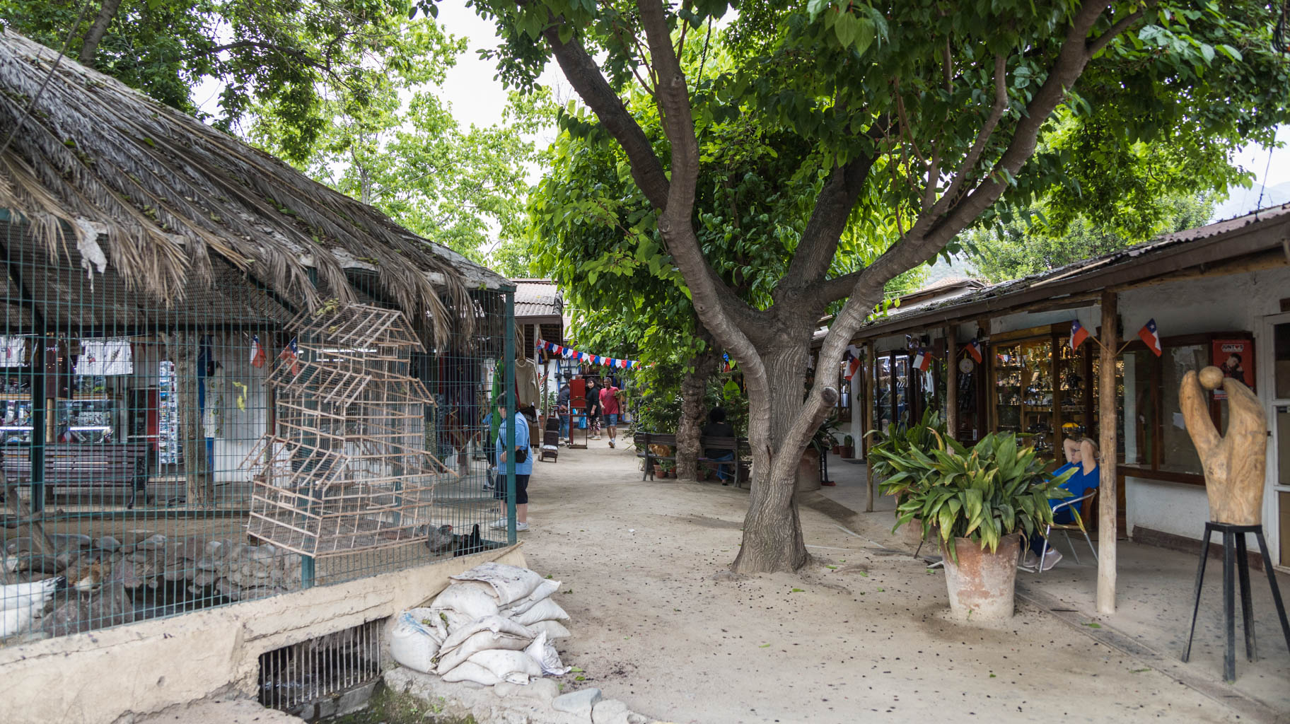
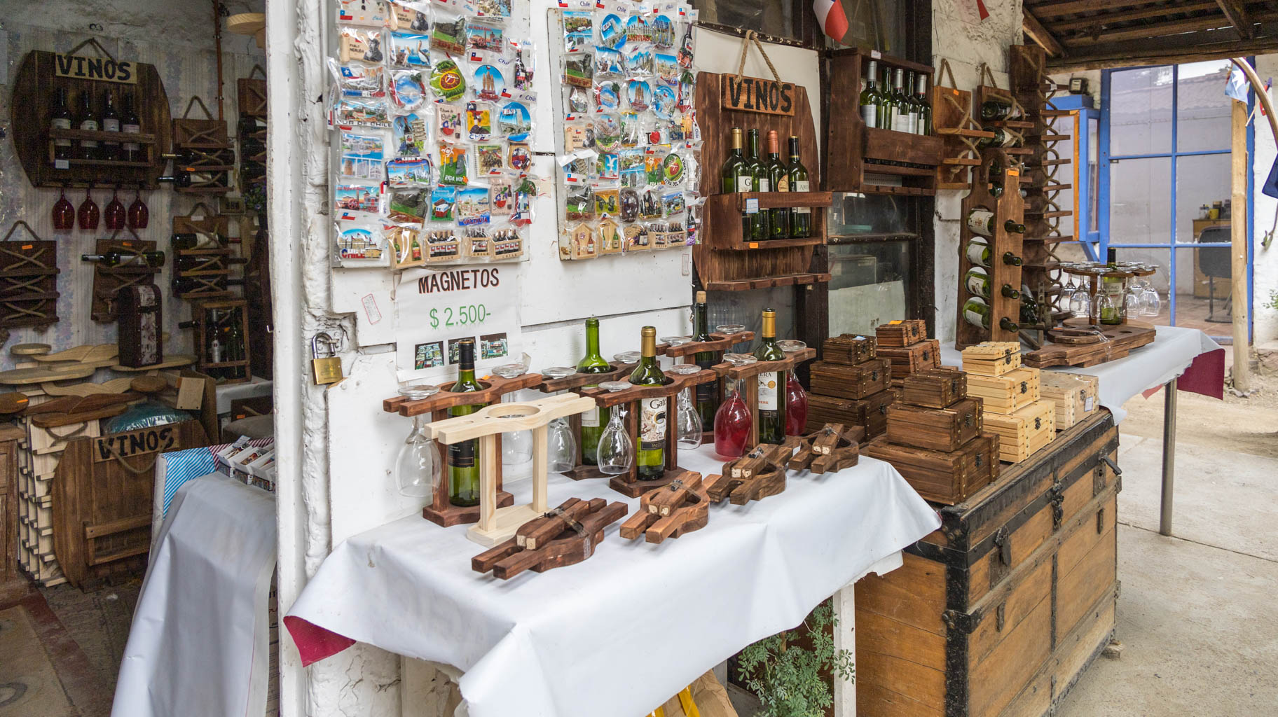
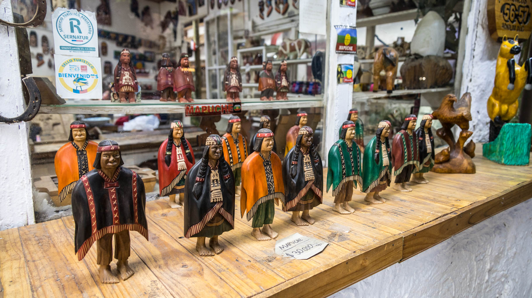
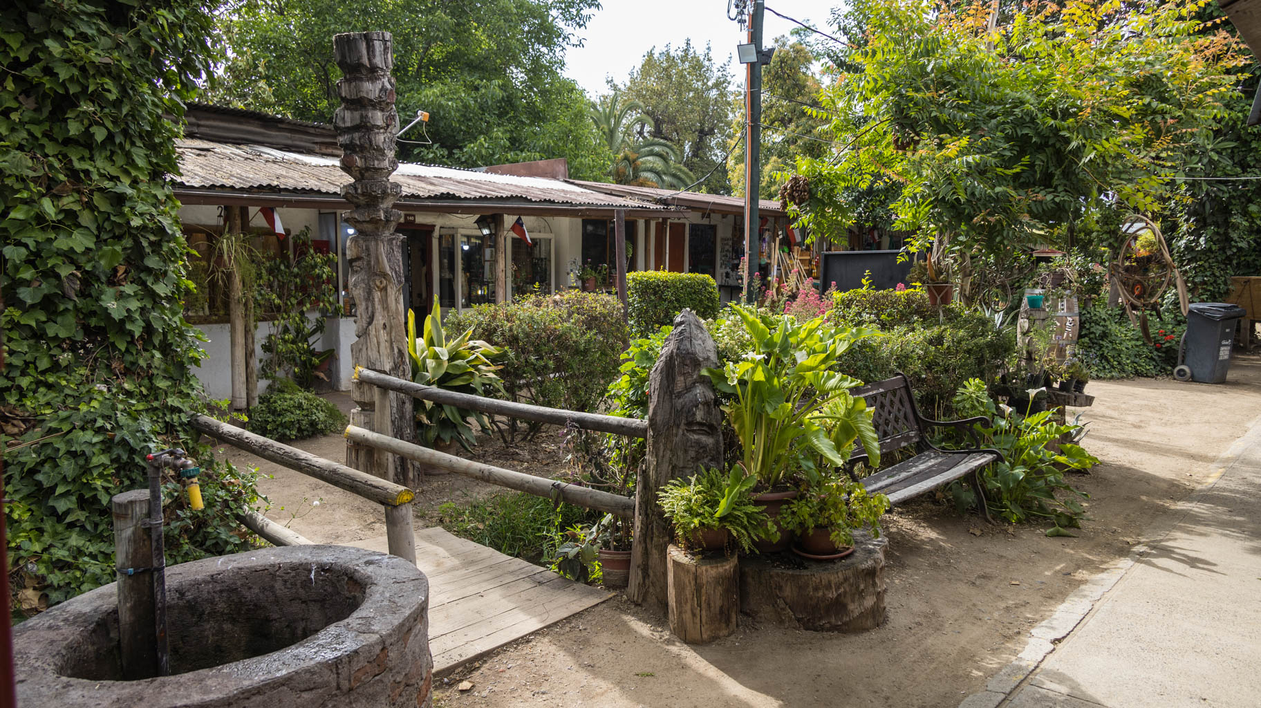
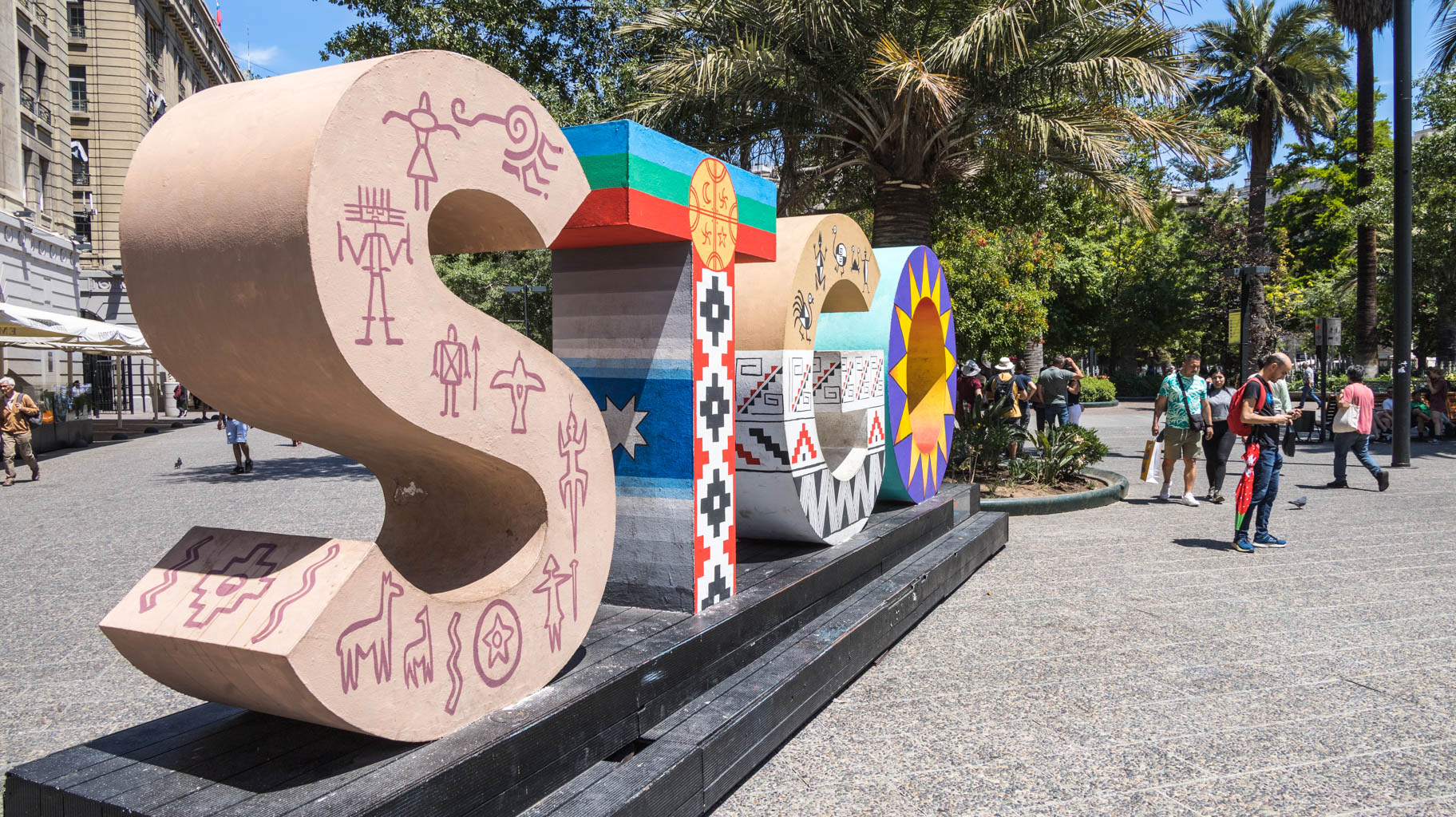
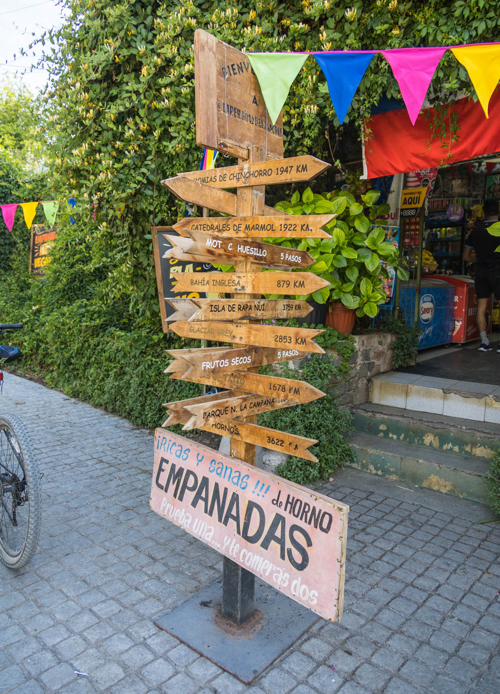
After freshening up and having lunch, despite being very tired, we head into the city. We start at Los Dominicos, where there is a handicraft market. You can buy inexpensive souvenirs from Chile here, including Moai statues, indigenous masks, magnets, and more.
This is also where the nearest metro station is located. We take it to the city center. To use the metro, you need to buy a special card for the equivalent of $1.50 and top it up. Metro fares range from $0.5 to $0.8 depending on the time of day. Unfortunately, tickets can only be paid for in cash and only in Chilean pesos.
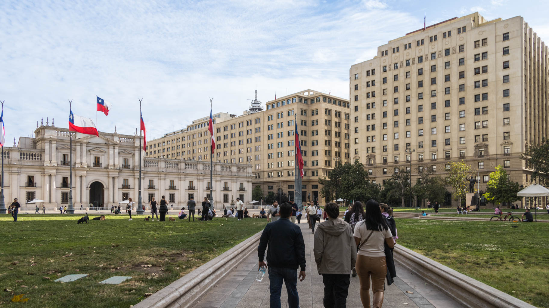
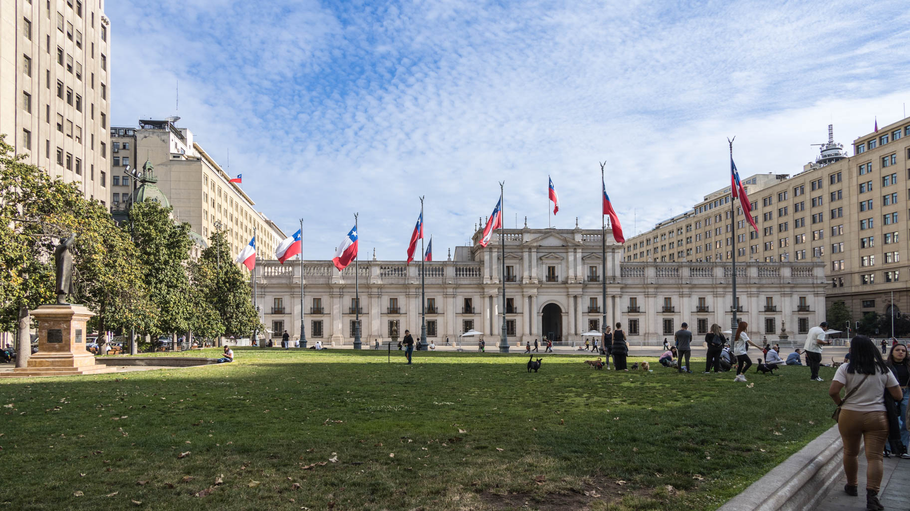
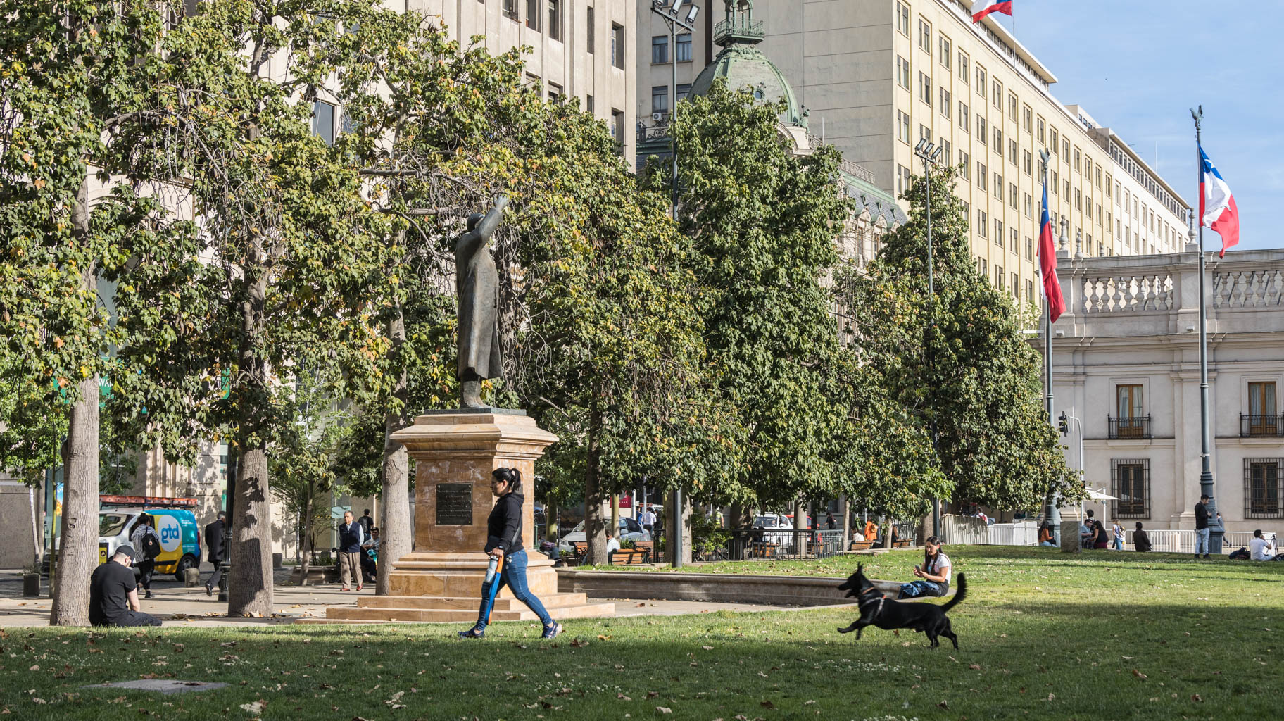
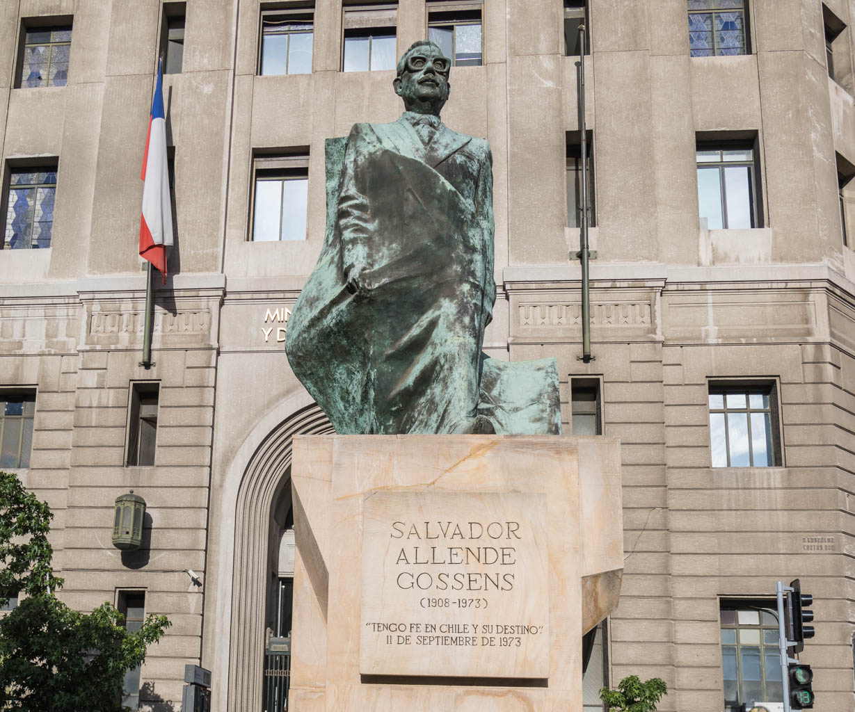
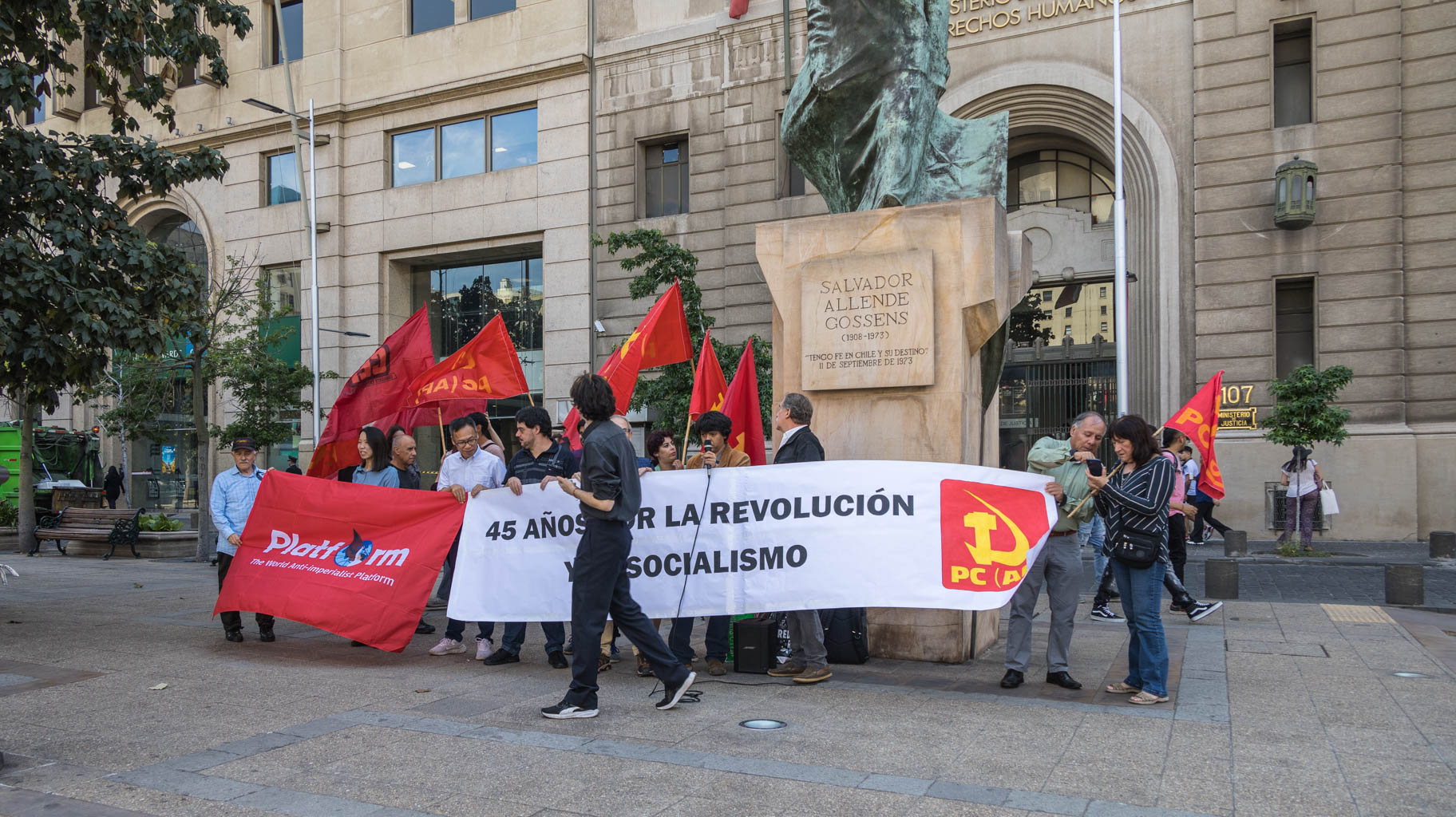
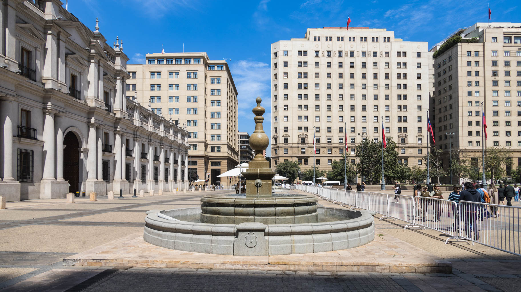
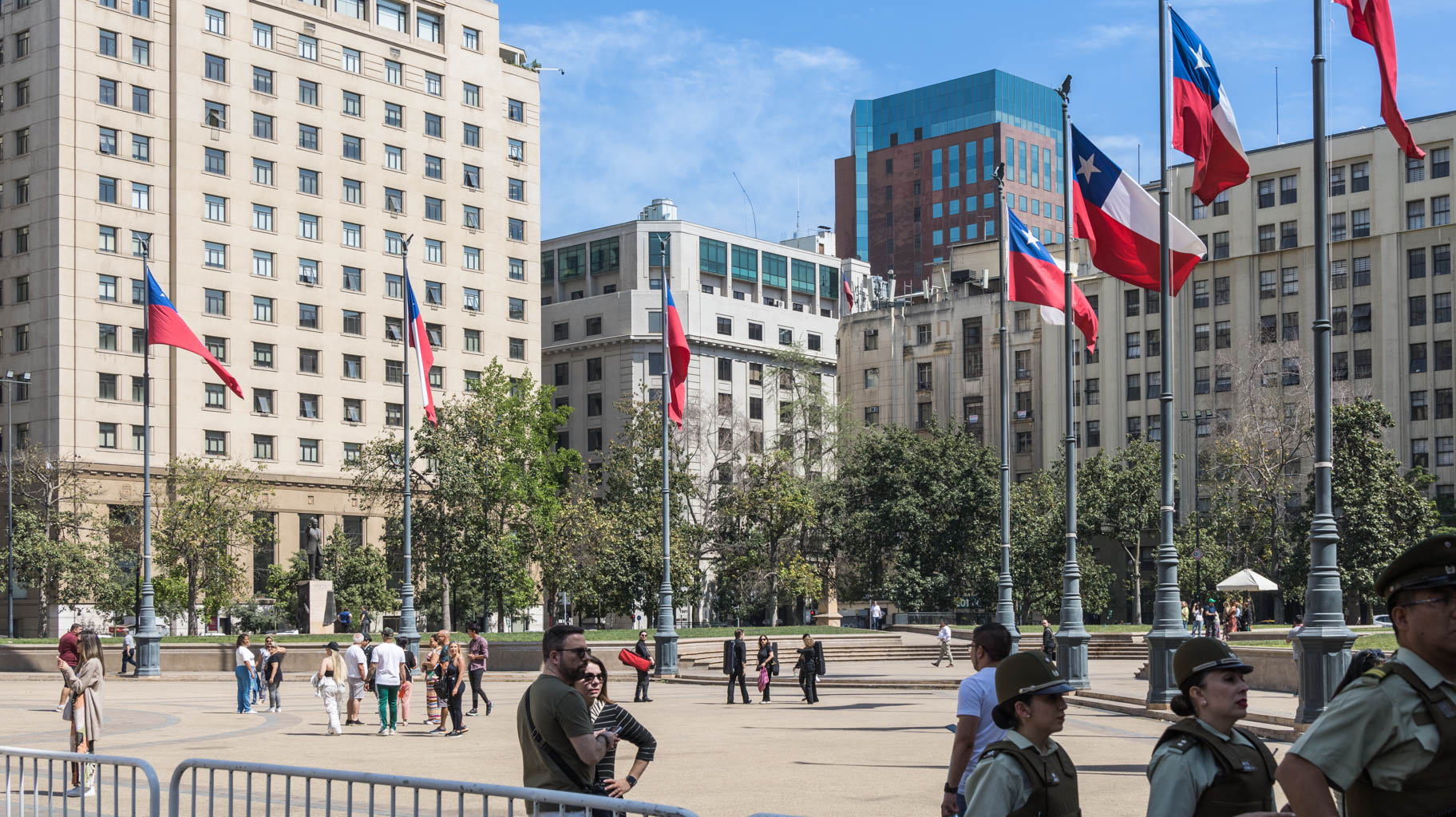
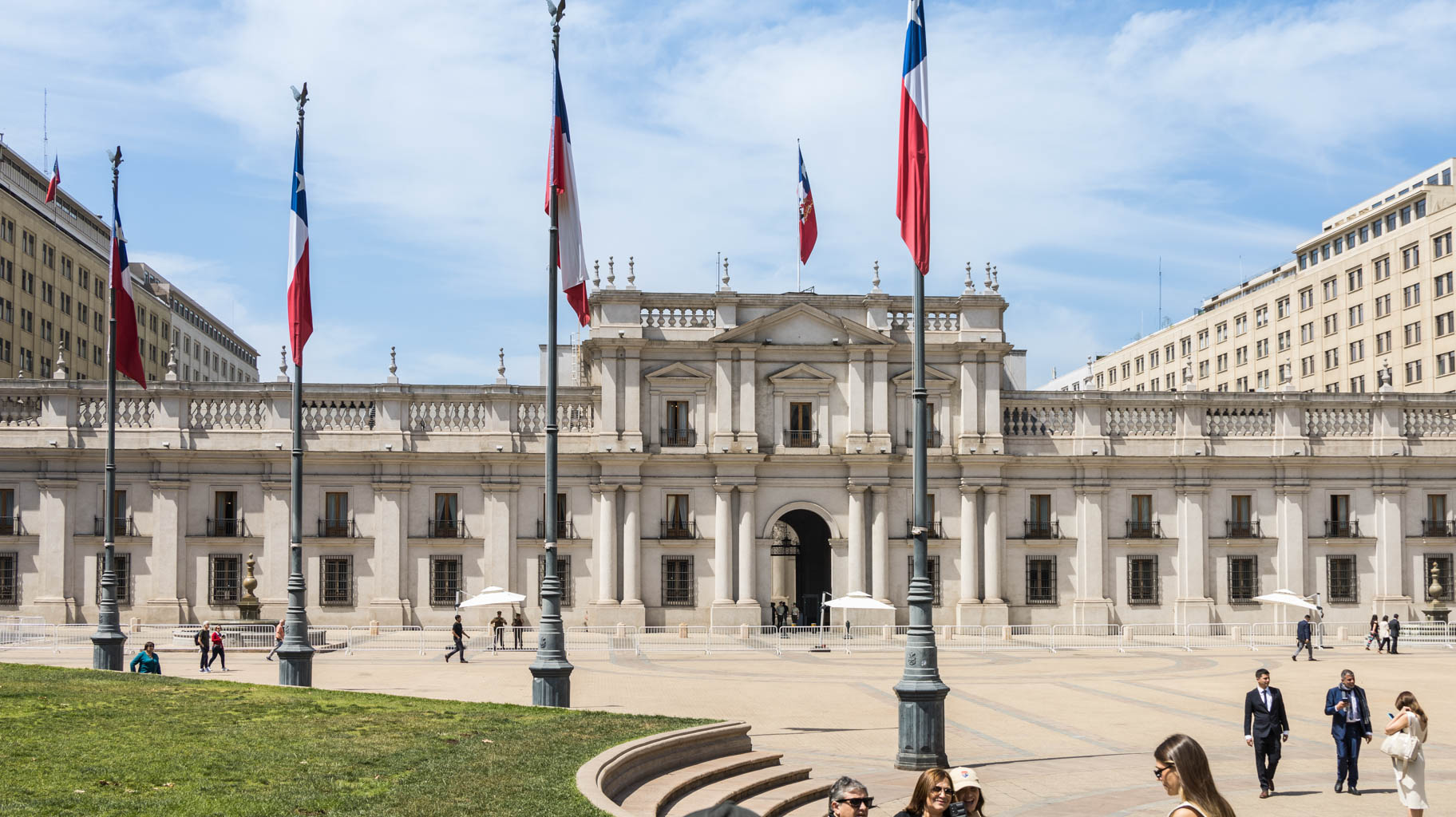
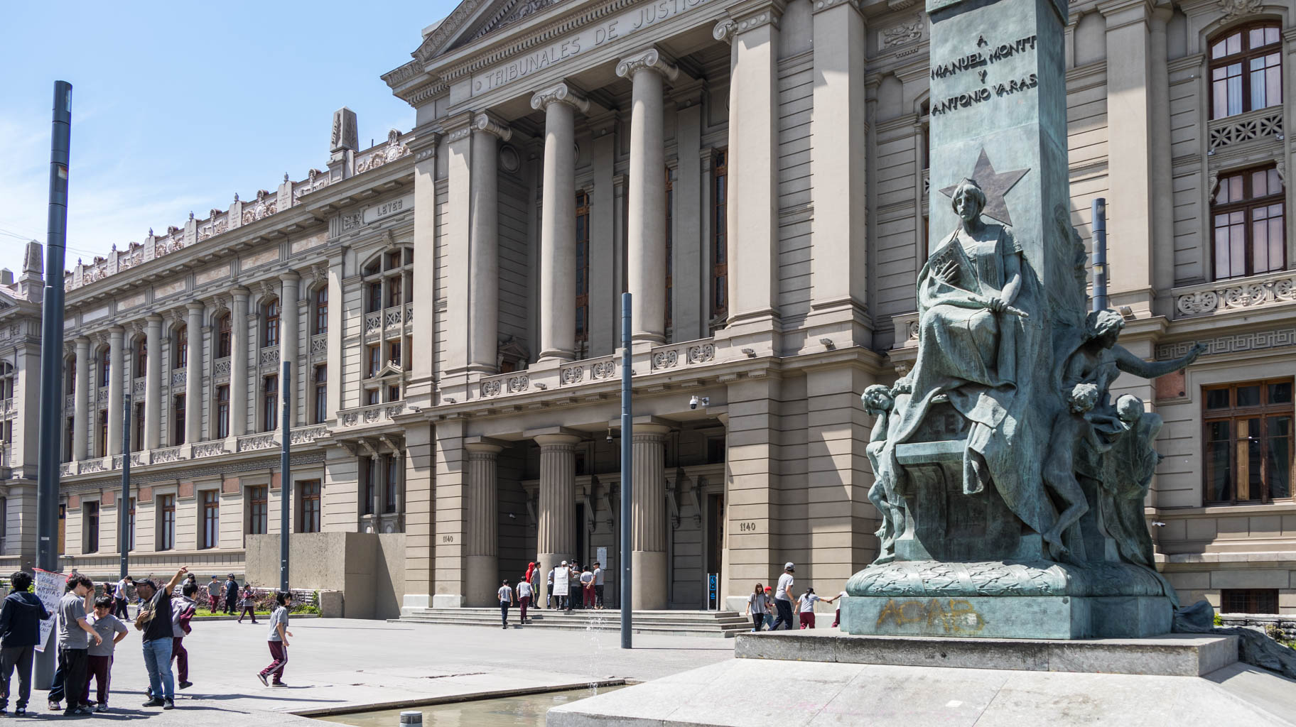
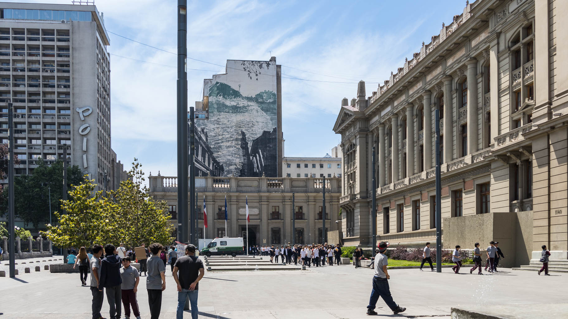
In the center, we get off near the university and walk to La Moneda Palace, the residence of the President of Chile. Next to the palace stands a monument to former President Salvador Allende, overthrown in 1973 by dictator Augusto Pinochet in a military coup. Pinochet ruled until 1990.
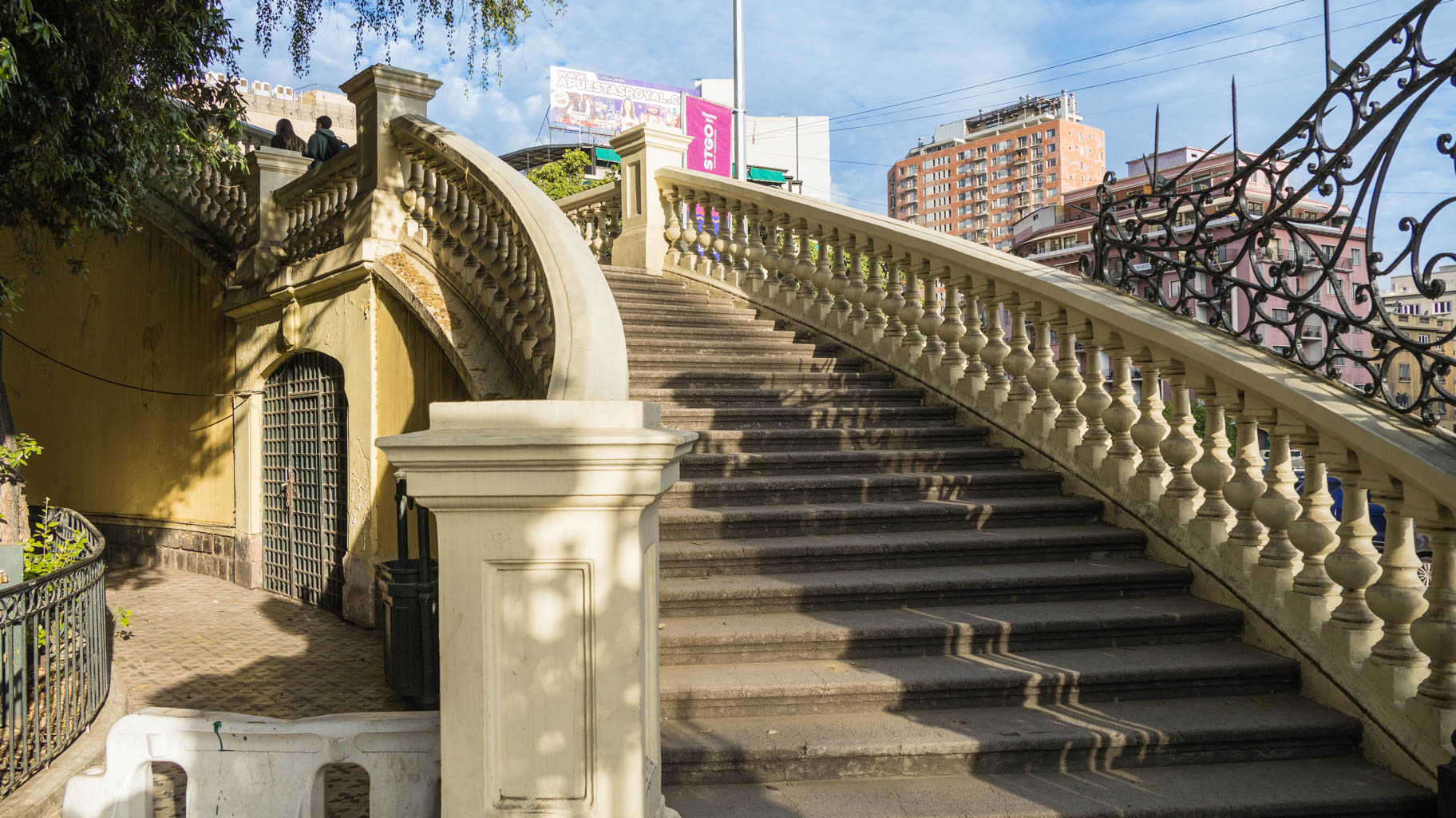
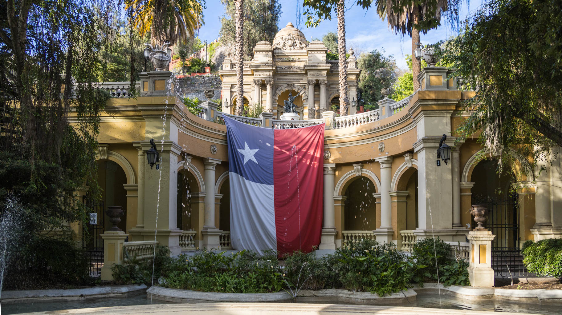
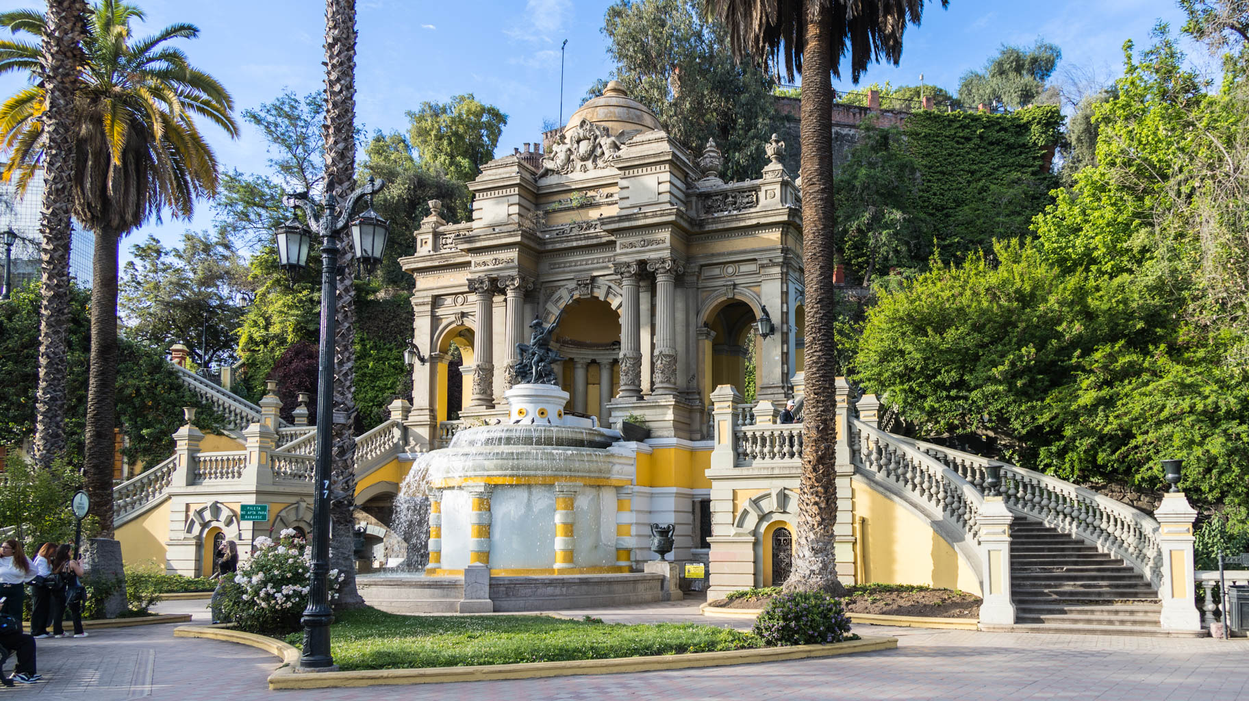
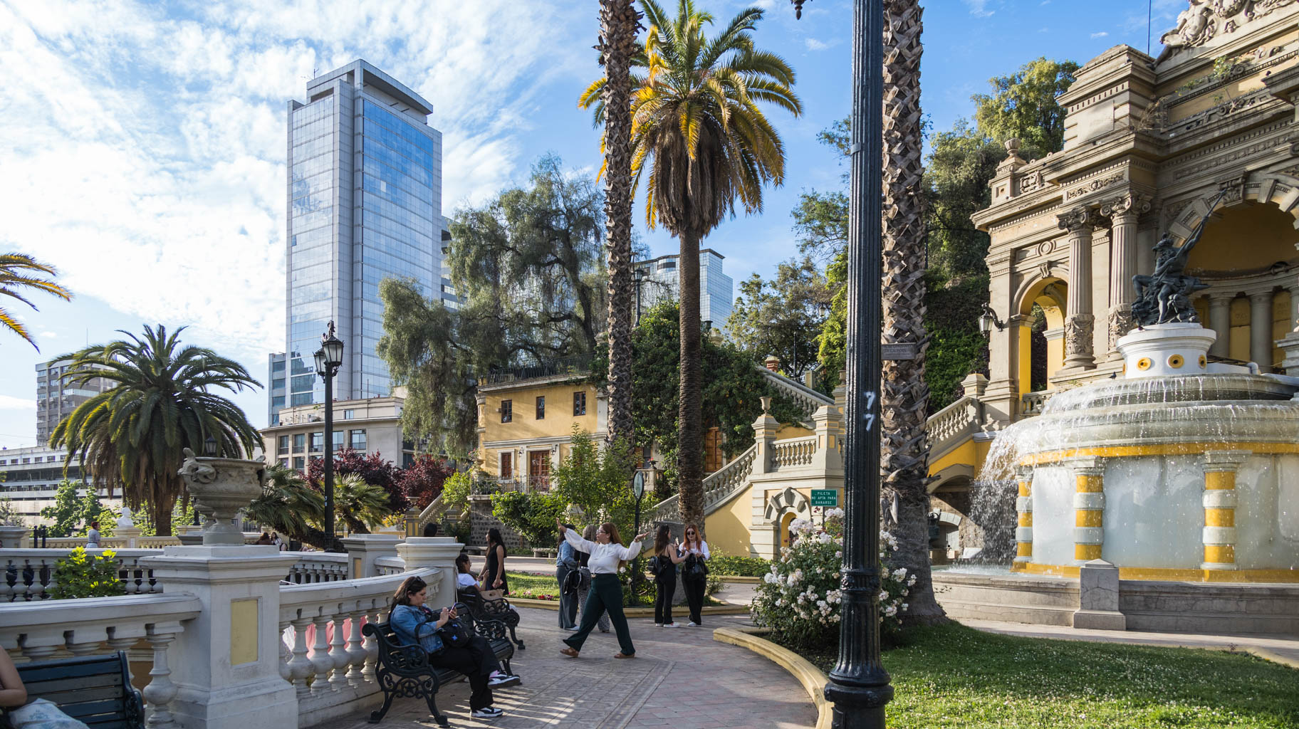
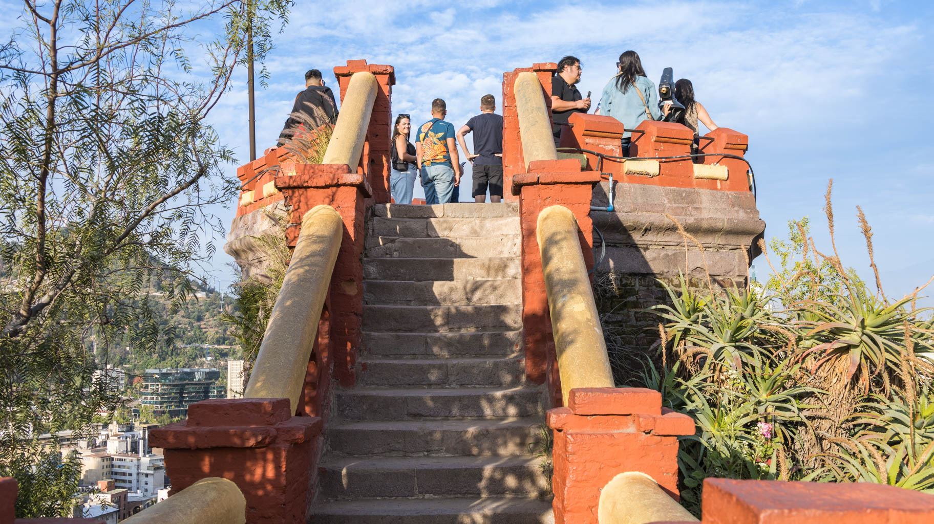
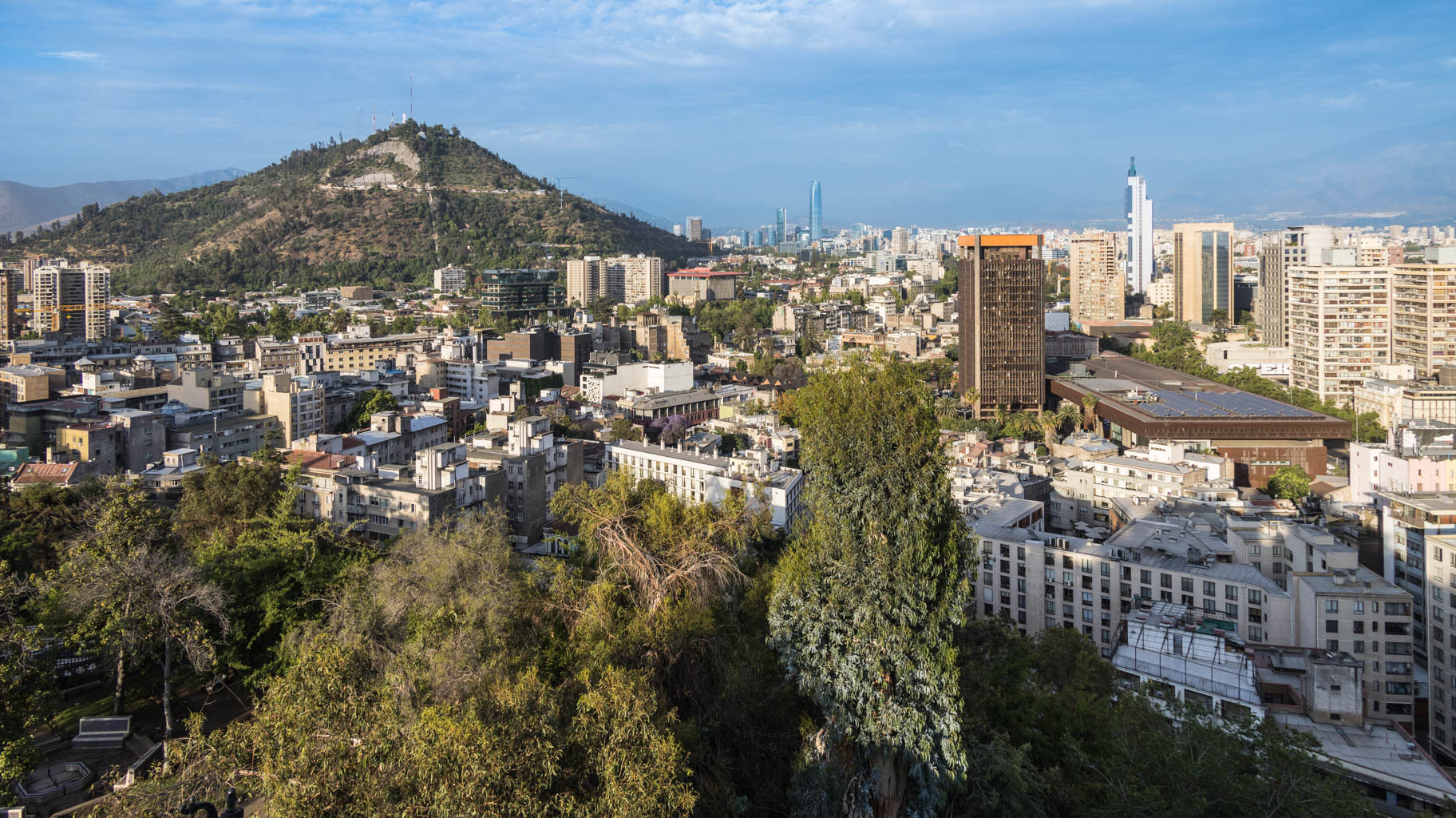
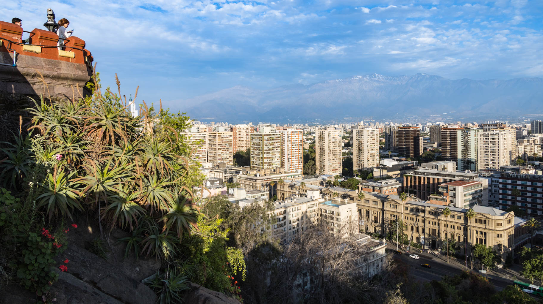
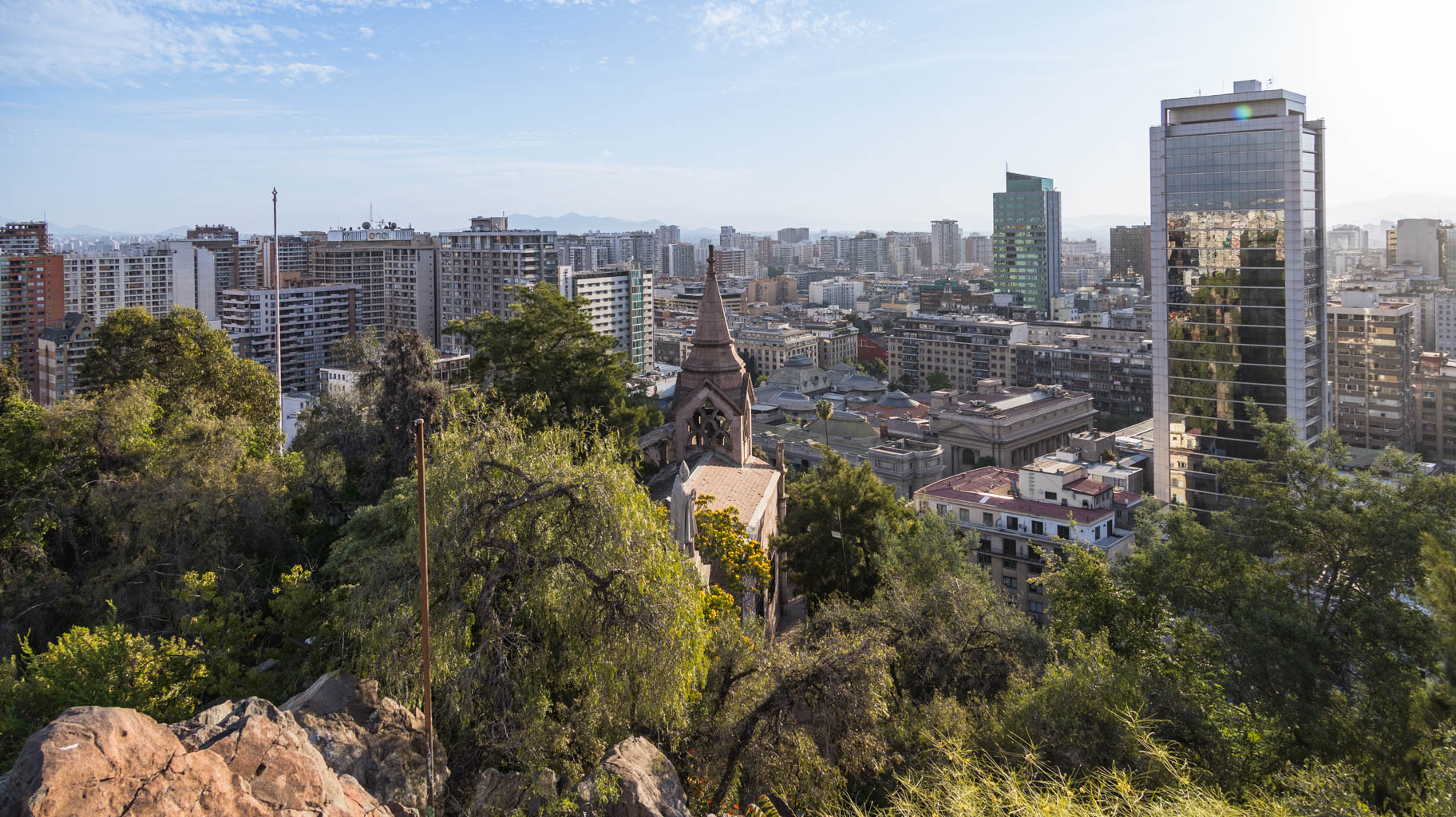
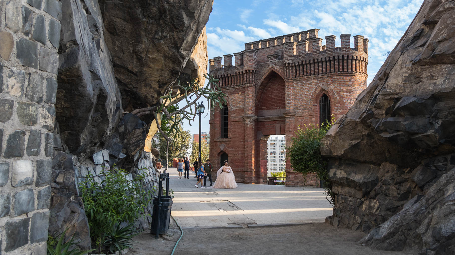
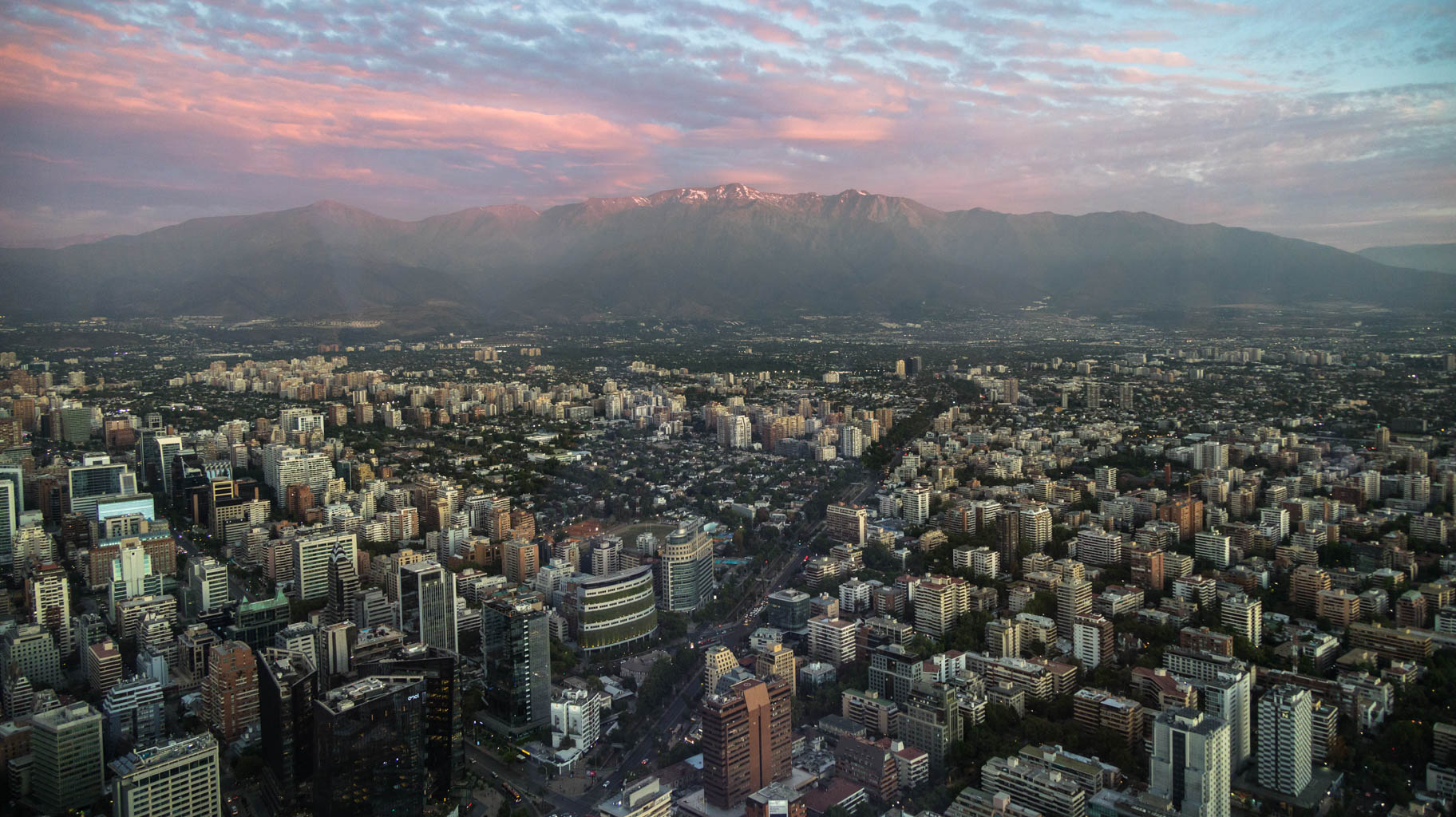
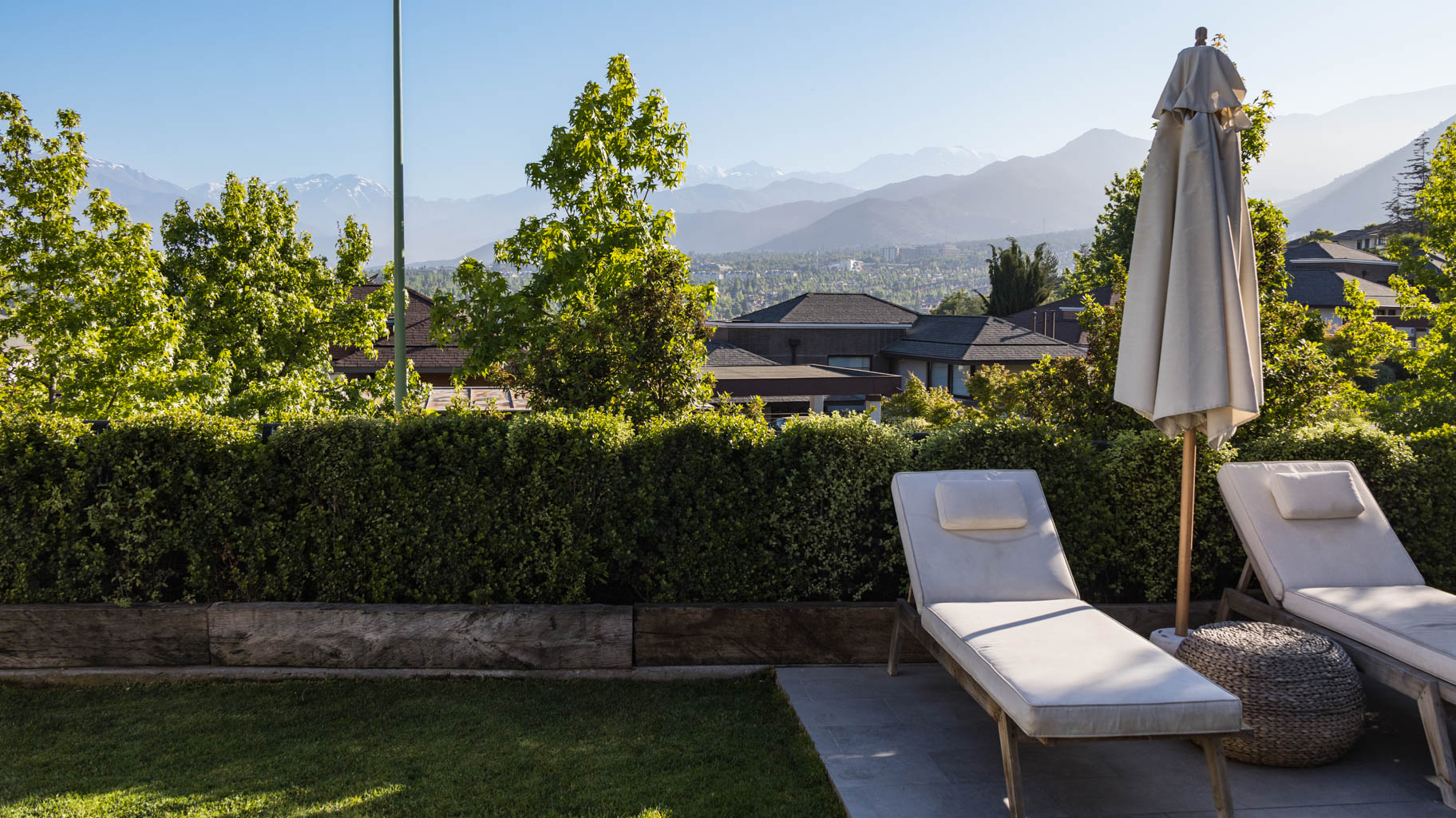
From there, we head to Santa Lucia Hill, which offers a panoramic view of the entire city.
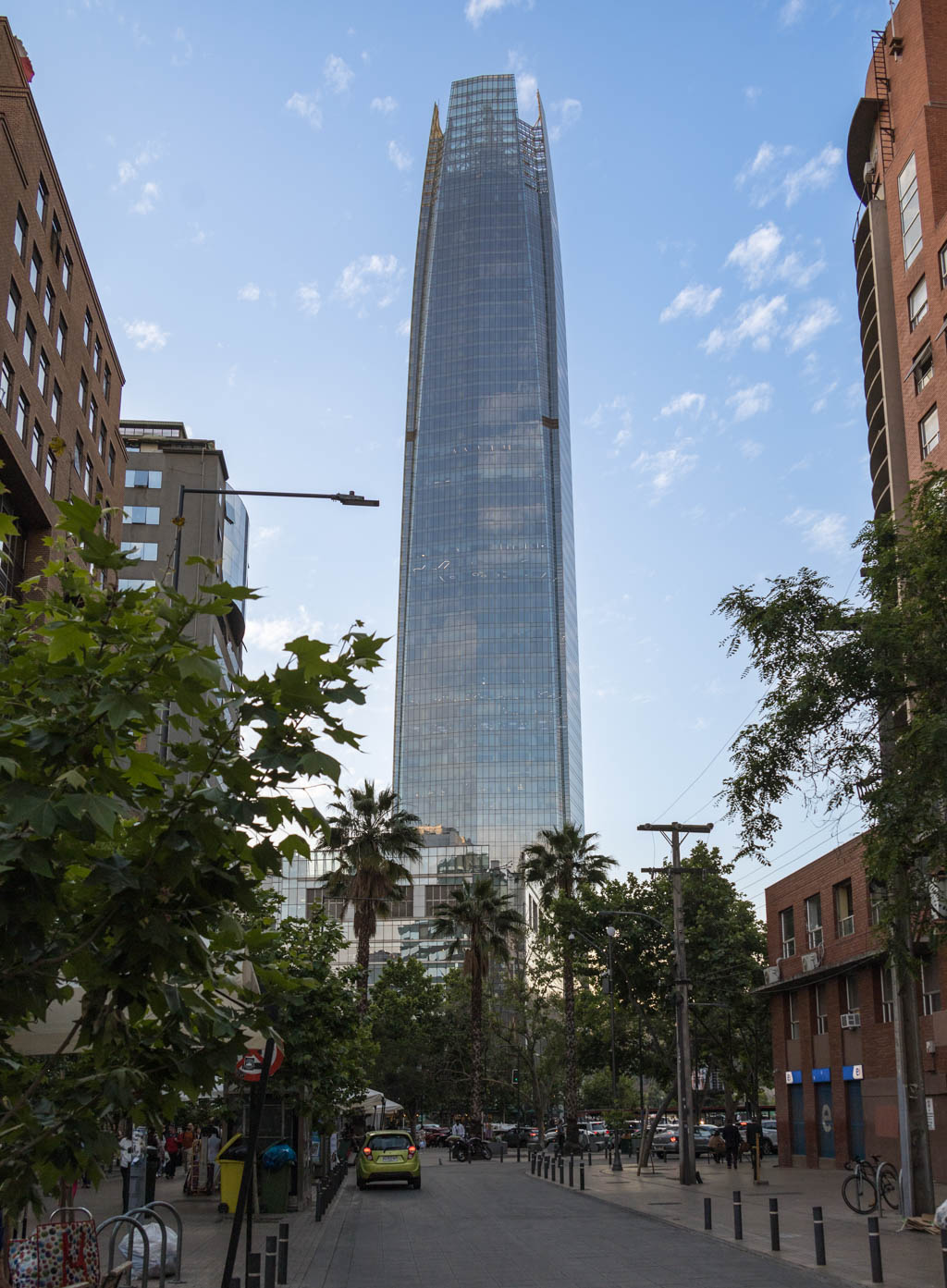
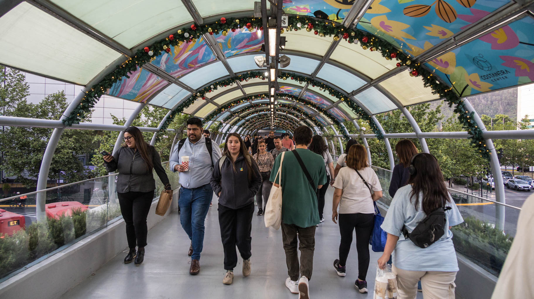
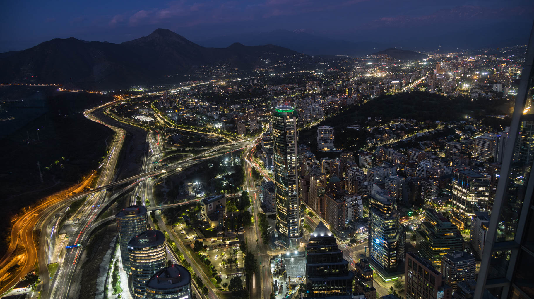
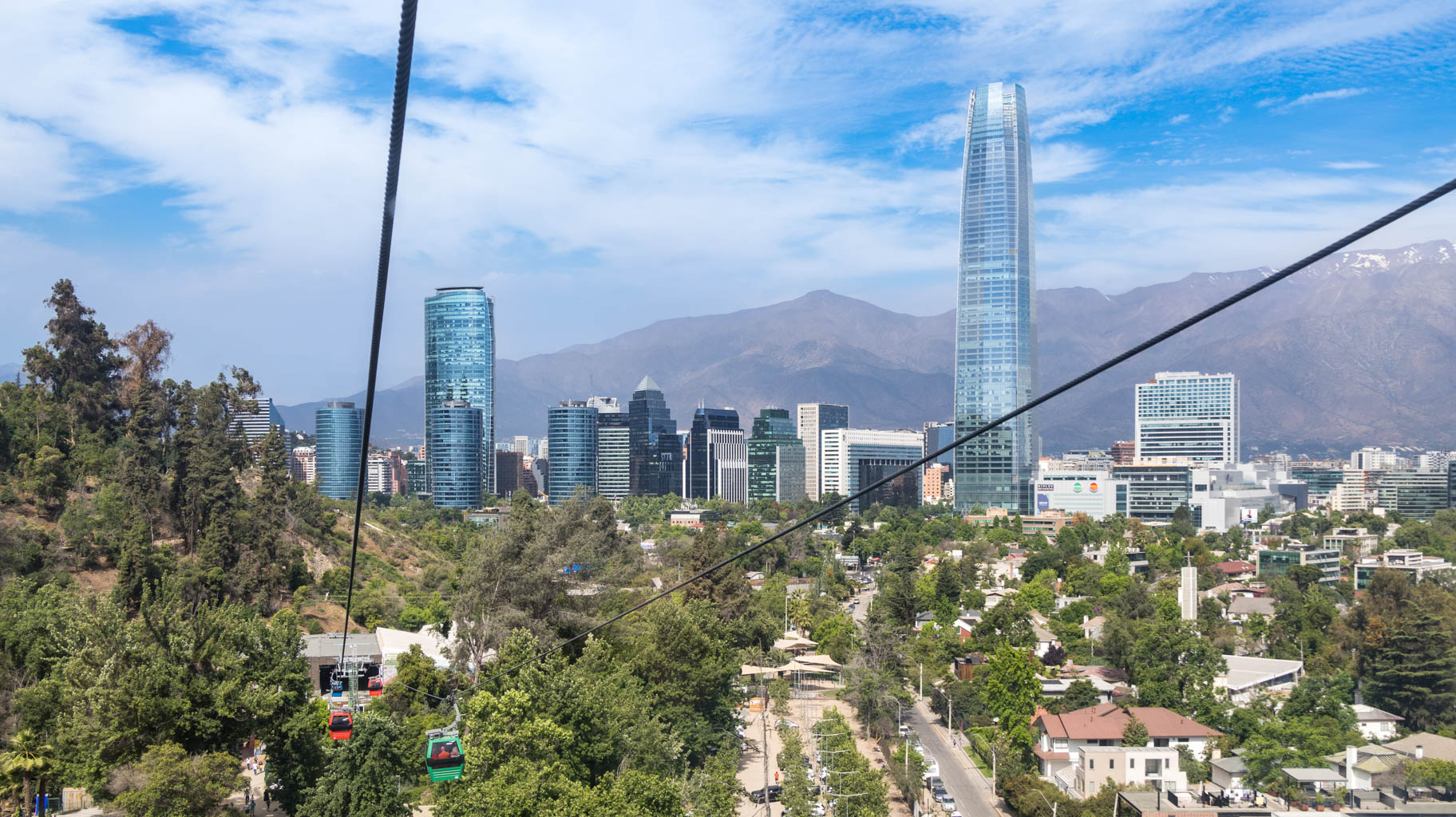
A bit further on is the Costanera Center building, whose rooftop hosts one of the city’s main tourist attractions: Sky Costanera (entry $18). It’s an observation deck on the 61st floor of this glass skyscraper, which stands 300 meters tall. It is the tallest building in all of South America.
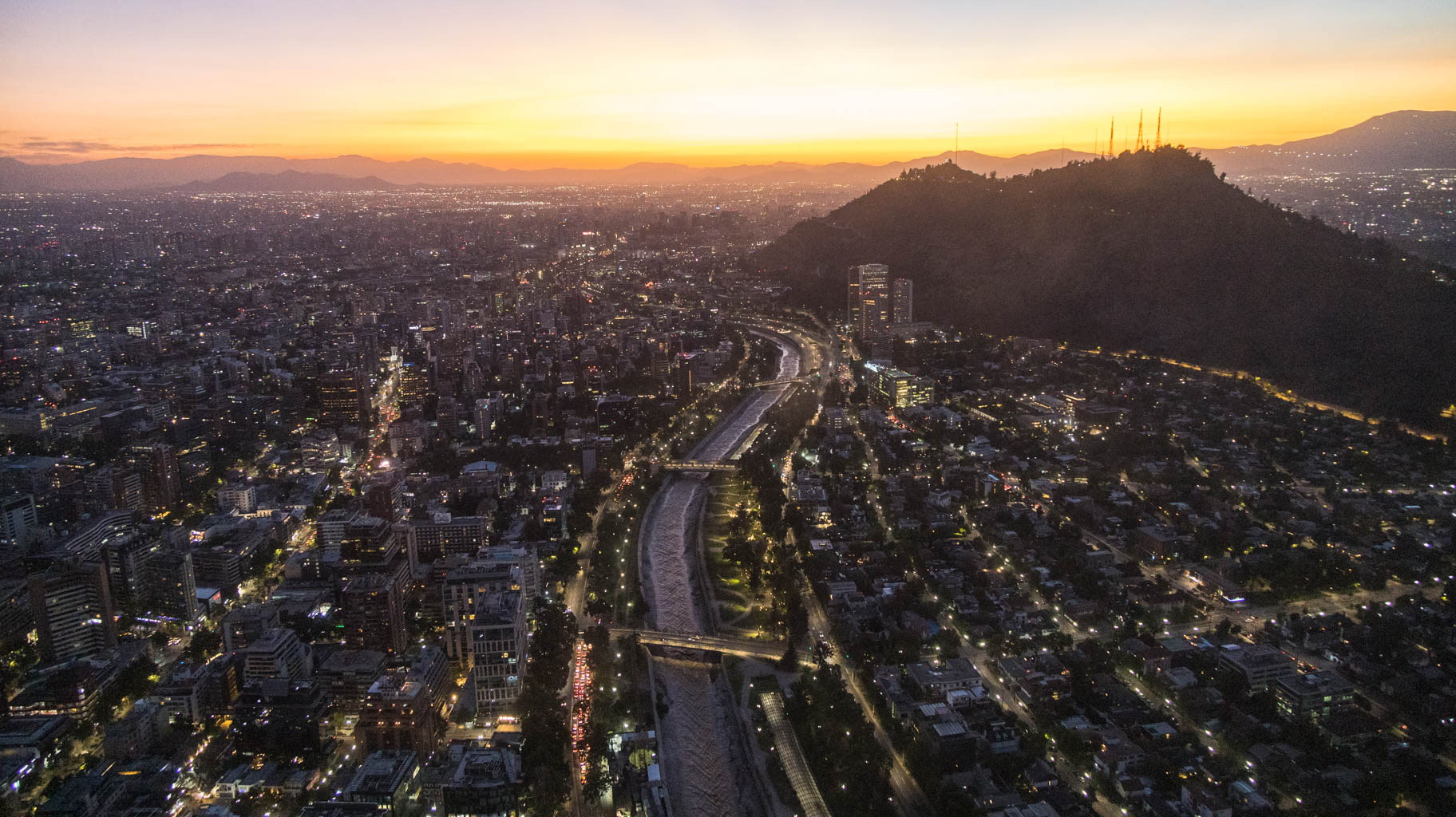
We arrive just in time for the end of the sunset and stay to enjoy the view of the city after dark.
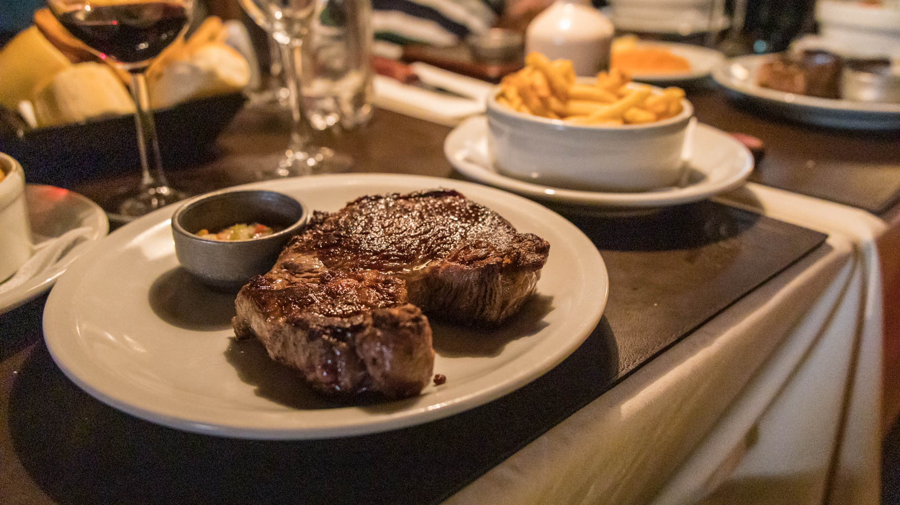
From there, we walk about fifteen minutes to a well-known restaurant called Baco, which serves Chilean cuisine, among other things. To get in, you need to wait in line for about half an hour, but it’s worth it—the steak I ordered was perfectly cooked. Dishes range from $10 to $20.
Looking at the prices in Santiago, you could say they’re similar to those in Central Europe. This is not surprising, as Chile’s GDP is at a very similar level. It’s worth adding that of all the South American countries I’ve visited, Chile is the most developed—and consequently, also the most expensive.
At 10 a.m. we have a 2.5-hour guided walking tour of Santiago booked with a local guide. This is another time we’re using what’s called a Free Walking Tour. The tours themselves are free, and at the end, each person gives the guide a tip—typically around $10 per person. There are several websites that connect guides from almost every city in the world.
Before meeting the guide, we go out for breakfast. There are many breakfast spots offering burgers, sandwiches, coffee, etc. Restaurant and café prices are more or less similar to those in Central Europe. For example, a coffee costs around $3-4, a sandwich or burger around $5-7. A pizza for lunch is about $10.
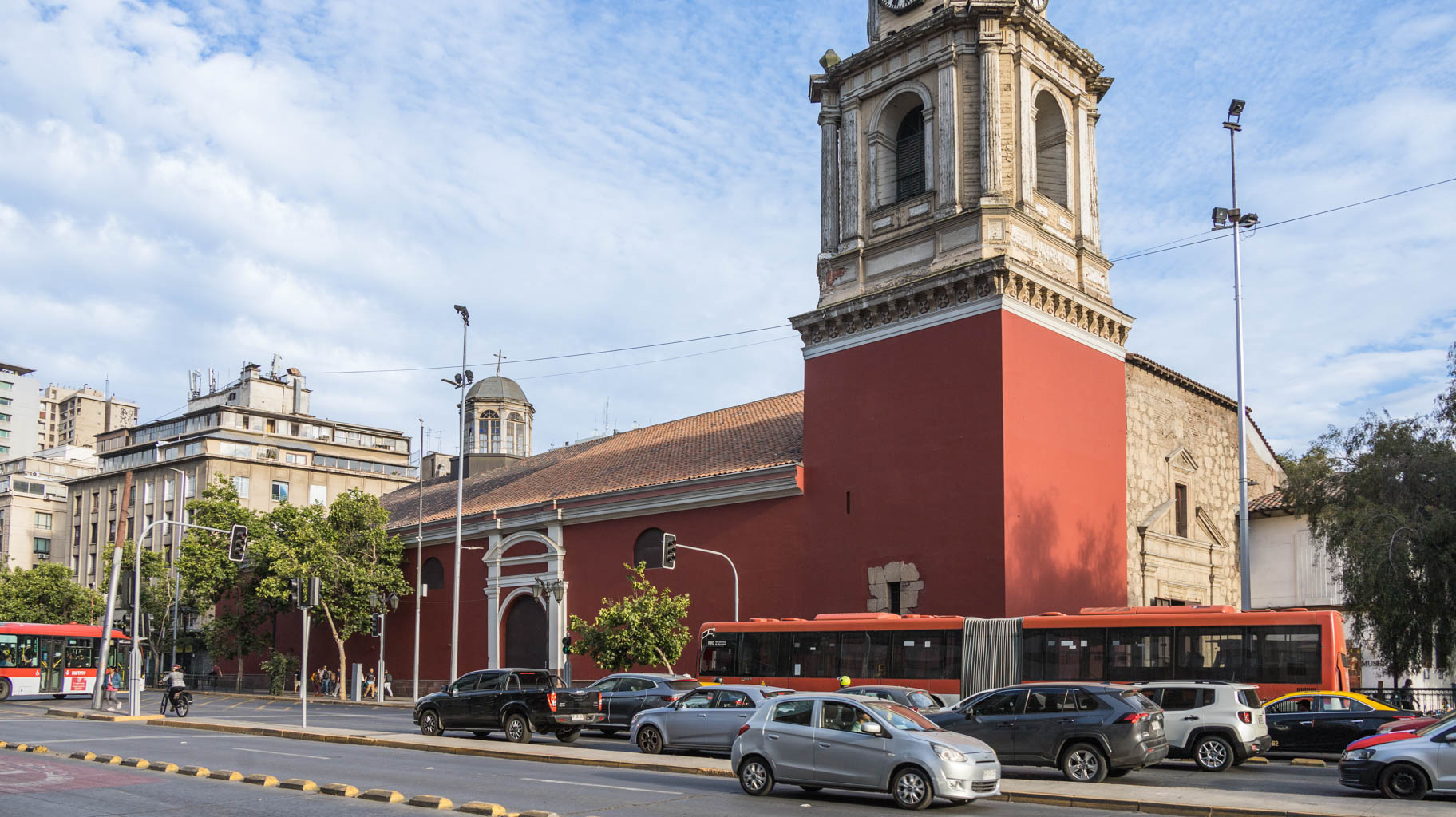
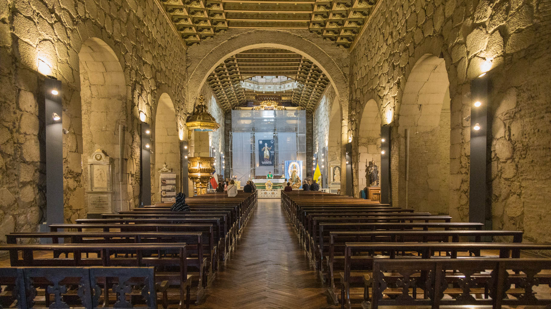
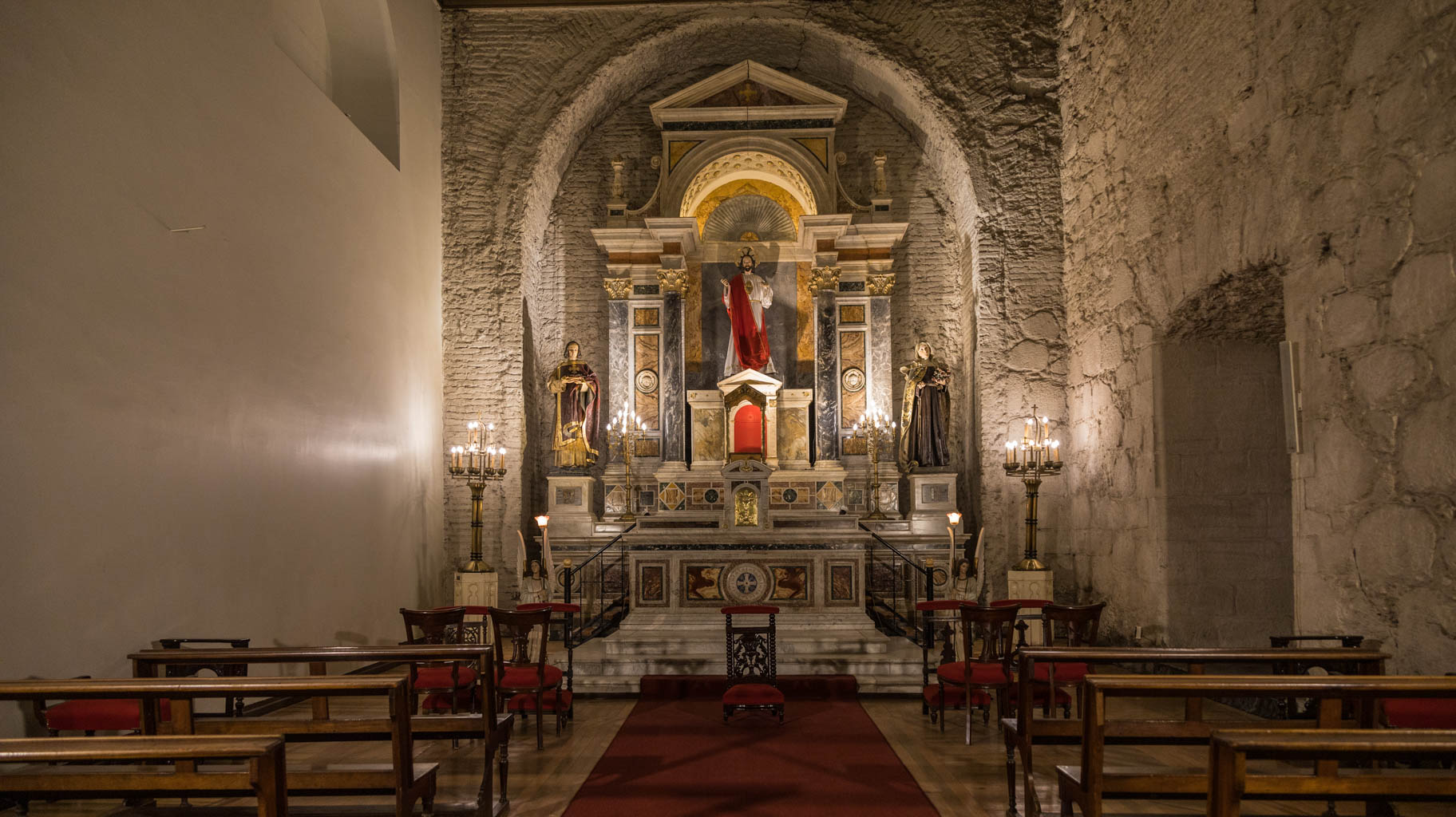
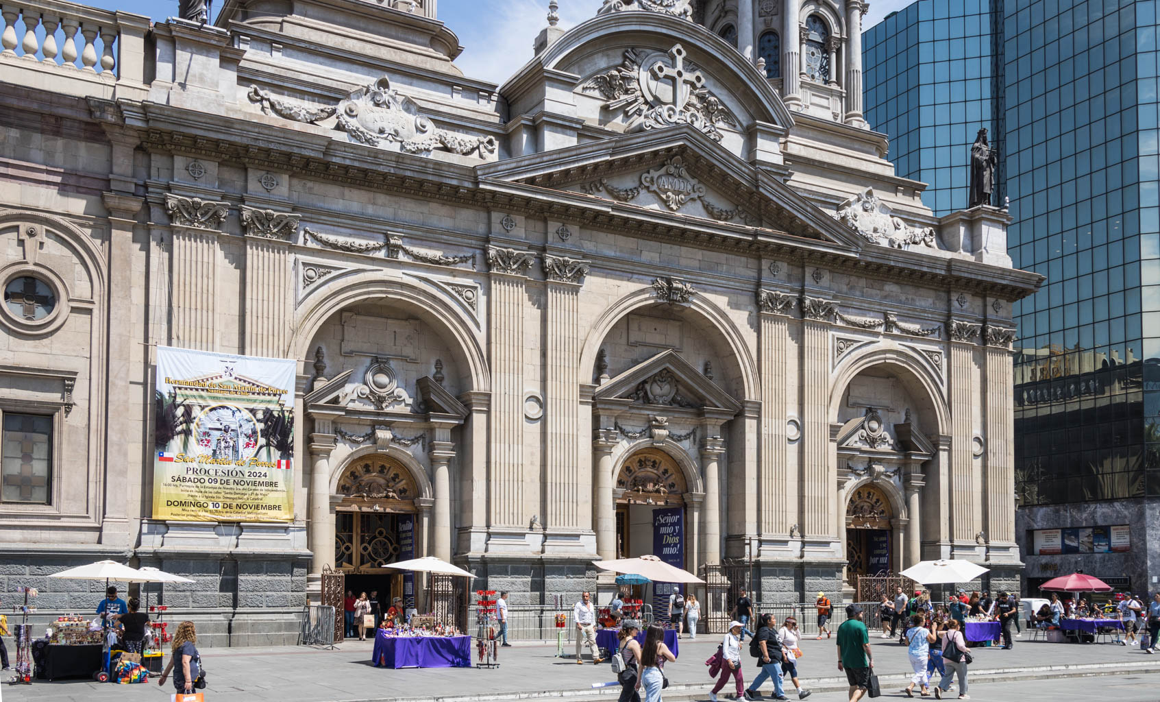
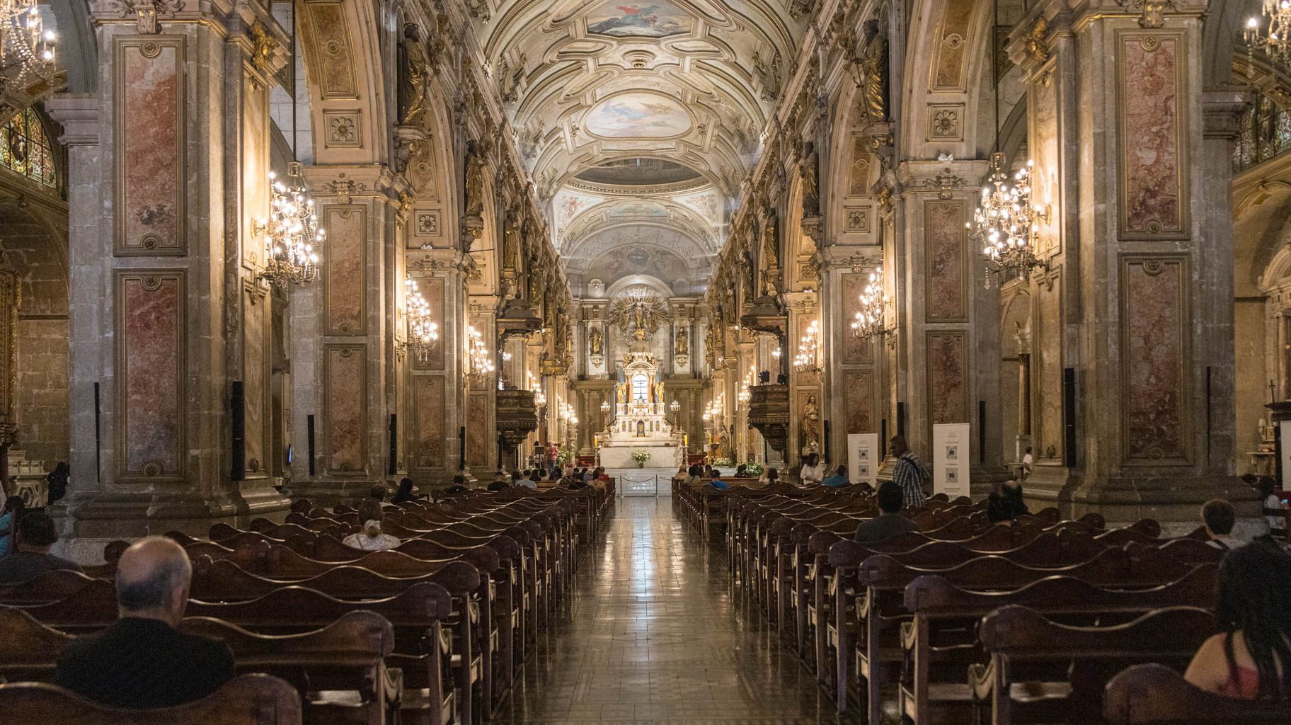
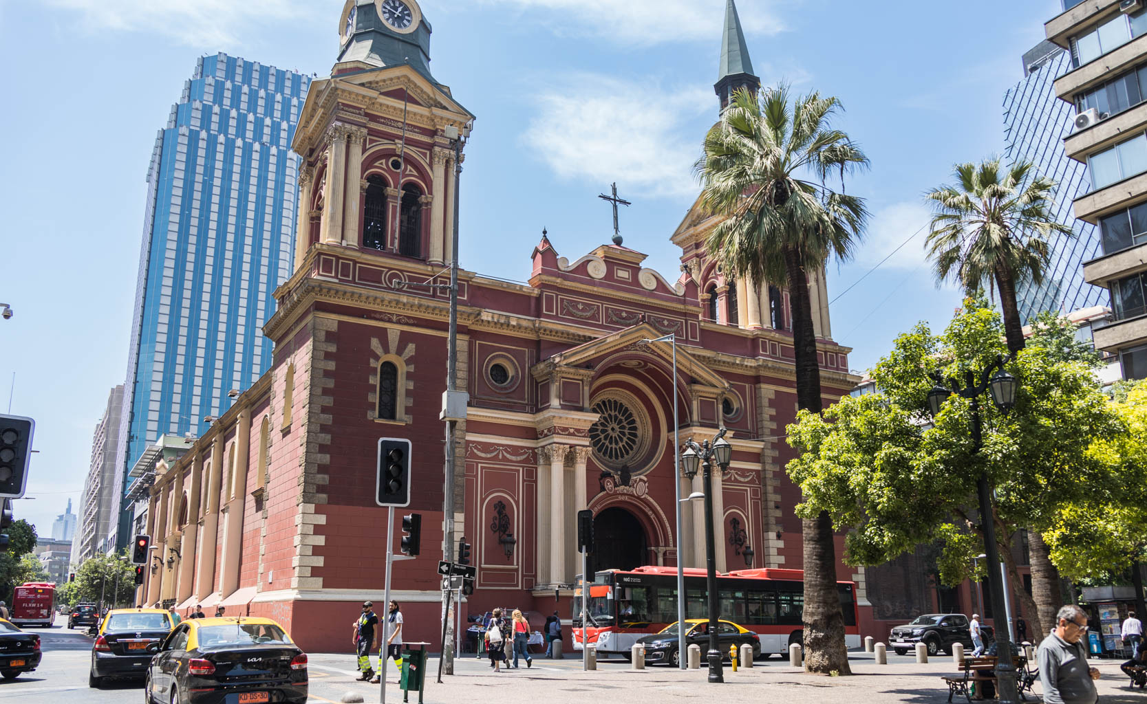
We meet the guide at Iglesia San Francisco (Church of Saint Francis). It’s the only pre-colonial church in the city that survived multiple earthquakes. Egg whites were added to the mortar, which bound the bricks more tightly and protected the church from destruction.
Santiago lies in the Pacific Ring of Fire, so minor earthquakes happen frequently, and more significant ones occur every few years. In 2010, there was an earthquake with a magnitude of 8.8.
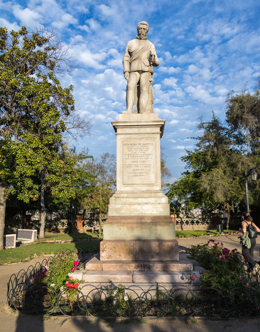
The city was founded in 1541 by Spanish conquistador Pedro de Valdivia and named Santiago in honor of the patron saint of Spain.
Previously, these lands were inhabited by the Incas, who came here from Peru. Their rule was harsh and brutal. The conquered peoples had one purpose only—to serve as slaves, never granted any rights in the new society.
Another group that inhabited the area were the Mapuche, who were even more fierce and combative. These two peoples fought each other with all their might.
The Spanish conquest dealt with both groups, establishing Spanish rule here until 1818.
Chile enjoyed freedom and democracy until 1973, when General Augusto Pinochet, with the help of the United States, carried out a coup d’état and killed the then leftist president Salvador Allende. Pinochet committed genocide on a massive scale while implementing many systemic changes to establish experimental capitalism. This included forcing Chileans to invest in mutual funds, which were fully invested in the domestic stock market to fund local companies—naturally tied to Pinochet himself.
According to a declassified CIA report released by Barack Obama, the agency supported Pinochet out of fear that the country would fall into communist hands. Chile was a supplier of natural resources to both the U.S. and the U.K., some of which were essential for bomb production.
Privately, Pinochet was a friend of Margaret Thatcher, and even Pope John Paul II officially supported his regime. In the end, after leaving office, Pinochet lived in comfort and was never punished for crimes against humanity.
Leaving politics aside, a few words about the places we visited.
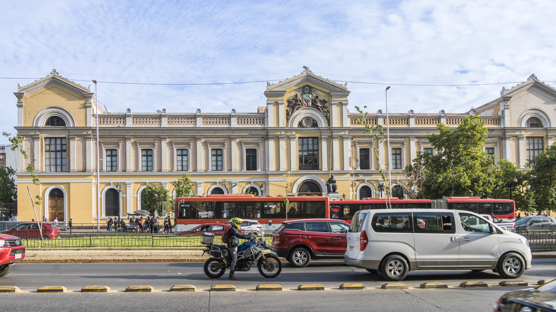
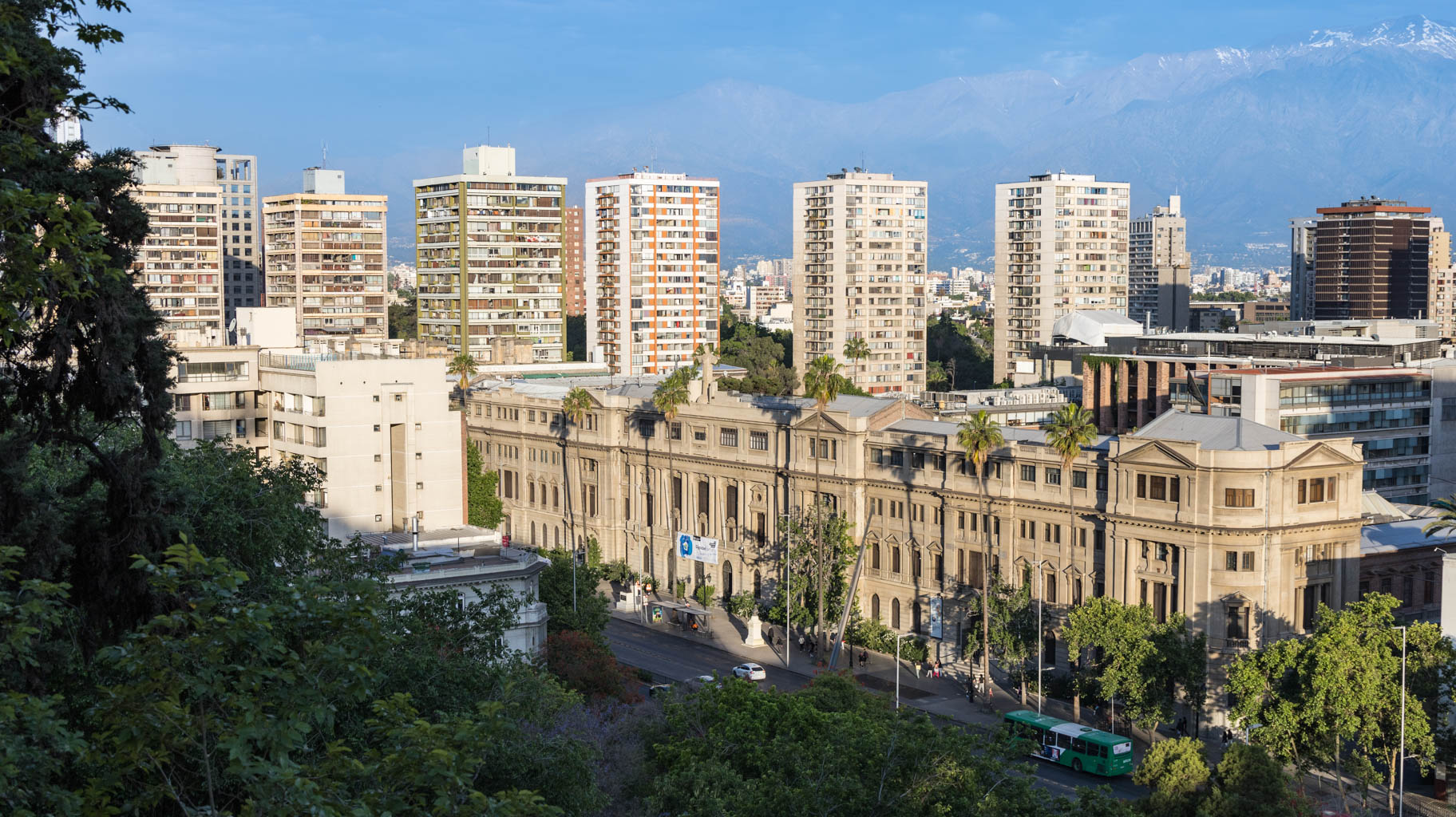
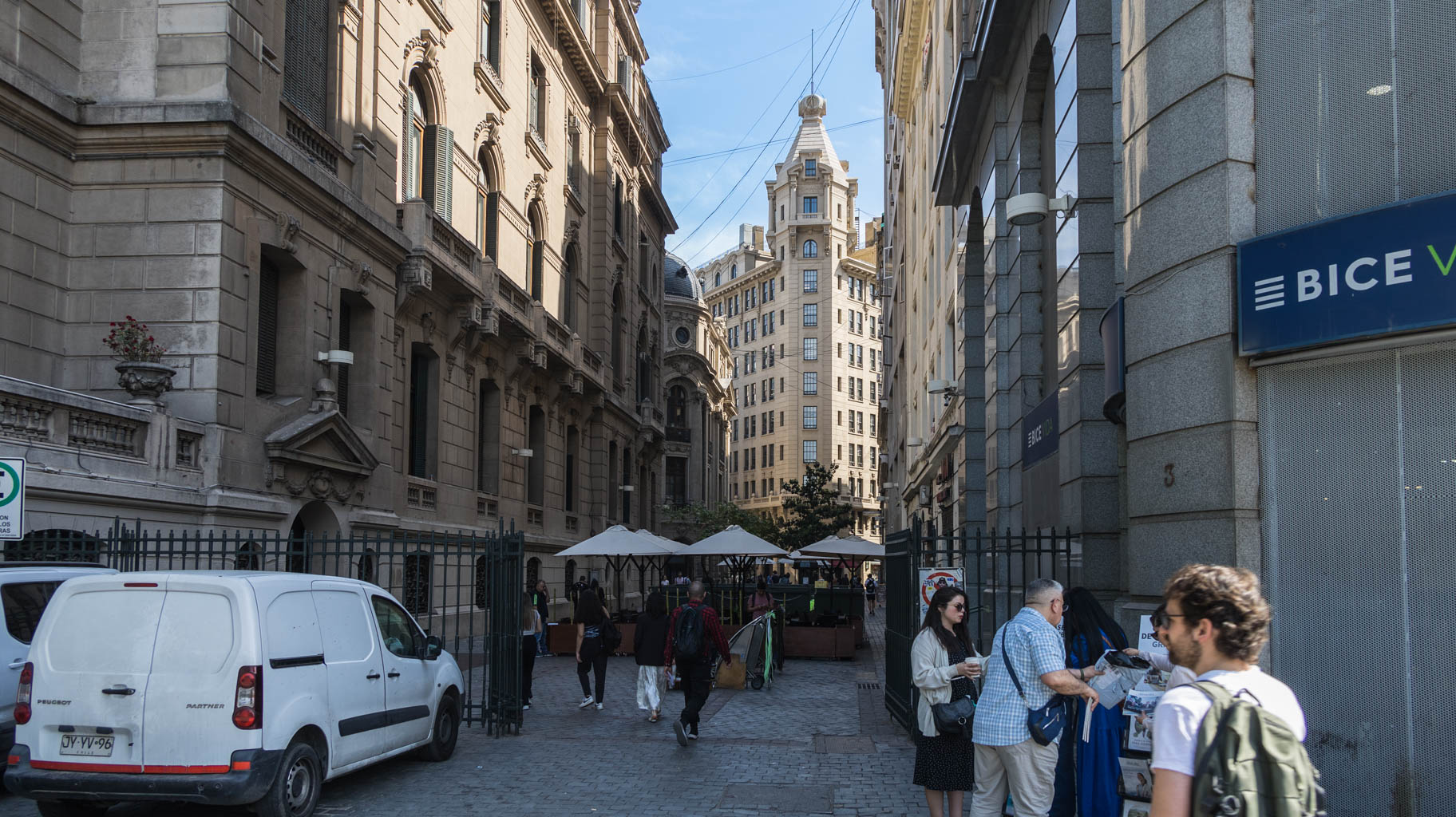
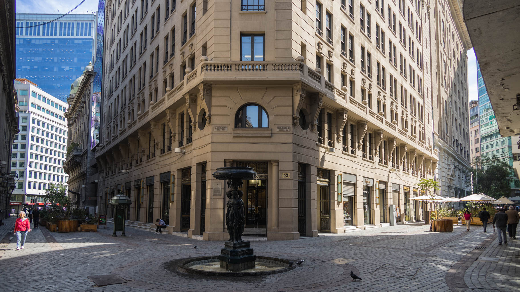
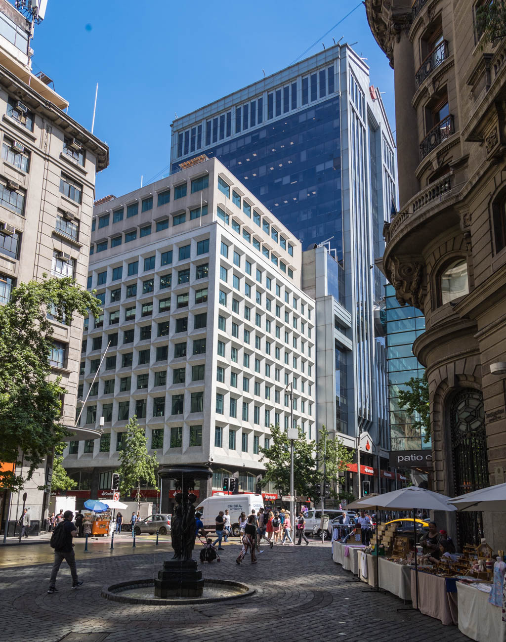
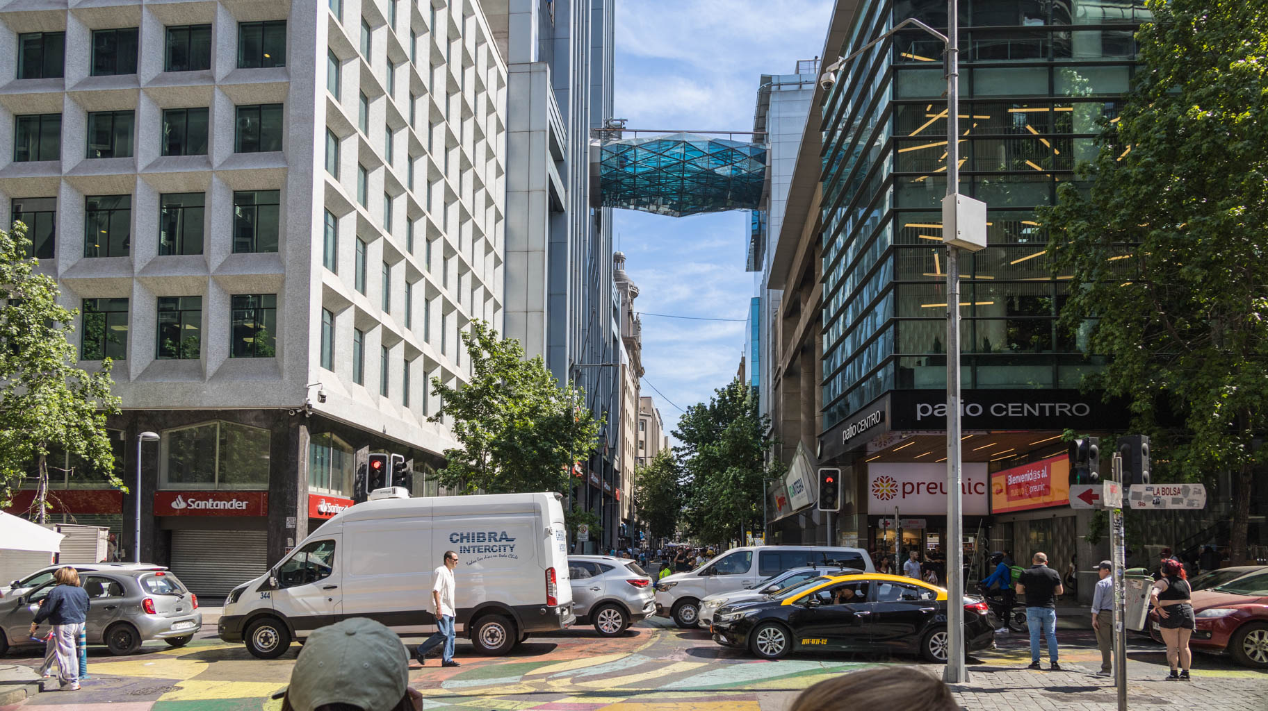
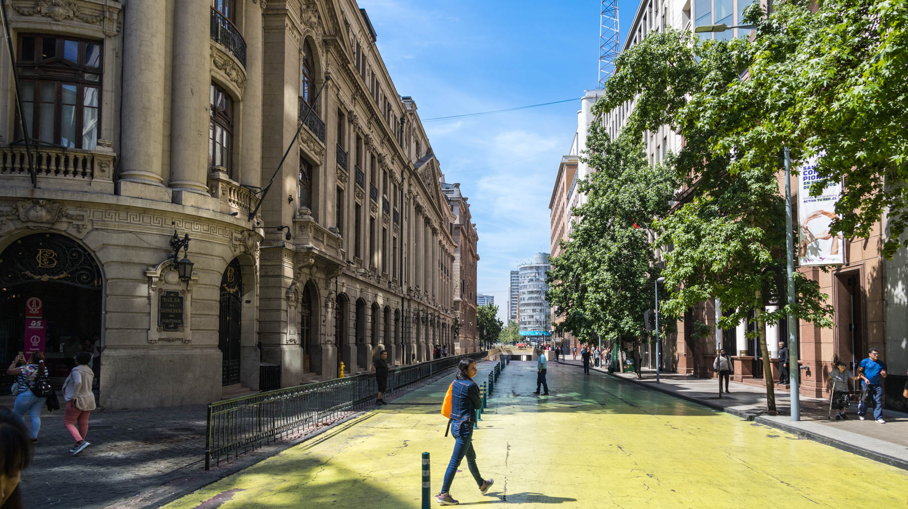
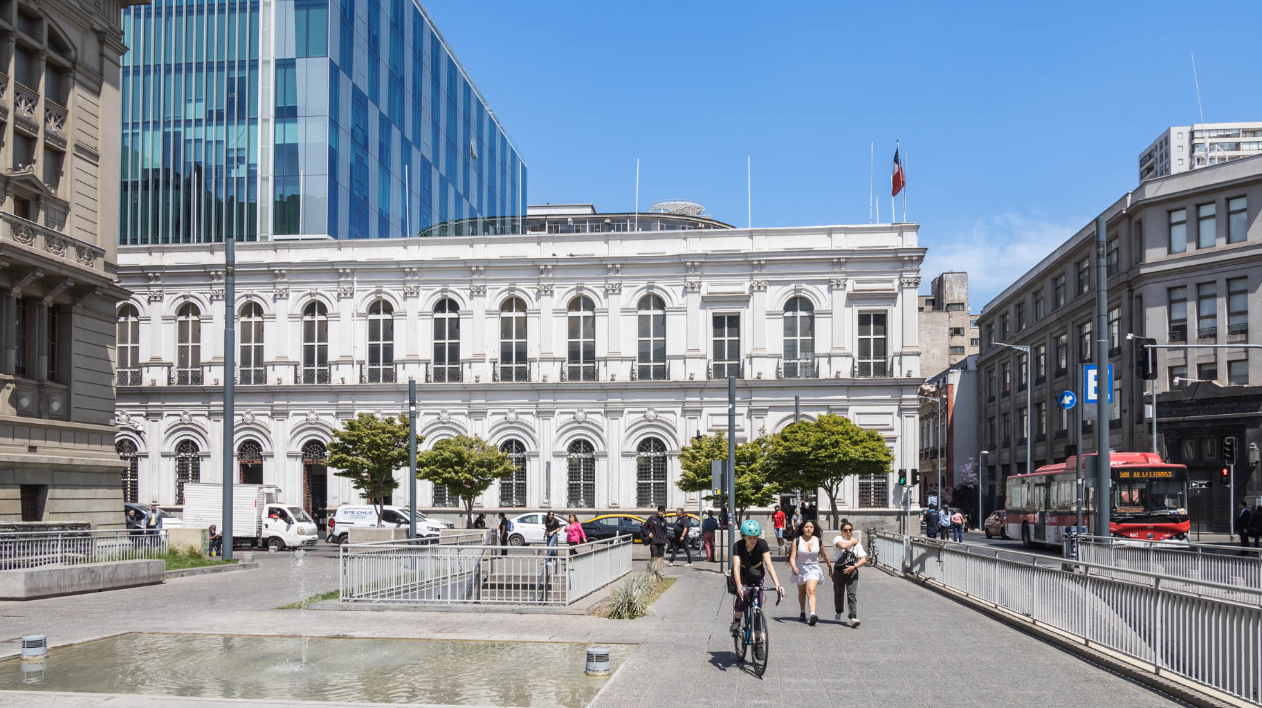
We’re near the Stock Exchange building, the Central Bank, and the University. This is the most exclusive part of the city, once home to elite-only clubs. The entire district was built using special technology that makes the buildings earthquake-resistant.
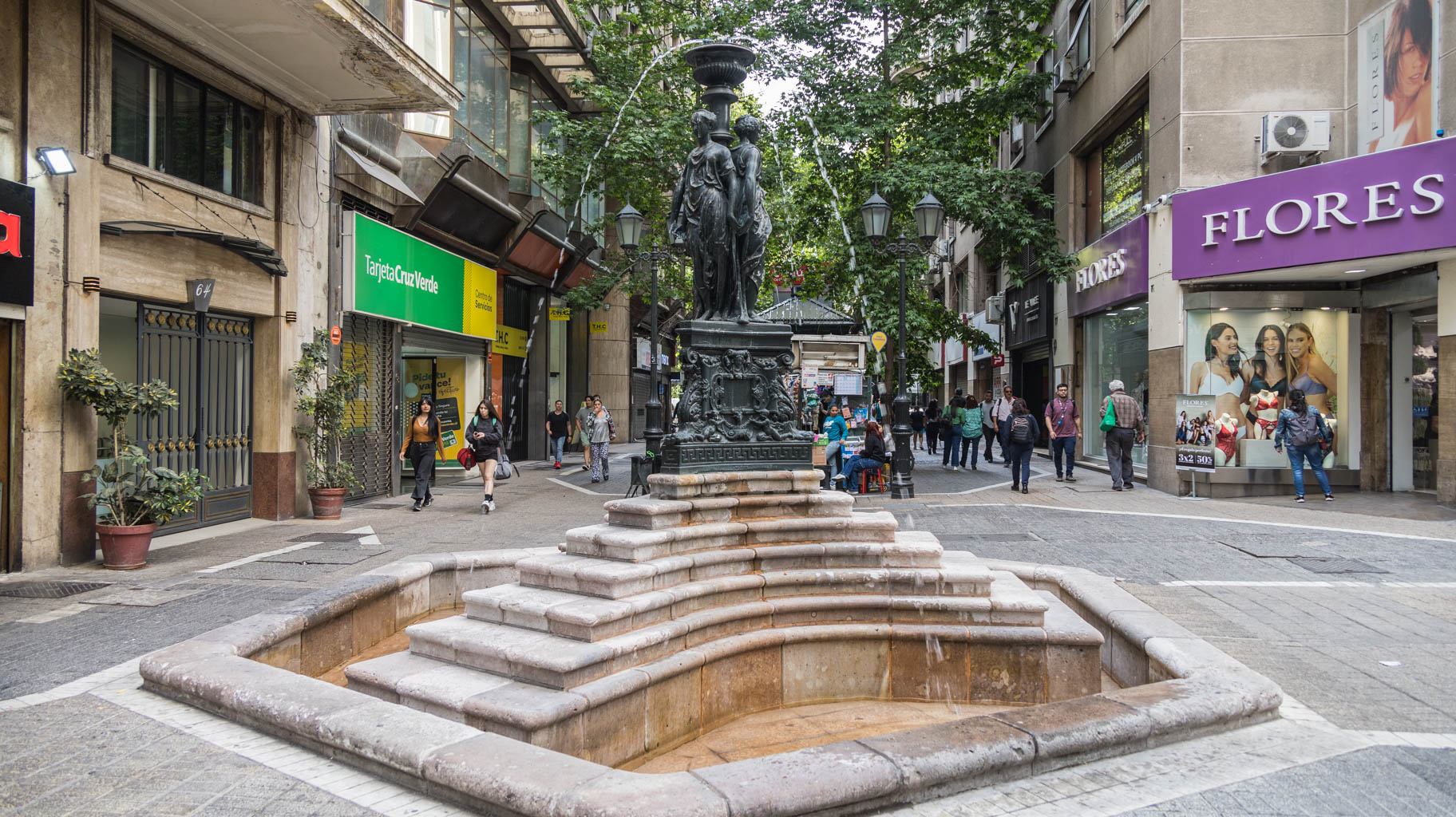
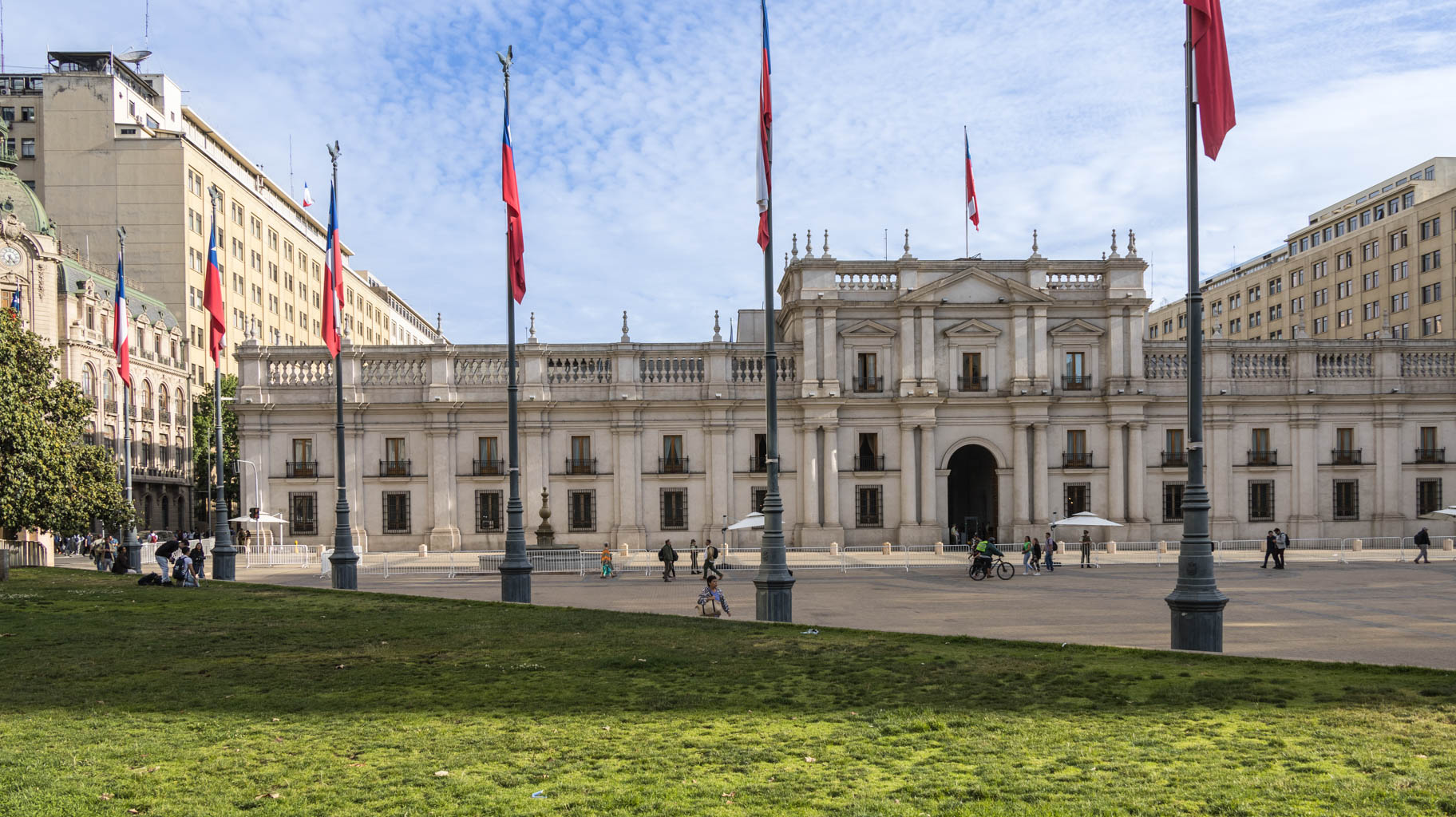
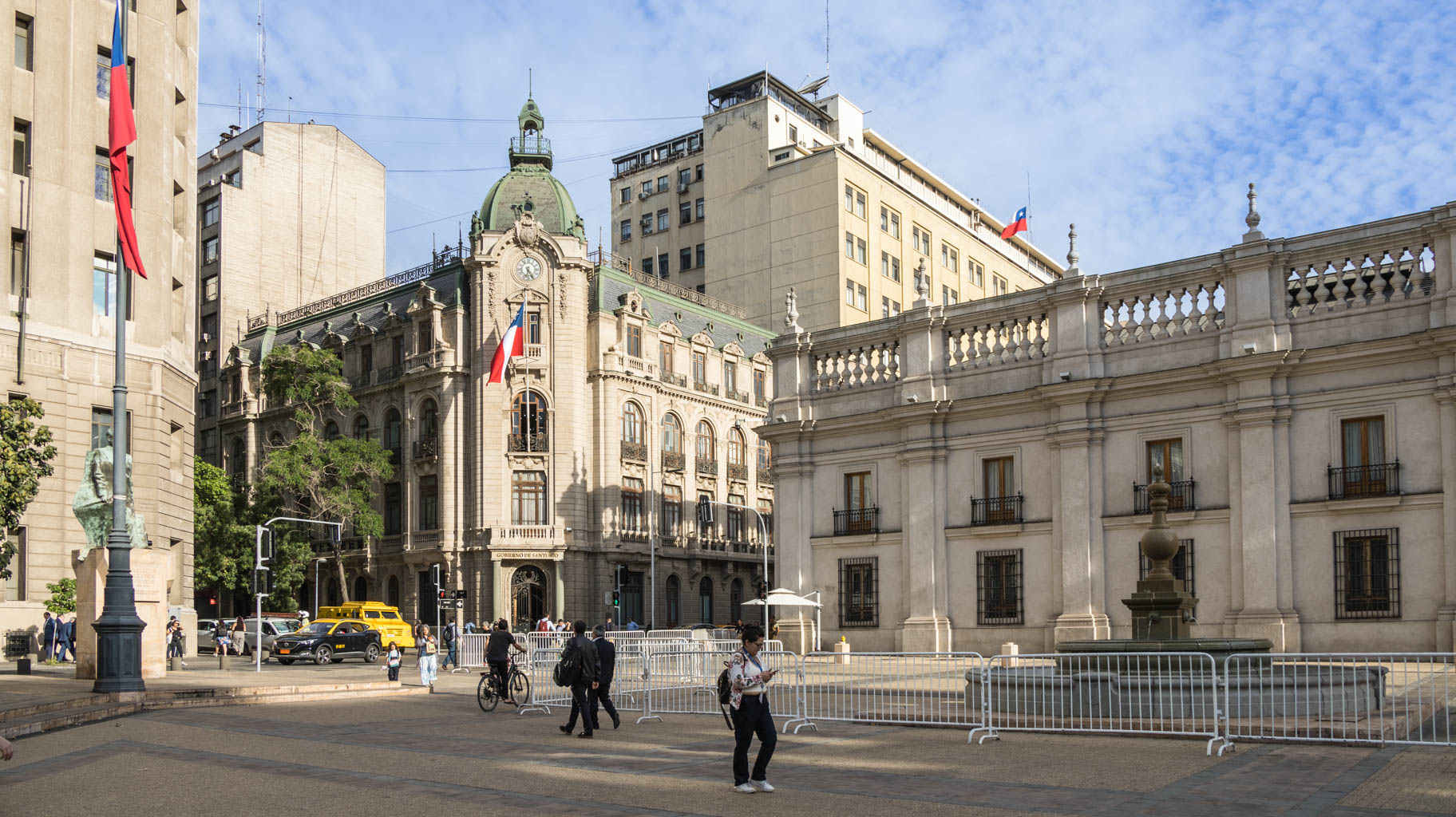
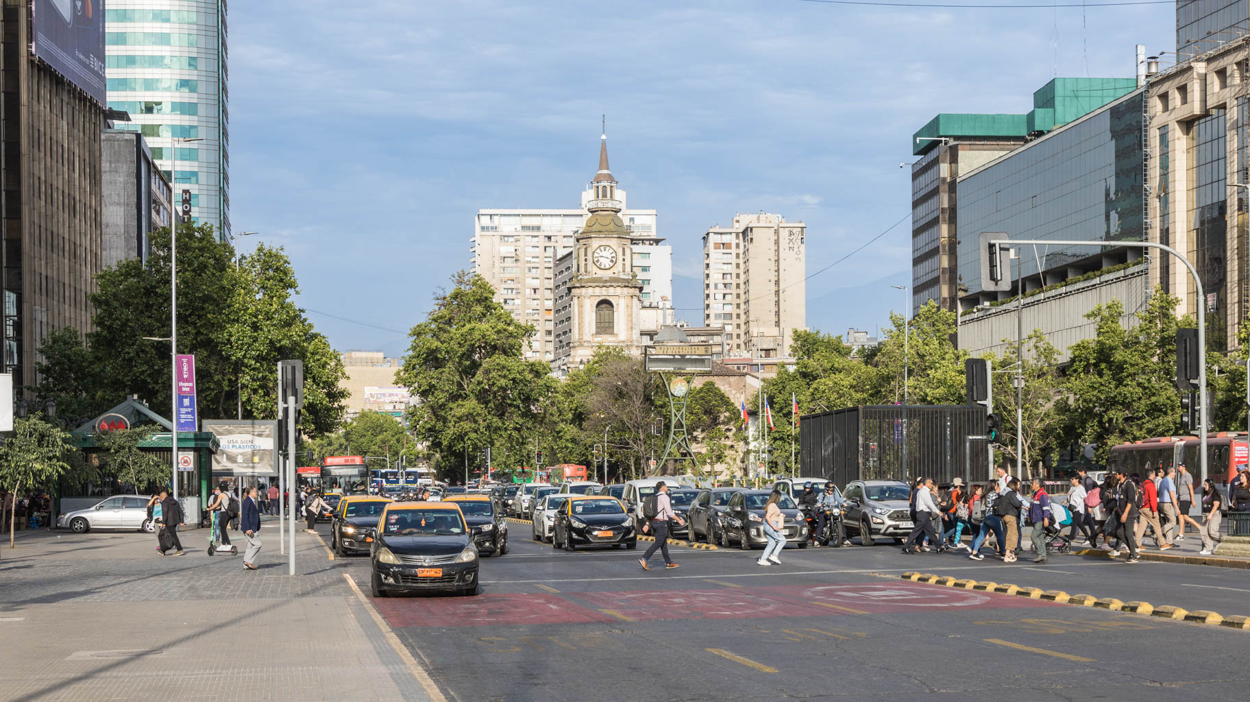
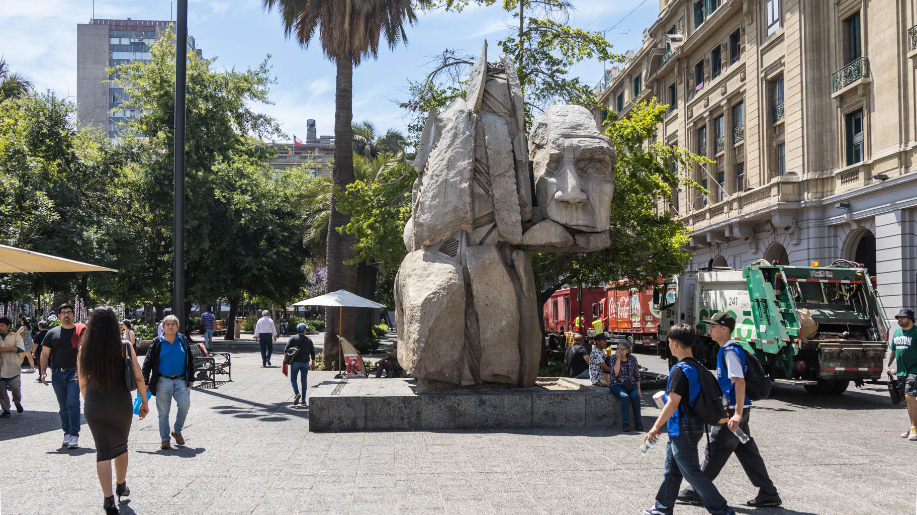
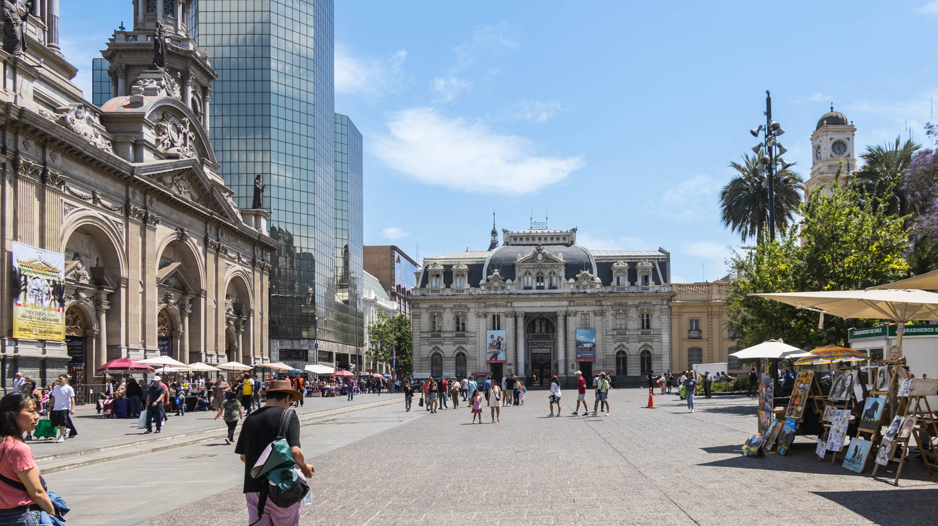
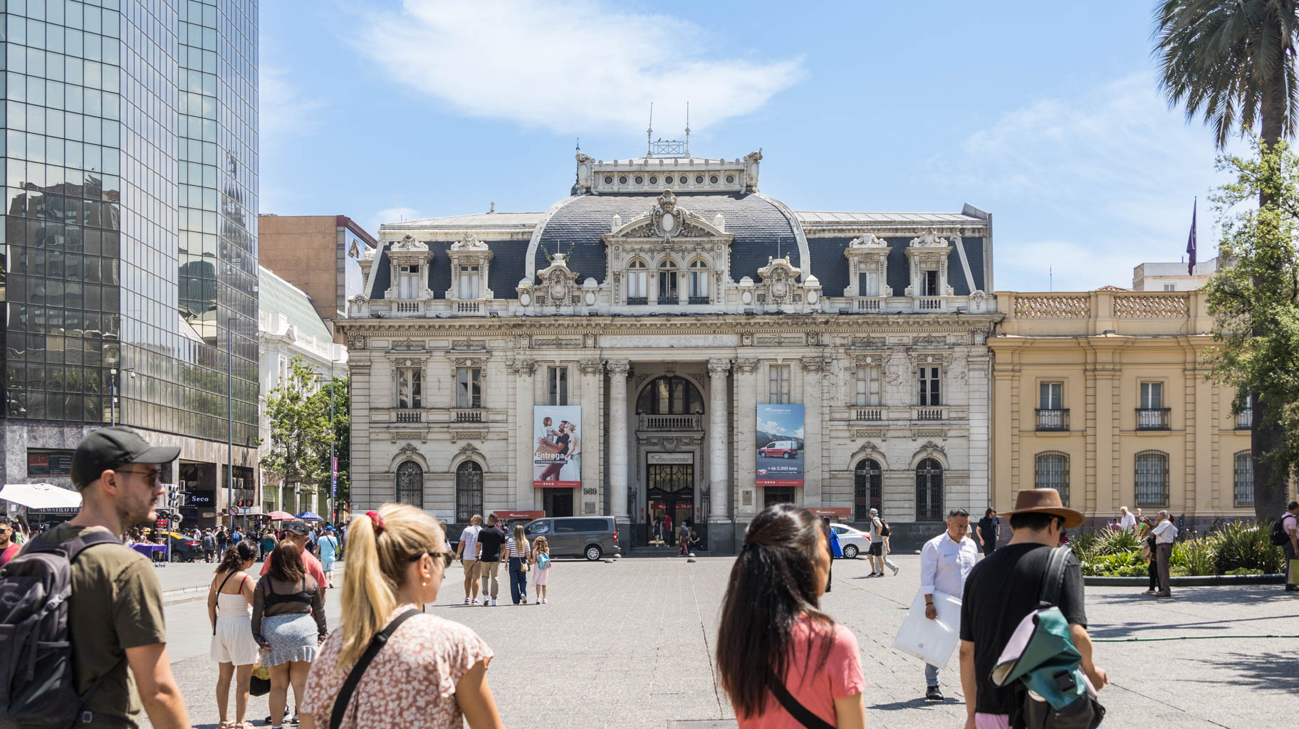
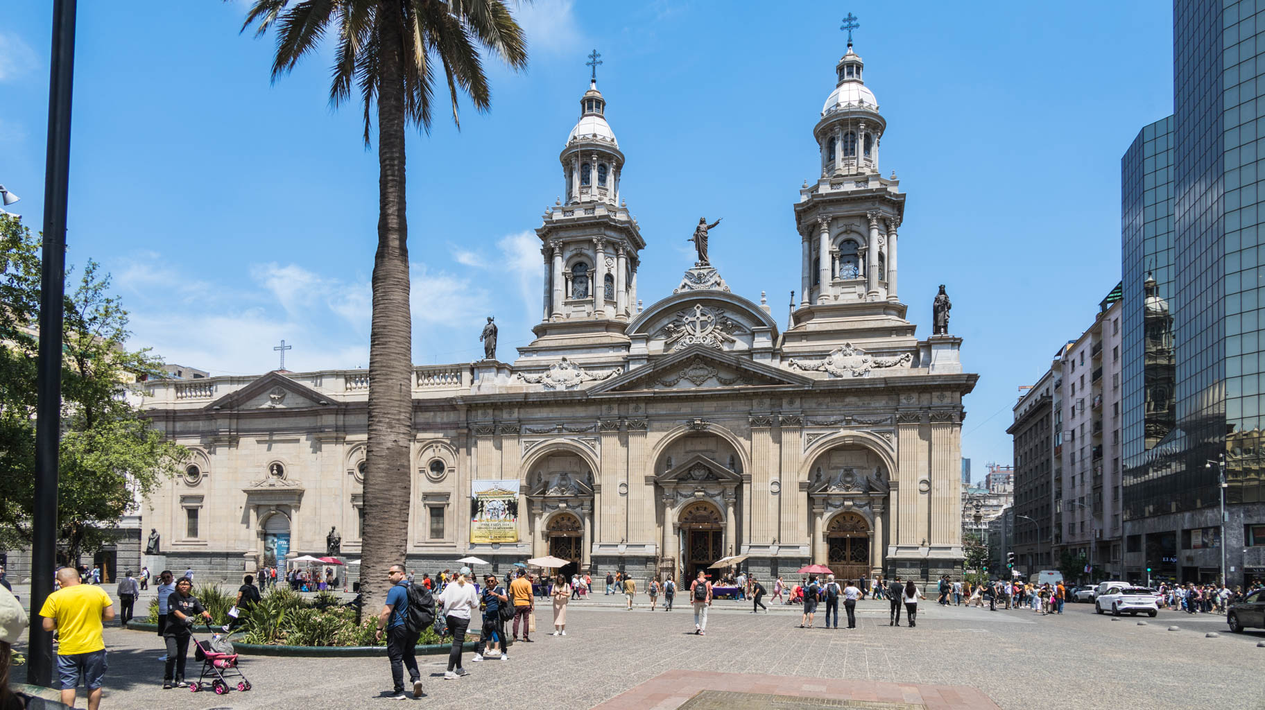
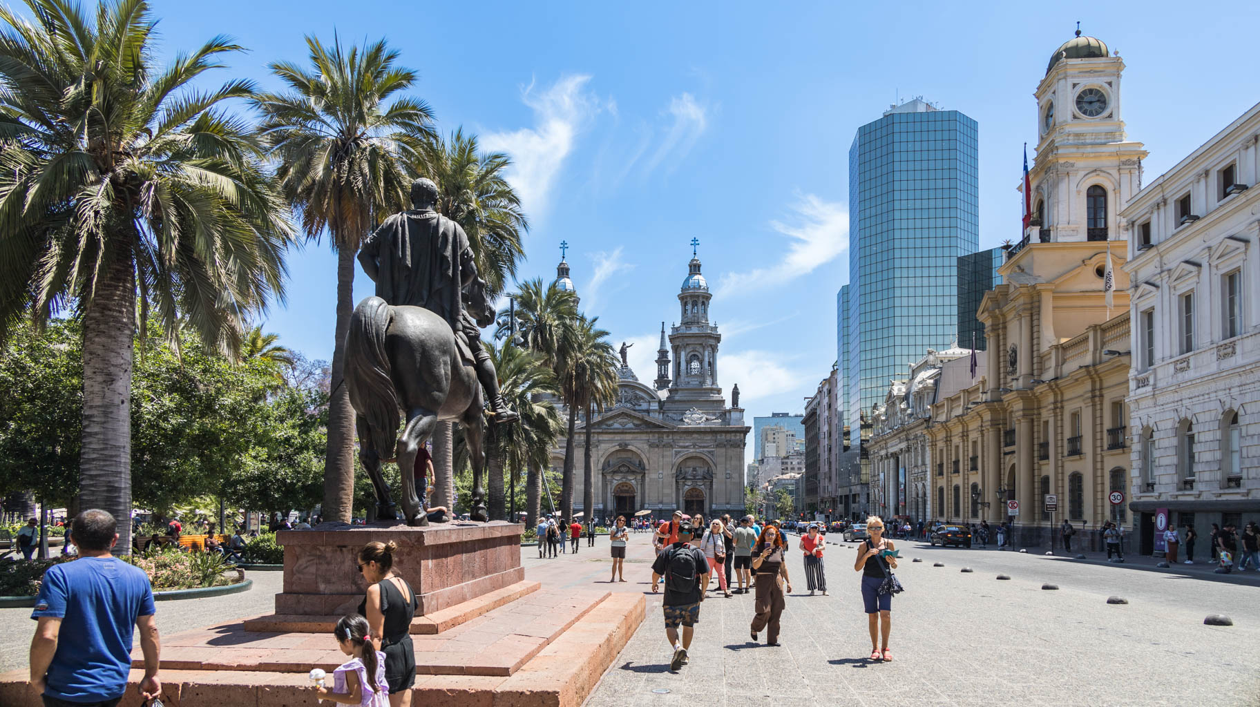
We continue to the Presidential Palace La Moneda, then to the Parliament building, and later to Plaza de Armas—the main square where the first buildings were constructed.
Nearby is the Lastarria district, known for its artists, cafés, and good restaurants. One surprising thing is the lack of cultural identity among Chileans, which is also reflected in the cuisine. There aren’t many local dishes—food is a mix of European, American, and neighboring countries' cuisines.
Today, the Chilean government is making significant efforts to educate and raise awareness about the many ethnic groups living in the country and to teach about their history and culture.
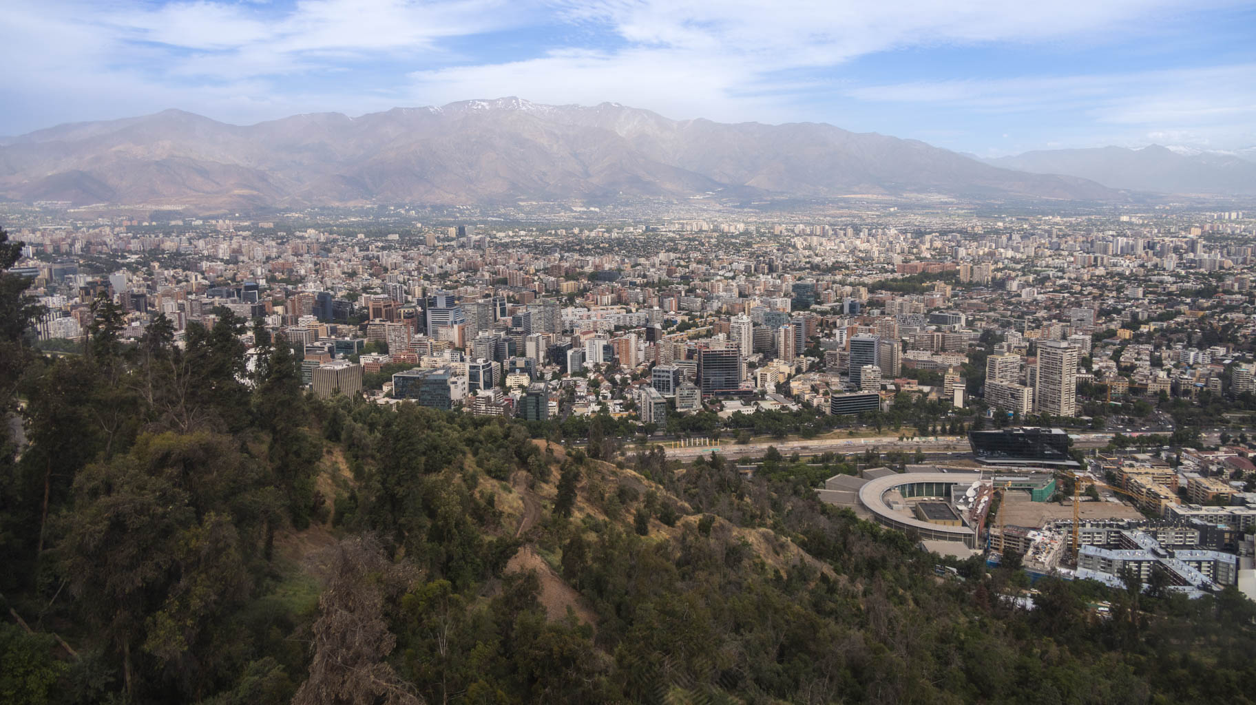
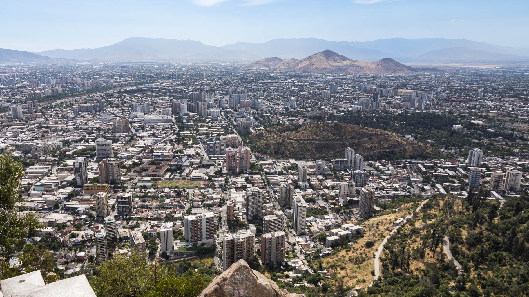
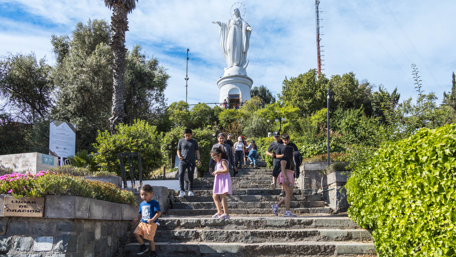
From the city center, we head to San Cristobal Hill. You can reach the top by funicular from two sides ($5 round trip), walk up, which takes about an hour each way, or cycle—bikes can be rented via a special app with preconfigured payment.
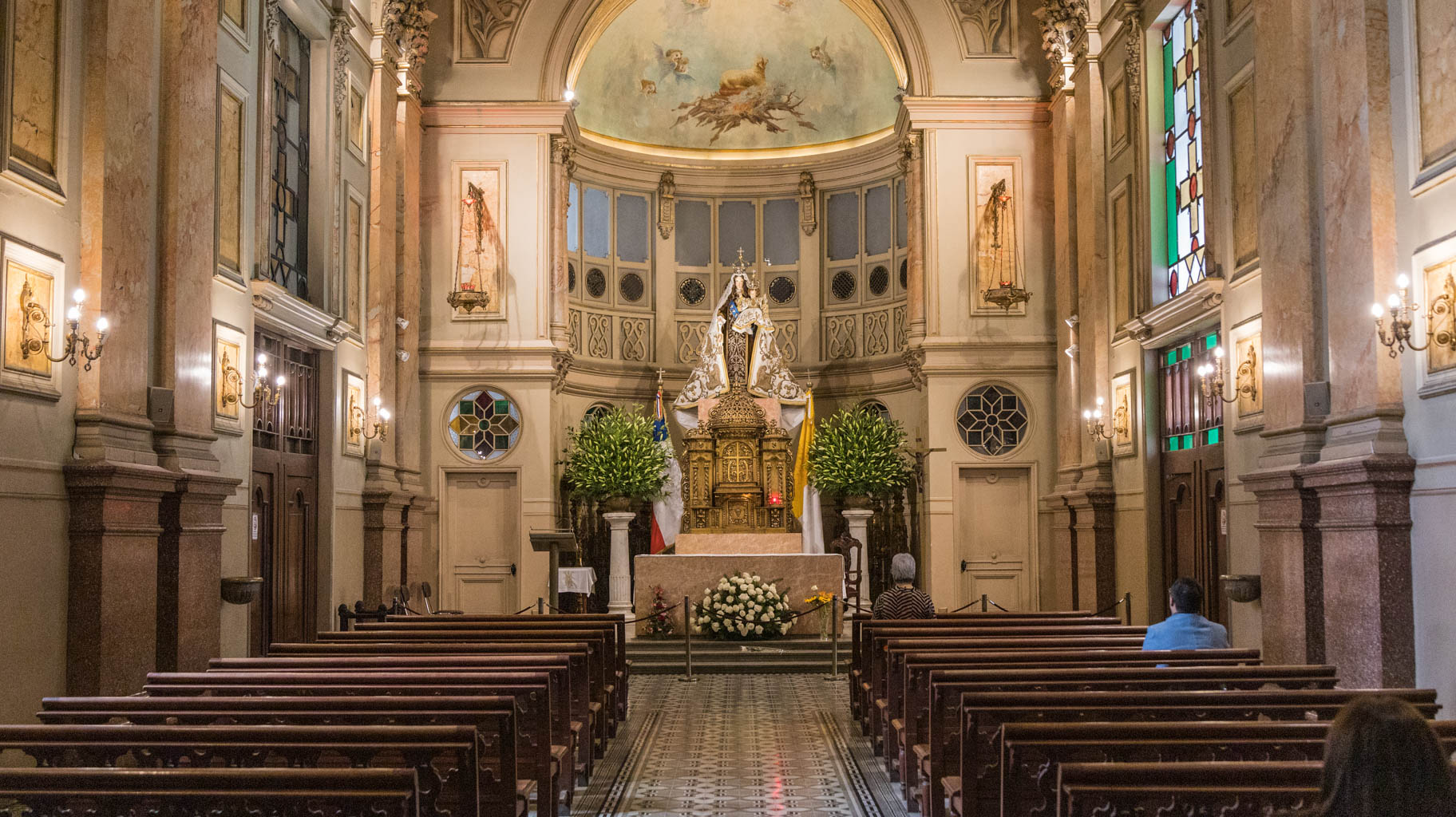
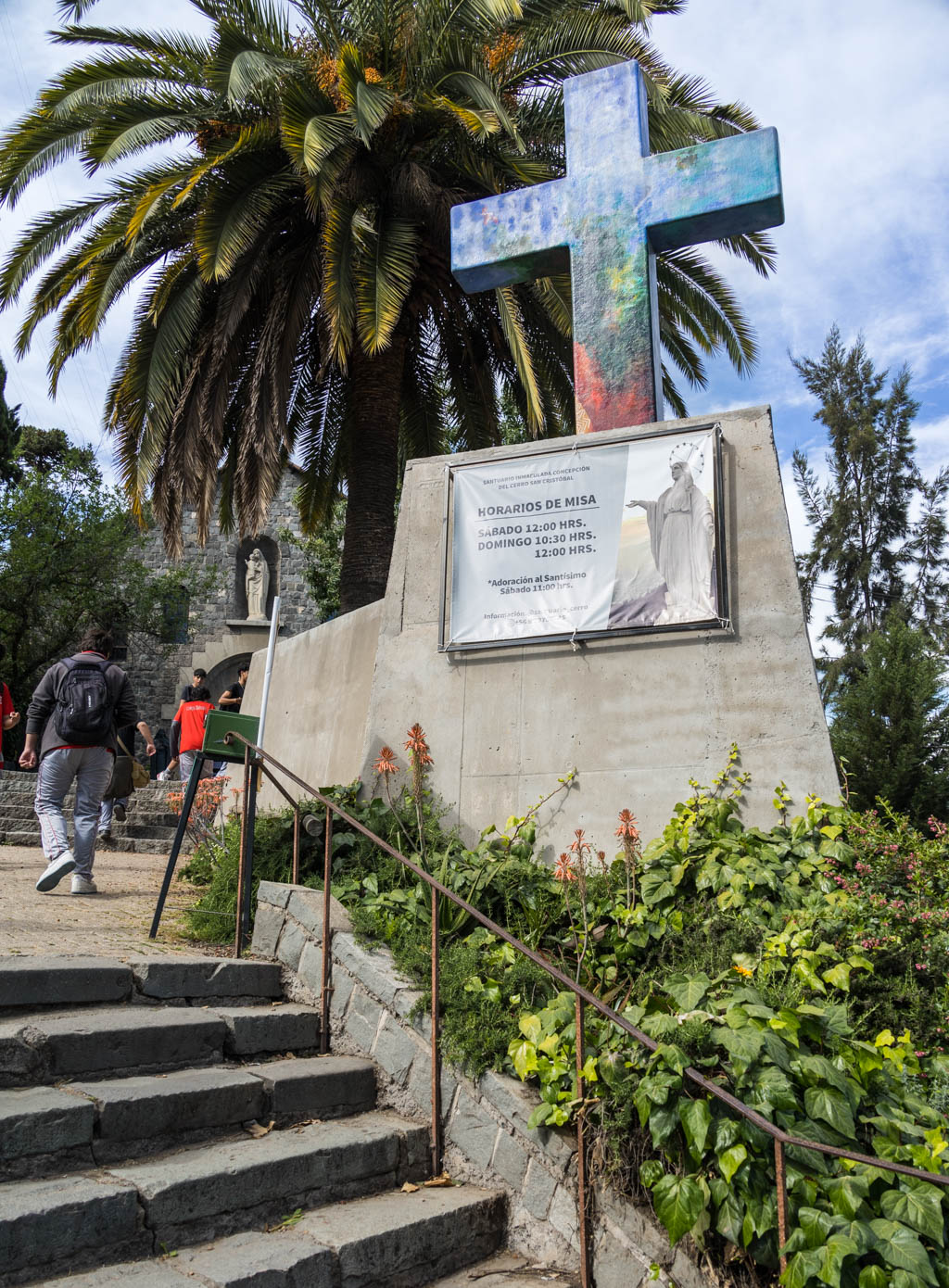
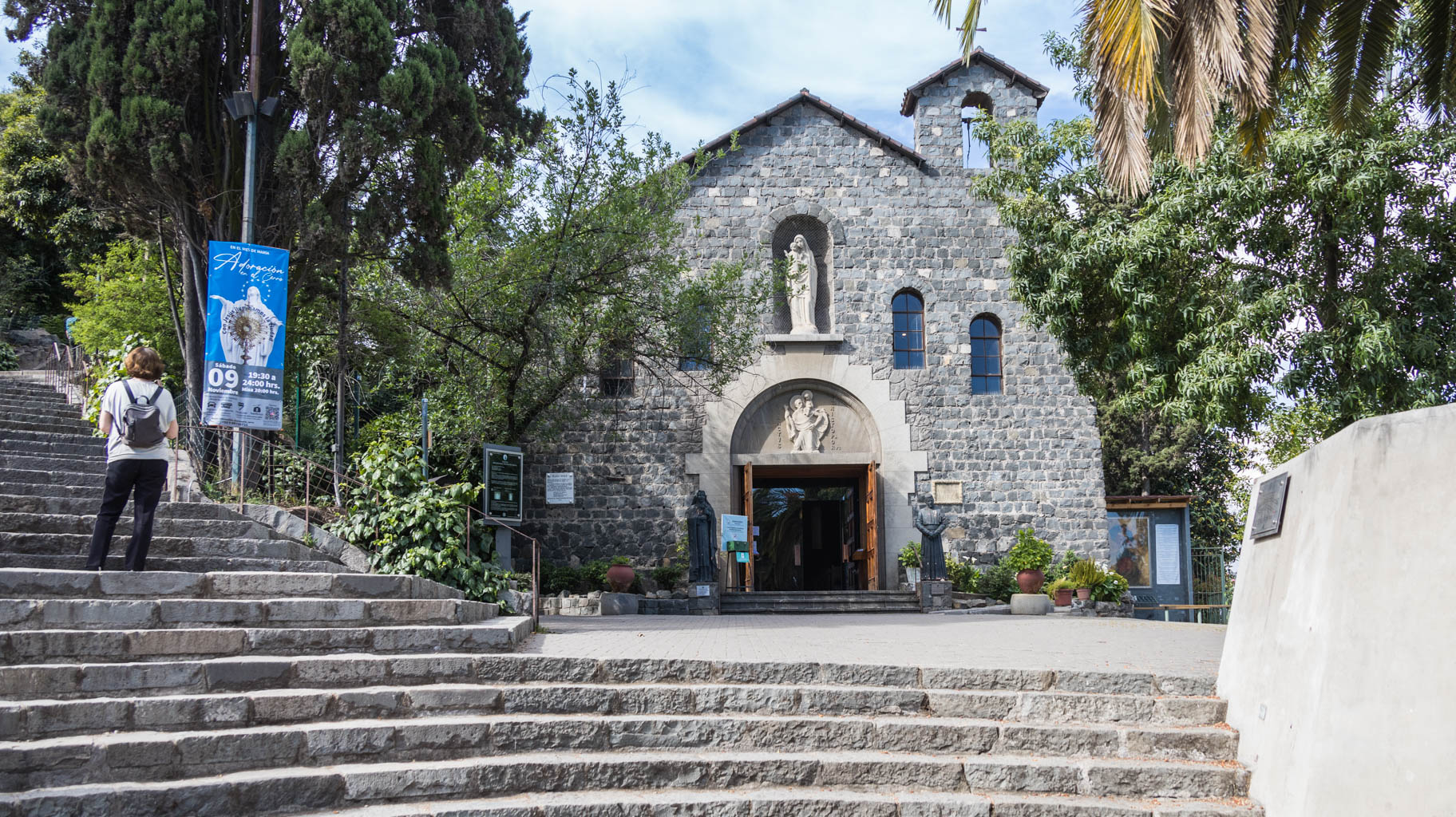
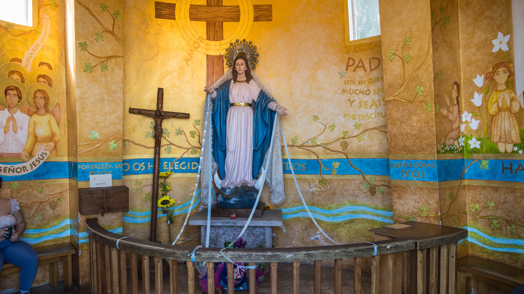
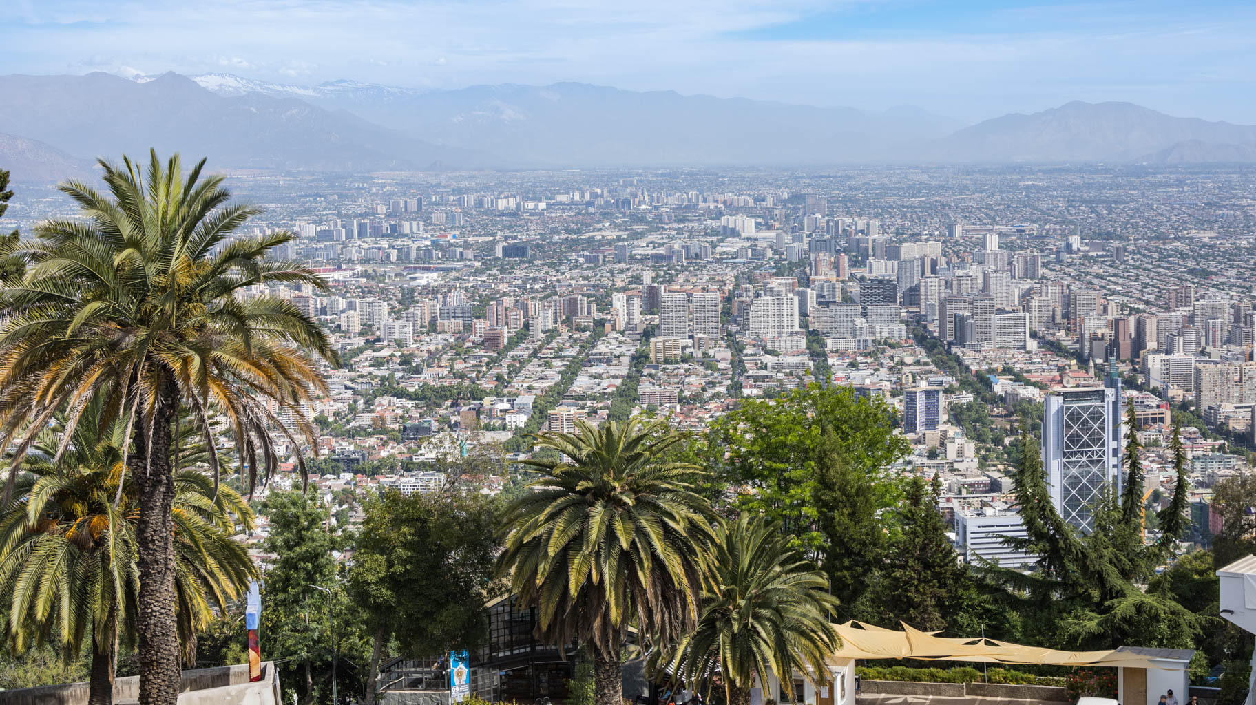
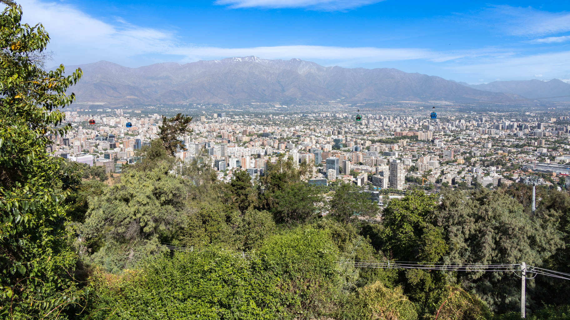
At the top is the Sanctuary of the Virgin Mary, and a bit further an astronomical observatory and a power plant. The summit offers panoramic views of the Chilean Andes (you can see several six-thousand-meter peaks) and the whole city.
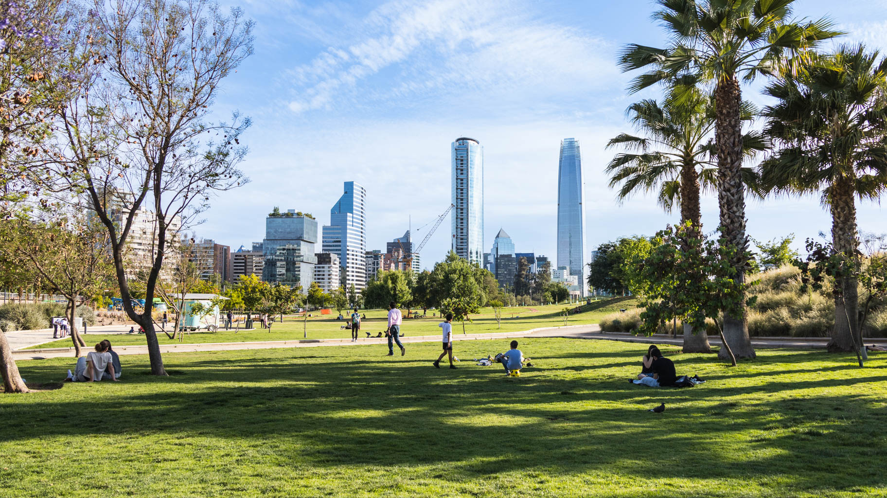
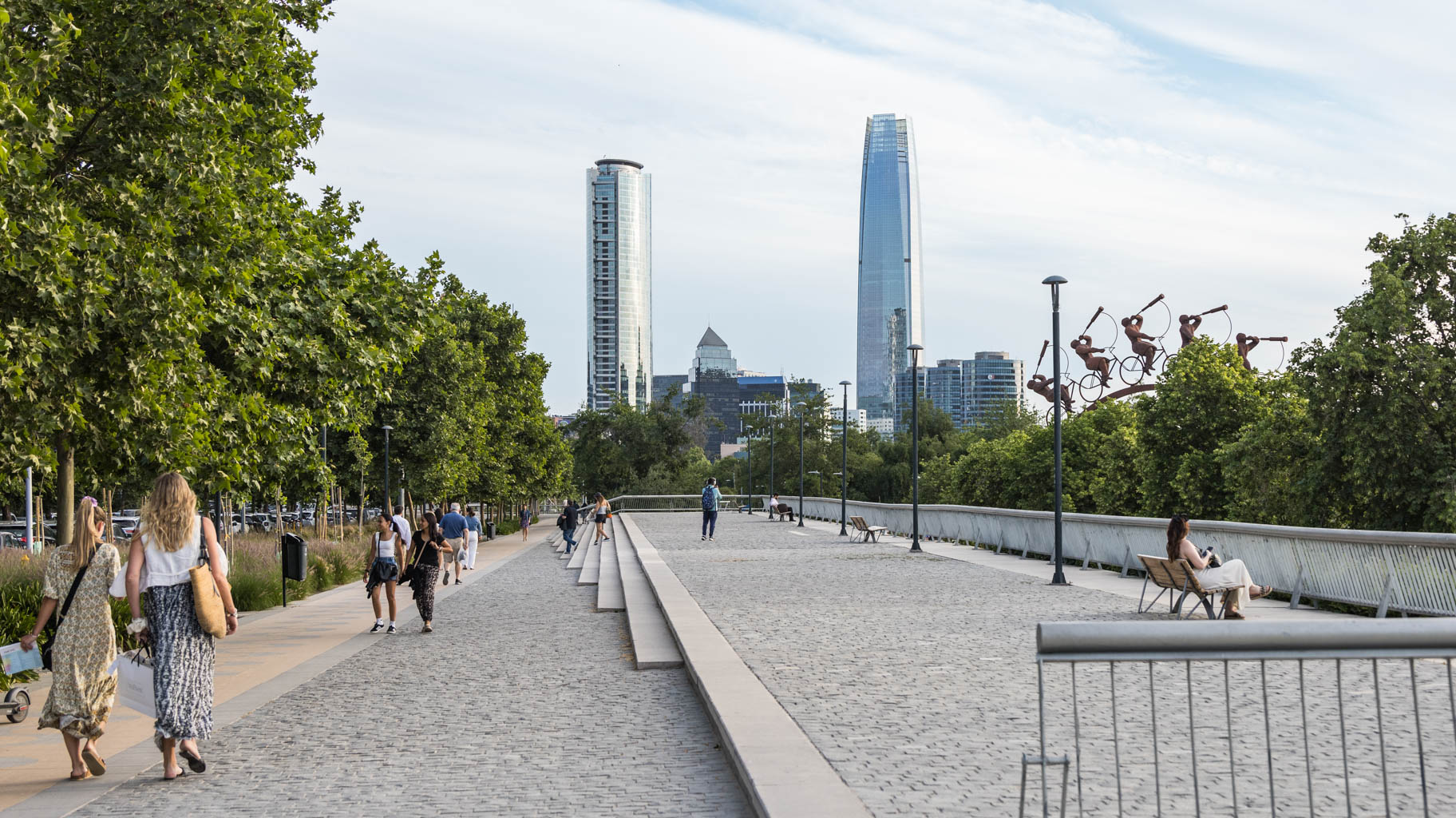
On the way down, we head to the nearby Bicentennial Park (Parque Bicentenario), where you can walk or lie on the grass and admire the skyscrapers.
We leave for the airport at seven in the morning to arrive before eight, giving us almost an hour and a half before our flight to Rapa Nui, also known as Easter Island.
In addition to passport control, you also have to present a receipt confirming the submission of the entry form. Although the lines are fairly long, the control process goes quite smoothly.
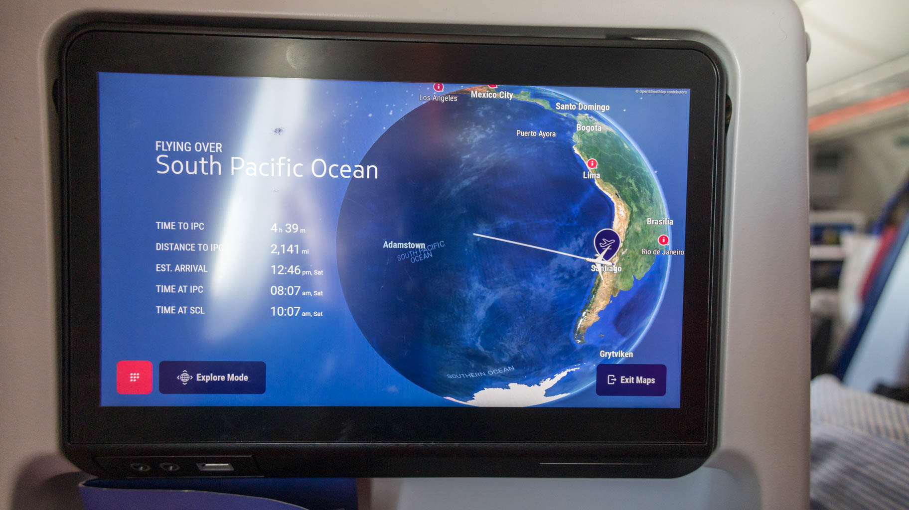
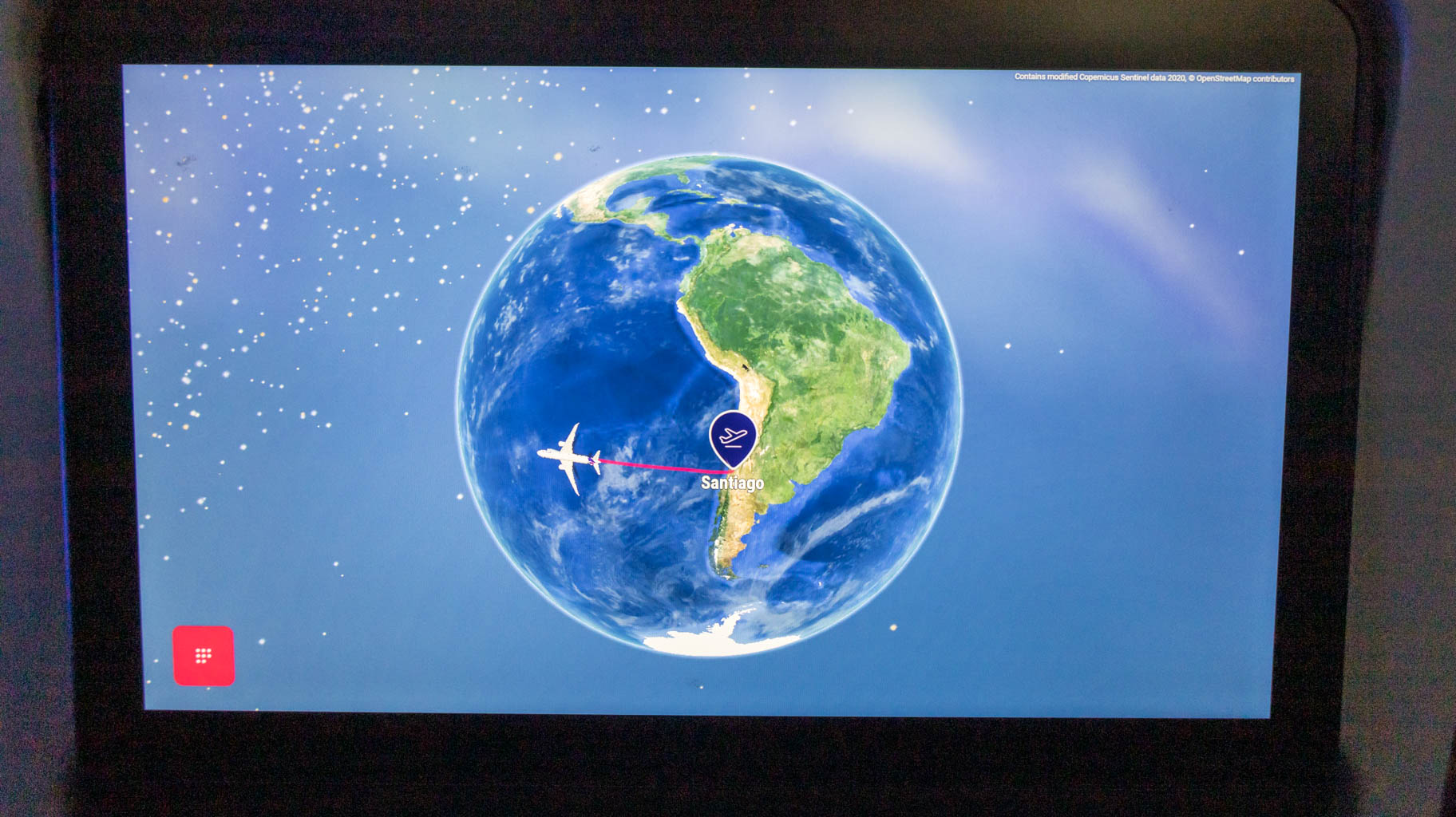
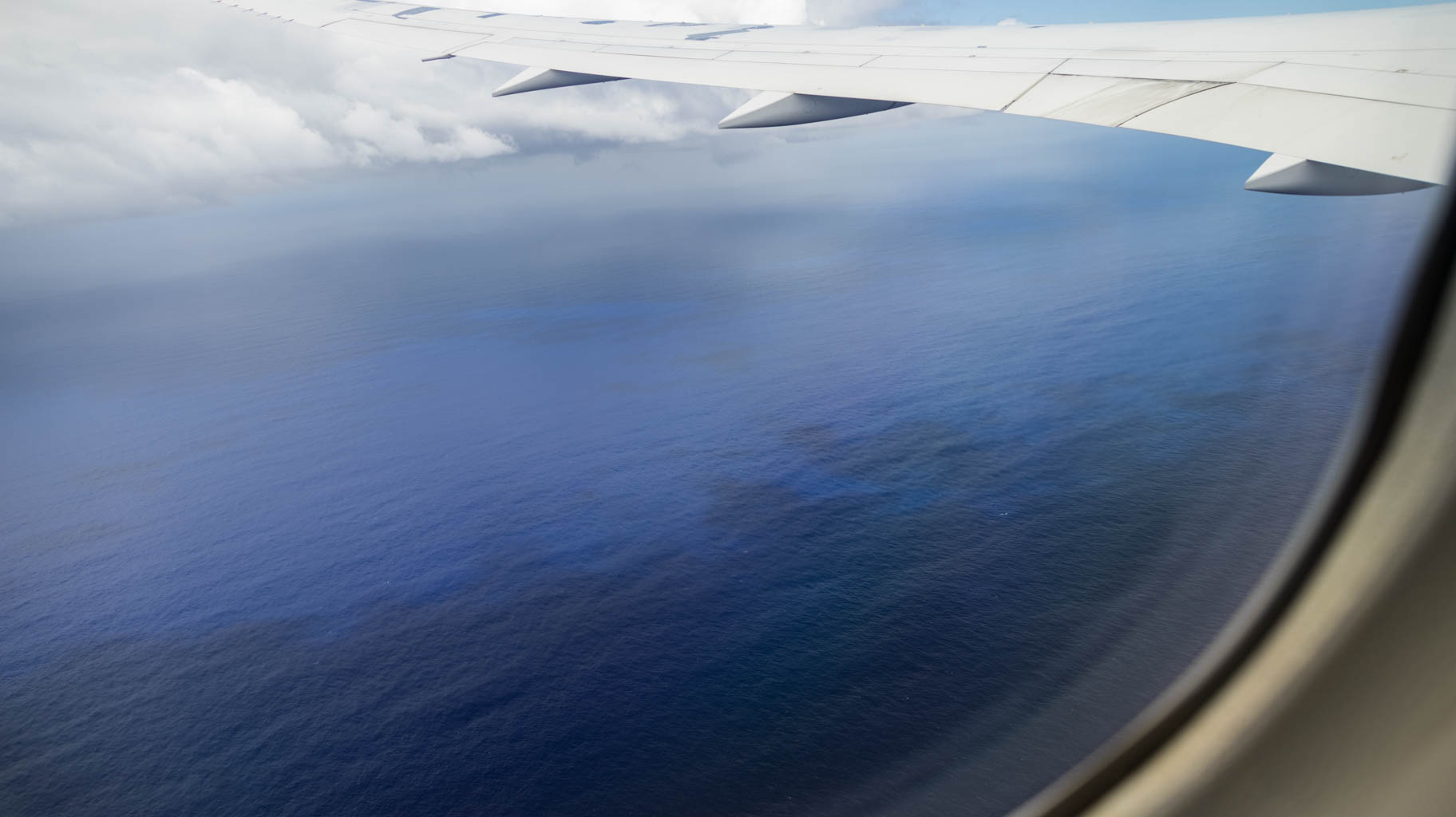
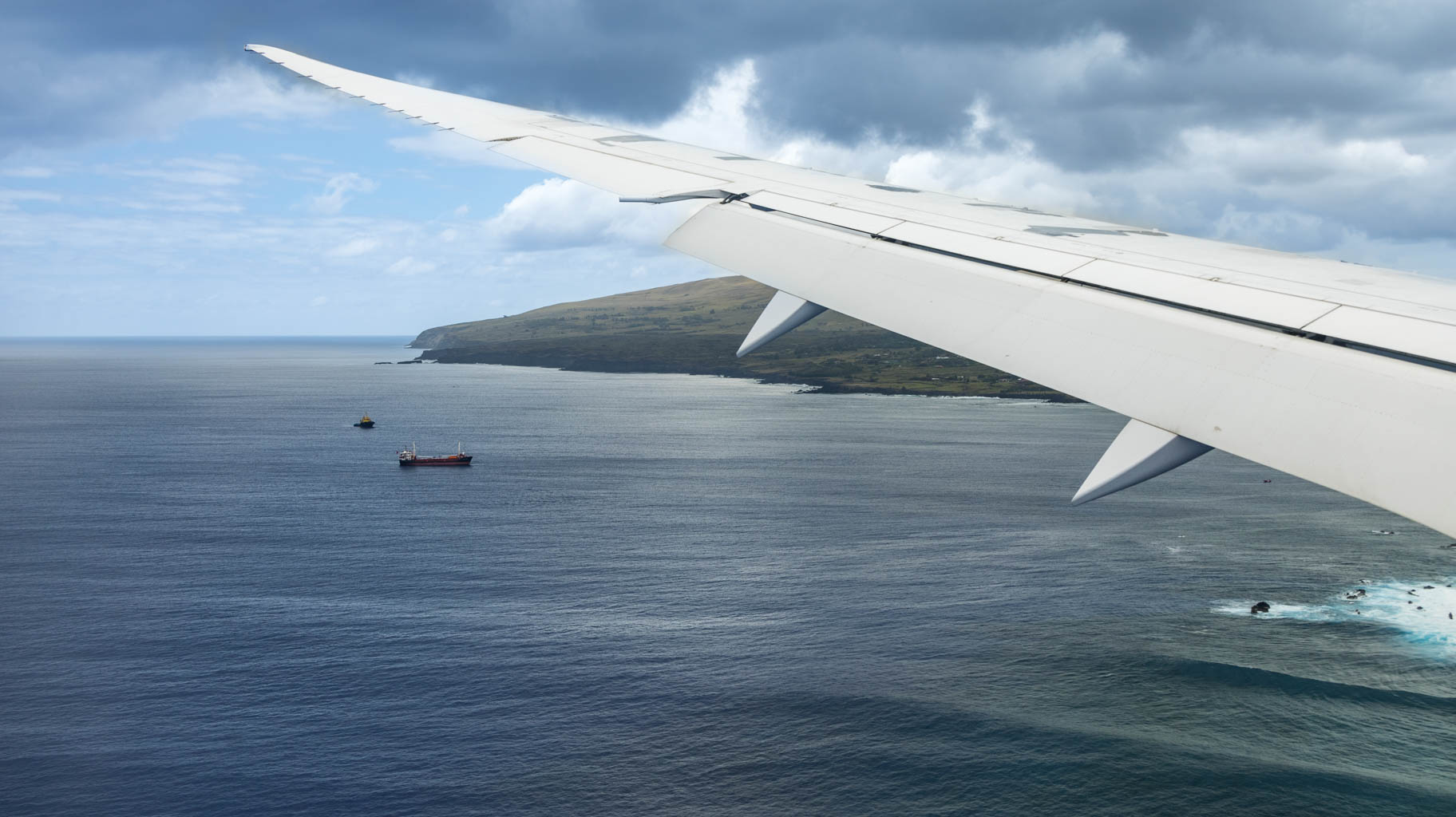
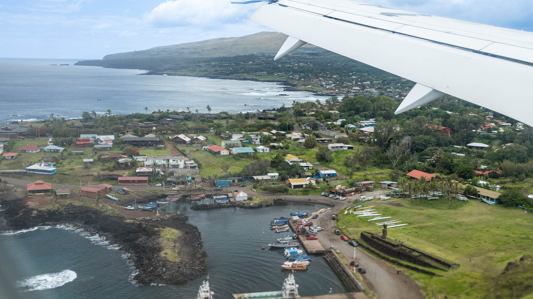
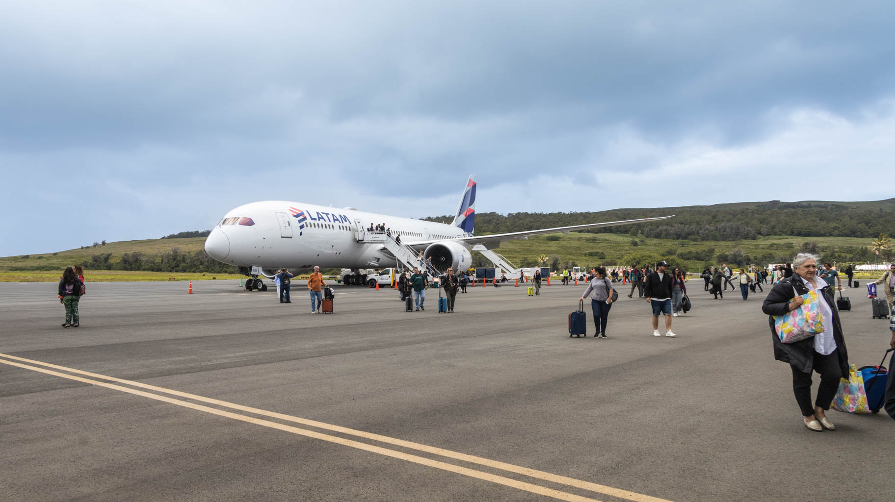
Now we just have to sit through a five-hour flight, as that's how long it takes to reach Easter Island, located four thousand kilometers away. It's a small island, where the longest distance from one end to the other is around twenty kilometers.
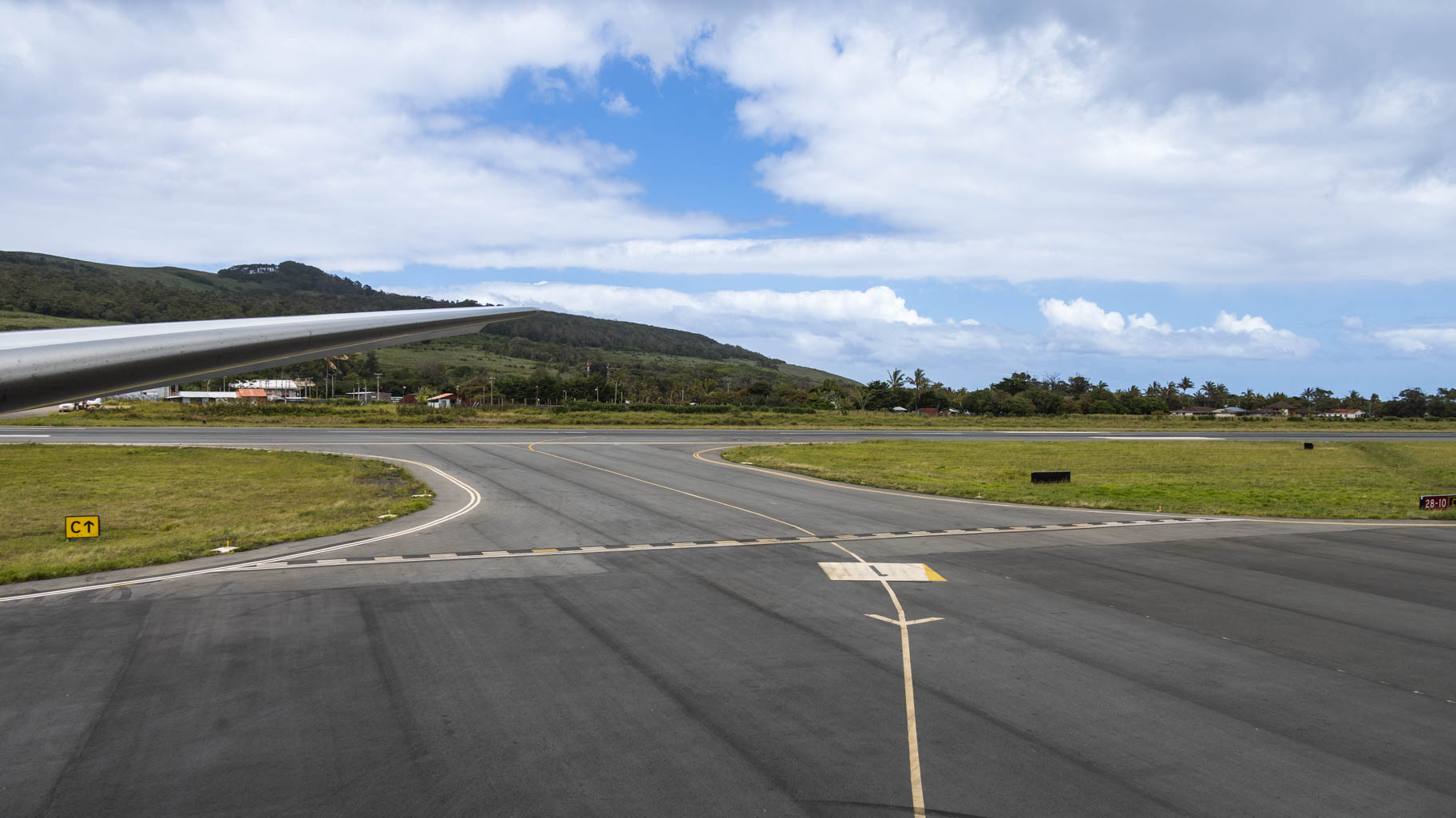
We land around 3 PM, and there’s a two-hour time difference between continental Chile and the island.
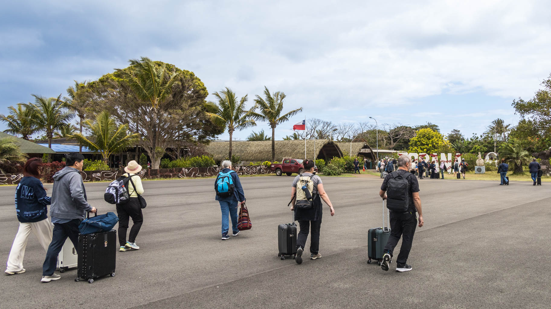
We quickly collect our luggage, although one of our friends—apparently looking a bit suspicious—is checked to see if he’s bringing in honey or agricultural products.
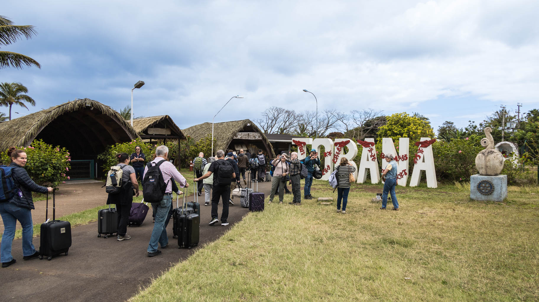
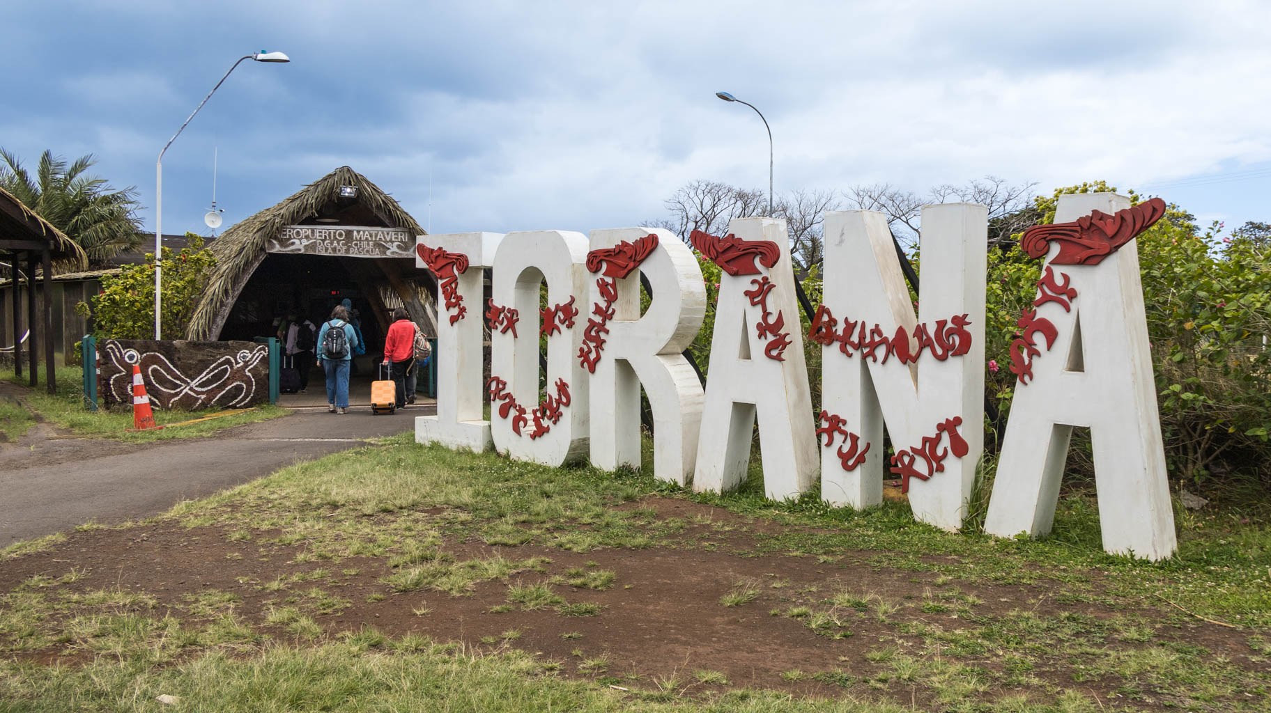
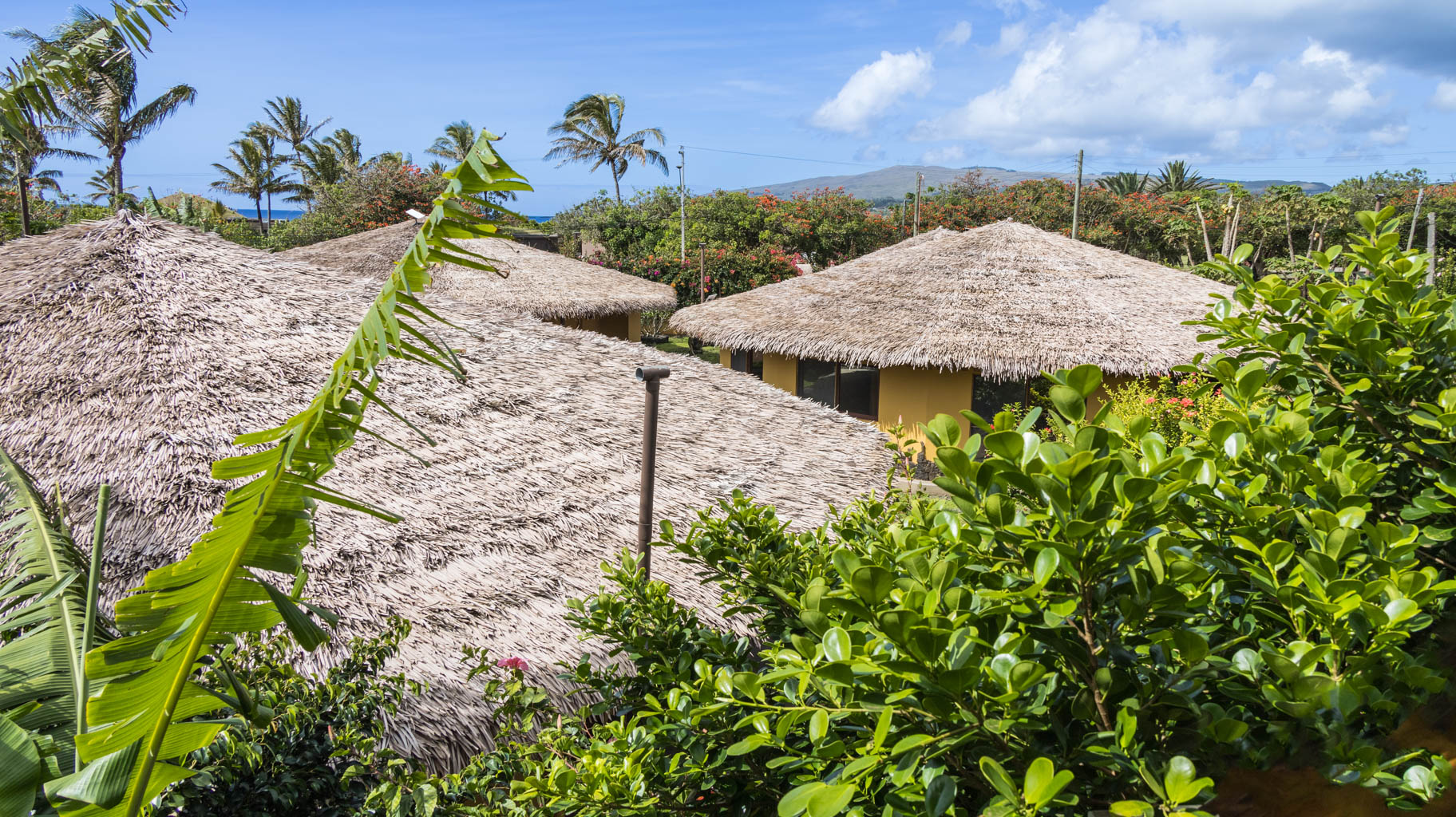
Outside, someone from our guesthouse is already waiting to greet us with flower garlands.
After about a fifteen-minute drive and a quick loop through the island’s only town, we arrive at our apartment. Following a short break, we head to a nearby bike rental shop and rent bikes for three days at $20 per person per day. This will be our main mode of transport on the island.
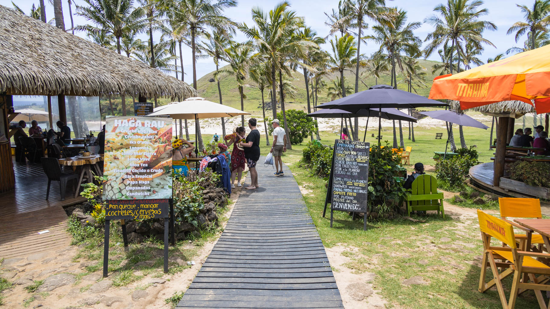
The next place we visit is a local food truck, where the three of us can each fill up on a generous lunch box for $25. We hear from the locals that prices on the island are comparable to those on the mainland, which our later visits to several shops confirm.
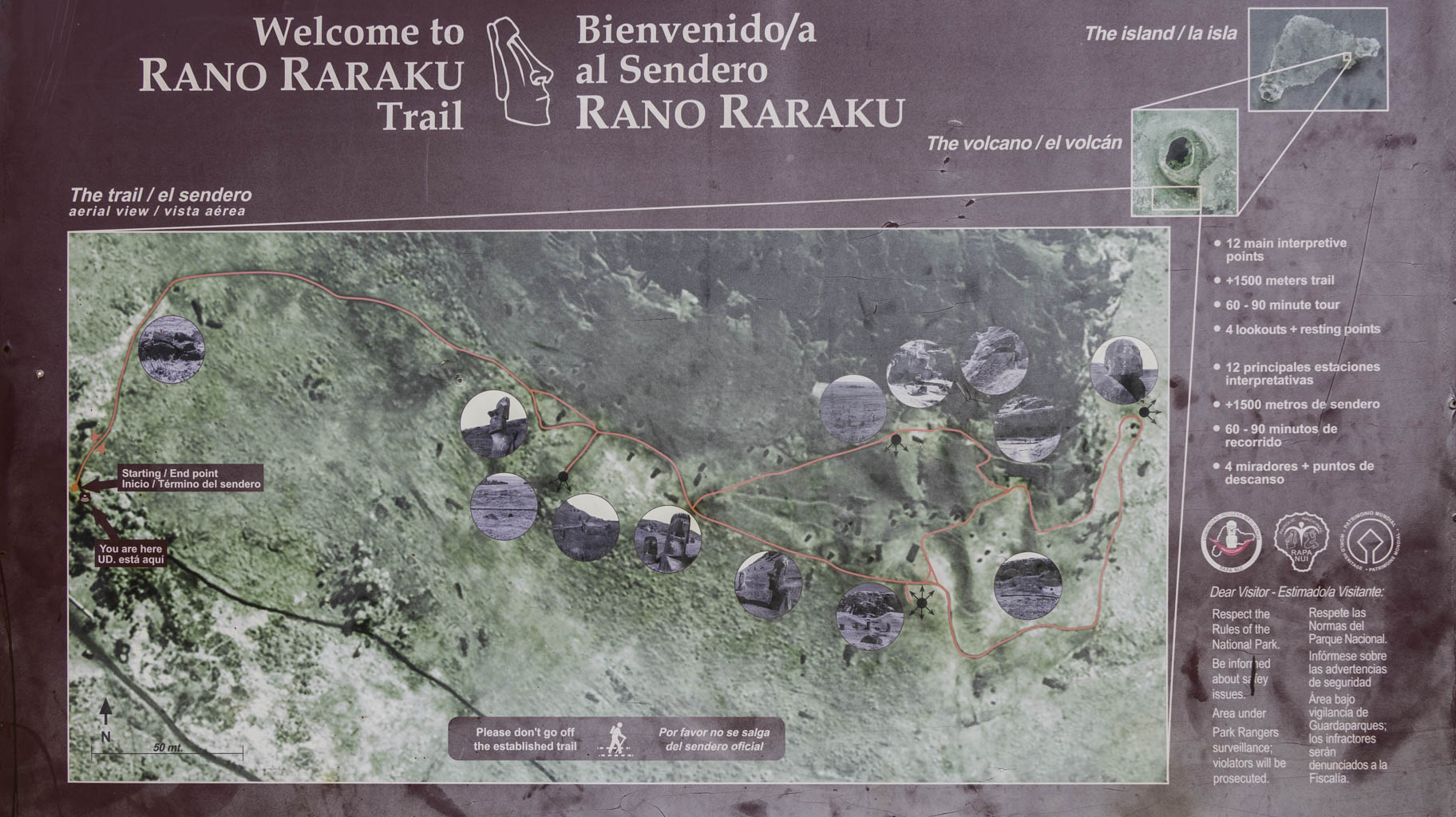
Later, we ride our bikes to Sernatur—the official tourist information office—where we learn which sites on the island are worth visiting, which can be accessed on our own, and which require a guide. Unfortunately, only a few attractions can be visited independently; the rest, which are strictly protected, require a guide. Hiring a guide at each site ends up being significantly more expensive than booking a full-day tour for $50, so we decide to book a tour through one of the nearby government-recommended agencies.
You can pay for bike rentals, groceries, accommodation, and tours using your phone or card, which is a pleasant surprise.
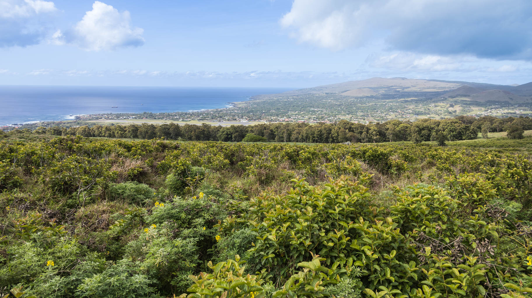
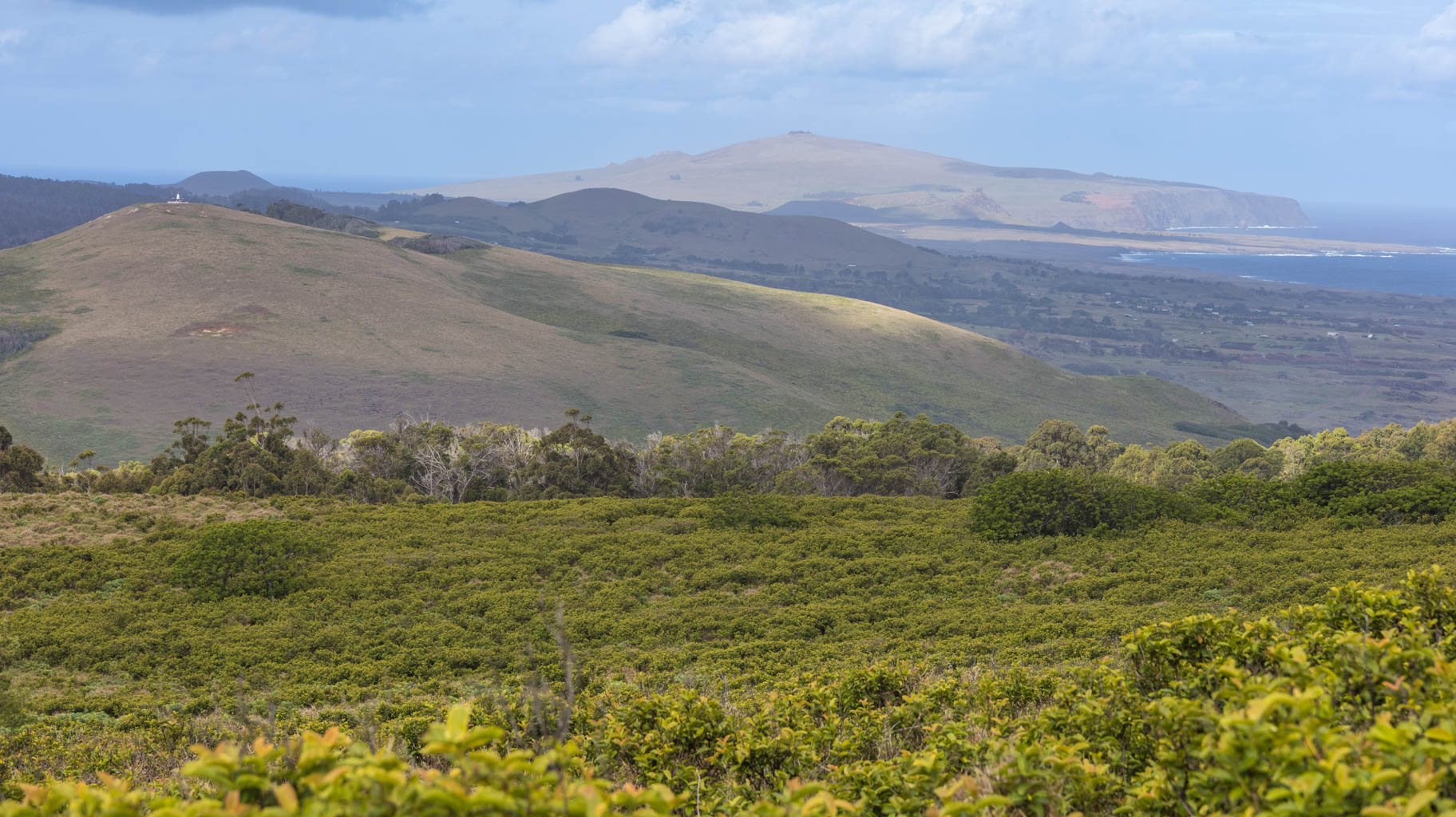
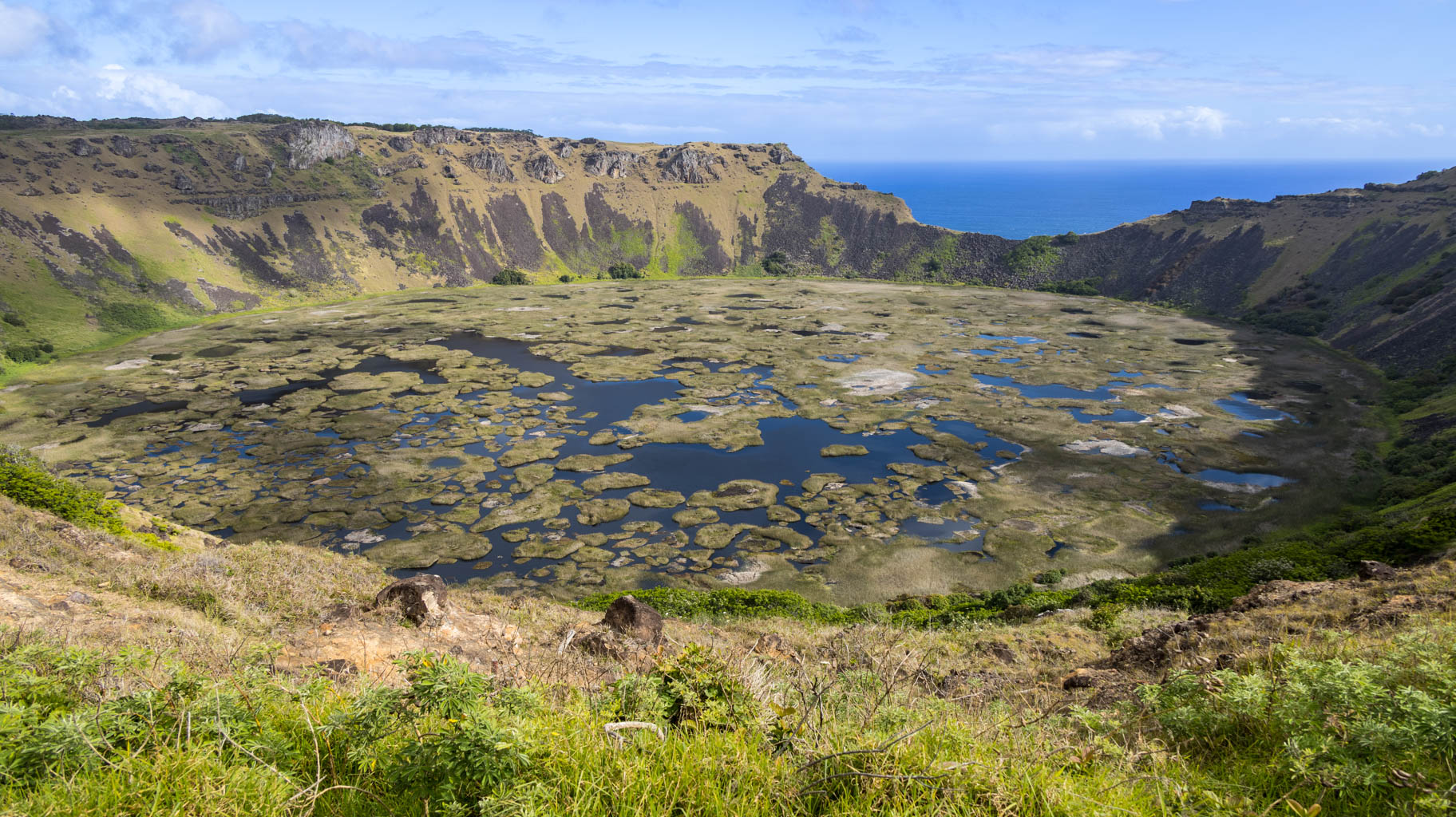
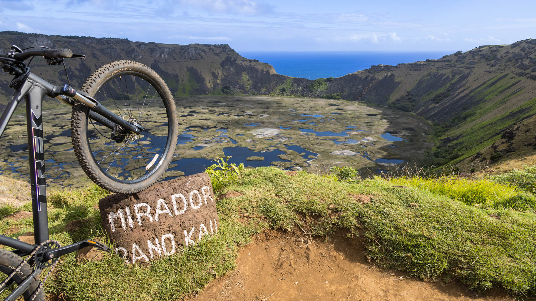
After booking the tour for tomorrow, we ride our bikes to a nearby volcano called Rano Kau. The ride requires some stamina, as you have to climb 300 meters in half an hour, but the views are absolutely worth it. At the top, you can see the entire volcanic crater and enjoy sweeping views of much of the island. Going back down takes just a few minutes.
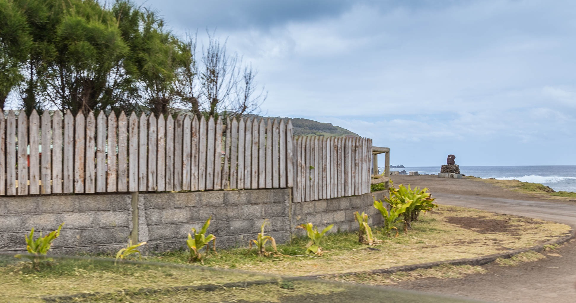
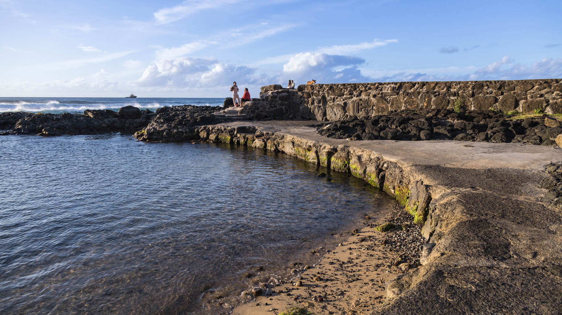
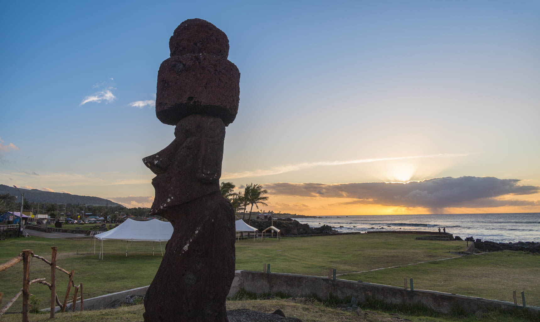
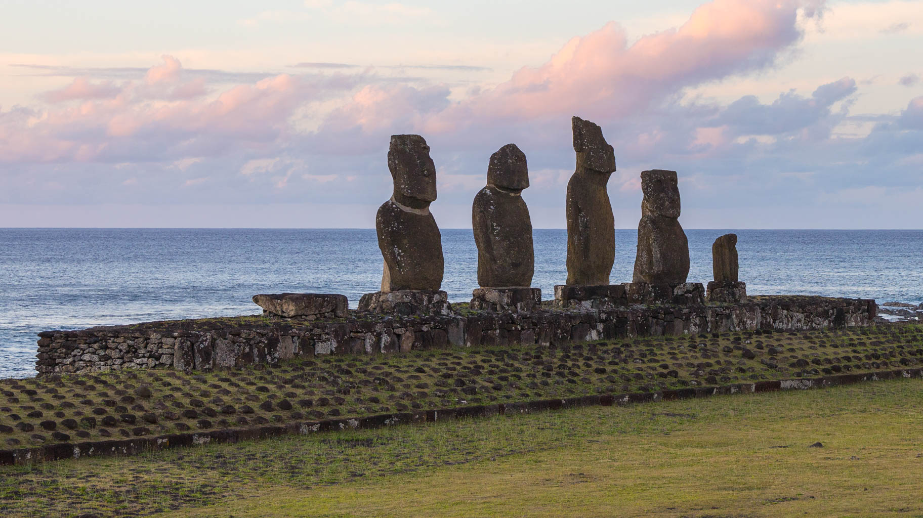
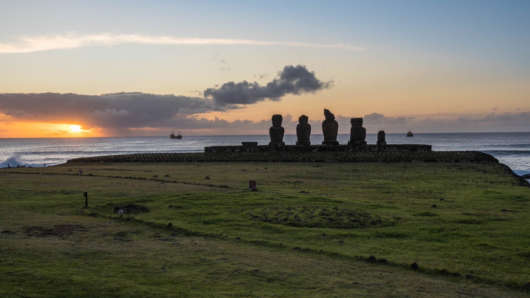
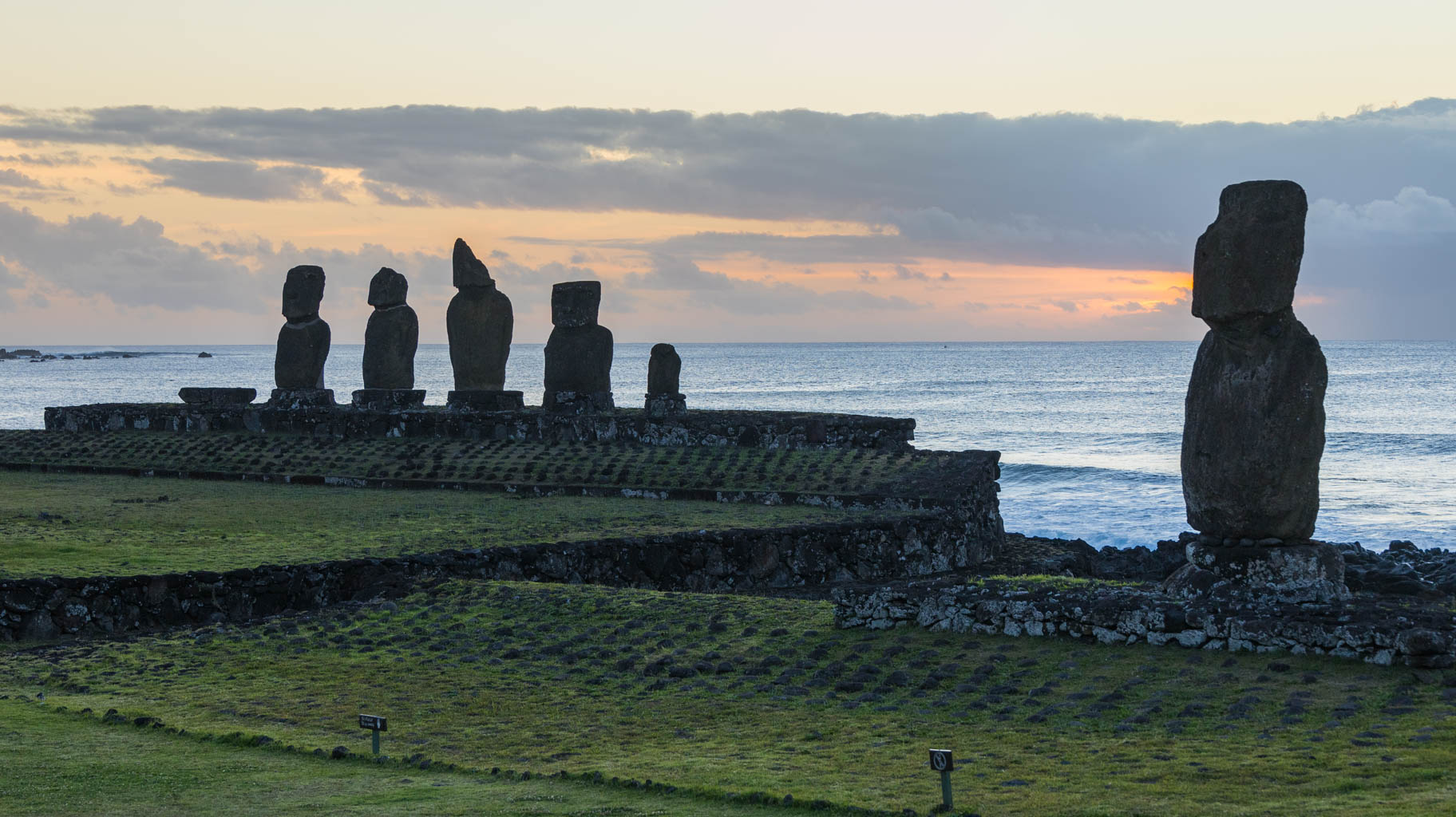
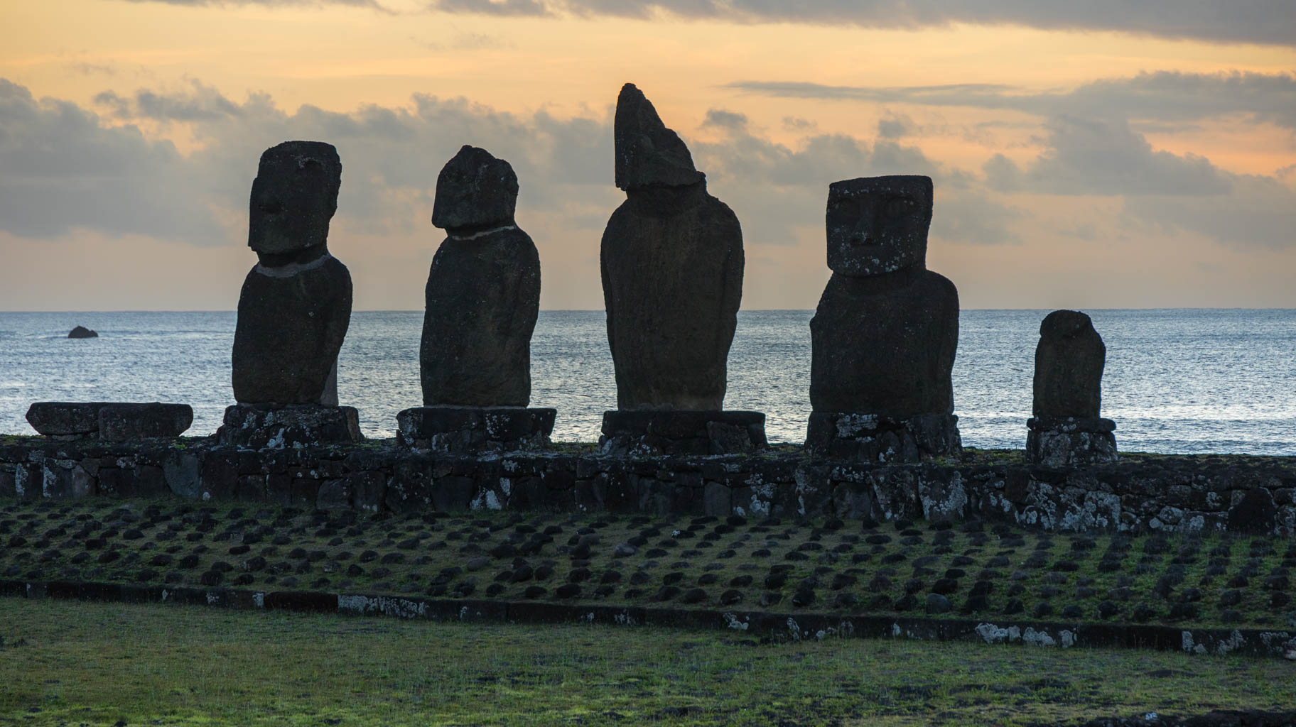
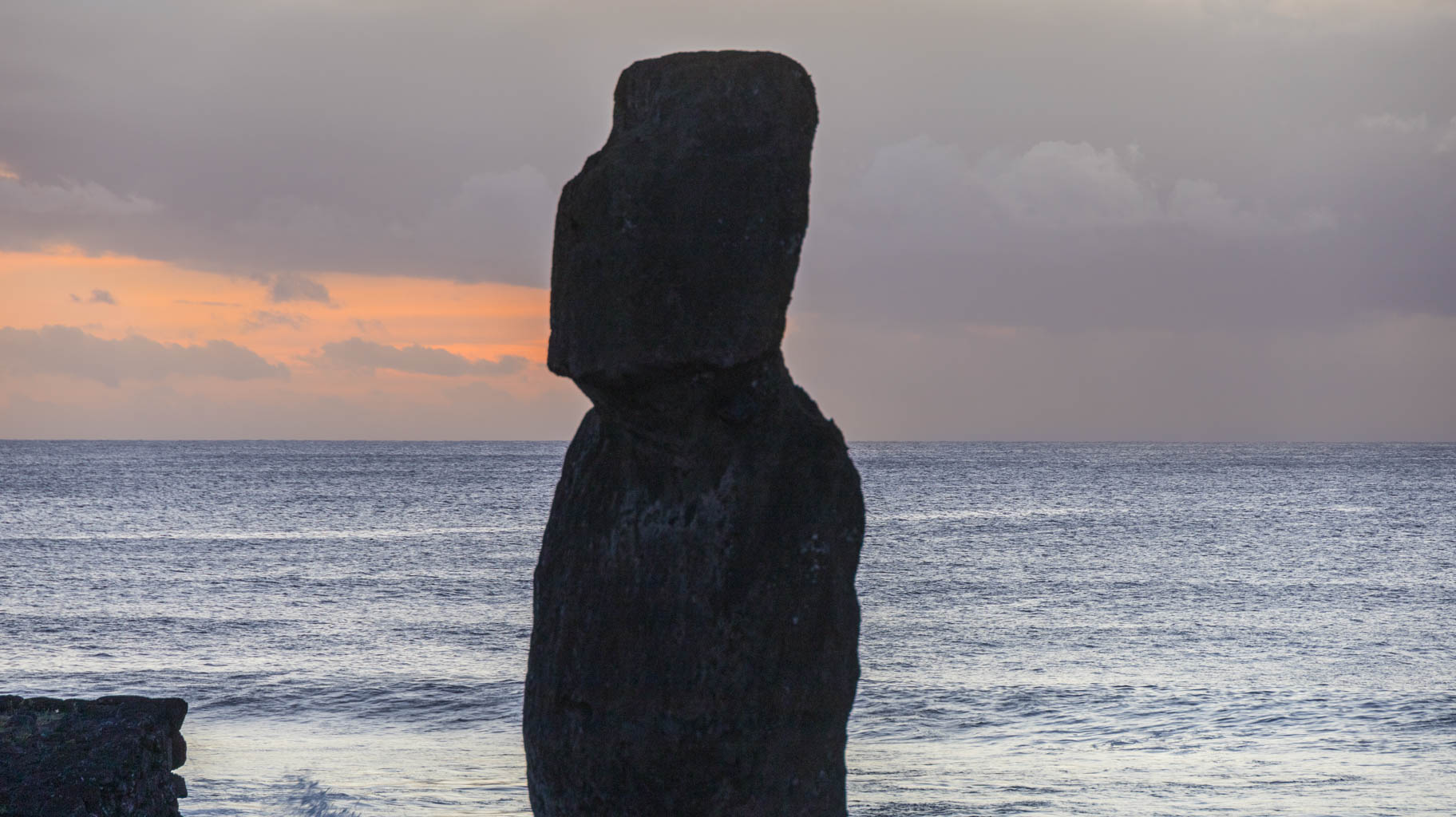
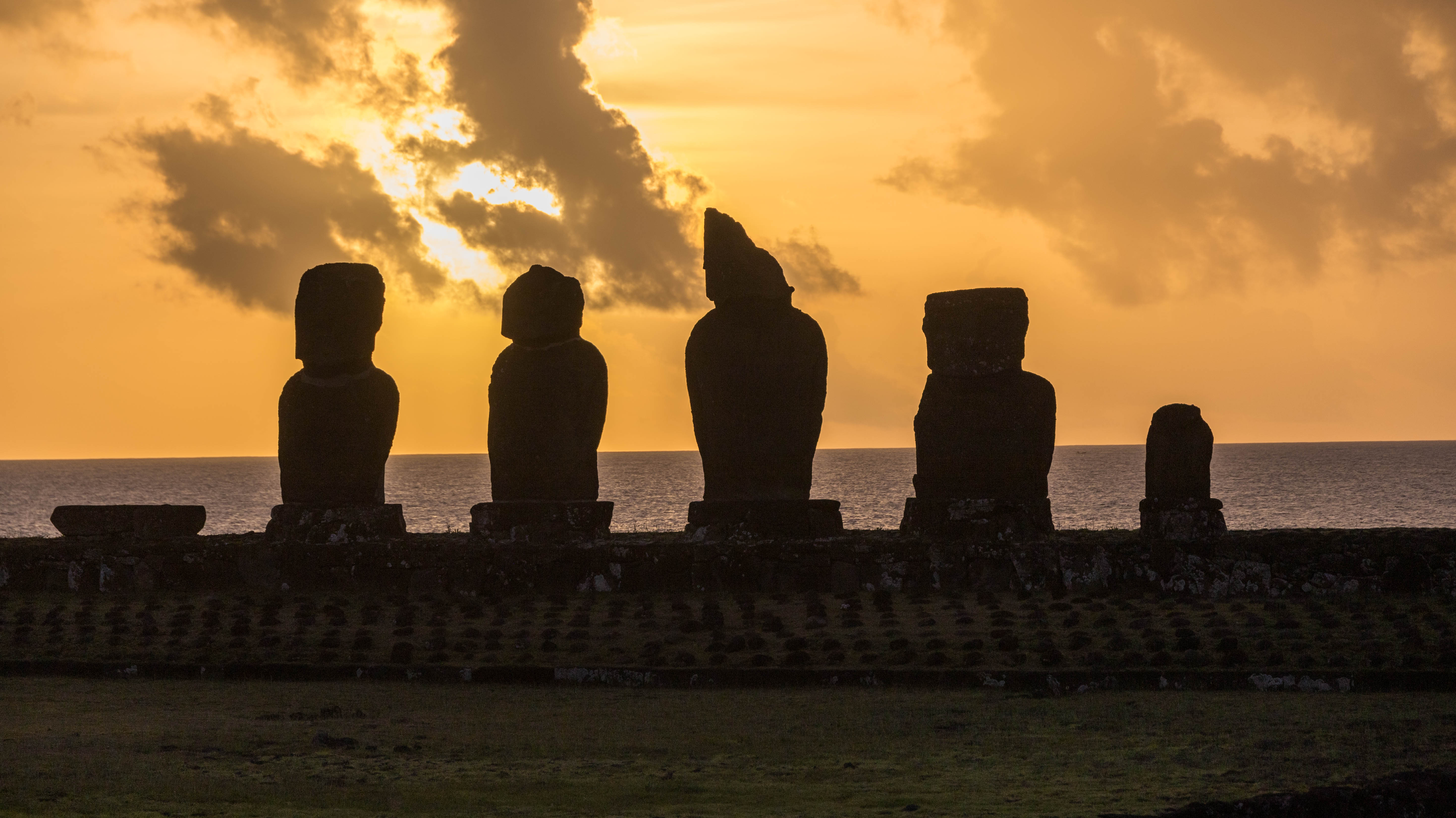
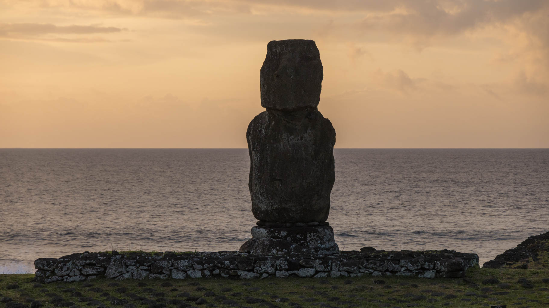
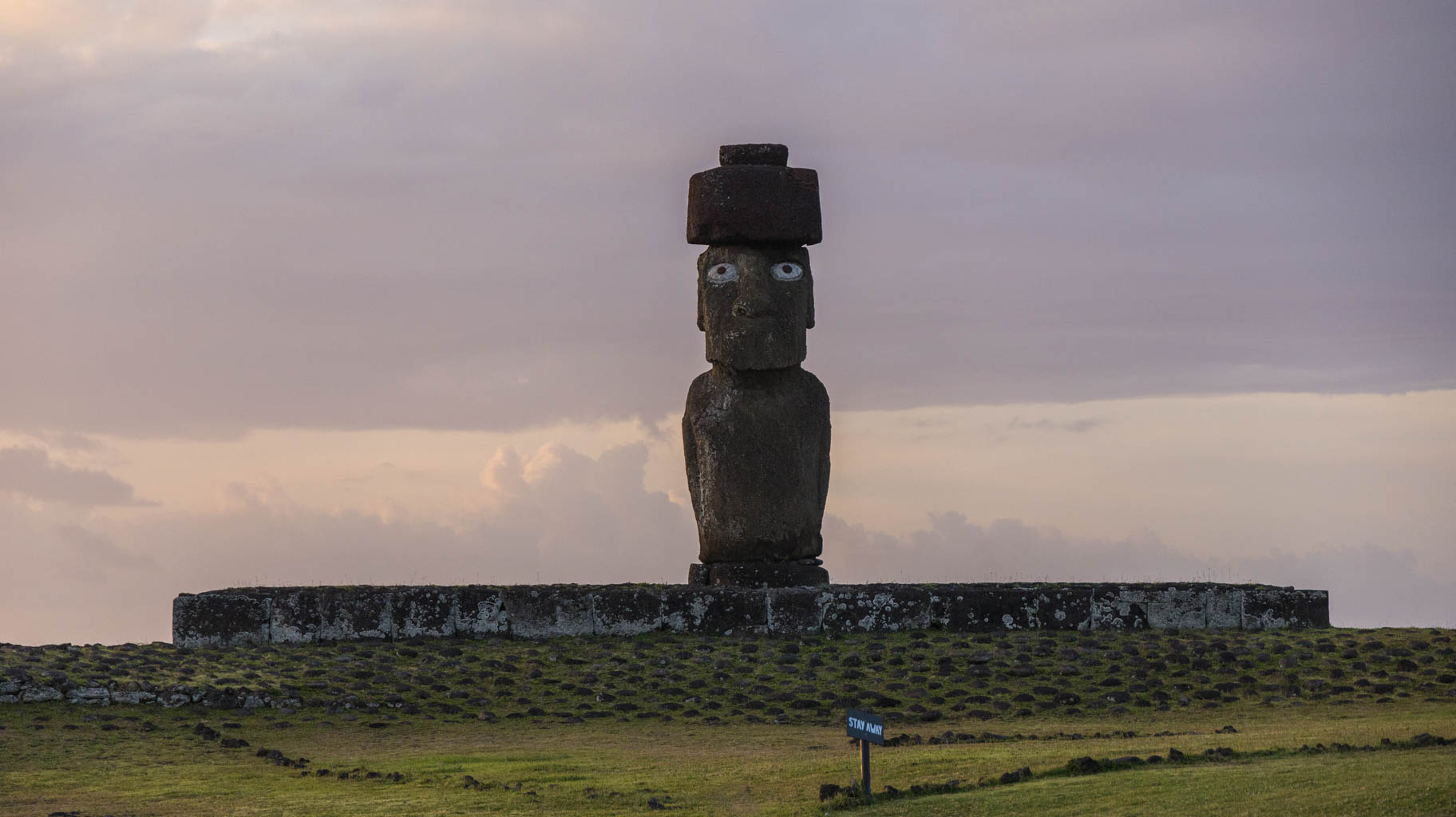
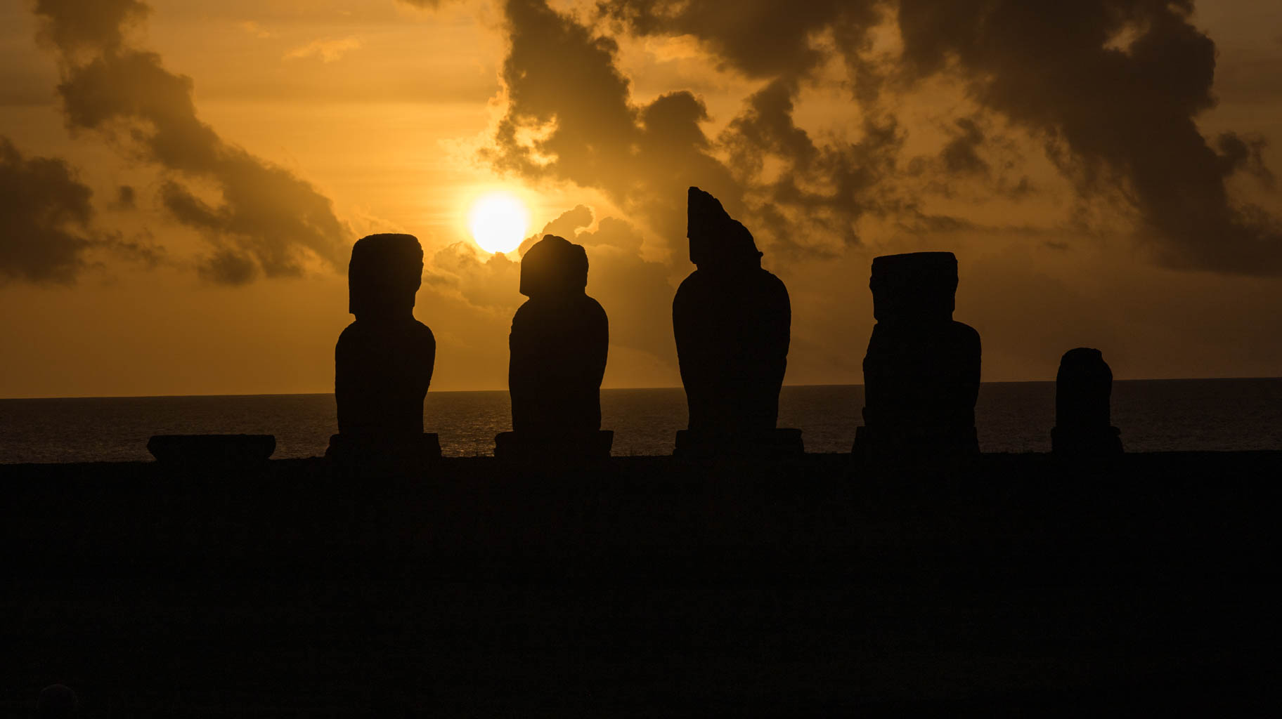
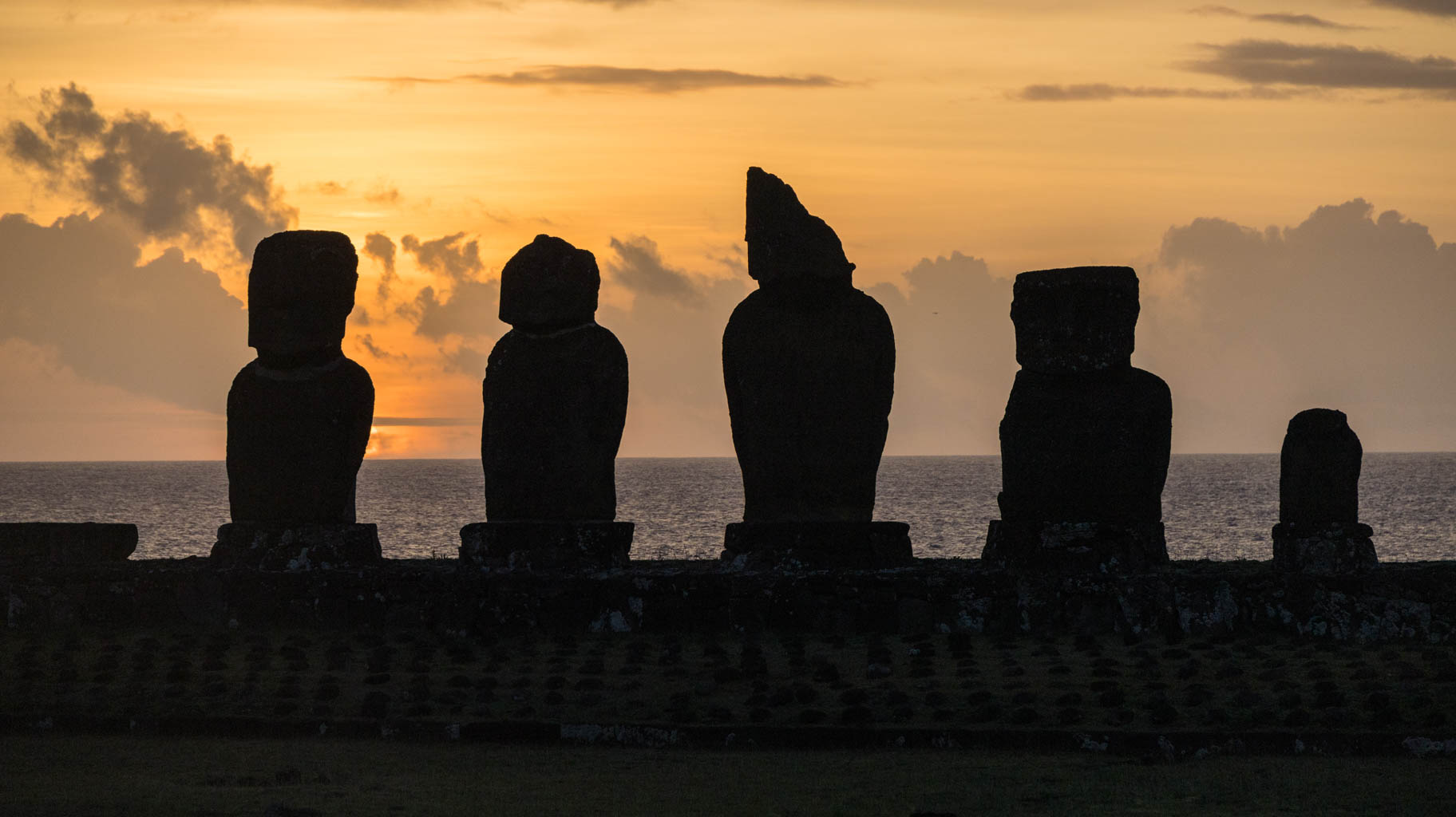
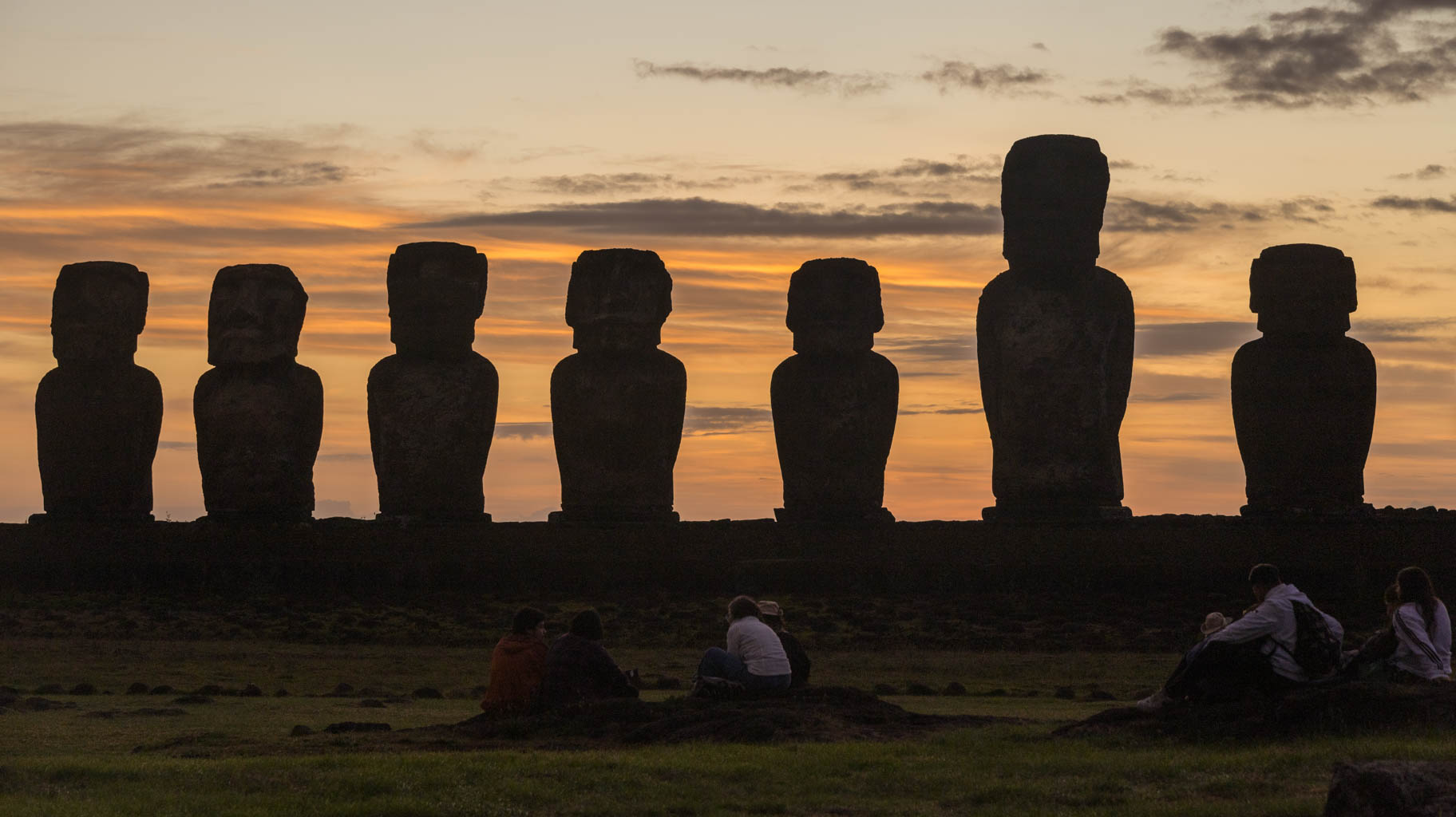
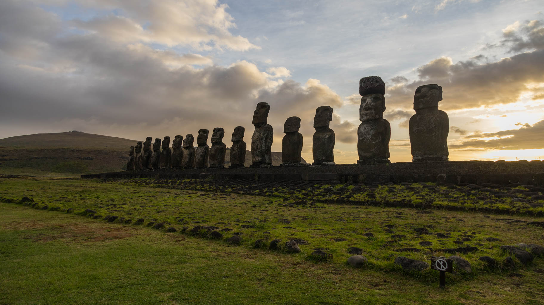
We end the day watching the sunset while admiring the first few moai statues—Ahu Tahai and Ahu Ko Te Riku—where a sizable group of people gathers.
Today we have a full-day island tour booked. In practice, the tour lasts from 9:30 AM to around 3:00 PM and costs $50 per person.
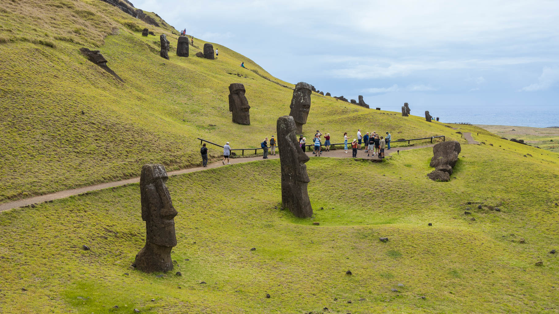
As I mentioned yesterday, most of the island is a protected area, and you can’t enter the archaeological sites without a local guide, so this is essentially the only legal way to explore the island.
Before the pandemic, most attractions were accessible without hiring a guide, but many restrictions were introduced during and after the pandemic.
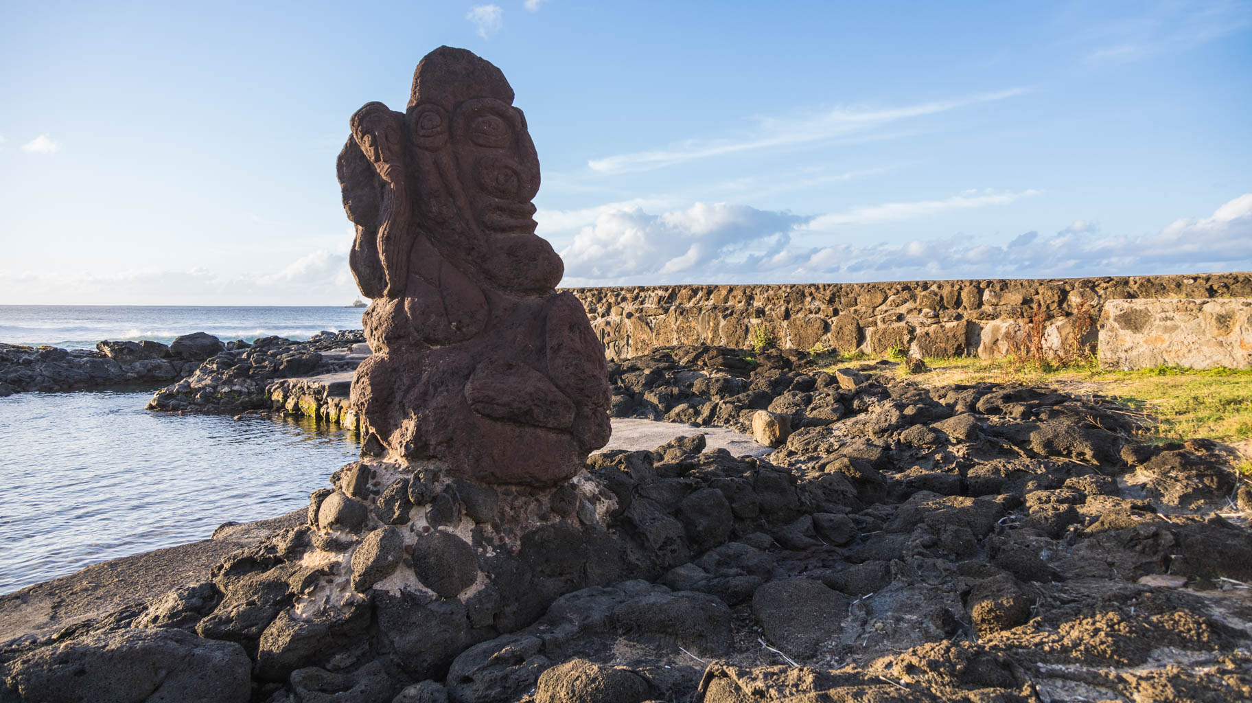
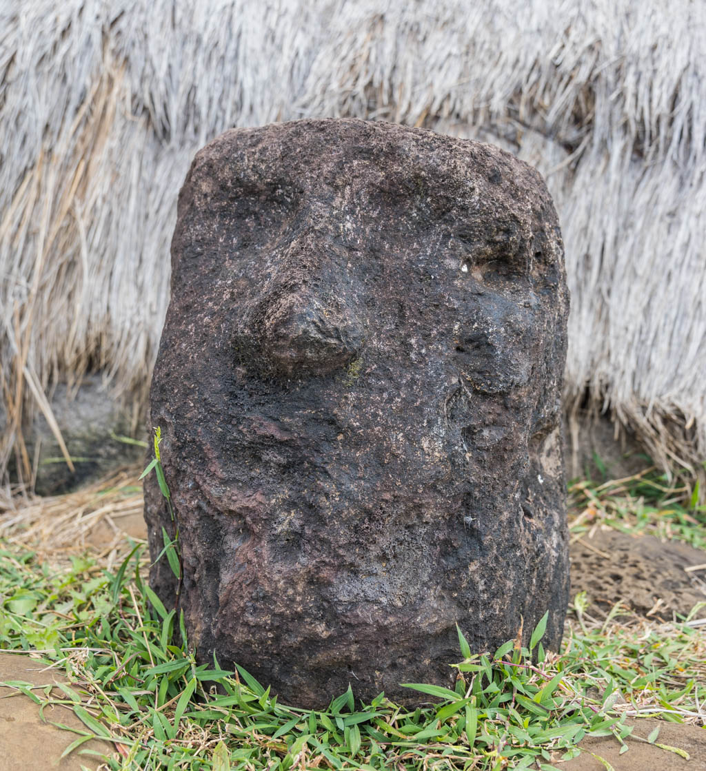
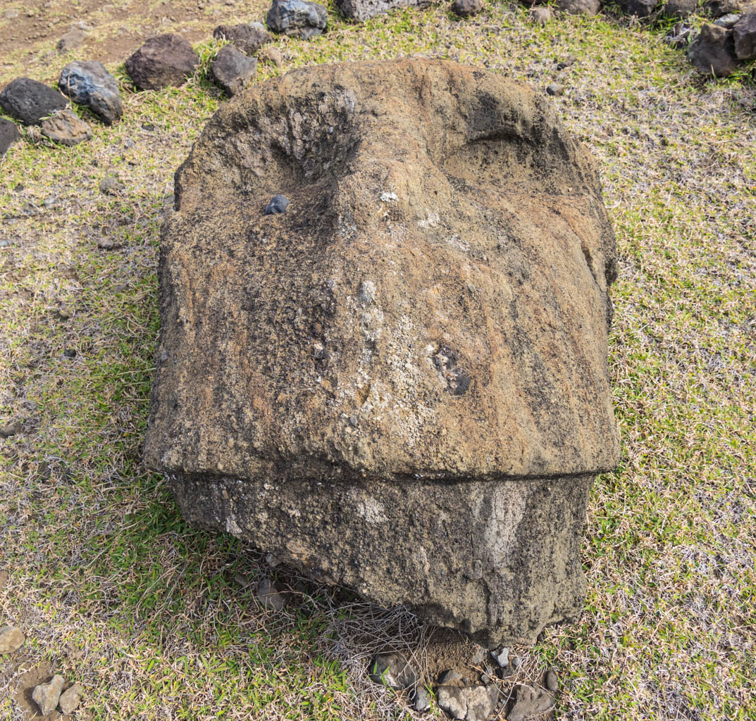
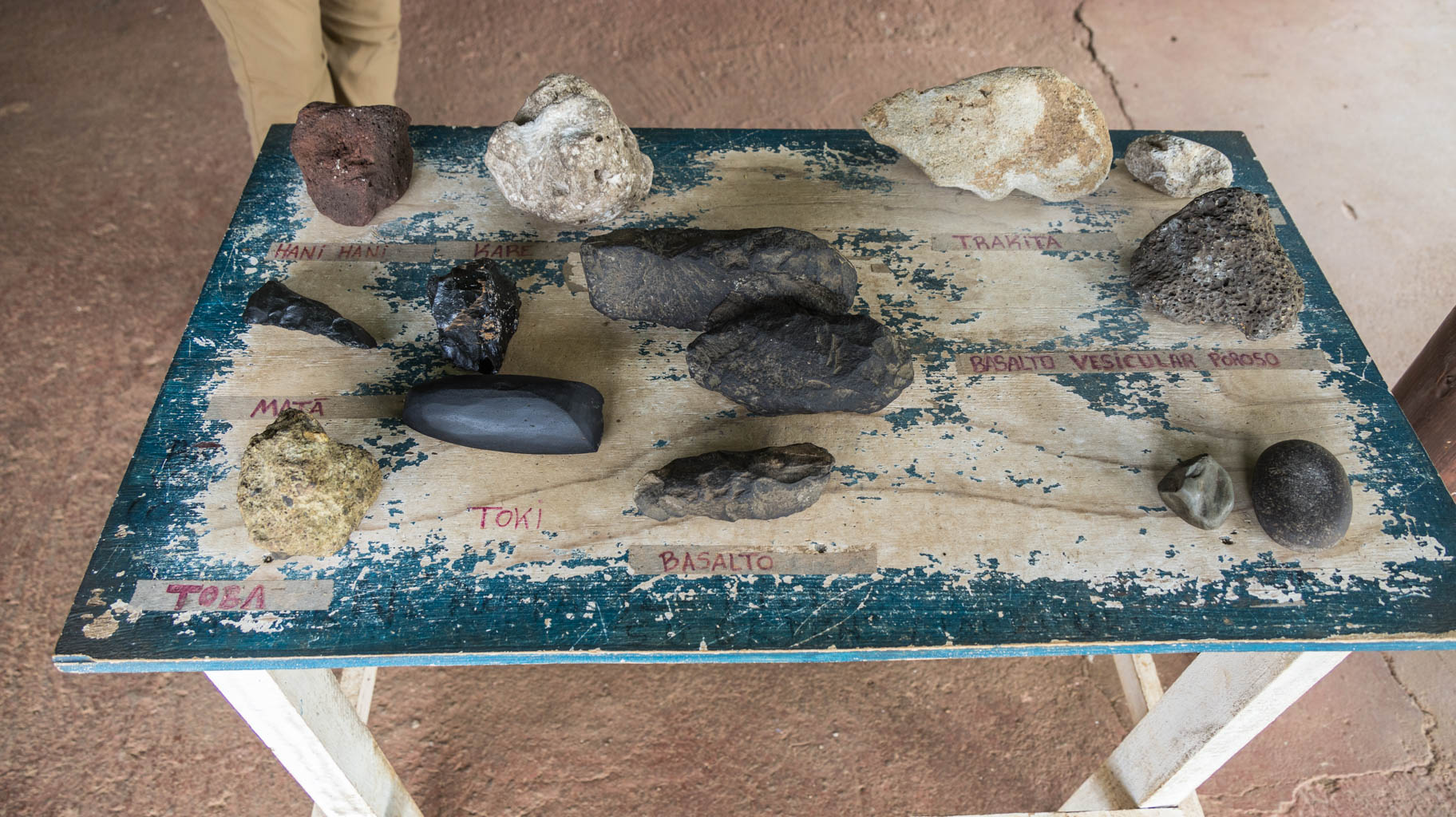
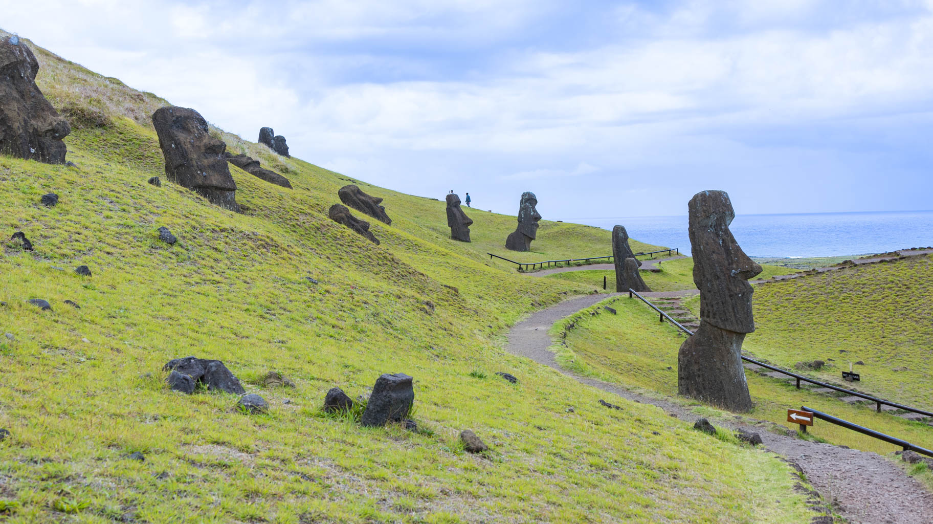
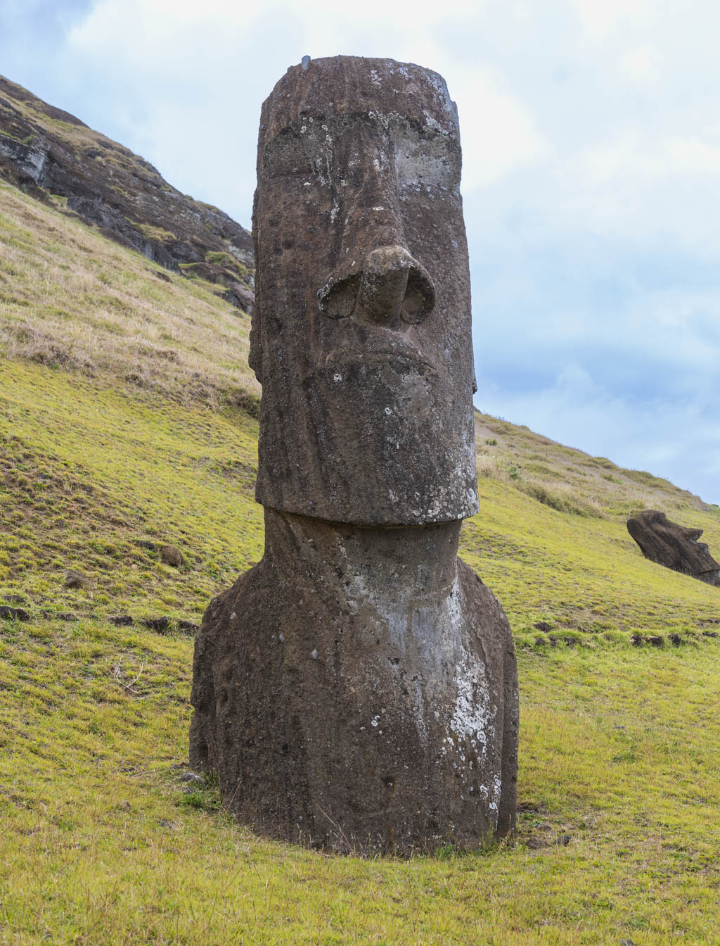
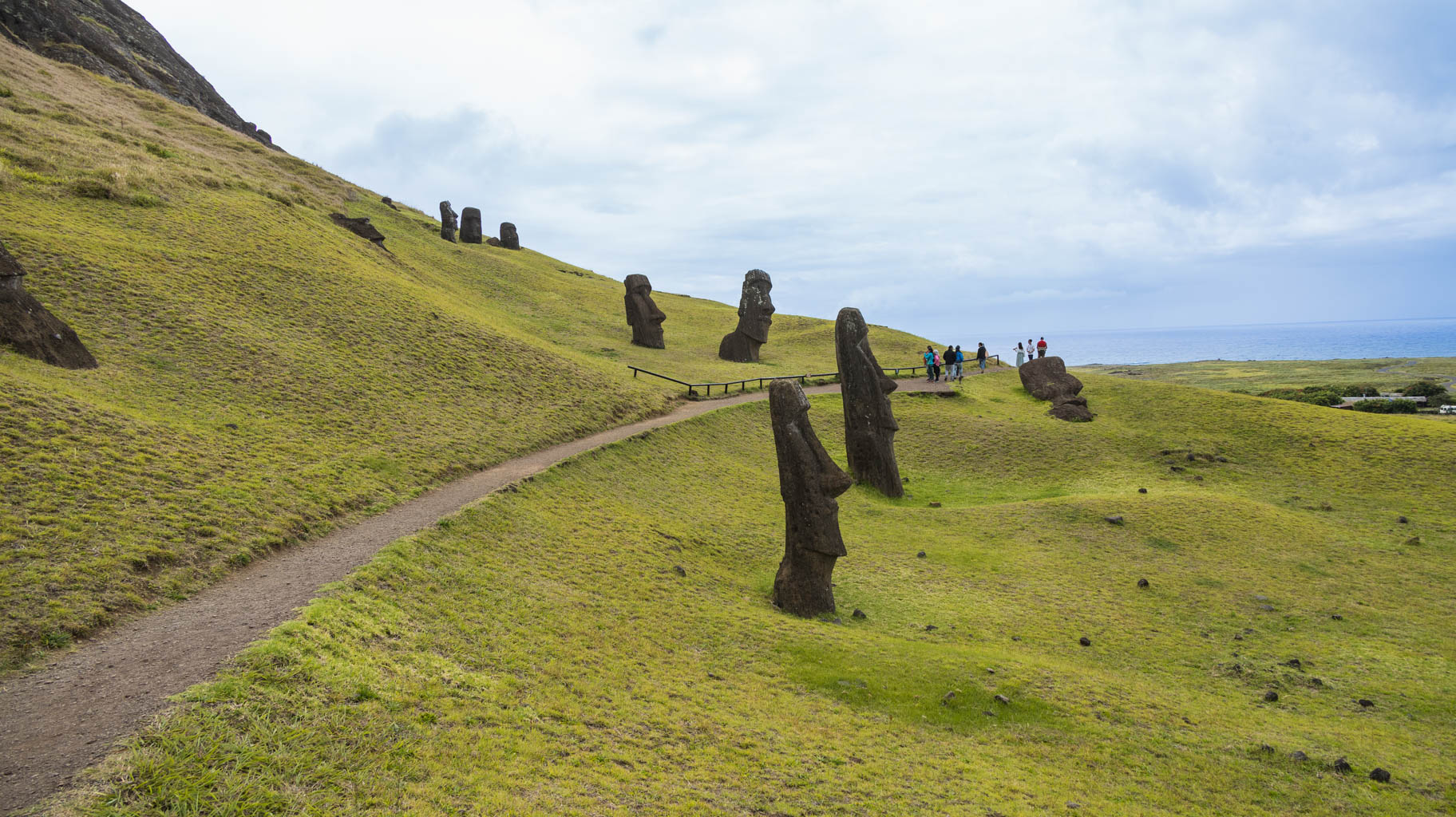
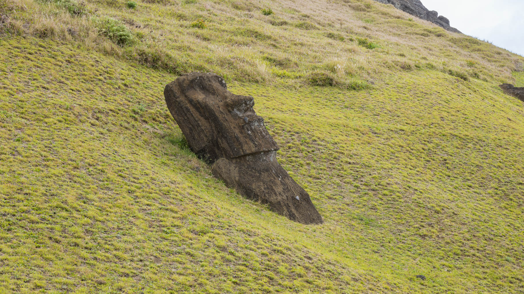
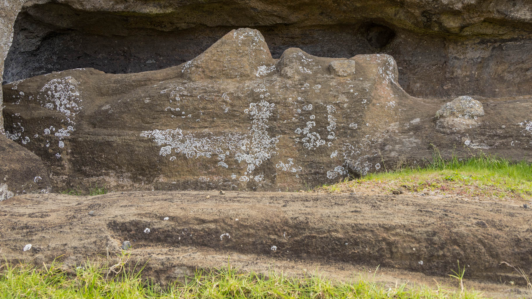
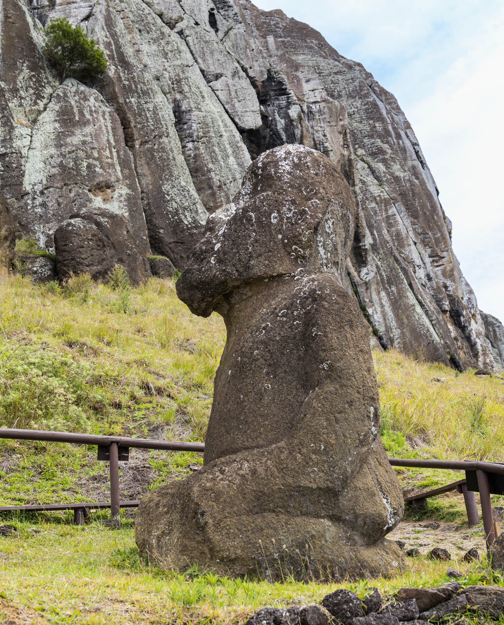
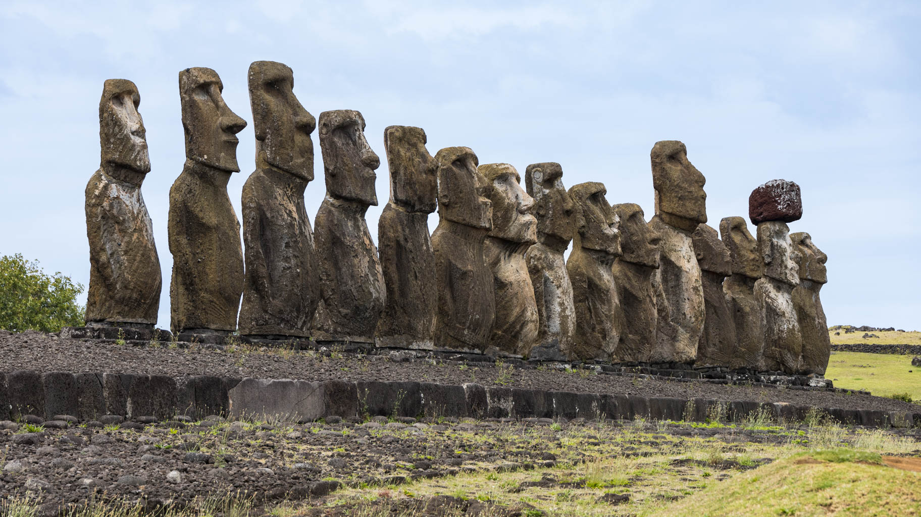
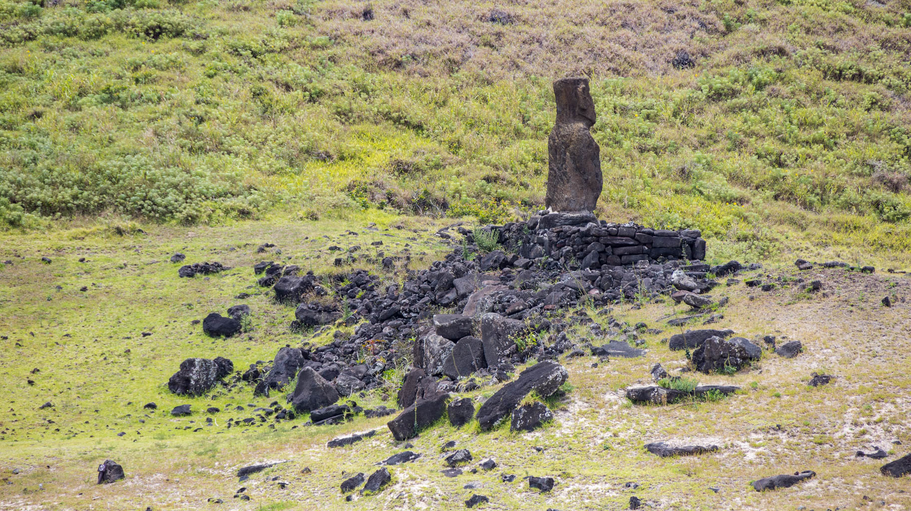
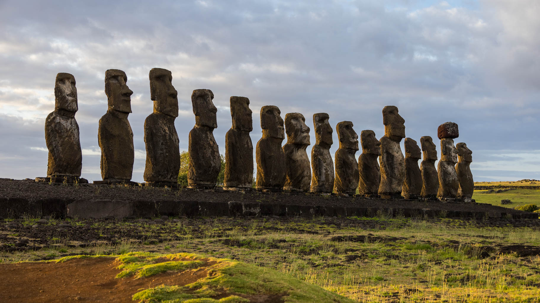
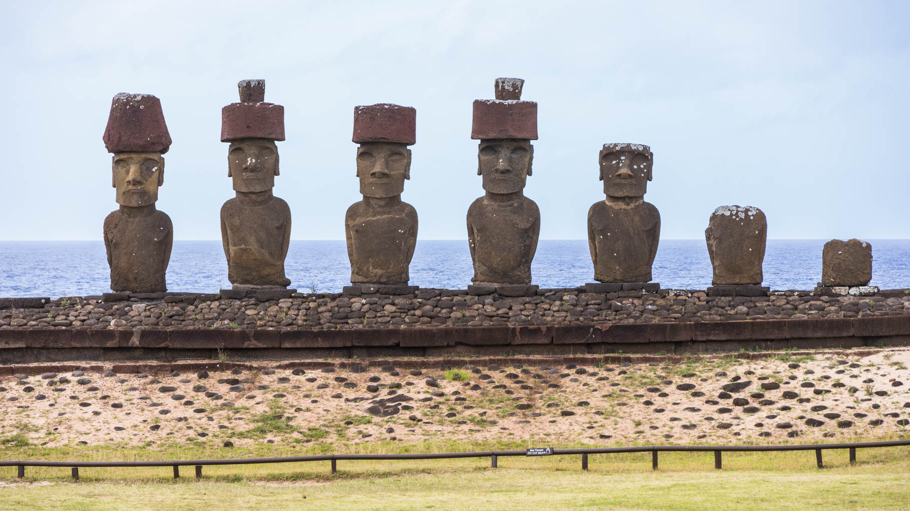
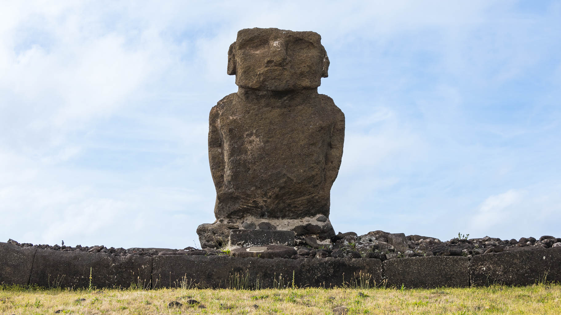
The moai statues are made of a light volcanic rock called tuff, which is highly susceptible to erosion and damage. Many have not stood the test of time, which is evident in some of the places we visit.
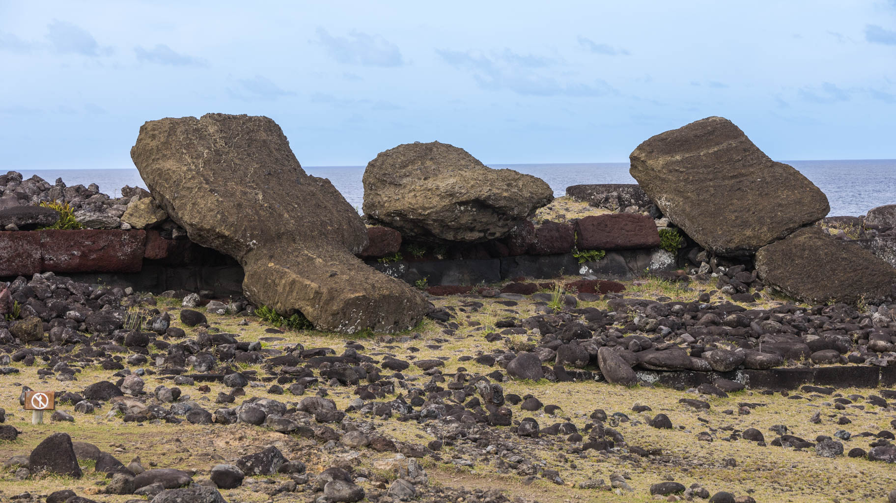
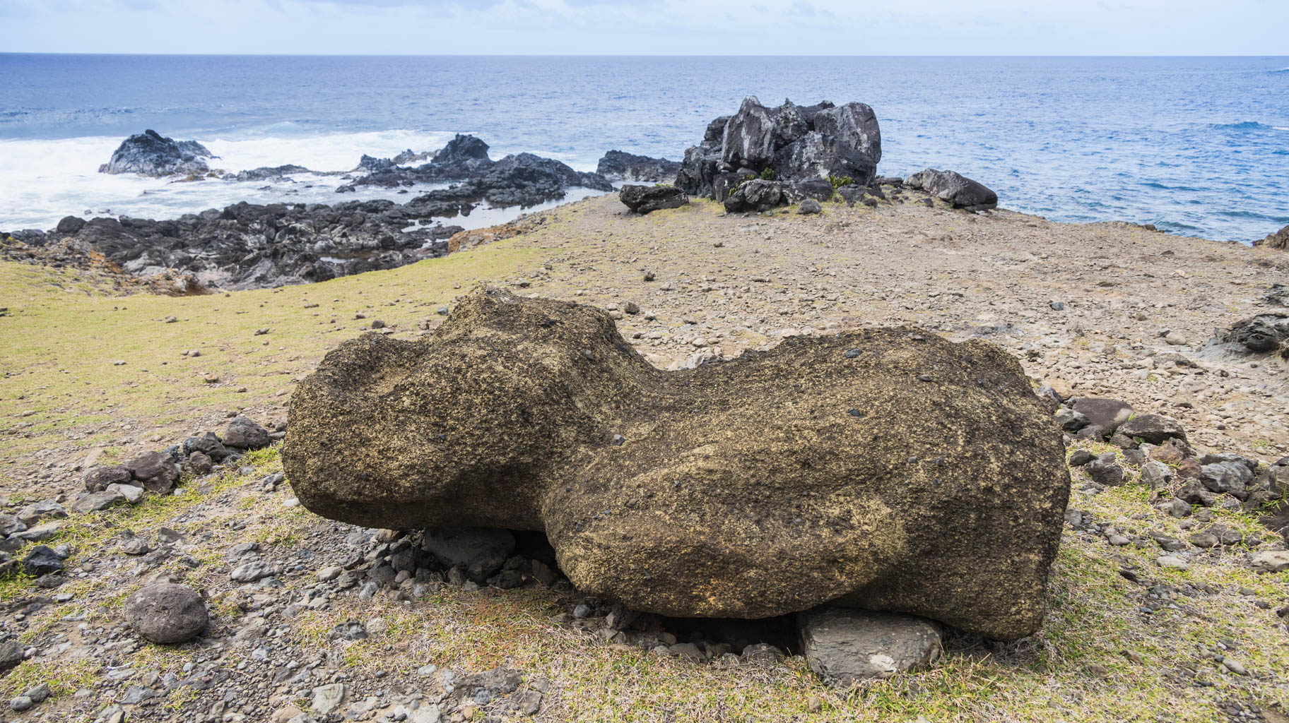
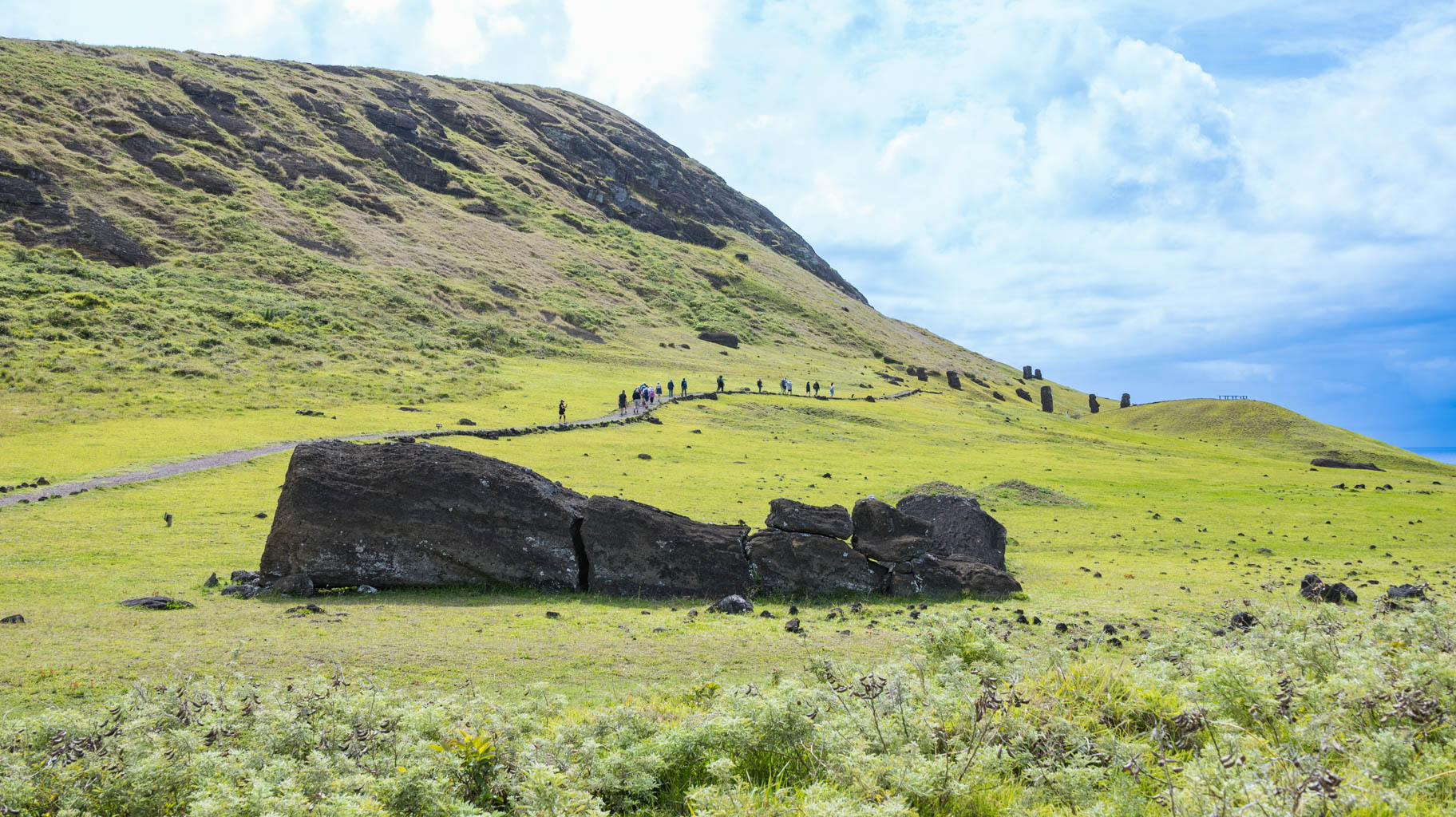
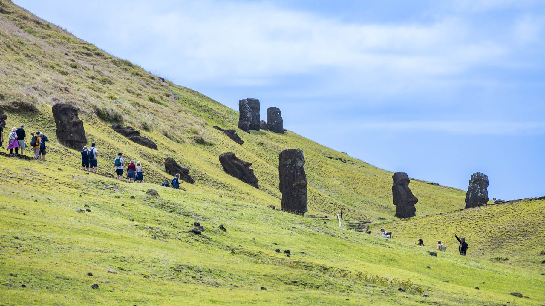
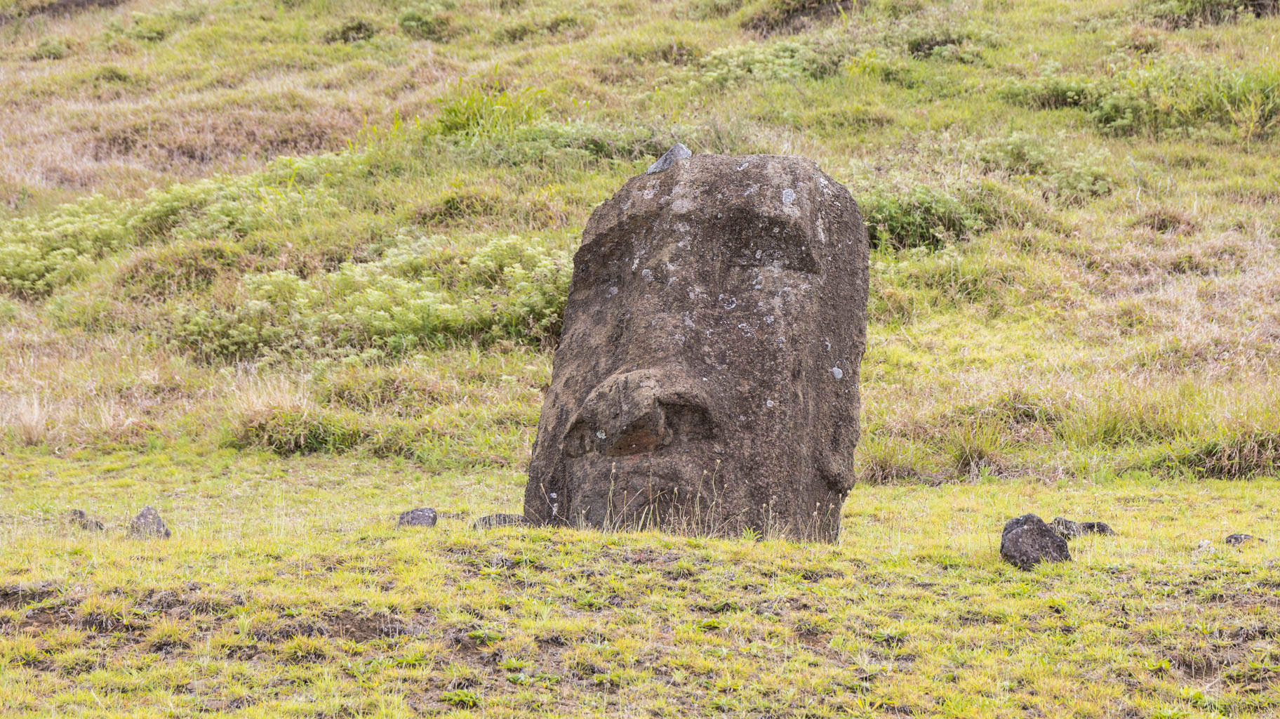
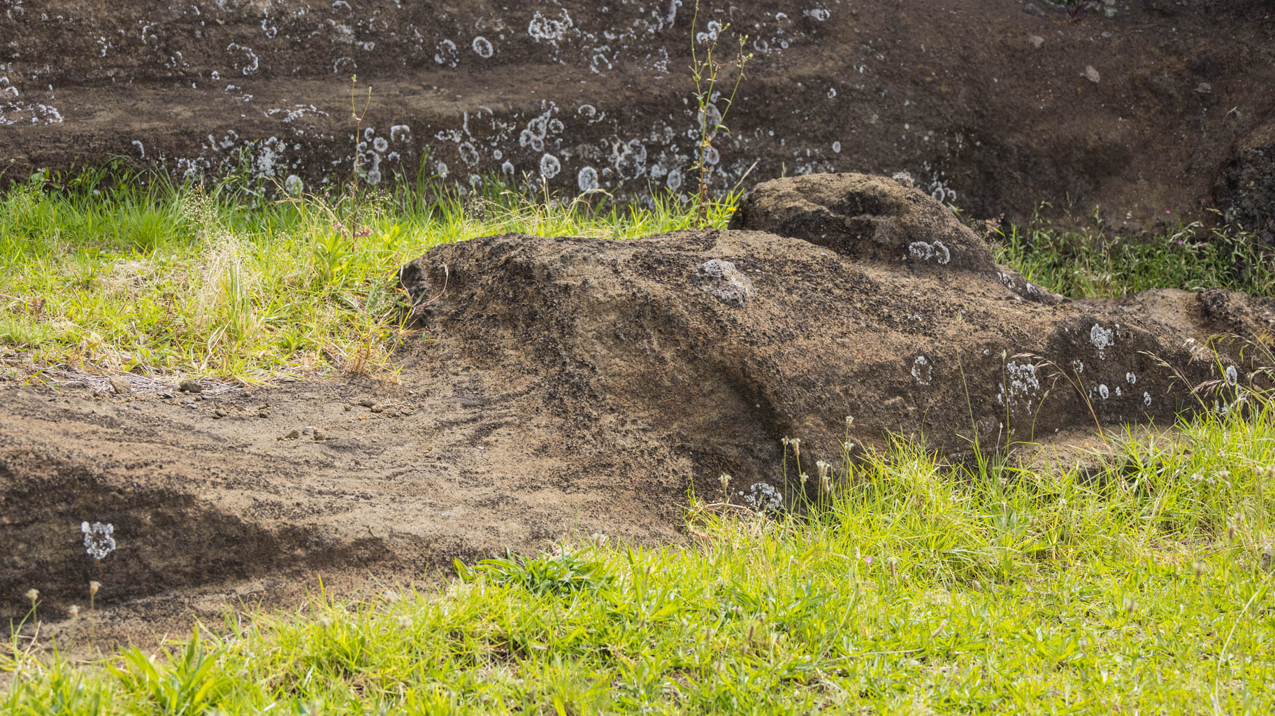
Some statues are found lying in pieces, although most are still standing. Some are buried in sediment layers, with only their heads visible above ground.
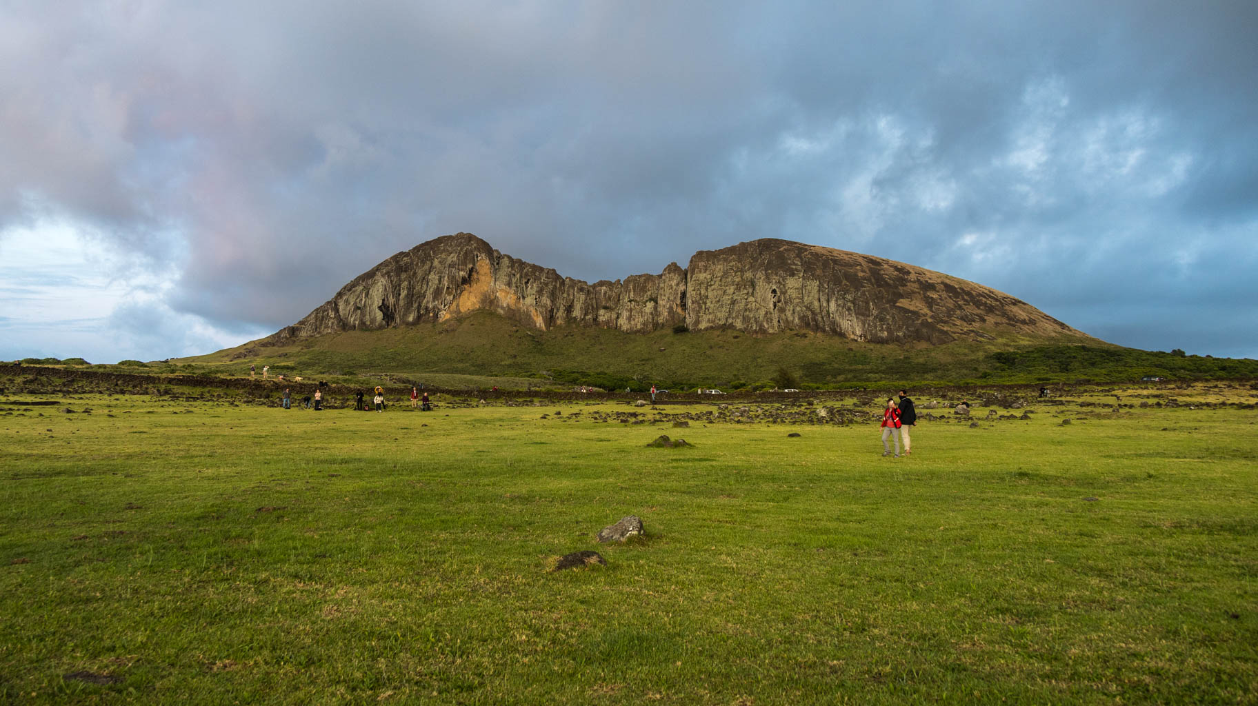
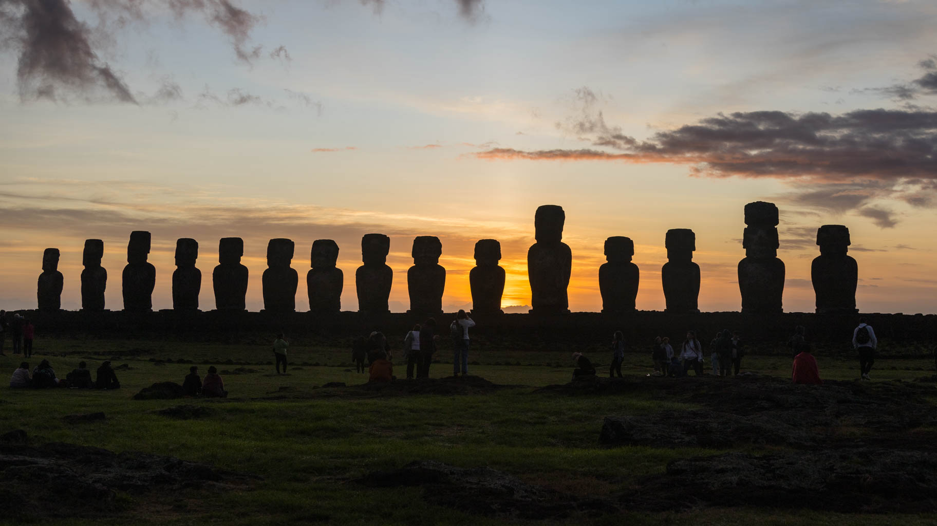
The largest site—Ahu Tongariki—was practically scattered across the surrounding area by a tsunami in 1960. Numerous human bones were also found at this location.
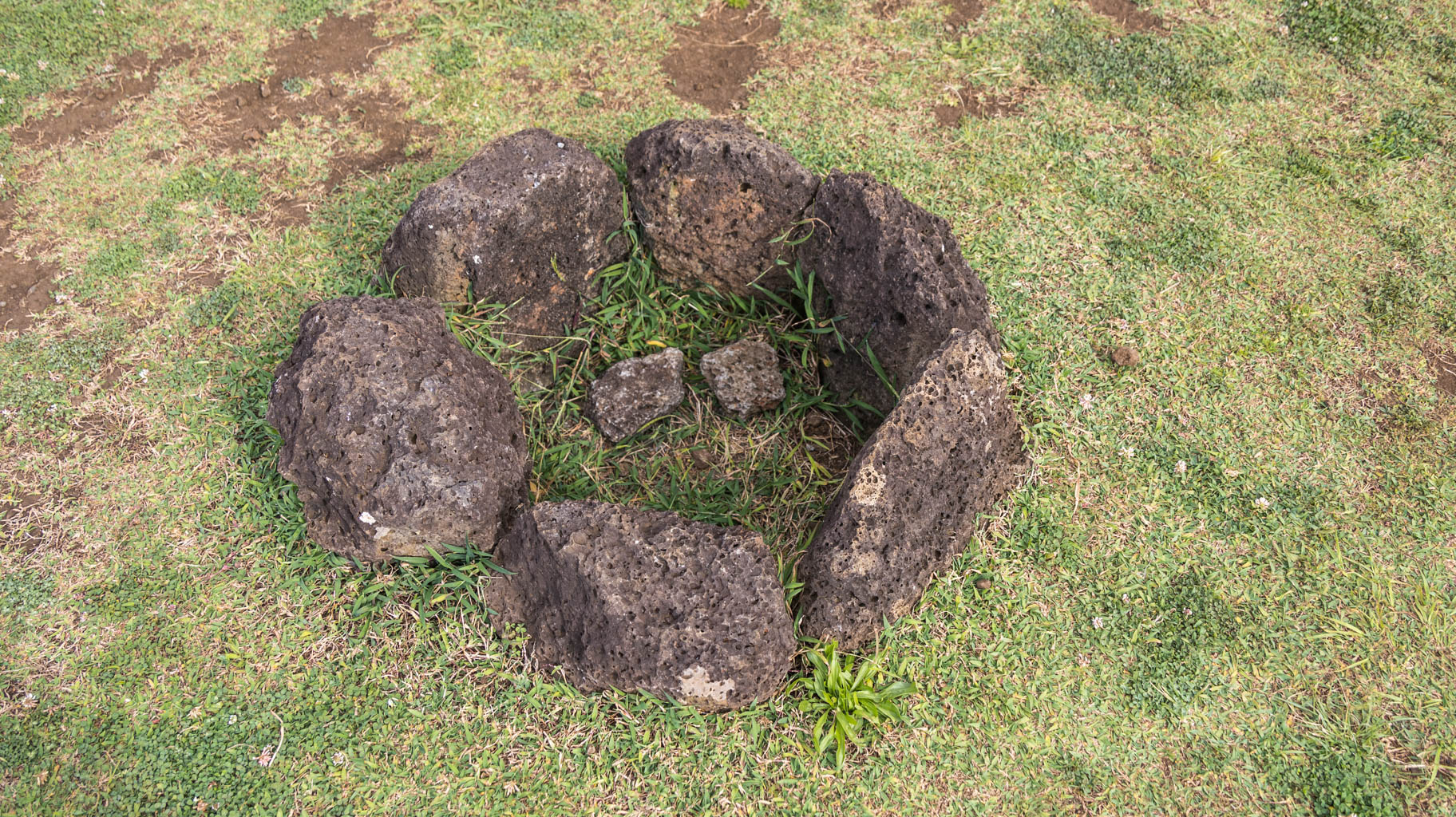
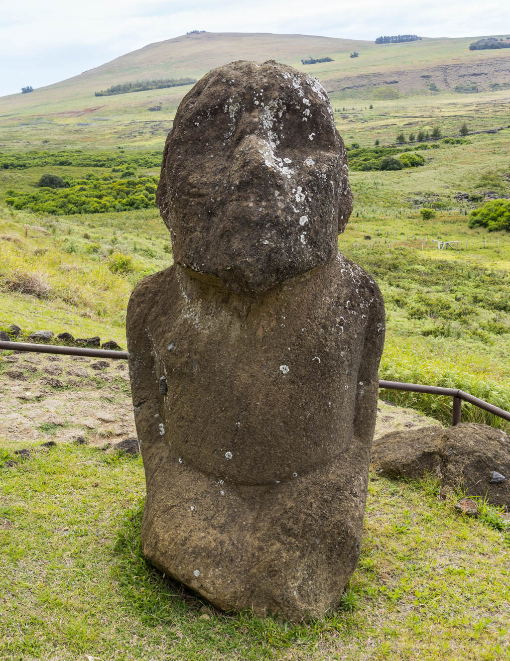
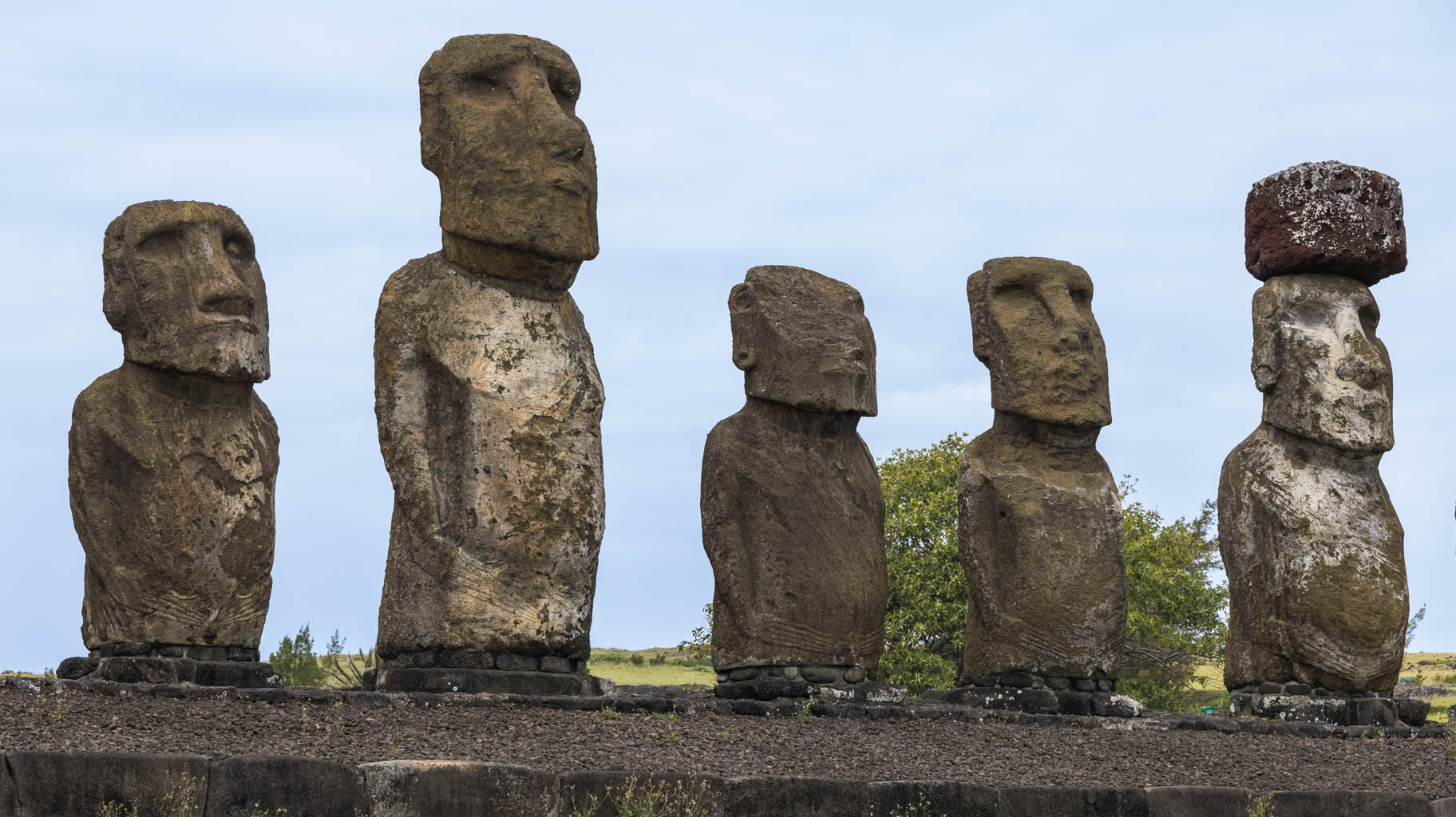
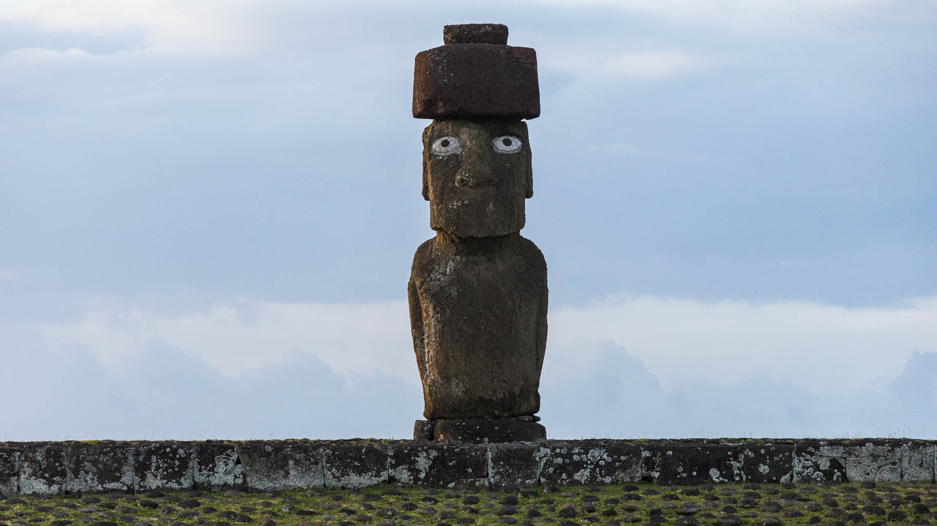
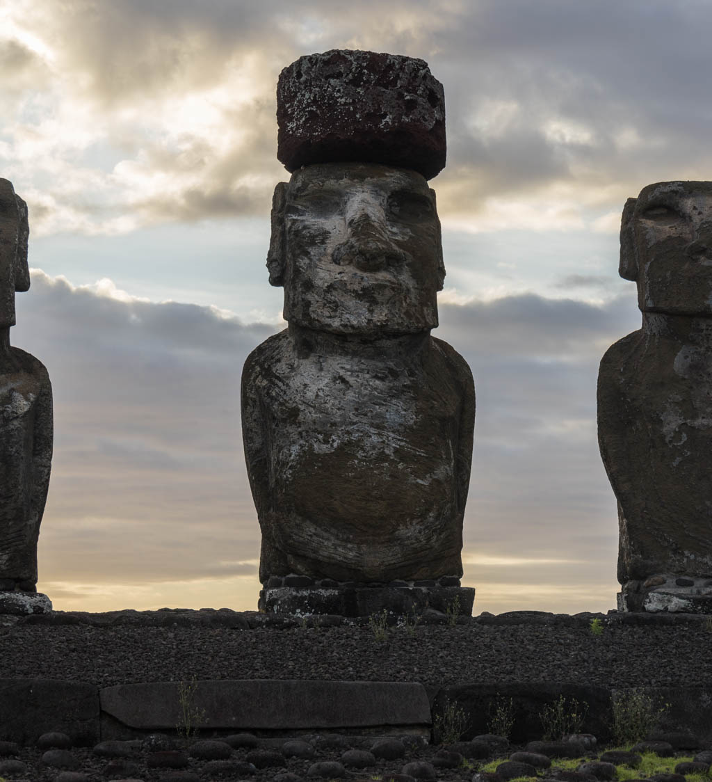
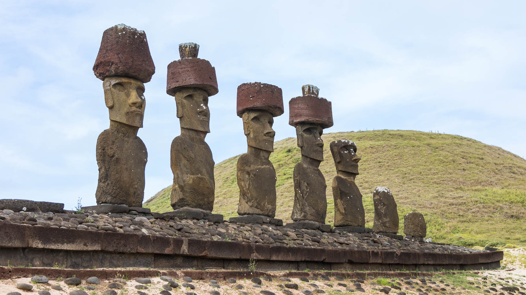
According to information passed down orally by the local people, the moai statues do not represent gods, but ancestors who contributed significantly to the community—for example, by fishing and sharing their catch with the entire village. Their bodies were cremated, and statues were placed on their ashes to honor them. Some of the statues had obsidian eyes, which were believed to radiate "mana", or mystical good energy, toward the village.
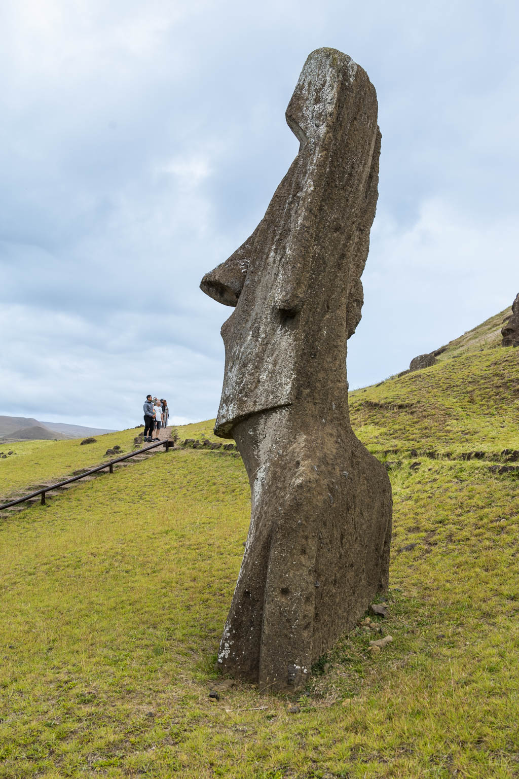
The island was colonized by Polynesians around the 9th century, but little is known about their culture. One major mystery is the technology they used to transport the statues from the quarry. Some theories even suggest aliens, but scientific evidence more strongly points to the use of ropes, simple sledges, and trees over which the statues were rolled. In many cases, the statues were moved in an upright position, as indicated by the shape of their bases, which allowed them to be tilted side-to-side and forward.
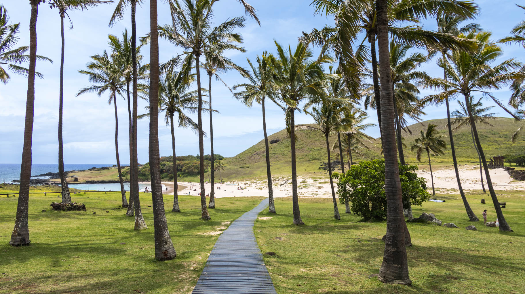
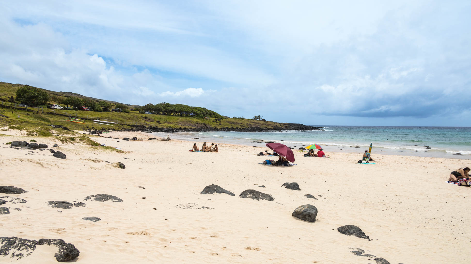
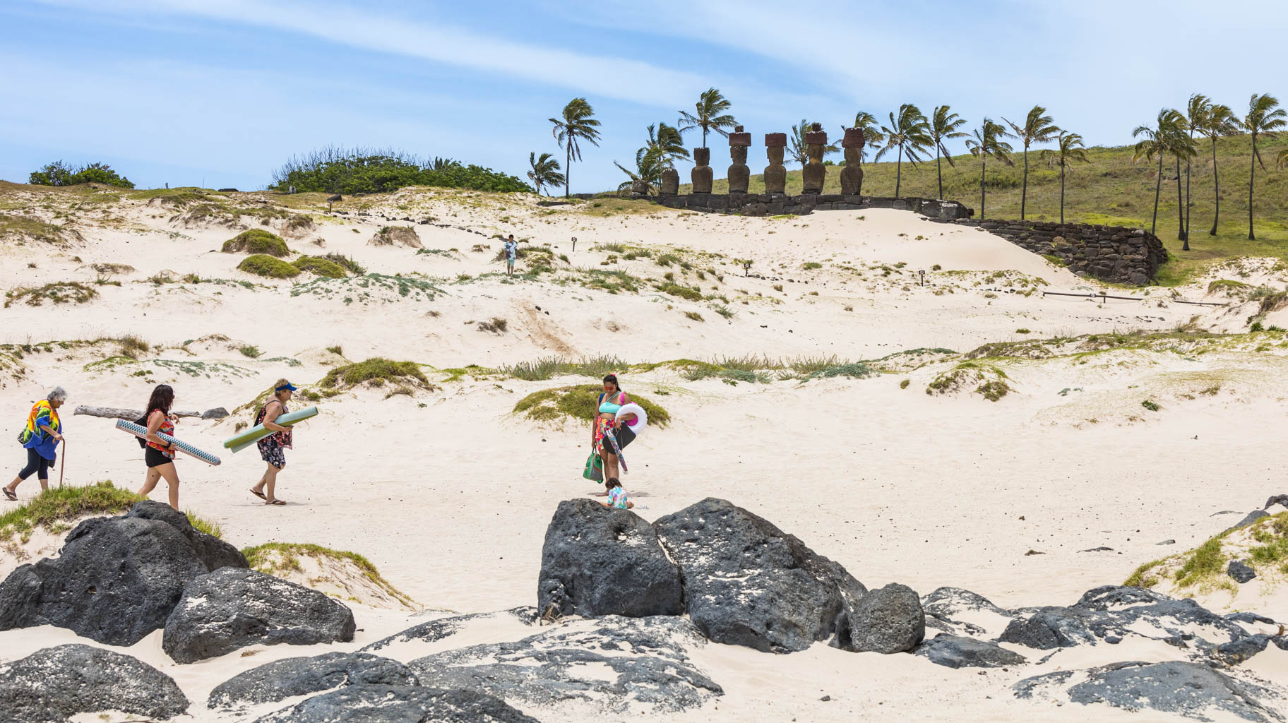
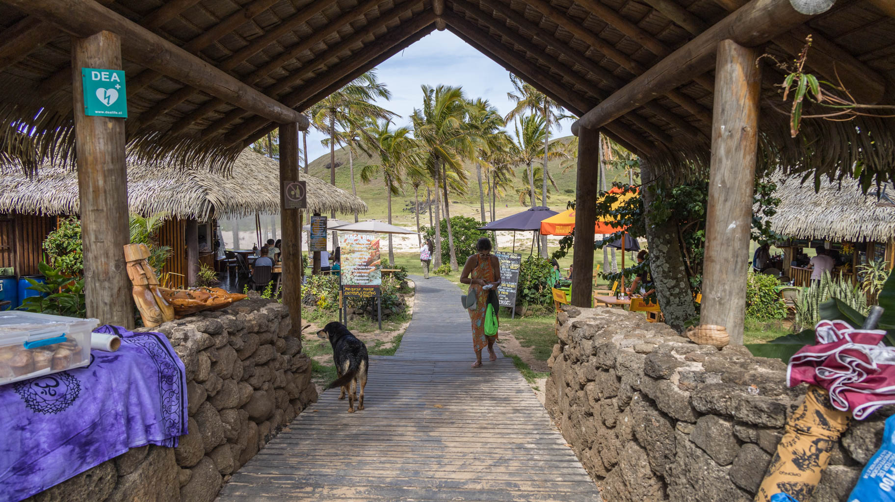
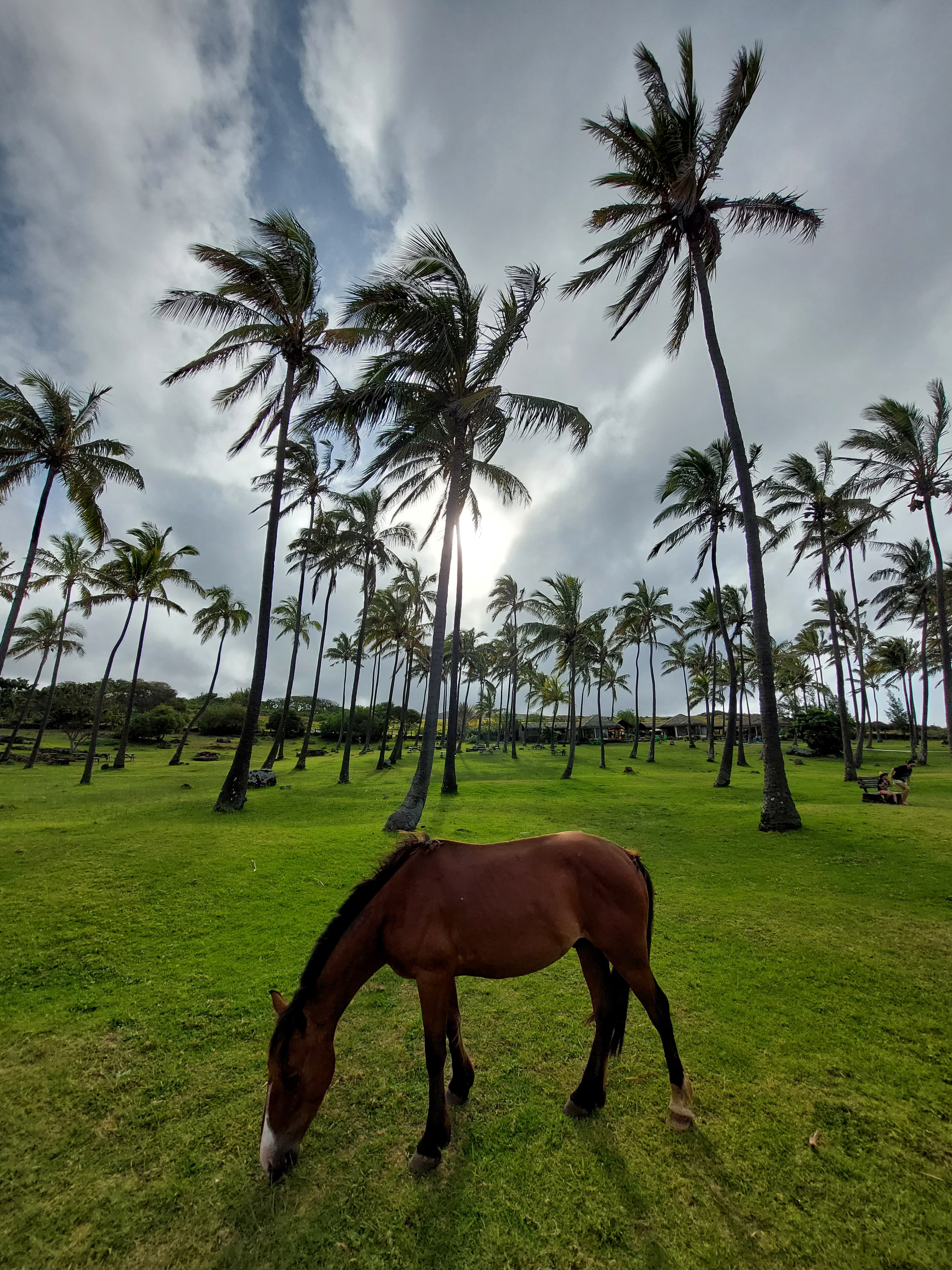
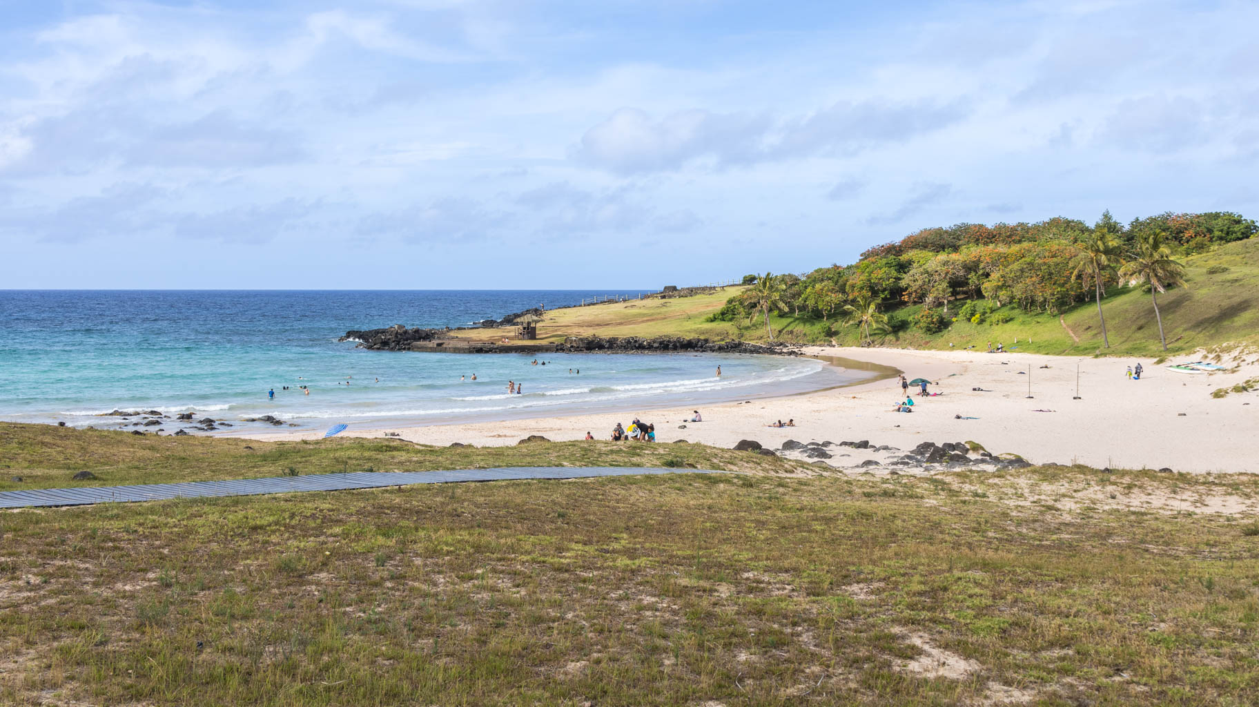
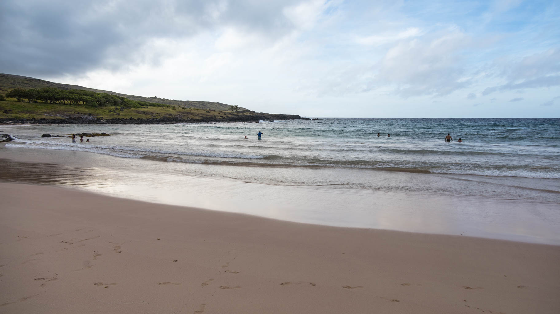
We also visit Anakena—the island’s only sandy beach. When the Polynesians arrived, this was the spot where they first landed, as it was the only place where ships could be safely anchored.
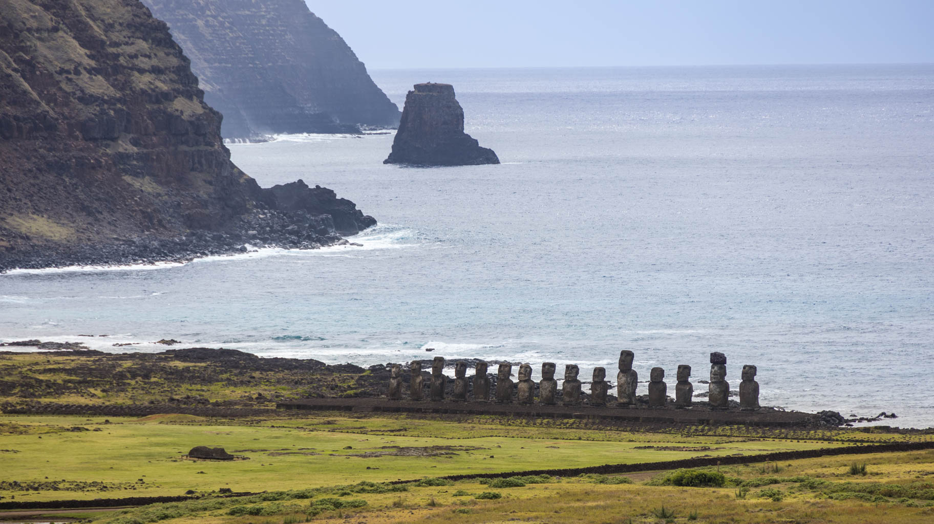
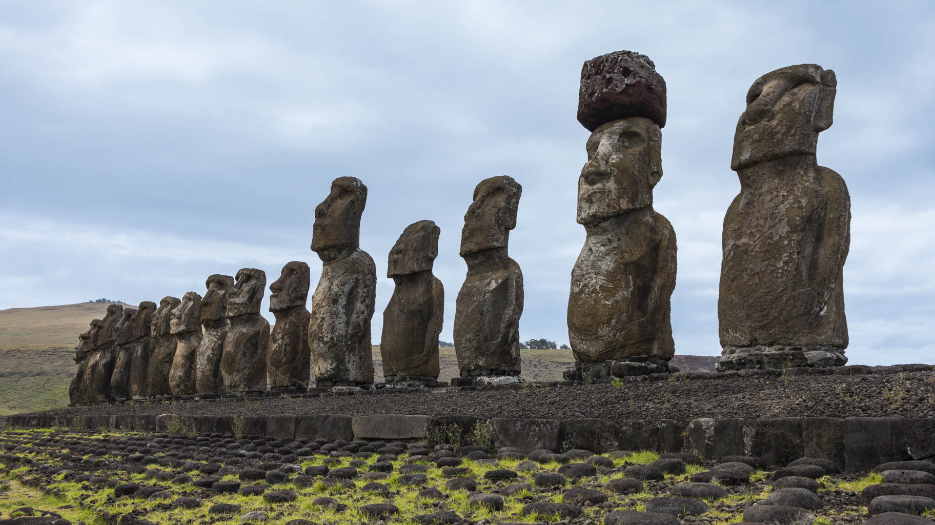
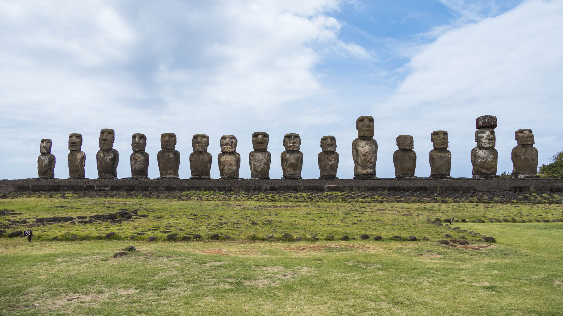
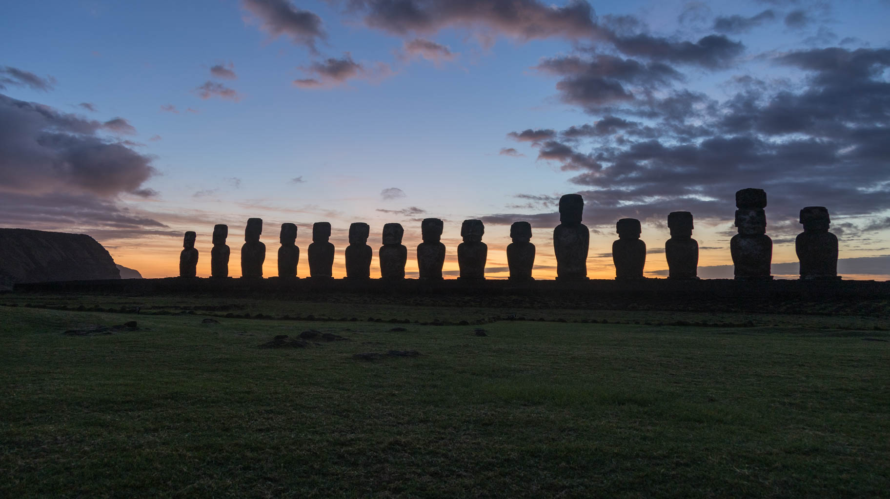
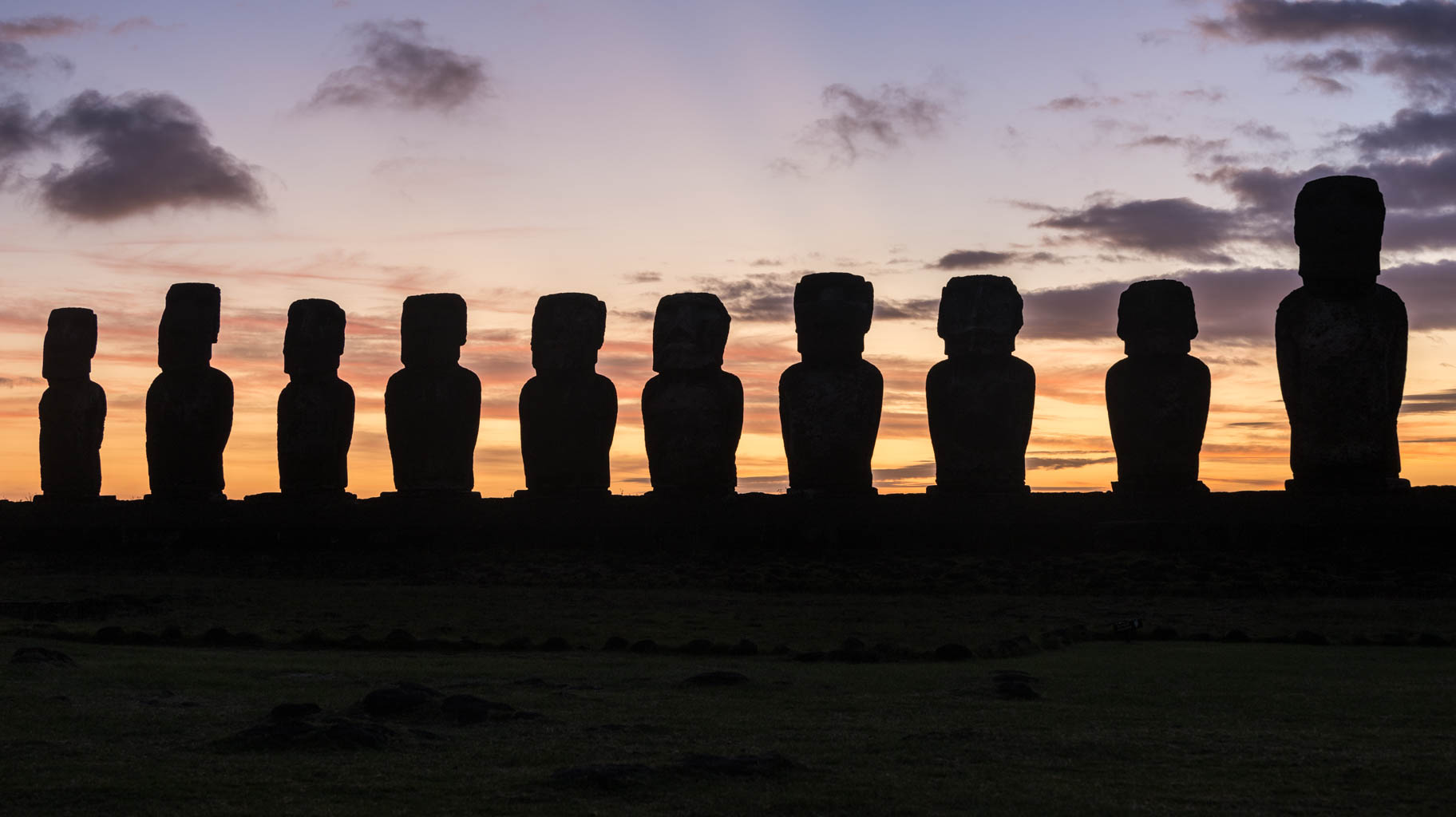
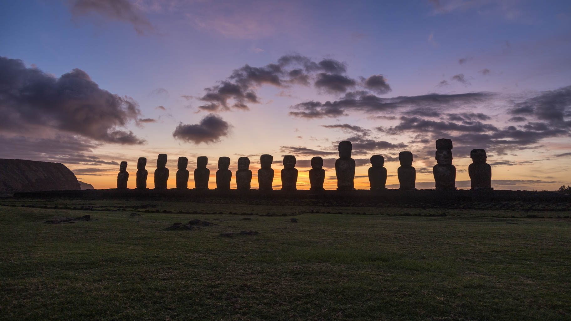
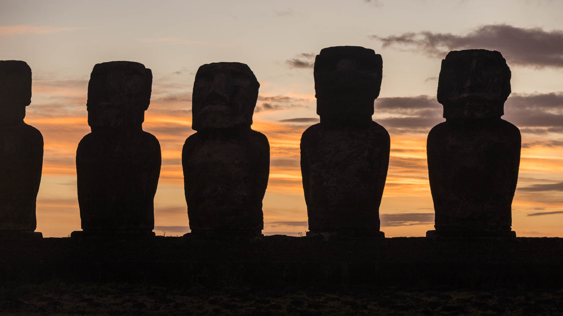
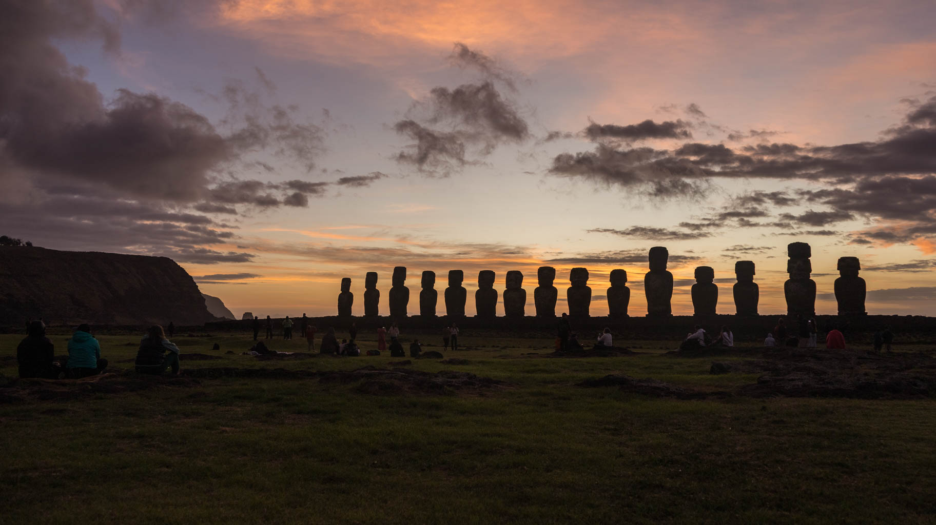
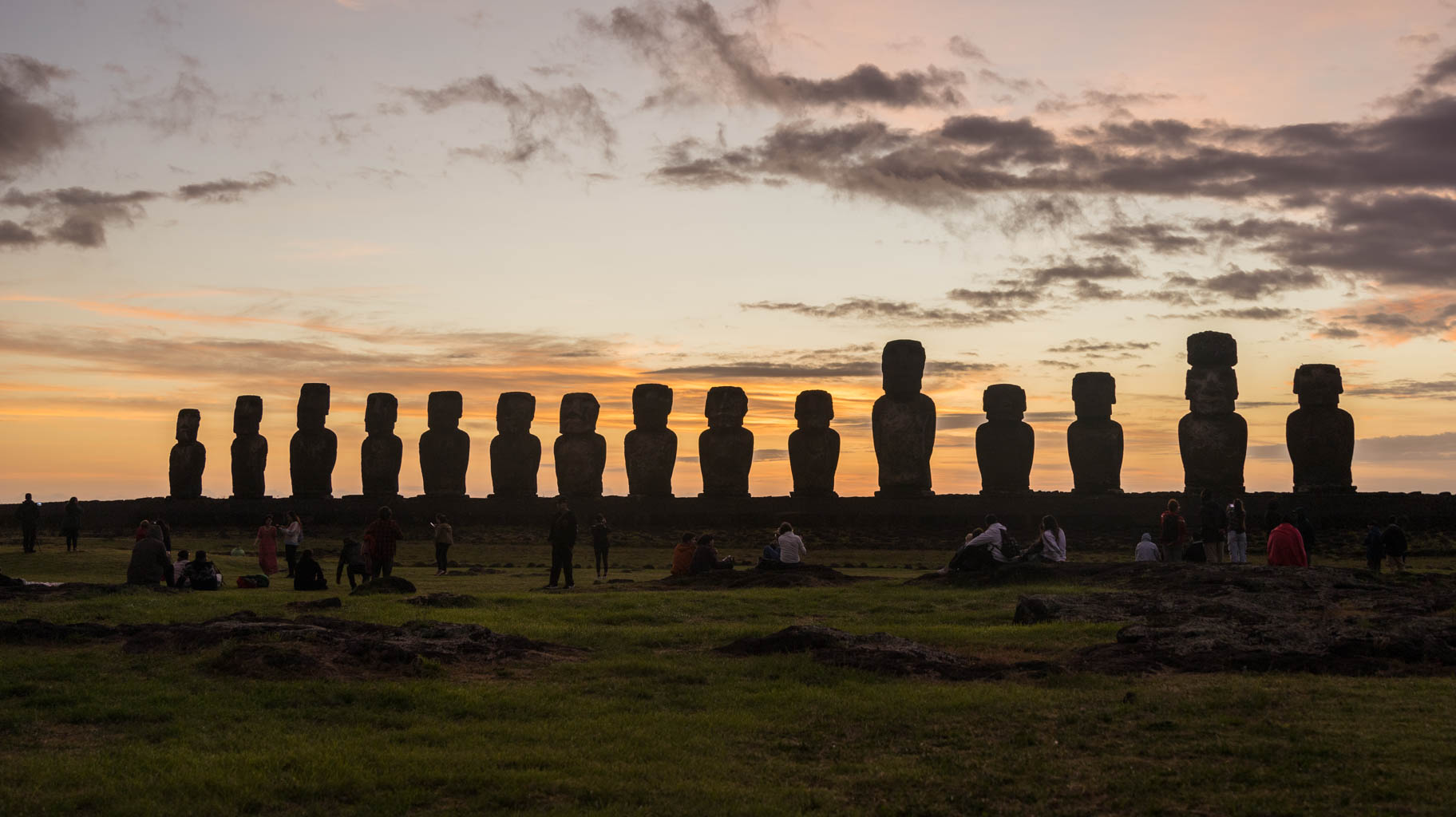
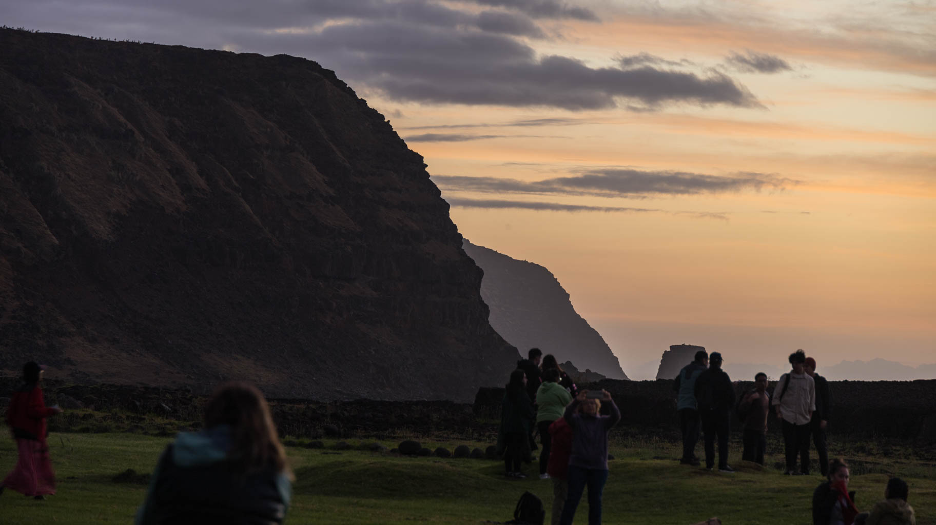
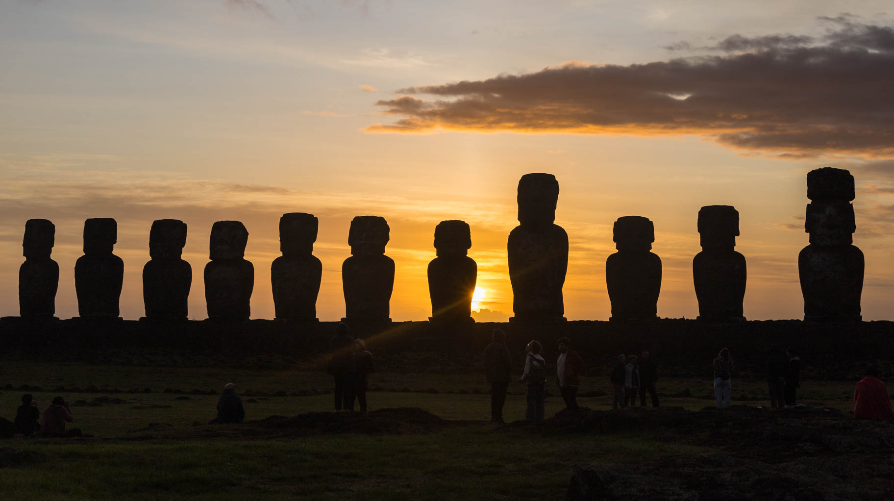
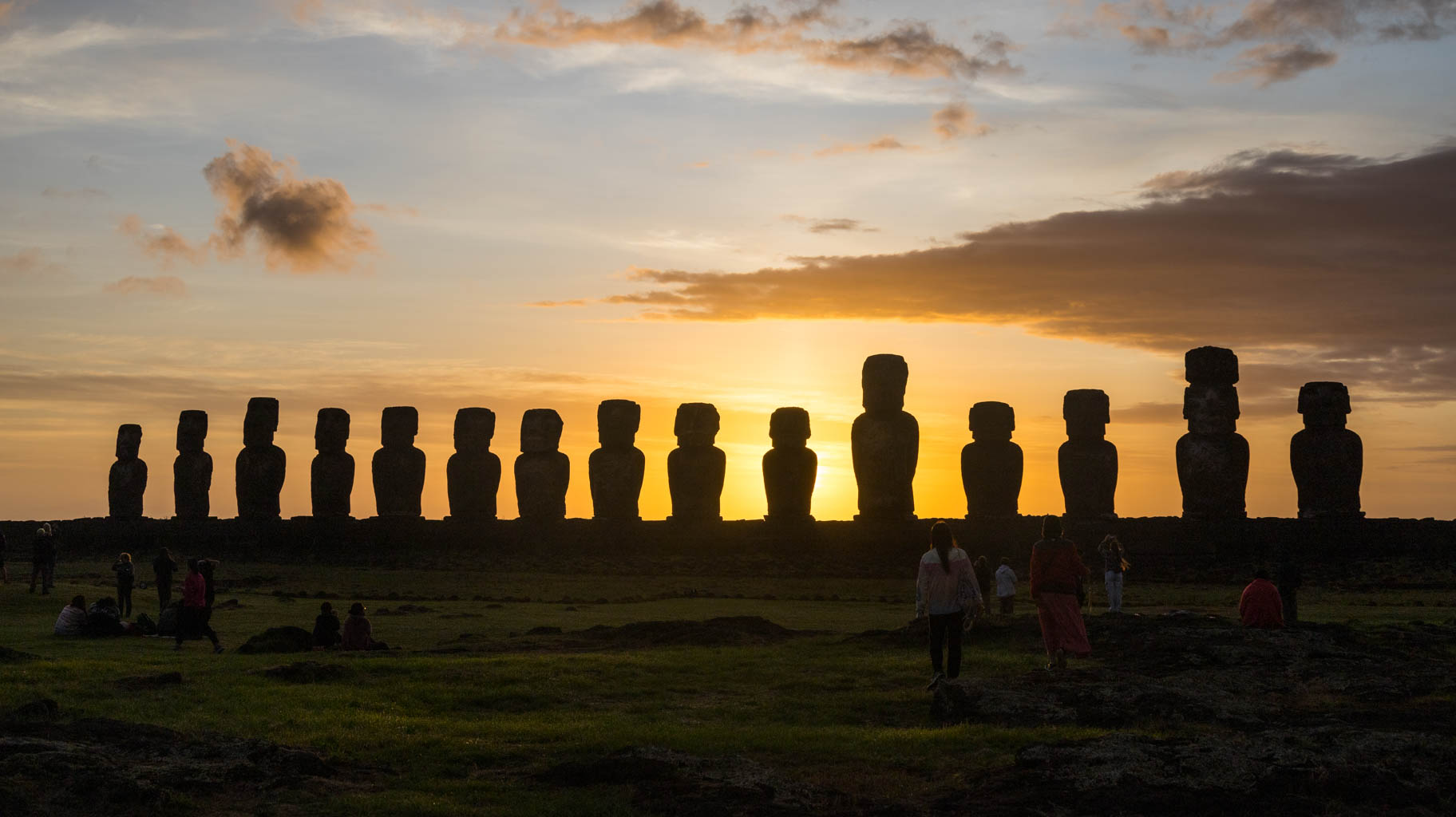
Before 6 AM, a bus from the travel agency arrives to pick us up, and we head east to the Moai platform called Tongariki on the western side of the island. This trip costs $35 per person and the program only includes this one stop, but the attraction is worth the price.
We spend over an hour here, during which the dark, starry sky begins to brighten, turning orange, and finally, the sun rises behind the statues.
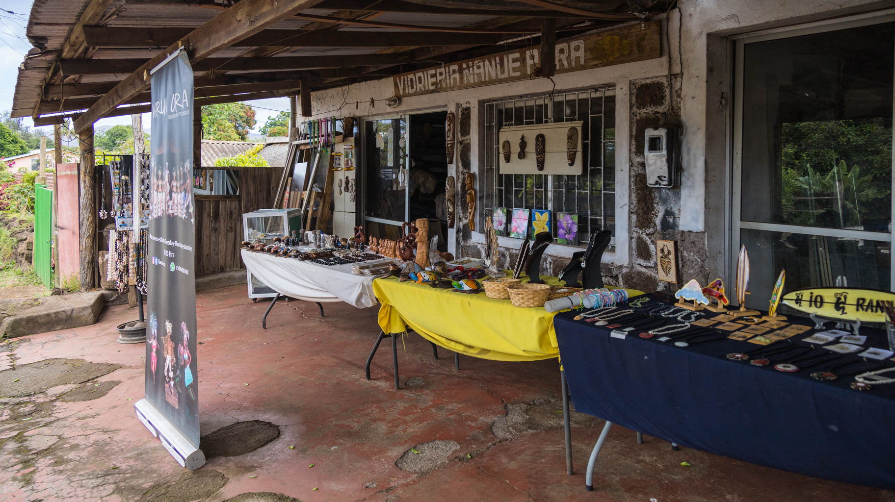
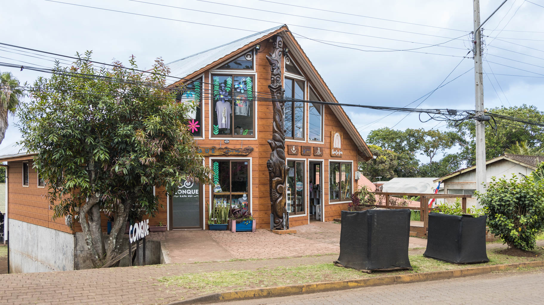
After returning to the apartment and resting, we head to the center to buy souvenirs. Of course, I bought a mini Moai statue for my collection, Rapa Nui t-shirts, a mask, and fridge magnets.
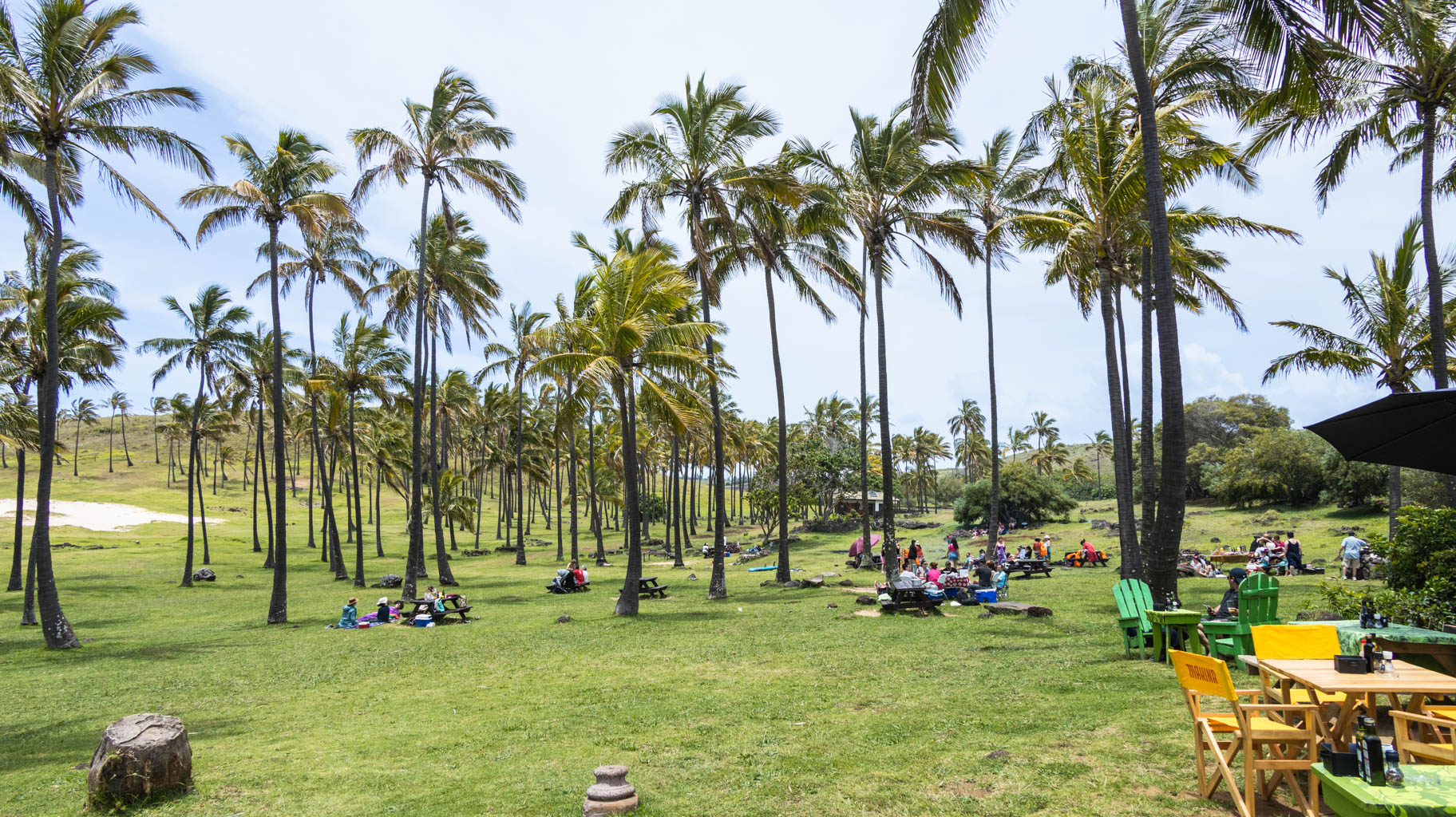
After a successful shopping trip, we go on a bike tour to the other side of the island, to Anakena Beach, the same beach we visited during the organized tour. It's 18 km one way, so we have to cycle a total of 36 km.
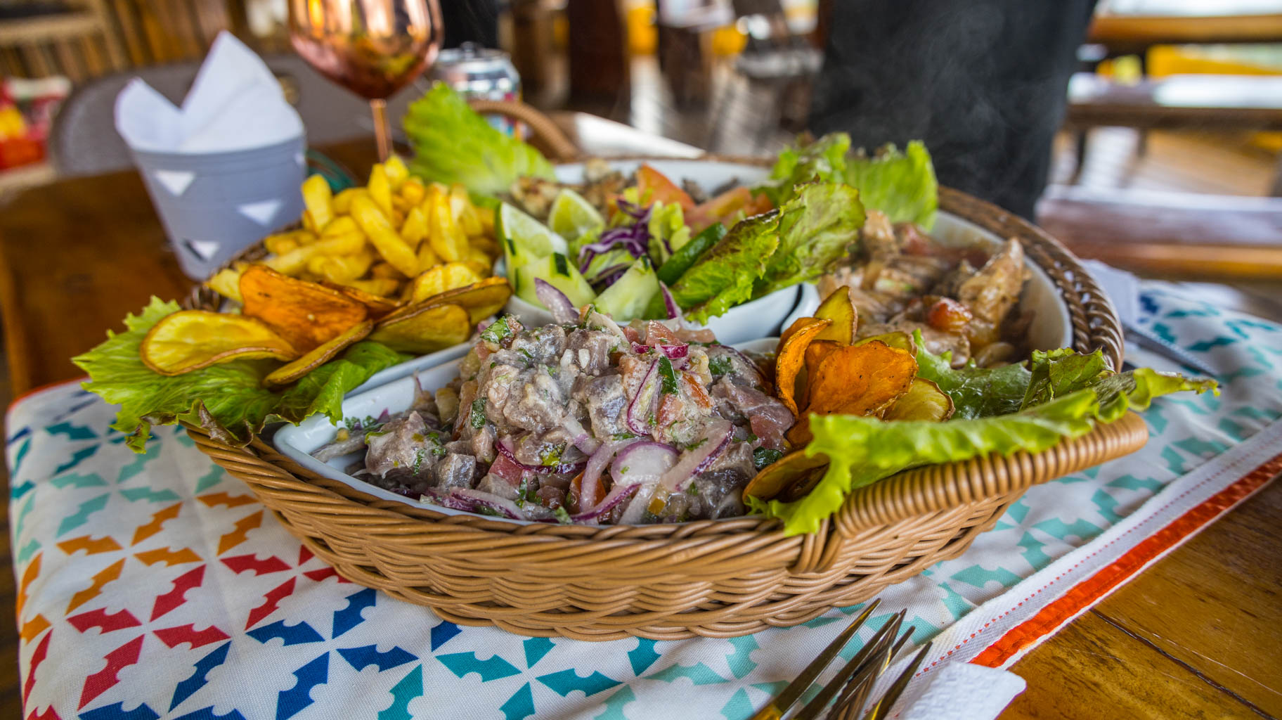
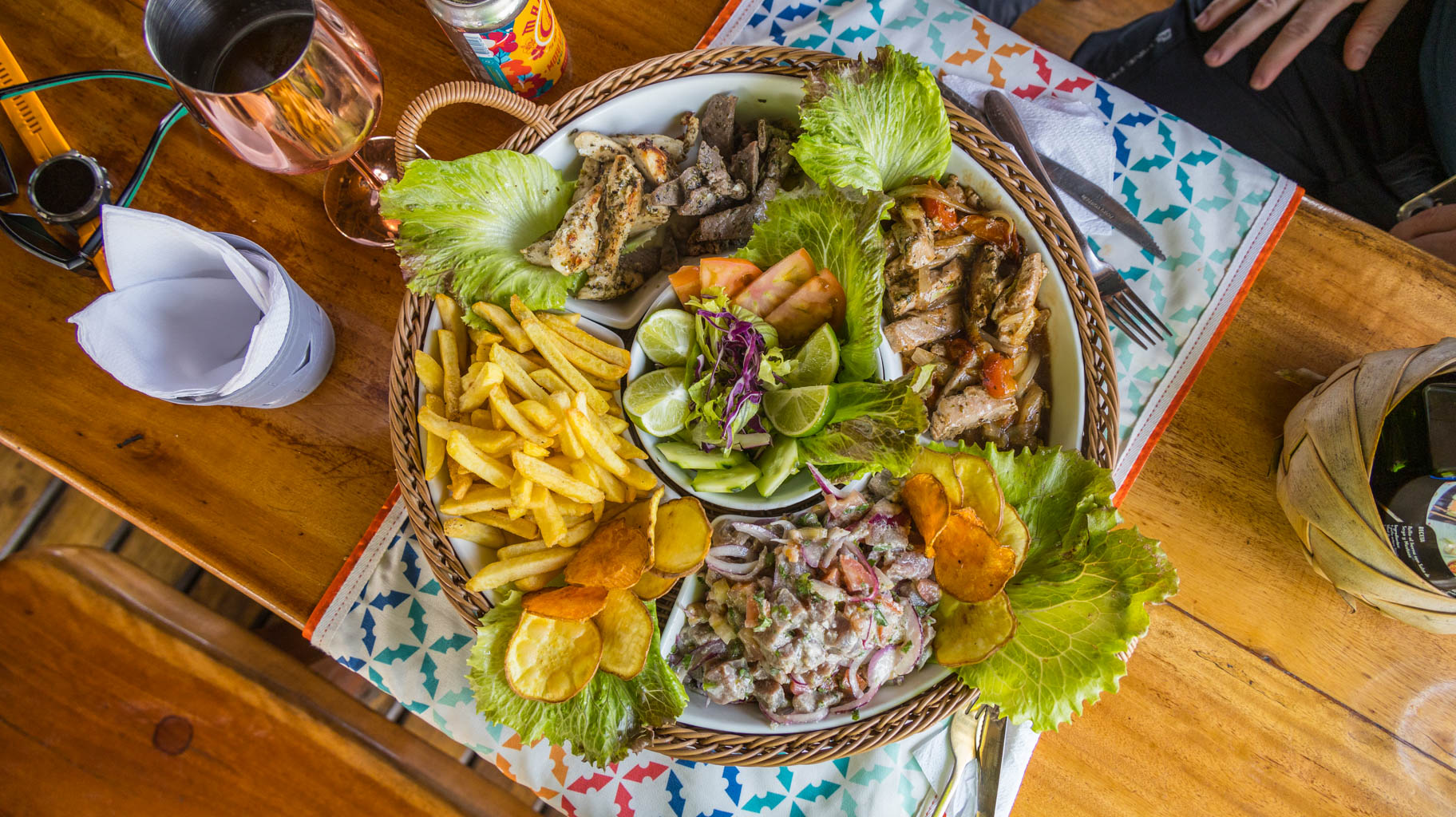
At one of the two local restaurants, we order a "mix platter", which is a combination of chicken, beef, and raw fish, supposedly a typical dish here.
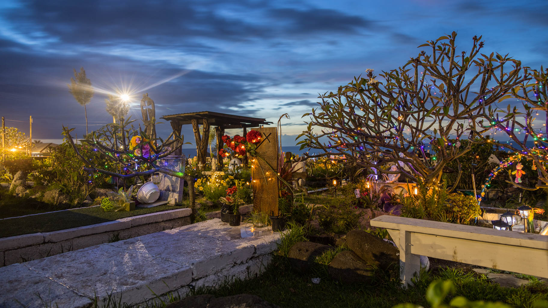
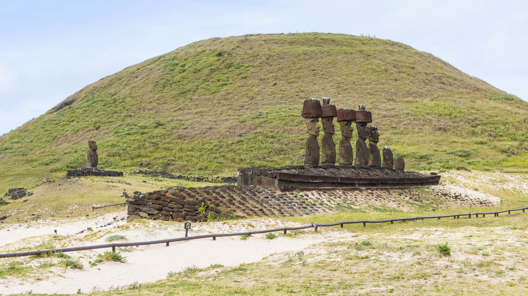
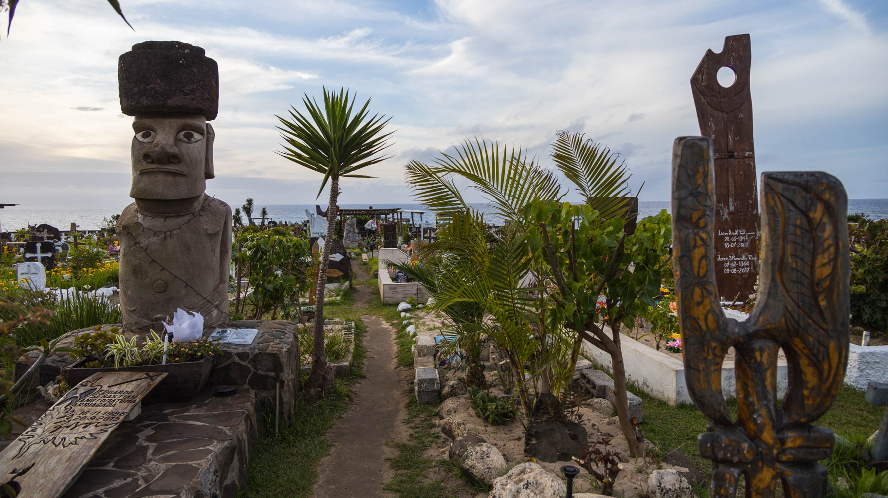
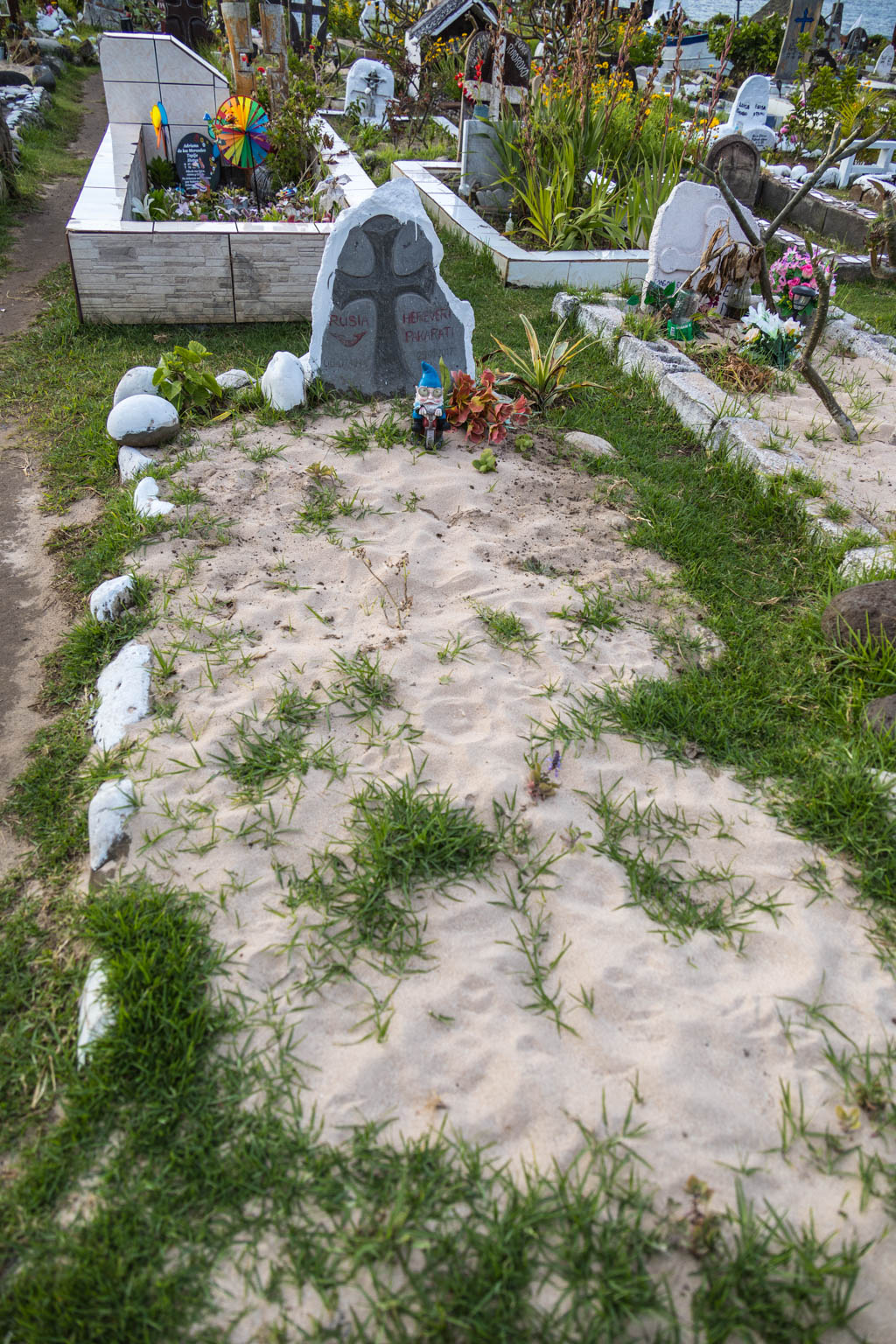
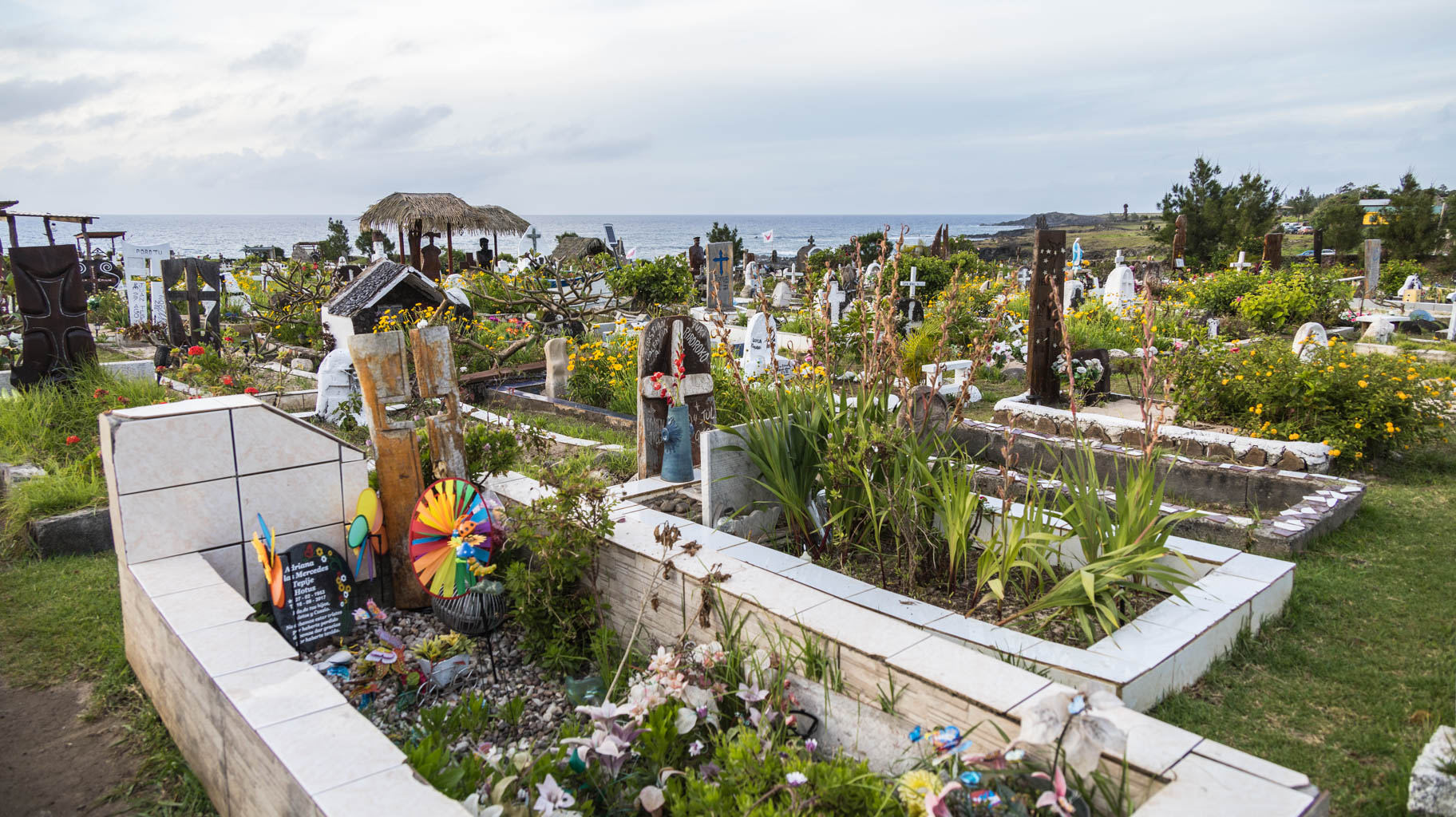
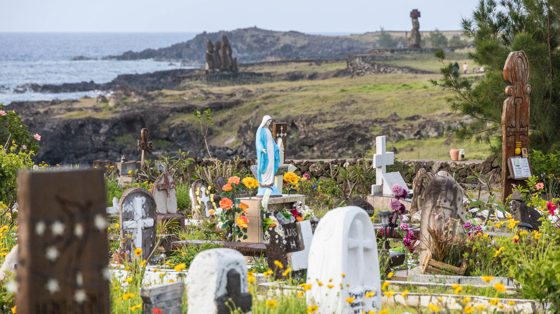
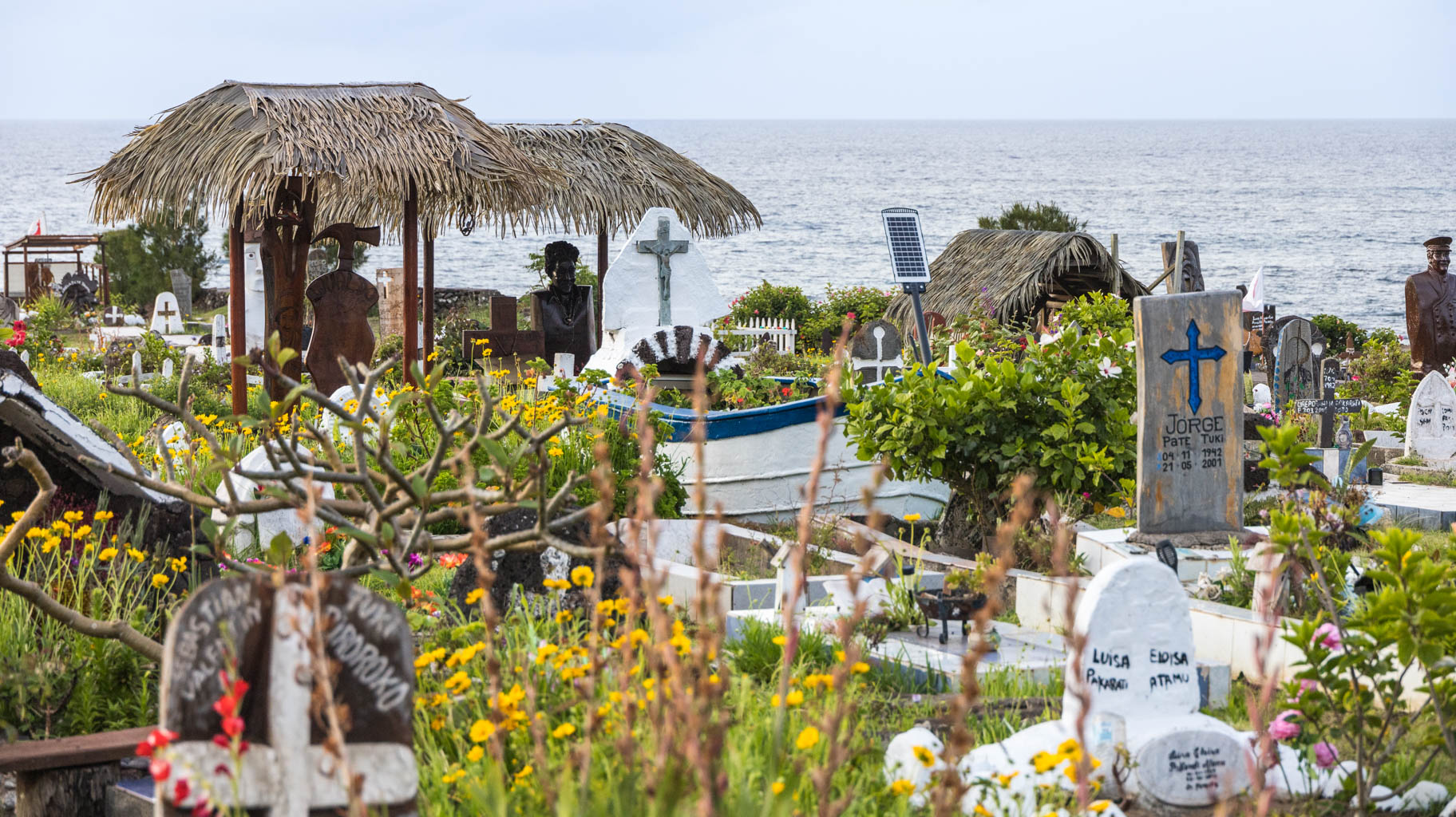
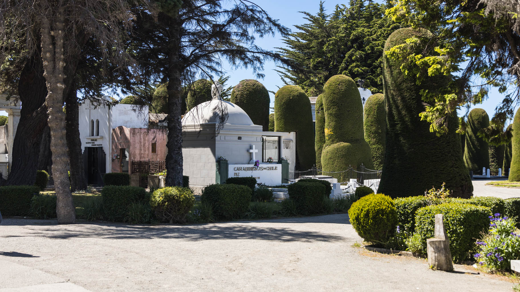
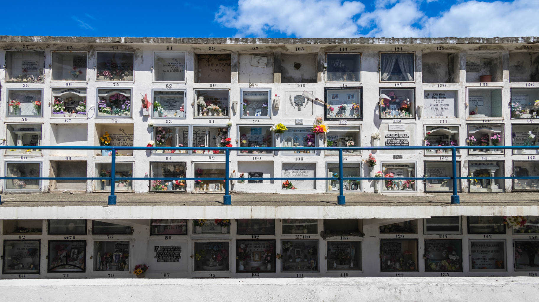
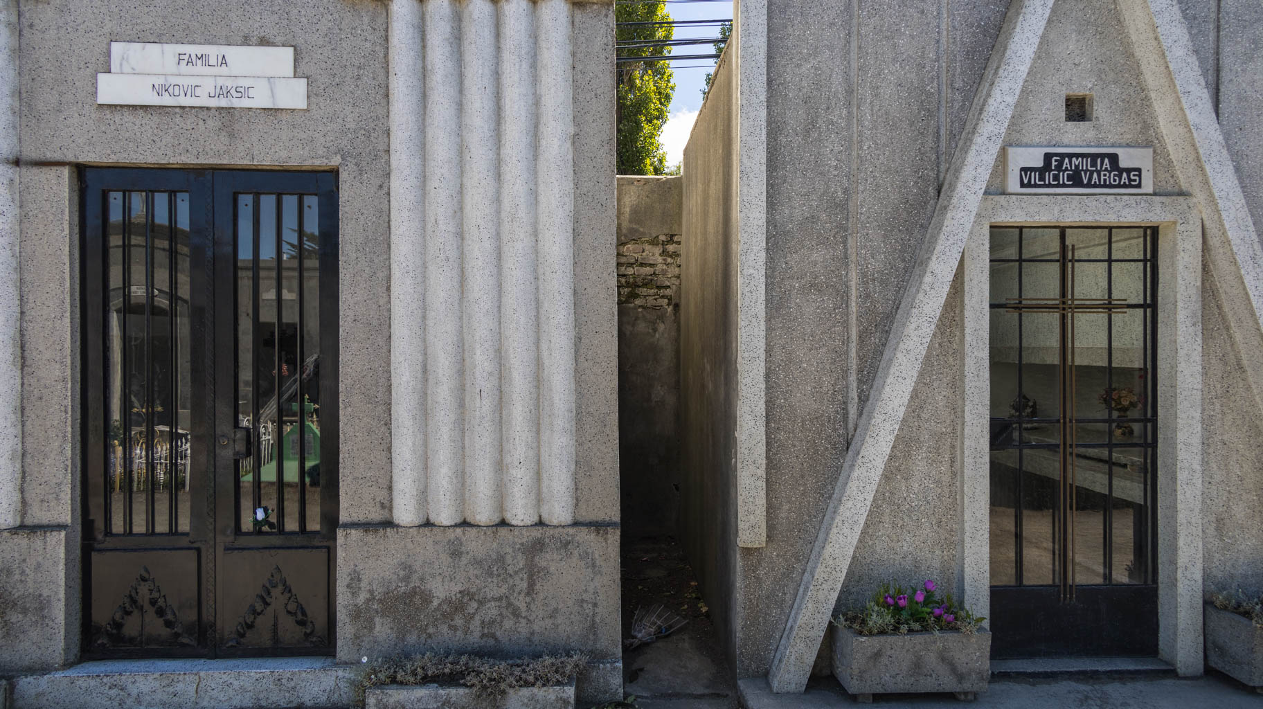
We take a short walk on the beach, where another Moai platform stands, and after the walk, we return to the city, stopping by the city cemetery, which looks quite different from those in Europe. The graves are decorated with flowers, candles, and lights, almost like houses decorated for Christmas.
Also, the creativity with which the monuments are built is striking. For example, one of the graves has a large Moai statue, and another grave looks like a boat.
Time flies relentlessly, and the moment has come to say goodbye to this unique and magical island. It certainly left a huge impression on me and my travel companions.
After breakfast, we return our bikes and pack our backpacks. At 12:30 PM, our hired taxi arrives to take us to the airport.
Check-in goes quickly and smoothly. Before long, we’re at the only gate. Since all passengers checked in ahead of time, we even manage to depart about fifteen minutes early.
After a little over four hours of flying, we land in Santiago. From the same terminal, we have our next flight to Punta Arenas in Patagonia in eight hours.
The night was rough because, while spending the night at the airport, the airline canceled our flight to Punta Arenas. After a few minutes, they offered to rebook us on the next available flight—two evenings from now—which would put our trek in Patagonia in serious jeopardy.
On the verge of panic, we go to the airline counter and explain to the staff that we have a booked trekking trip, and if we don’t get there by the morning in two days, we’ll lose the $700 we paid and miss the main highlight of our entire expedition.
After about fifteen minutes on the phone with her manager, the agent hands us boarding passes for a flight only two hours later than the one that was canceled. We breathe a sigh of relief.
We won’t be sleeping tonight.
We take off at 5:55 AM and manage to get some sleep during the four-hour flight.
After landing, we head to the car rental desk and take care of all the formalities. A quick warning for anyone planning to rent a car here: only credit cards are accepted, and the security deposit blocked on our account was nearly $3,000—so it’s worth keeping that in mind before the trip.
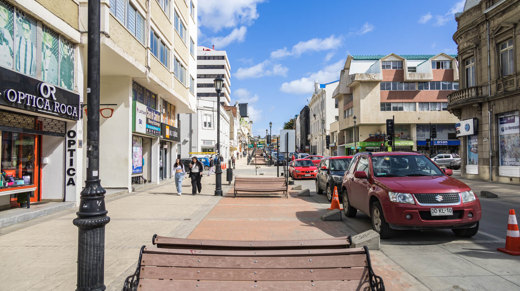
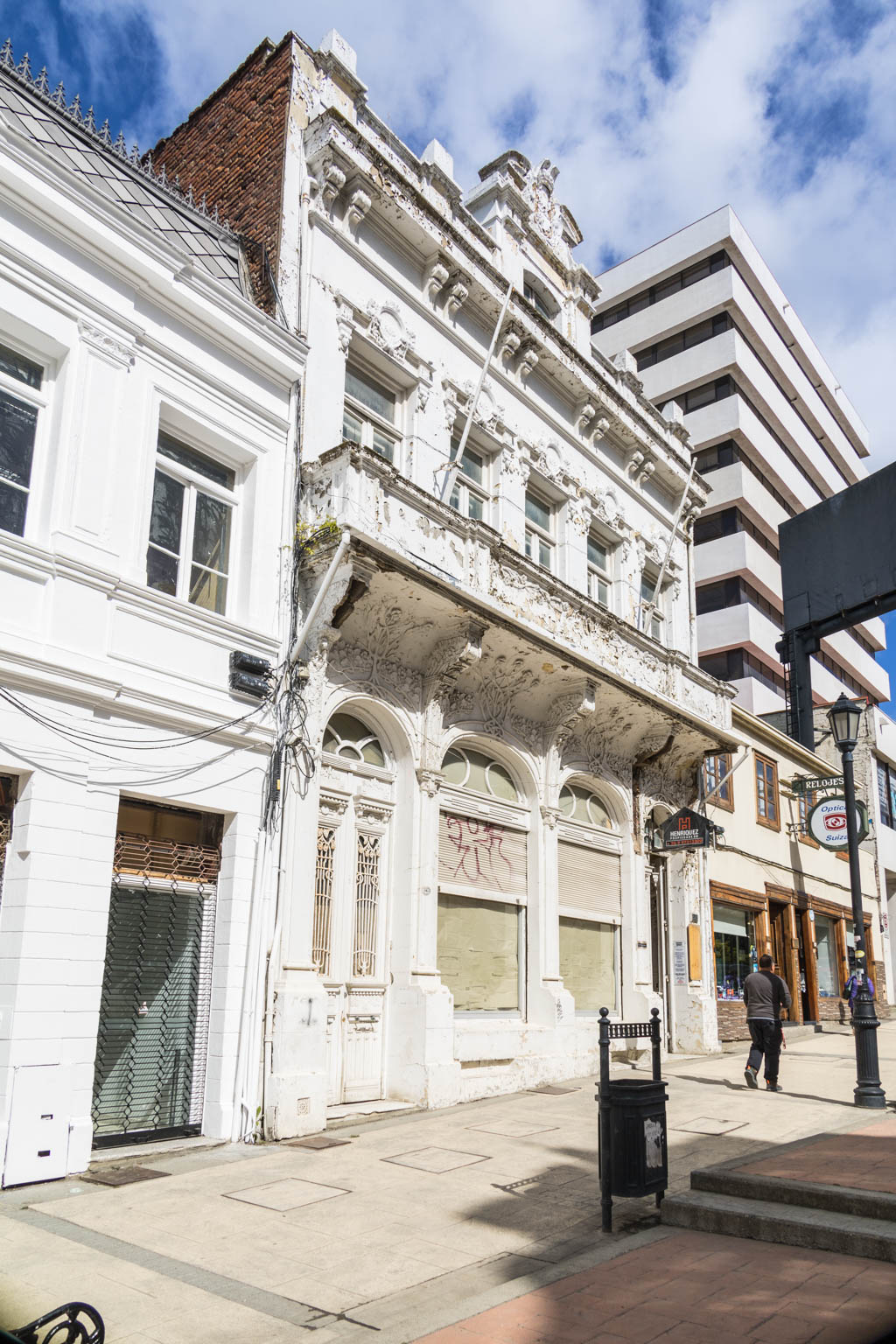
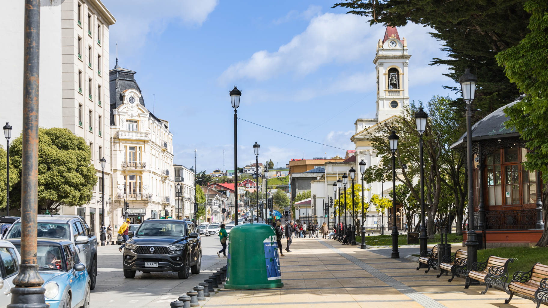
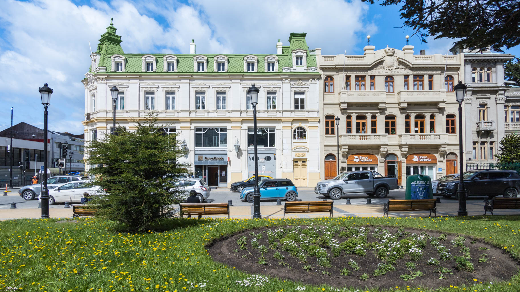
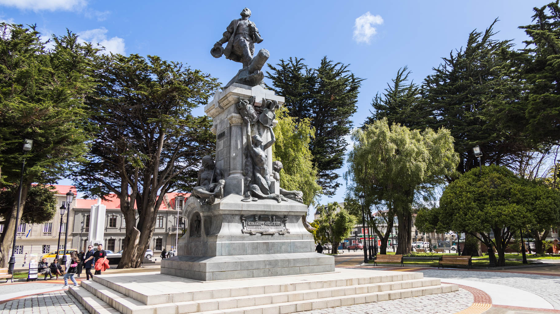
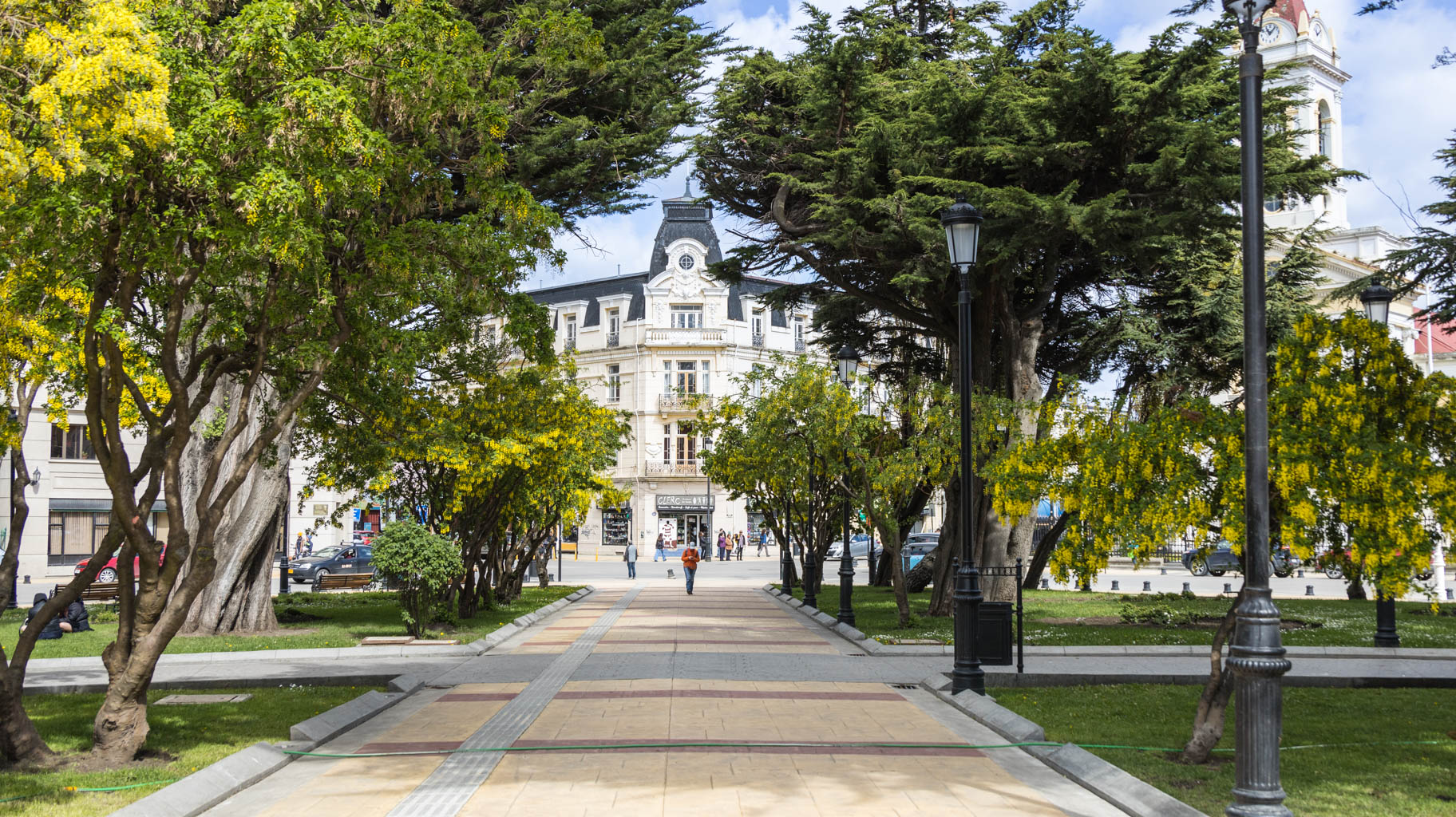
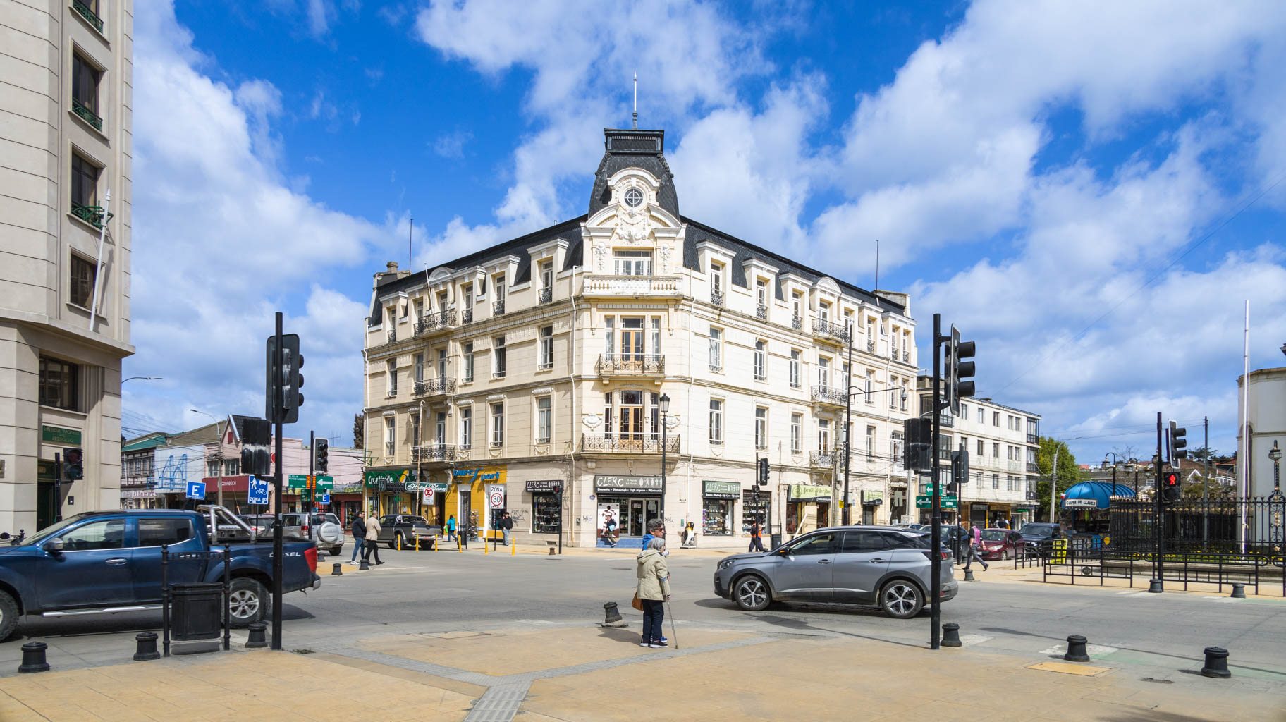
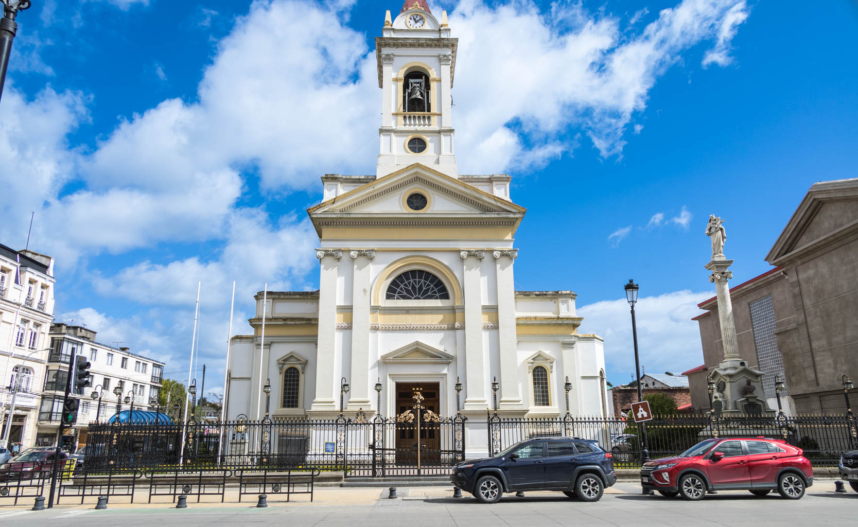
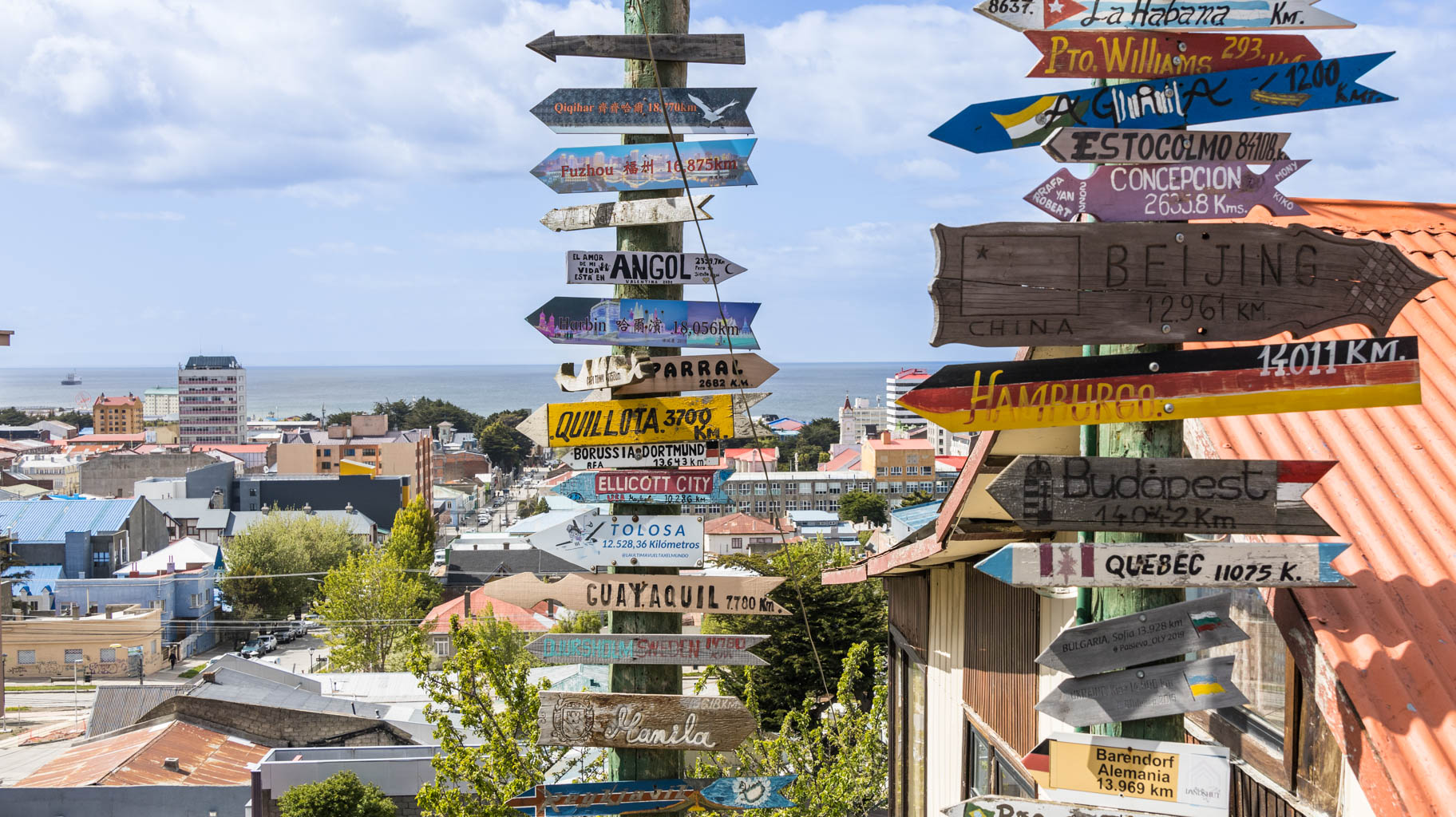
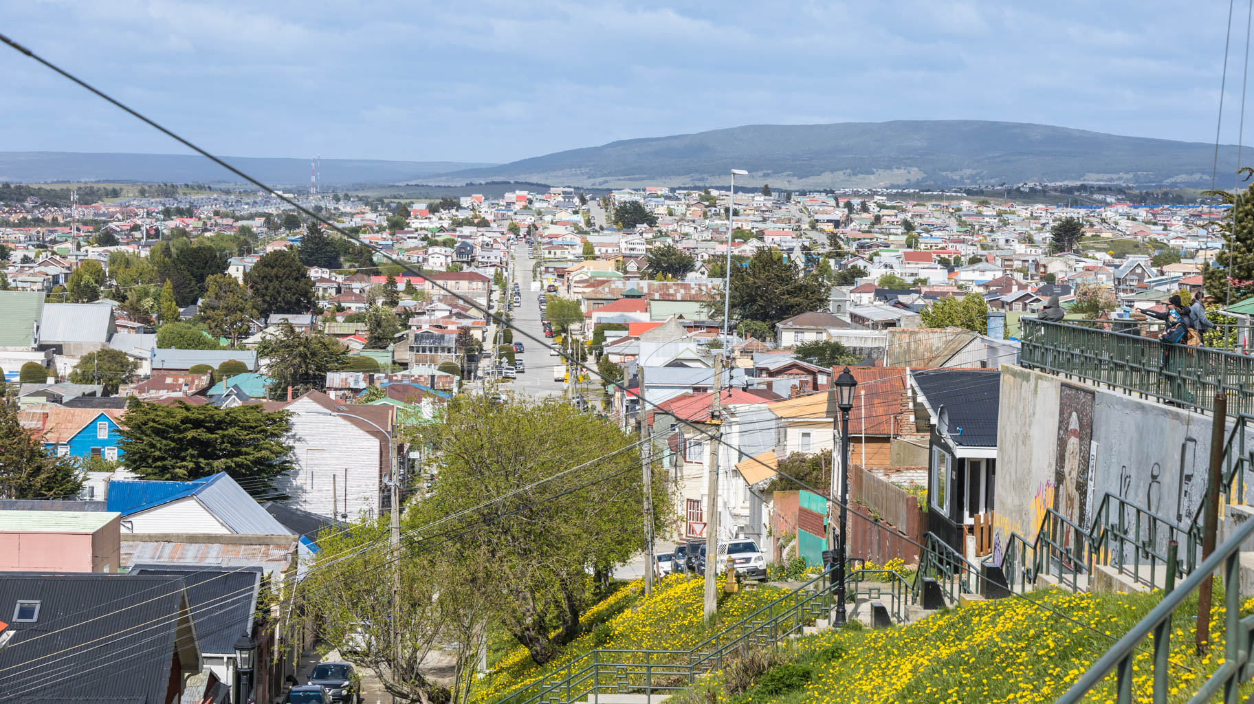
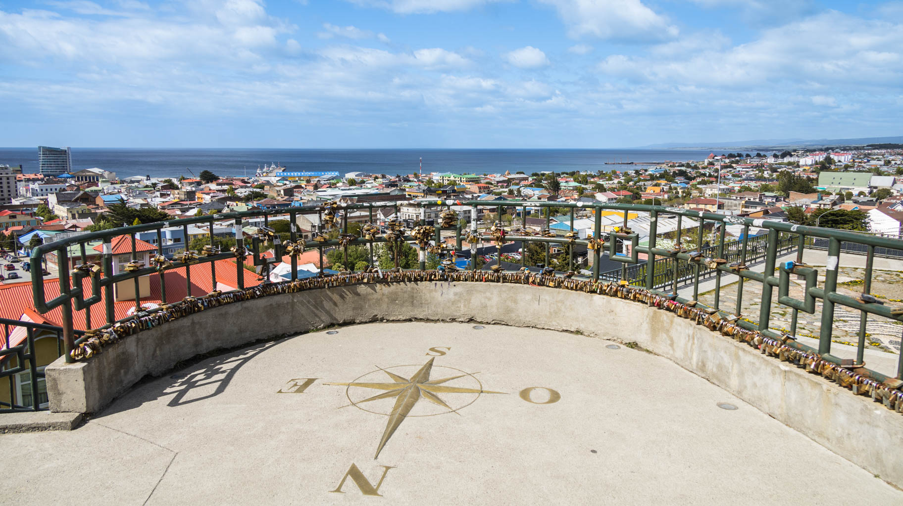
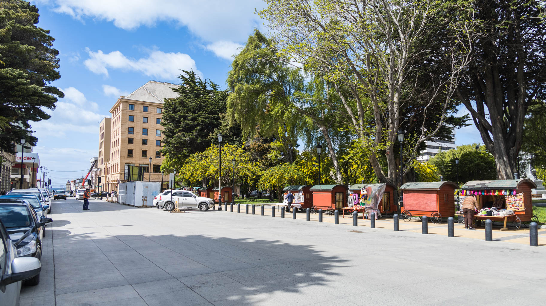
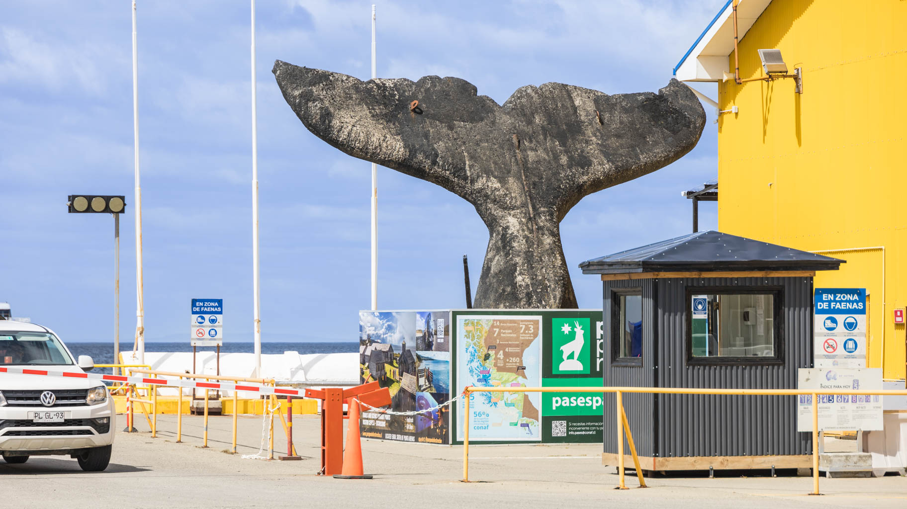
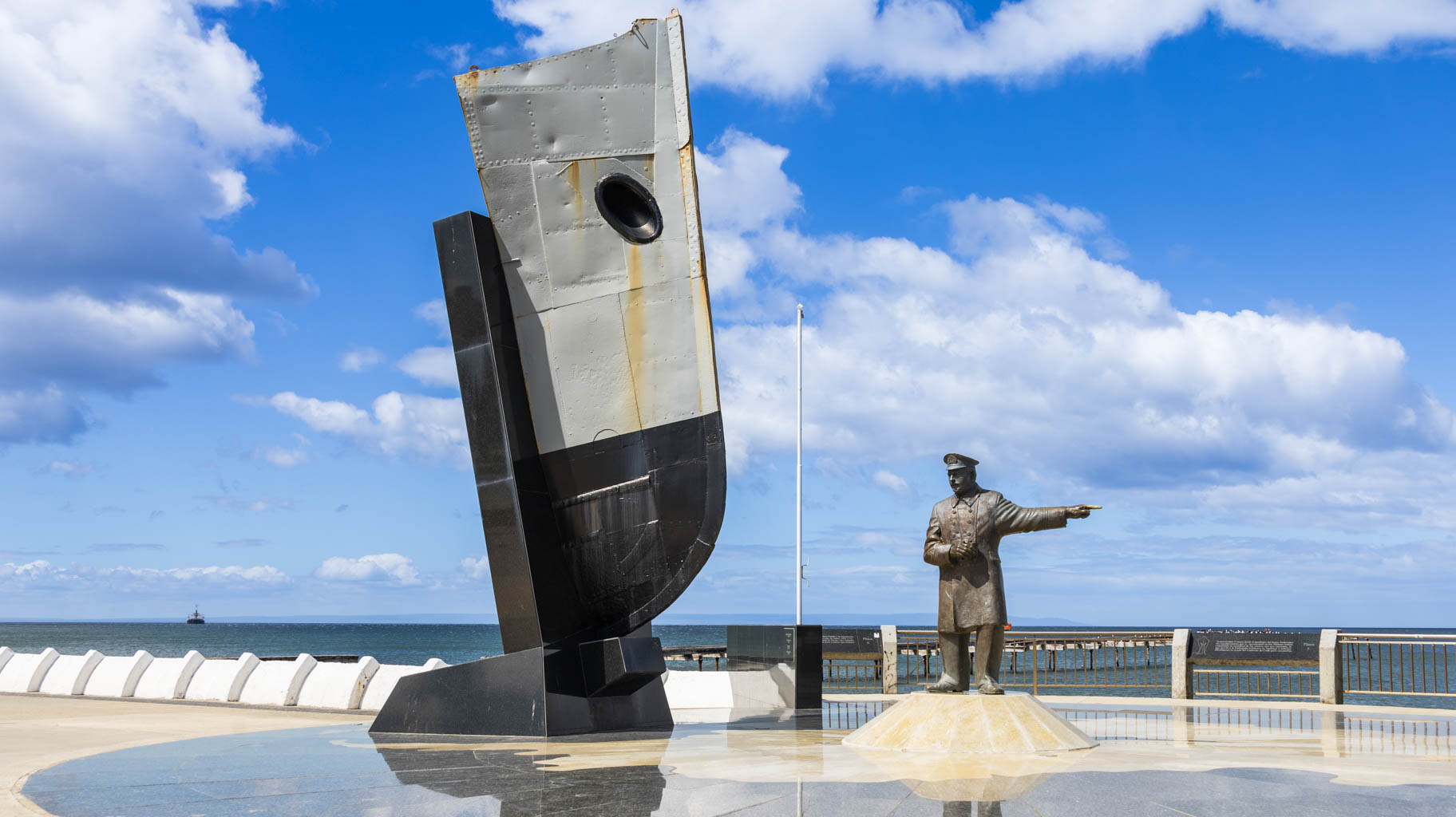
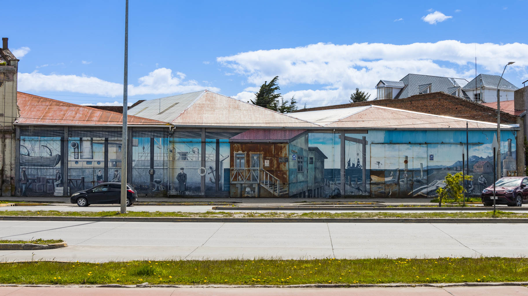
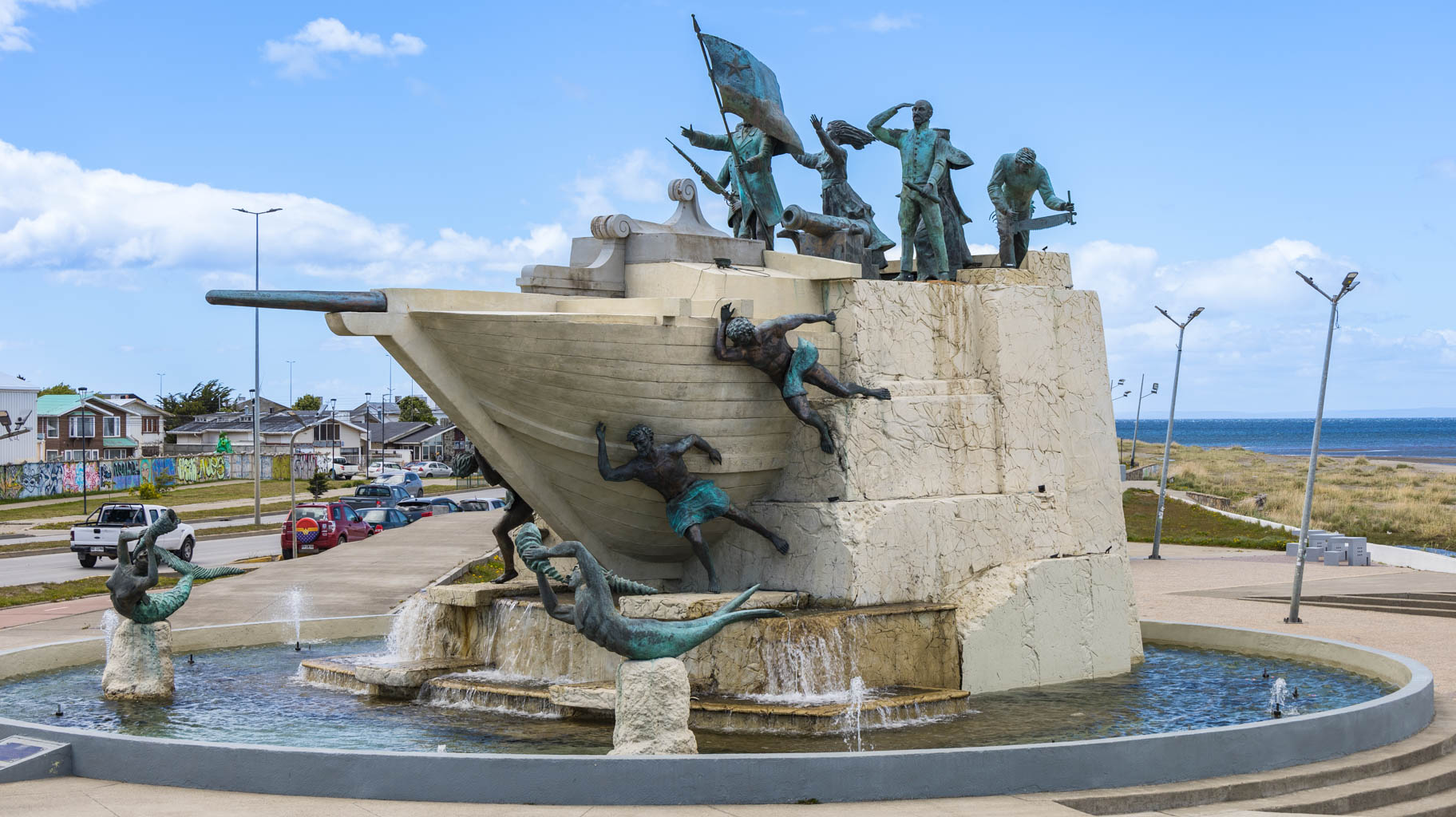
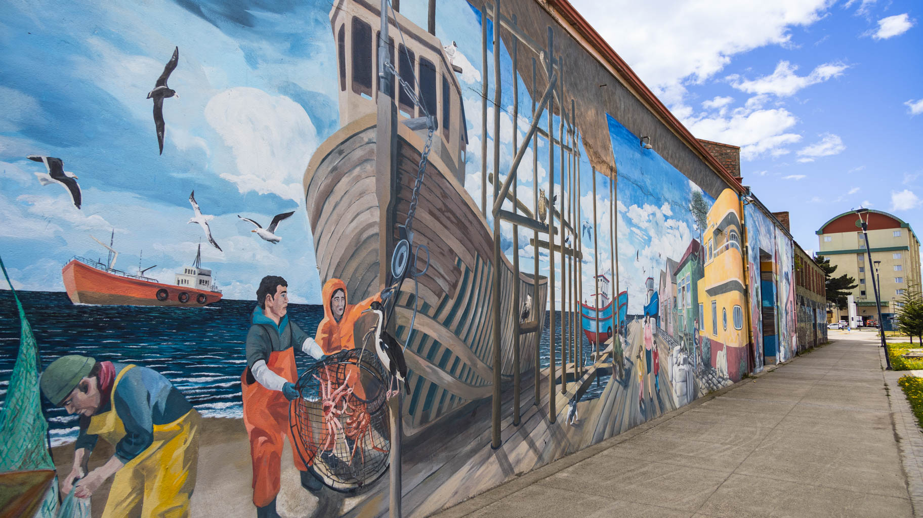
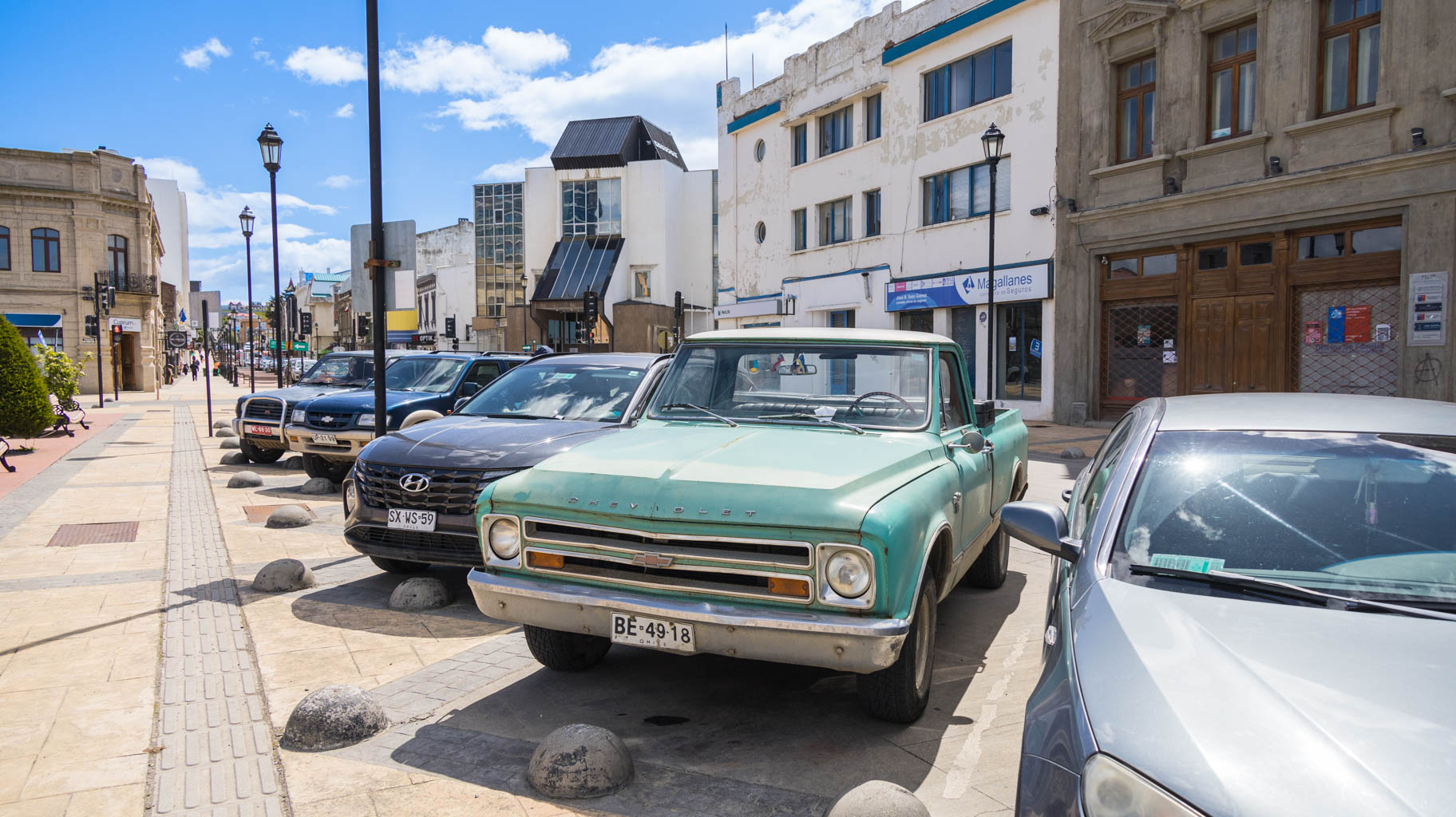
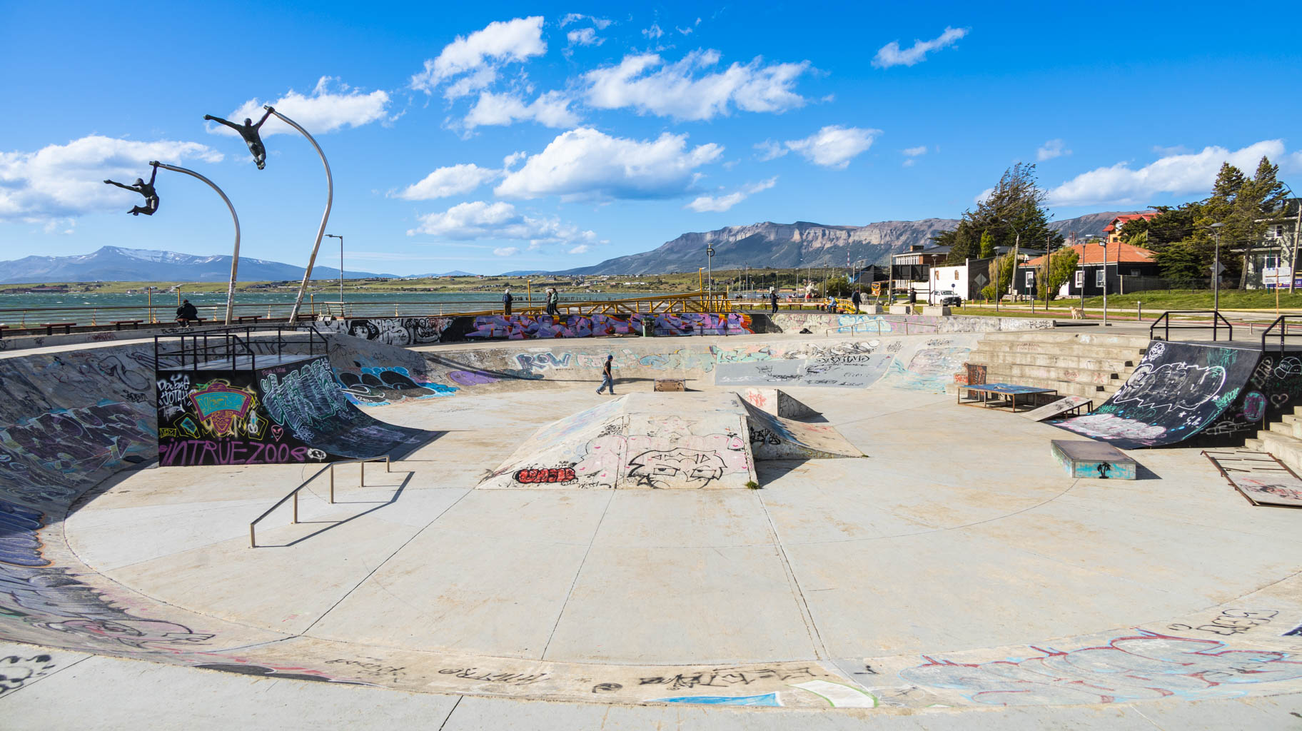
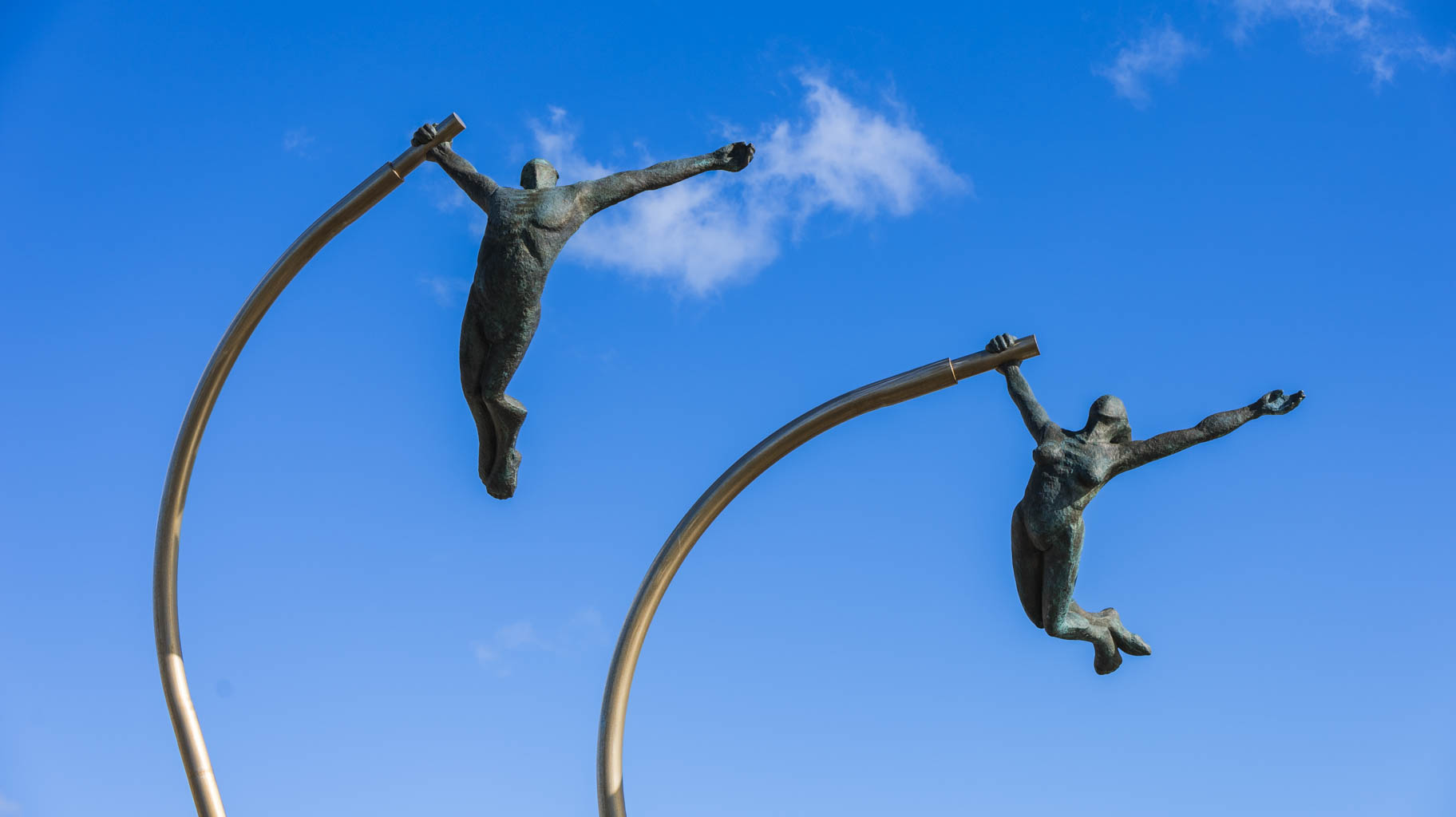
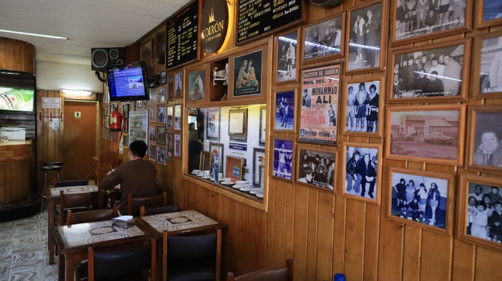
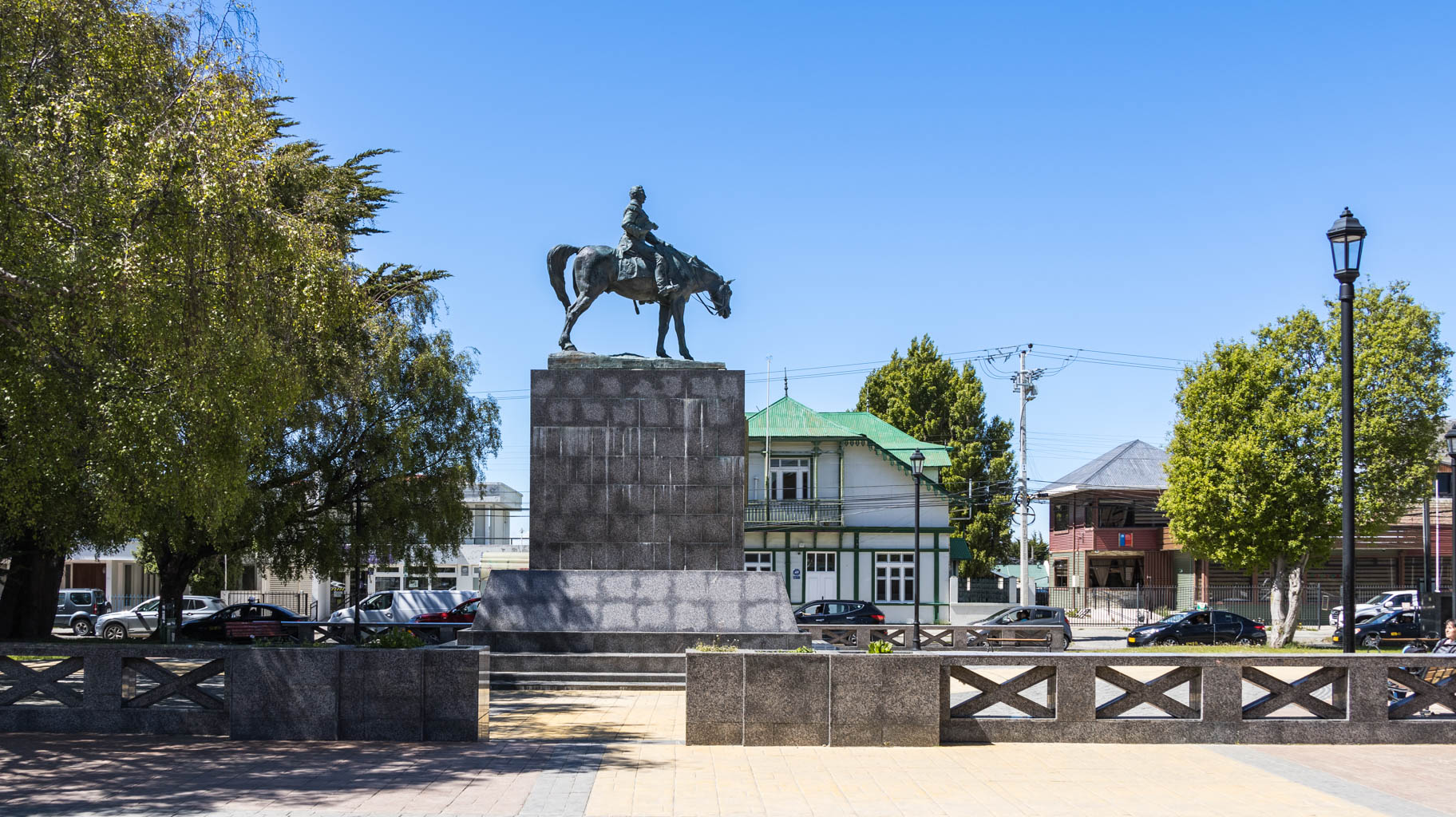
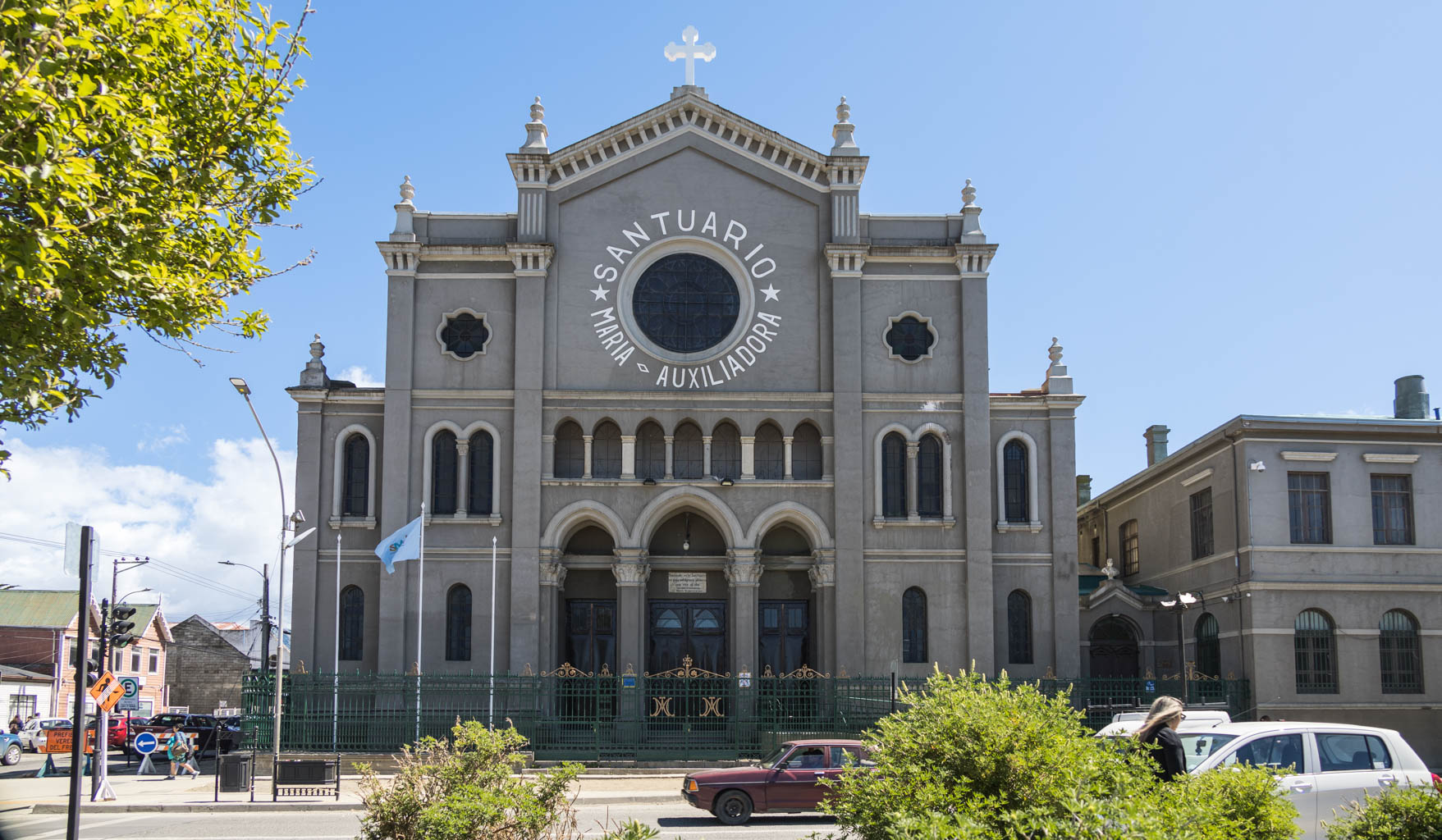
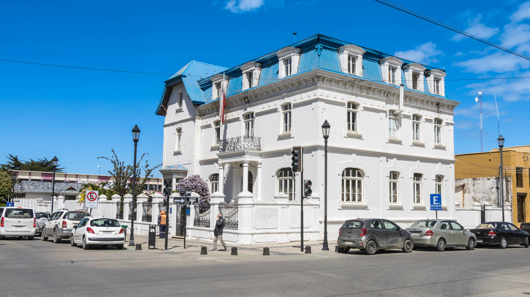
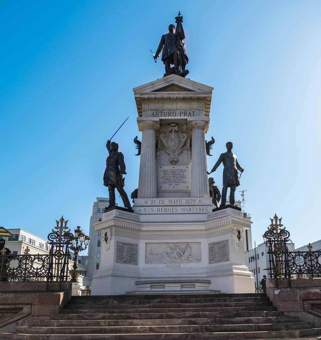
Our first stop is downtown Punta Arenas, where we take a walk through the city center, including the main city square, Plaza de Armas, a hilltop viewpoint, and then along the coast where there are several attractions.
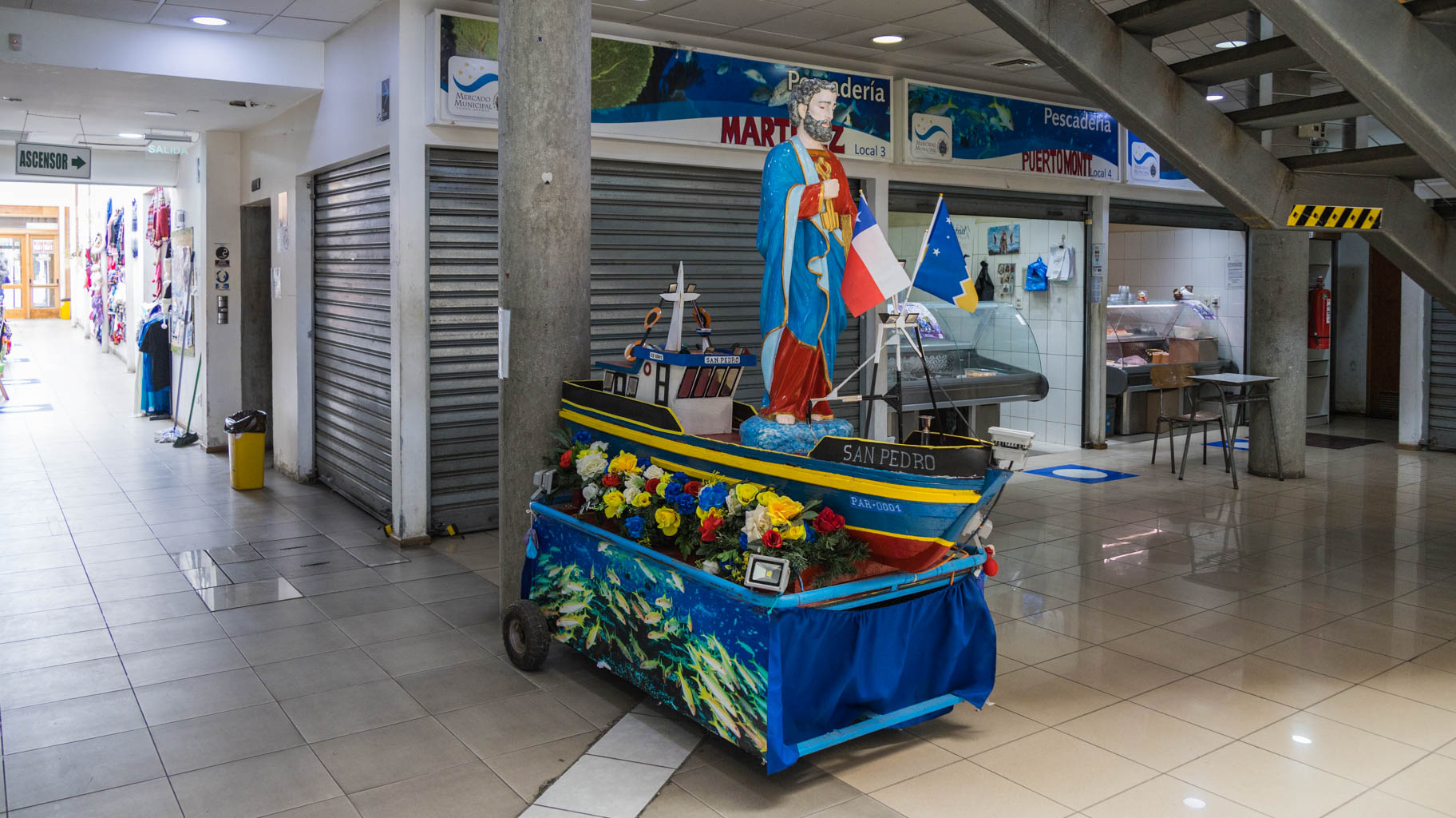
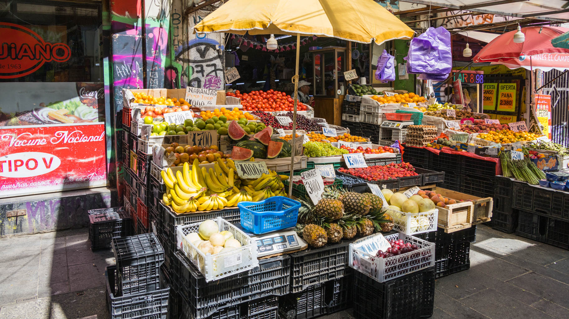
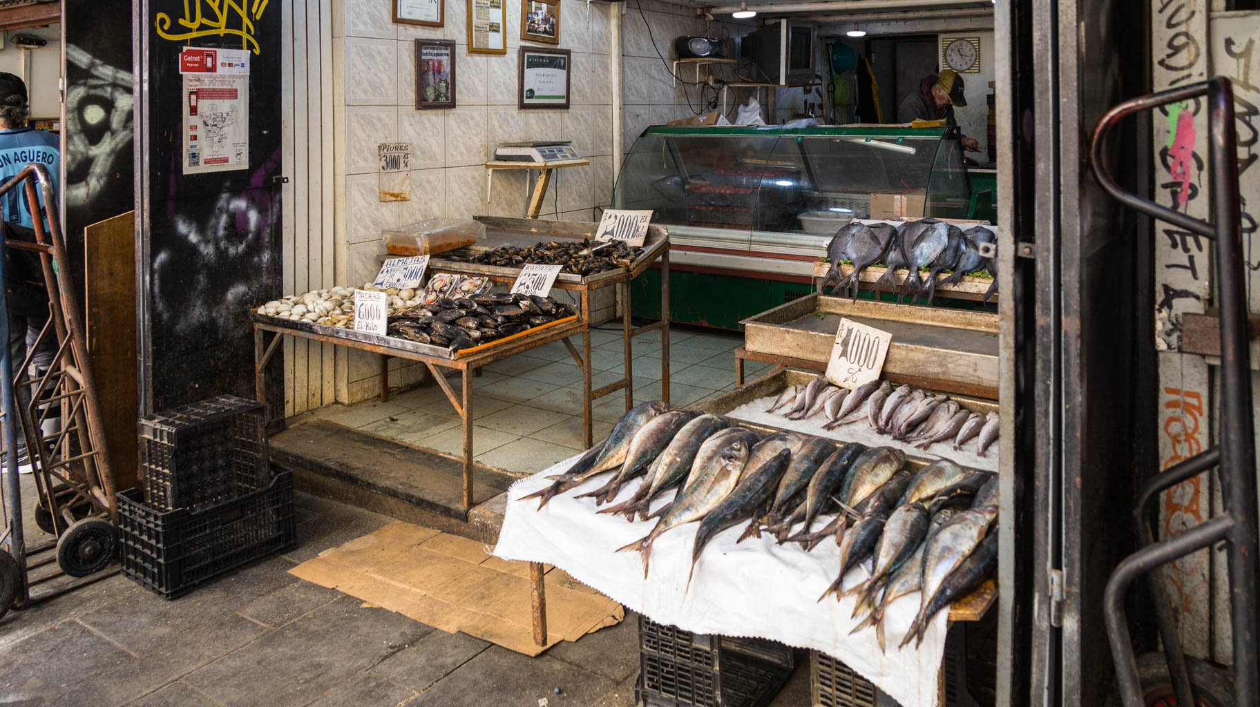
Near the port, there’s also a small shopping center with stalls selling souvenirs, fish, clothing, and a few restaurants.
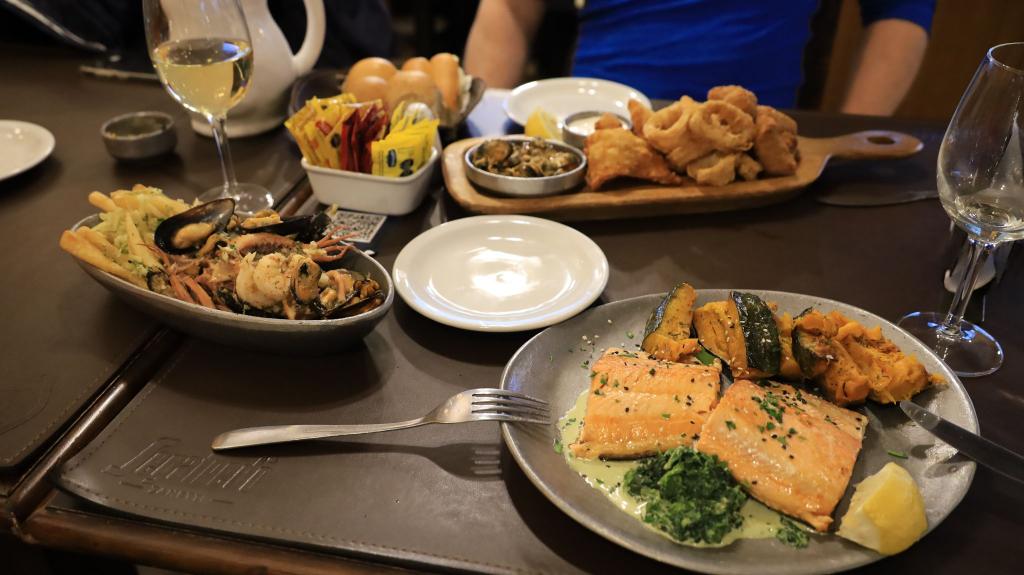
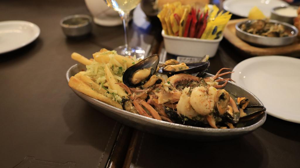
At one of the restaurants, we order Jardin de Mar (Sea Garden), which is a platter of... raw seafood (shrimp, oysters, crab, and pieces of fish served with a sauce containing bits of onion). Raw seafood is very popular here, though we didn’t find it entirely to our taste.
We also order Salmon Ceviche and Empanada mixto con camarones—an empanada stuffed with, among other things, shrimp.
Although the dishes weren’t really to our liking, it’s still worth trying the local cuisine—it’s part of the adventure of discovering new flavors and cultures.
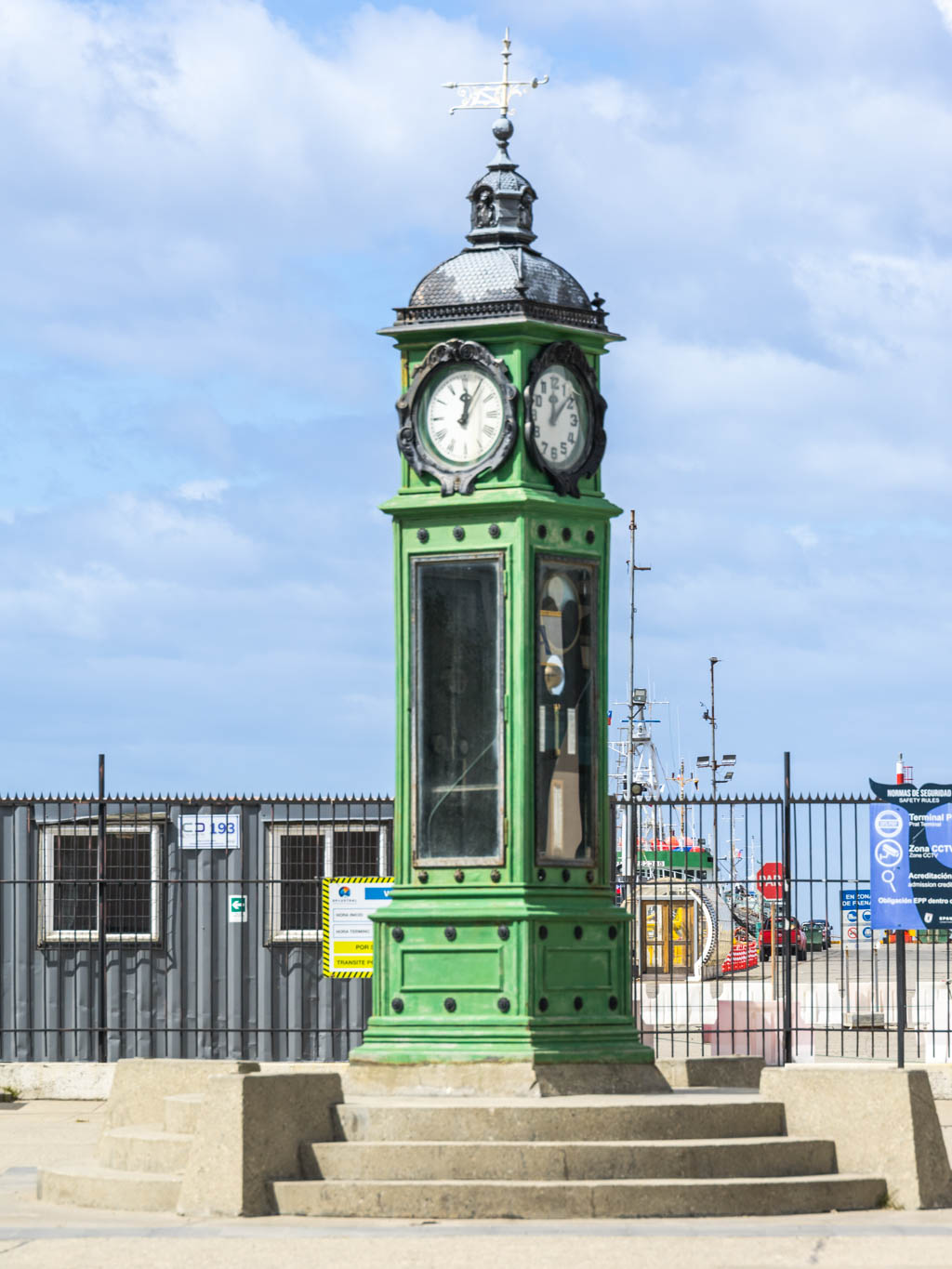
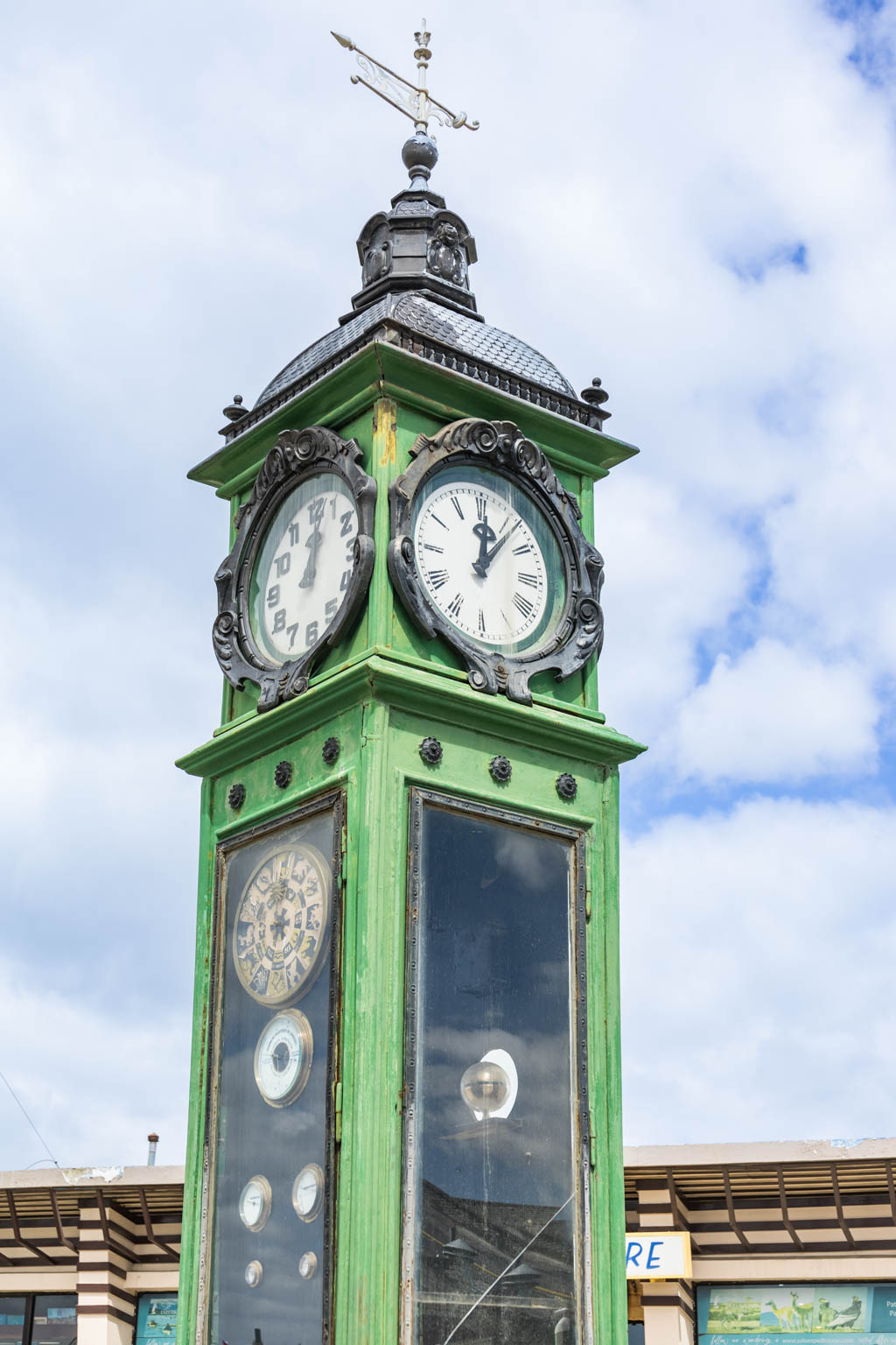
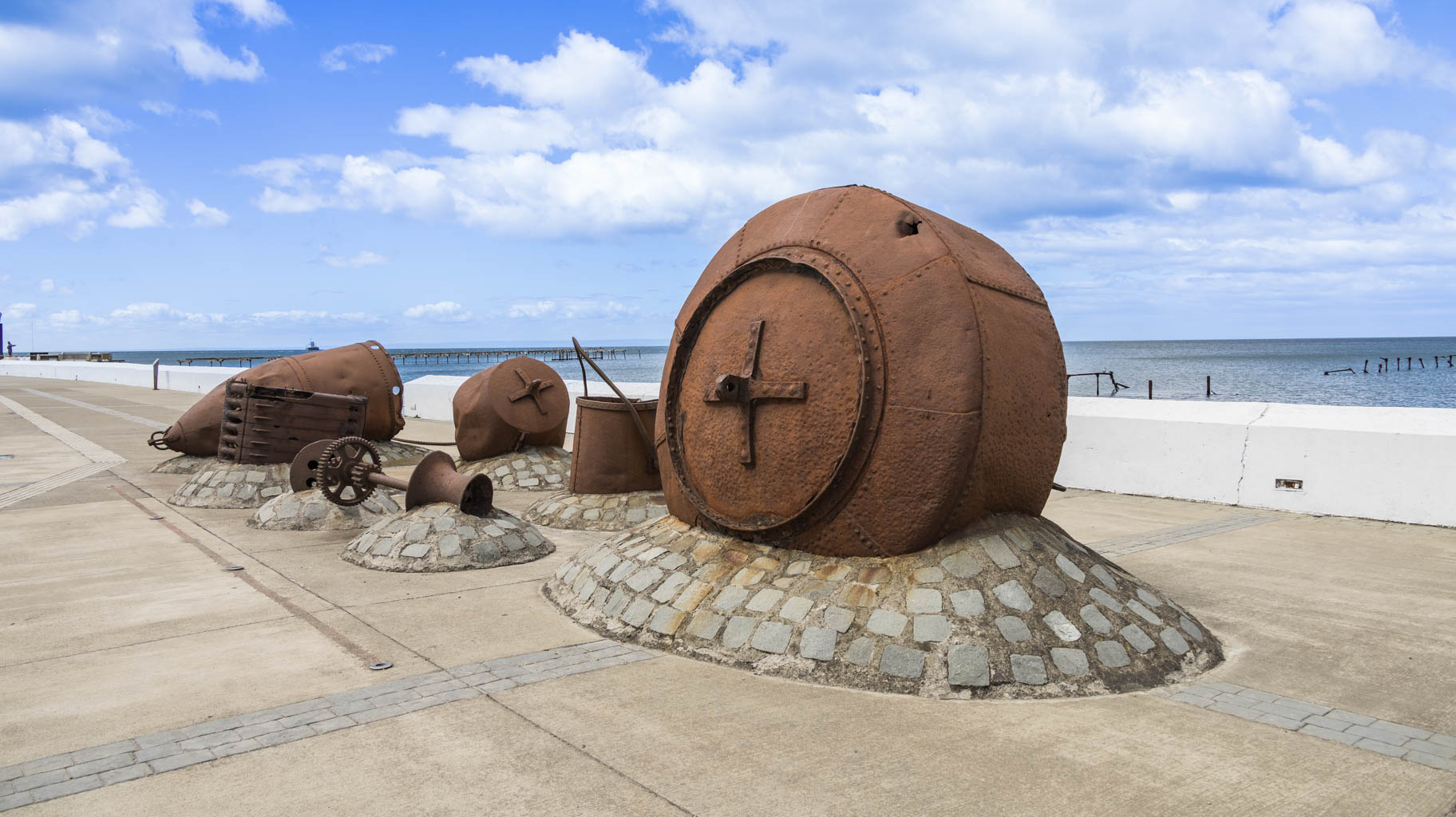
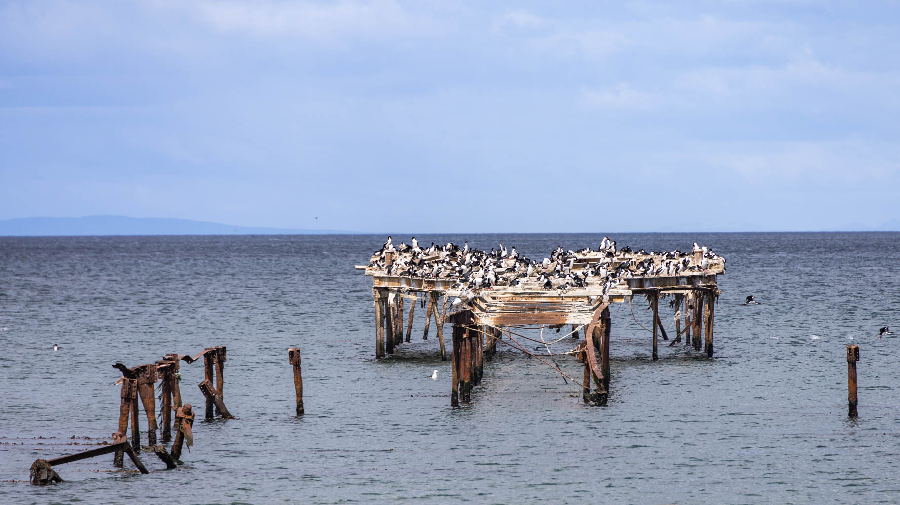
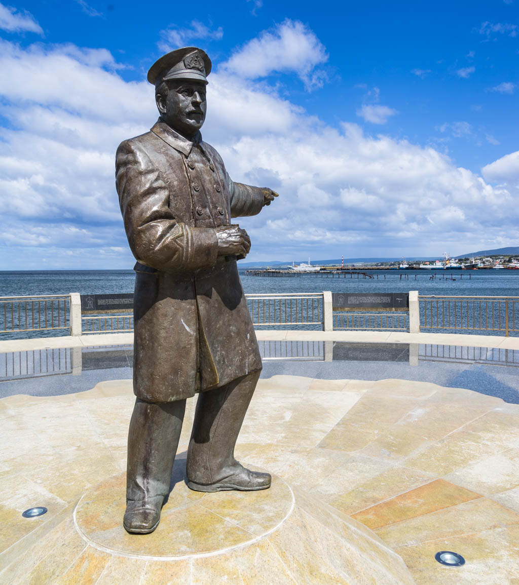
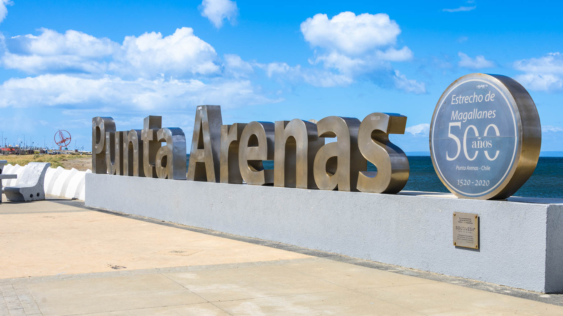
Along the waterfront, you’ll find a historic clock by the Prat pier, the “Punta Arenas” sign, a monument to the crew of the schooner *Ancud*, and a memorial to the rescue mission carried out by Chilean navy pilot Luis Pardo for the crew of the *Endurance* stranded on Elephant Island in Antarctica.
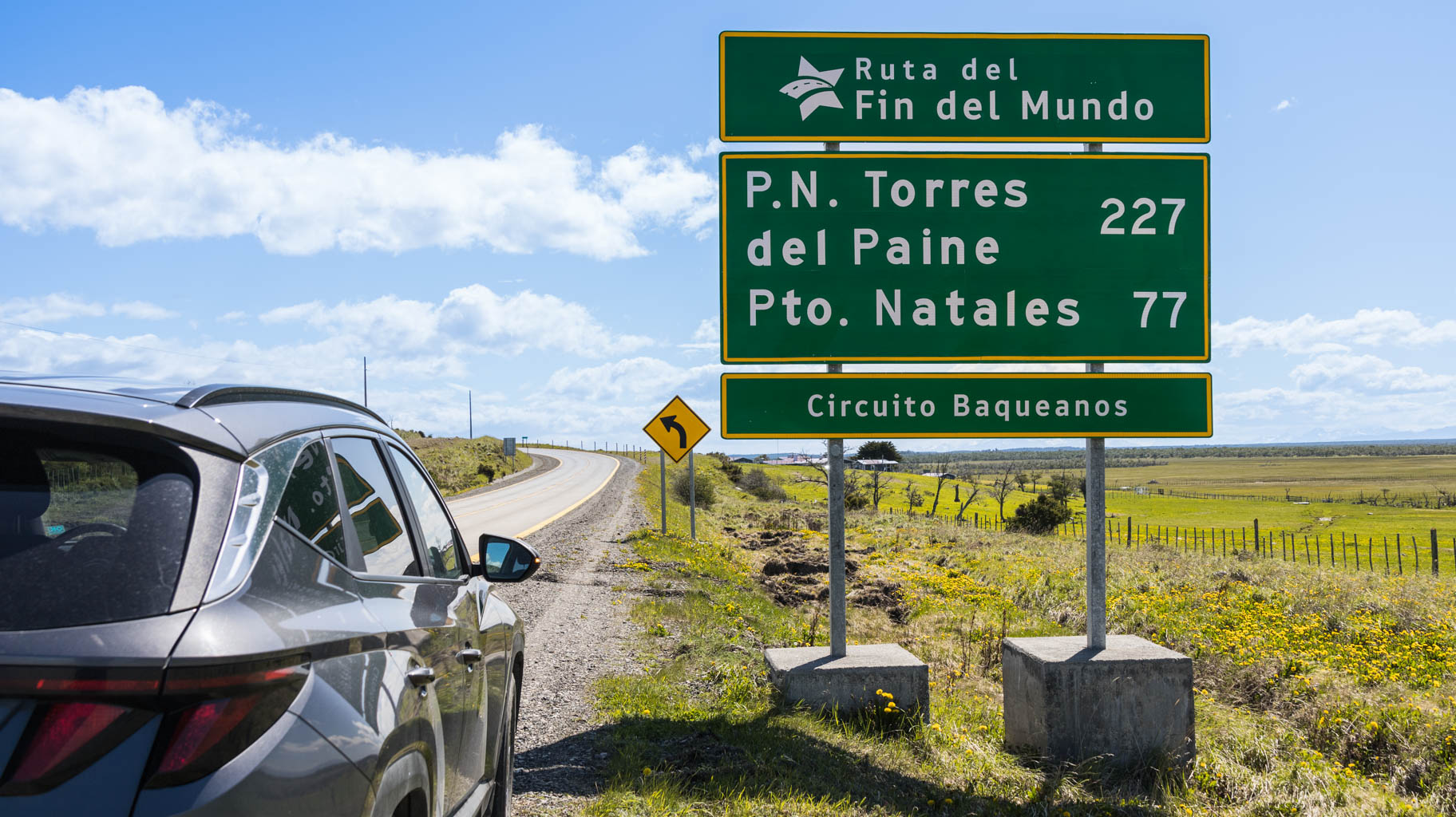
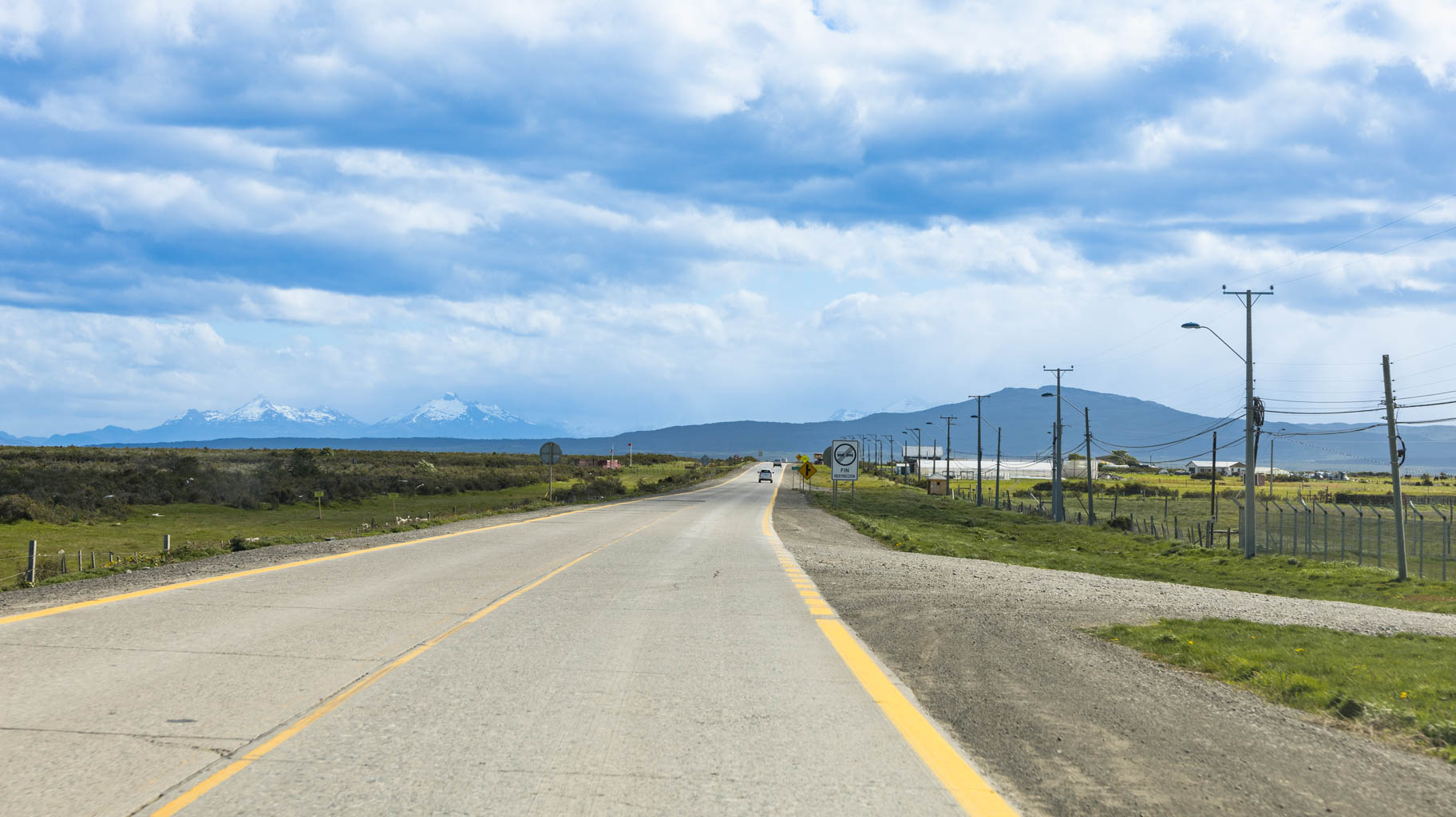
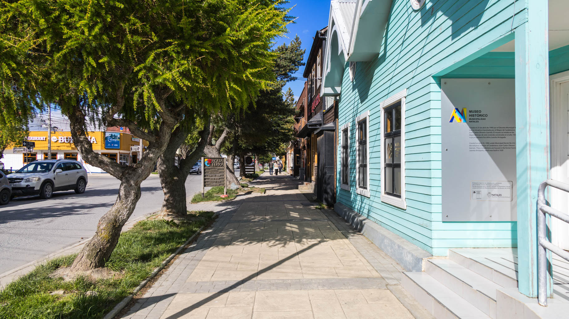
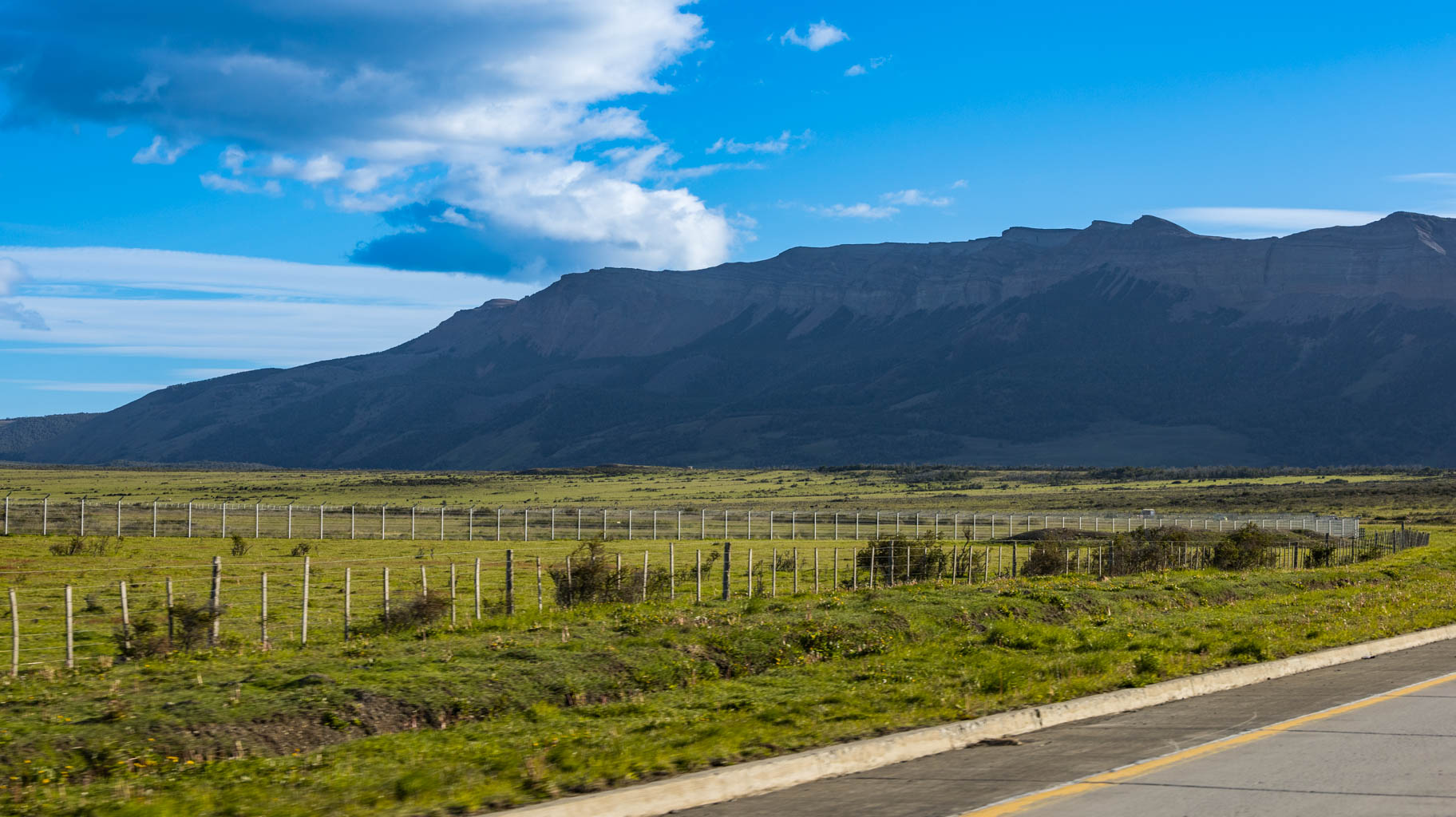
We spend about three hours in the city and then drive another two and a half hours along the "Fin del Mundo" (End of the World) route to Puerto Natales, where we have a hotel reservation.
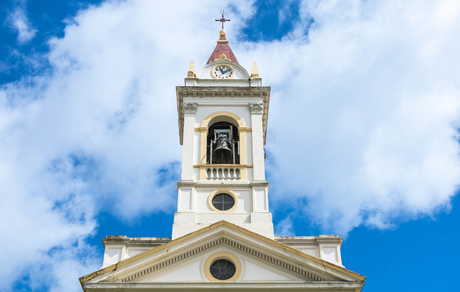
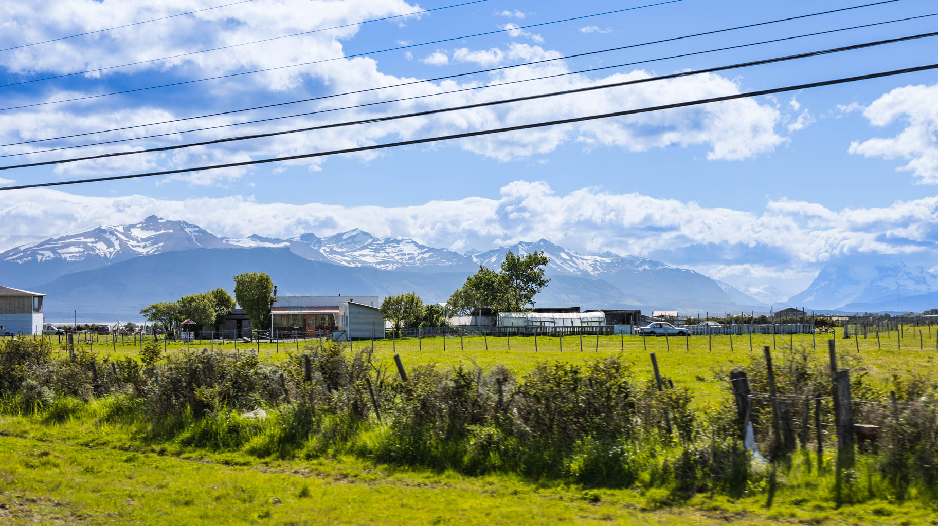
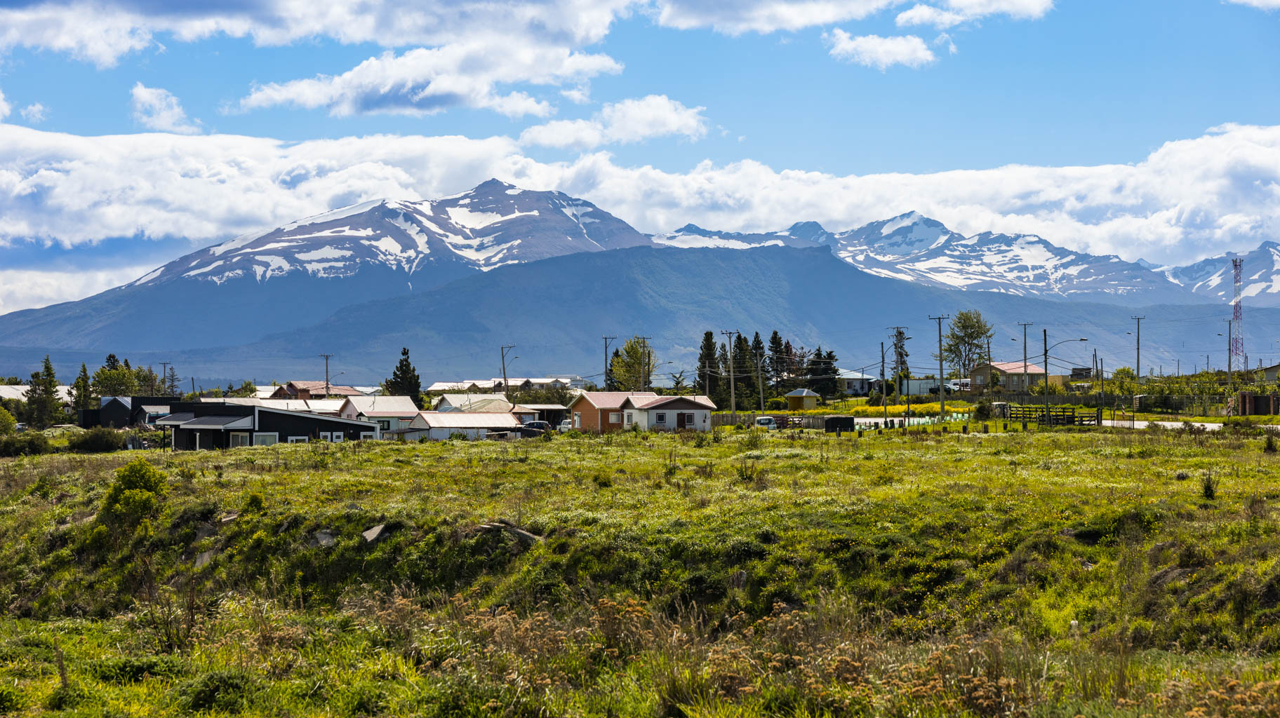
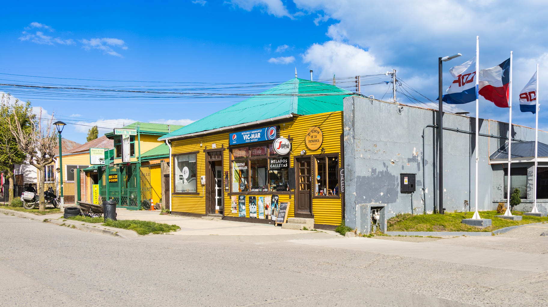
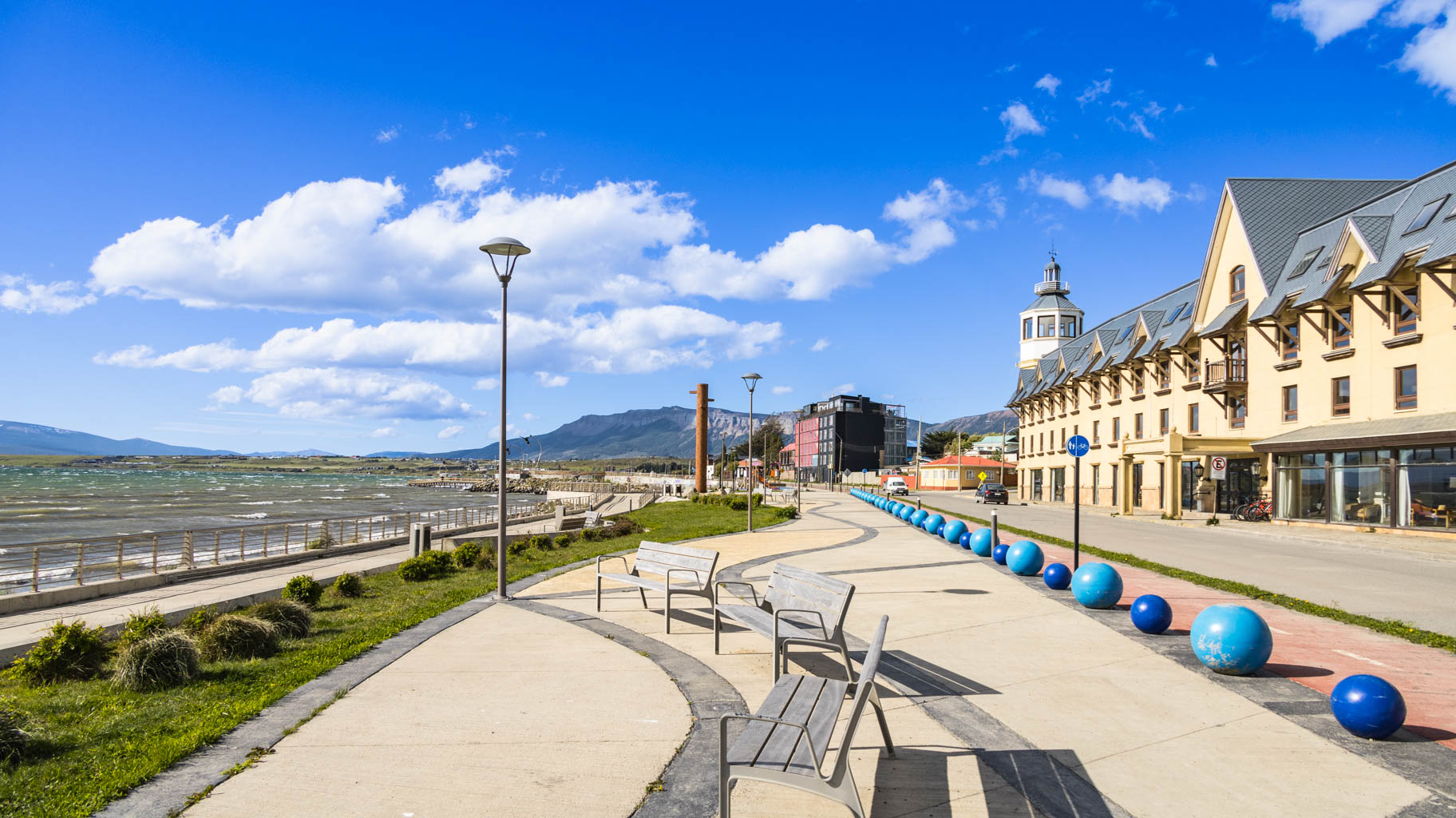
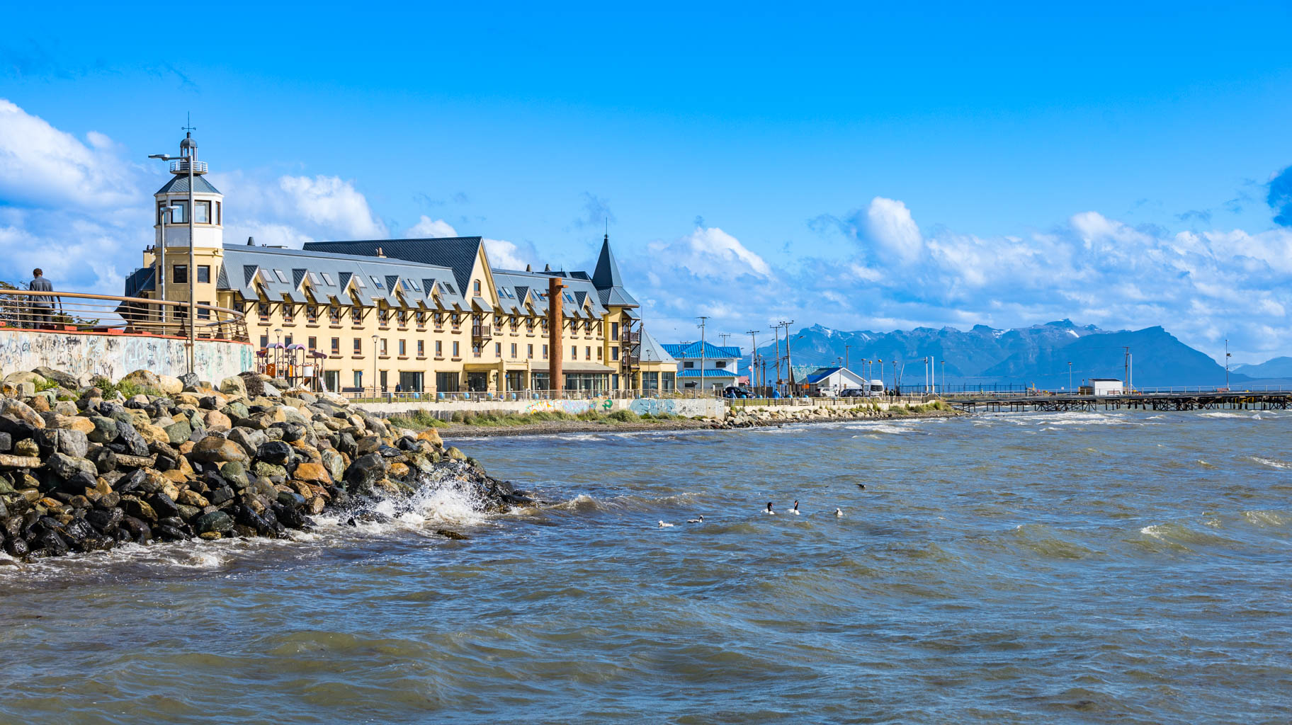
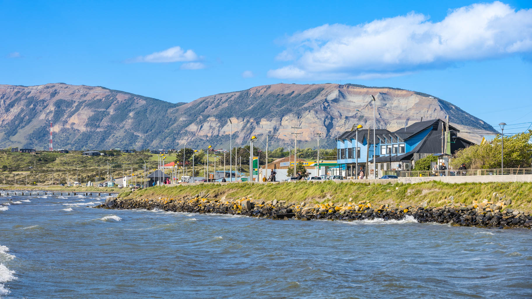
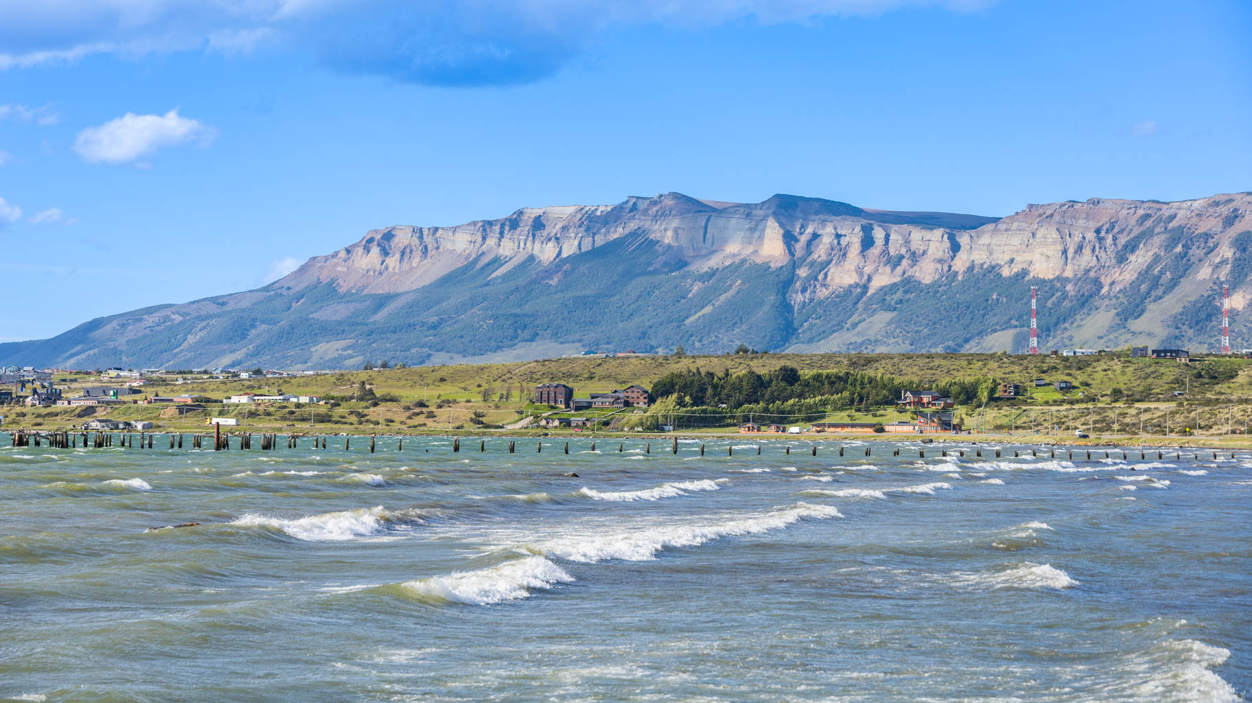
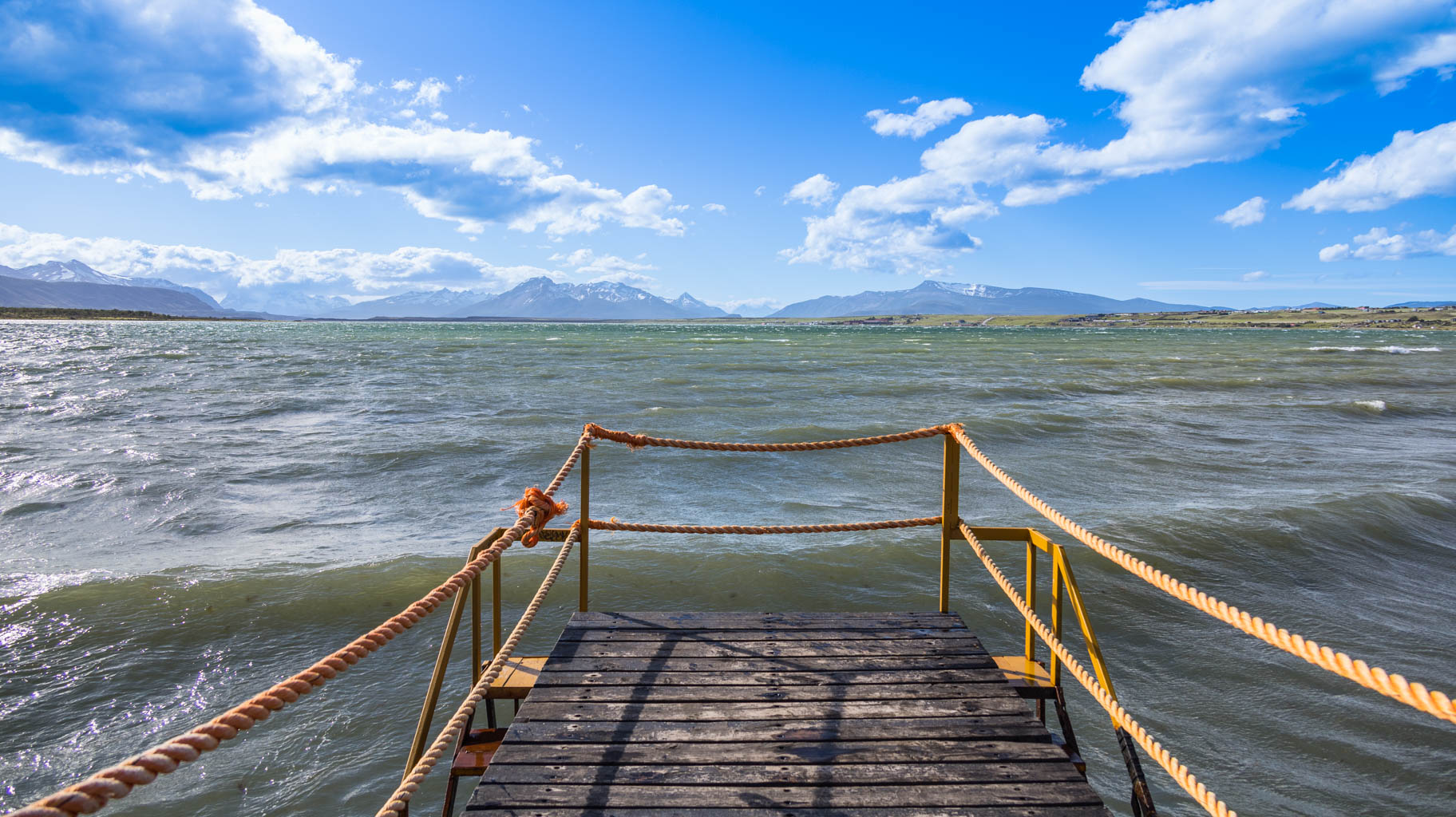
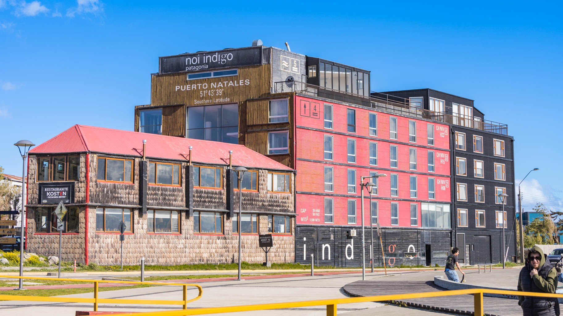
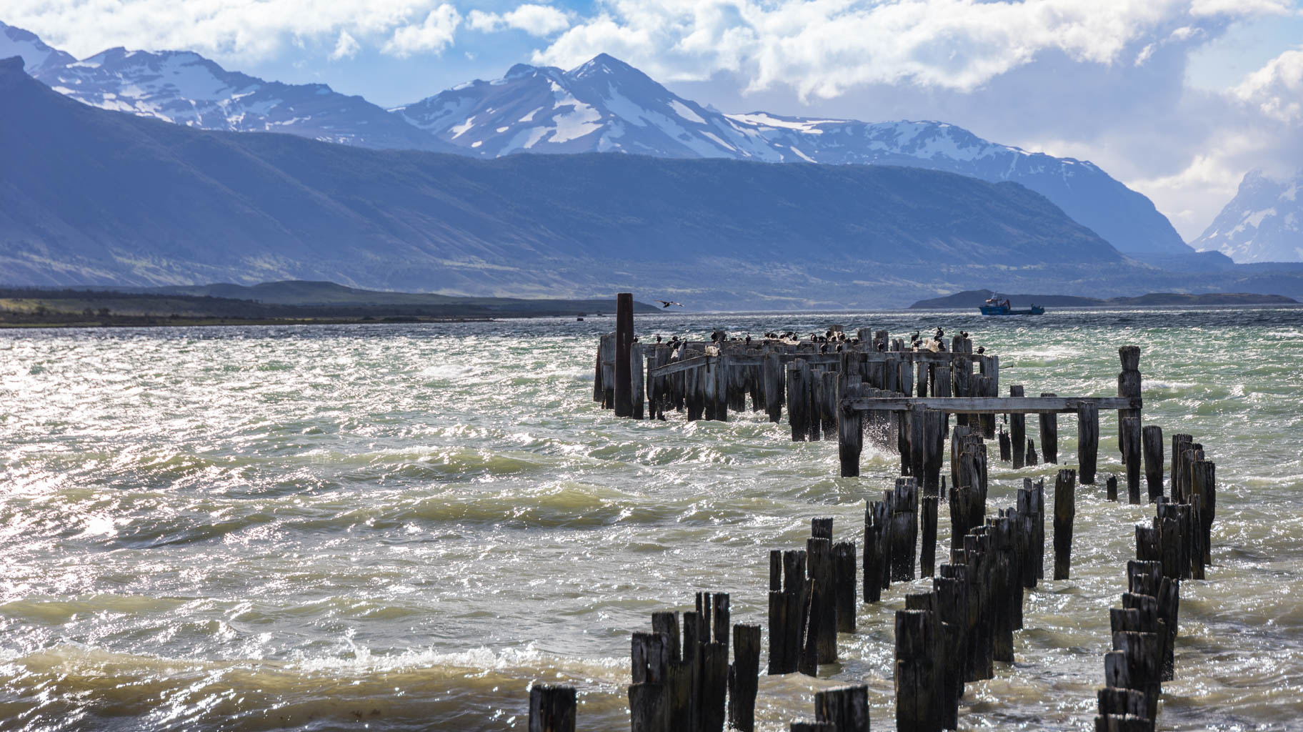
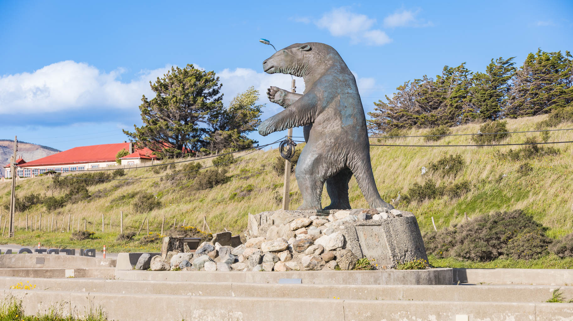
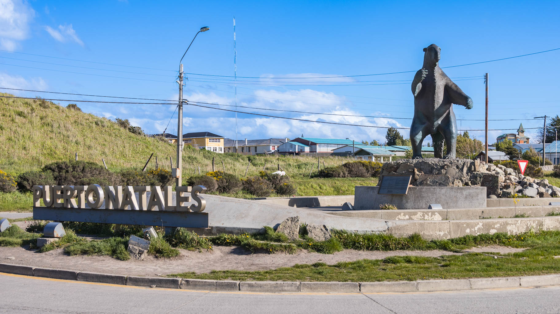
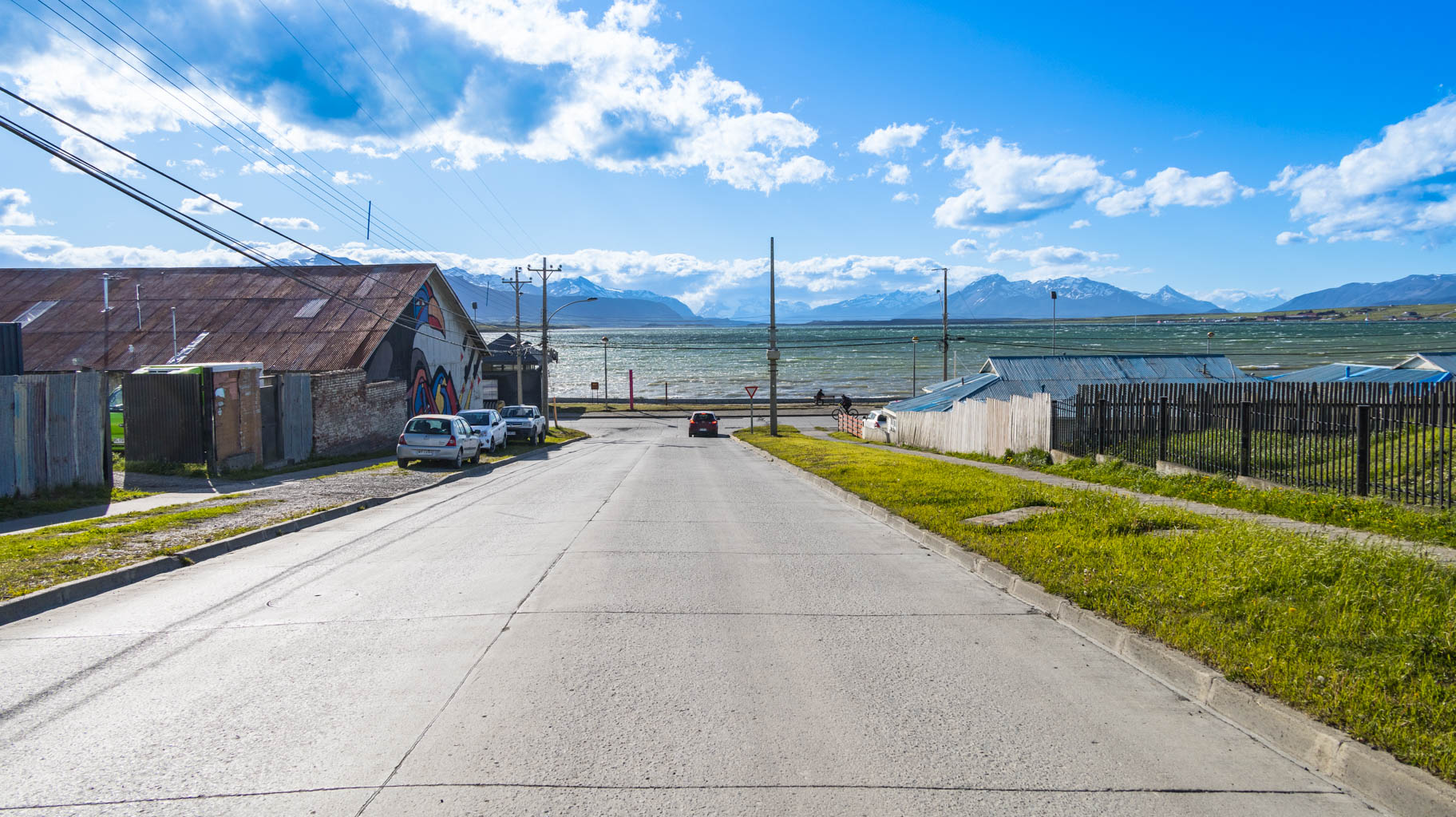
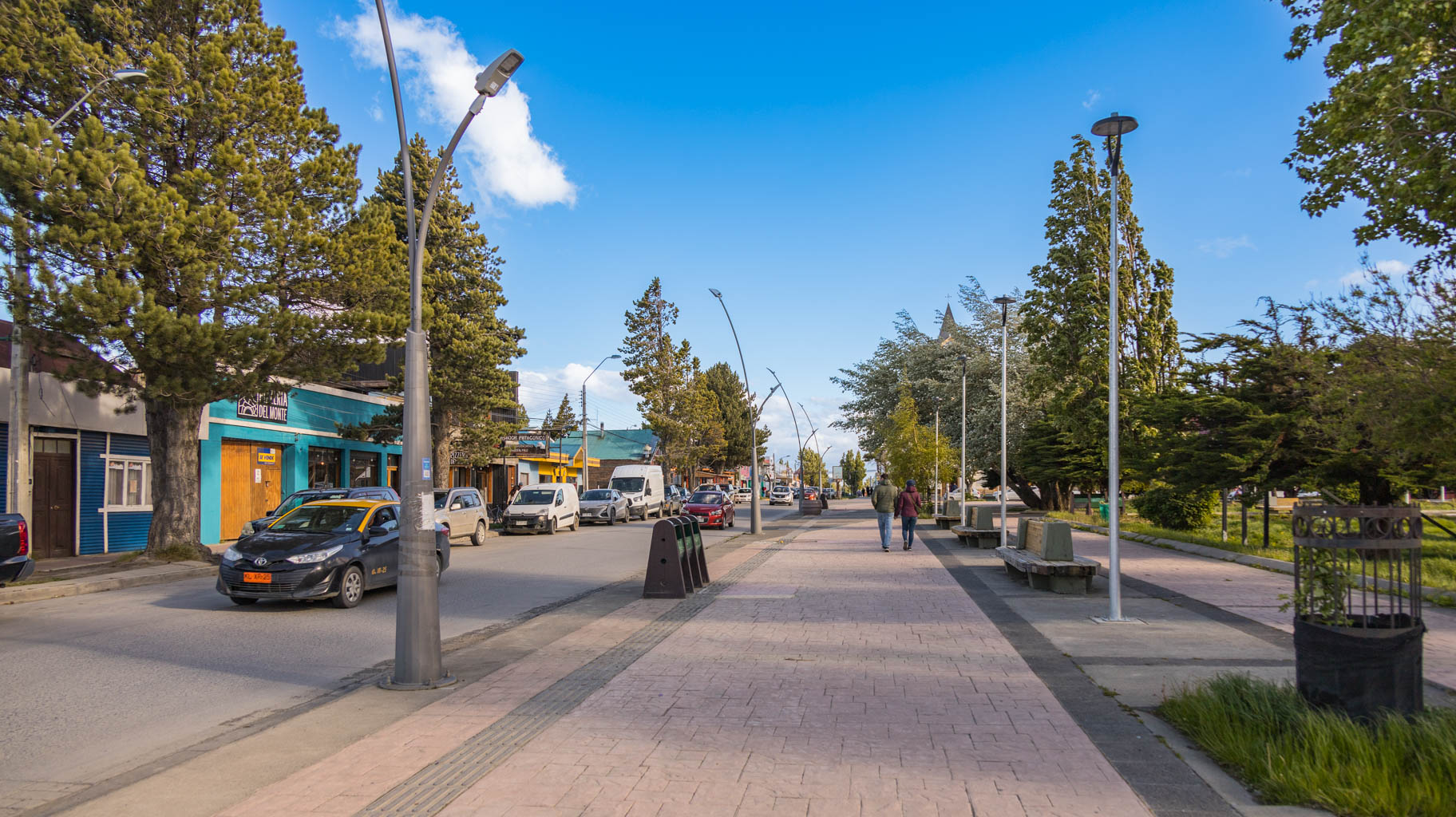
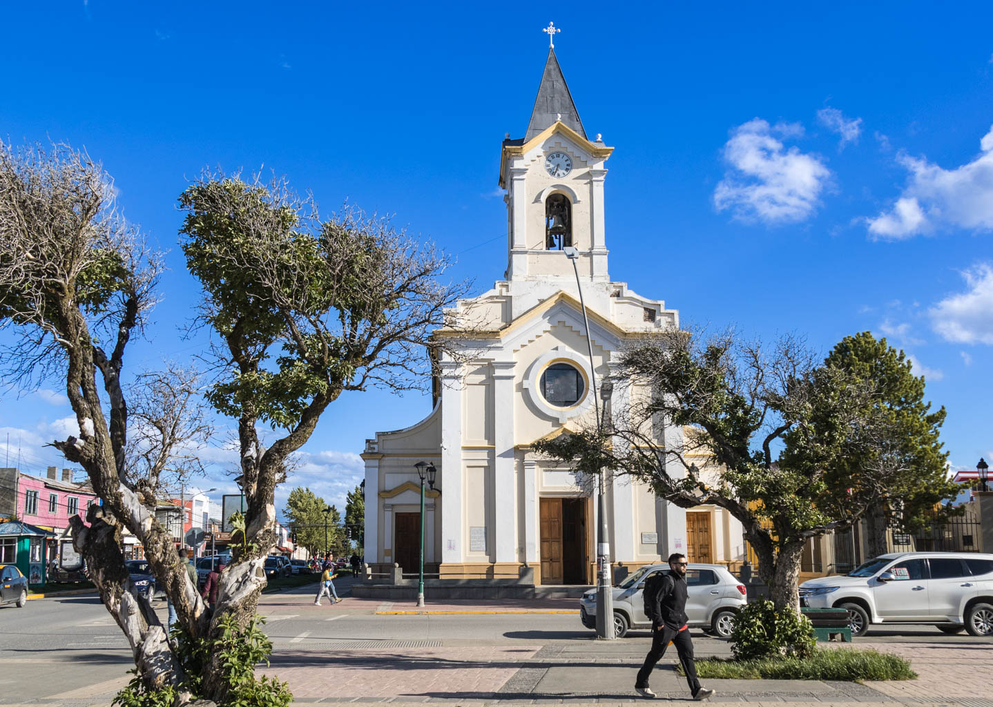
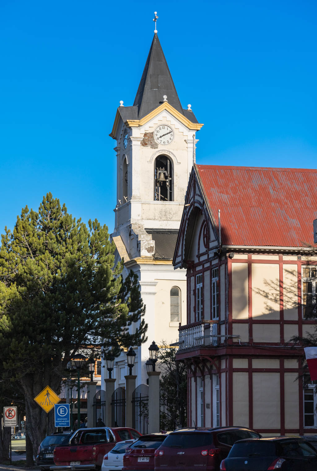
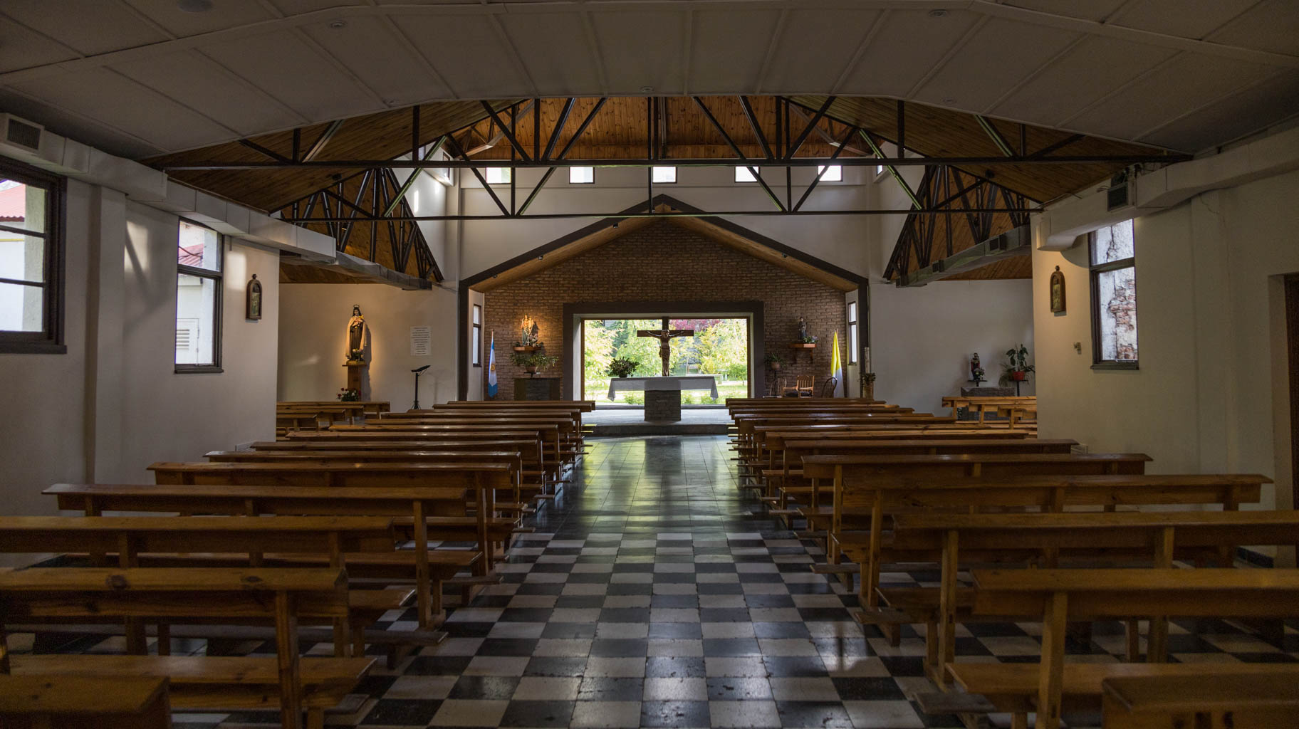
Puerto Natales is a small, clean, and well-kept town of around 20,000 people (much like Punta Arenas). The compact town center spans just a few blocks, and the heart of it is Plaza de Armas with its charming colonial-era church.
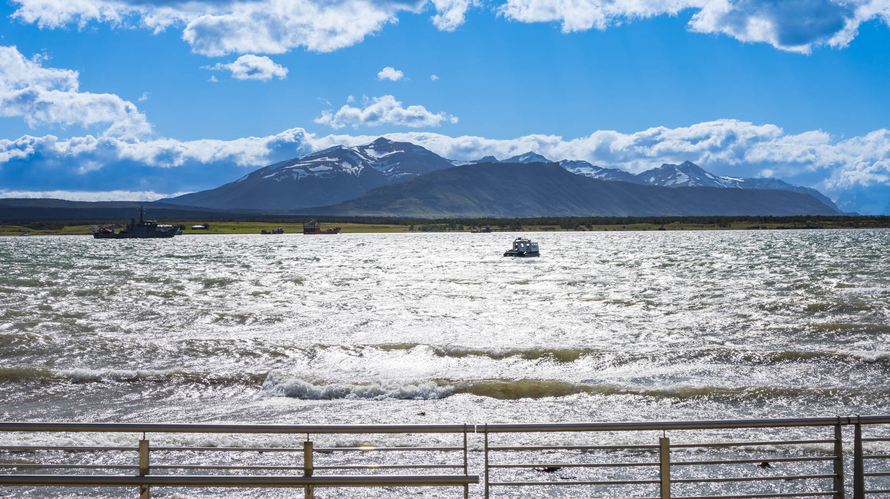
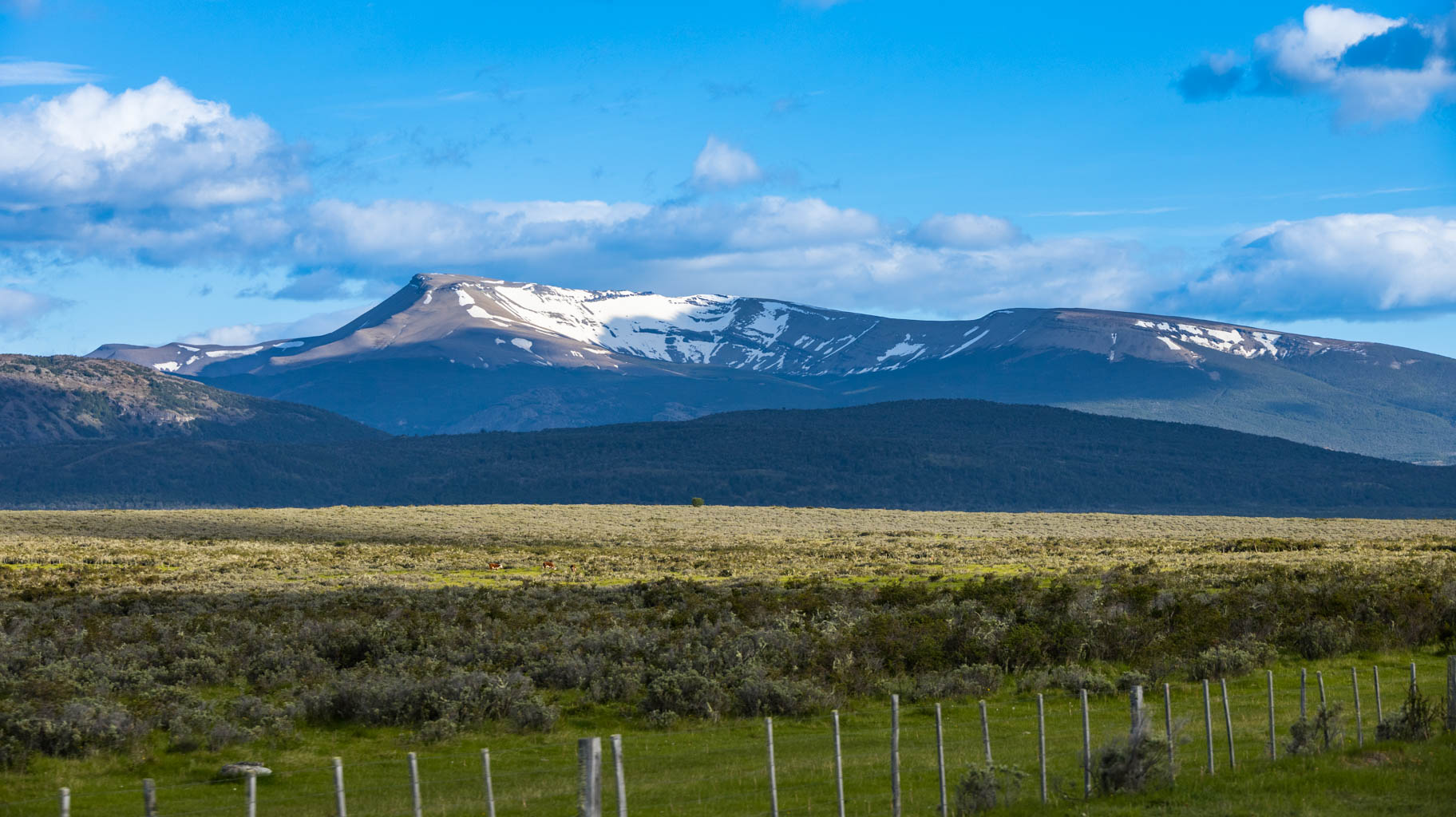
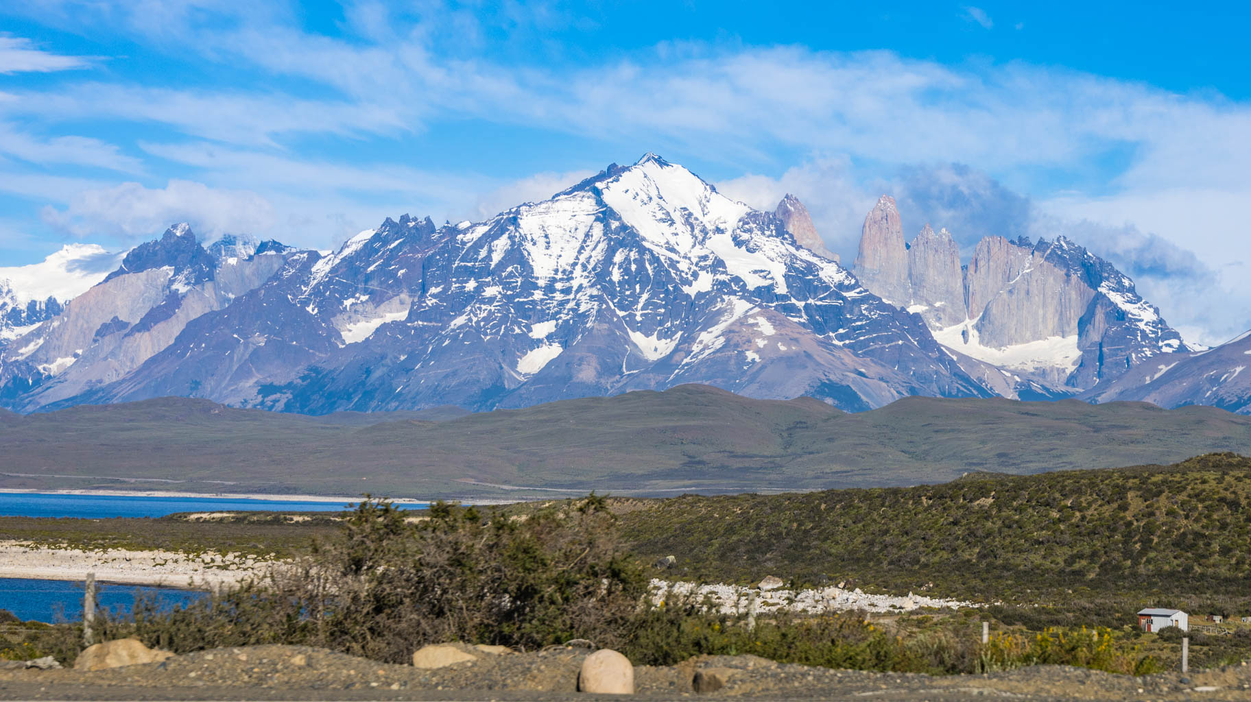
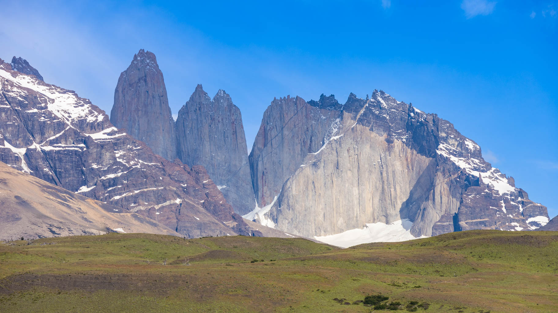
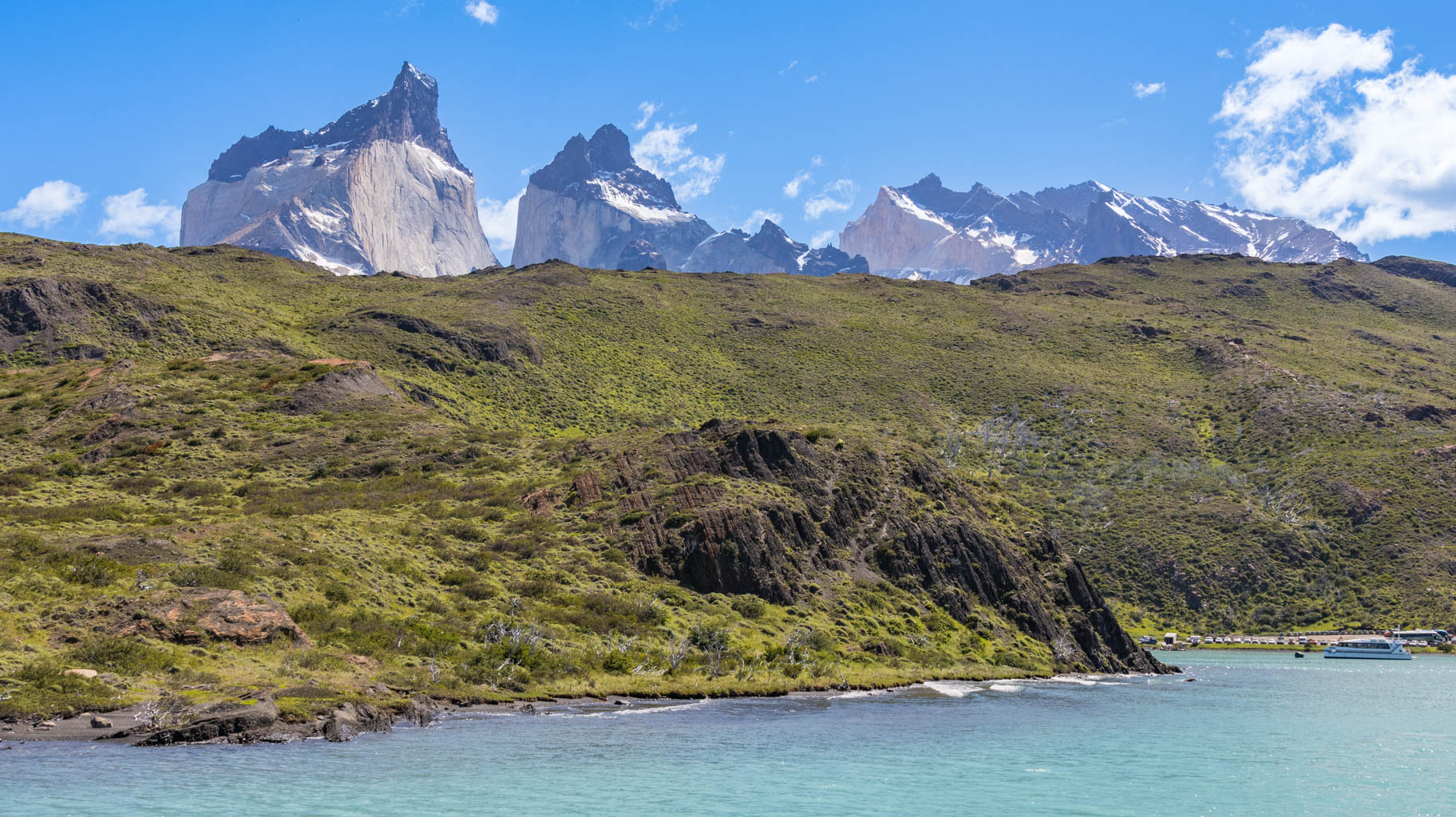
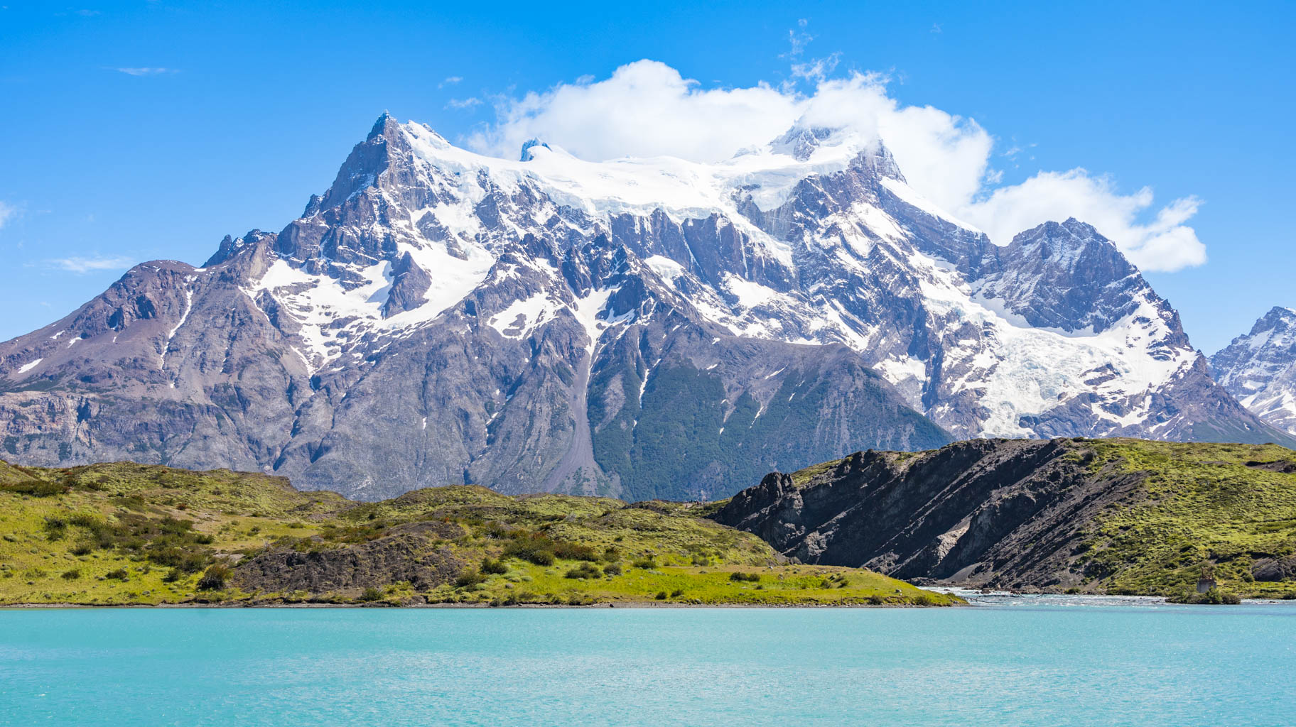
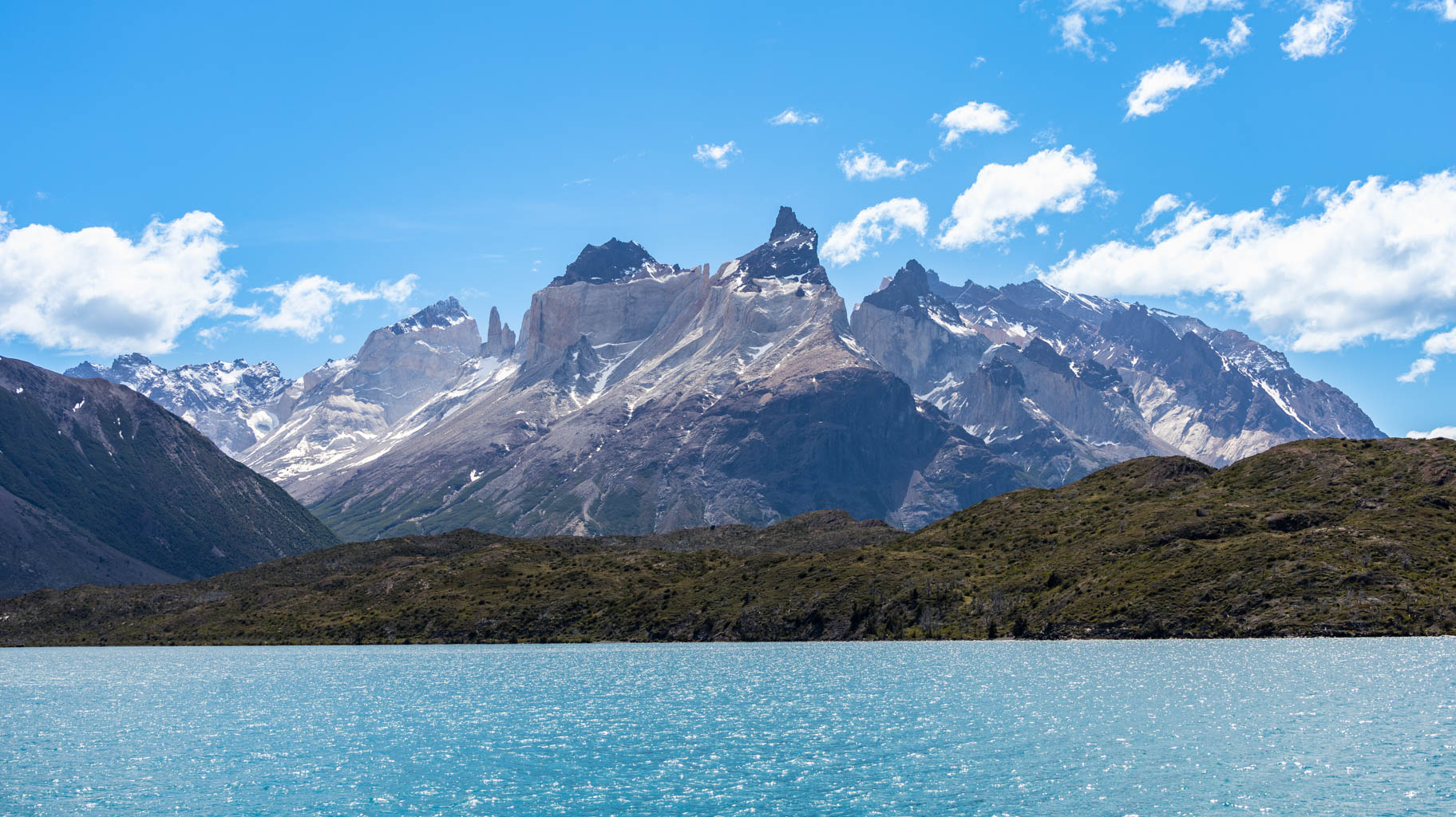
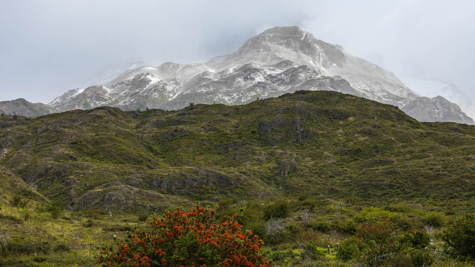
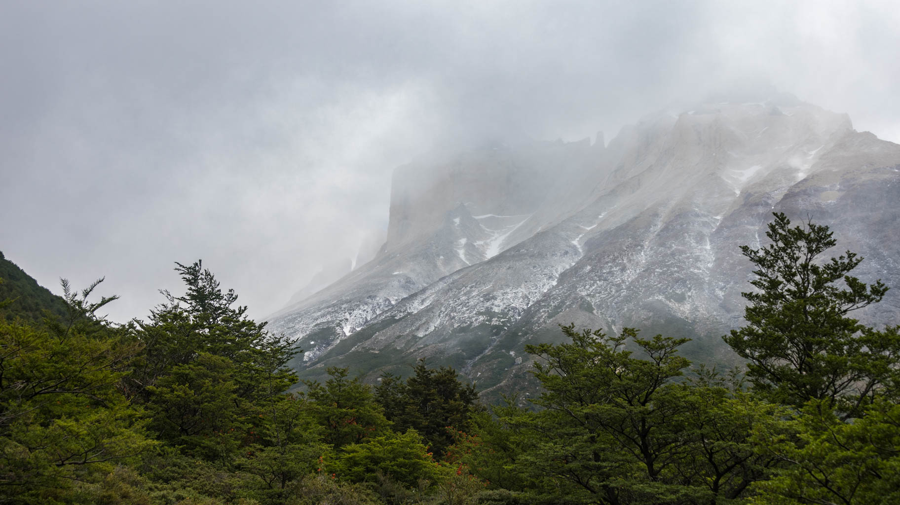
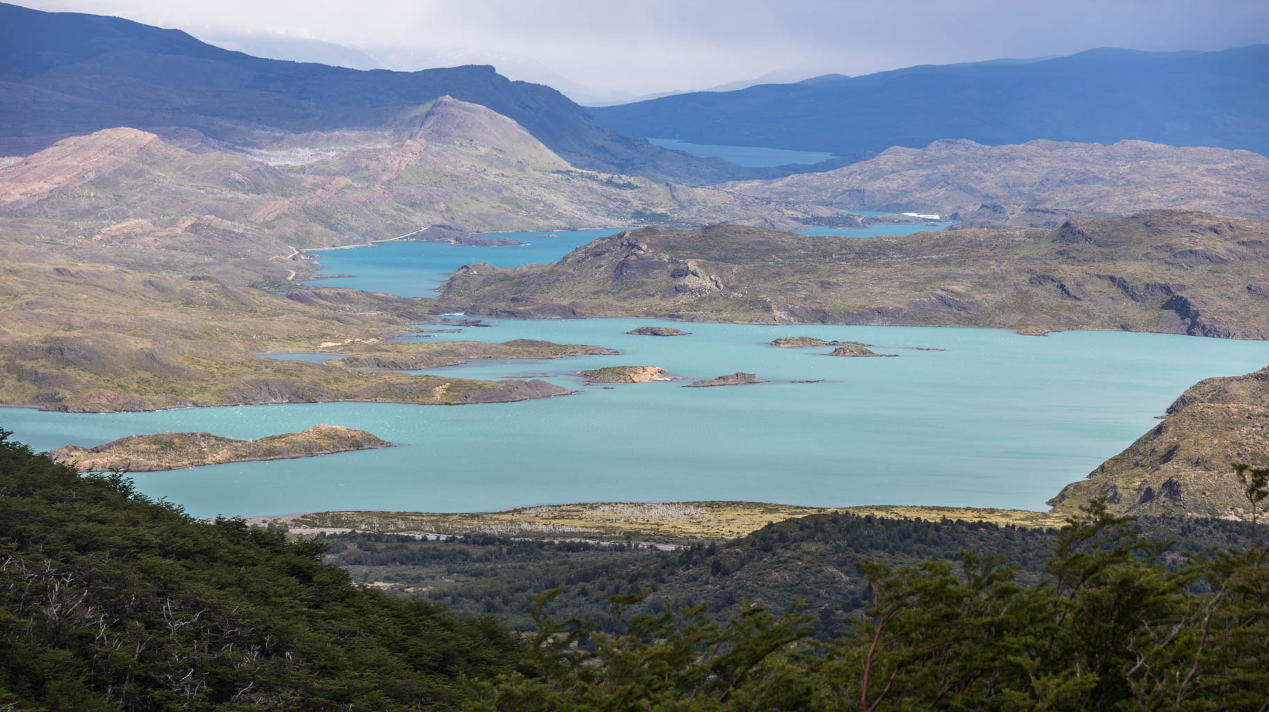
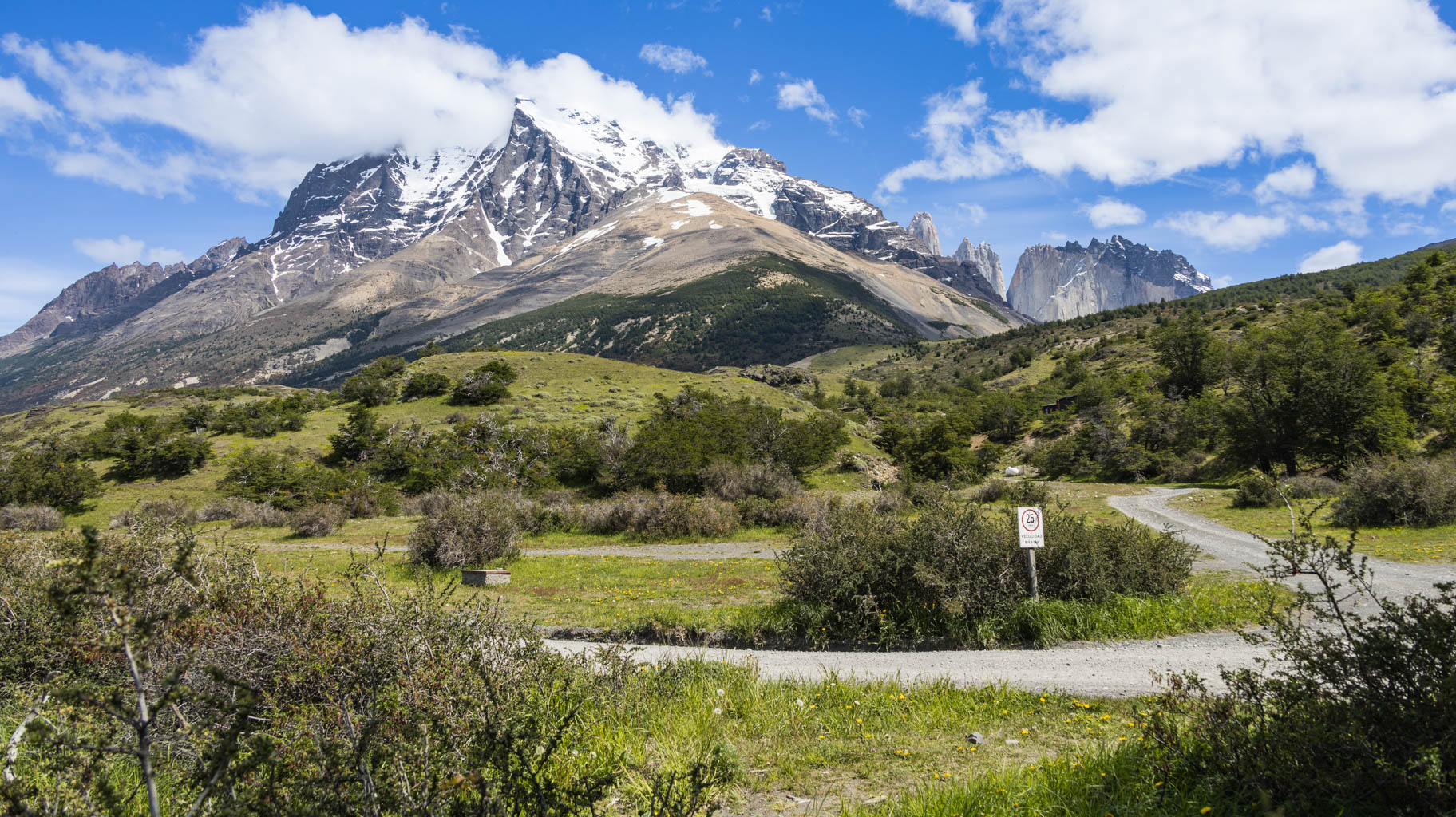
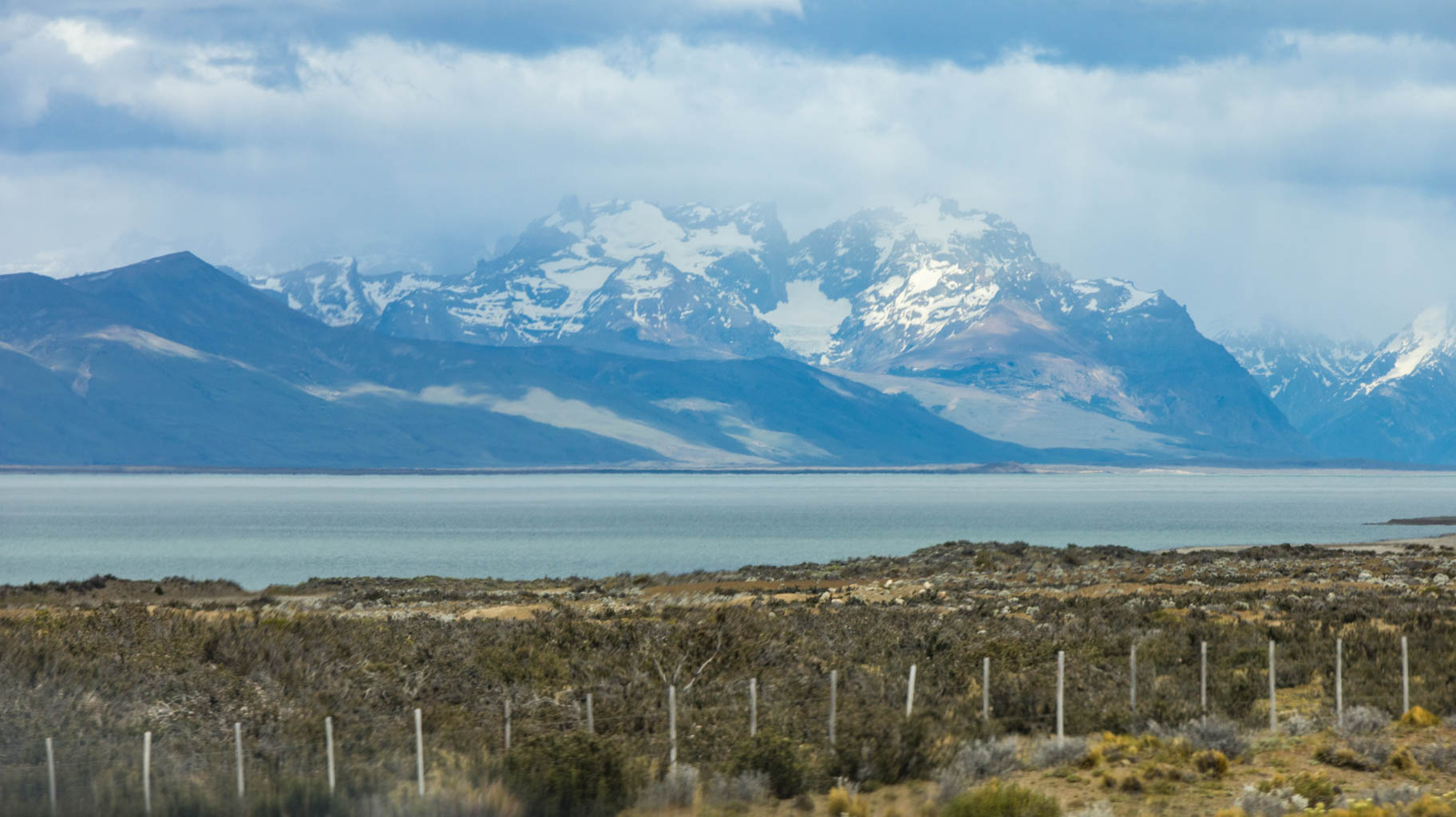
We’re also blown away by the waterfront, which offers a stunning view of the snow-capped Torres del Paine mountains, where we’re heading tomorrow.
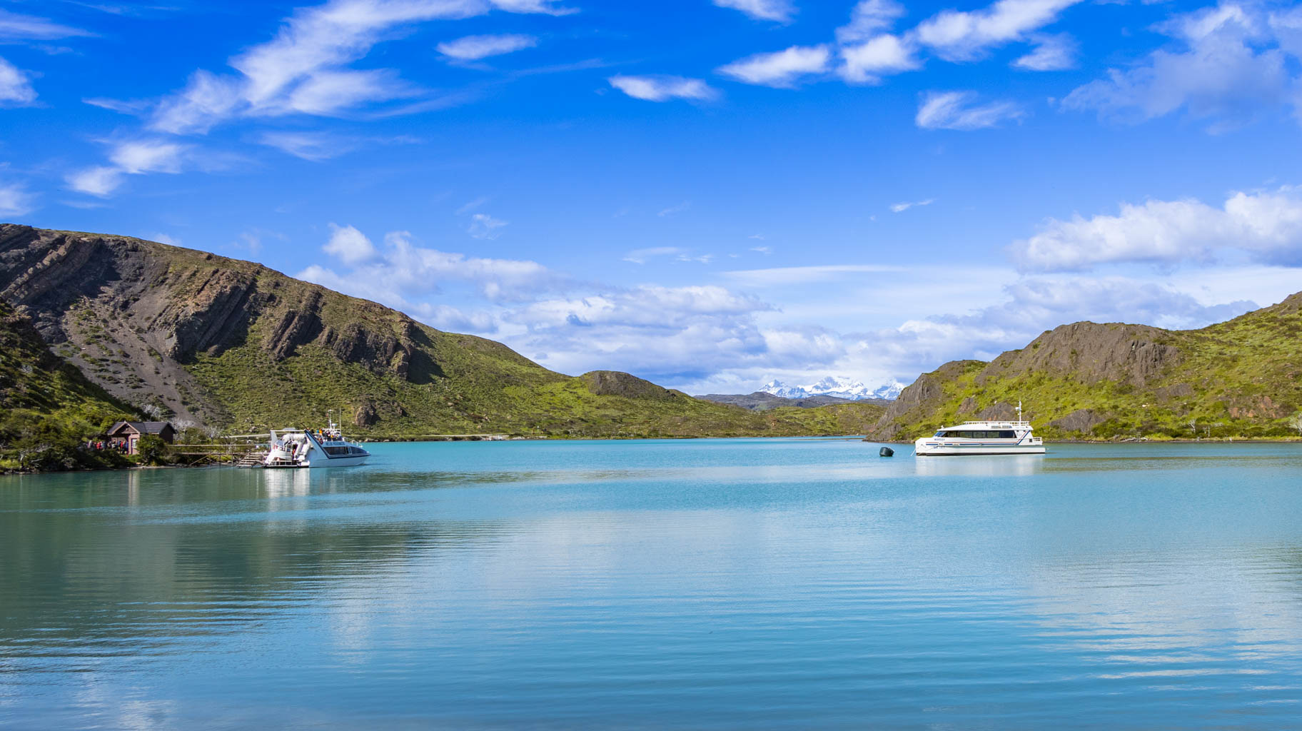
By 10:00 AM, we need to drive to Laguna Amarga, where the park office and main parking area are located. From there, we’ll take a free shuttle bus to the Pudeto car park, and from Pudeto, a catamaran departs at 10:30 AM to the Paine Grande refuge, where we will begin our trek.
Unfortunately, it turns out the drive takes a full hour and a half, and we’re going to be a bit late for the bus to Pudeto. The problem is that the next catamaran doesn’t depart until 6:00 PM. Luckily, the road is in good condition, traffic is light, and we’re able to speed up a bit—at times up to 180 km/h—to make up for lost time.
We arrive almost exactly on time, and it turns out the bus is delayed, which works out in our favor.
We get to the dock at exactly 10:30 AM, and the catamaran departs—even though it was supposed to wait for the bus. We learn that when there are a lot of passengers, like today, the catamaran departs once at 10:30 and then comes back after about an hour and a half for a second trip. That’s exactly what happened today, so we manage to start our trek after all.
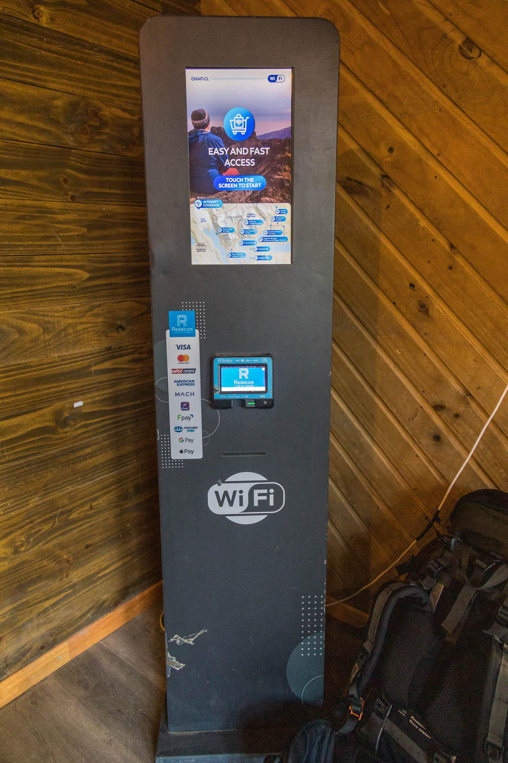
It’s worth noting that the catamaran costs $26, and it’s better to have tickets in advance or buy them online on-site. However, the internet connection here is very poor, and the website often crashes. Still, after about twenty attempts, we manage to buy tickets. Once on board, we find out that it’s also possible to buy tickets at the dock entrance, but that might be risky if the ferry is full.
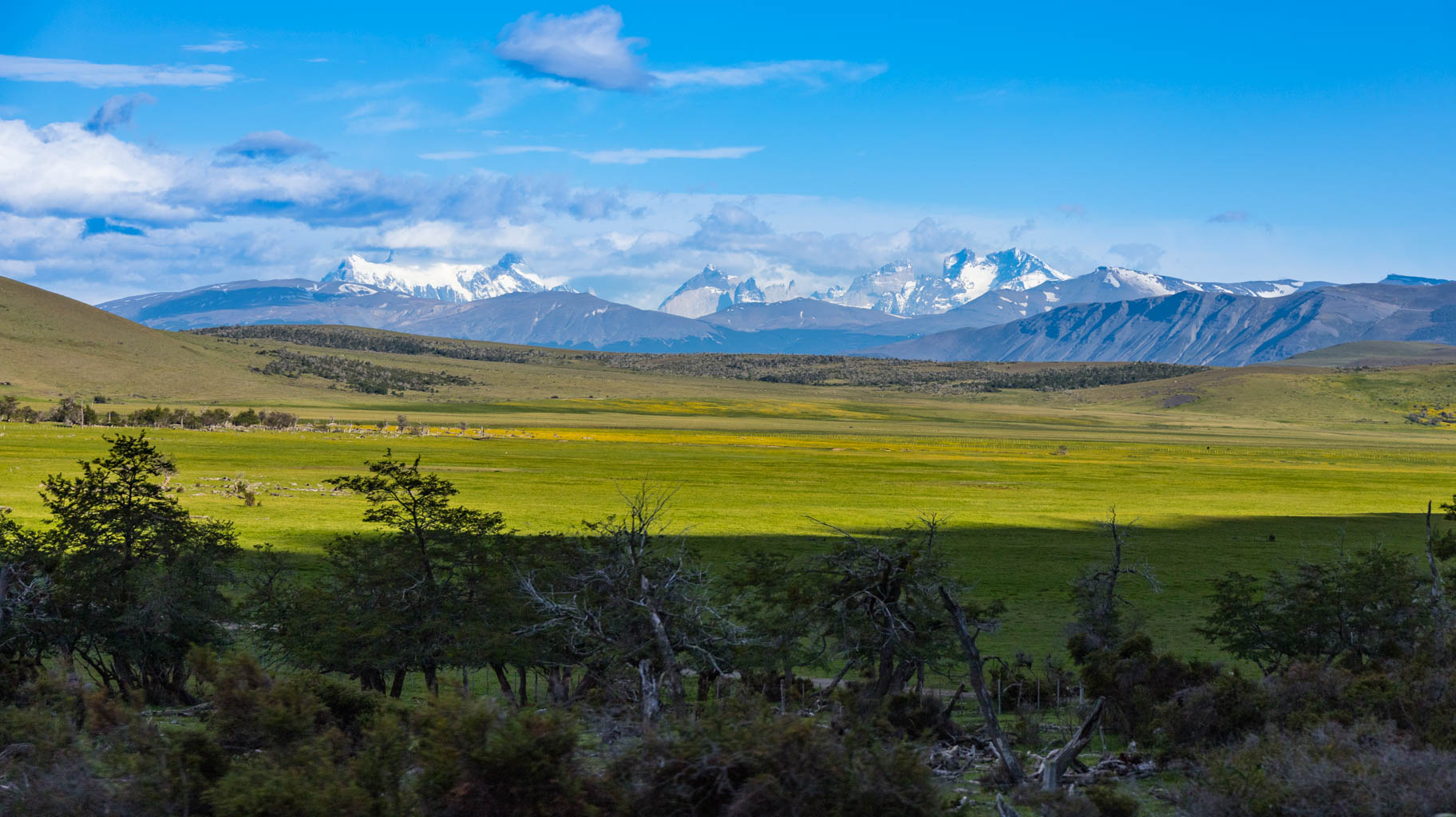
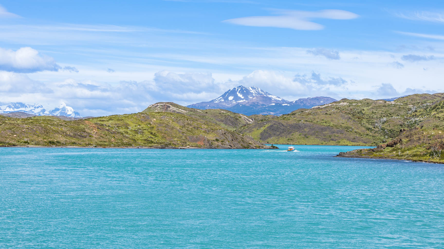
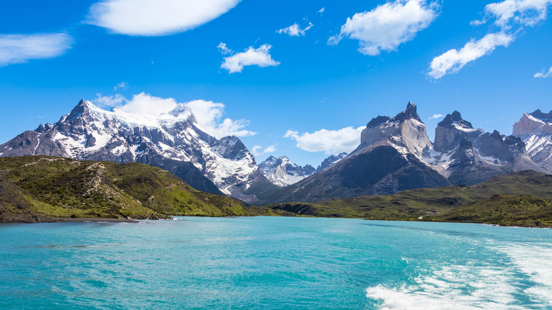
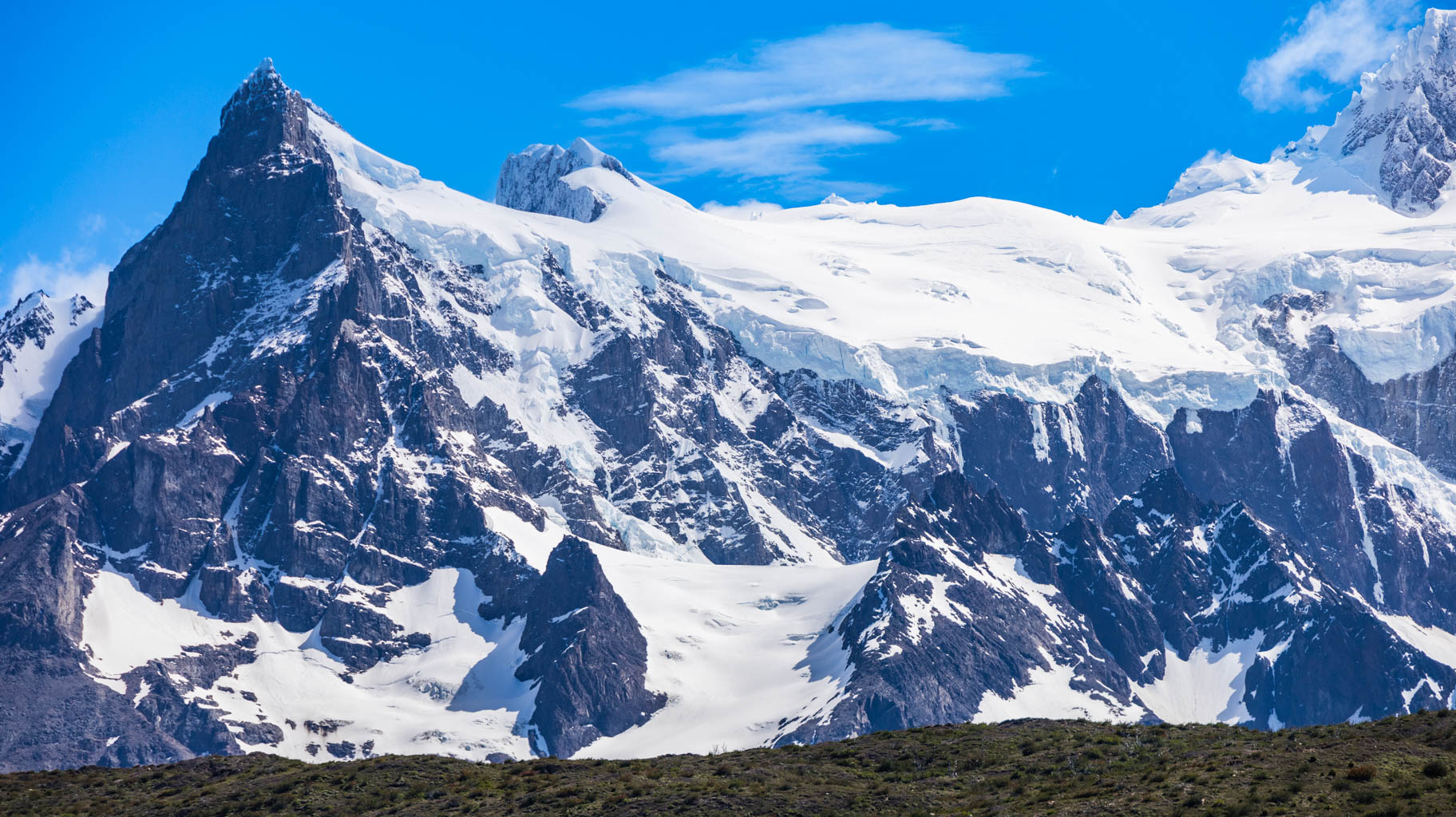
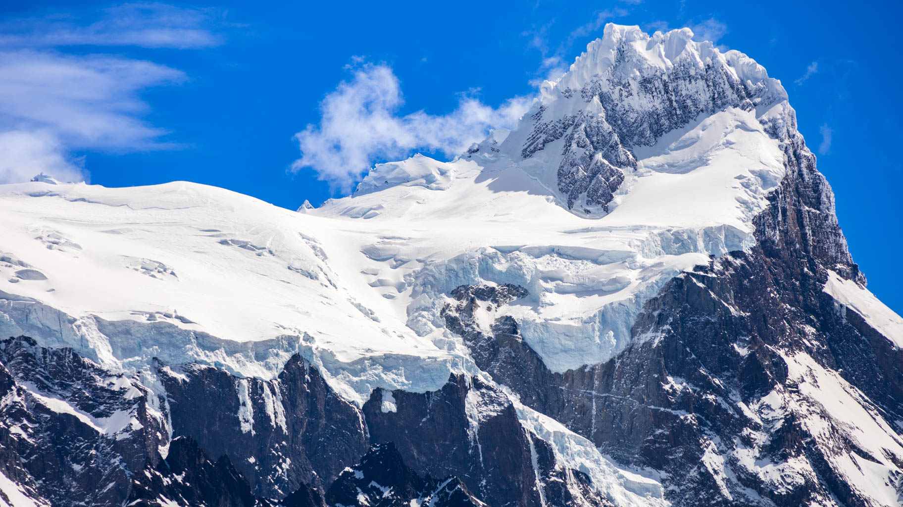
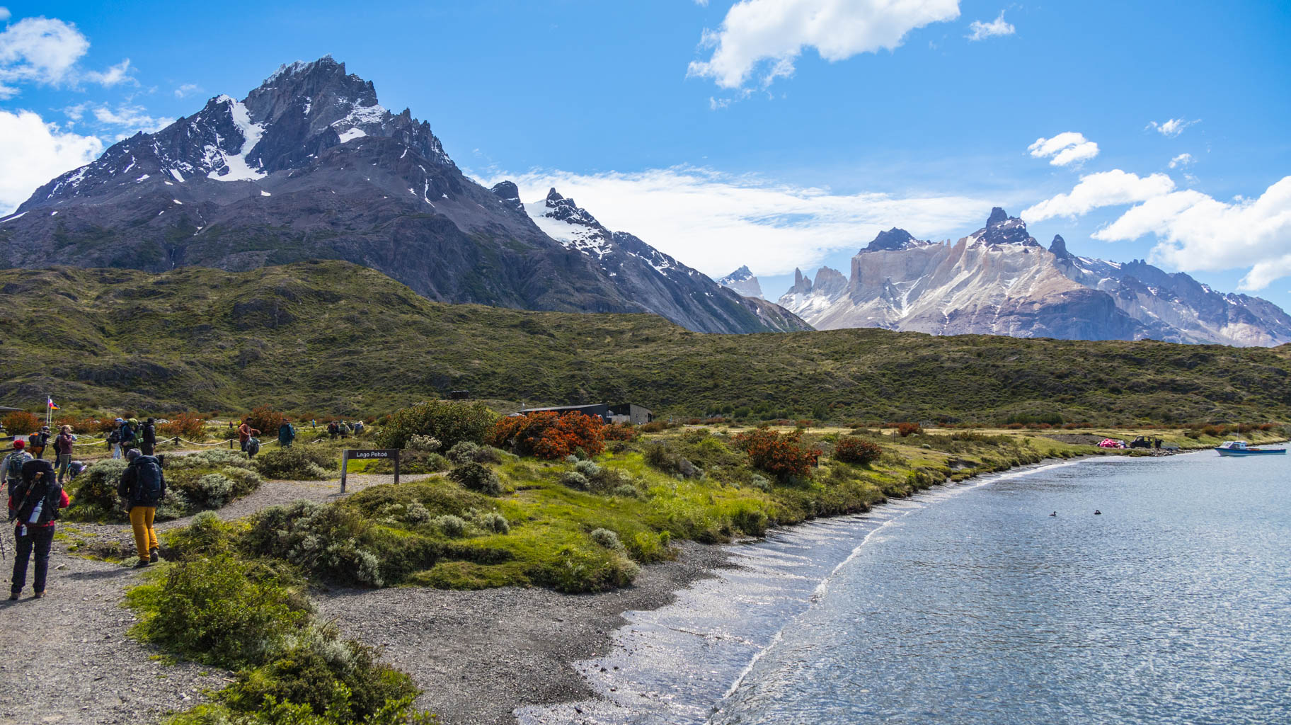
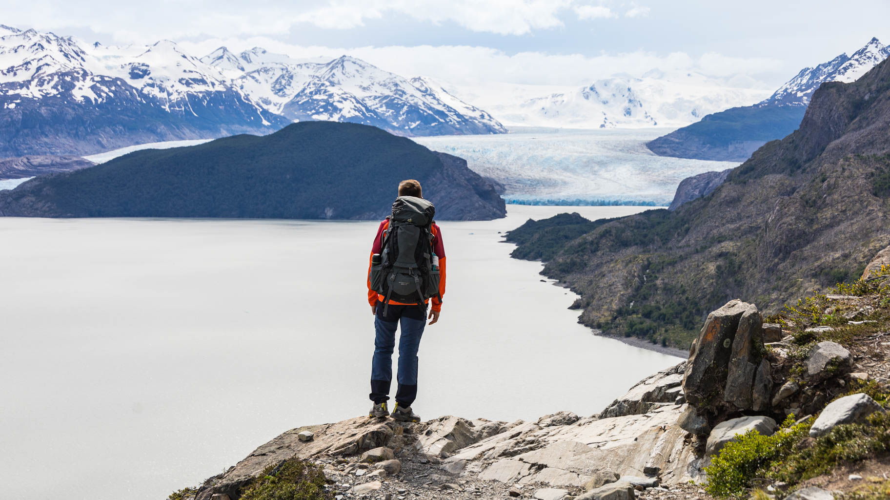
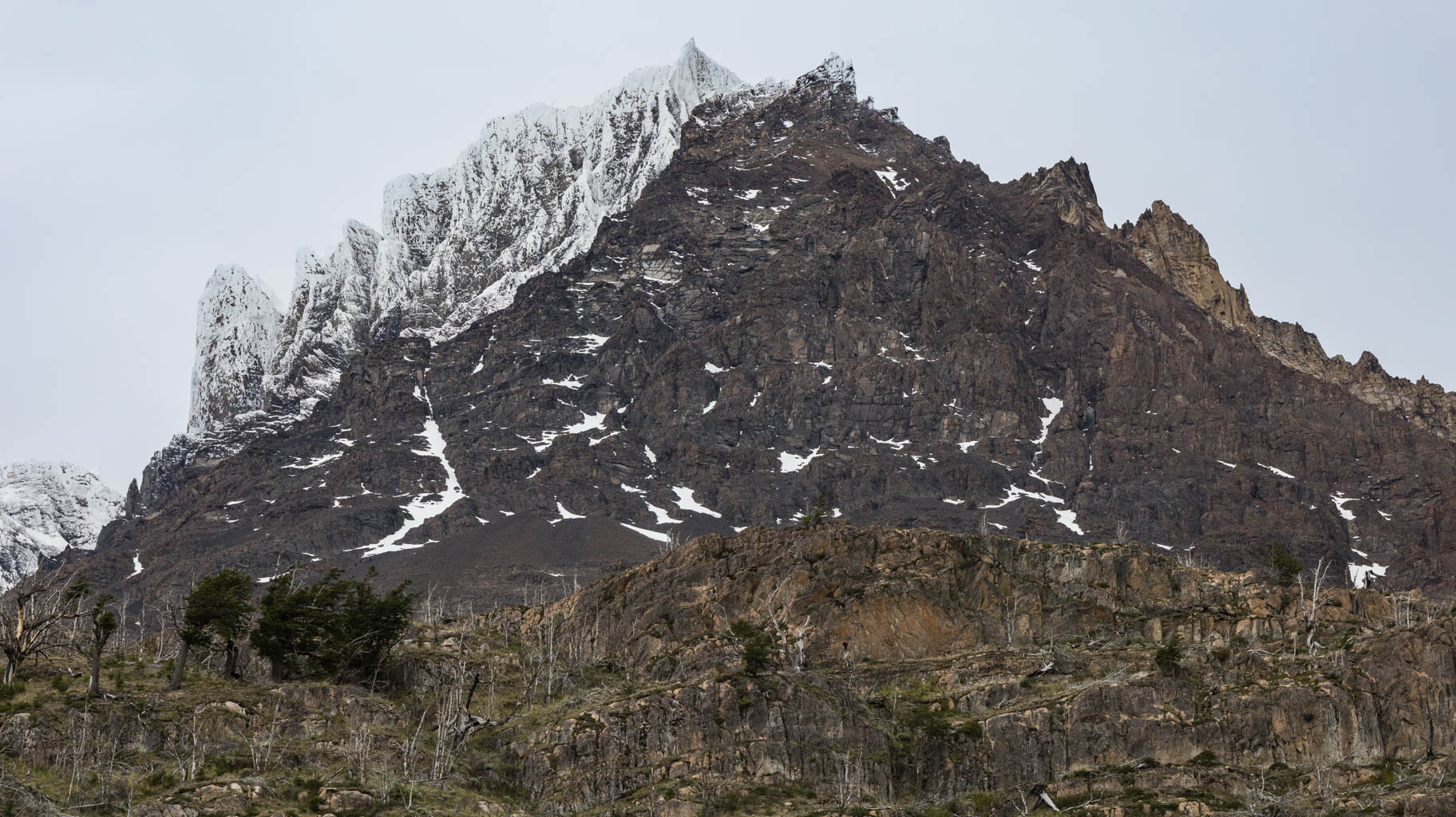
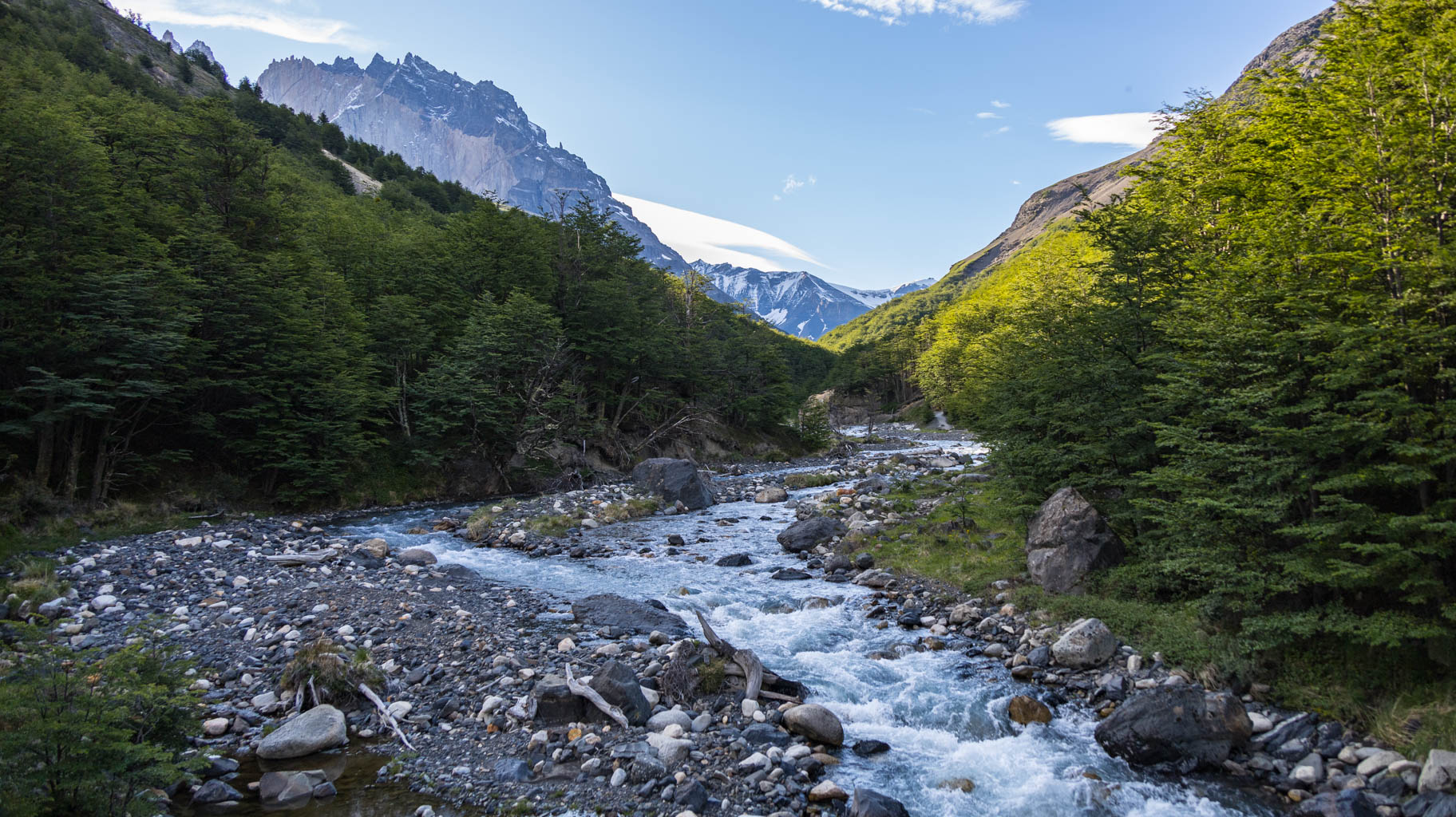
The ferry ride to the trek starting point takes about half an hour. The weather is nice, the sky is blue, and visibility is excellent, allowing us to enjoy the stunning snow-covered peaks of Patagonia.
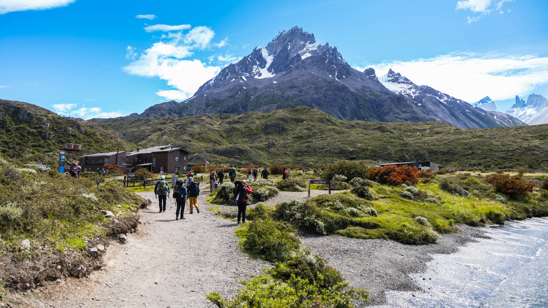
Once we reach Paine Grande, we immediately hit the trail.
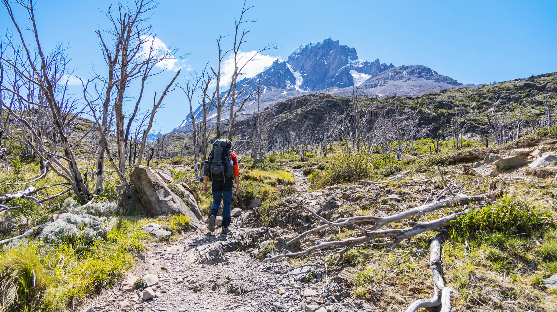
The first section is easy—nearly flat with just a few small hills. The only real challenge is the heavy backpacks, since we need to carry everything for the next five days of trekking: water, food for the first day, clothes, a camera, sleeping bag, and other essentials—all of which add a lot of weight.
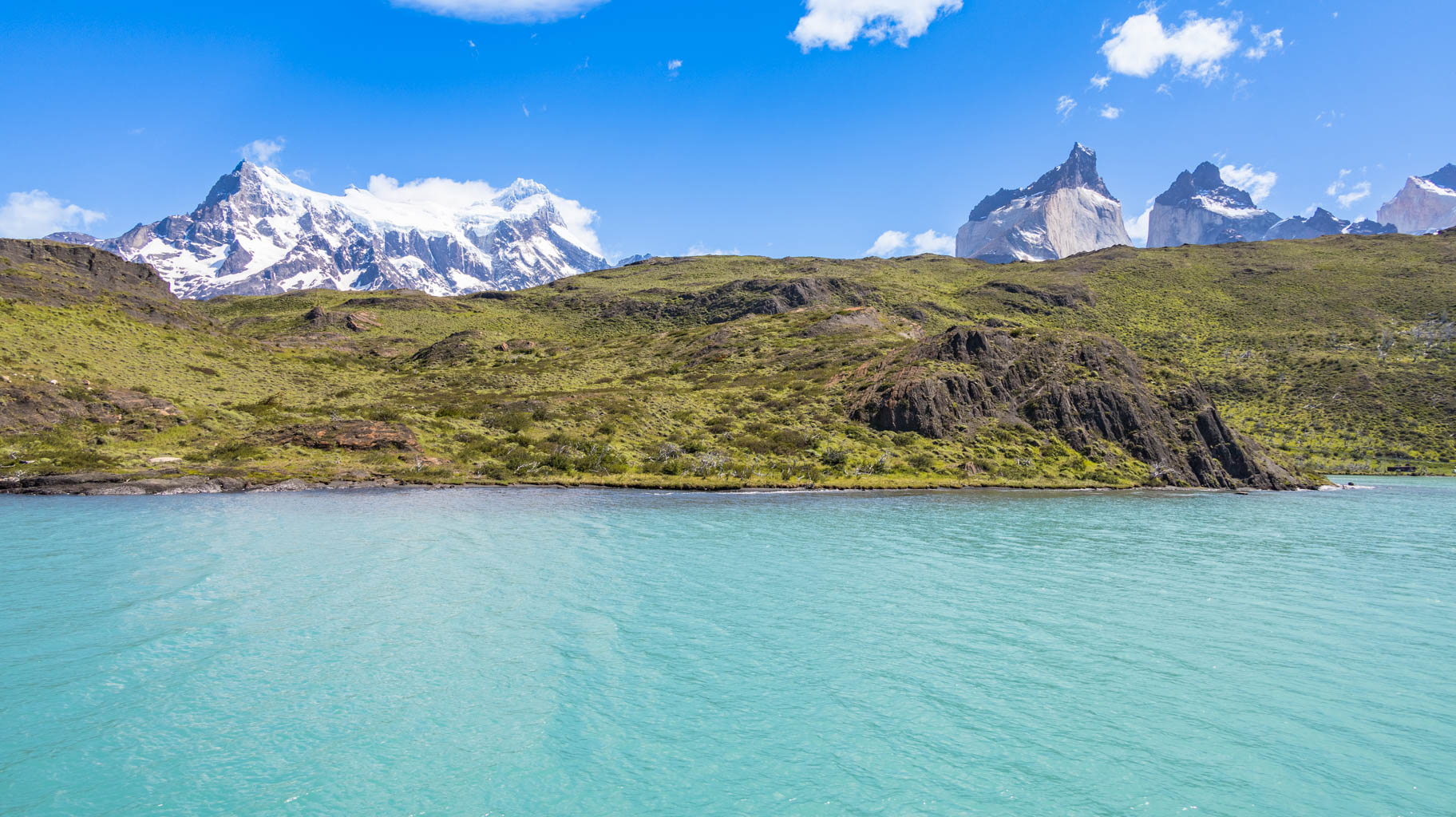
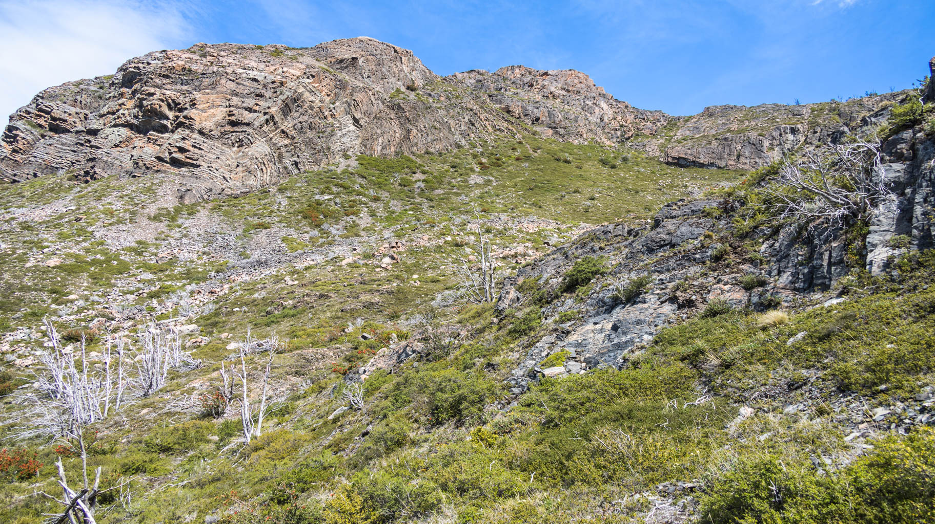
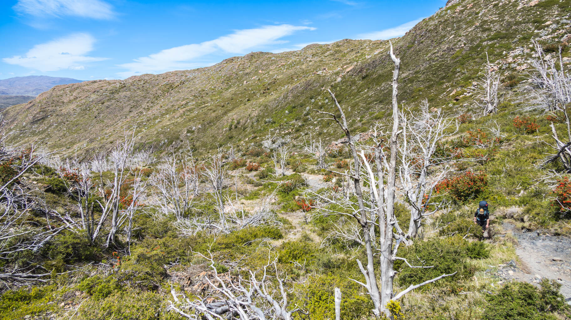
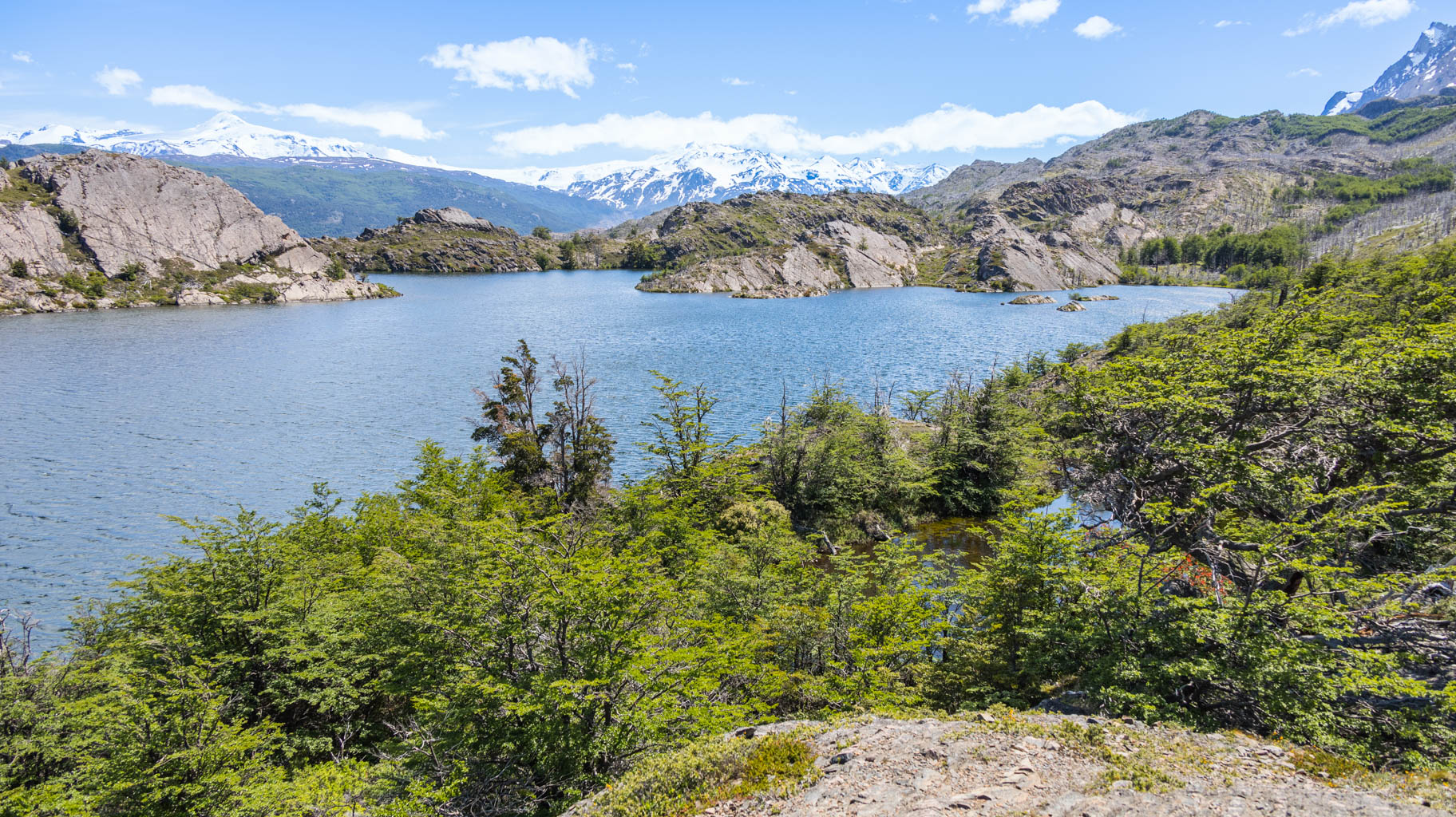
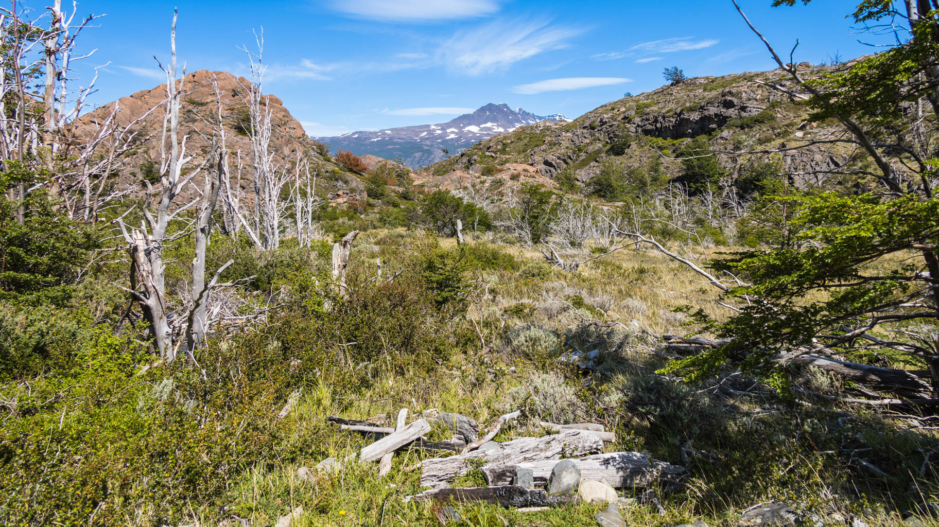
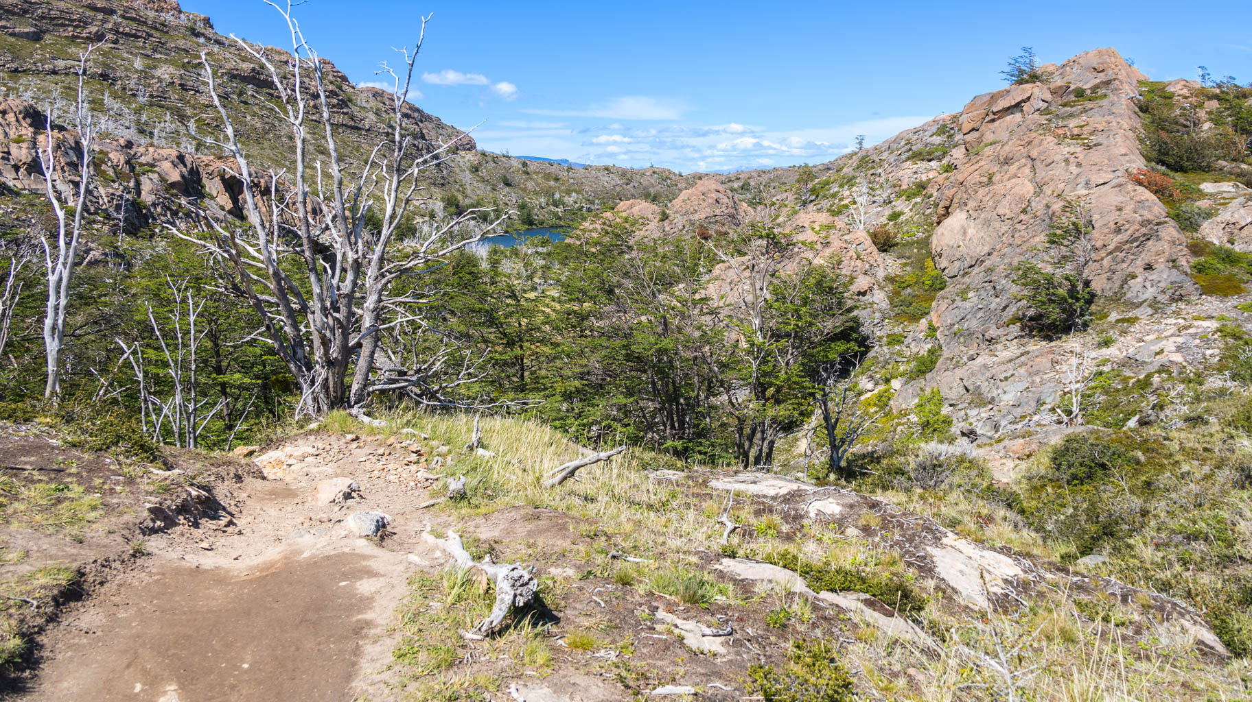
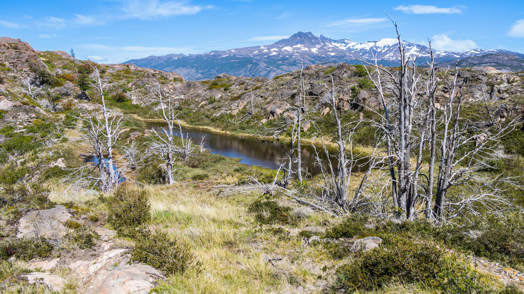
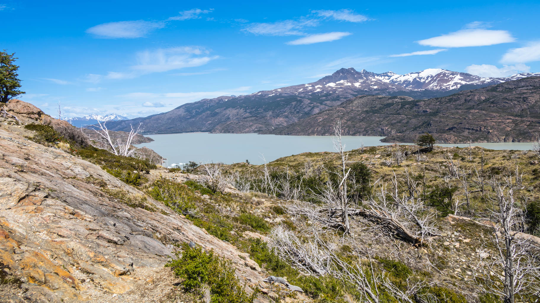
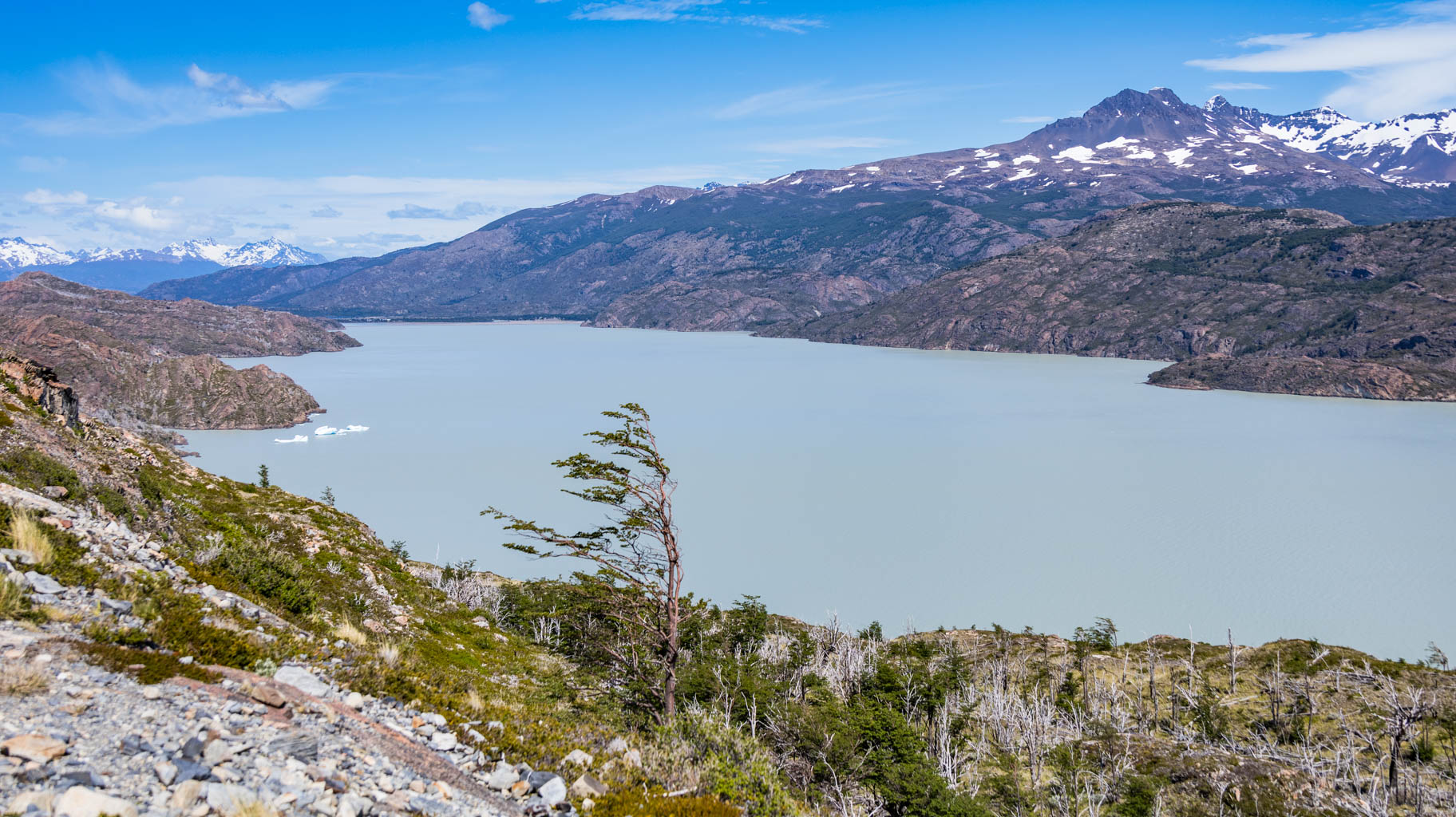
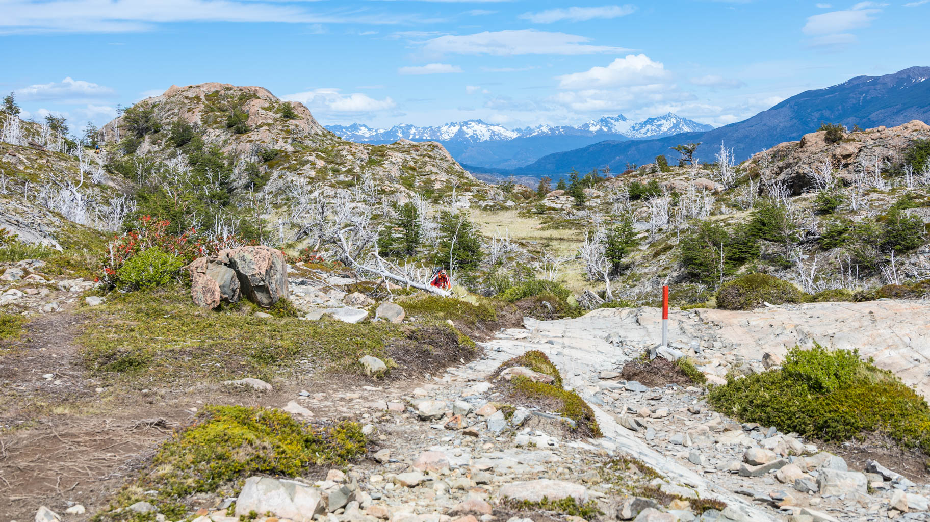
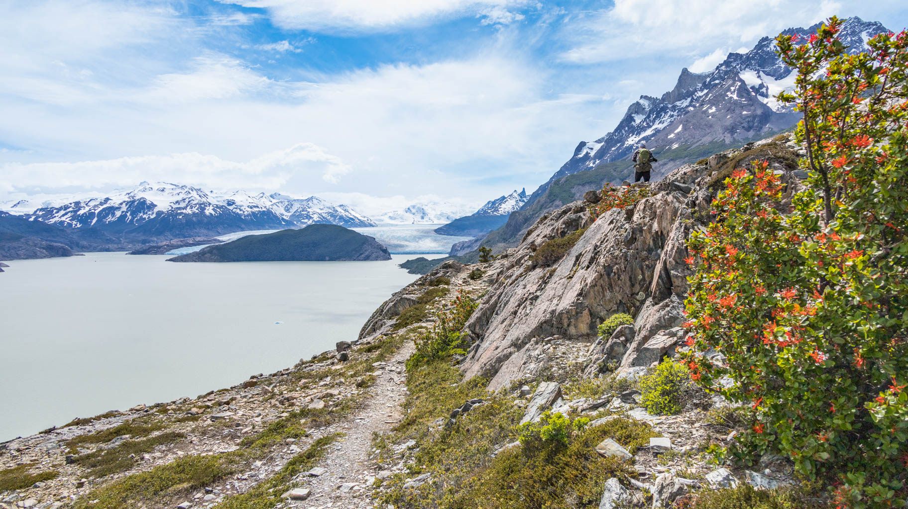
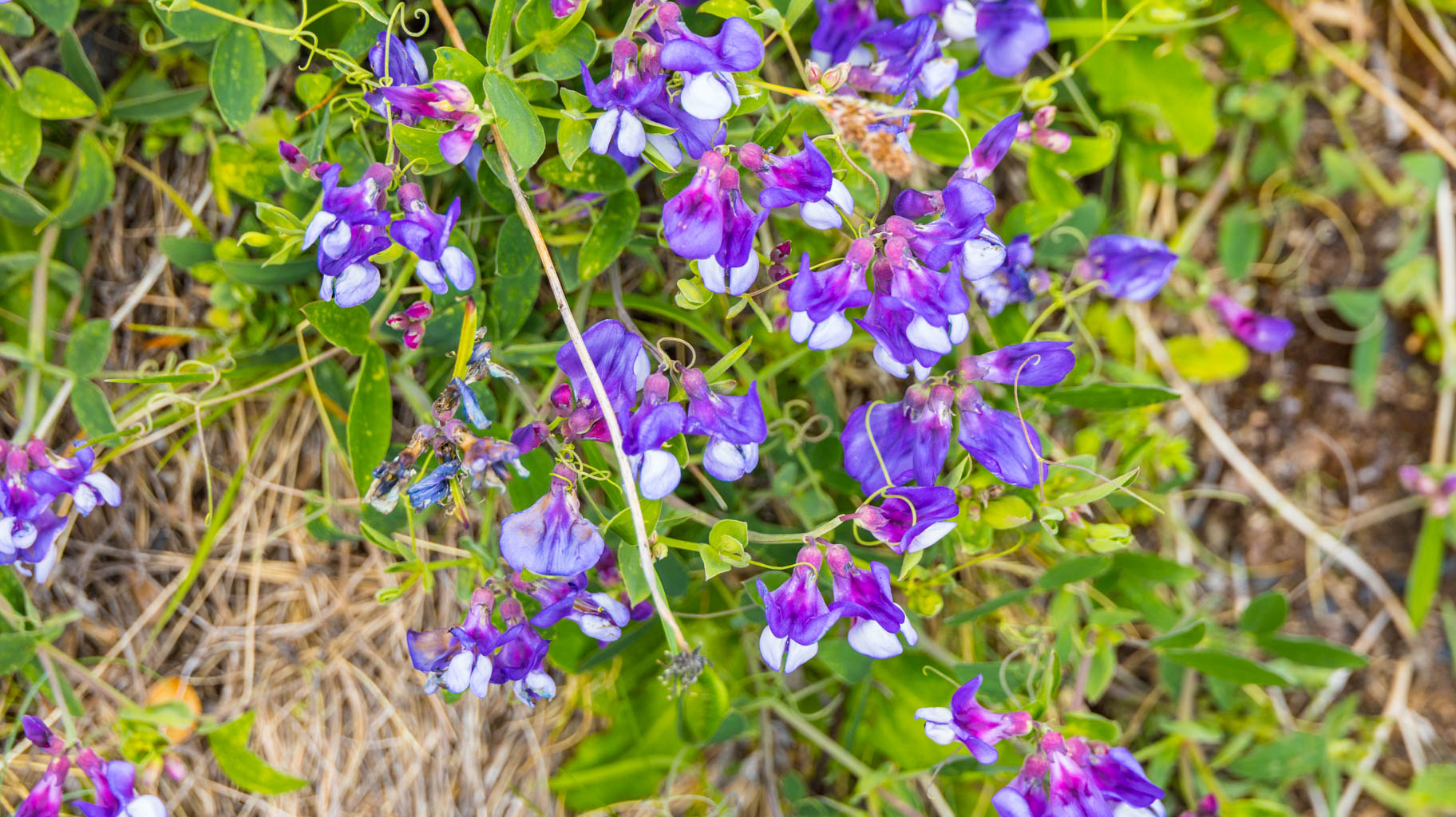
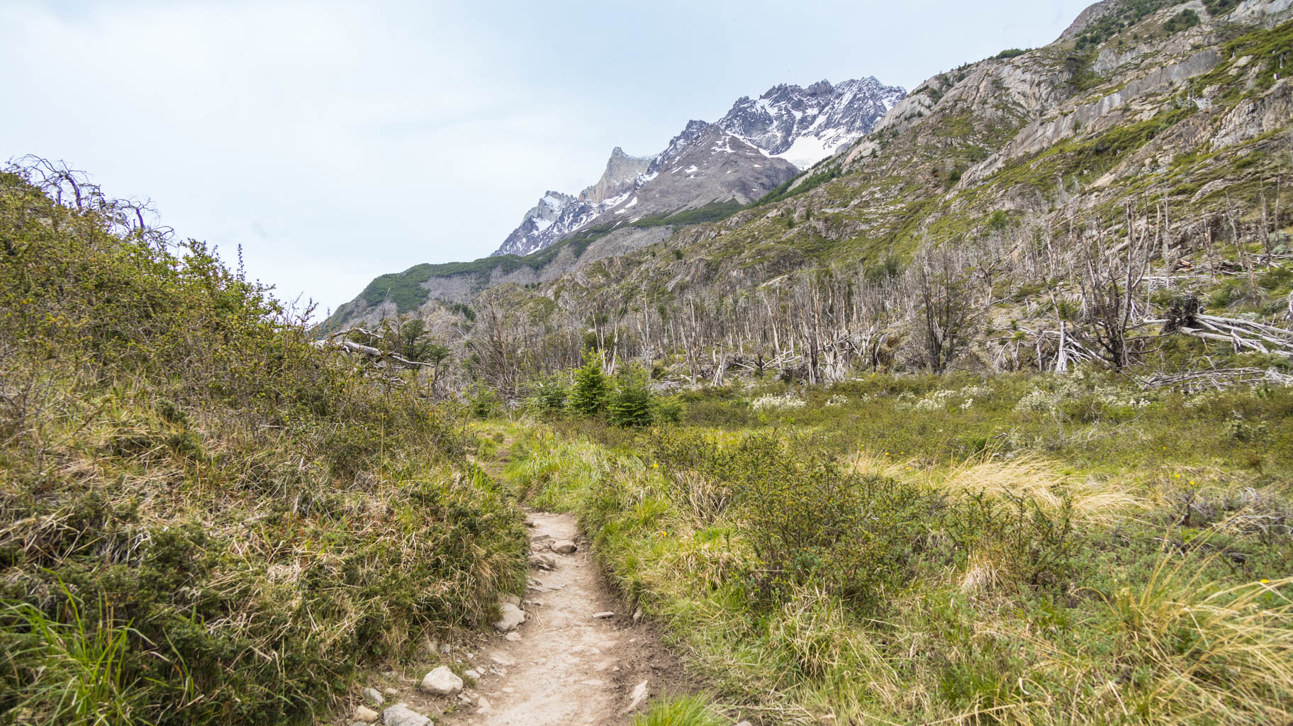
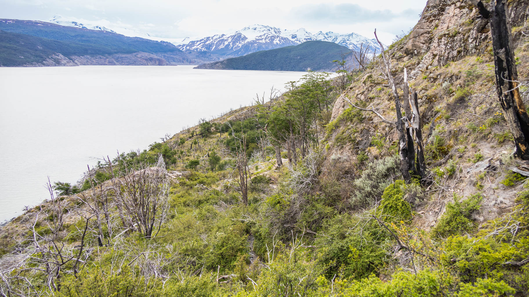
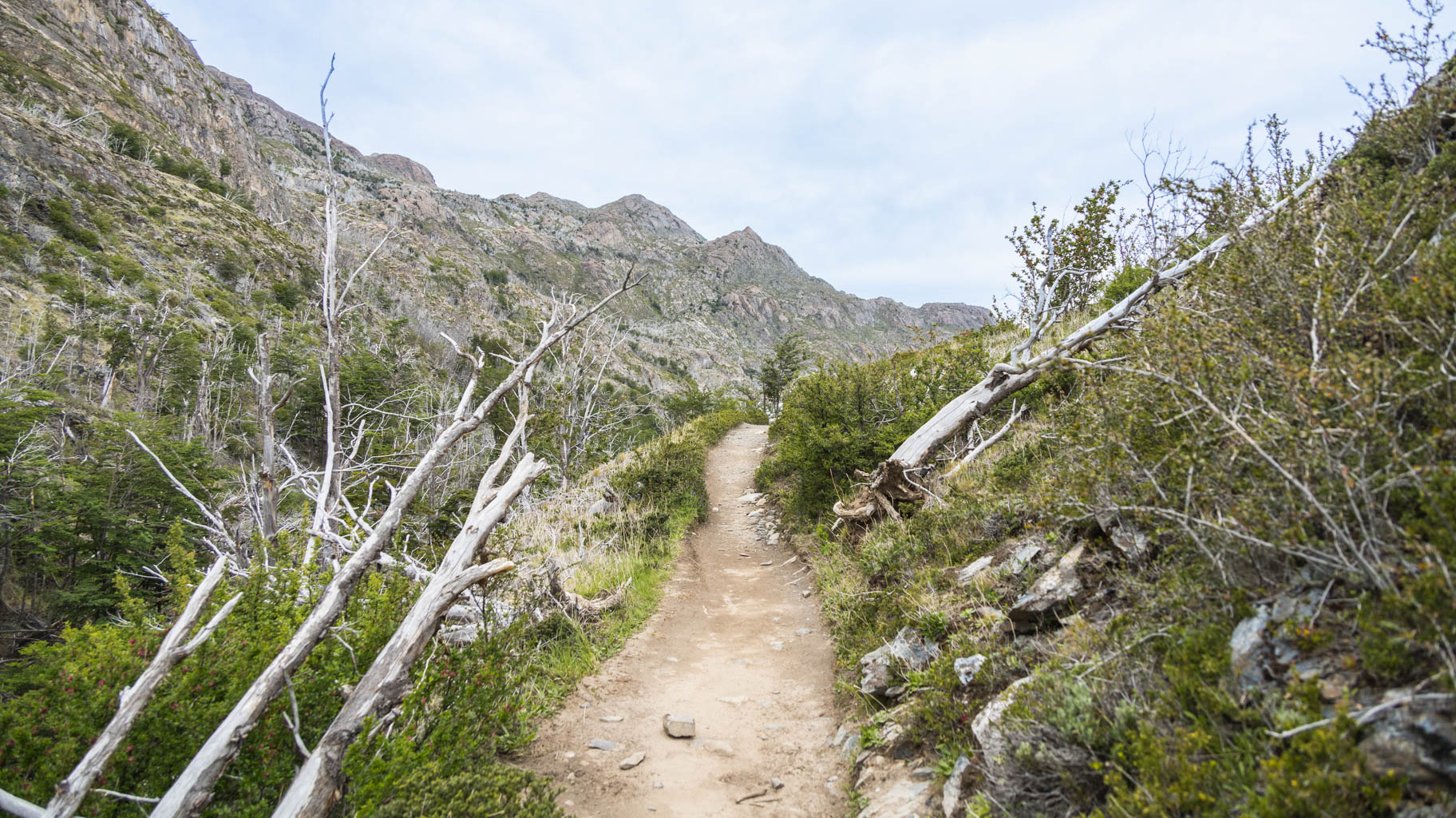
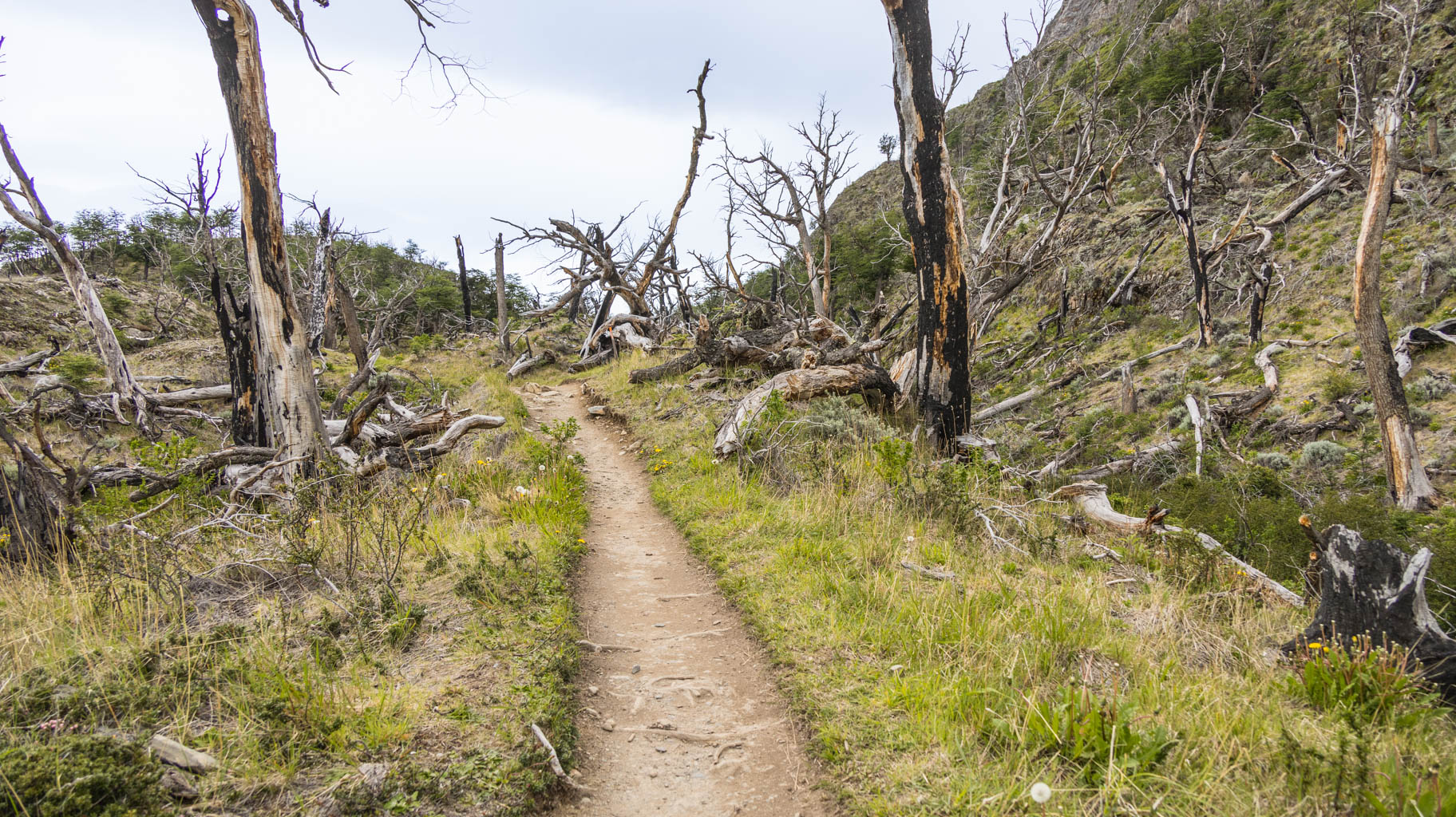
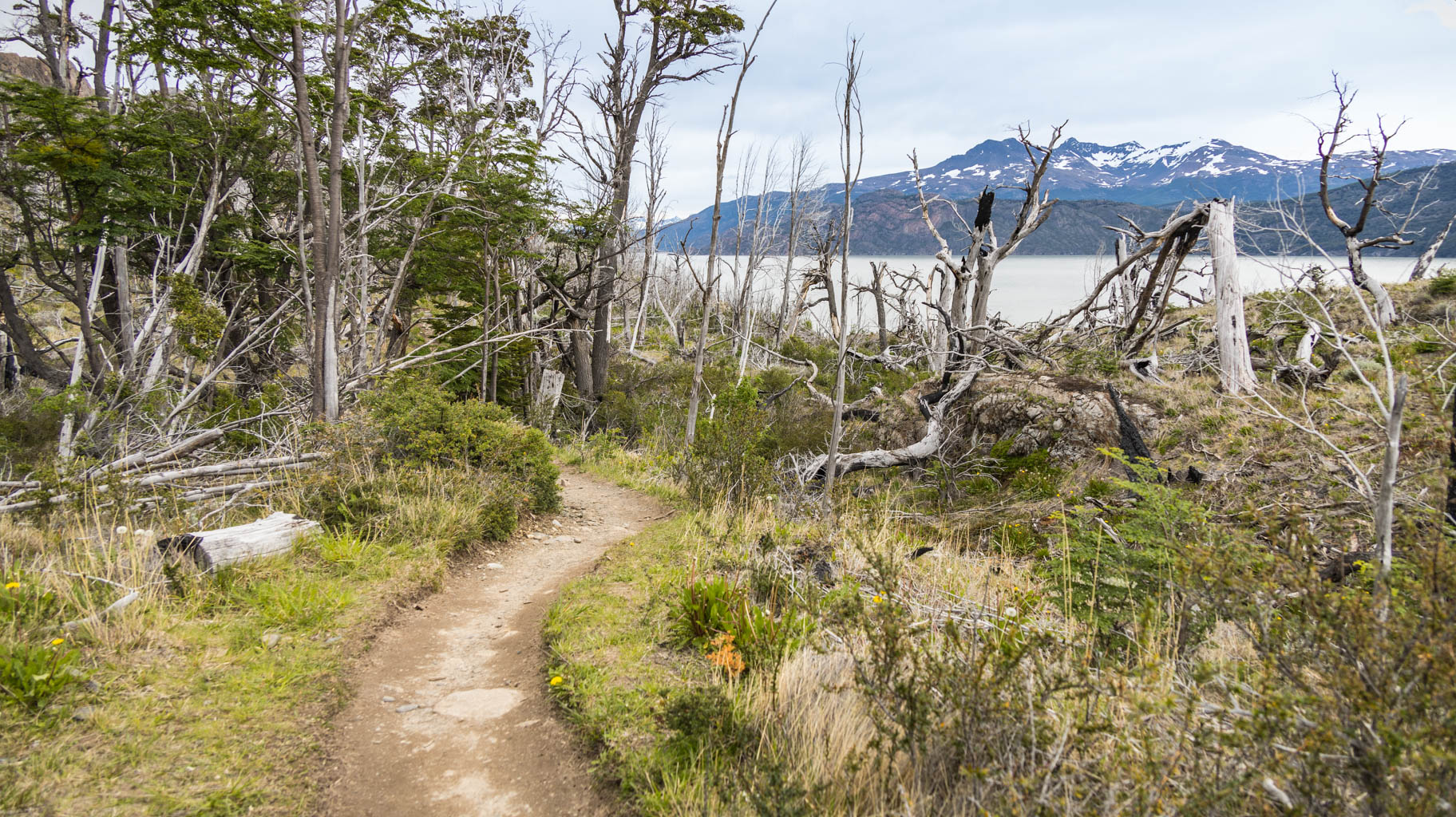
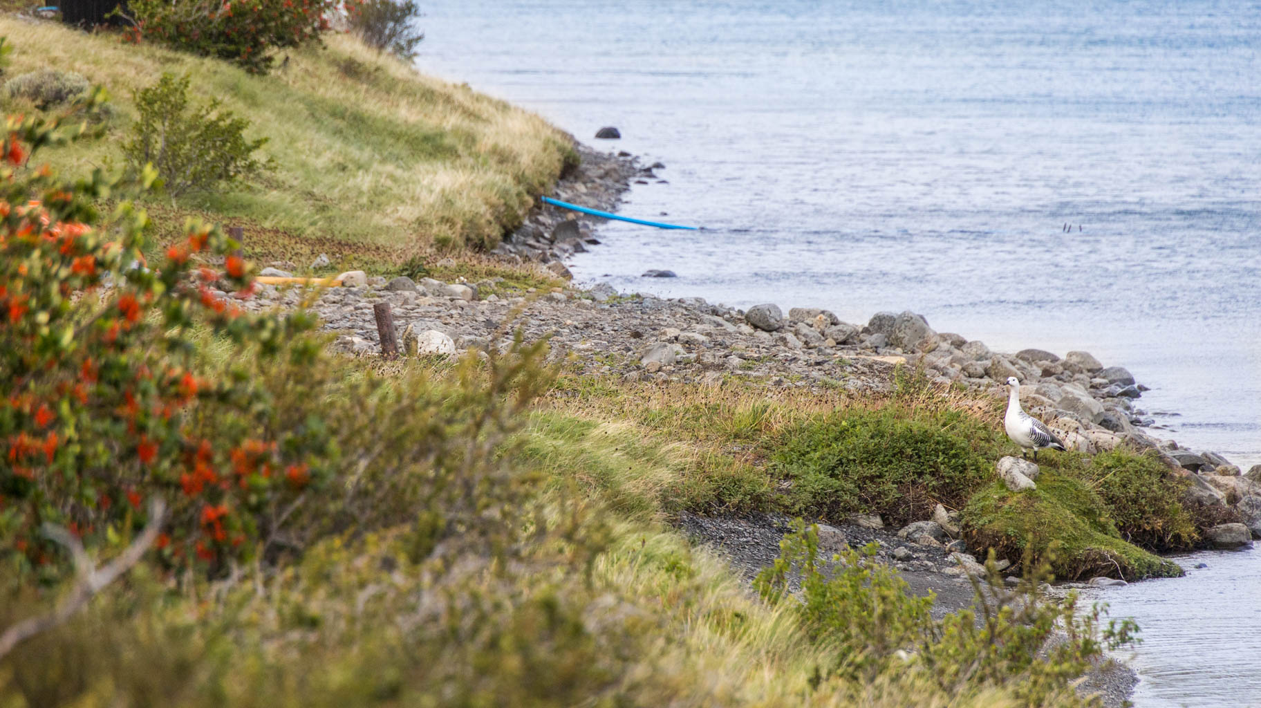
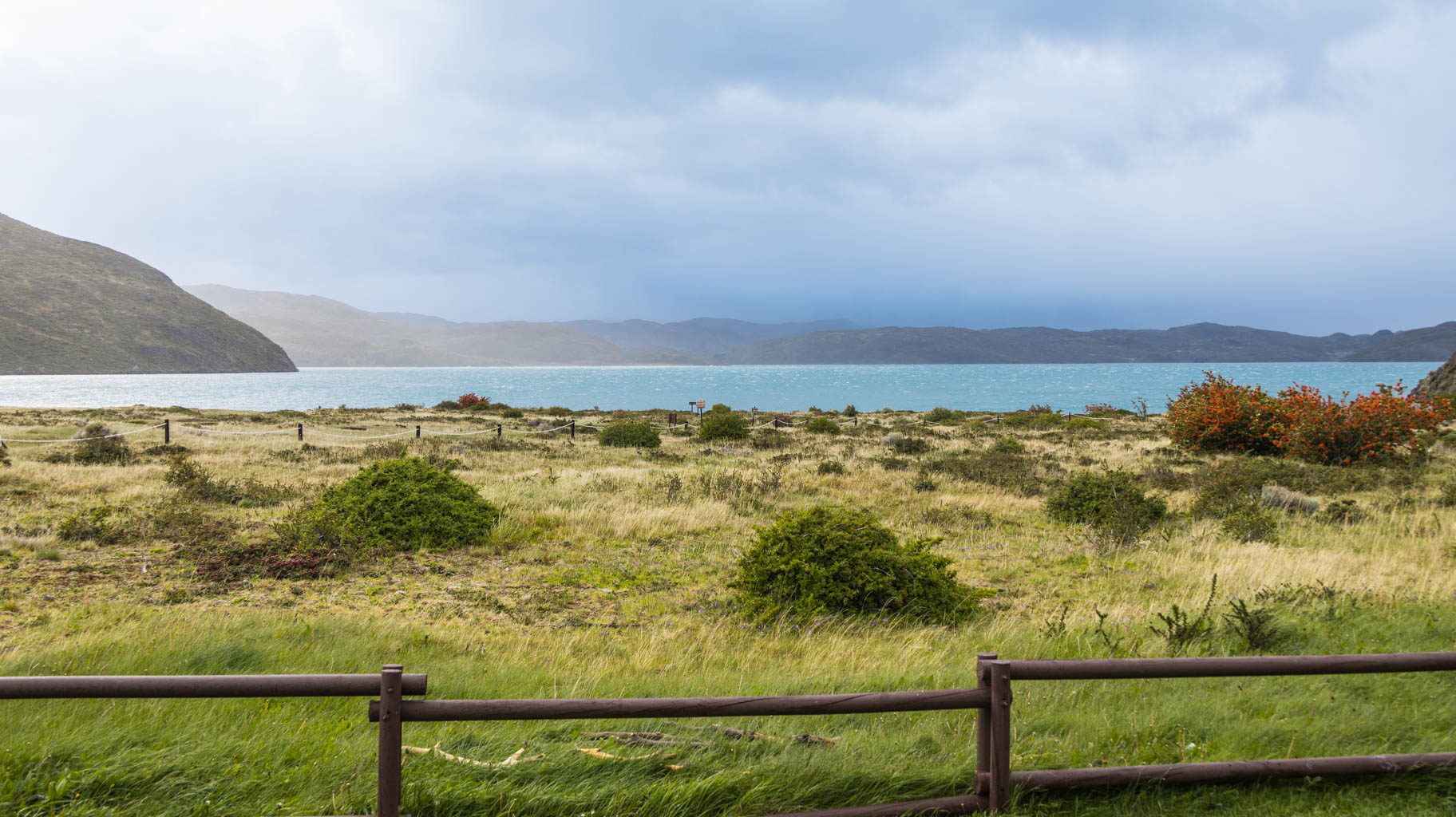
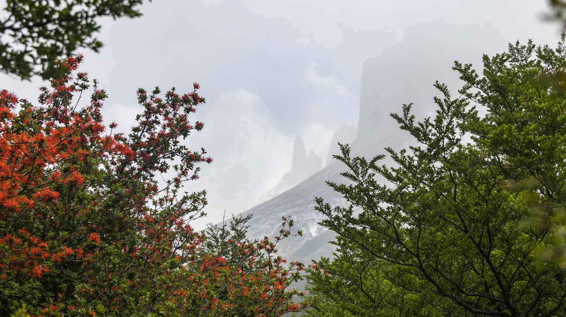
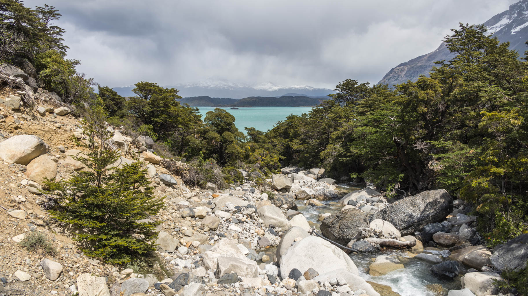
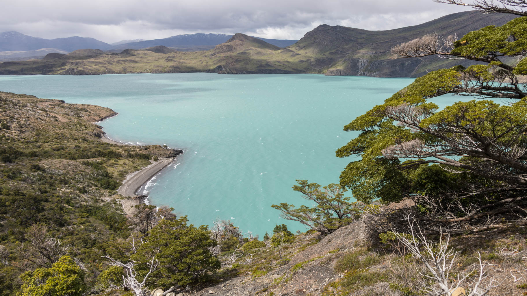
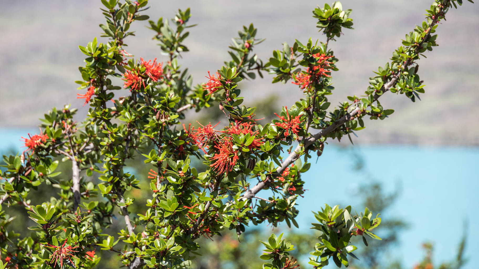
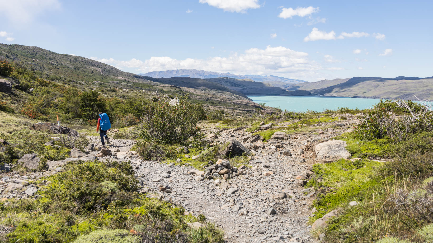
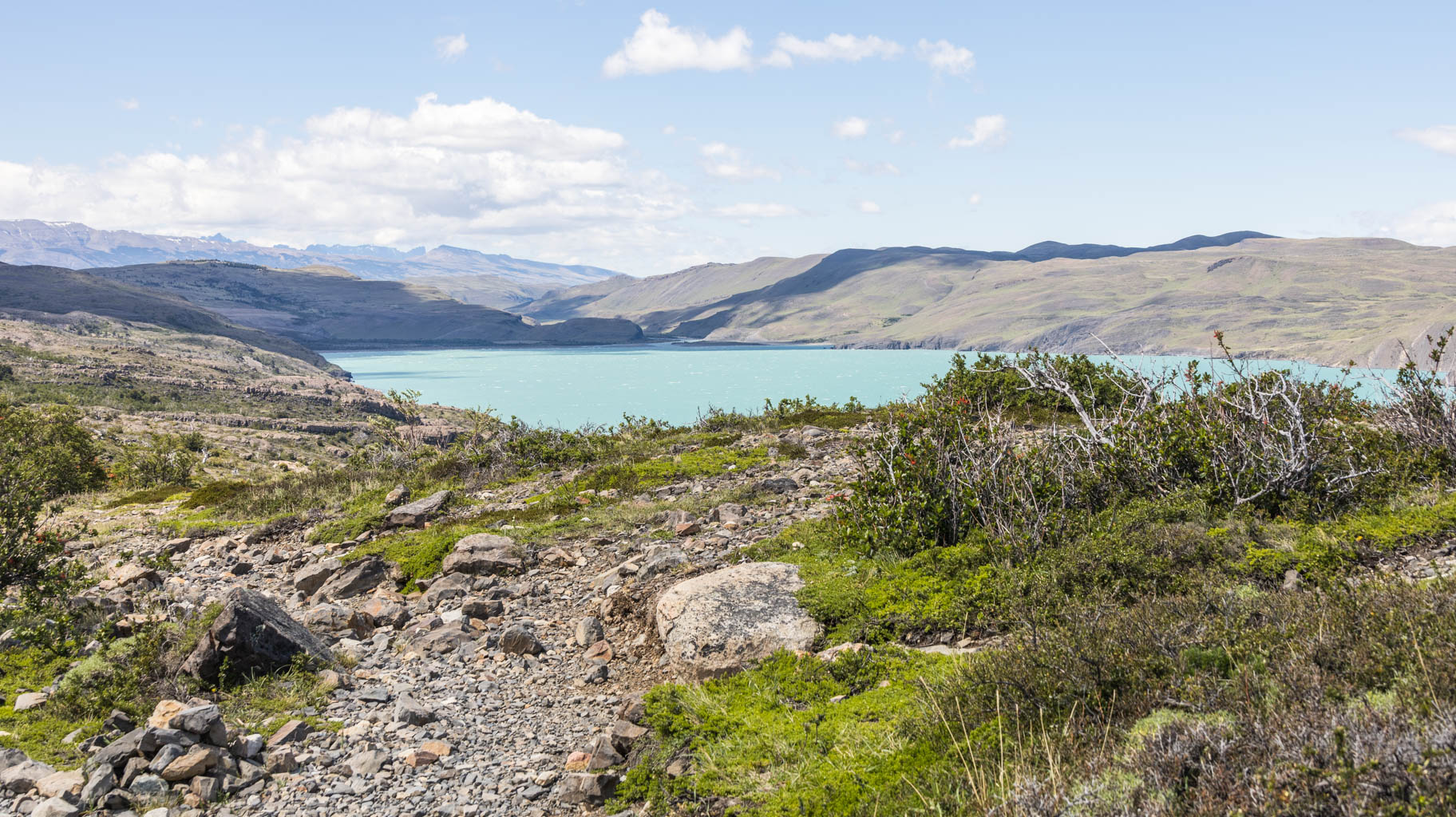
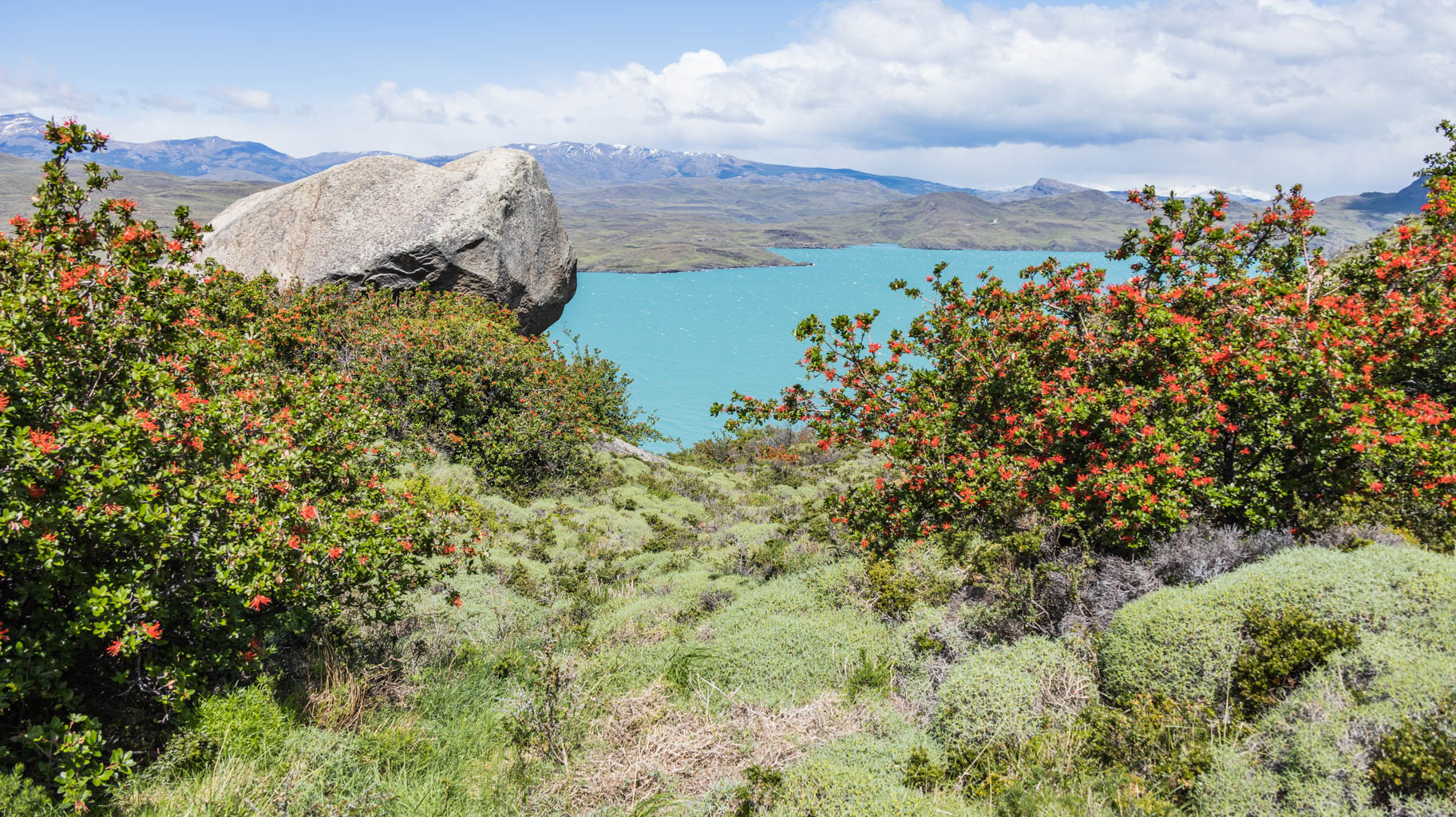
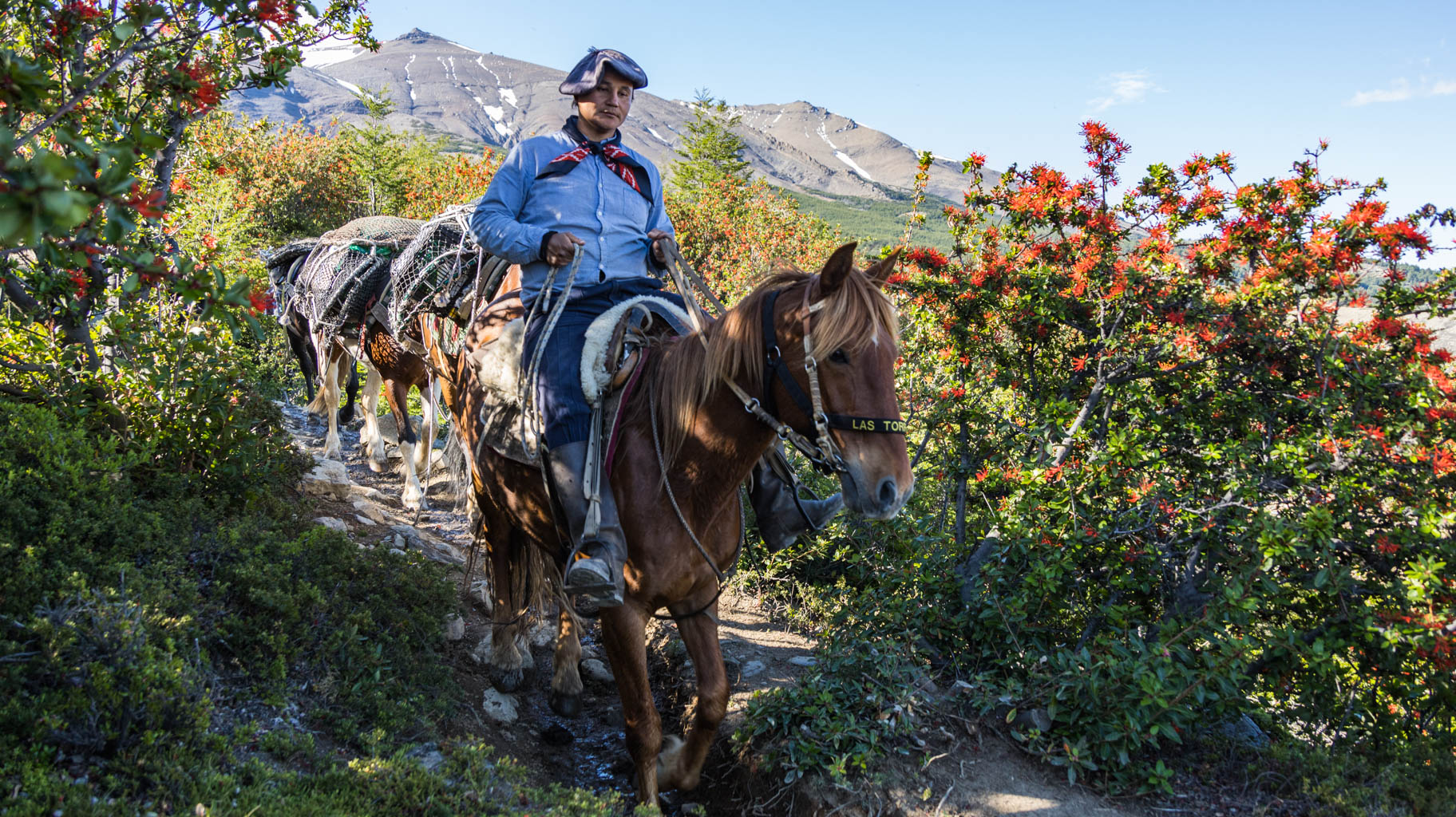
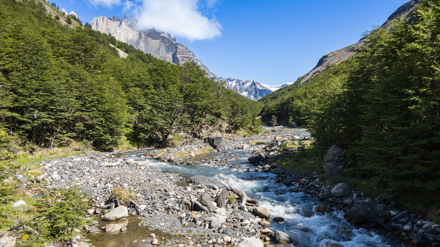
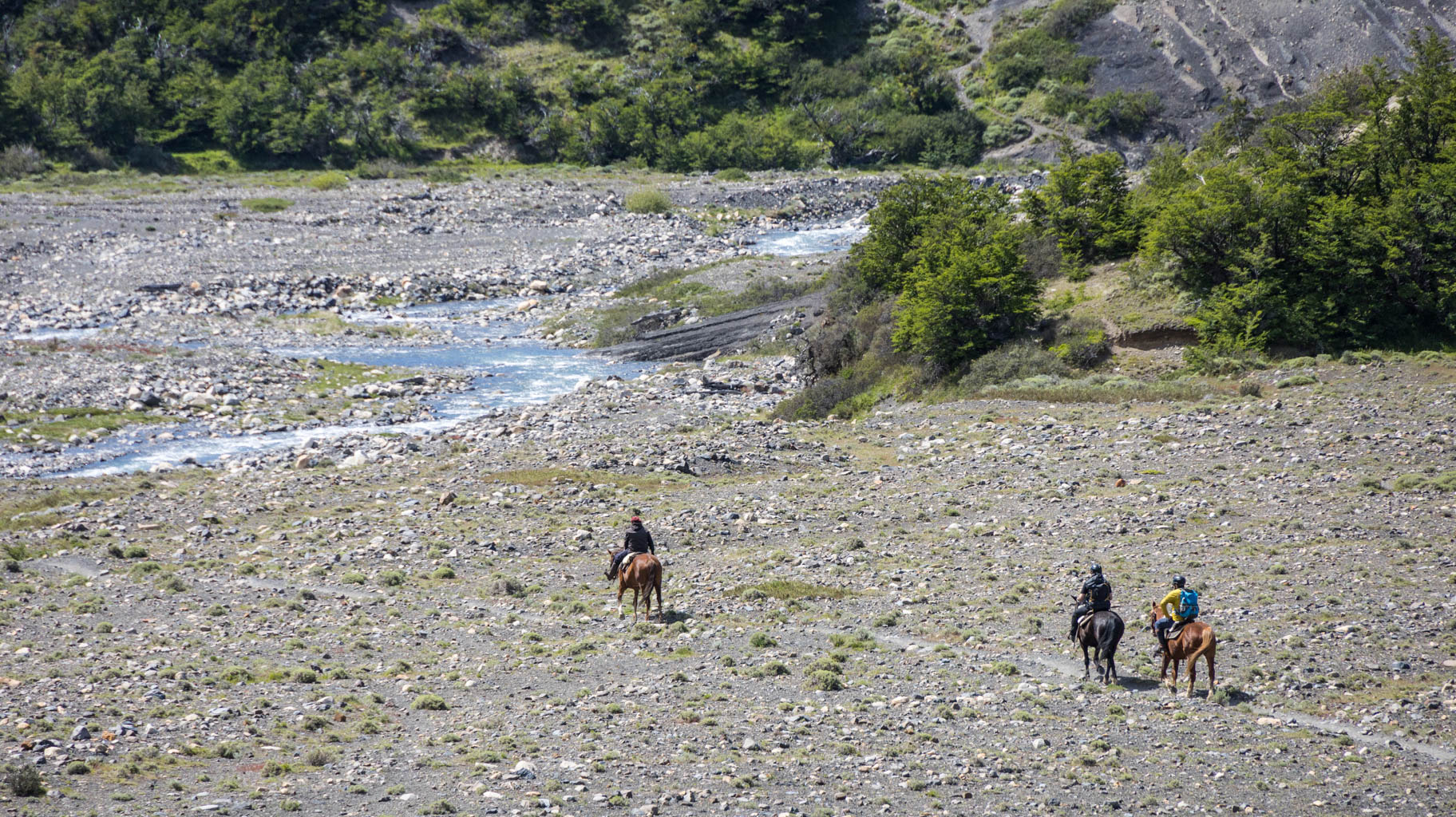
The trail is lined with bushes full of colorful flowers and scattered with dried-out trees that look like they were hit by a drought or some blight. In the background, we almost constantly have views of snow-covered peaks, while to the other side lies Lake Pehoé, and later, Lake Grey.
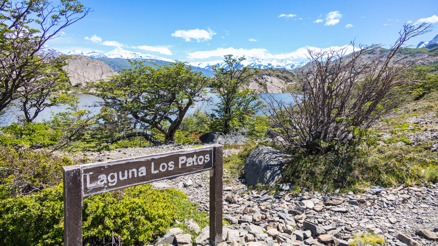
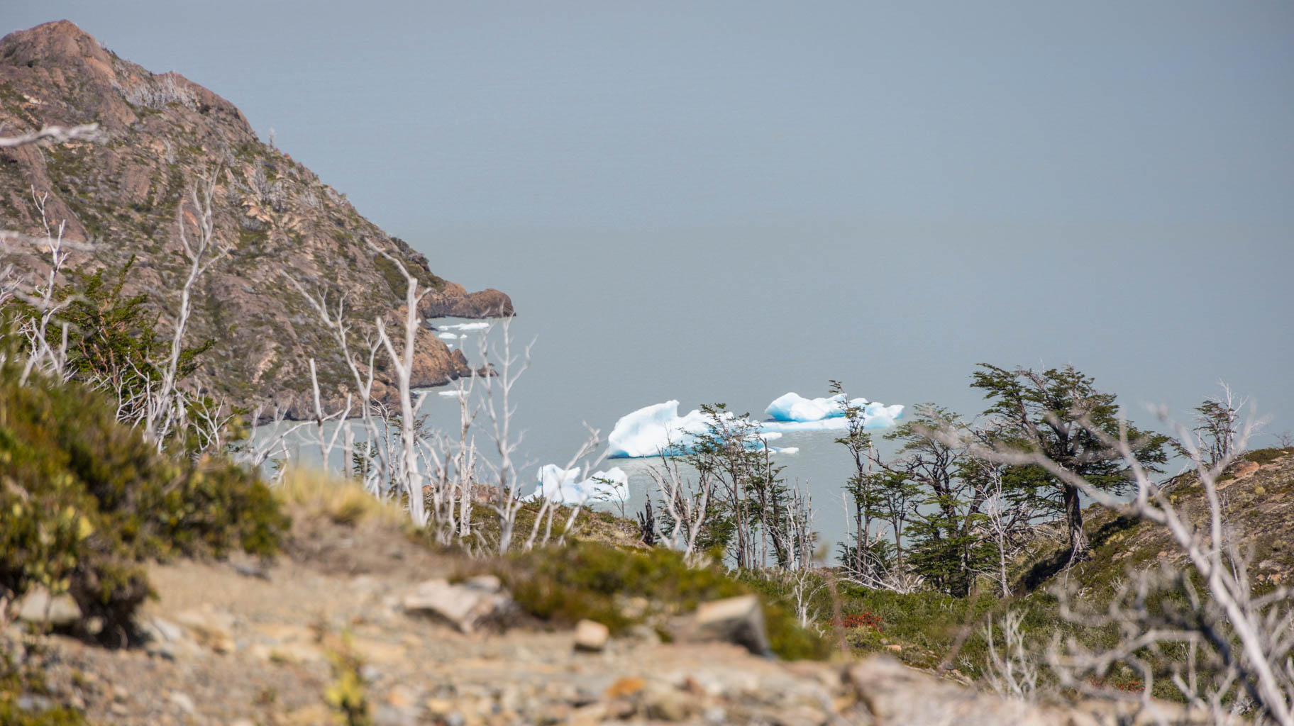
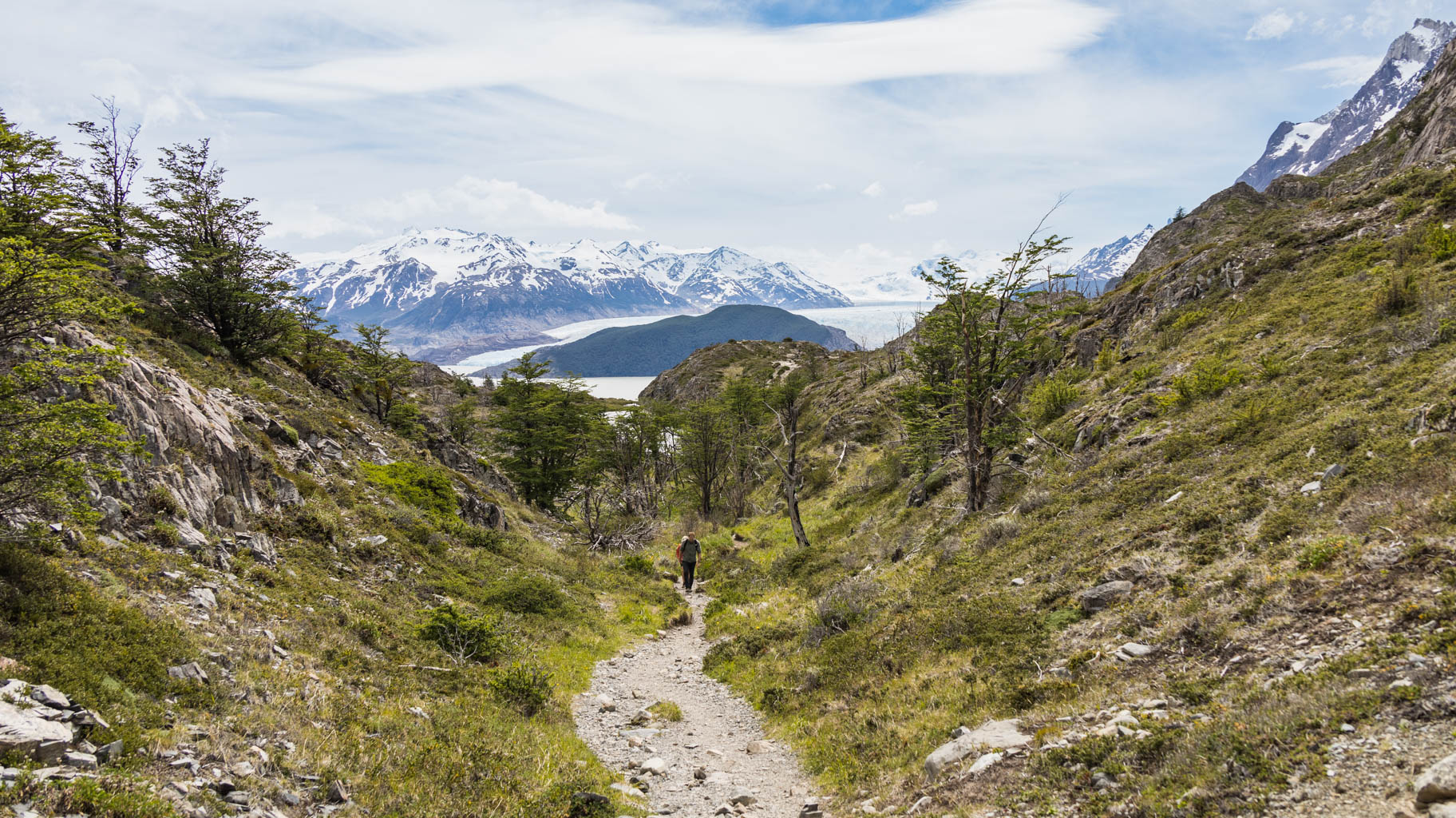
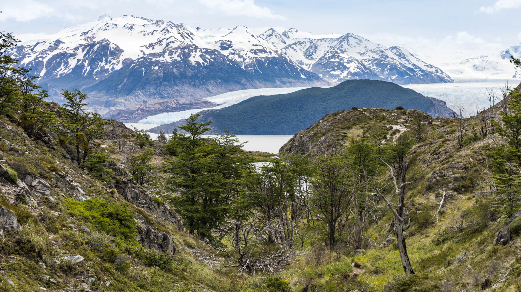
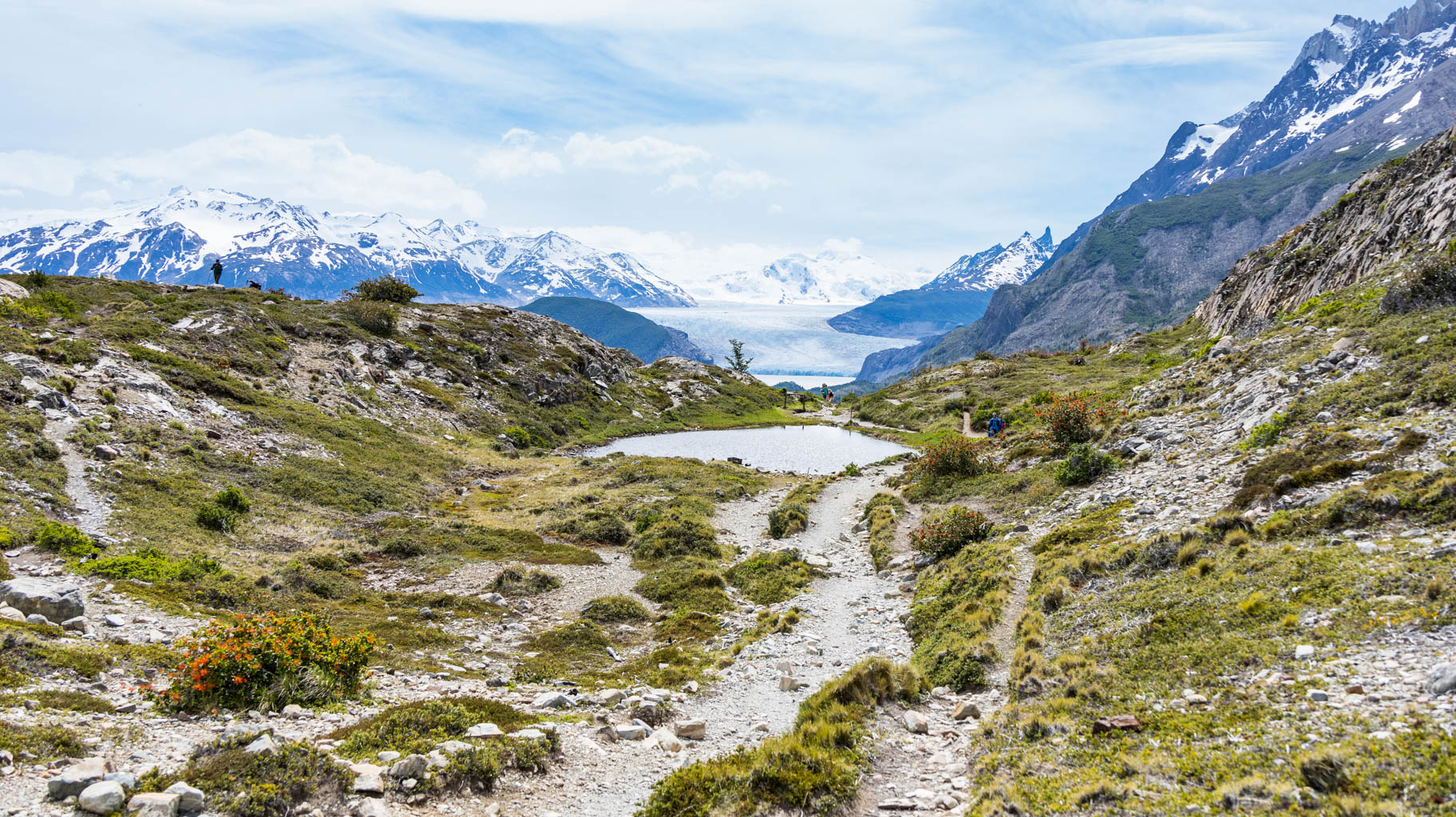
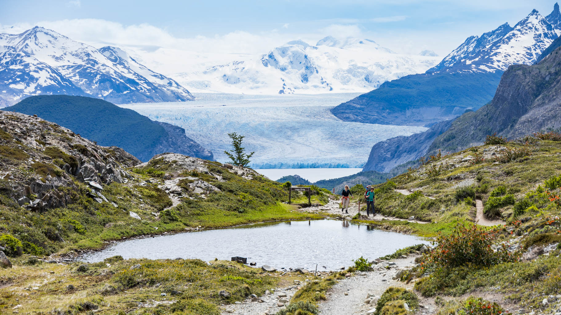
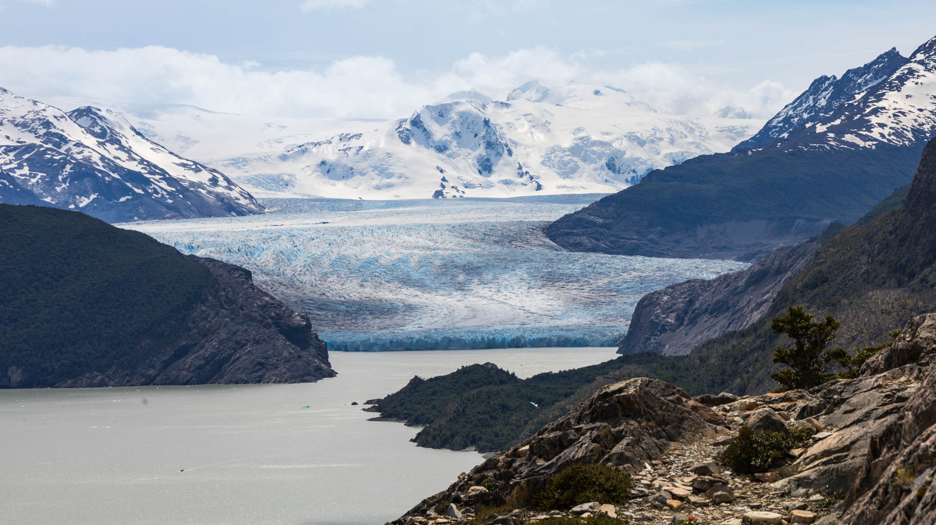
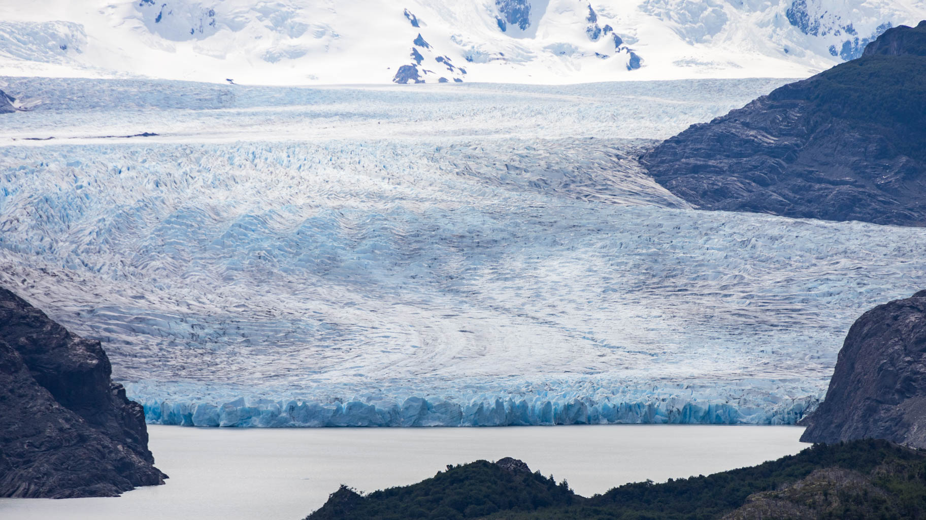
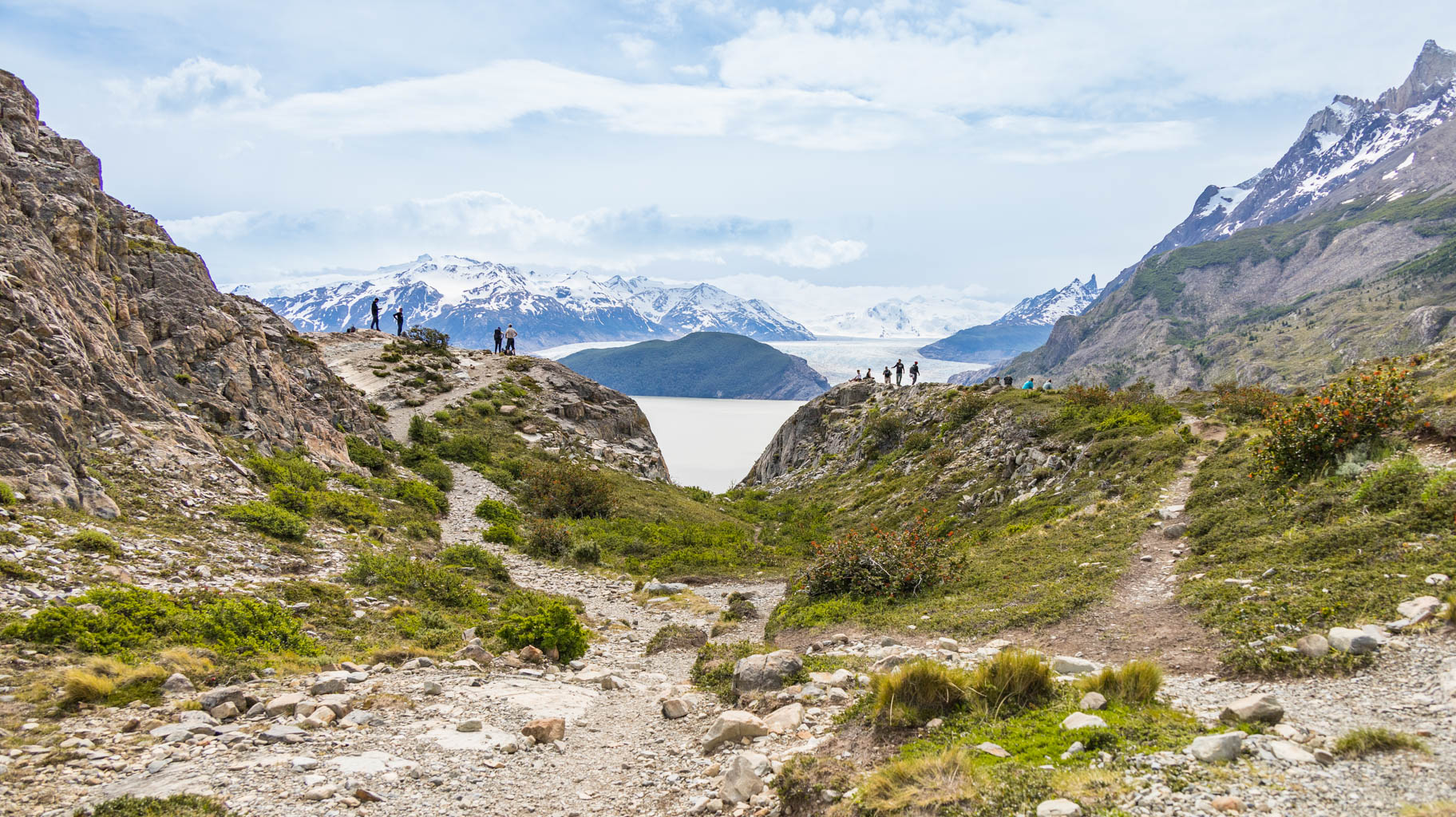
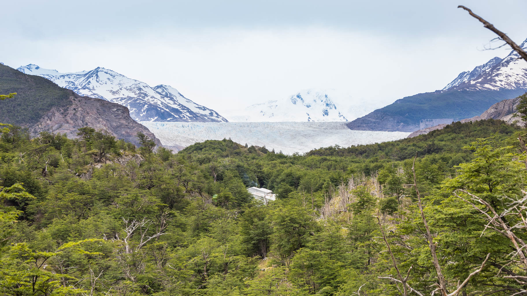
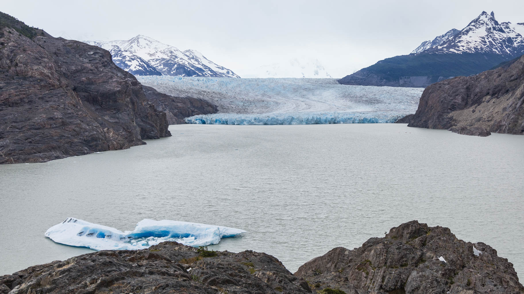
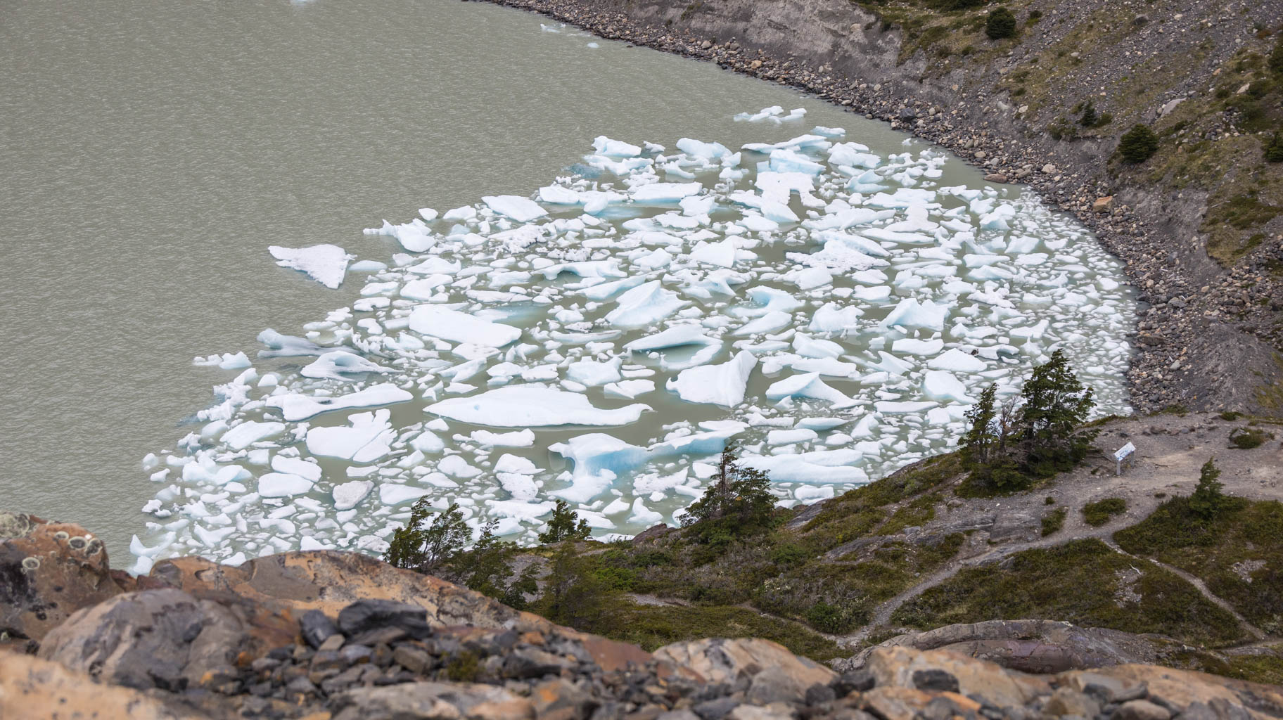
The section we’re hiking today is 11.5 km long. We first stop at the Los Patos viewpoint overlooking Lake Grey, and right at the halfway mark, we reach Mirador Grey—a viewpoint offering a fantastic view of the glacier and its long tongue of ice.
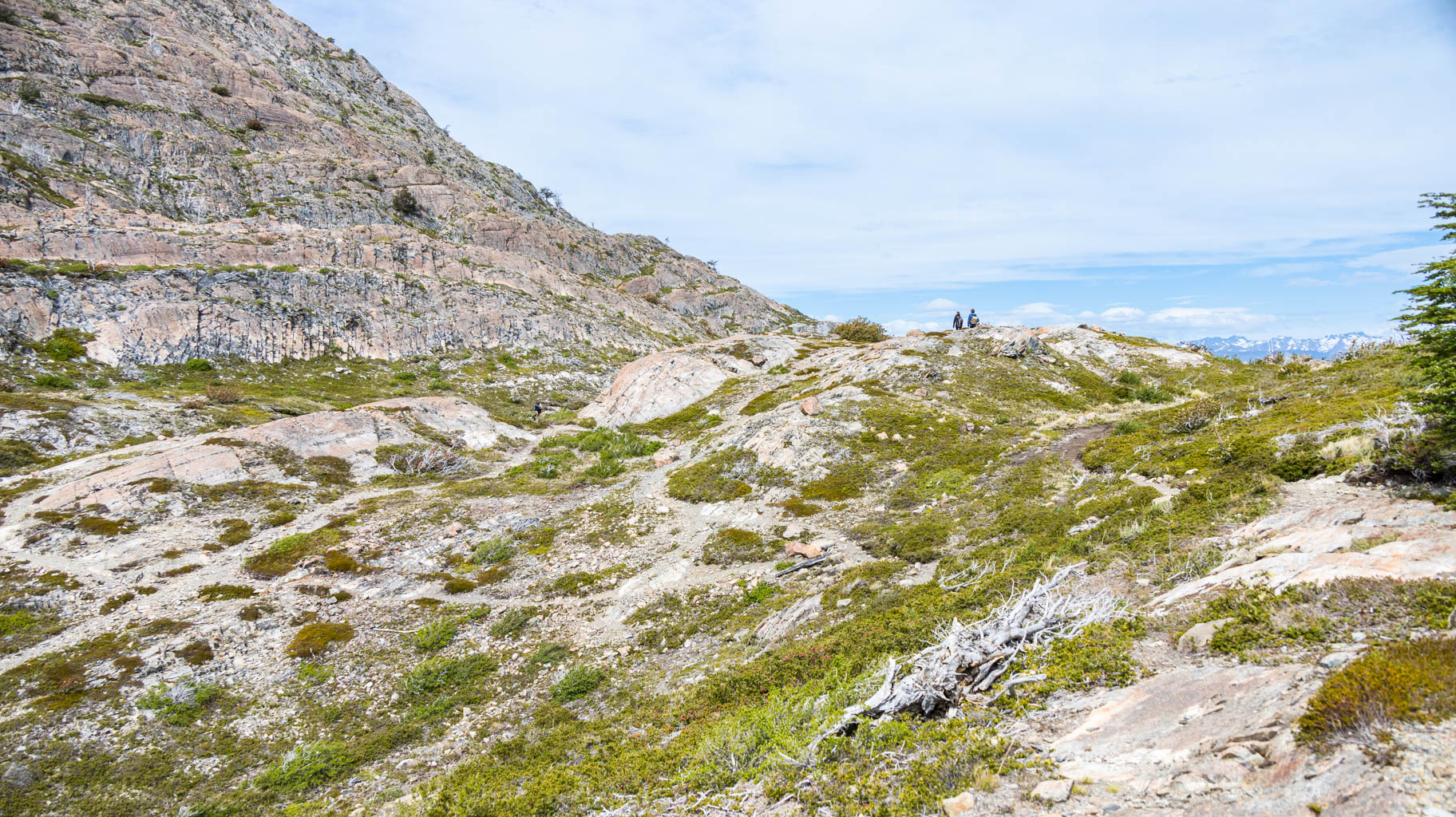
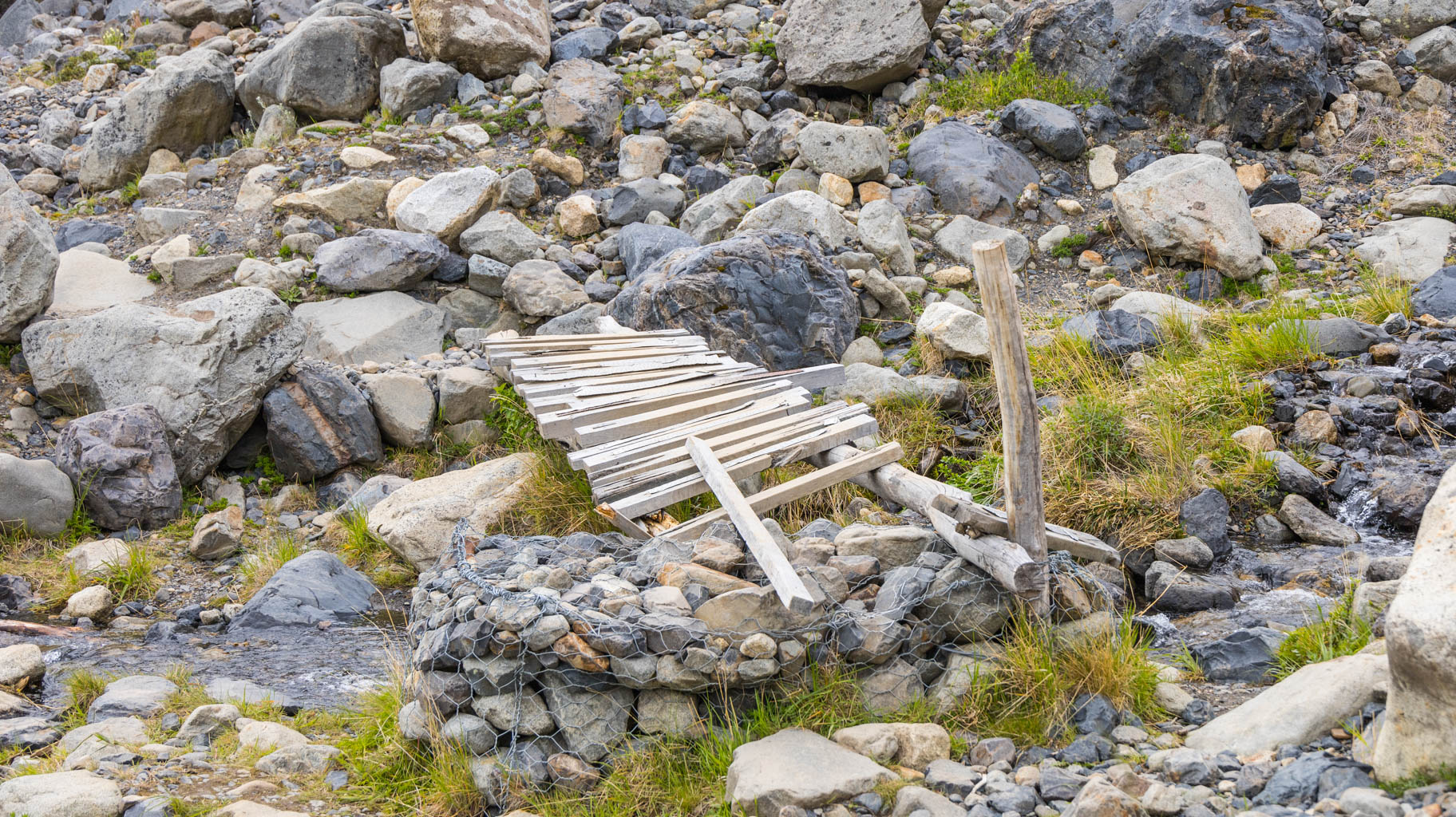
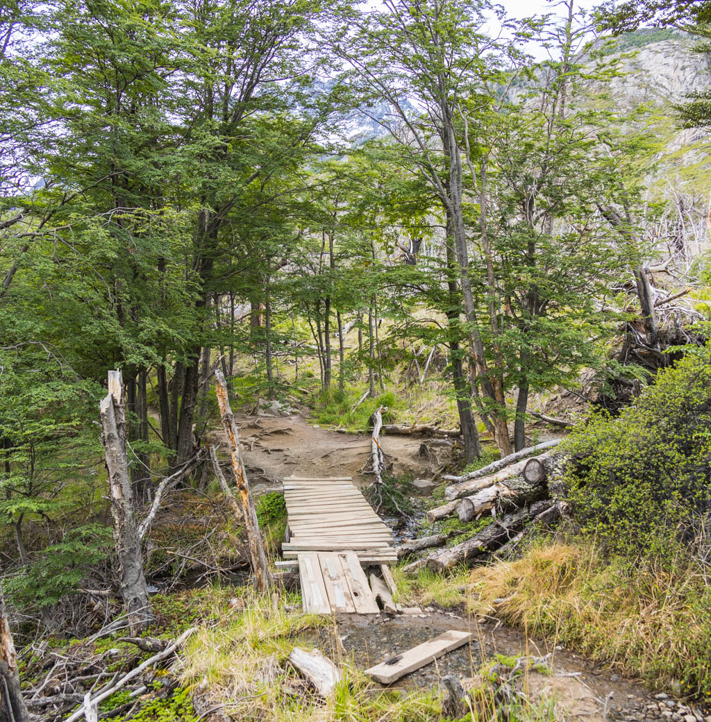
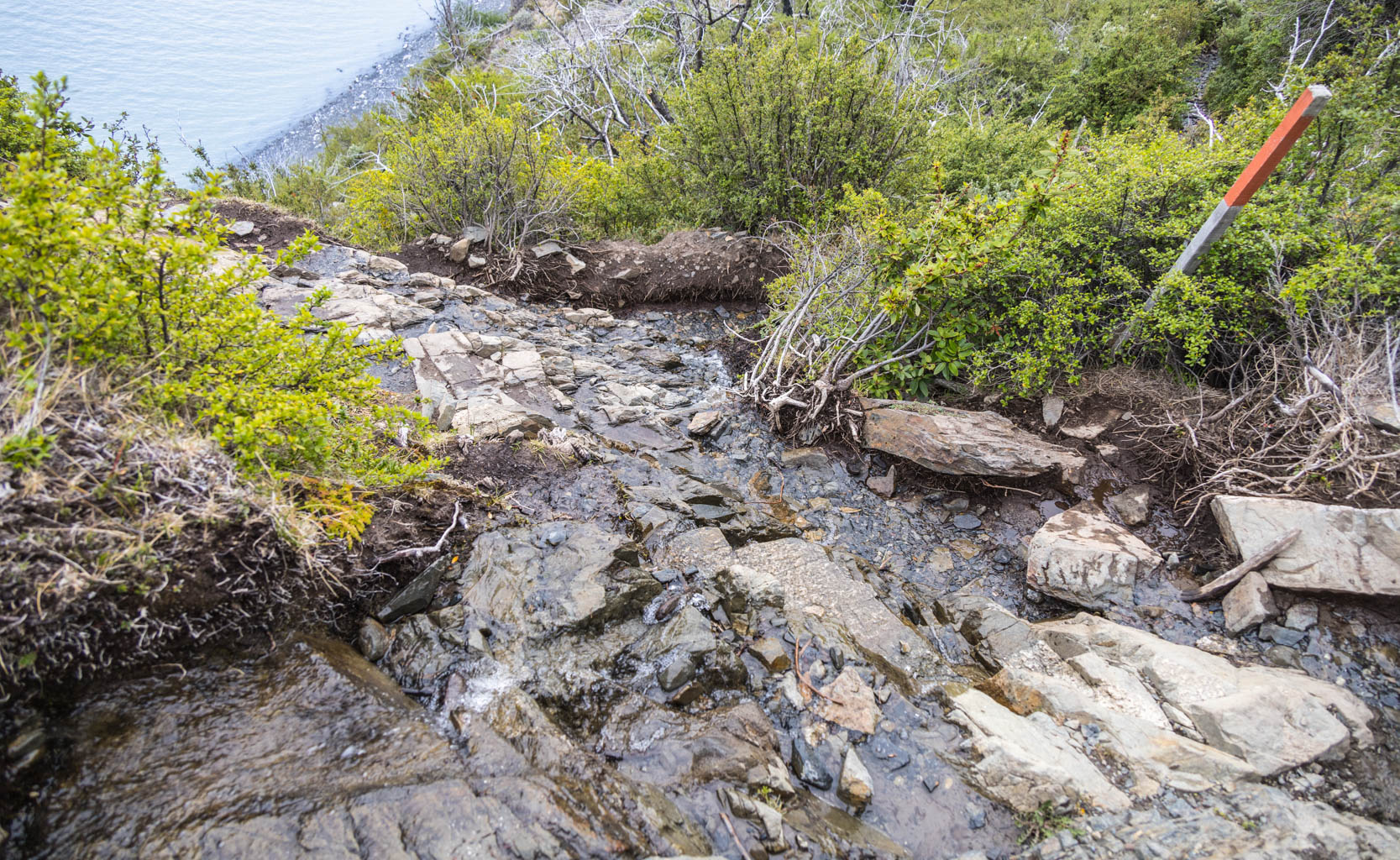
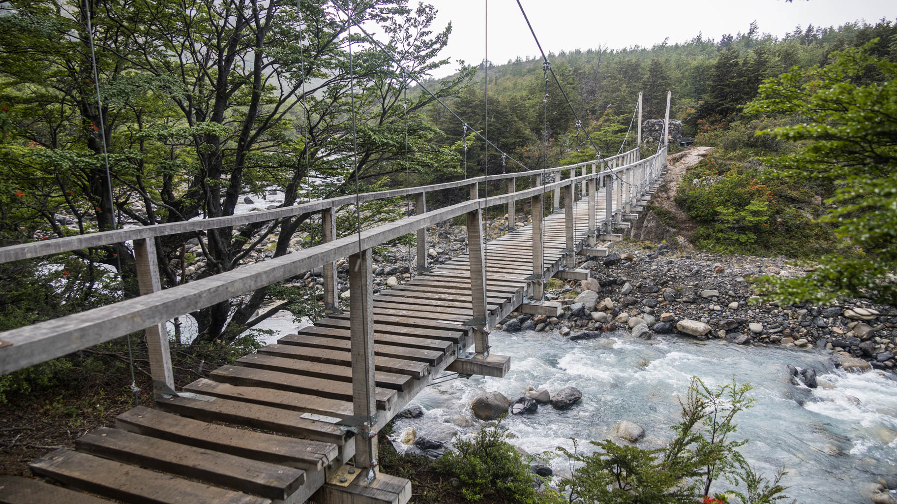
From here, the trail becomes much more demanding, descending through streams and steep slopes where it’s easy to slip or get your boots soaked.
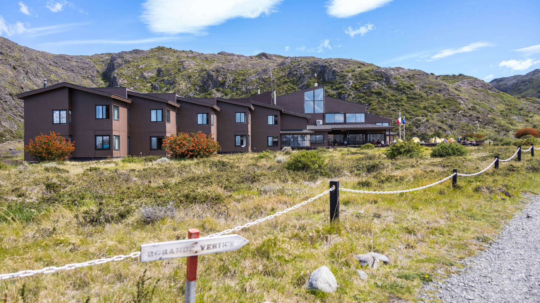
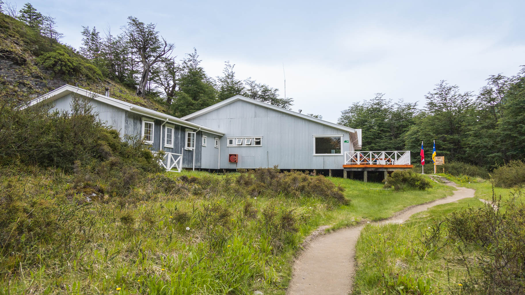
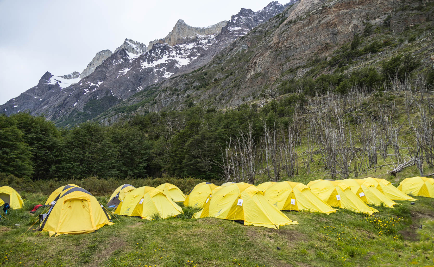
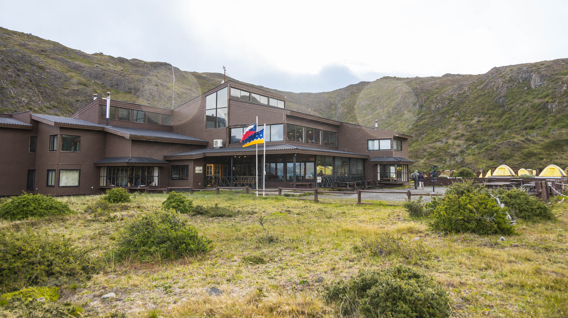
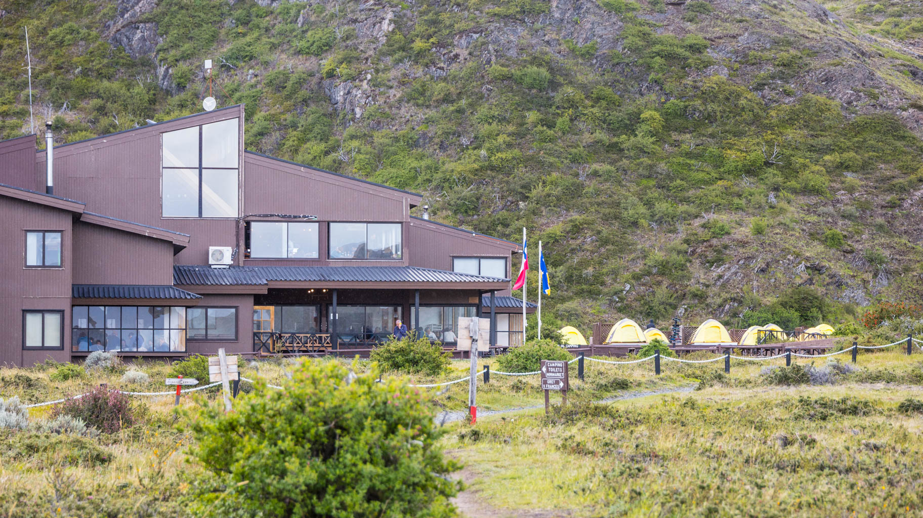
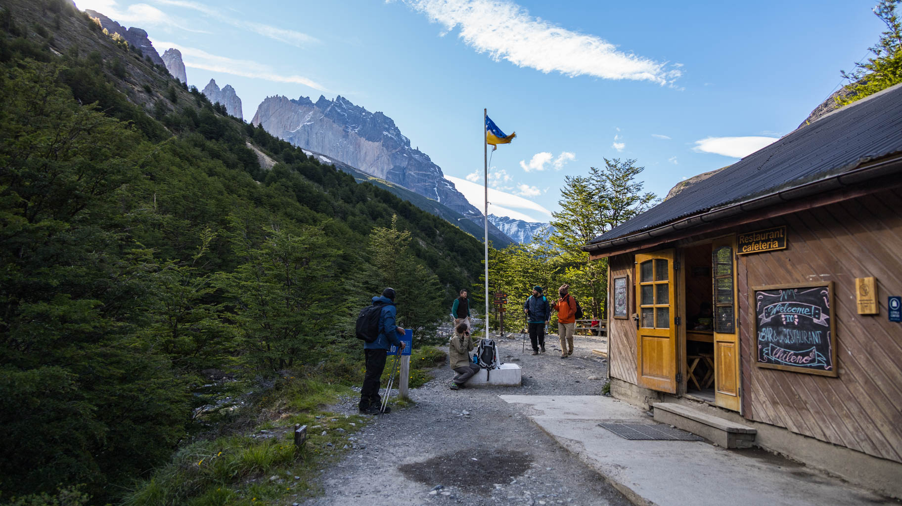
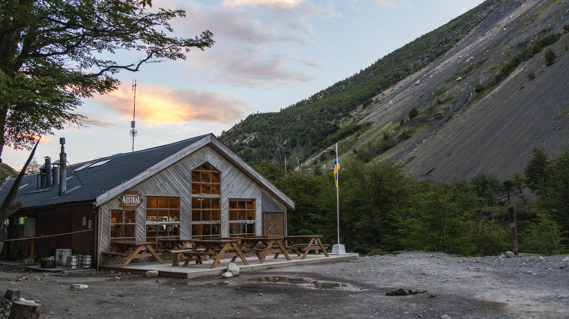
We arrive at the refuge around 5:00 PM, get assigned our tents, and receive meal vouchers. Dinner is served at 8:00 PM.
We leave our heavy backpacks at the tent and go for a short walk to another nearby viewpoint of the glacier. From there, we return to camp for a hot shower and dinner.
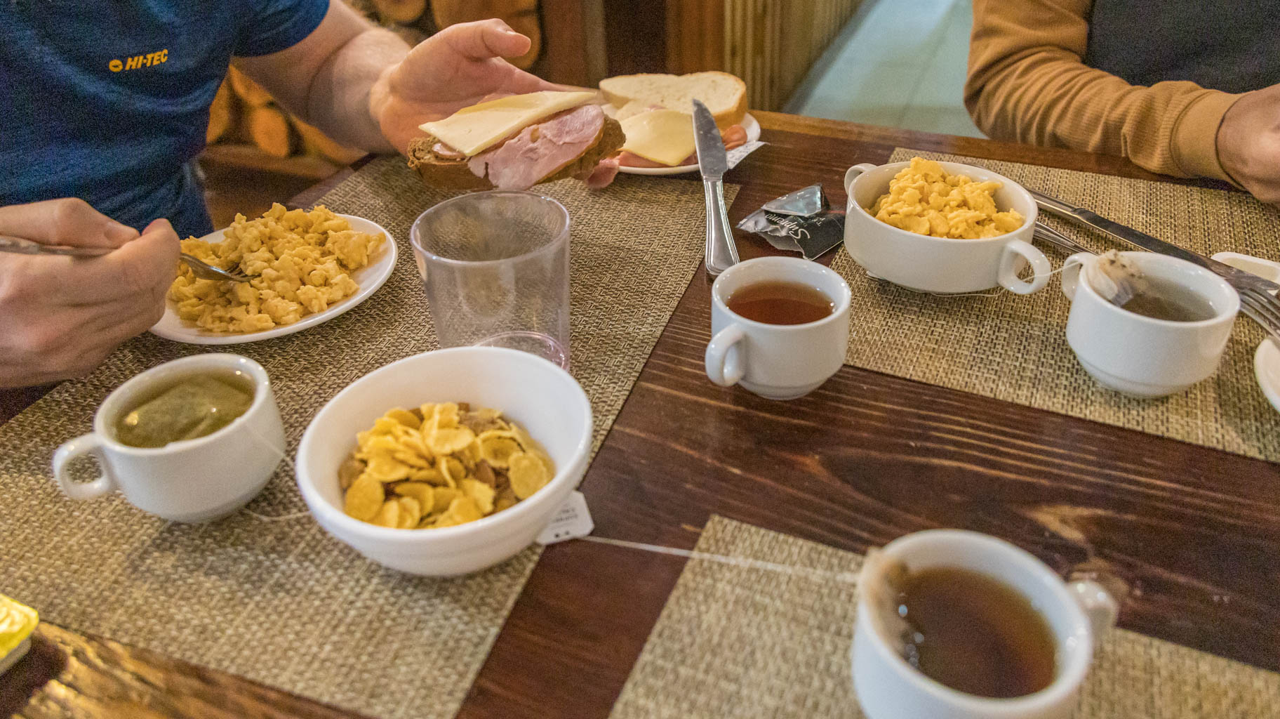
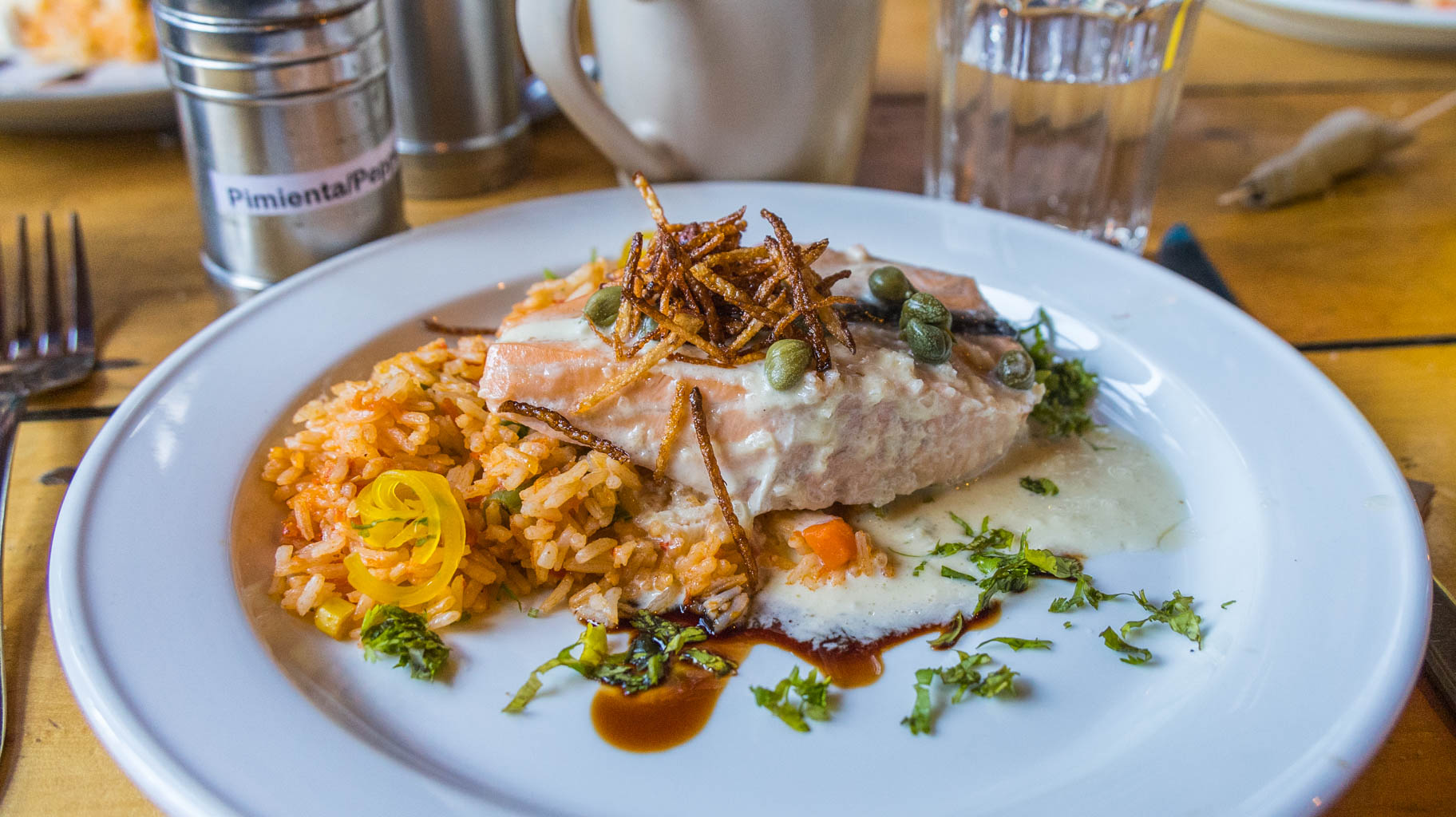
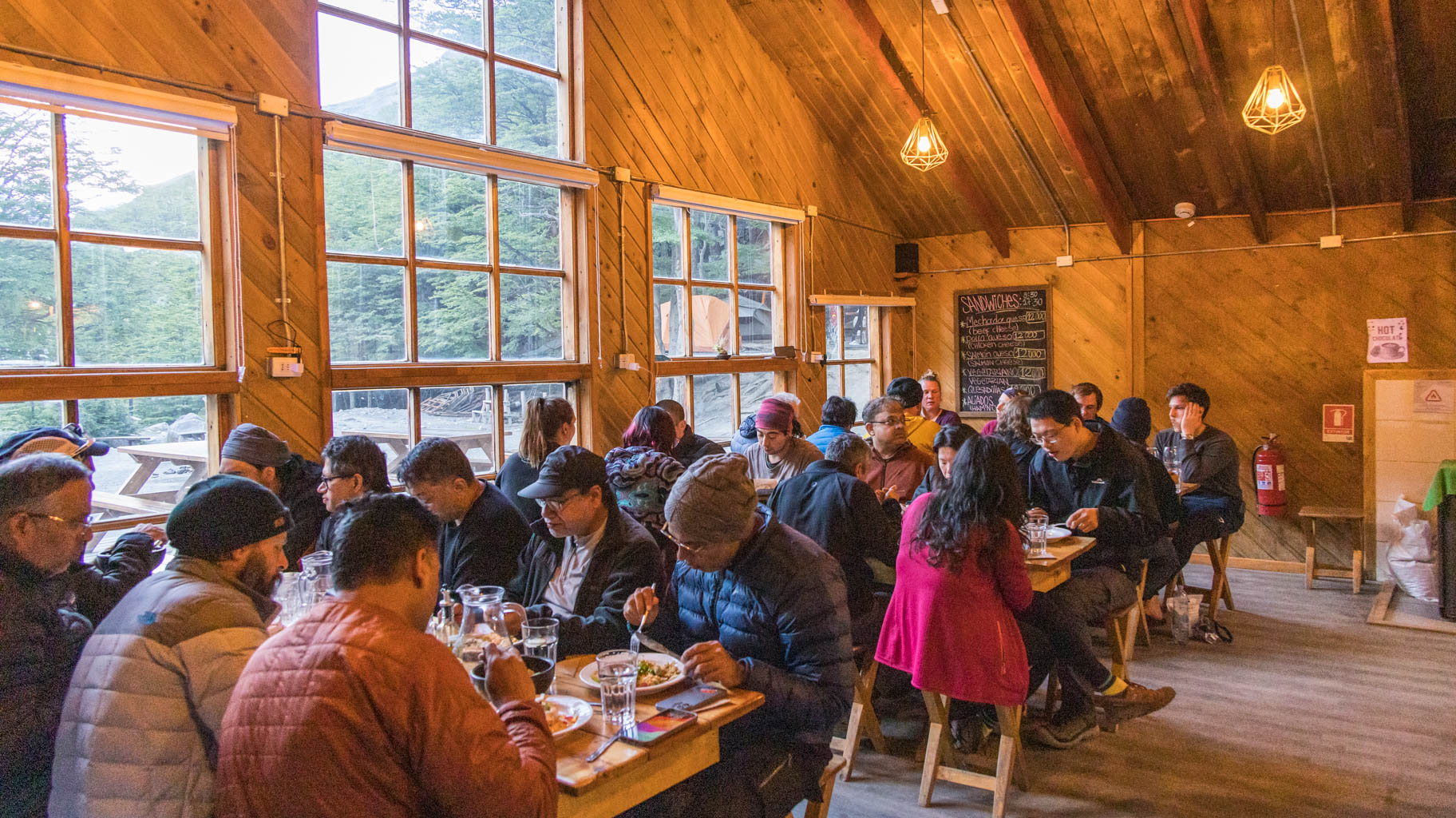
The main course includes a choice of chicken, beef, rice, beans, and pasta (you can try a bit of everything). There’s also an open buffet with a variety of salads and desserts.
It’s no surprise there’s plenty of food, considering that dinner, breakfast, and a packed lunch for the trek cost $110.


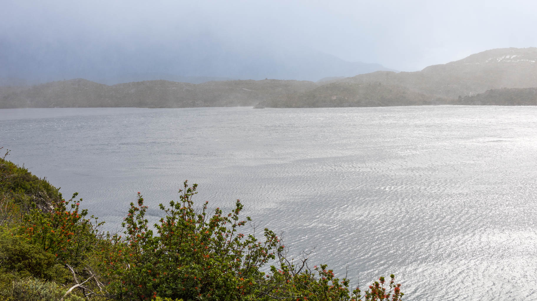
We leave around 9:00 AM. We want to reach Paine Grande as early as possible because rain and strong winds are forecasted for the second half of the day. Unfortunately, after about an hour, the wind, rain, and very low temperatures make the hike quite difficult.
The weather changes like a kaleidoscope—it clears up for a moment only to start raining again shortly after.
If you’re planning a trip, it’s worth bringing good clothing because today it really came in handy, and it’s highly likely that it will be useful again tomorrow, as the forecasts are not optimistic.
At Paine Grande, we learn how best to organize the rest of the trail. Tomorrow, we’ll have a long hike, but along the way, we’ll be able to leave our backpacks at Refugio Italiano, so we can continue to the Mirador Britanico, one of the main viewpoints in Torres del Paine, carrying only light gear. On the way back, we’ll pick up our bags and head to Cuernos, where we have our next night’s accommodation booked.
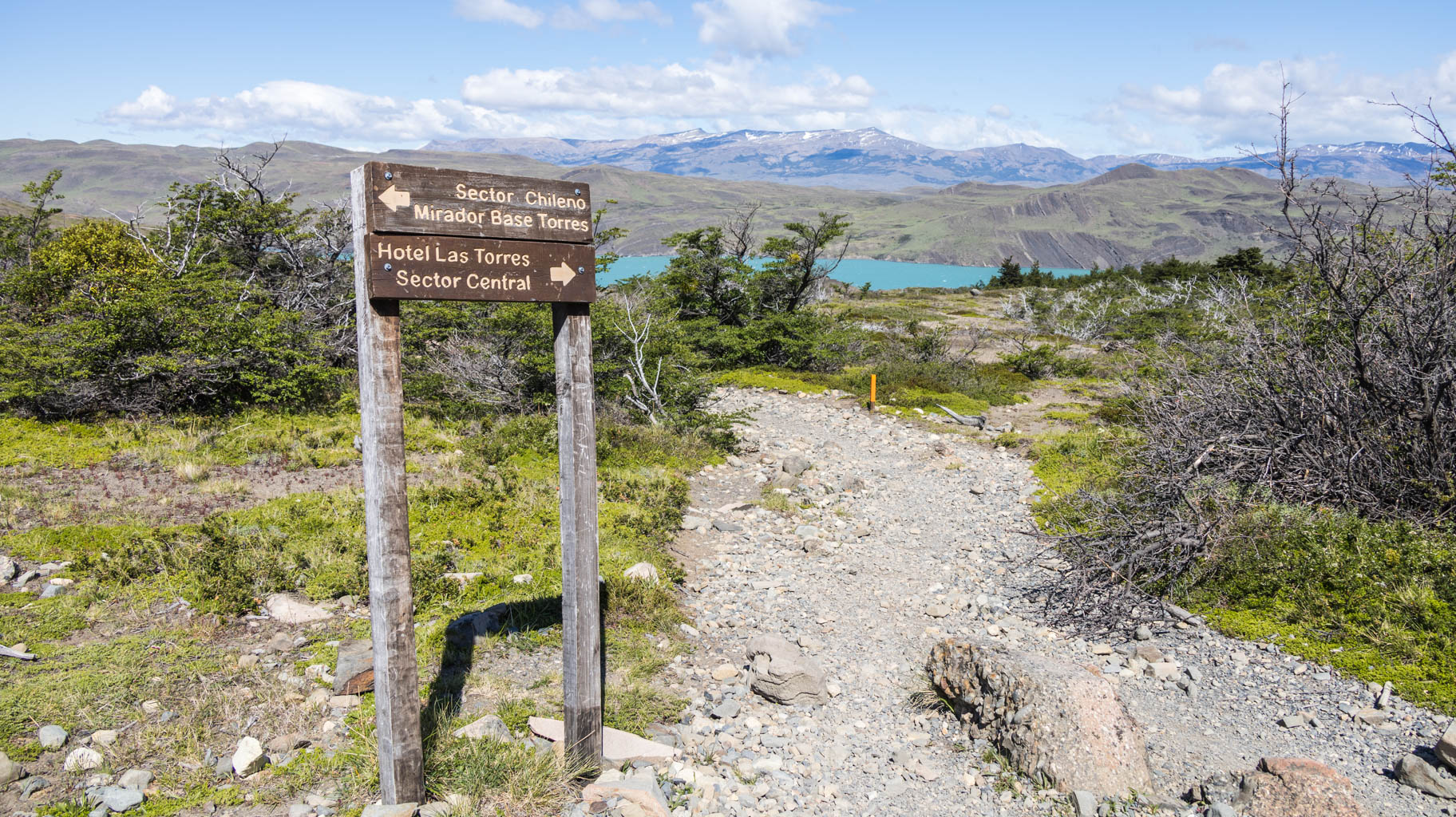
The following day will involve trekking from Refugio Cuernos to Refugio Chileno, and on the last day, we’ll visit the viewpoint overlooking Lago Torres before returning to Chileno, and then it’s still a 2.5 km walk to the bus stop, from where we’ll be able to reach the Amarga car park, where our car is waiting.
Today is the toughest day of the entire trek because we have to cover 25 km, half of which we will do with heavy backpacks. On top of that, the weather doesn’t make things any easier. Practically as soon as we start, it begins to rain heavily and the wind picks up, with gusts so strong that they push us sideways, while the pouring rain makes our Gore-Tex jackets not entirely effective. However, the XL-size rain poncho, worn over the Gore-Tex jacket and the backpack, does the job. Unfortunately, the shoes quickly become soaked.
After eight kilometers of such conditions and carrying sixteen kilograms on our backs, we reach Refugio Italiano, where we manage to leave our backpacks.
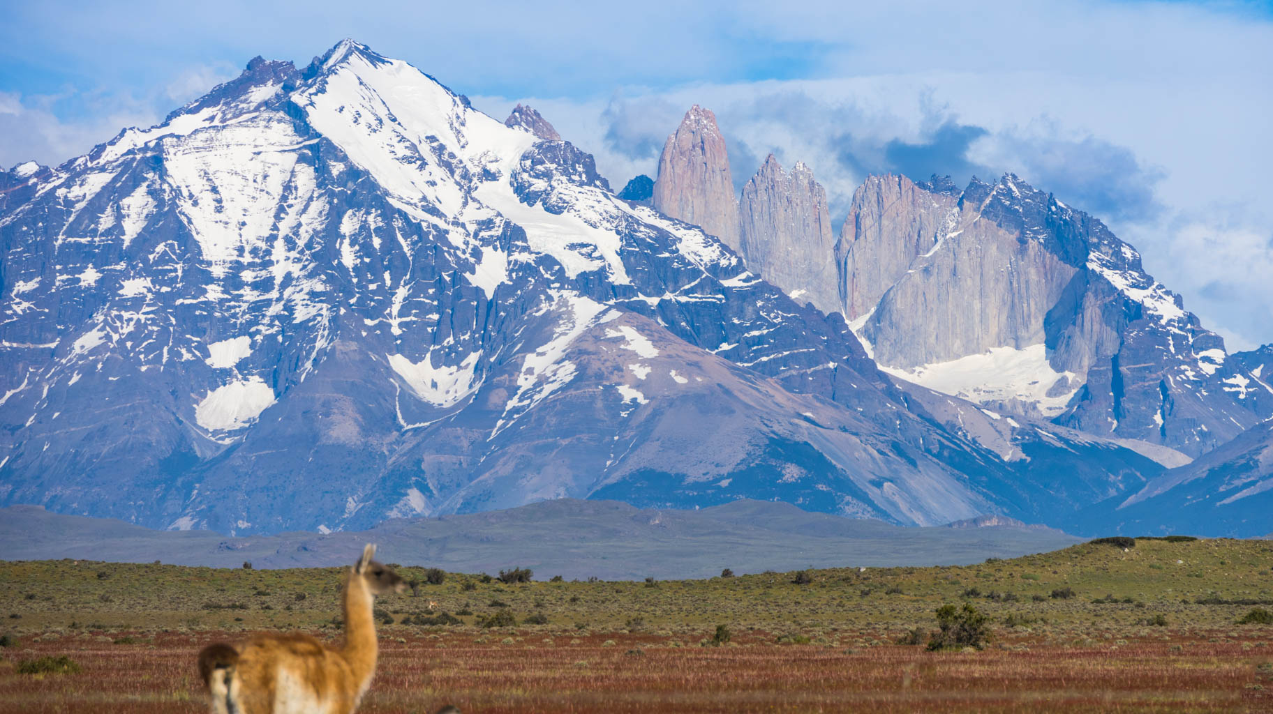
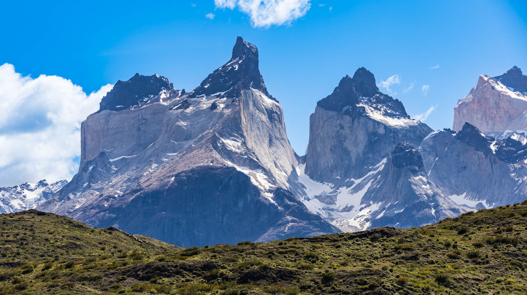
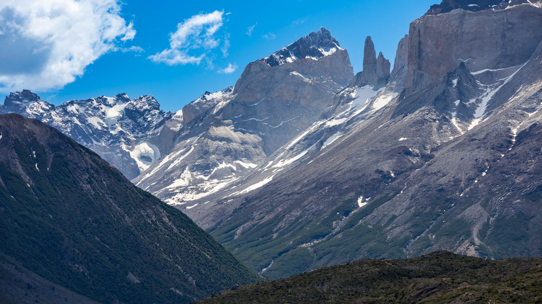
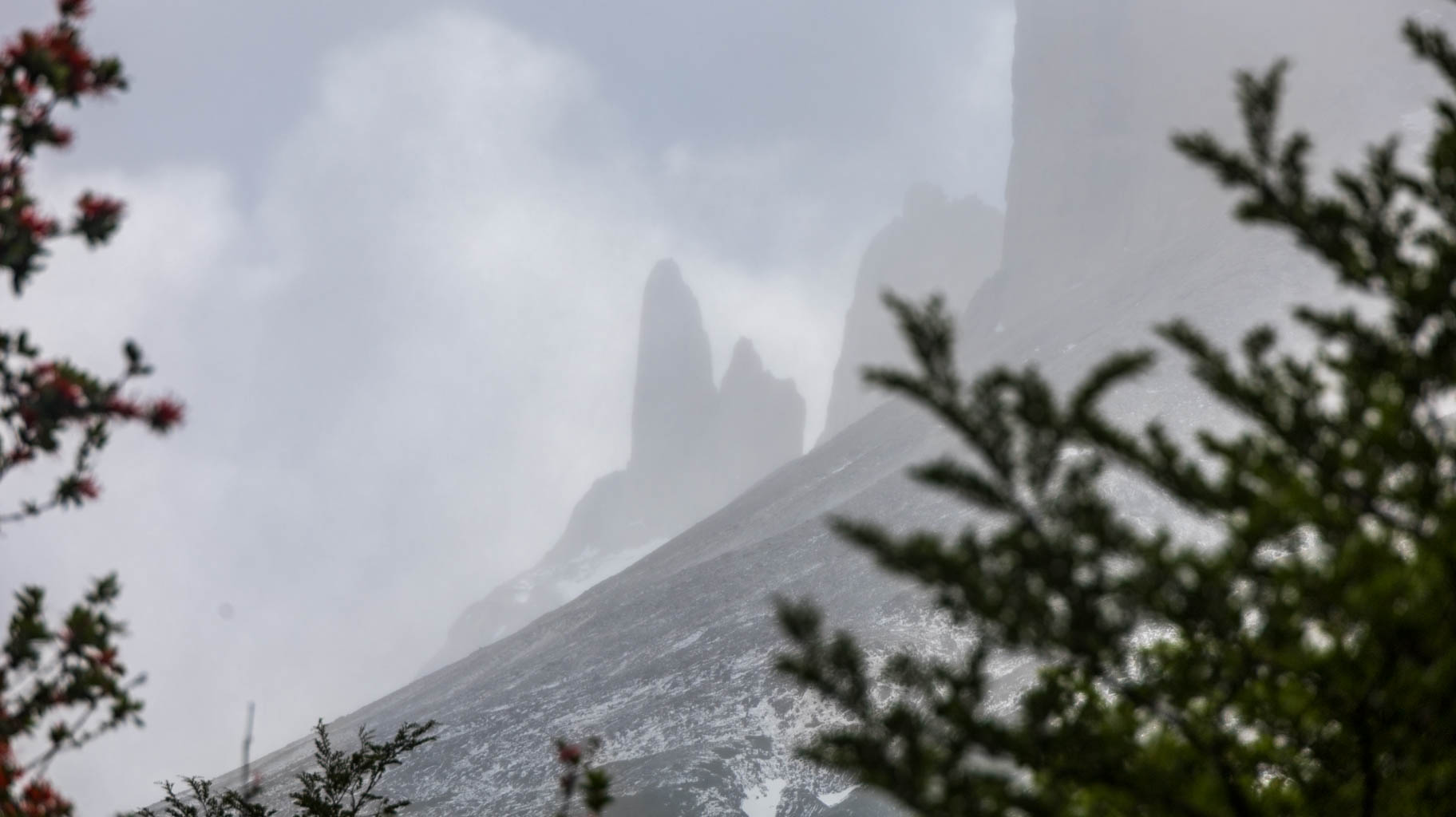
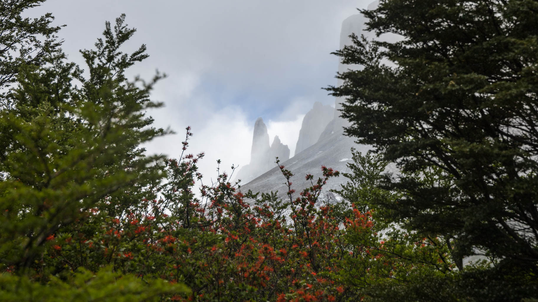
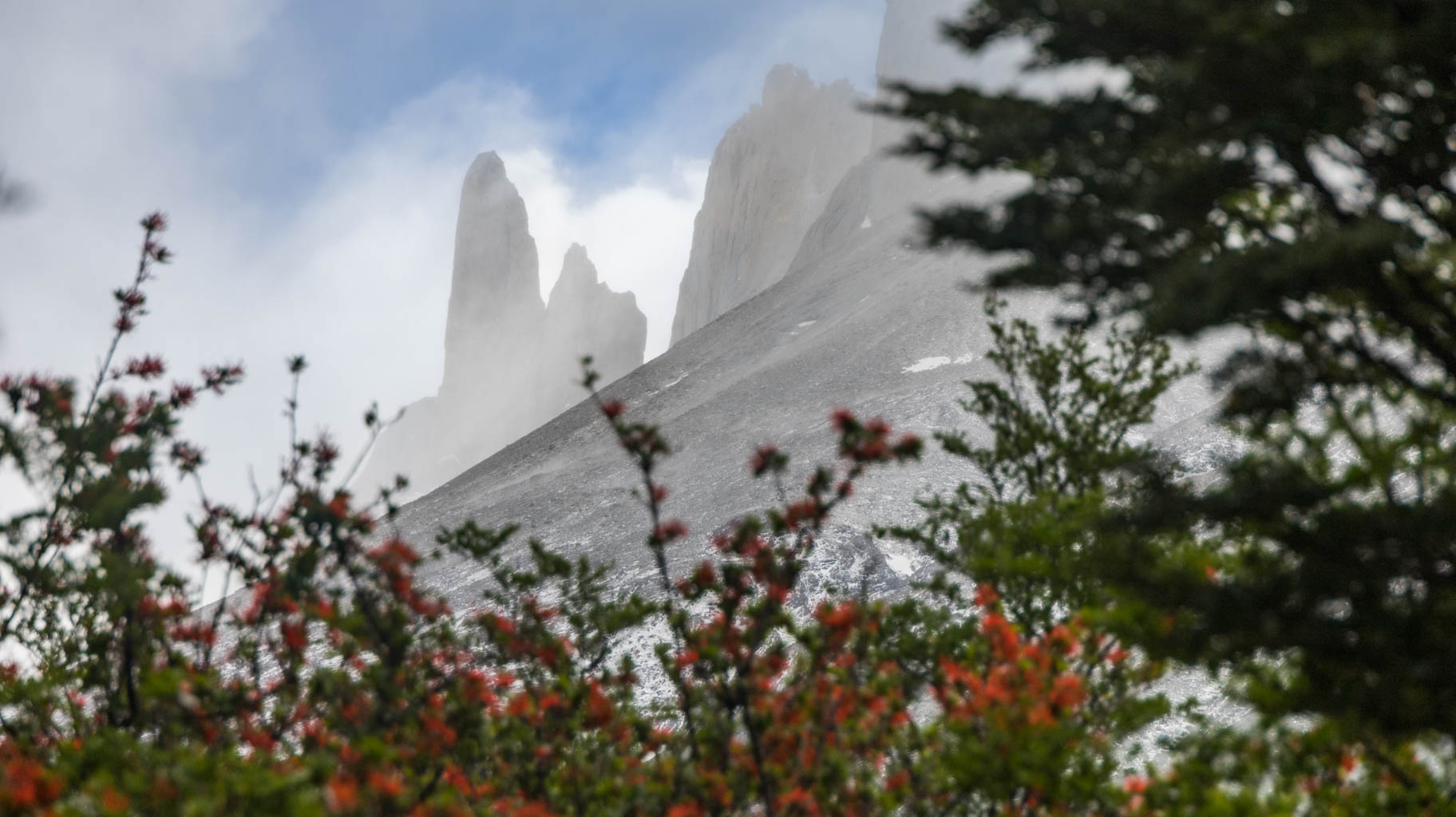
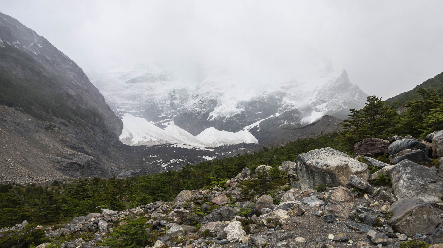
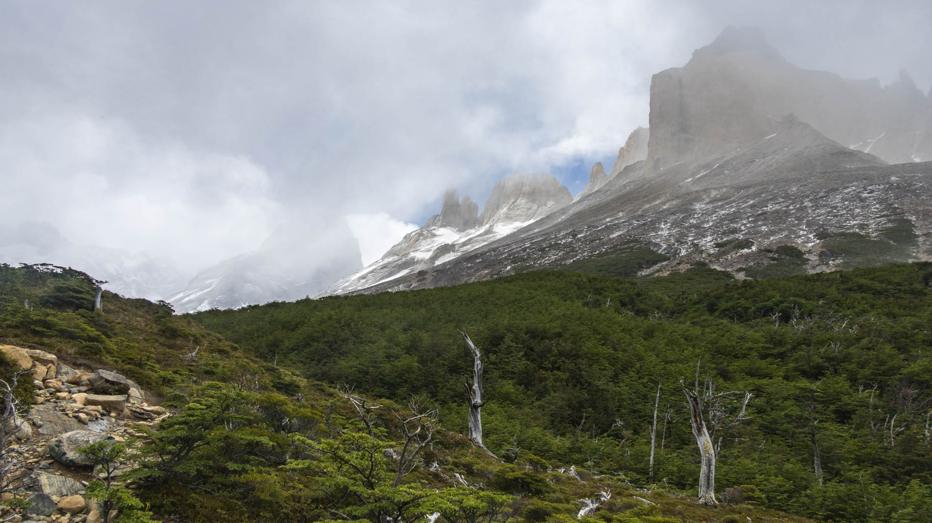
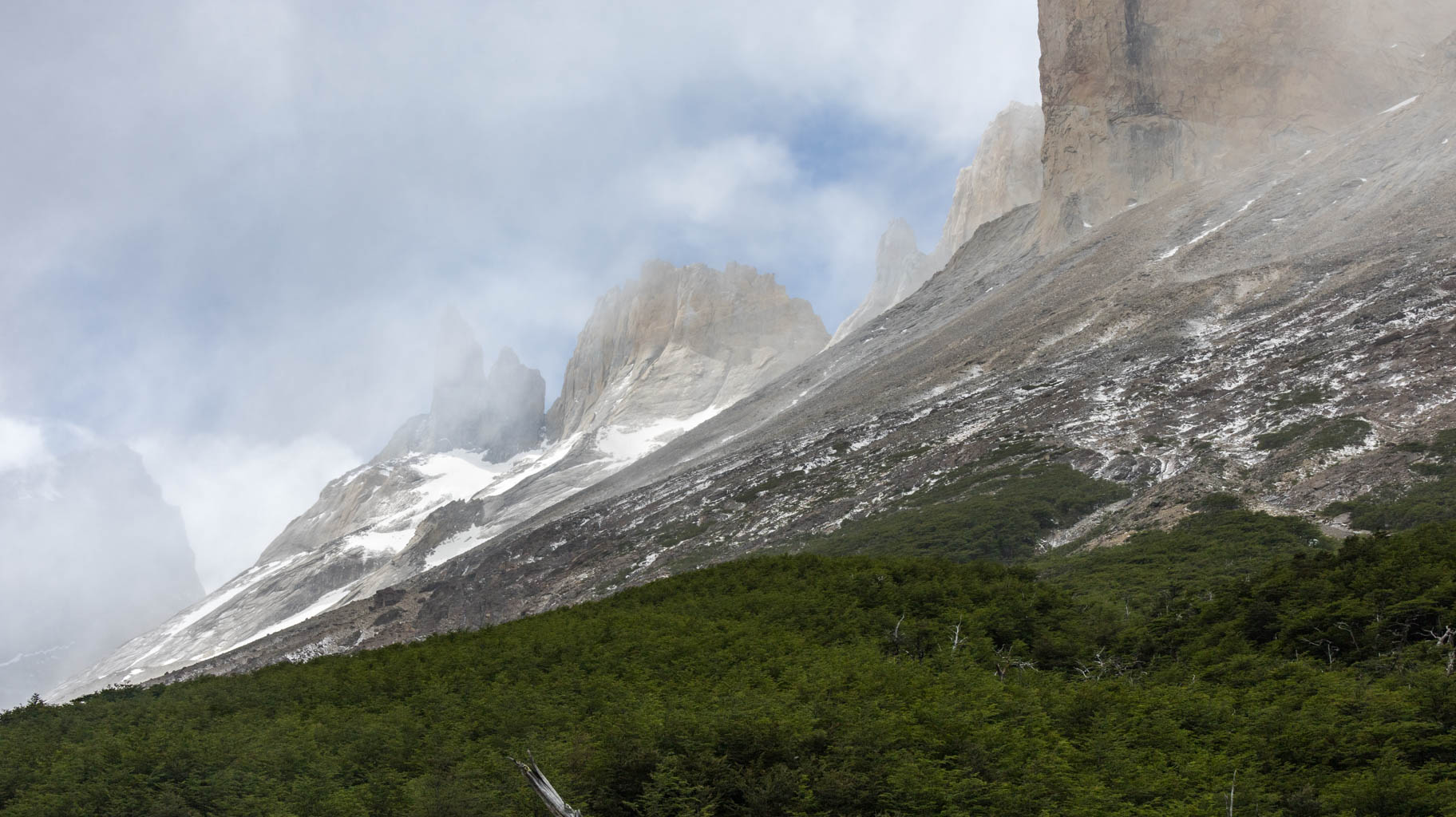
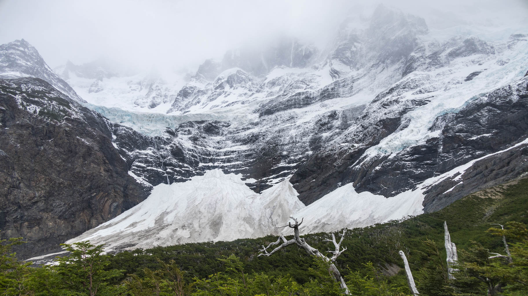
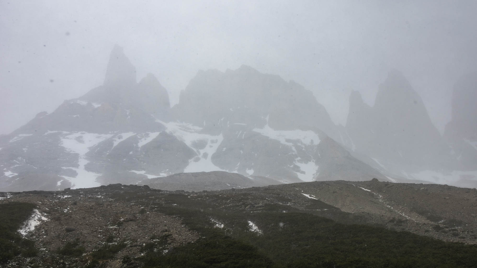
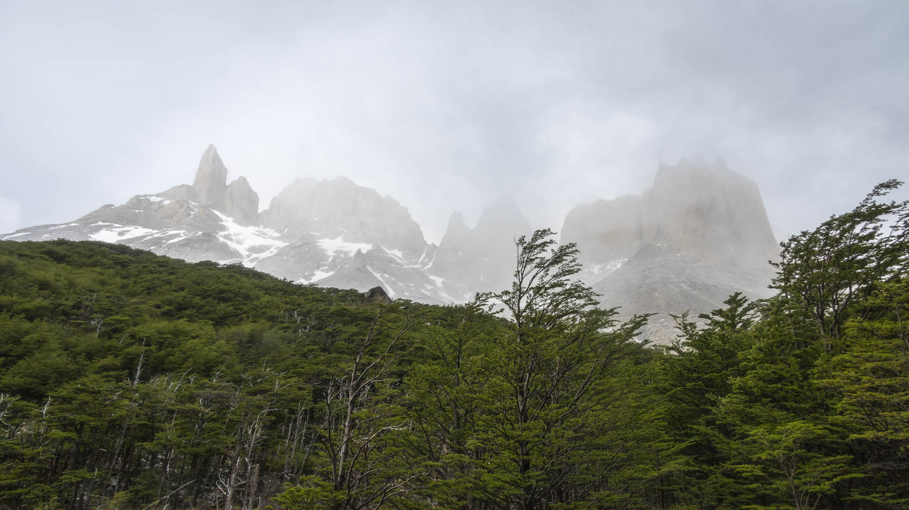
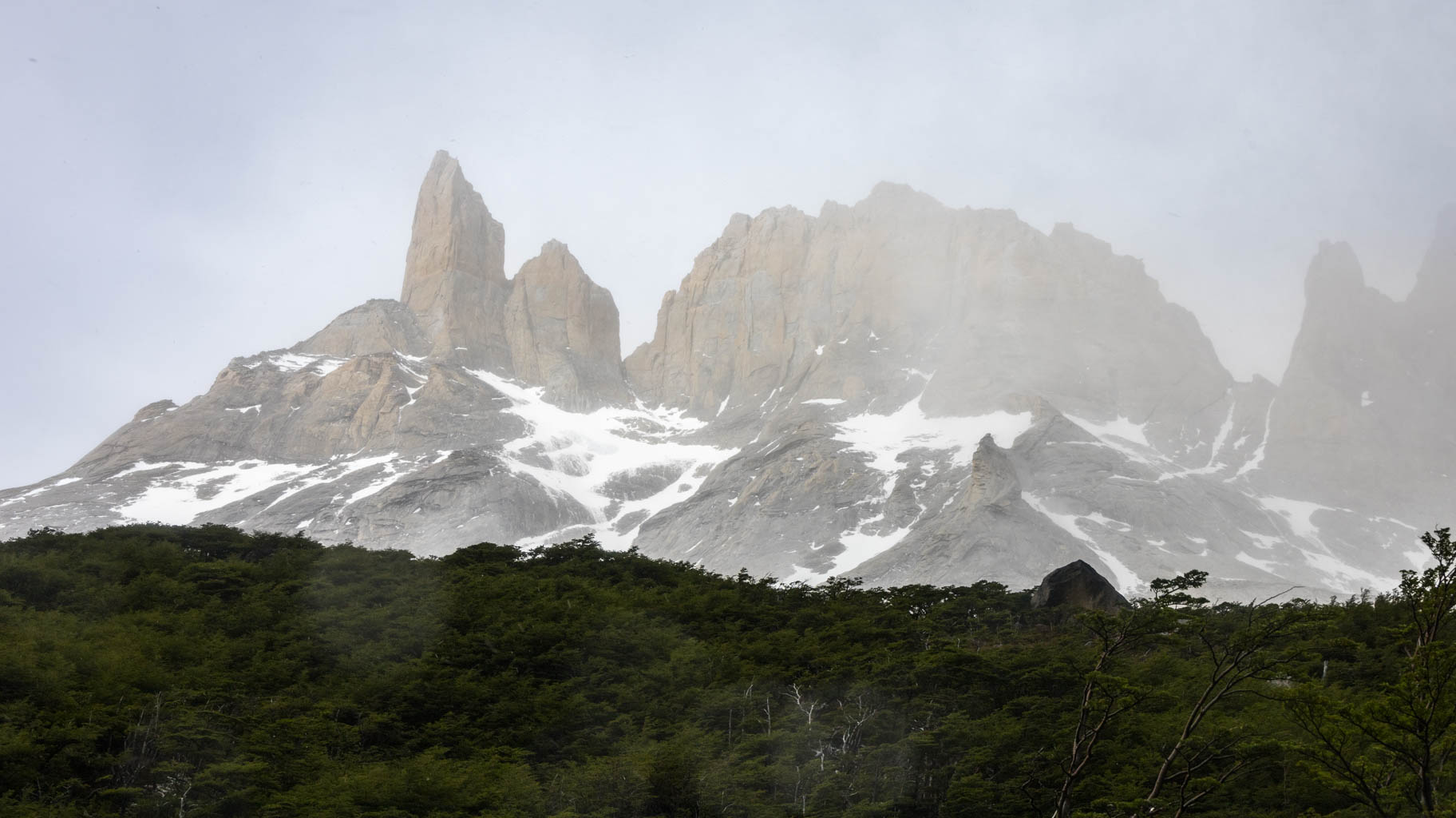
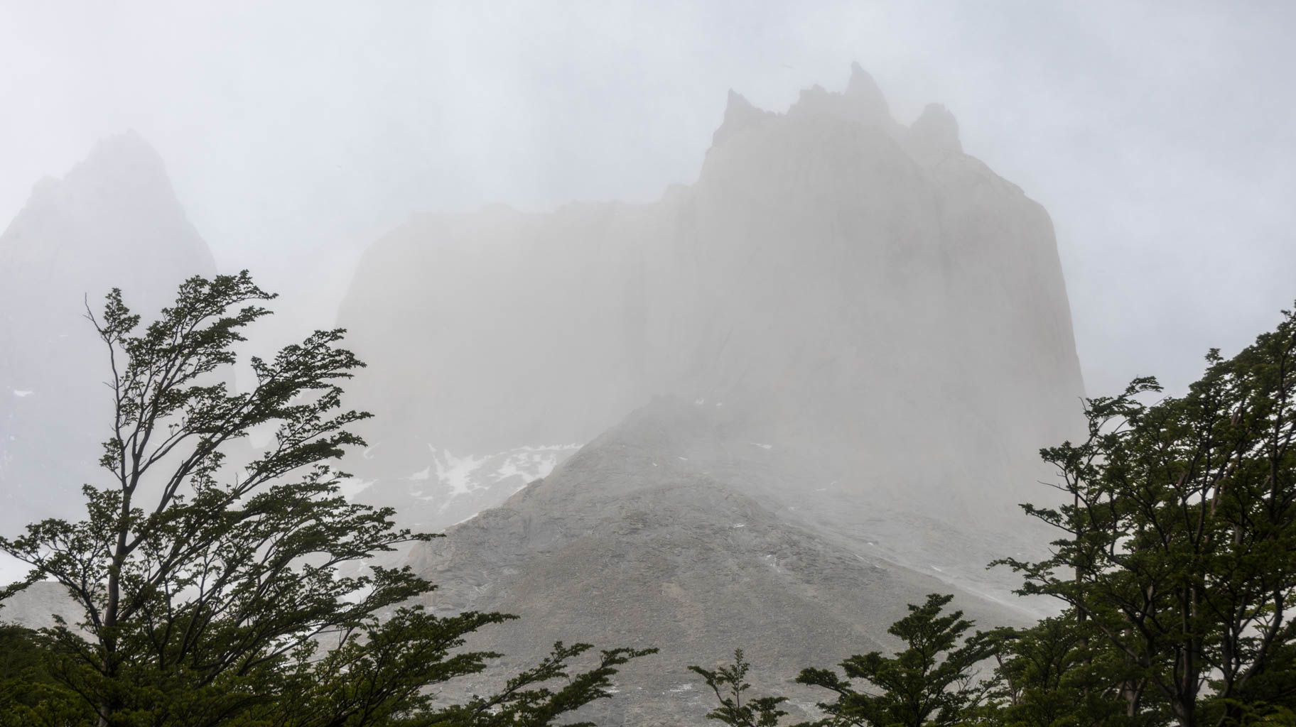
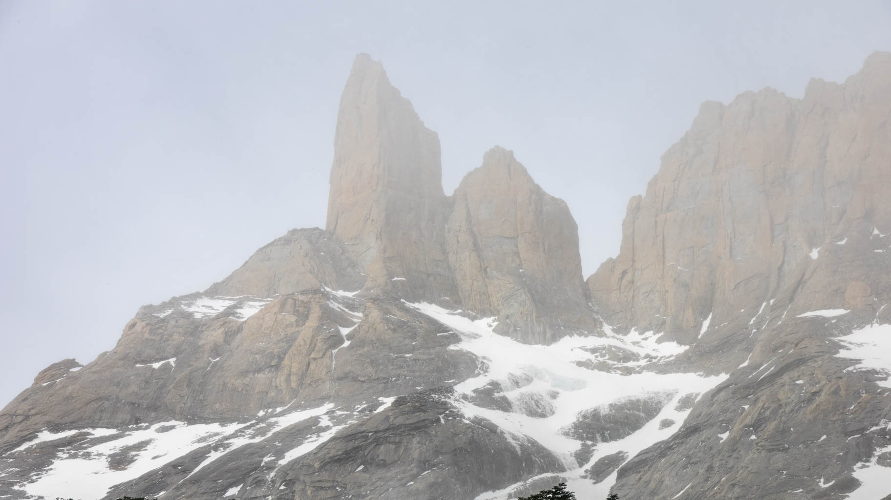
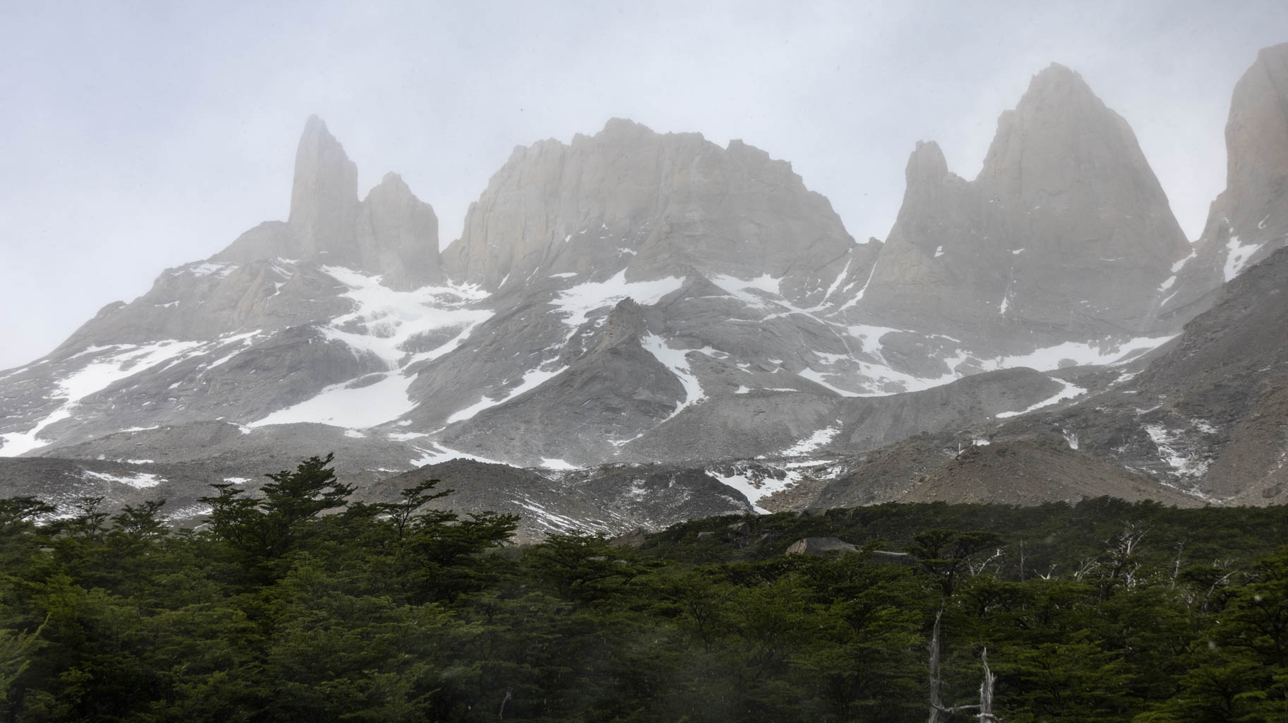
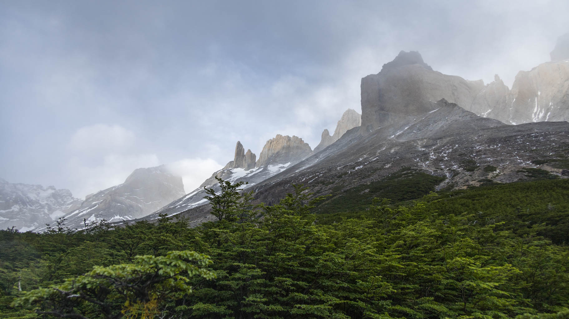
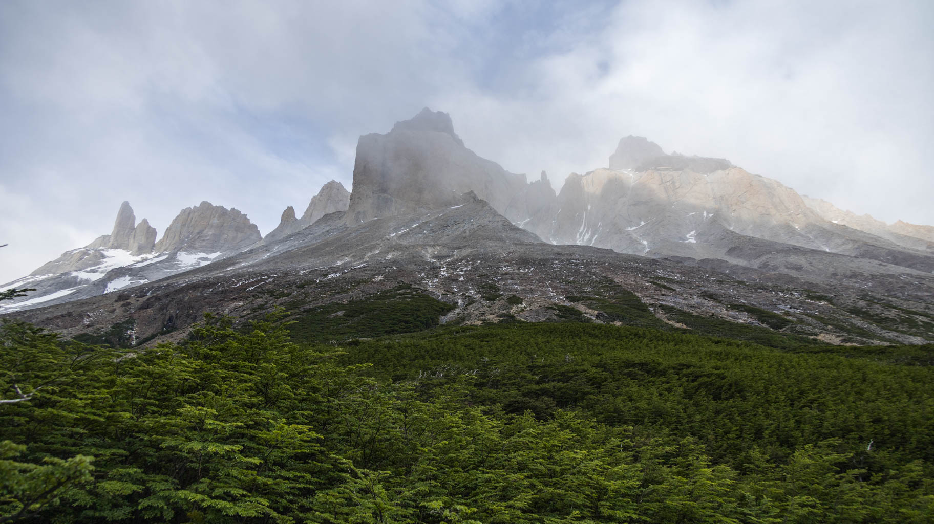
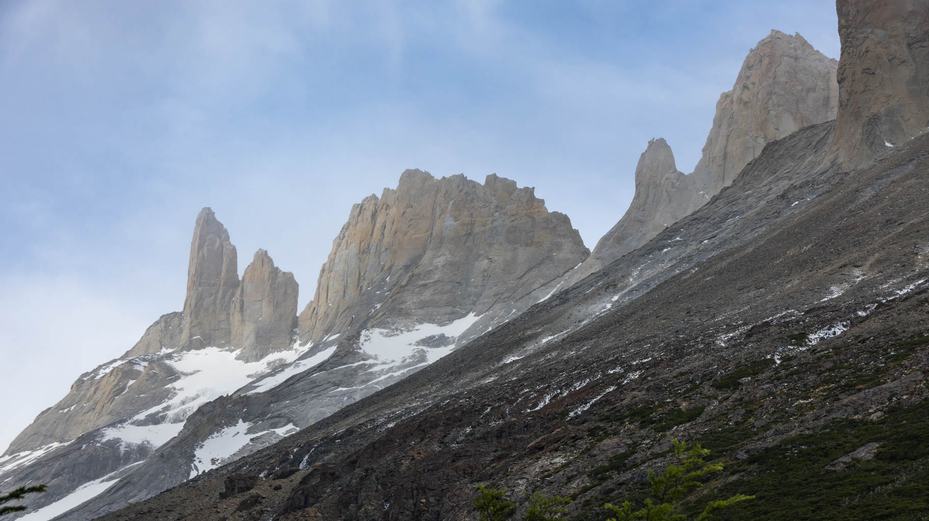
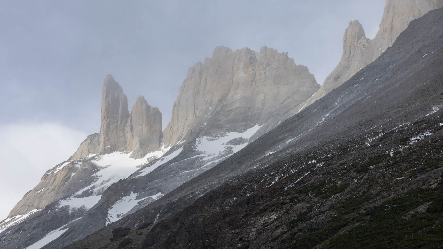
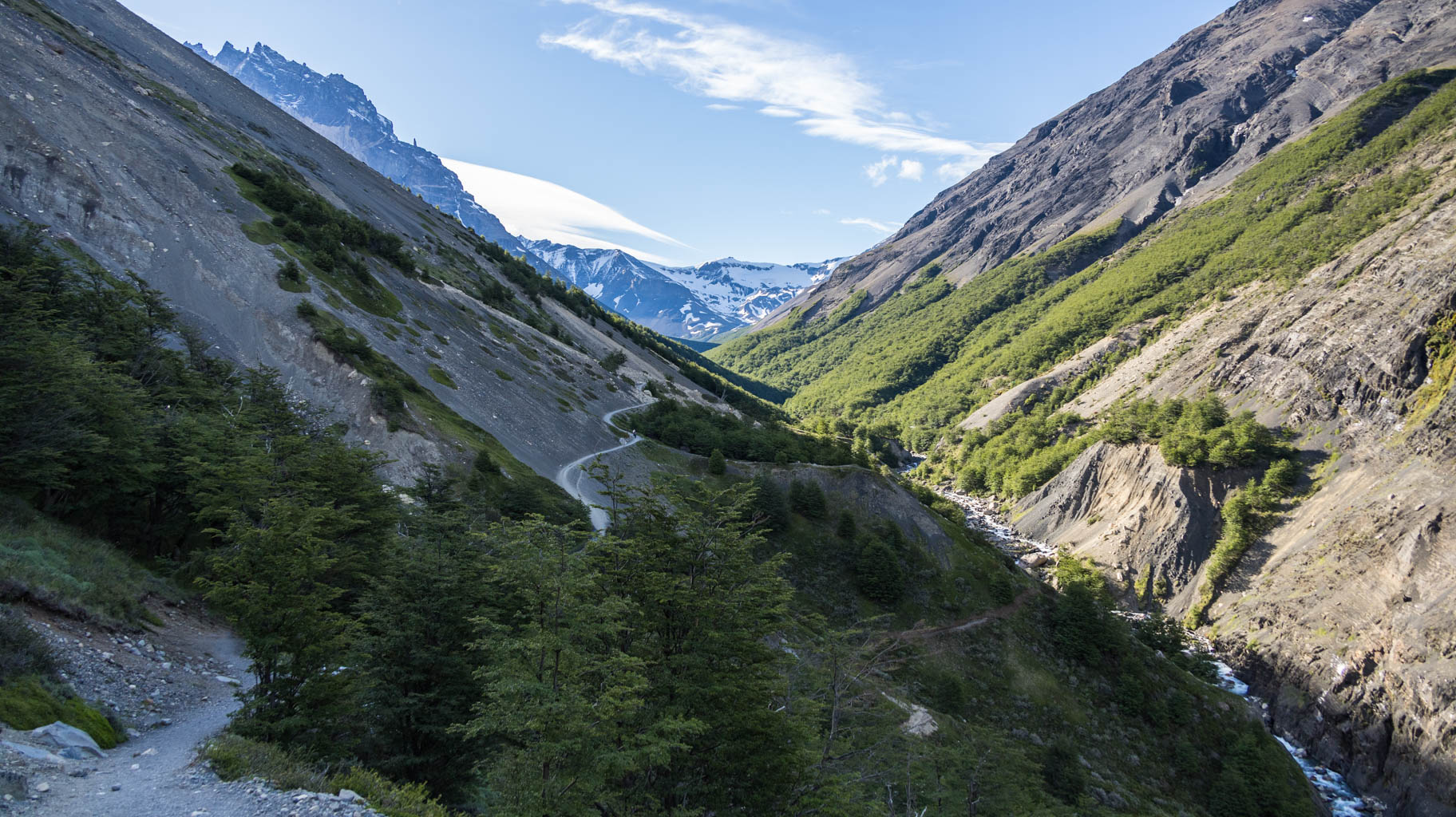
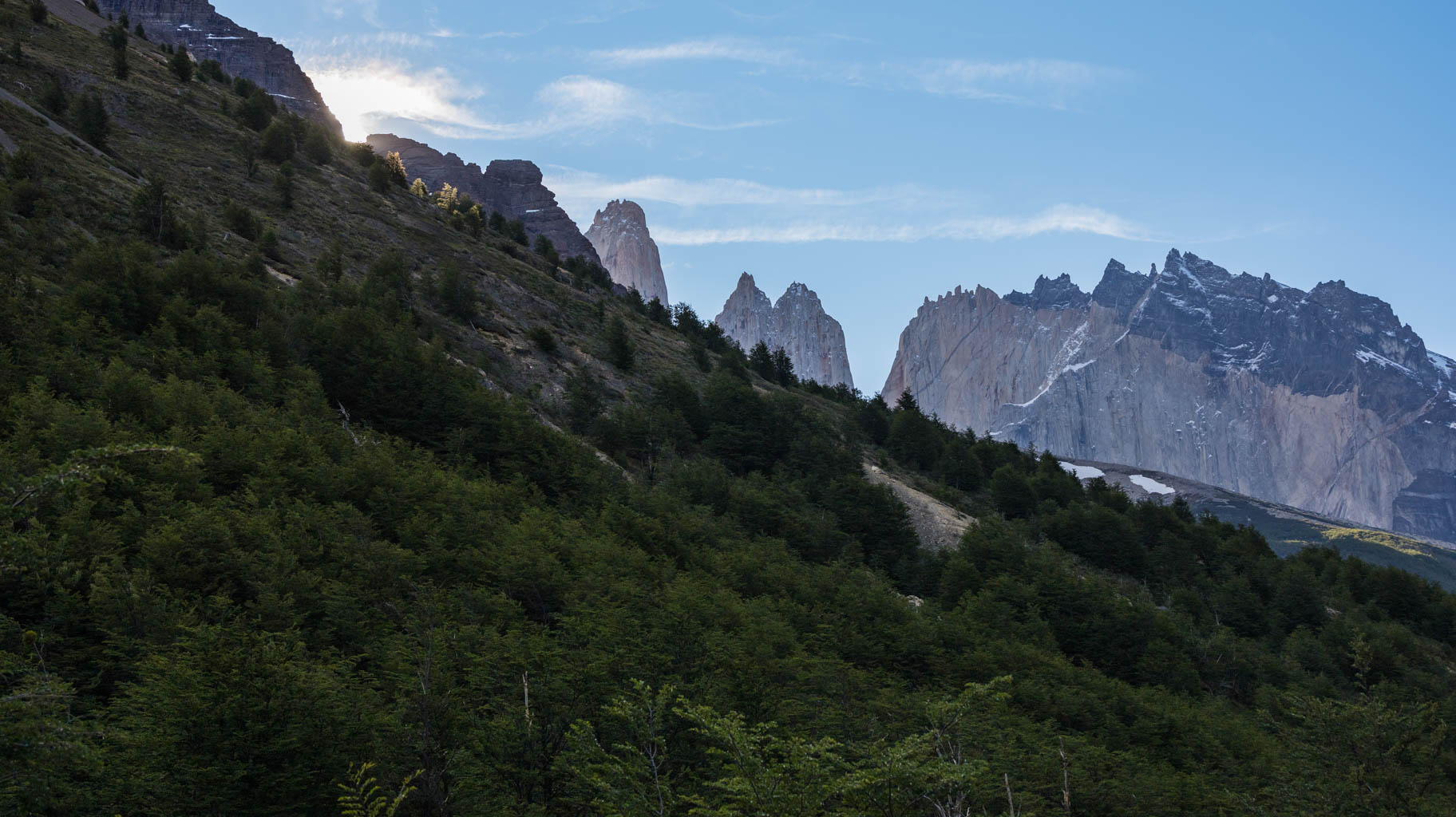
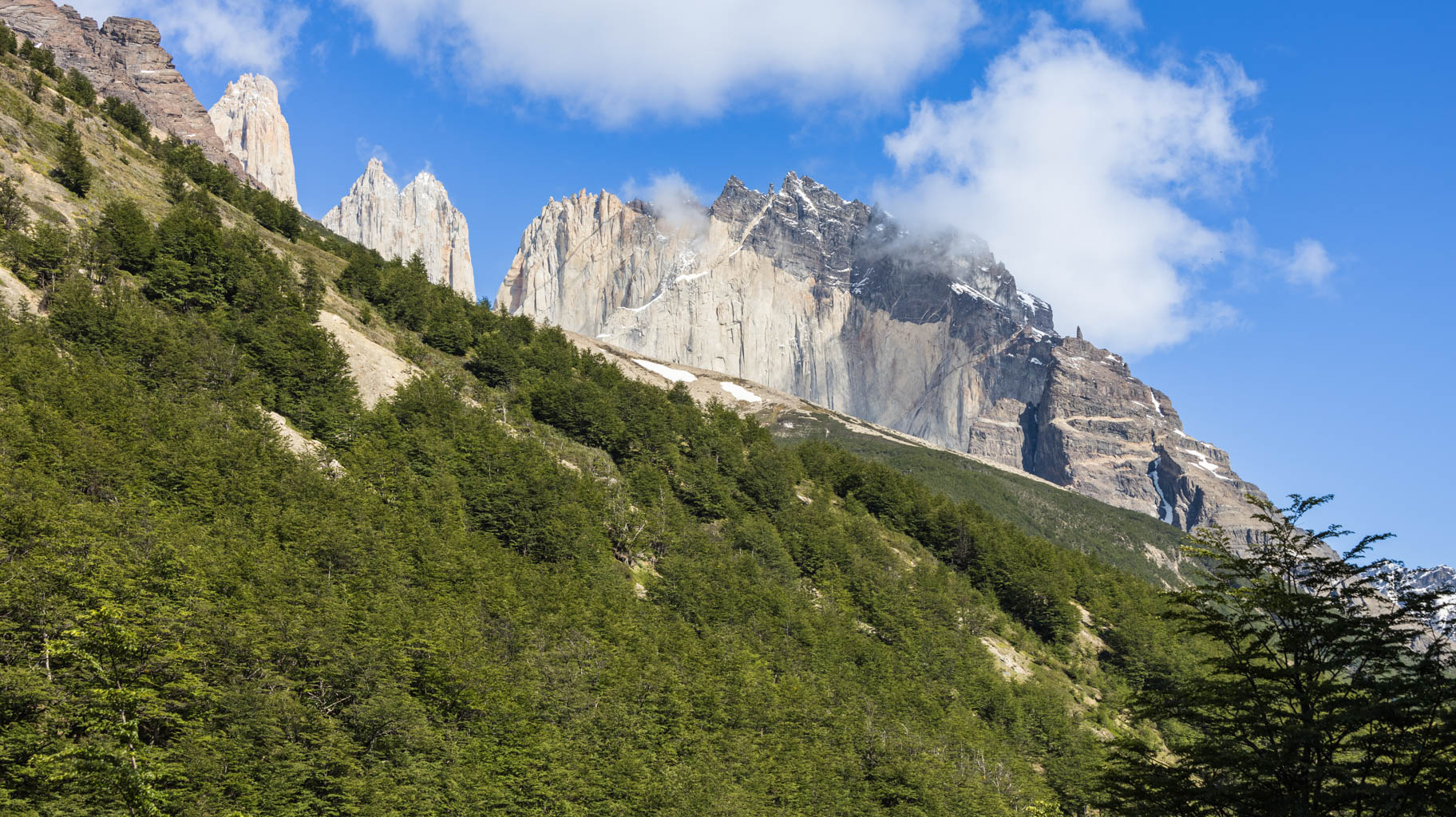
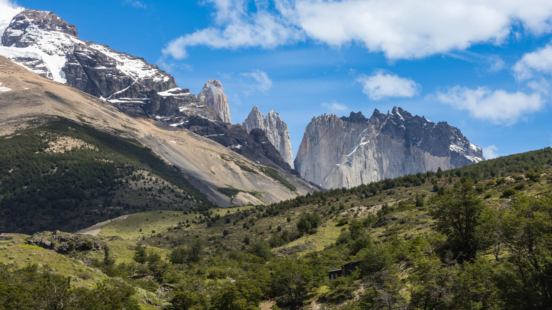
From there, we head north to Mirador Frances, the viewpoint overlooking the Frances Glacier, and then to Mirador Britanico, the viewpoint overlooking the famous towers, which Patagonia is most known for.
The trail is marked as 5.5 km each way, but in reality, it’s 6.5 km. Moreover, we walk on rocks and even boulders, crossing rivers and climbing over 650 meters in elevation, so the trail is far from easy. We have to pay close attention to the trail markers, as we almost got lost a few times—especially near Britanico and on the way back, where we had to descend from the boulders, and the trail markers aren’t very clear.
It’s worth having an offline map app. We use Mapy.cz and have downloaded the maps for this region, which helps us quickly find the correct route.
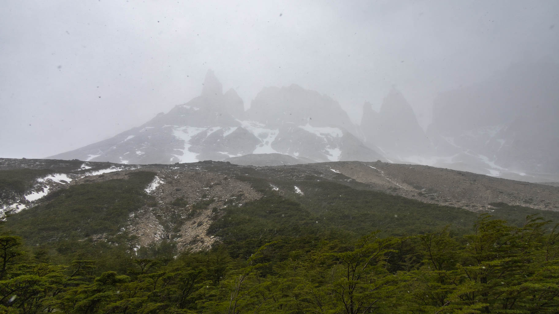
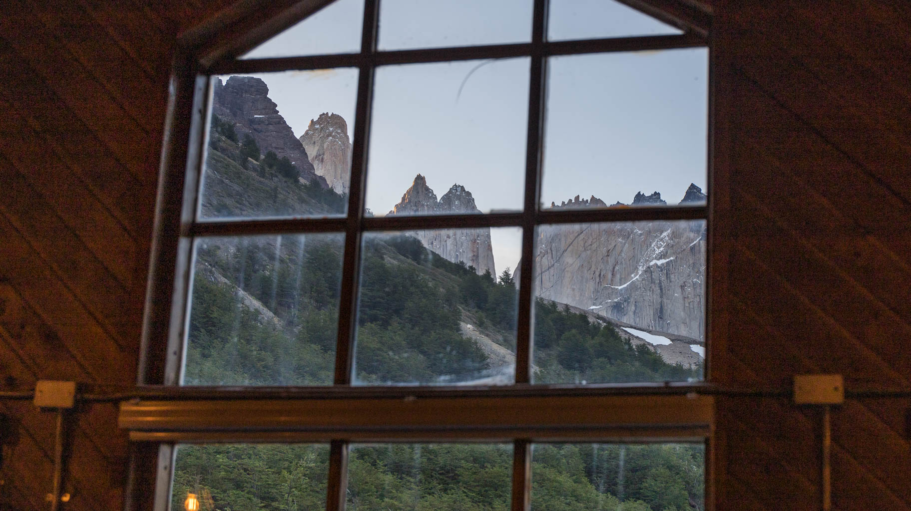
At Britanico, the view is not ideal, but we manage to snap a few photos of the peaks hidden in the clouds with some small breaks in the cloud cover.
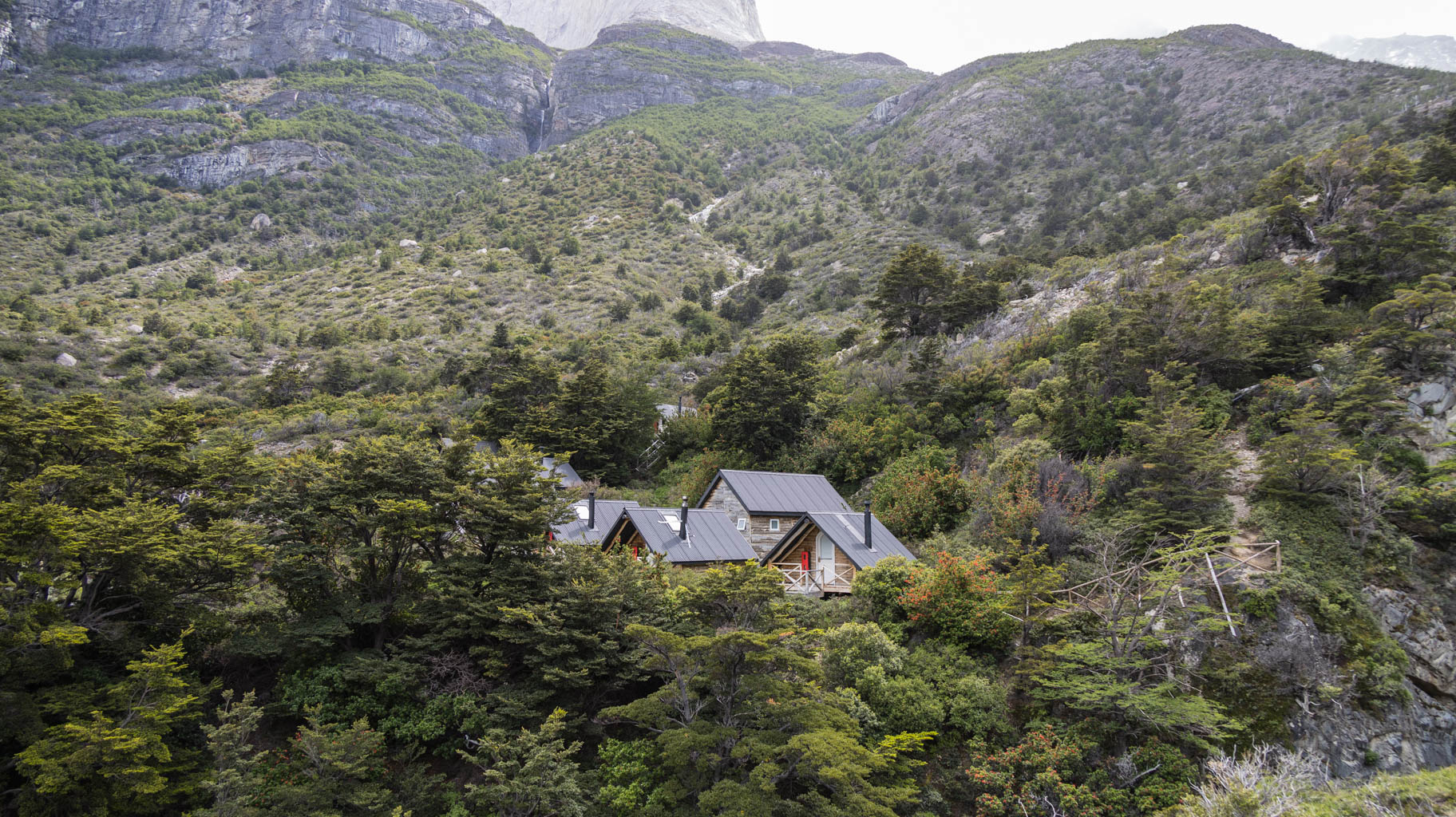
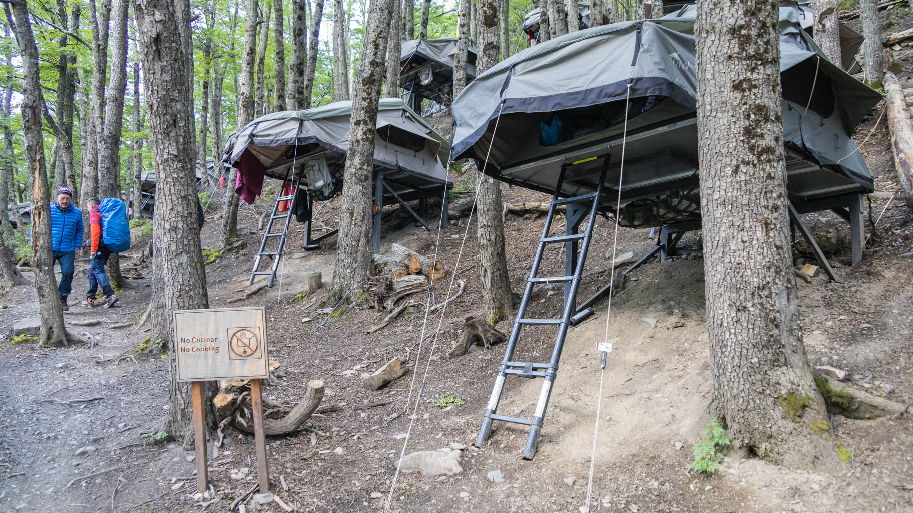
After descending to the bottom, we pick up our backpacks and head to our accommodation—Refugio Cuernos, which is another 4.5 km away.
The path is not difficult, but after so many kilometers on our feet and with heavy backpacks, we are exhausted by the time we finally arrive before 8:00 PM.
We have 12.6 km to cover with our backpacks, which means we need to budget about five hours of trekking.
Since heavy rain and wind are expected until noon, we decide to wait it out with a beer at the shelter.
When the weather begins to clear up around 12:30, we set off on our way.
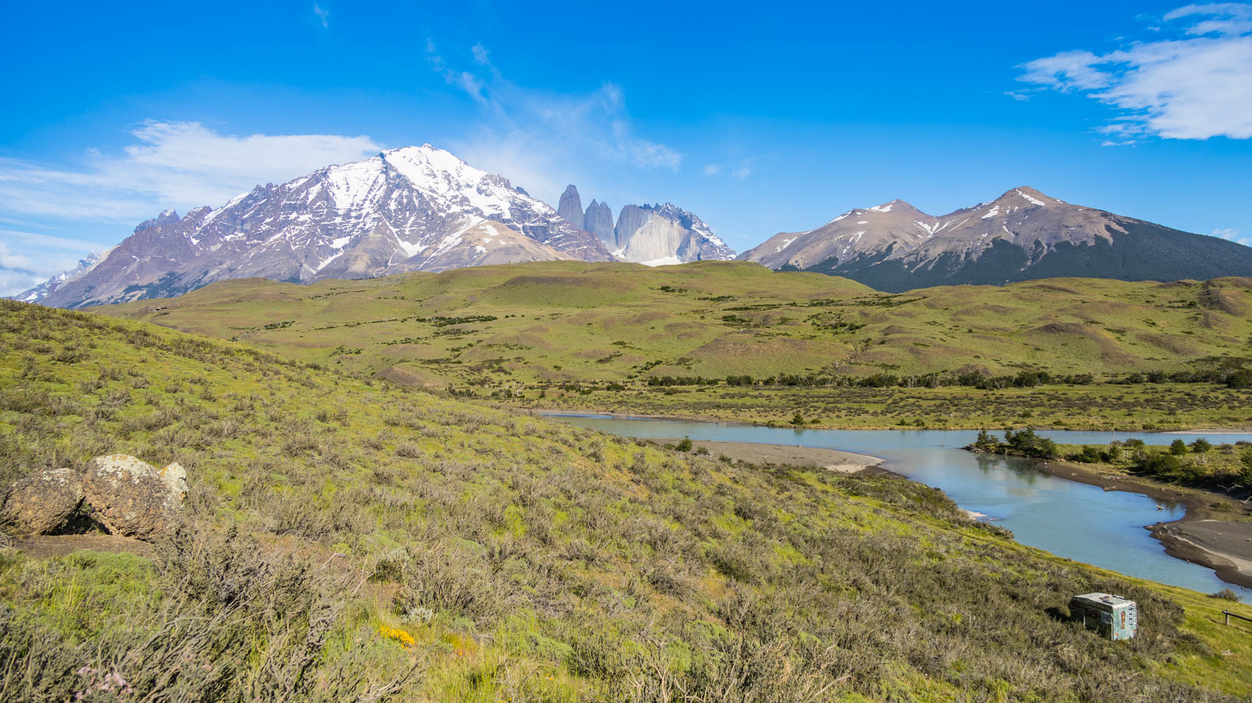
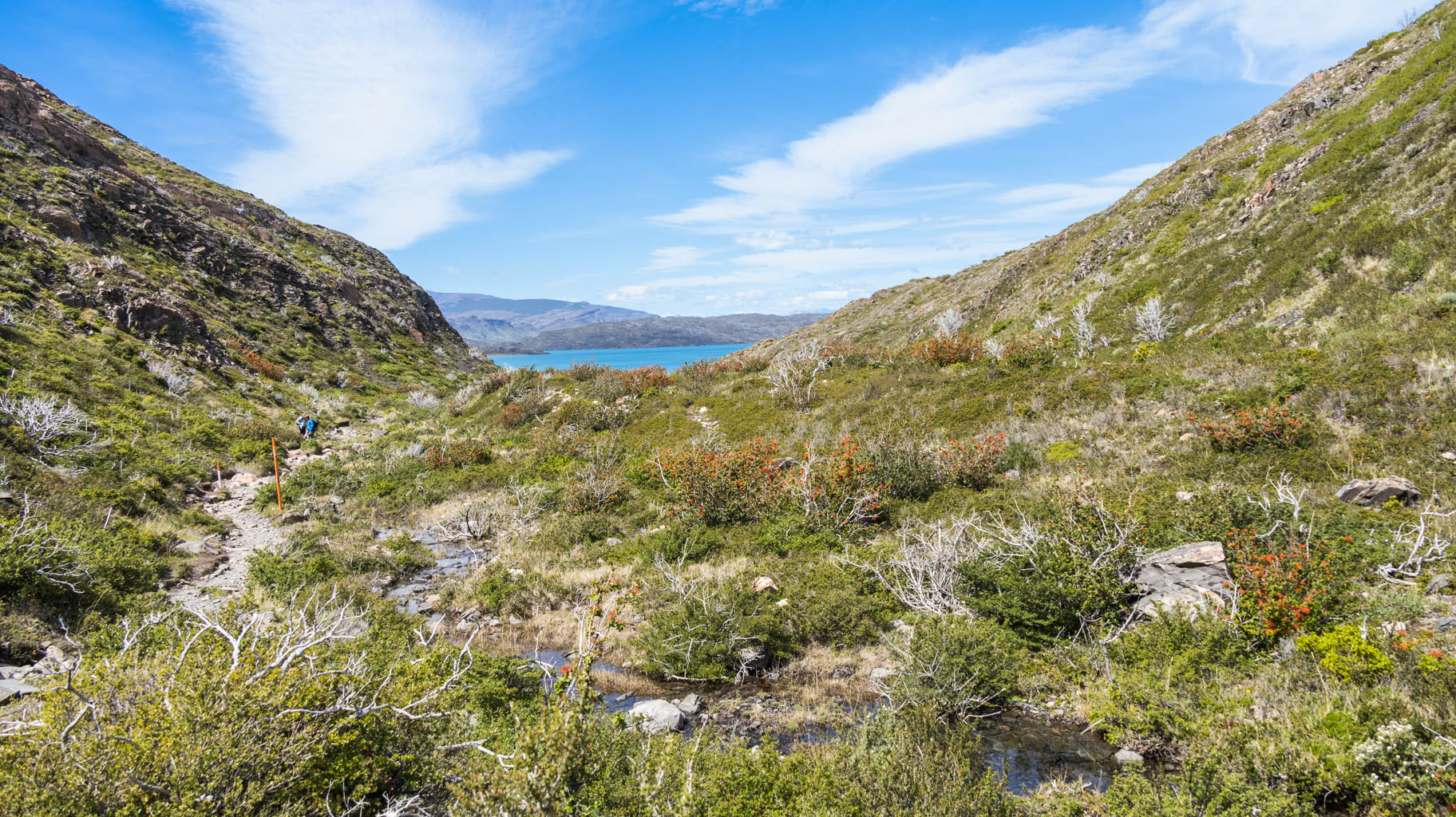
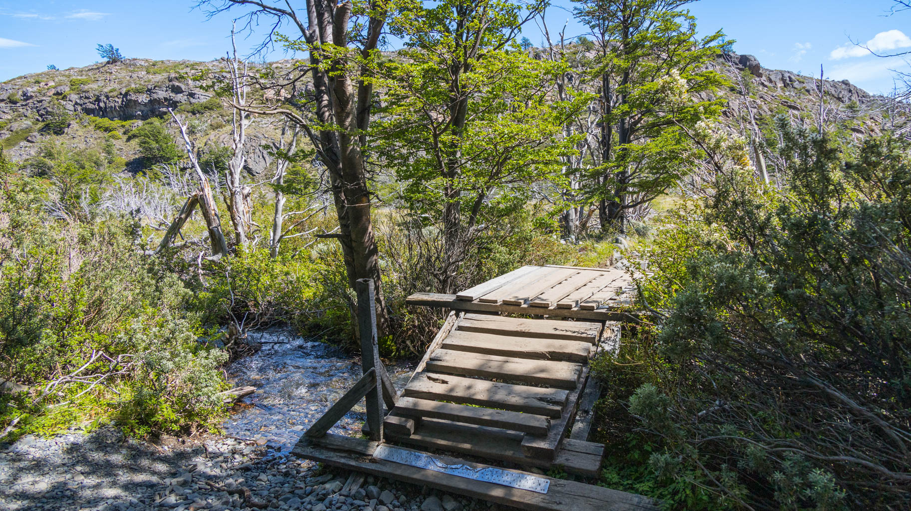
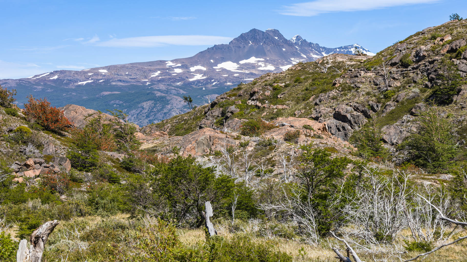
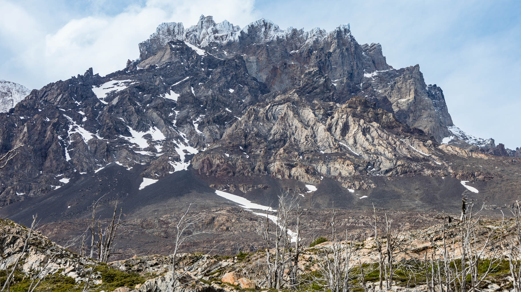
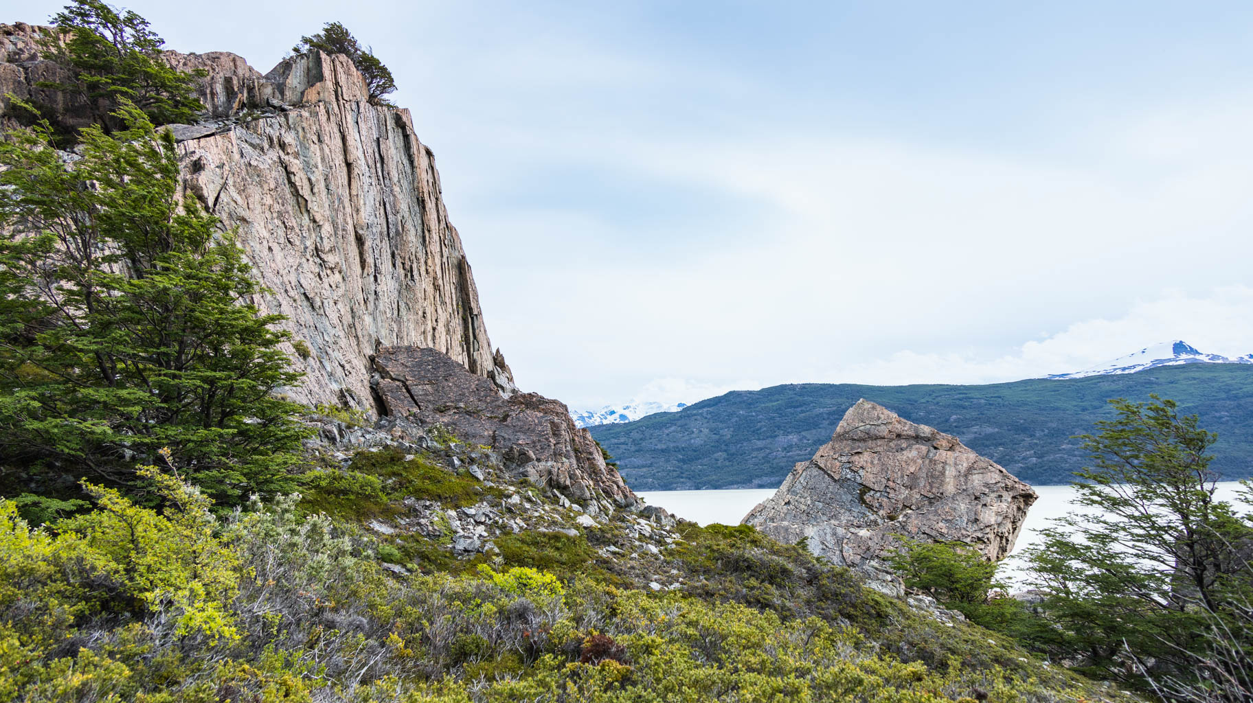
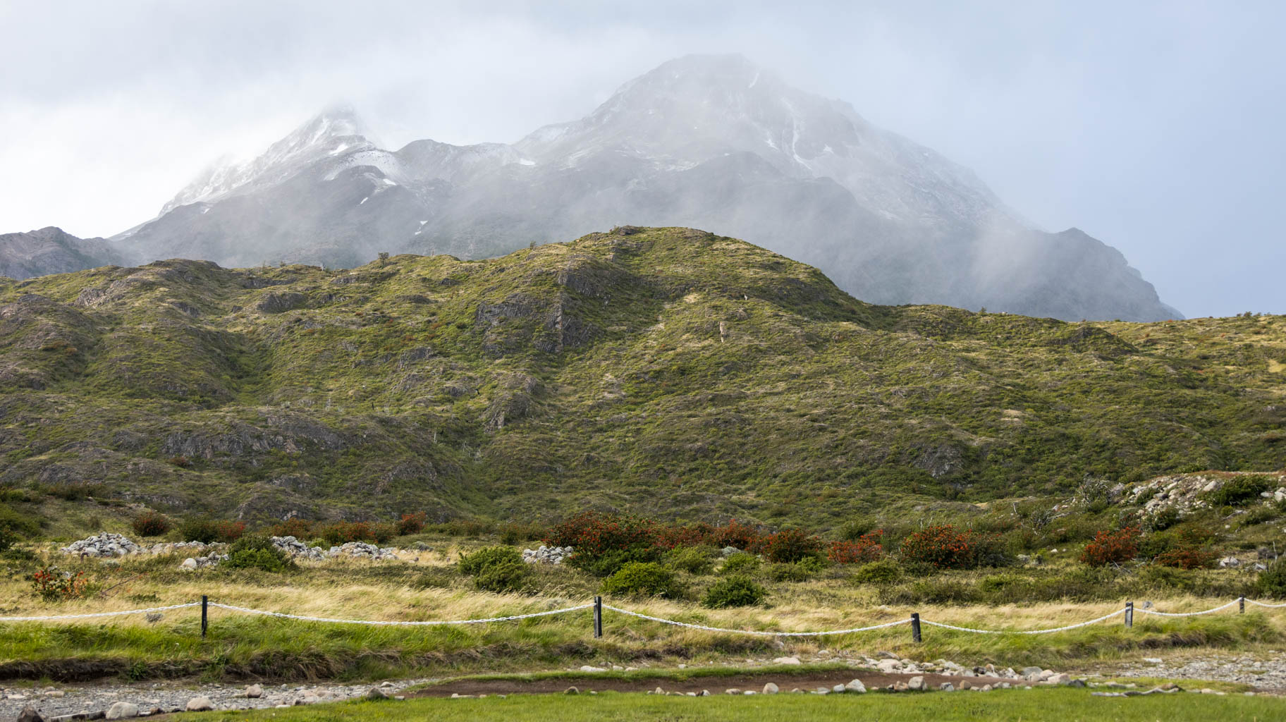
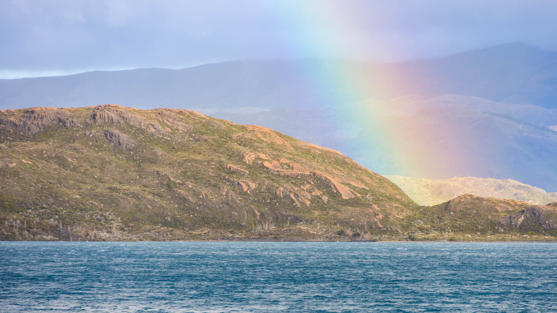
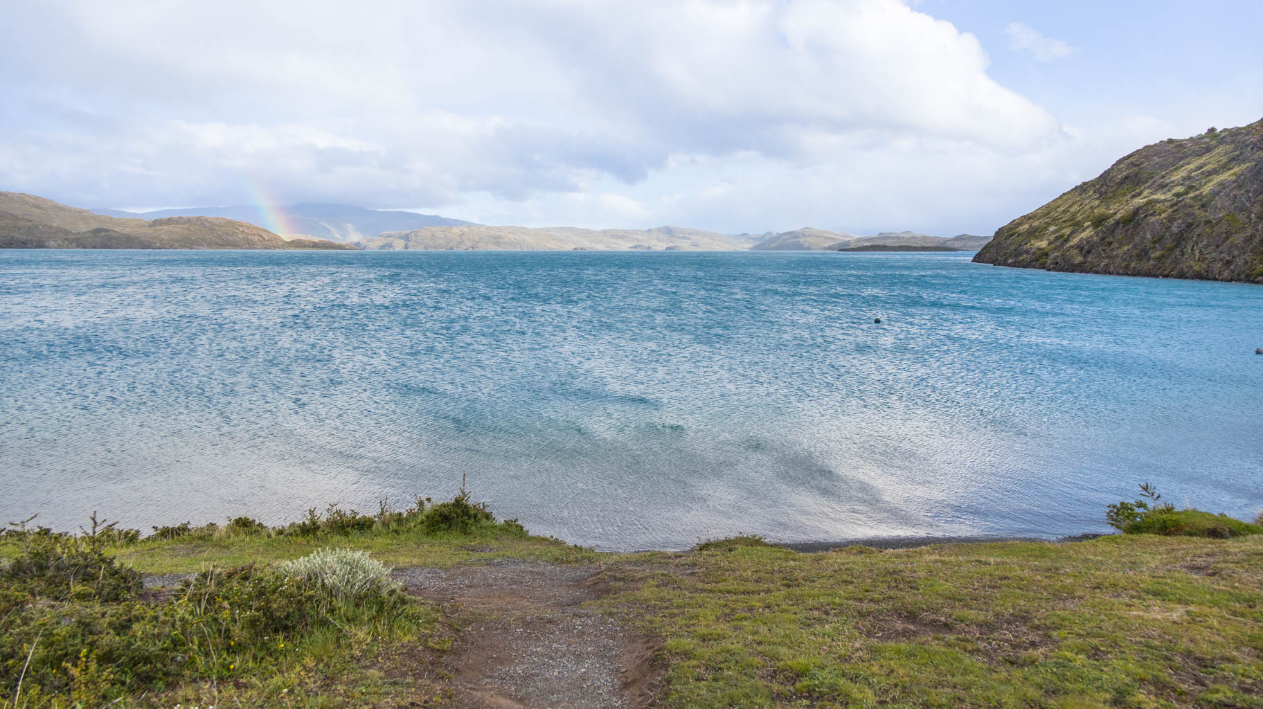
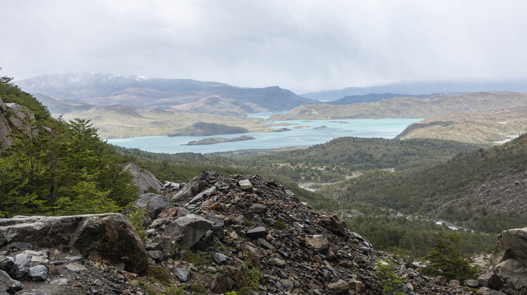
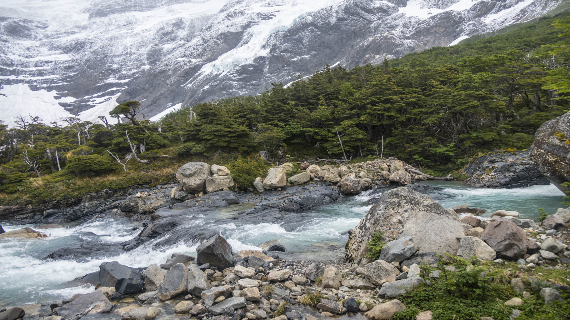
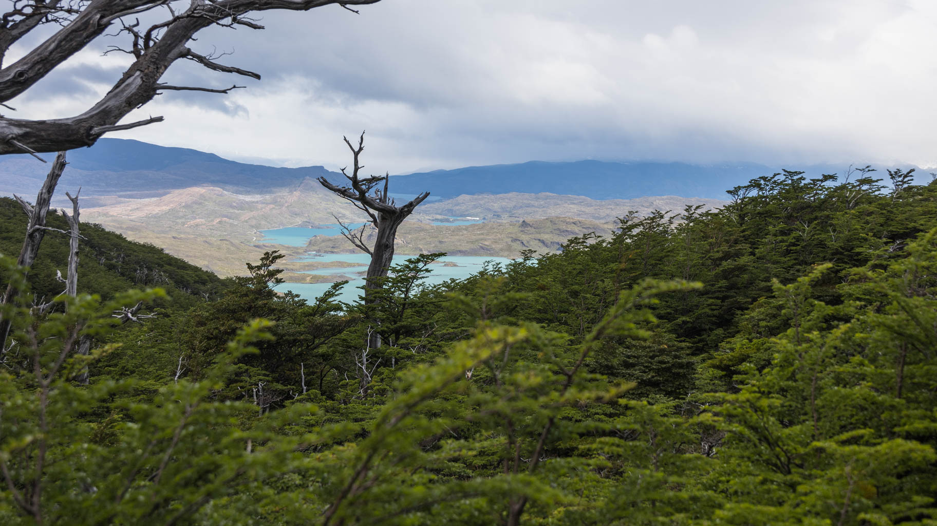
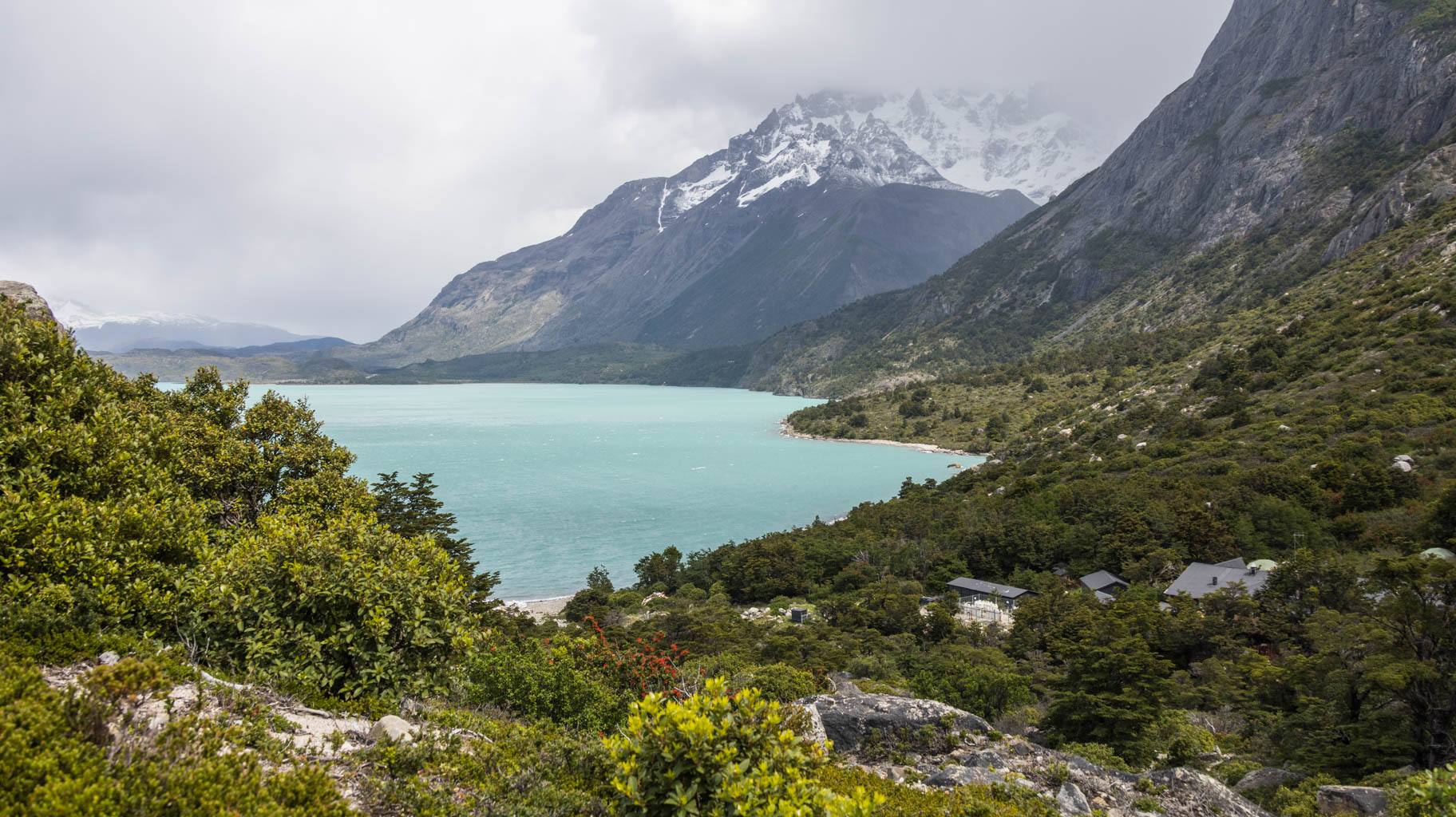
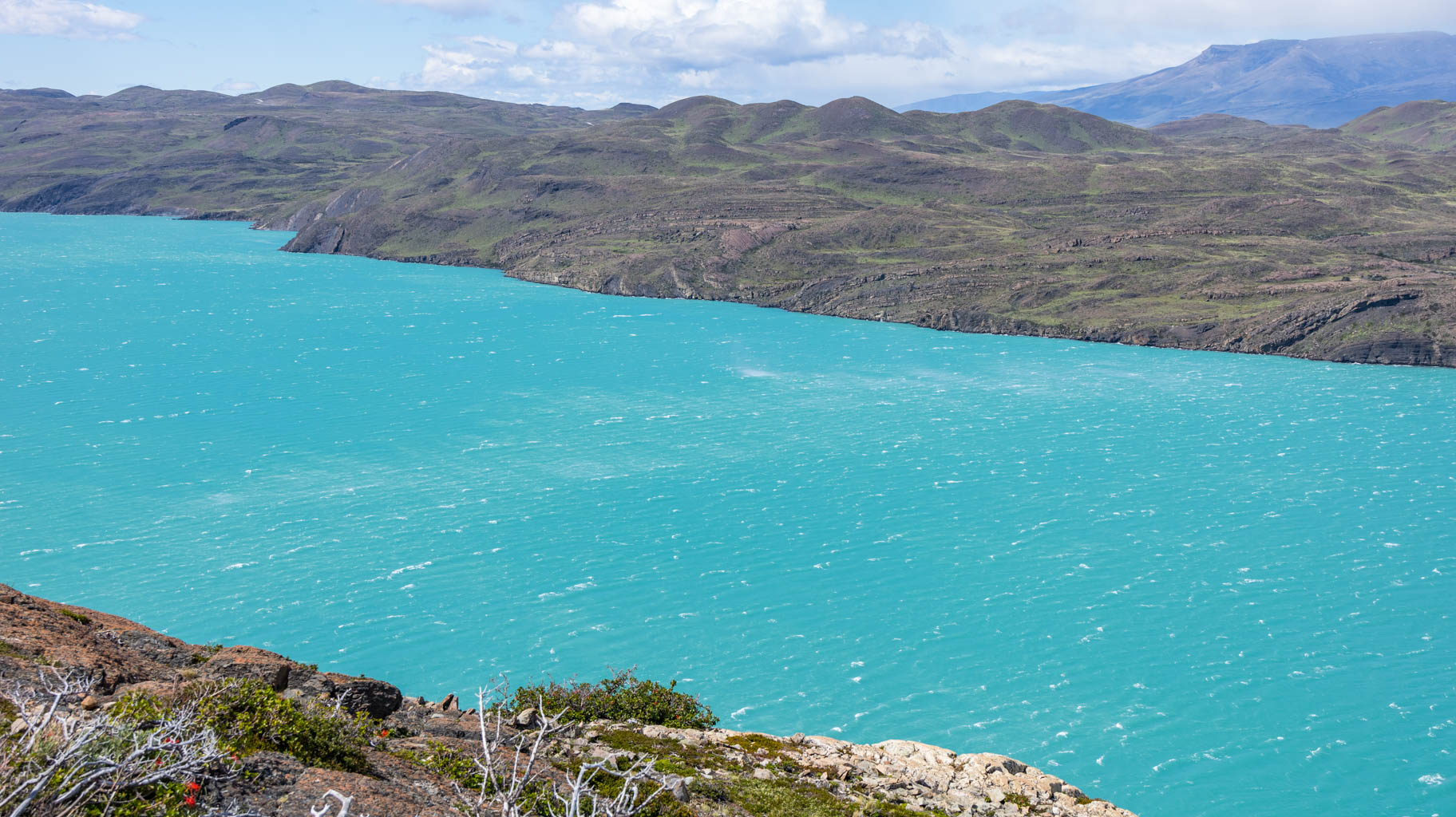
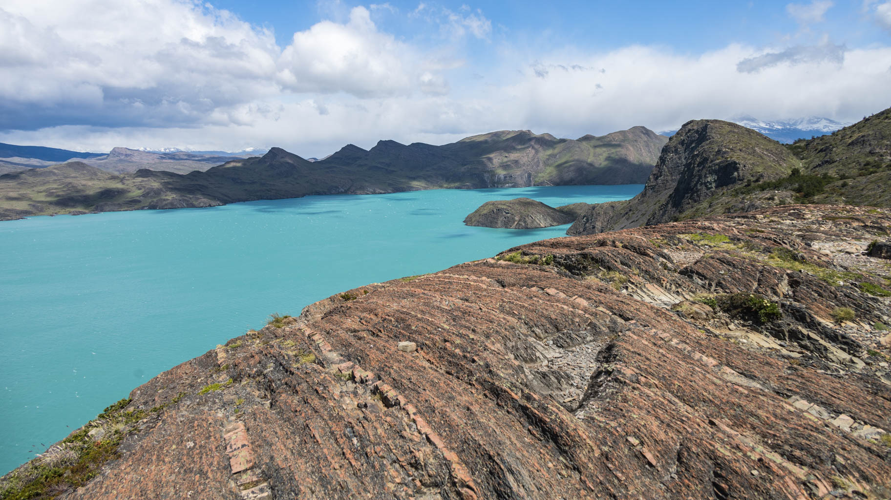
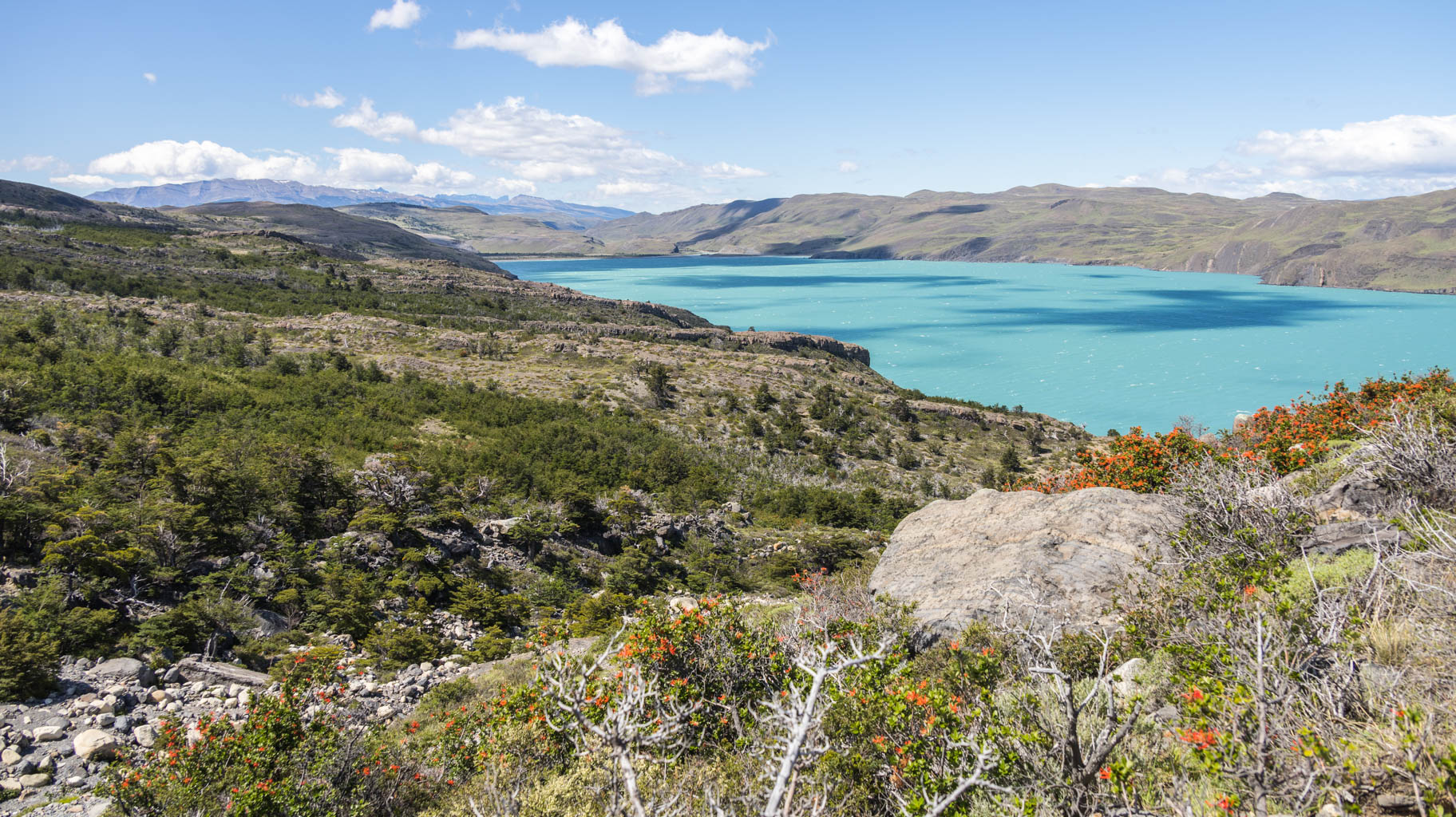
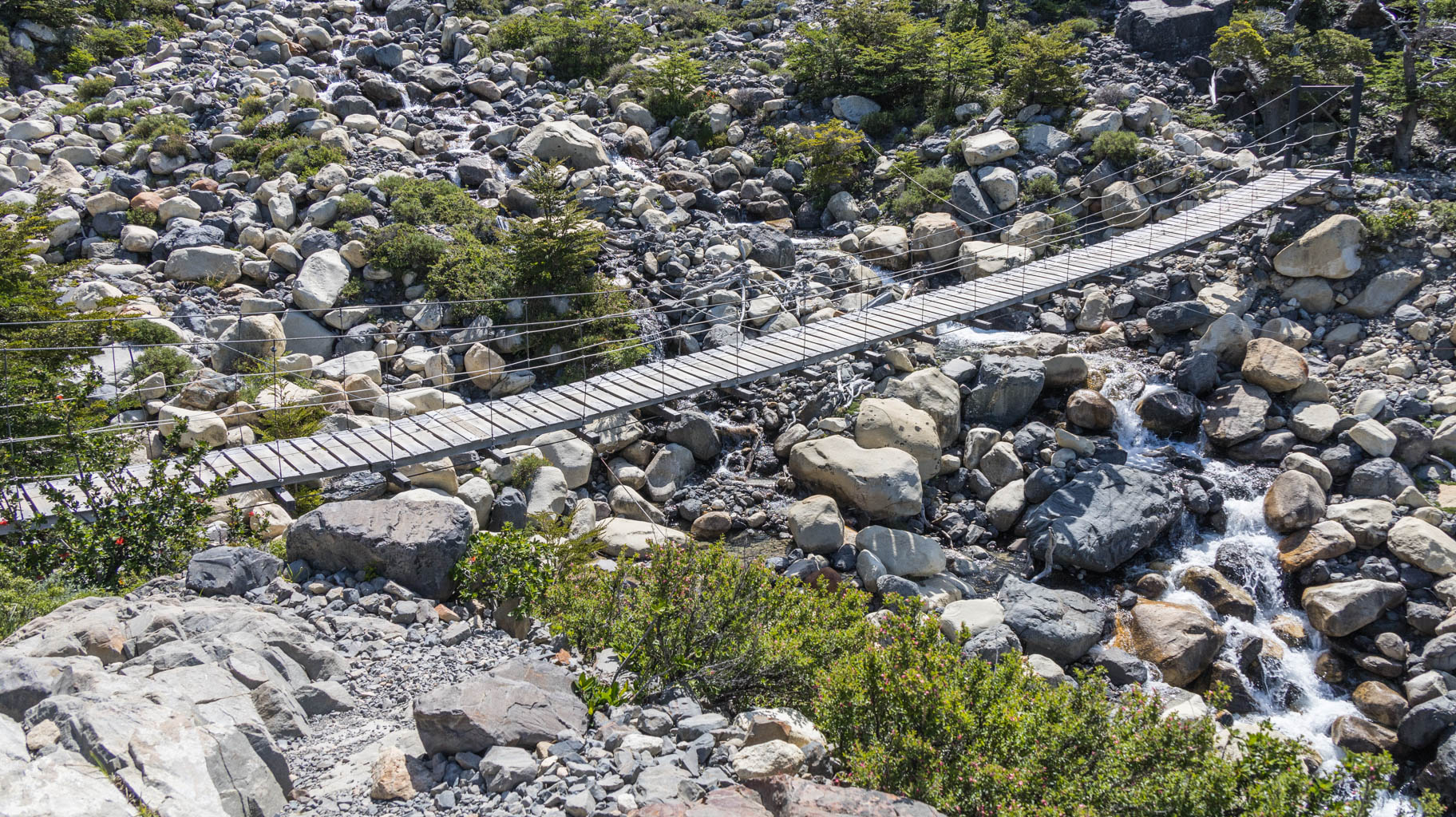
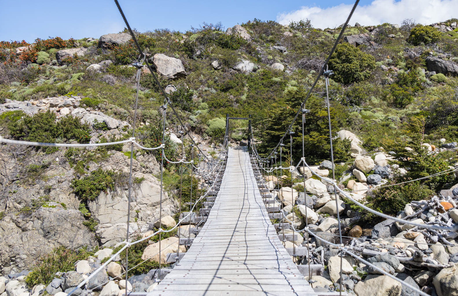
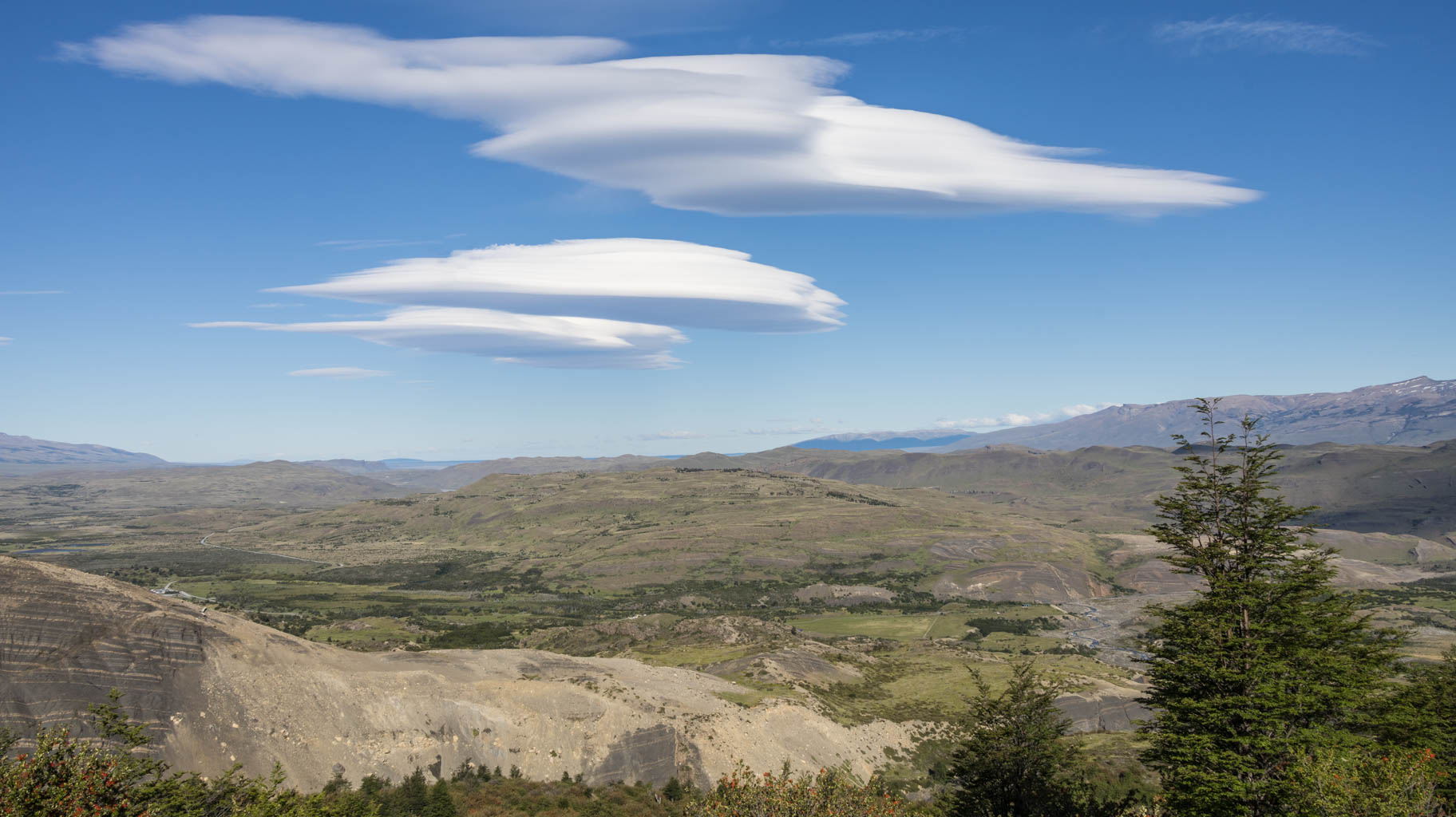
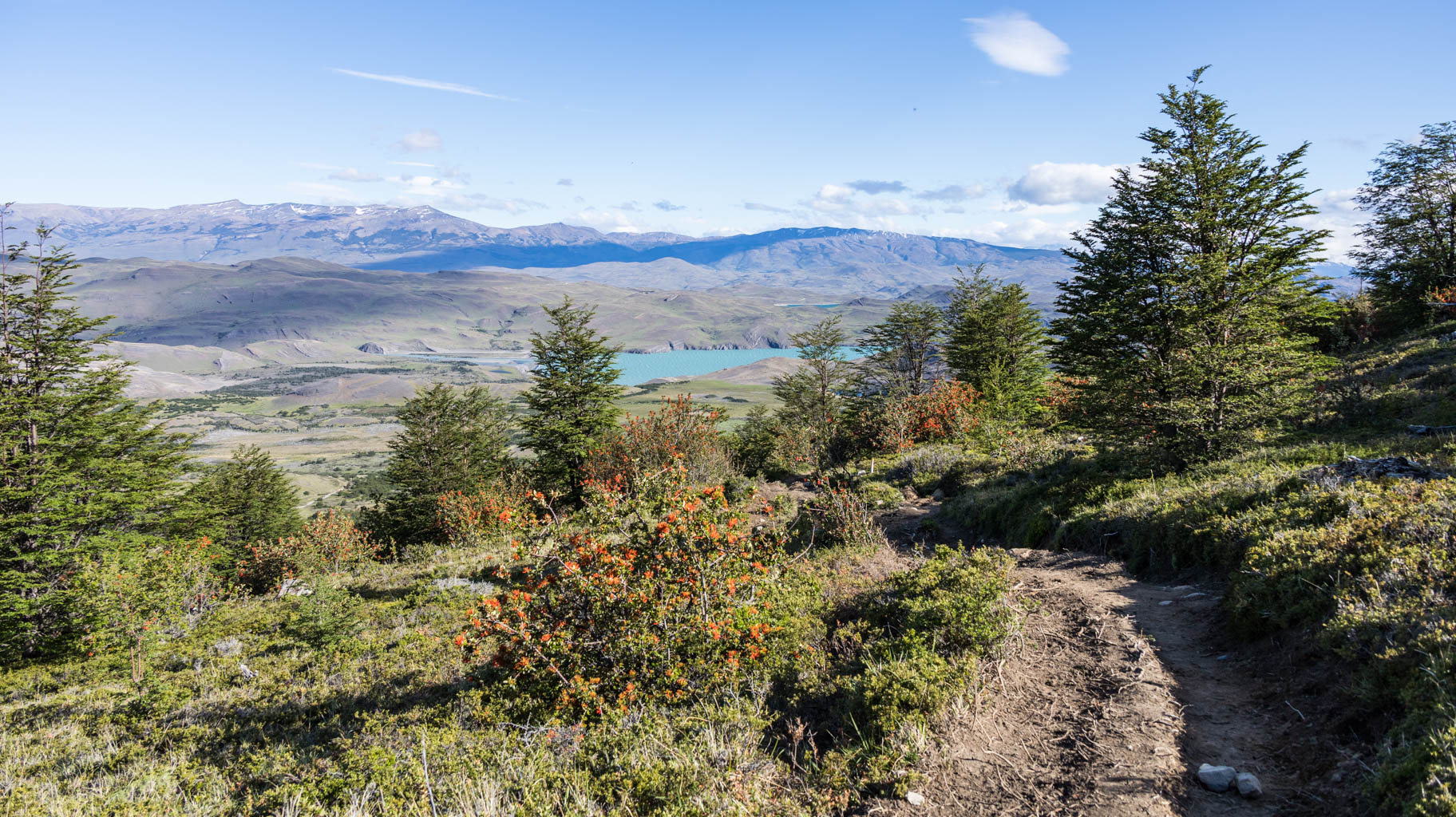
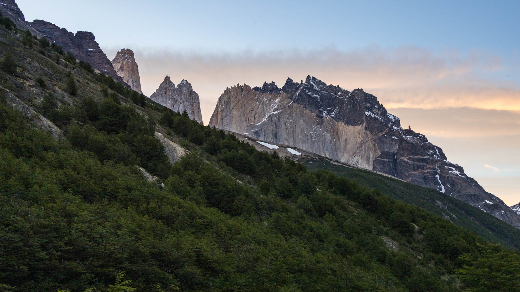
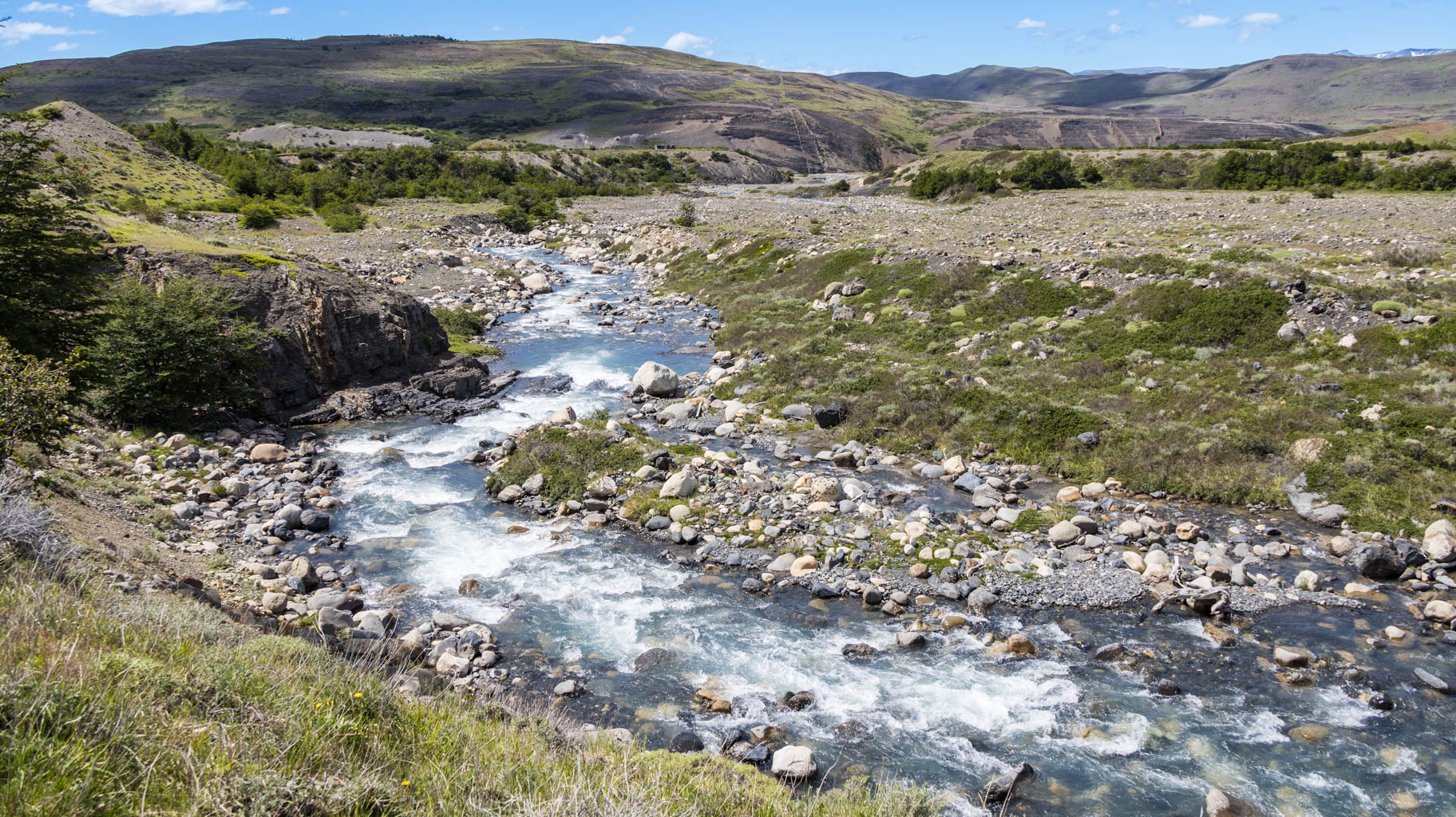
Waiting out the rain was a great decision because after about an hour of trekking, we begin to see blue skies and the sun. The park reveals many shades of green and colors to us. As we walk along the mountain slope, we see azure lakes below and the beautiful, snow-capped peaks of Patagonia above us.
Some parts of the trail are quite difficult because in some places, there are forks in the path with no signs indicating which way to go. There are also mud patches that are hard to pass, and we have to jump from rocks and logs to avoid stepping into them. Towards the end, there is also a fairly steep climb, with an elevation gain of over two hundred meters in just one and a half kilometers.
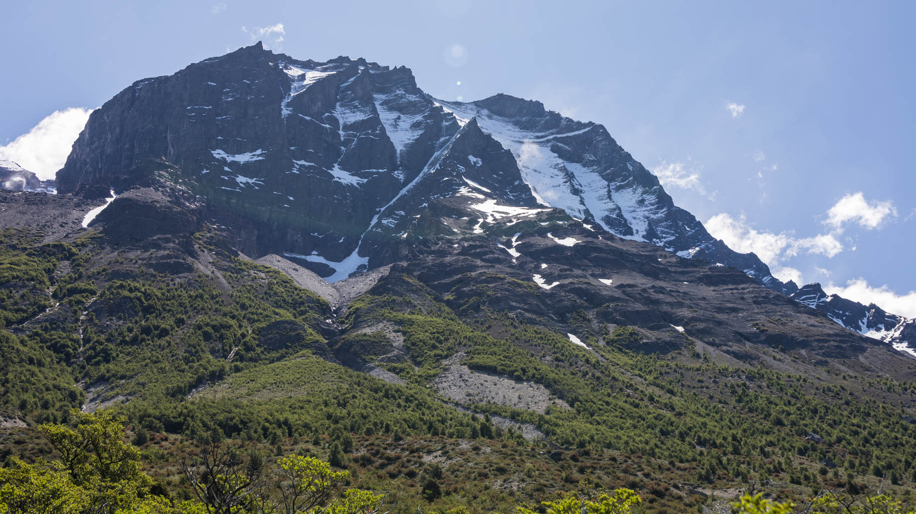
There are also perfect viewpoints of the mountains and lakes, and spots where you can simply lie on the grass and contemplate nature.
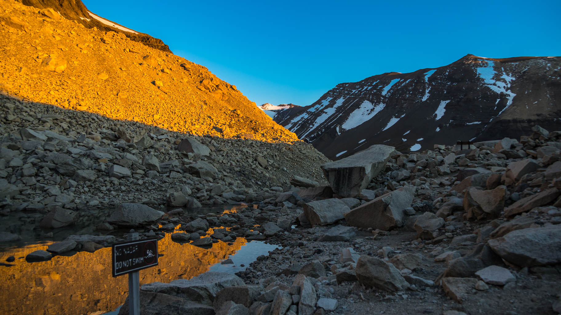
To see the famous towers at sunrise, we need to leave the shelter at 3:40 in the morning. According to the maps and the shelter staff, it takes just under two hours to reach the viewpoint, covering 4.5 km and an elevation gain of over 600 meters.
It’s quite difficult to walk in the dark because it's easy to lose the trail, especially as we climb steeply over rocks, but we reach the top a few minutes ahead of time.
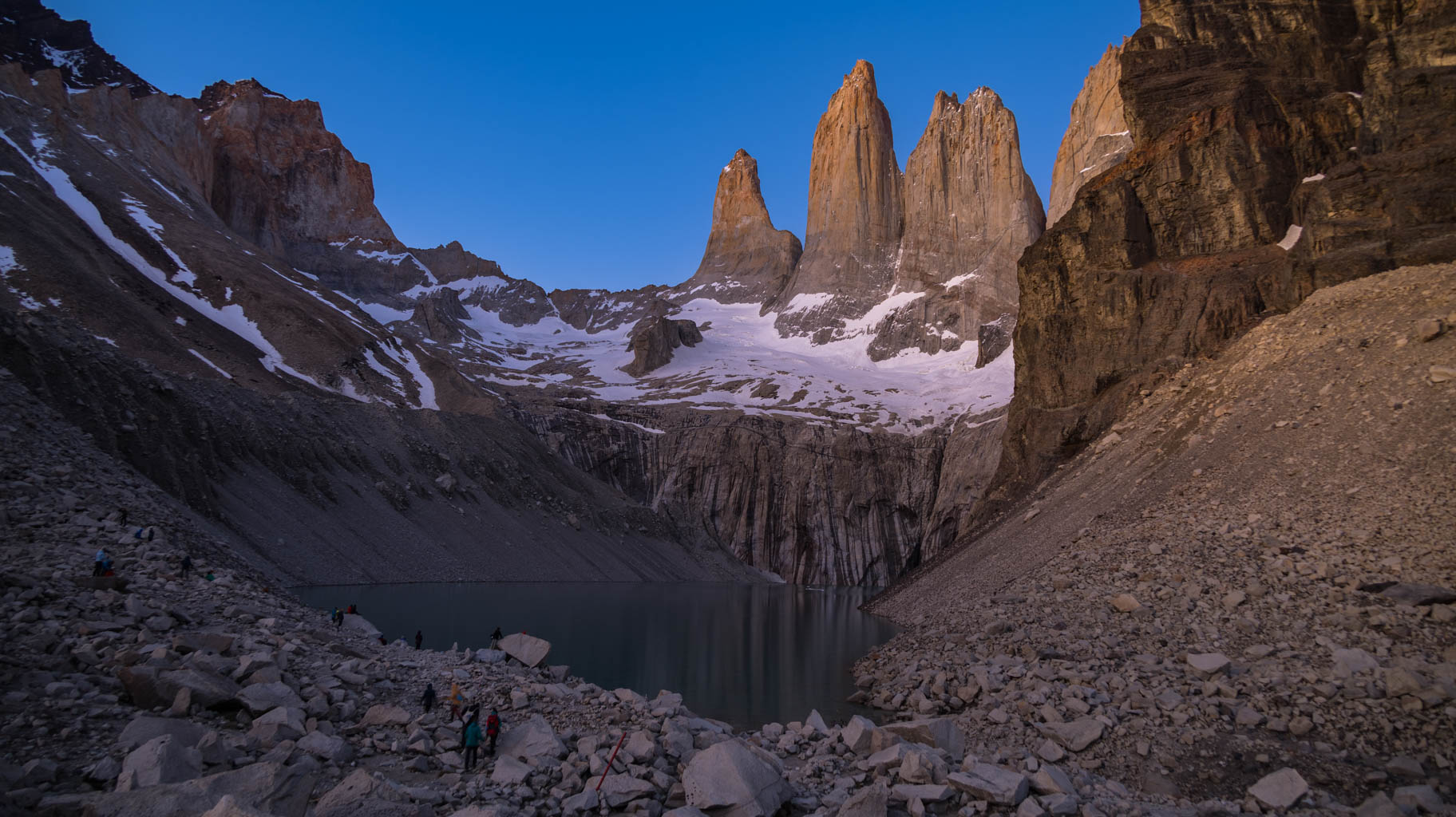
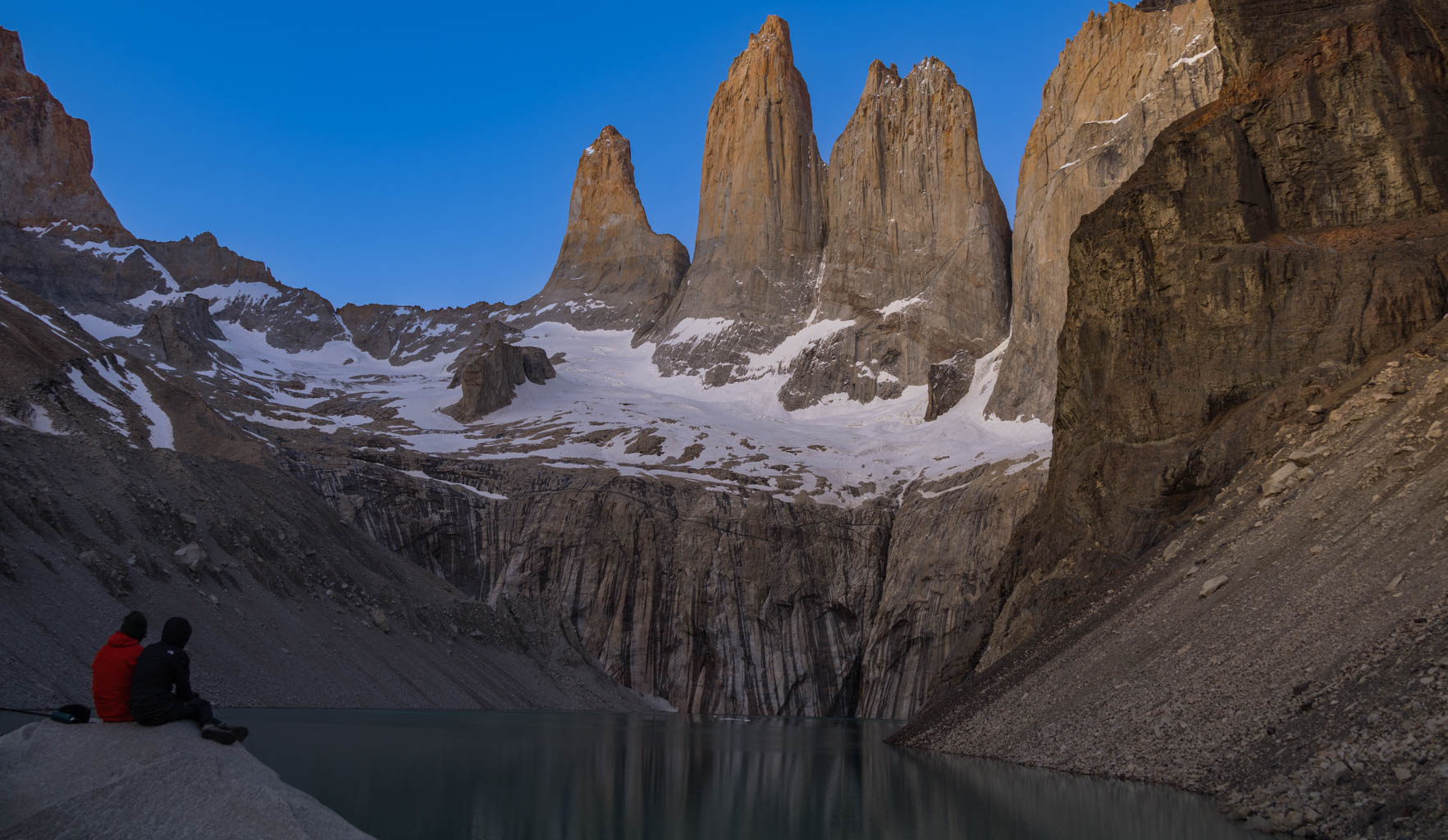
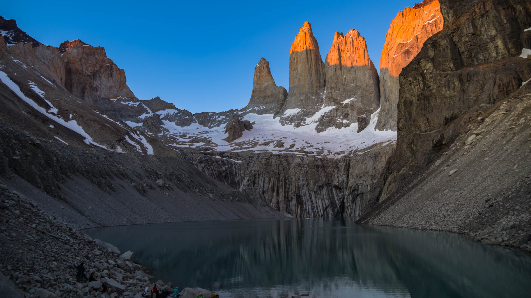
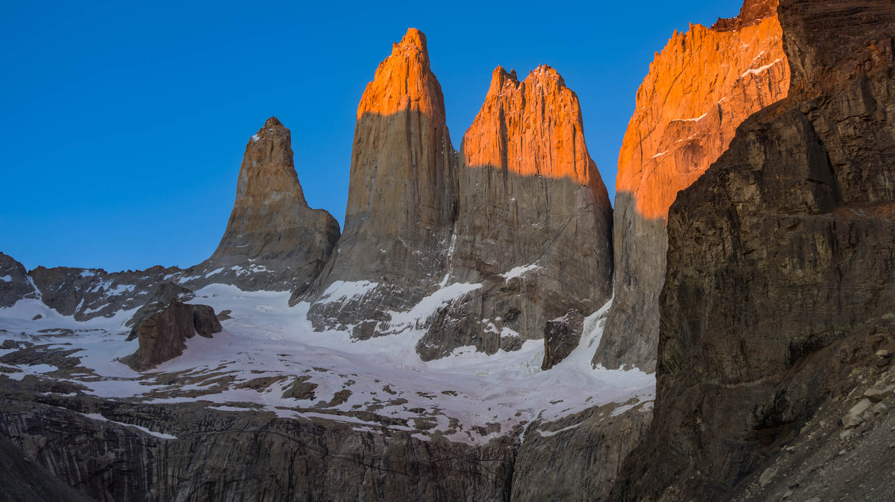
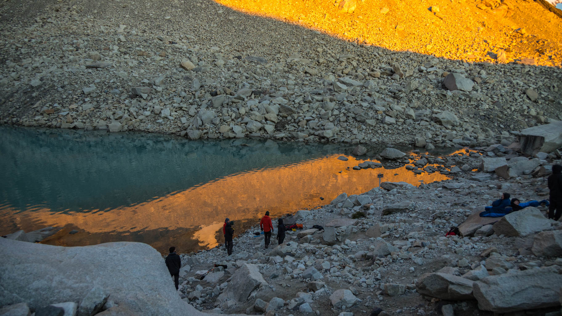
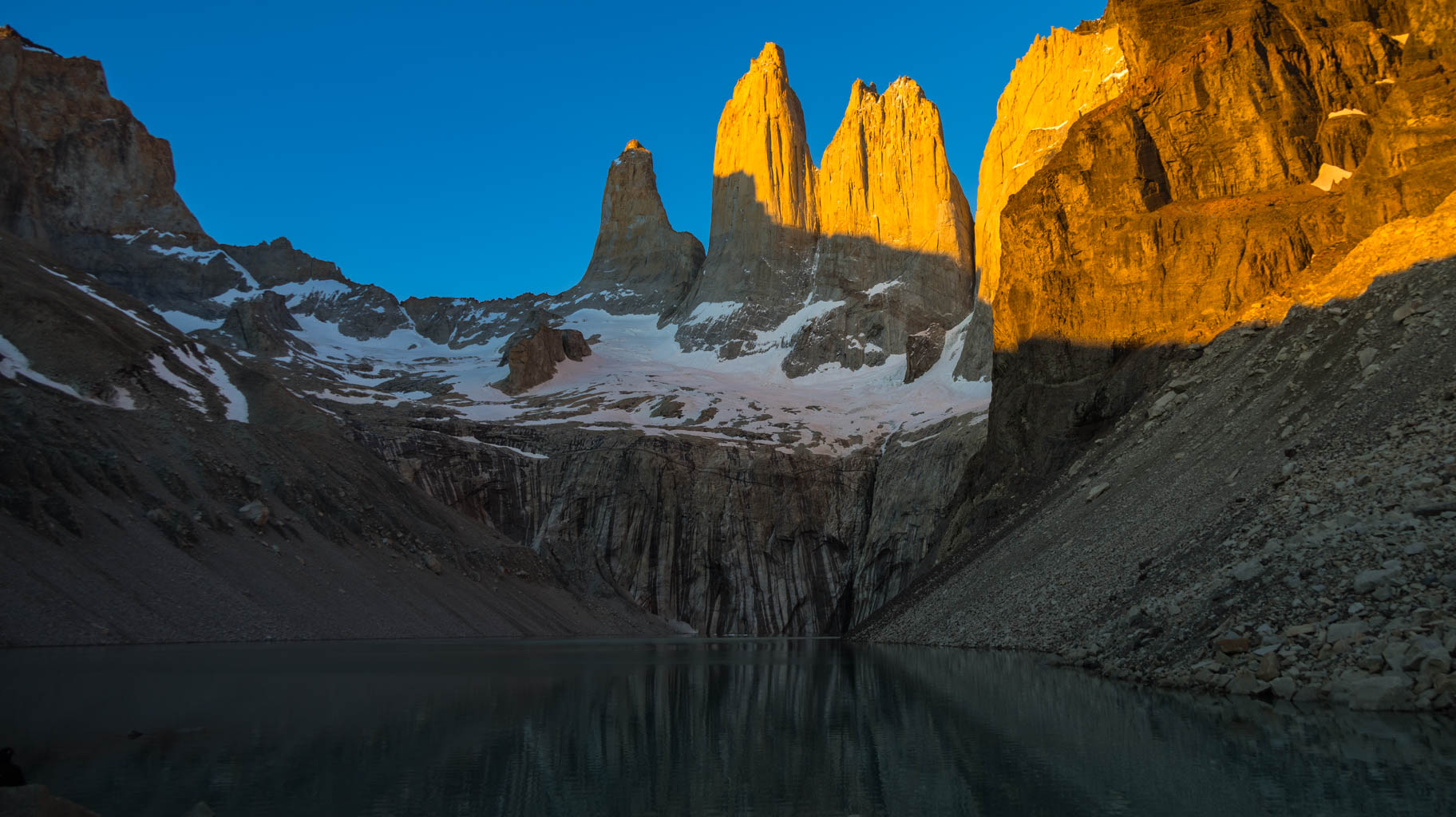
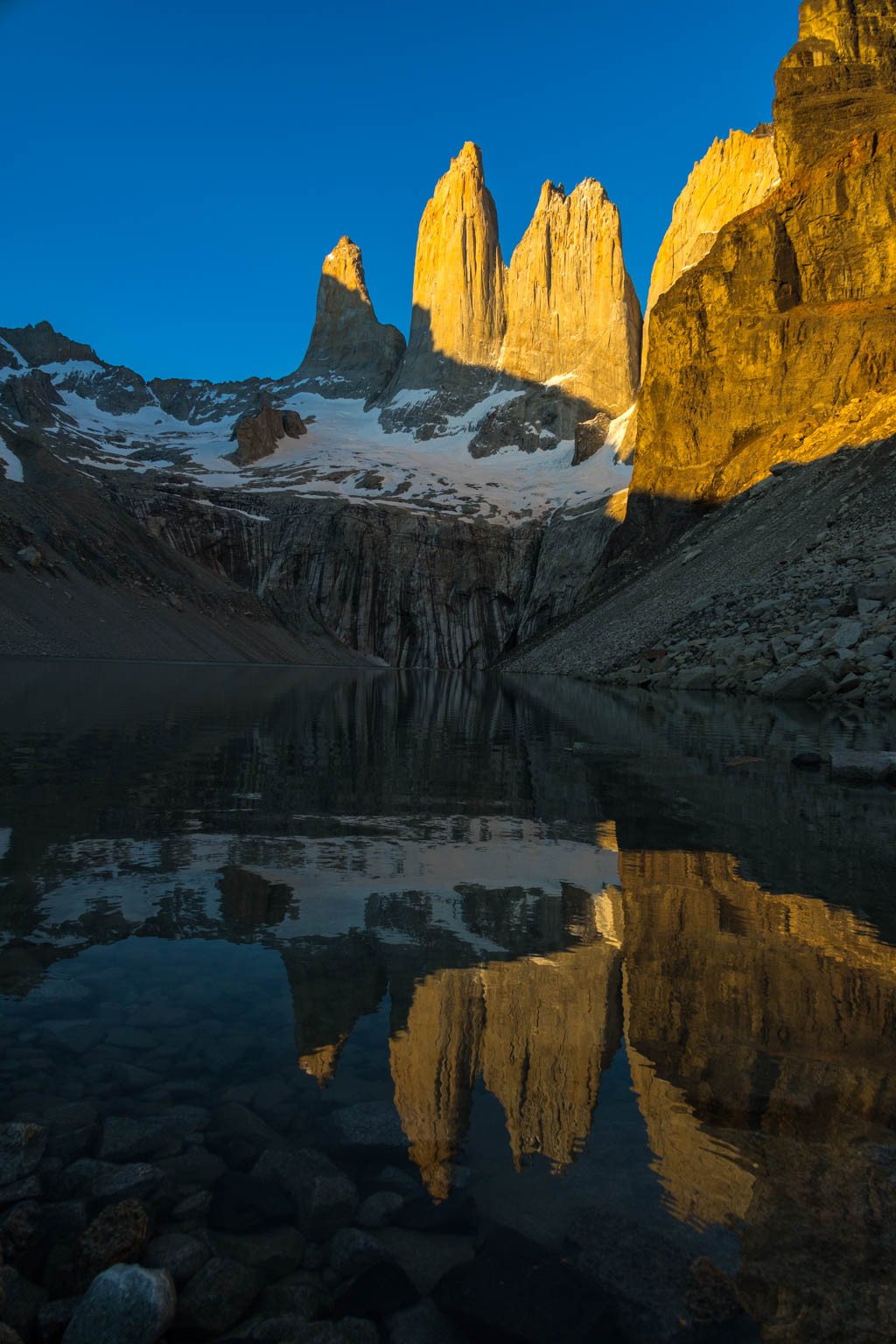
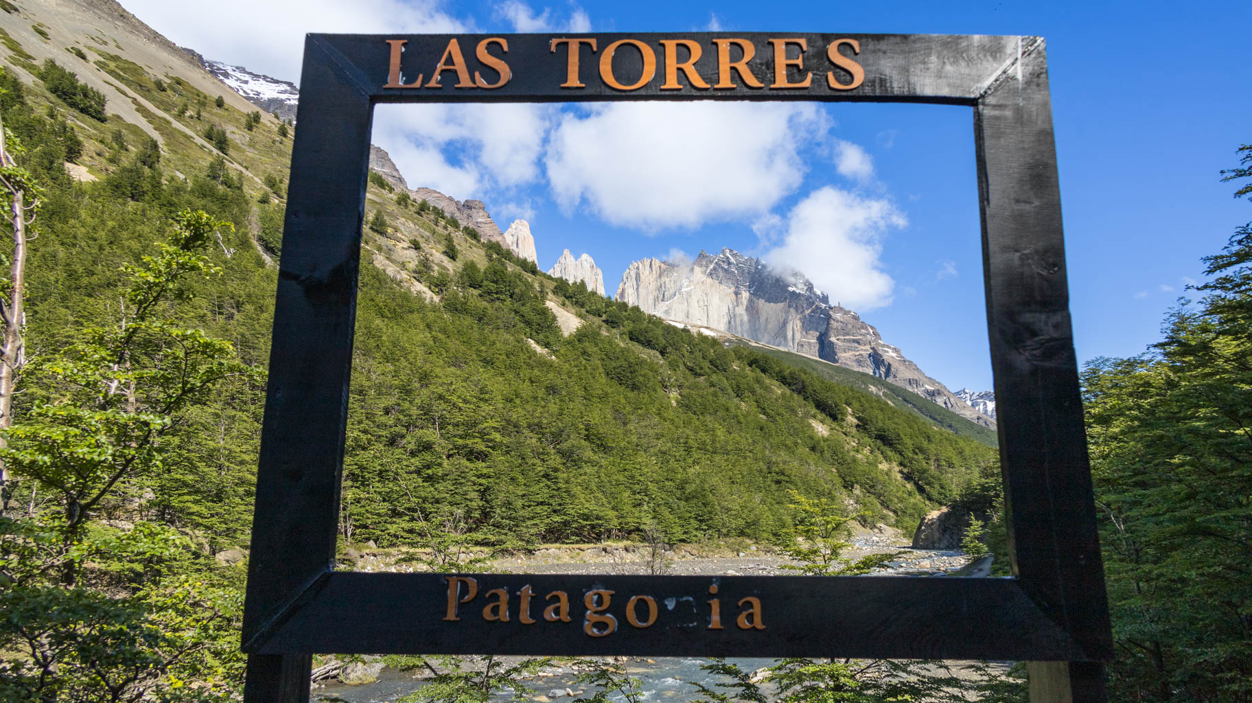
This viewpoint is the most famous spot in all of Patagonia, and photos taken here are some of the most popular on the internet. It’s no surprise, as we stand above a lake where the Los Torres towers are reflected. The sunrise here is an unforgettable experience, and it’s worth coming, despite the very early hour, the effort, and the cold temperatures at this time of day.
After experiencing the sunrise and finishing the photo session, everyone descends back to the shelter for breakfast, after which they prepare for the next leg of the journey.
For us, this marks the end of our adventure in Torres del Paine National Park.
We still have 5.6 km to walk to the bus stop, mostly downhill, bringing our total trekking distance to almost exactly 80 km over five days.
At 2:00 p.m., we take the bus to Laguna Amarga, where our car is waiting in the car park.
There’s a sticker on the car window warning that parking for more than one day in this spot requires permission from the park ranger, which we didn’t get, but fortunately, we didn’t receive any fines.
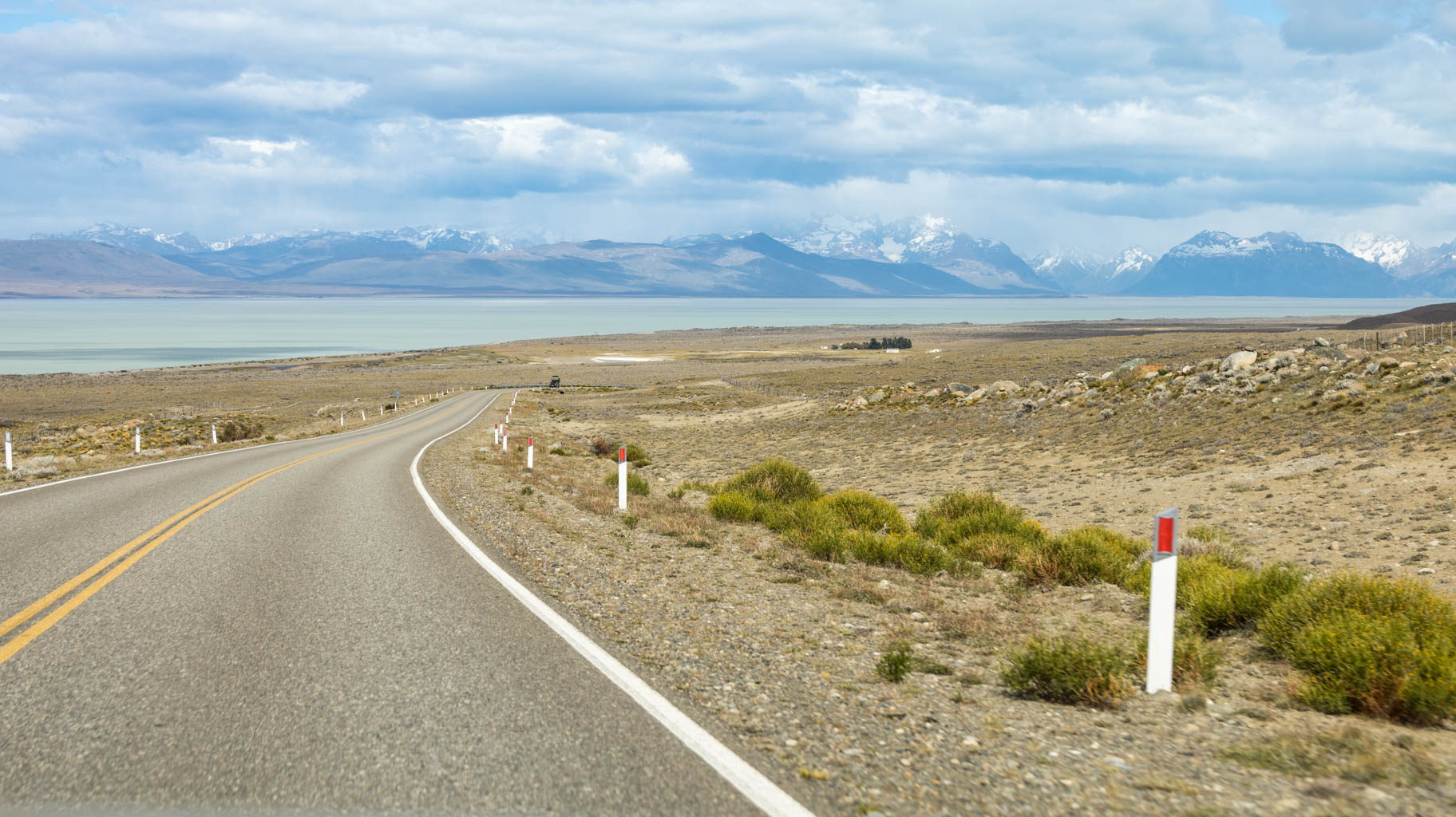
After about forty minutes of driving, we cross the border into Argentina, completing all the necessary formalities to drive our rental car into Argentina.
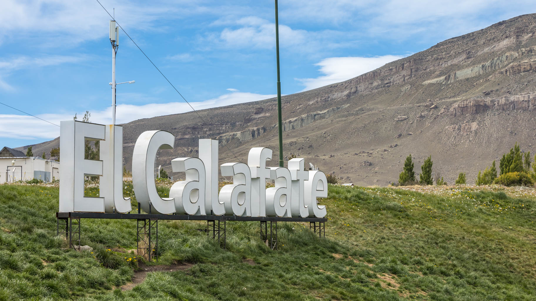
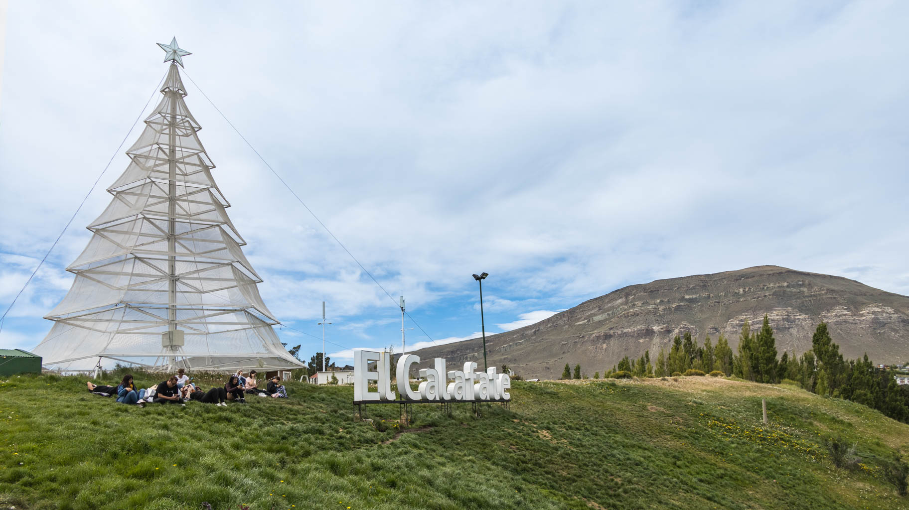
We arrive in El Calafate before 7:00 p.m., check into our apartment, and spend the rest of the day, or rather the evening, taking care of operational matters – laundry, SIM cards, dinner, shopping for breakfast, and currency exchange, which we unfortunately can’t do. However, fortunately, many places accept card payments.
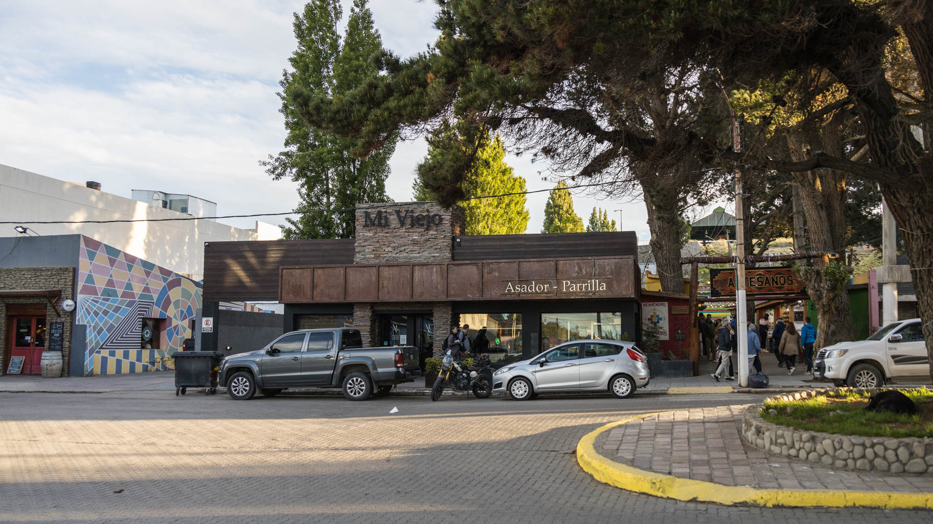
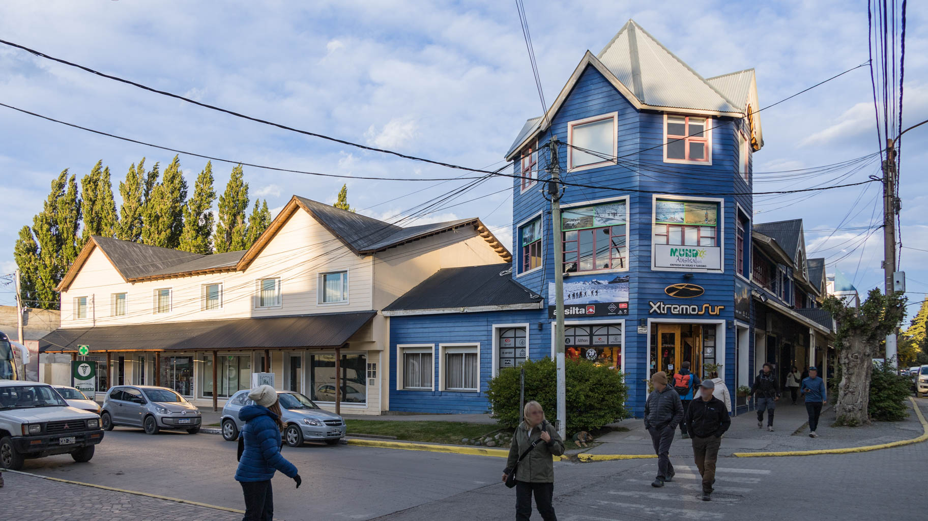
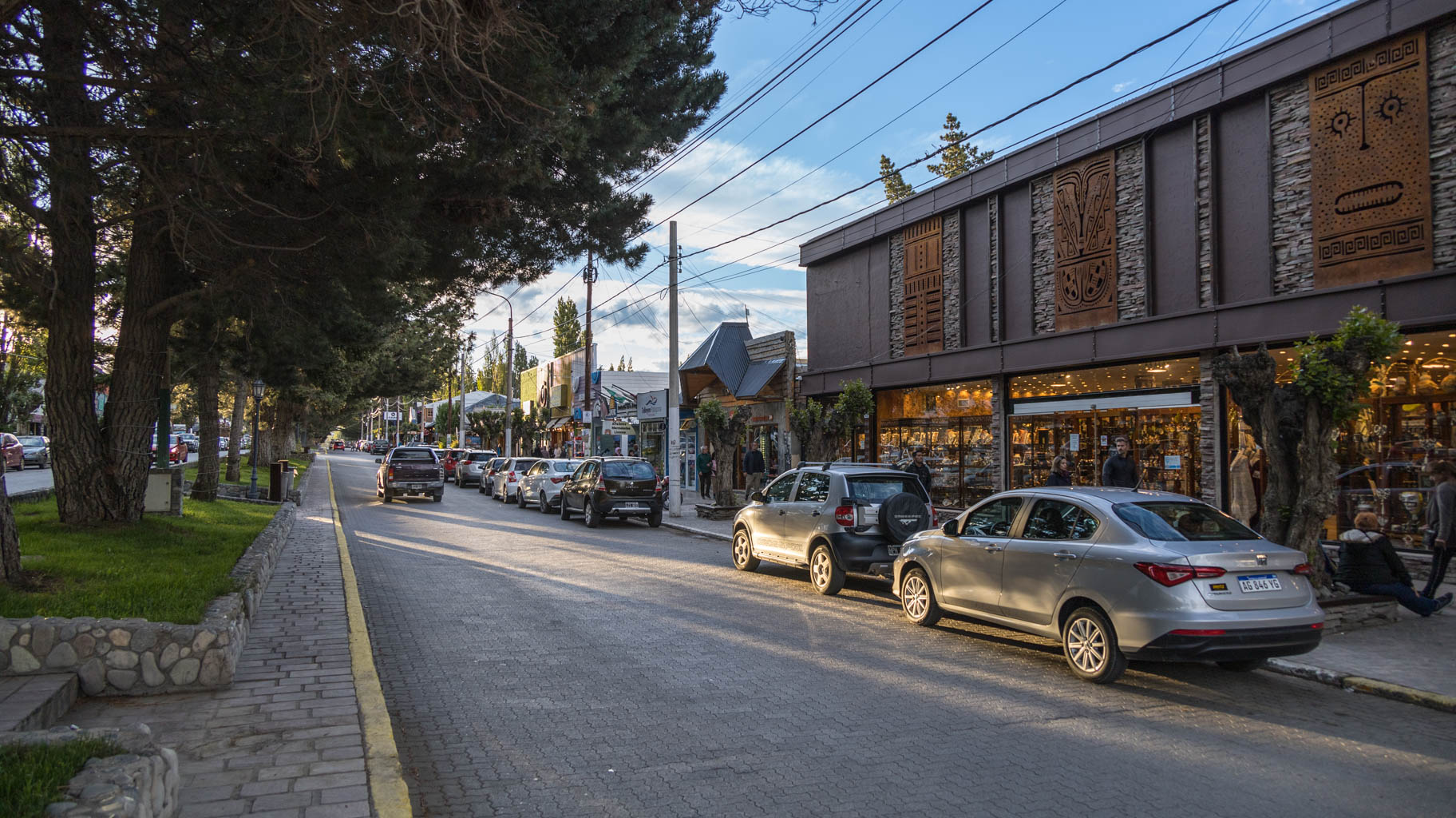
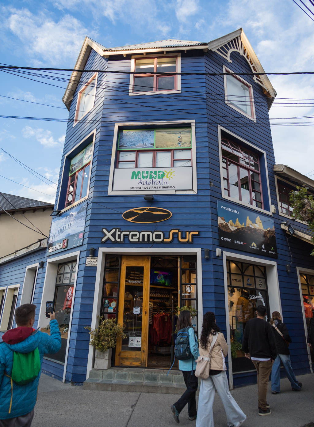
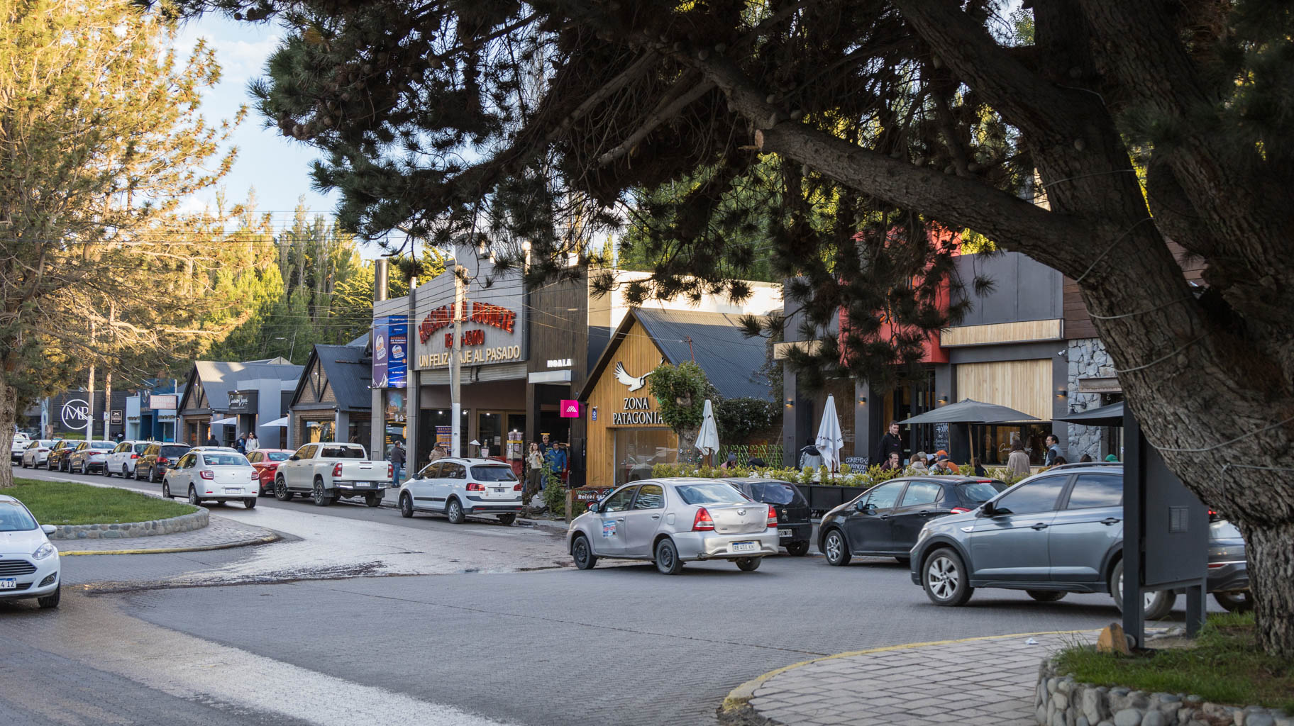
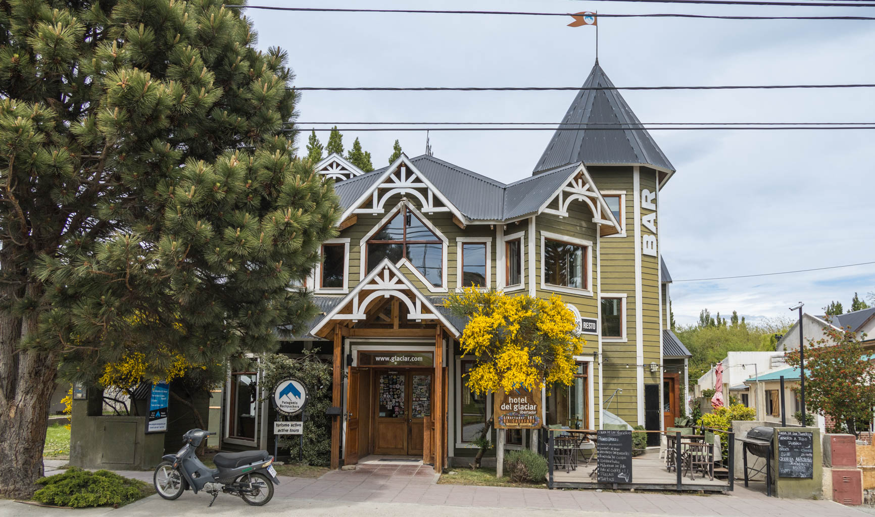
We’ve booked our next three nights in El Calafate. This small town doesn’t resemble typical Argentine cities but rather feels more like a European resort for wealthy tourists. Along the main street, Avenida del Libertador, you’ll find exclusive restaurants, shops selling jewelry, mountain clothing, souvenirs, as well as numerous banks and travel agencies offering, among other things, tours to the Perito Moreno Glacier.
One of the more interesting options available here is a four-hour trek on the glacier itself, but the price is staggering – $400, which is clearly aimed at the American market. As we know, Americans can distort the market by paying any price for the services offered, even if it's several times higher than expected.
A cheaper option is a half-hour trek on the glacier for... $200. A boat ride beneath the glacier costs about $60.
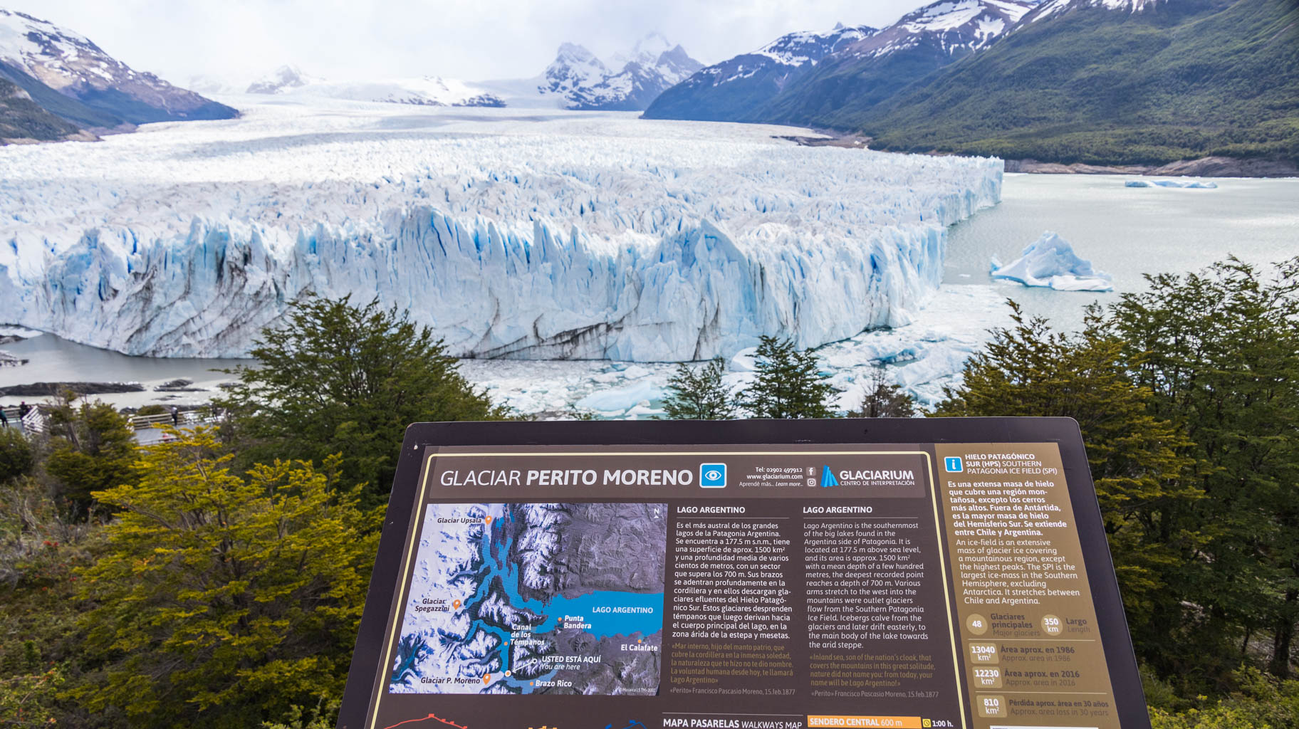
We decide to drive ourselves to the glacier viewpoint, and the only cost, though substantial, is the entrance fee to Los Glaciares National Park. There are a few options here: you can buy a one-day ticket for a specific part of the park, such as Mirador Perito Moreno or Fitz Roy, for $45 per person per day. Alternatively, you can buy a three-day ticket for $90, which makes the most sense given we plan to visit both locations. A heads-up: tickets to the park must be purchased in advance online, and there are often problems with card payments on the park's website, so it’s better to bring a few cards with you. It’s also better to buy the tickets while still in the city because there’s no signal outside of town.
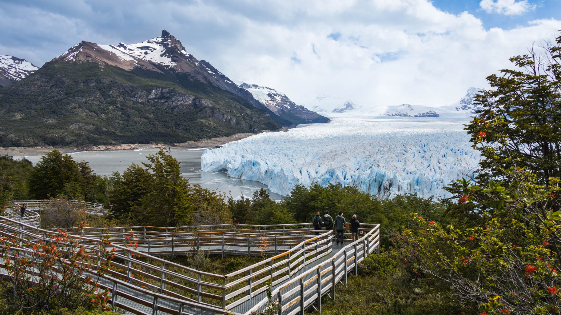
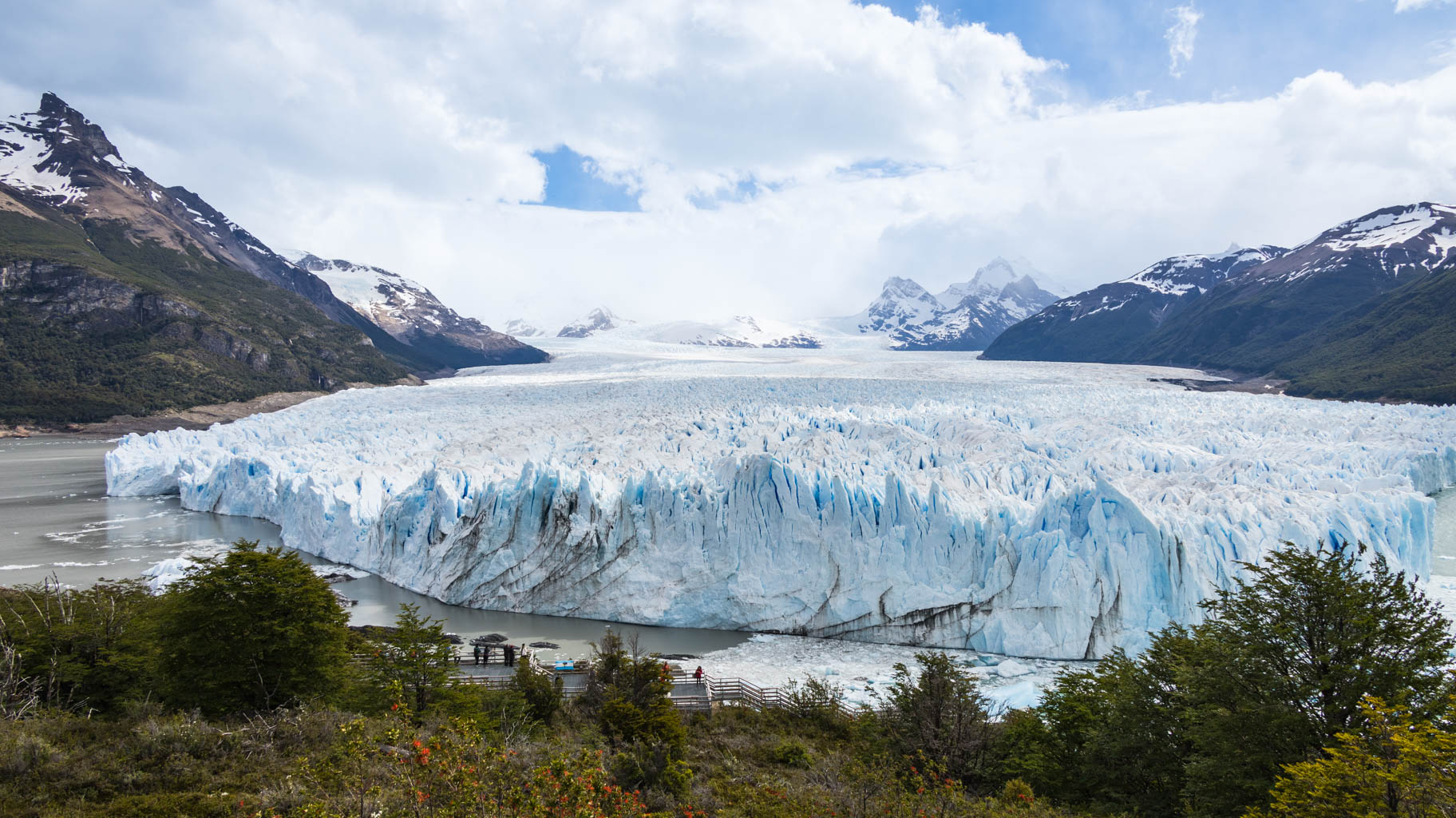
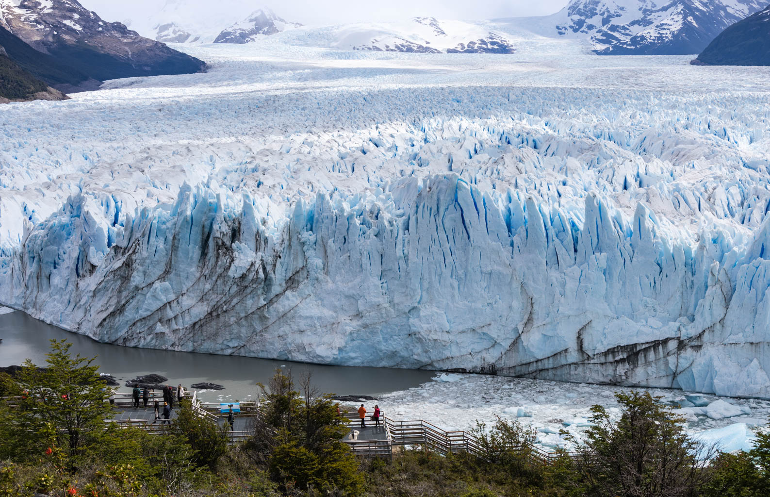
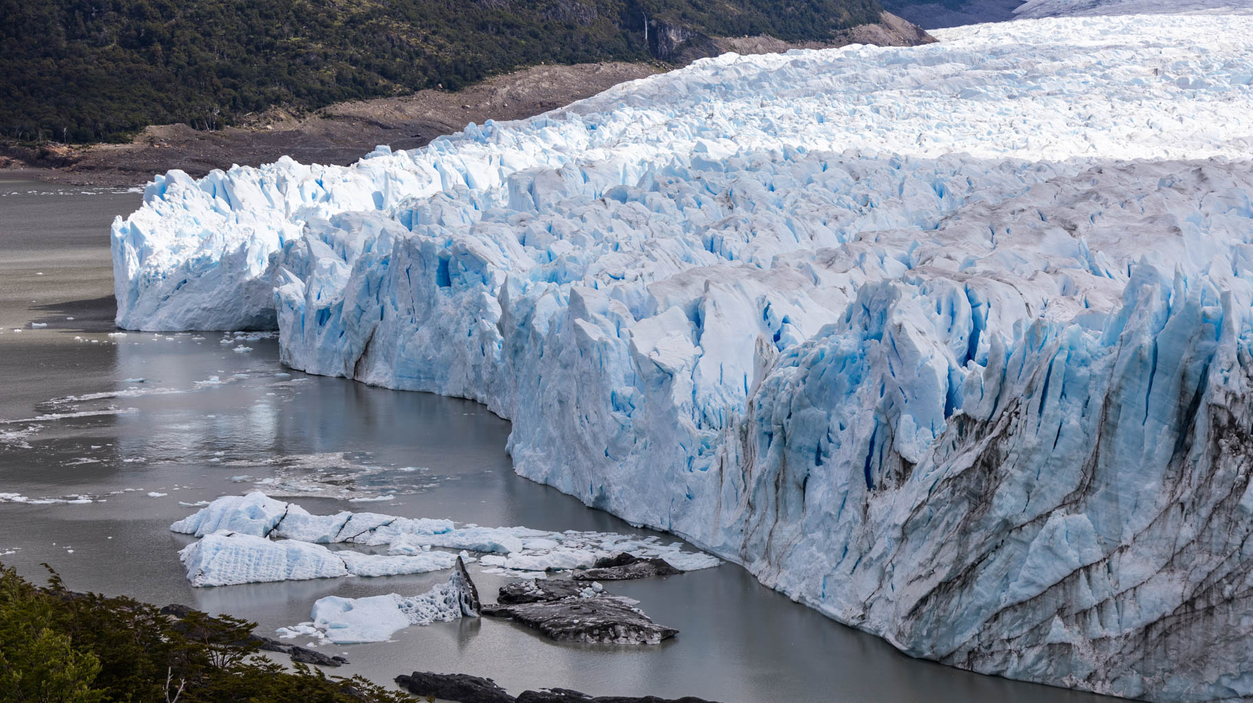
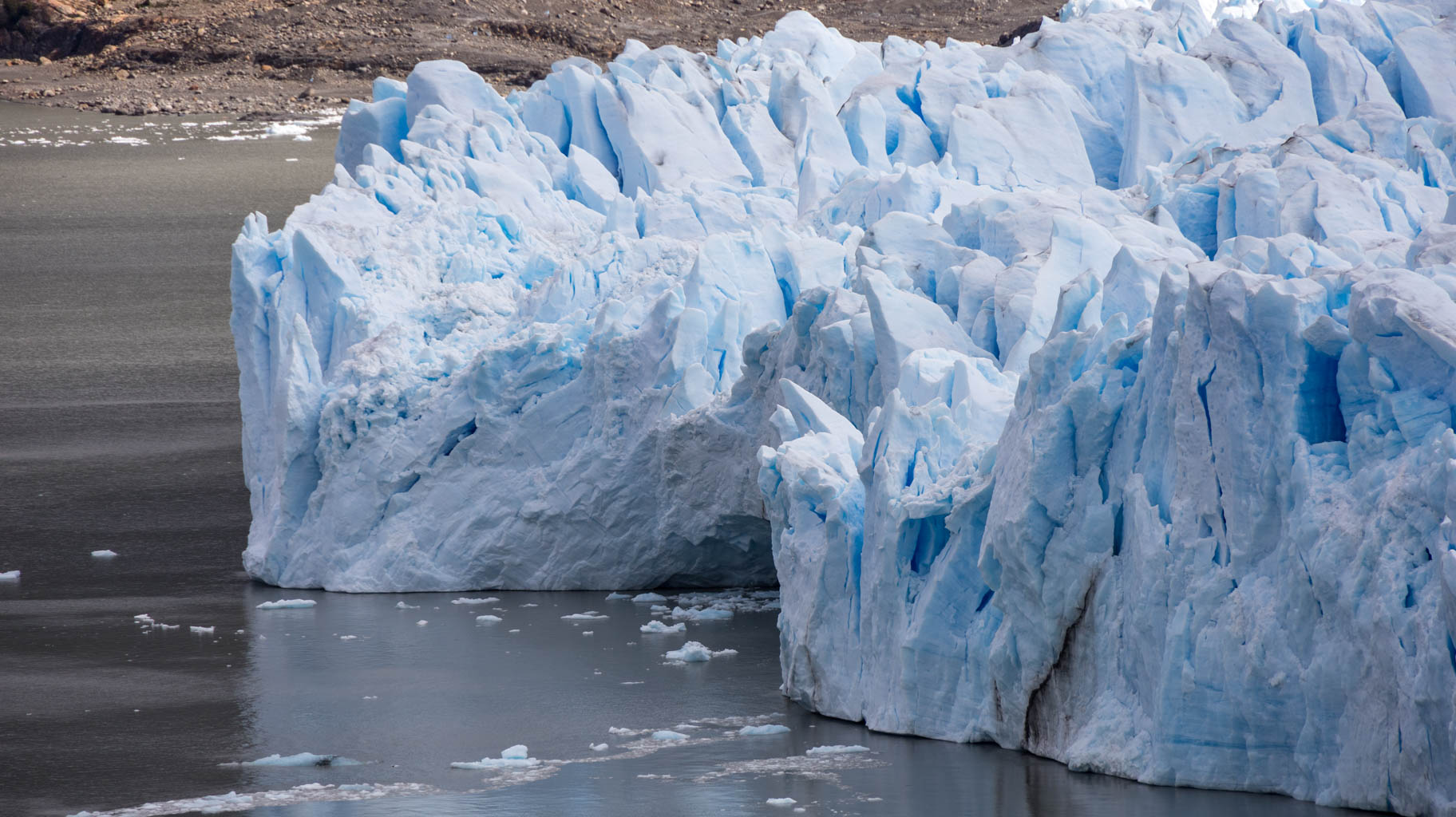
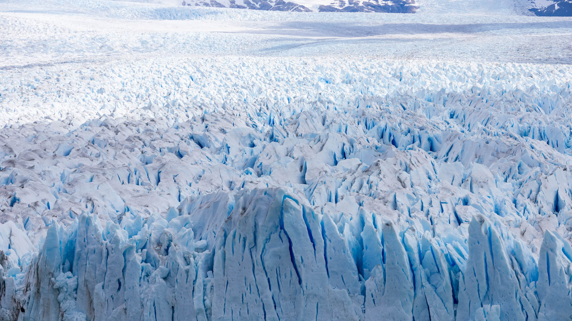
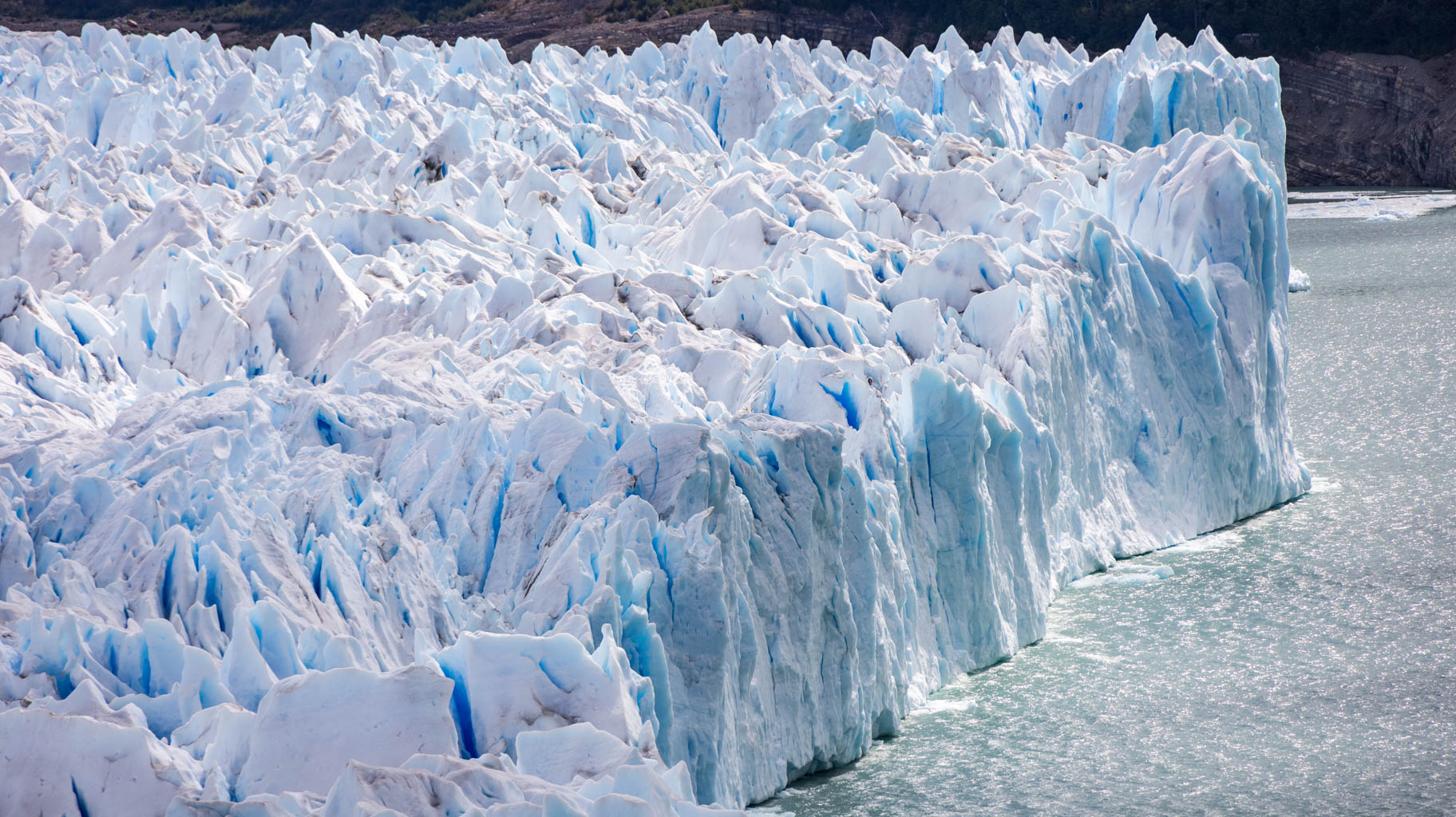
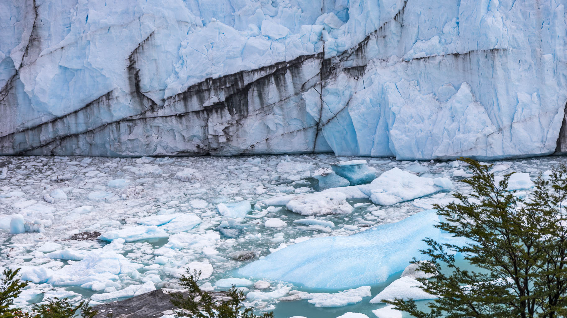
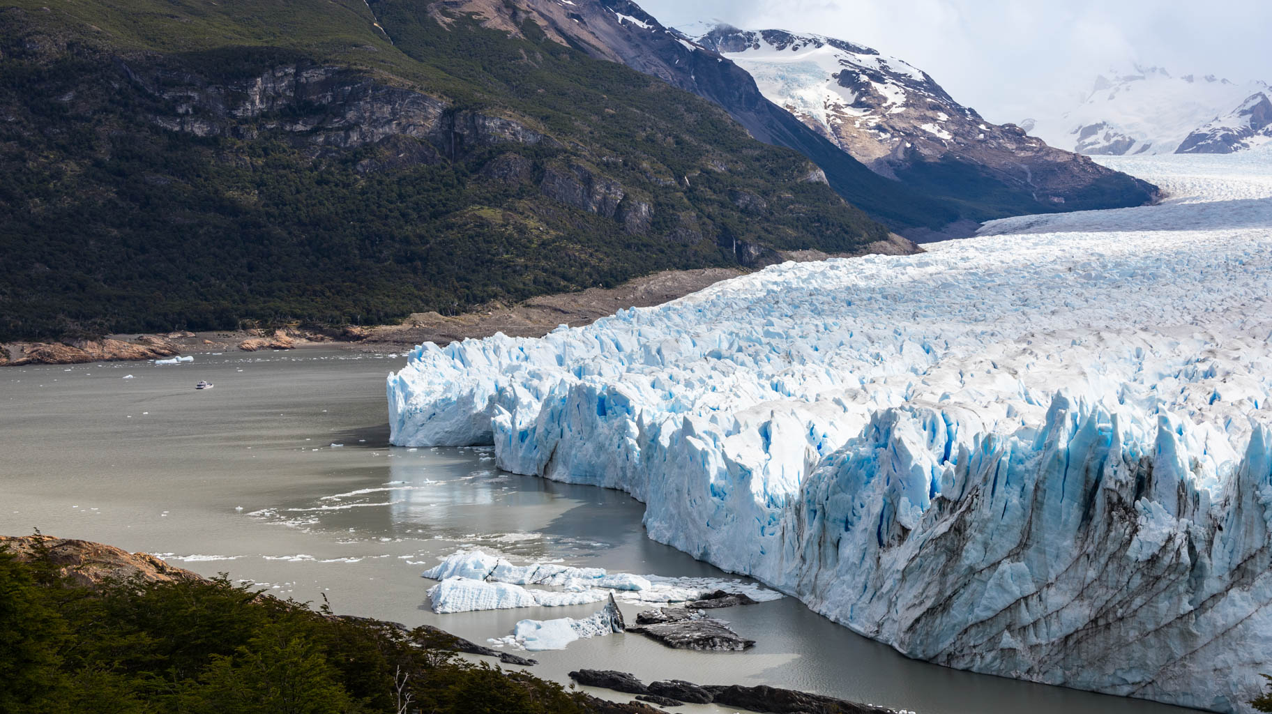
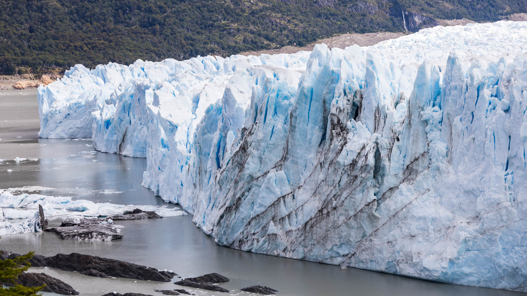
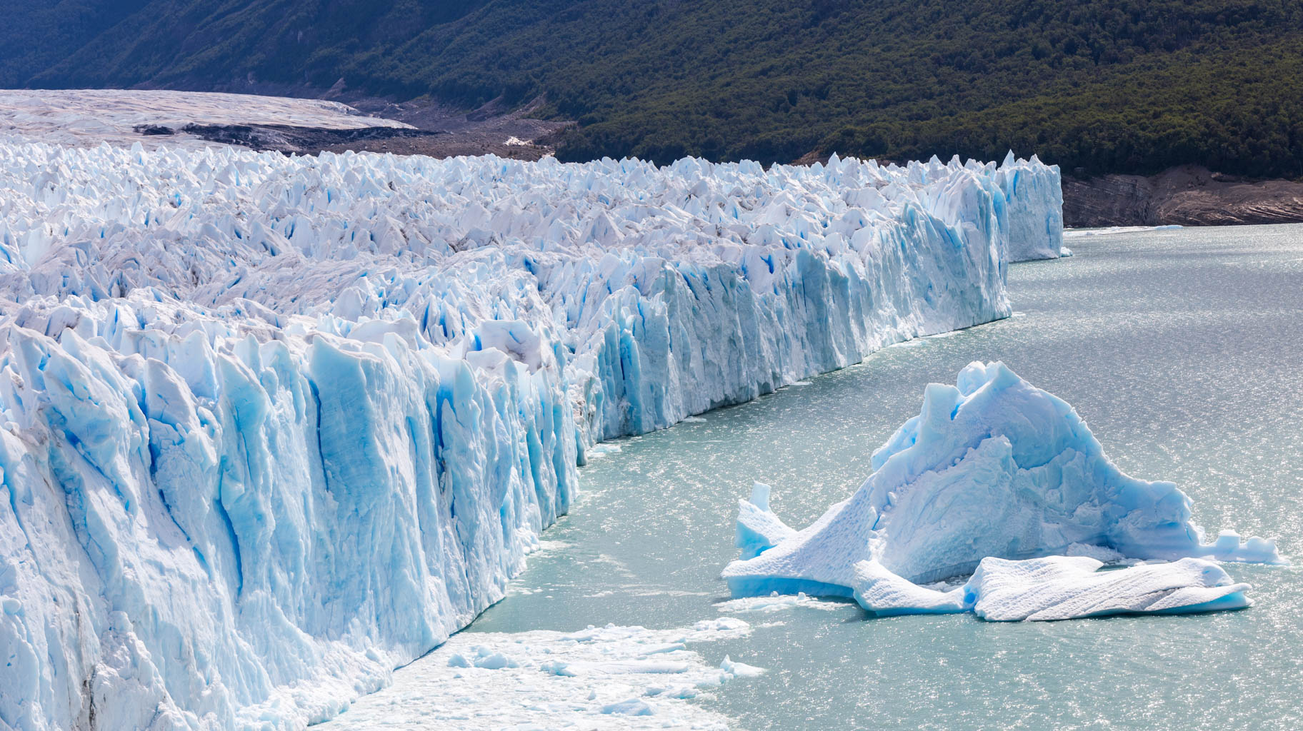
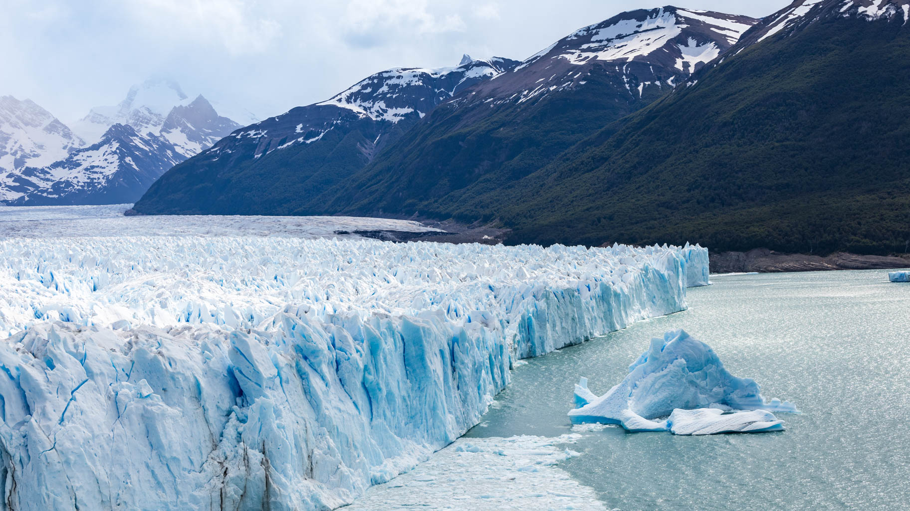
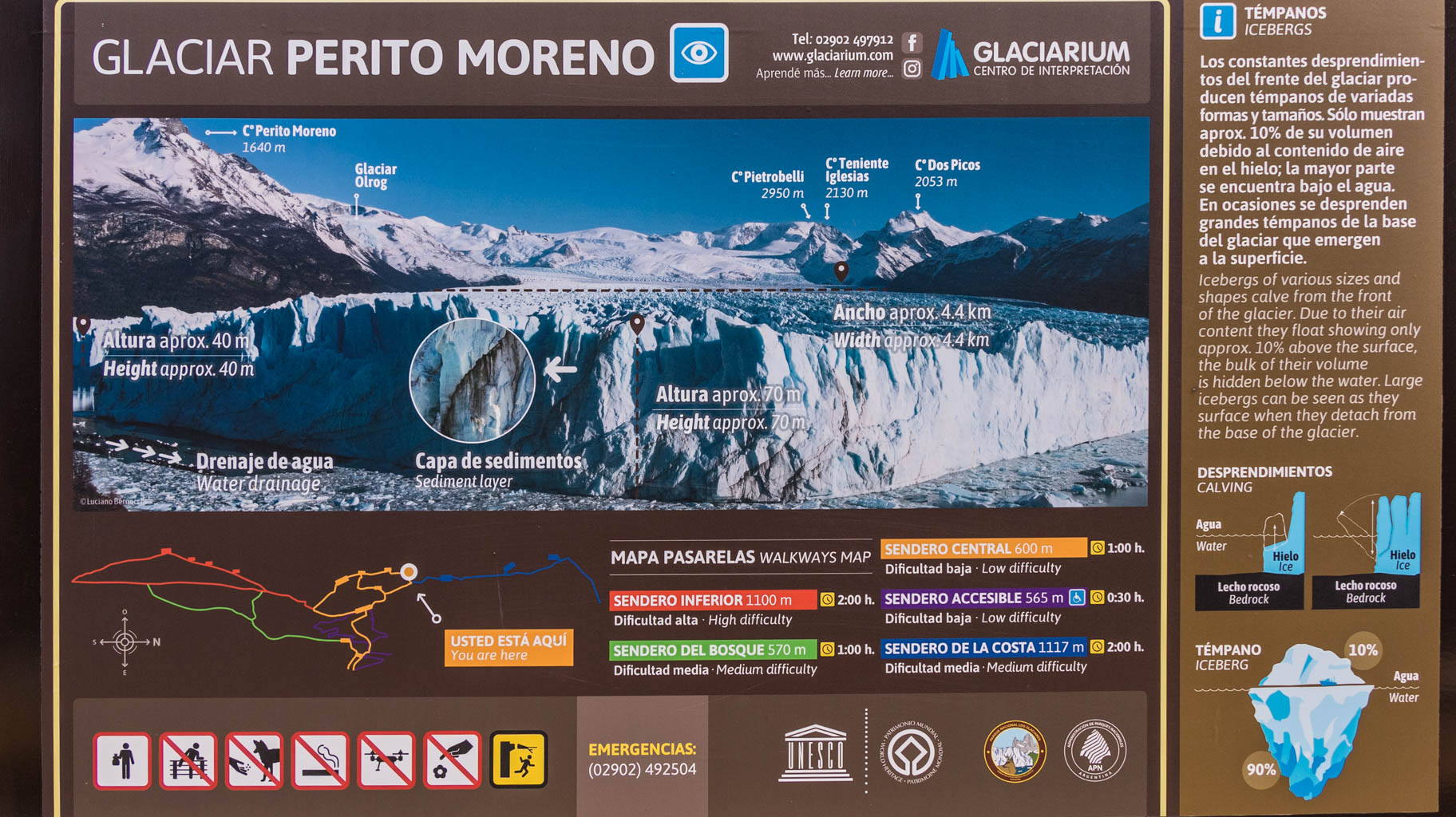
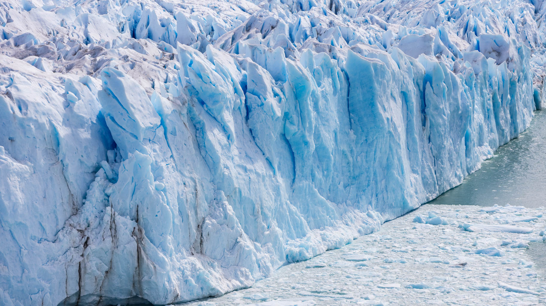
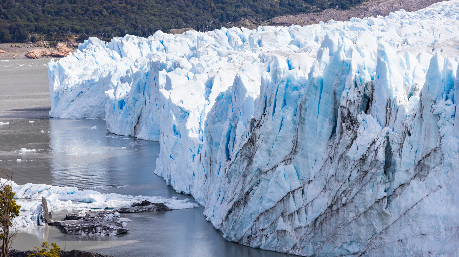
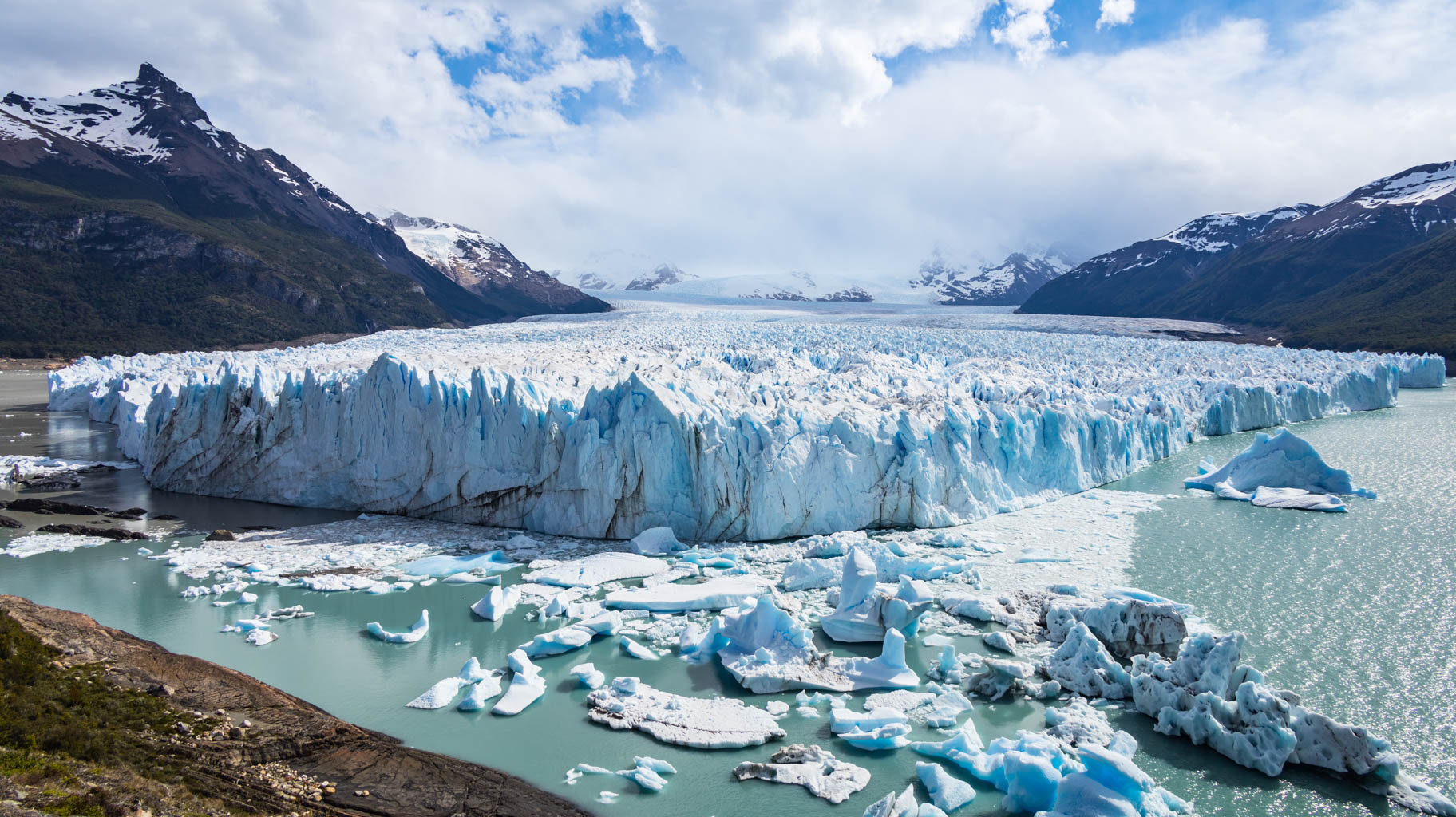
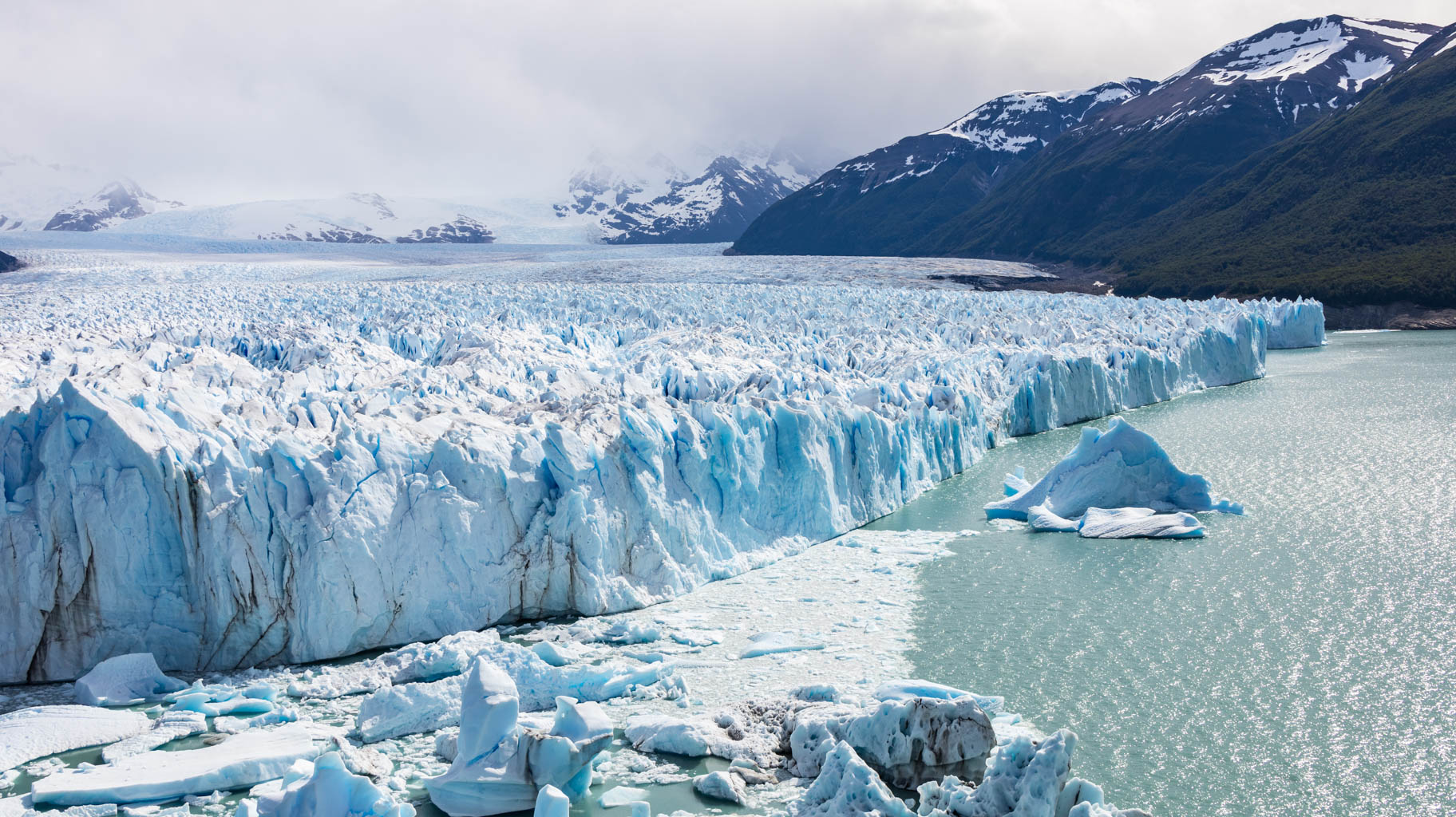
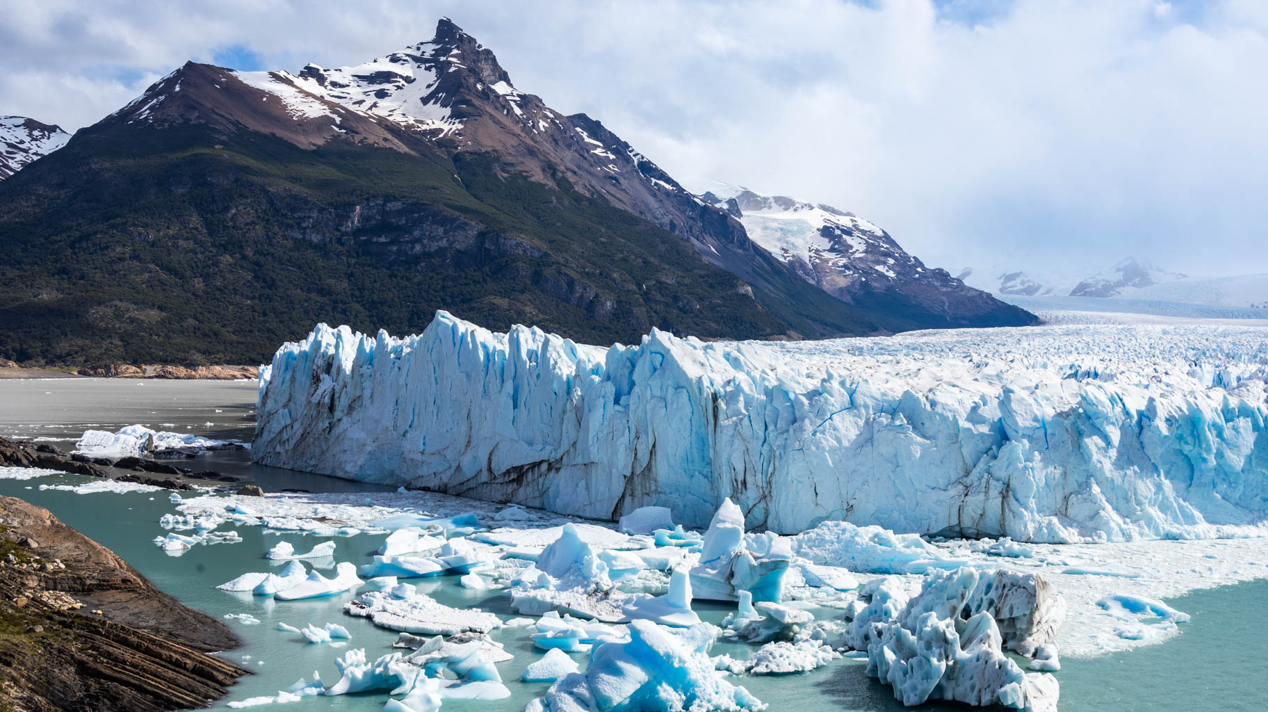
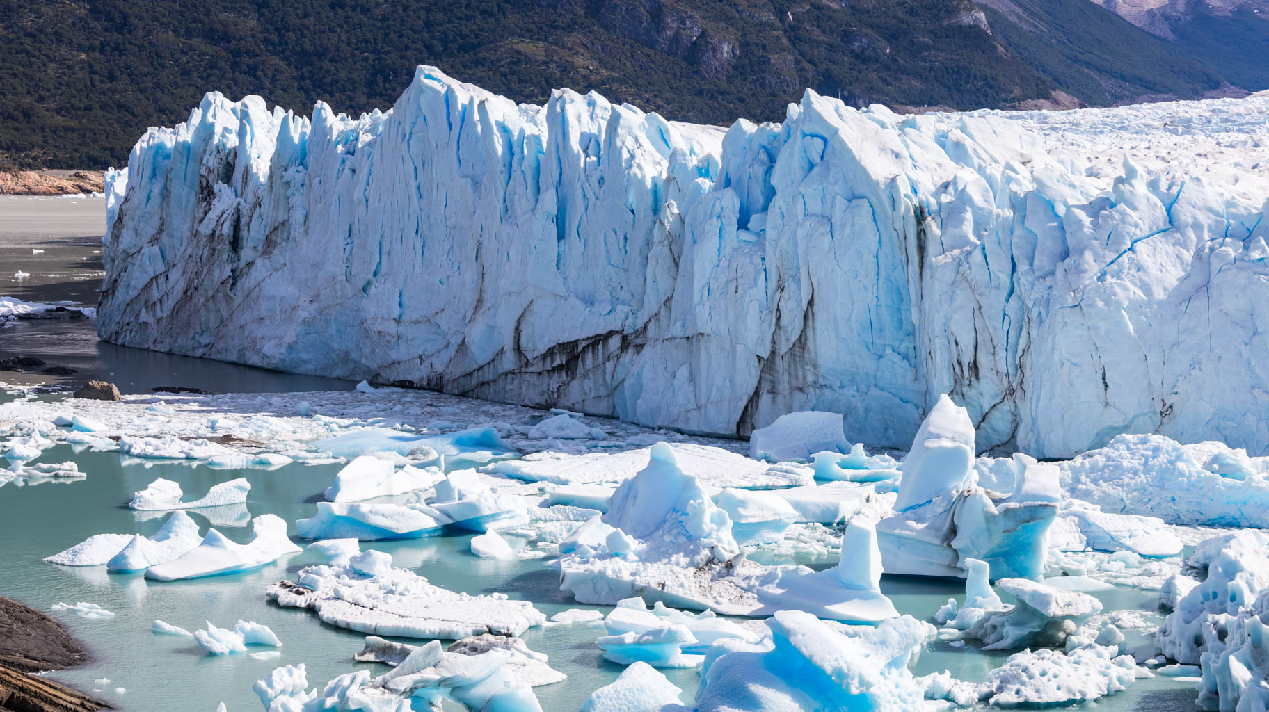
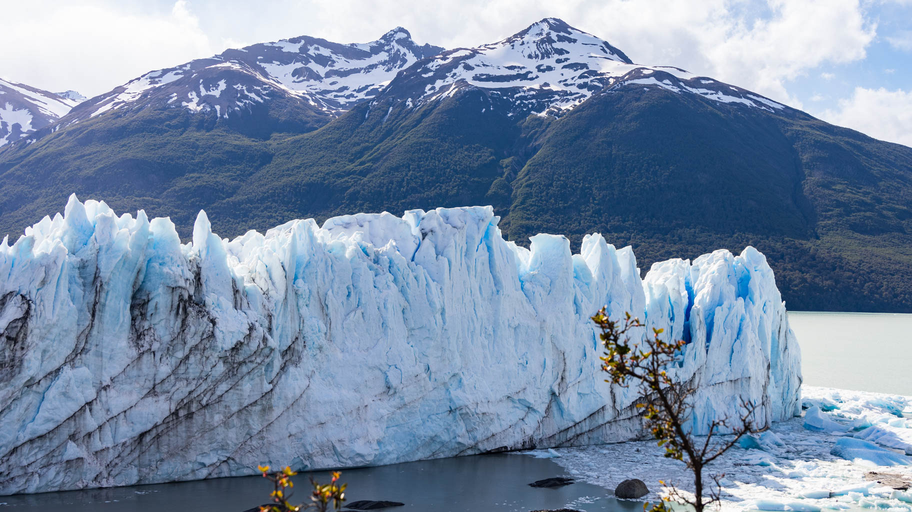
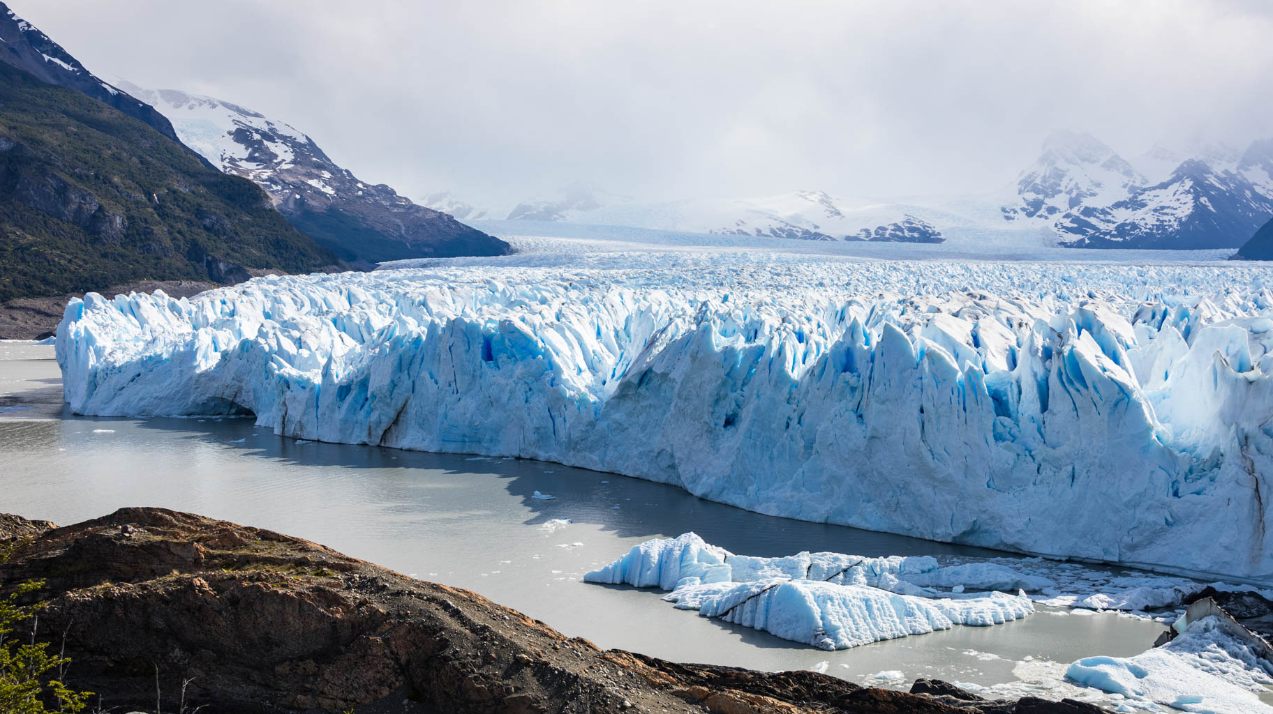
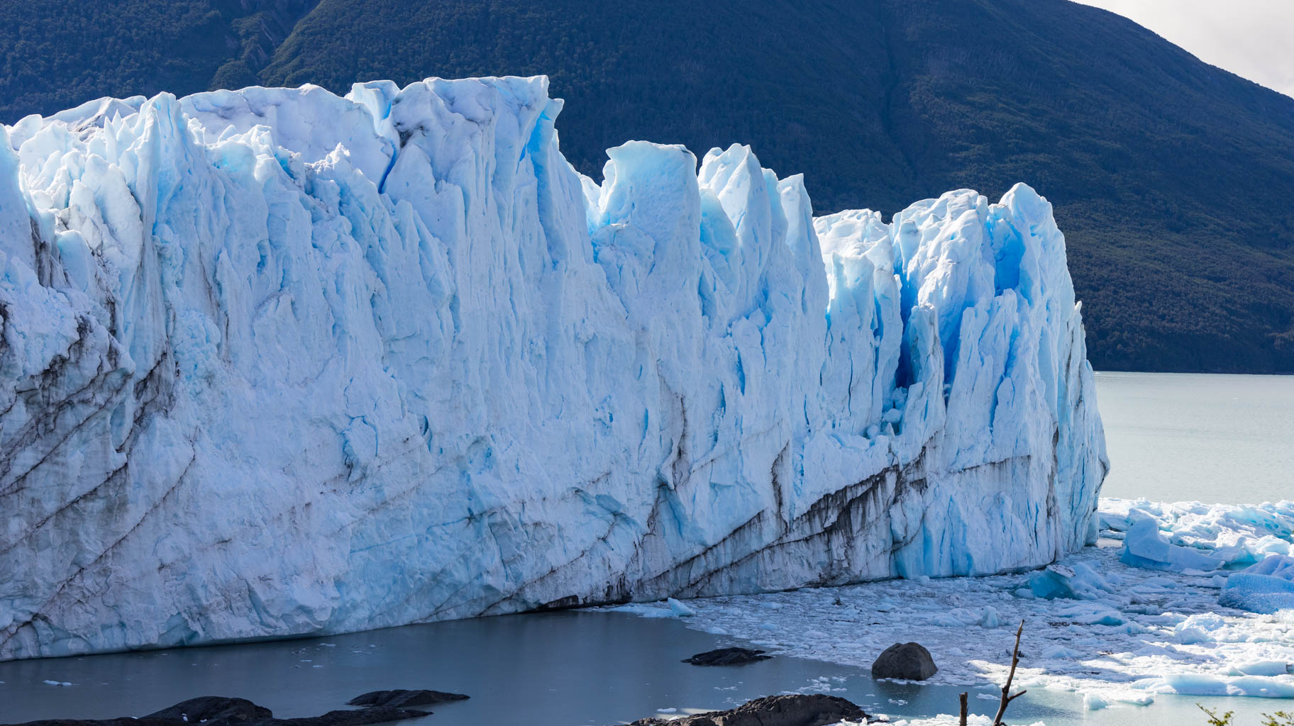
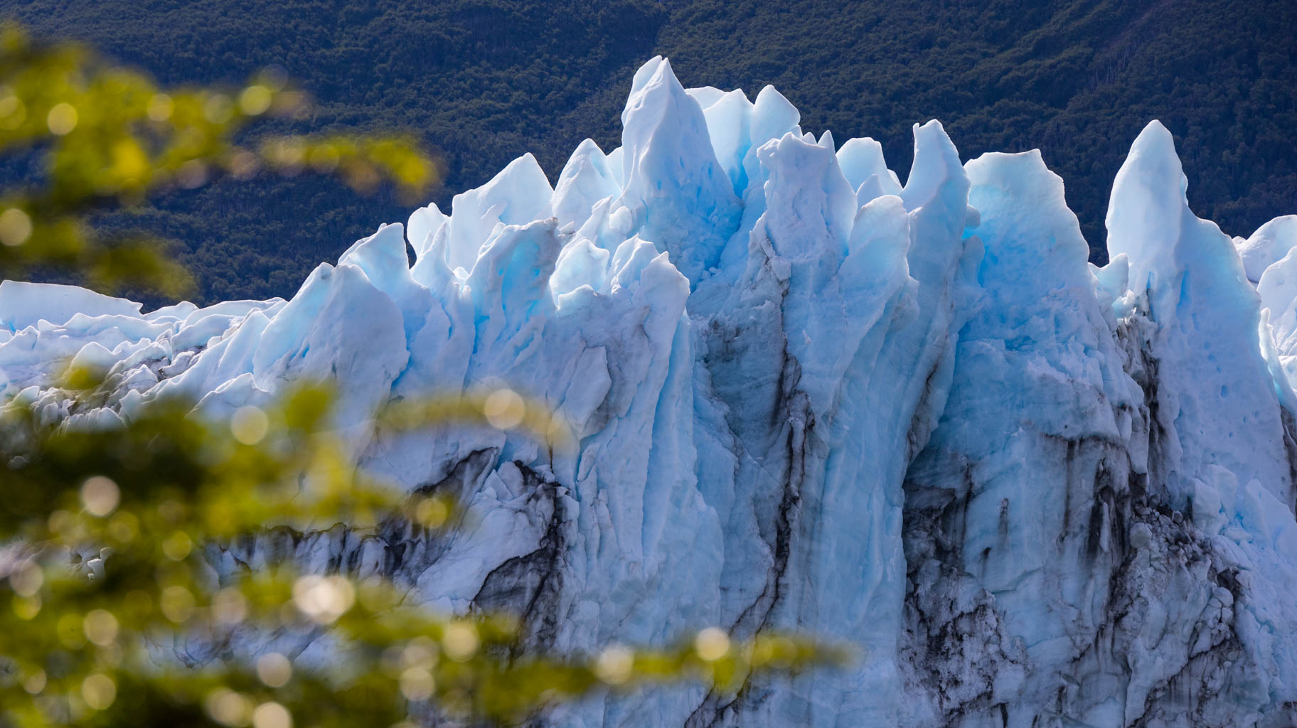
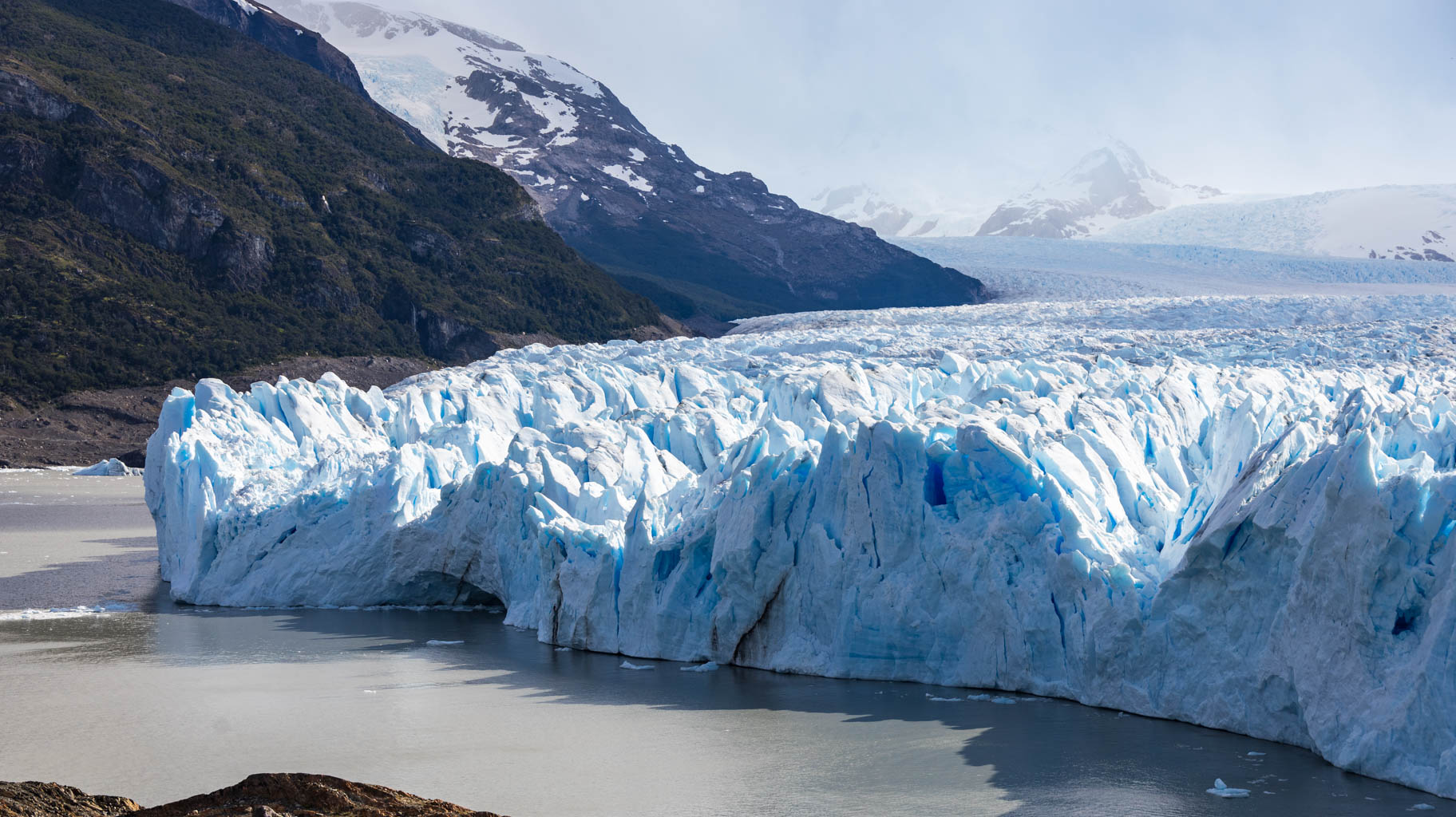
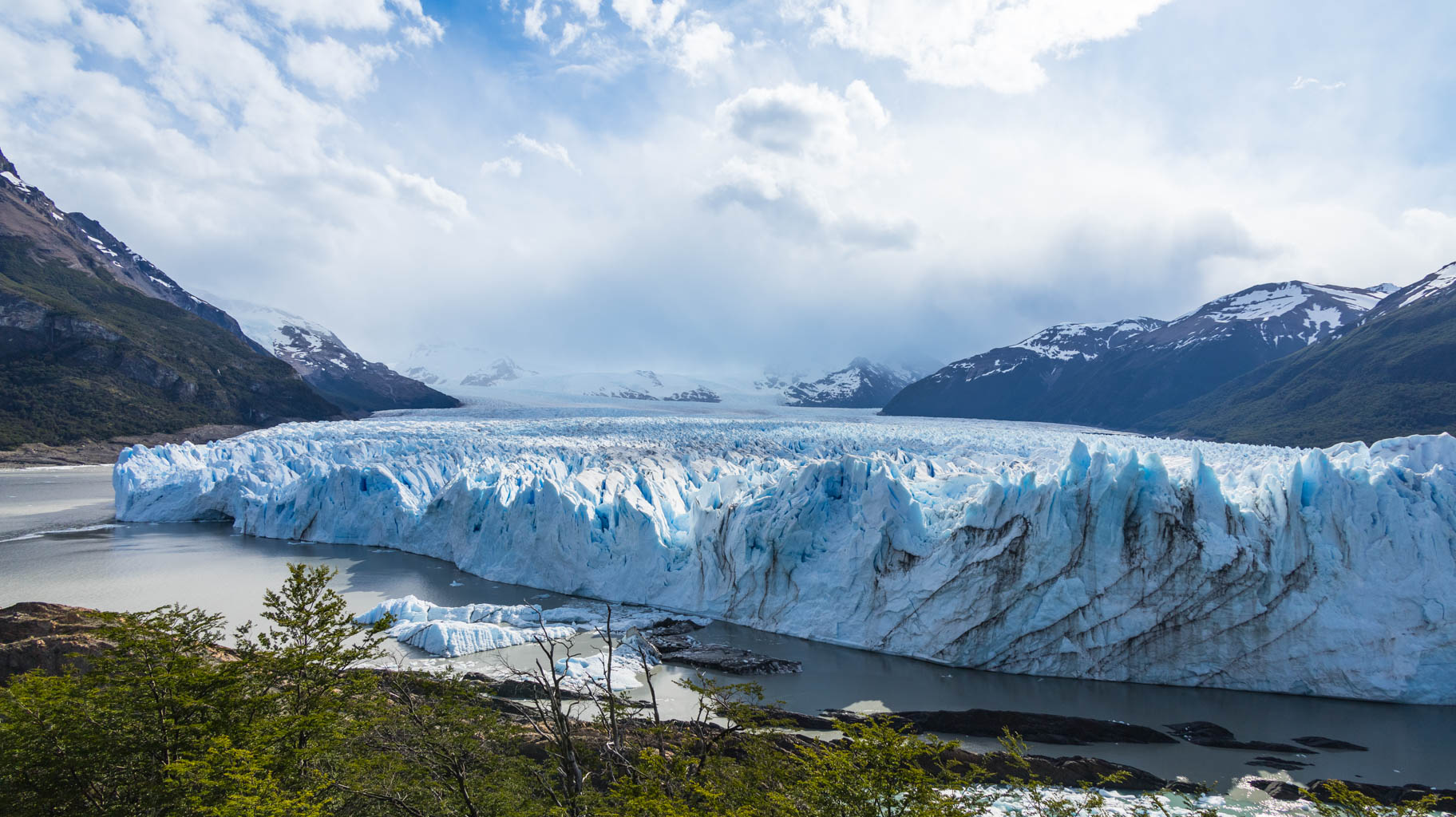
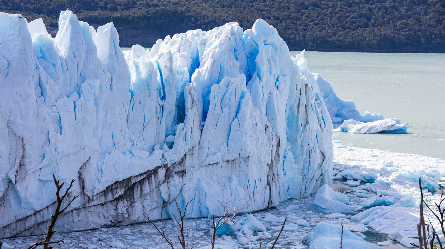
Mirador Perito Moreno, the viewpoint for the Perito Moreno Glacier, is definitely one of the highlights of the trip. The view of this massive glacier, which in some places reaches 70 meters in height, especially on a sunny day, is something you can't miss. The glacier, sometimes white, sometimes gray, and sometimes blue, frequently calves, and the falling ice creates quite a noise.
The viewpoint consists of several terraces facing different parts of the glacier.
After 6:00 p.m., when the viewpoint closes, we head back to the city for dinner.
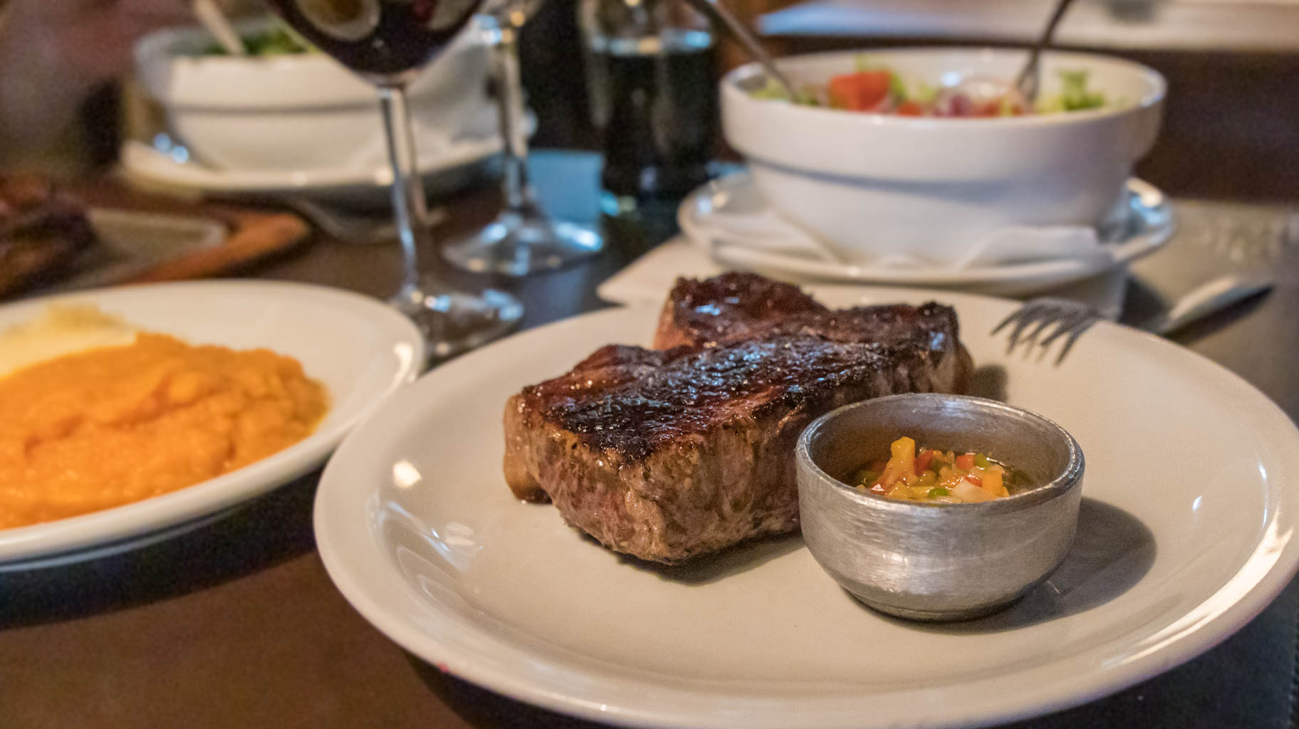
For fans of argentinian steaks, supposedly the best in the world, I can definitely recommend the very popular La Tablita restaurant in El Calafate. The steak prices are reasonable.
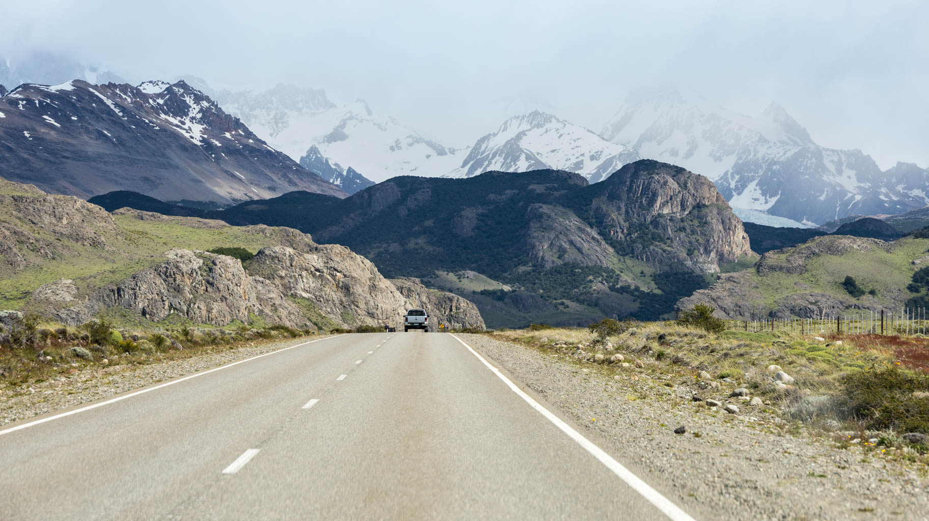
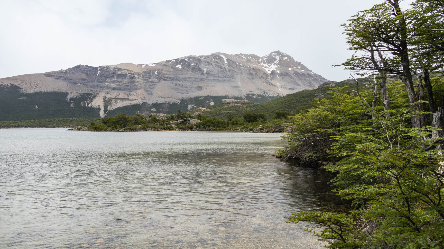
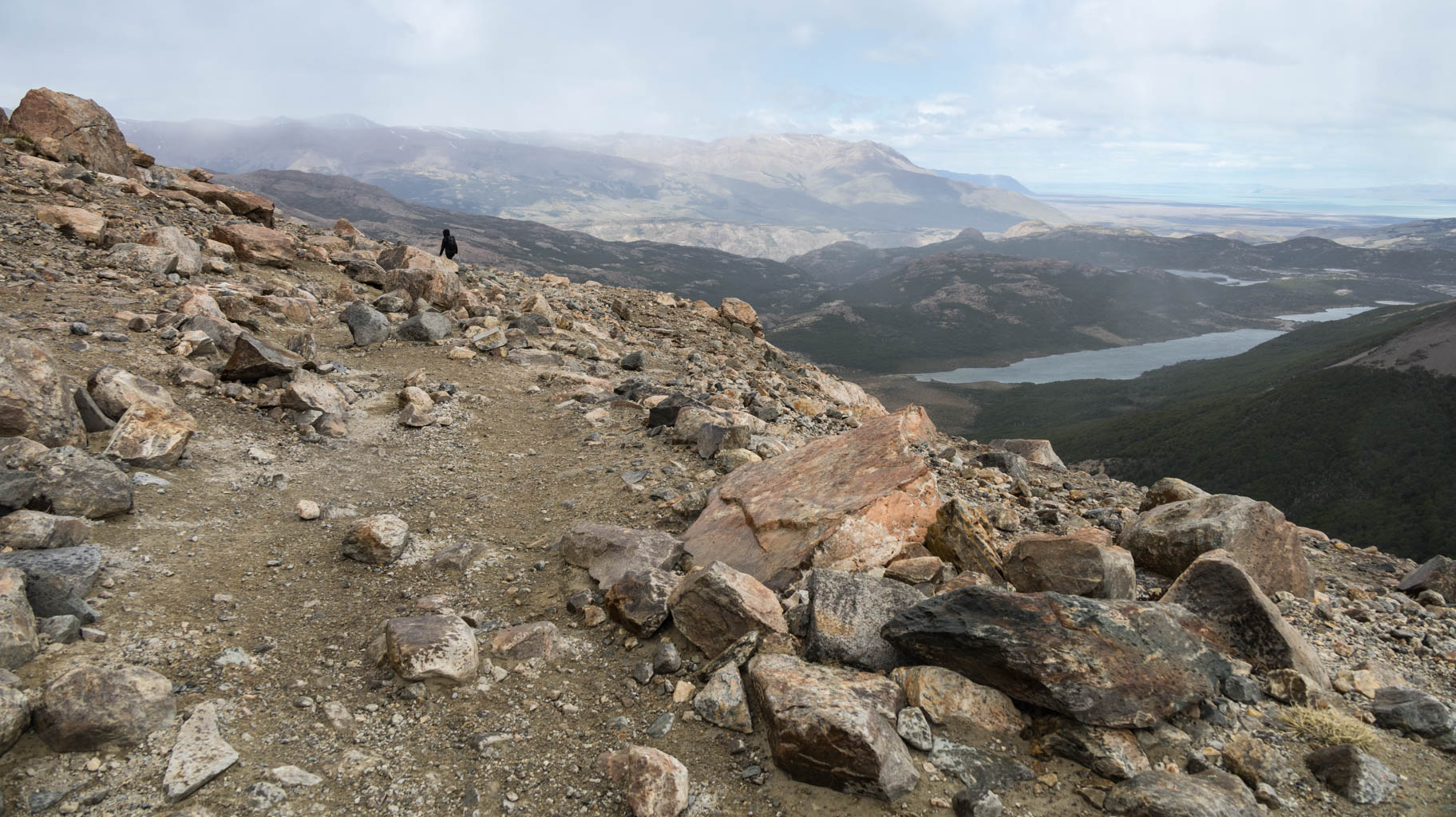
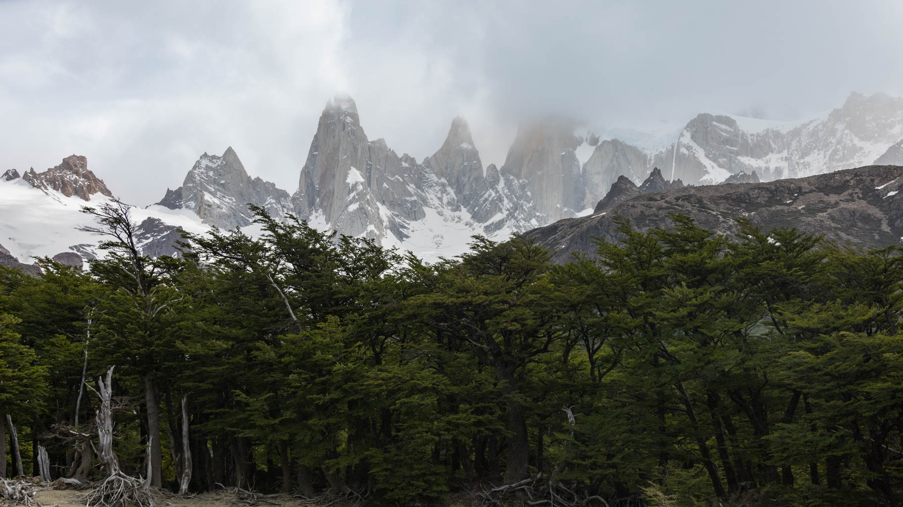
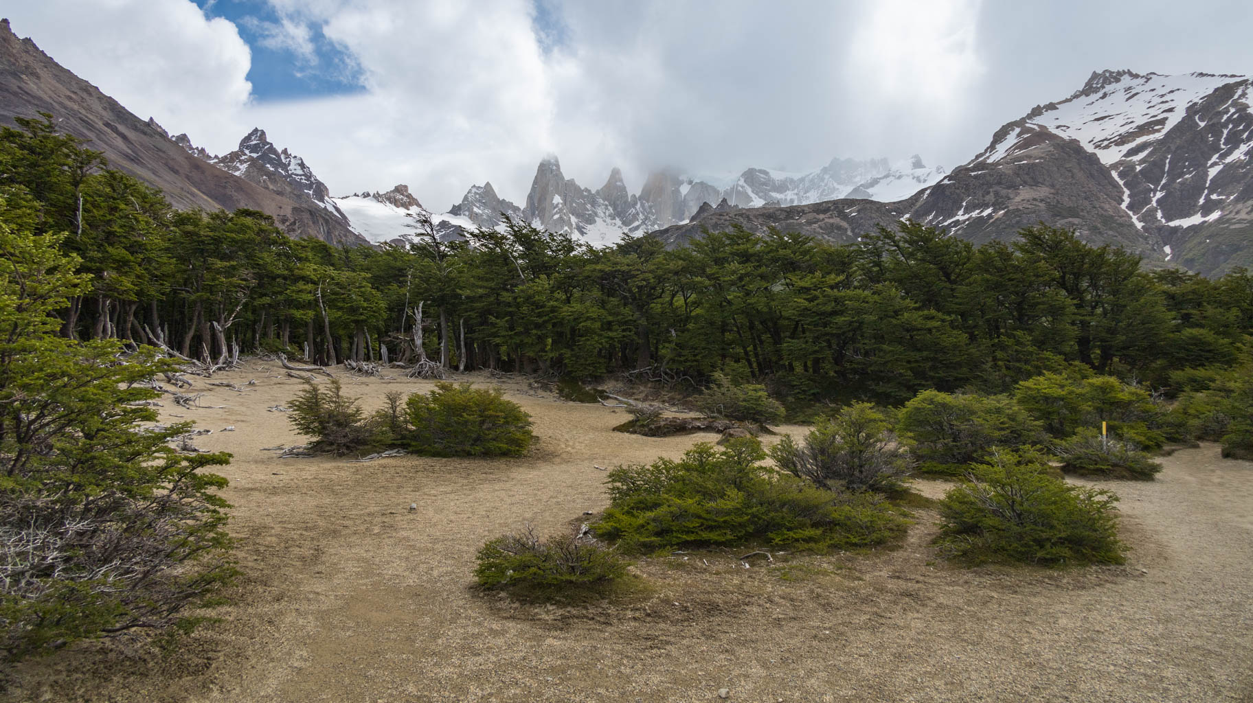
We set off early in the morning for a ten-hour trek to Laguna de Los Tres in El Chaltén.
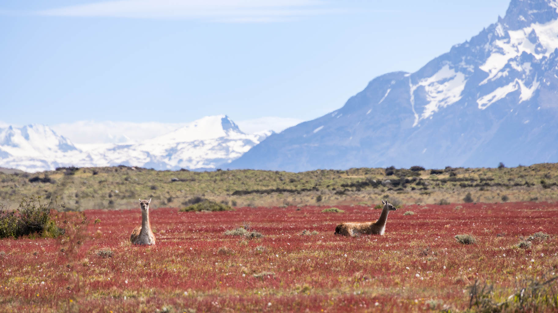
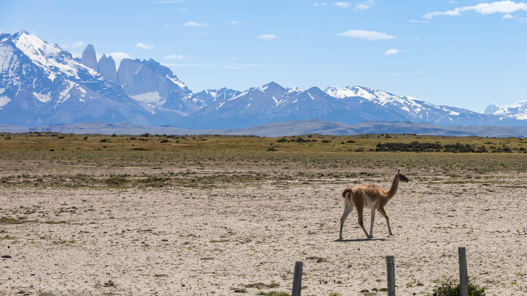
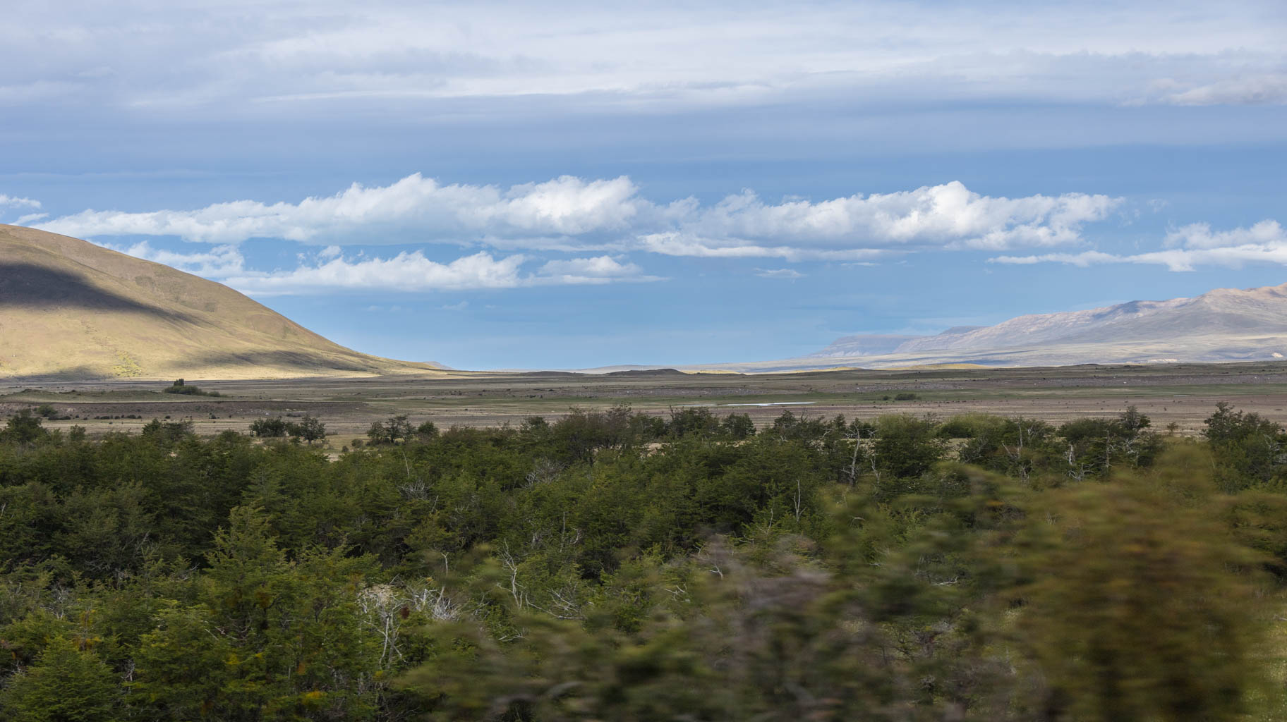
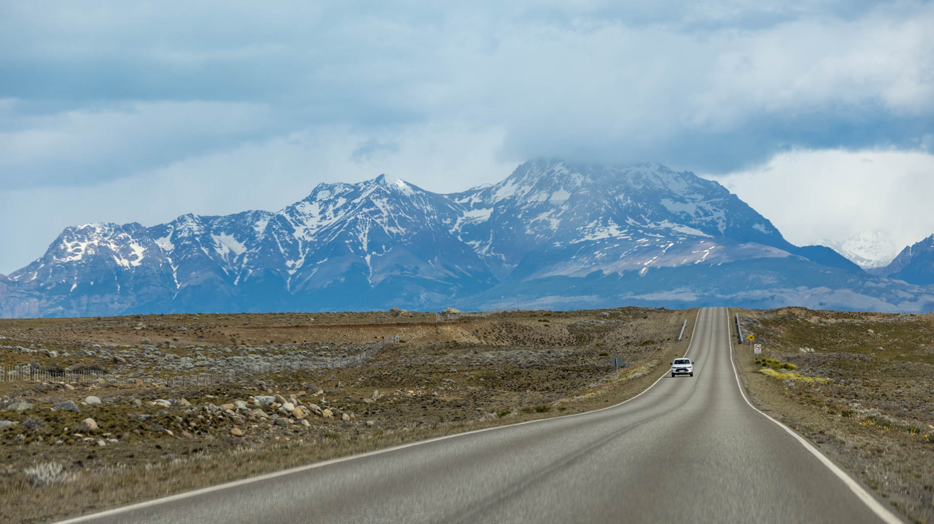
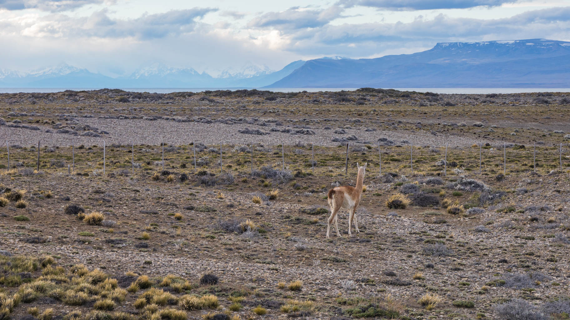
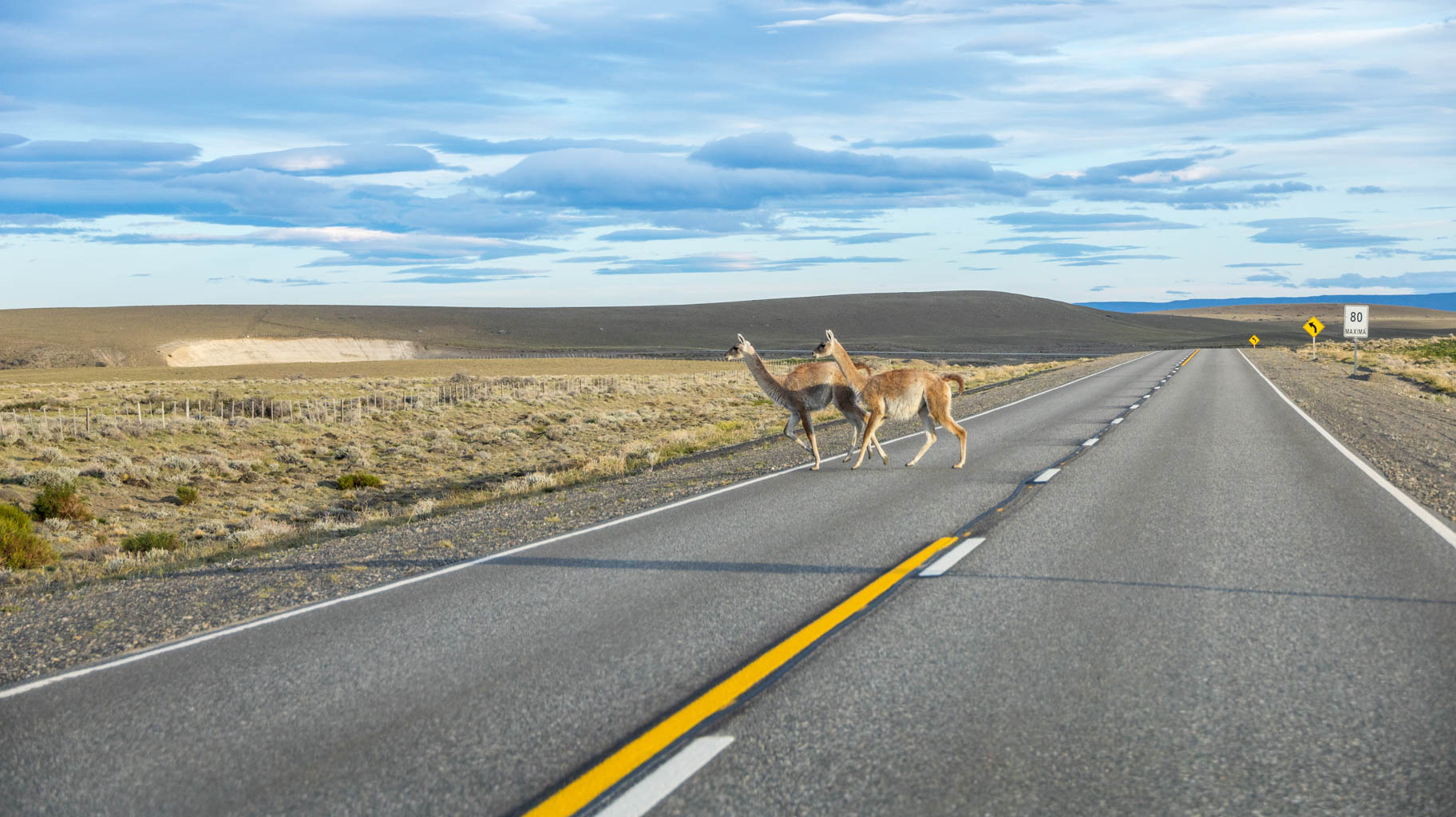
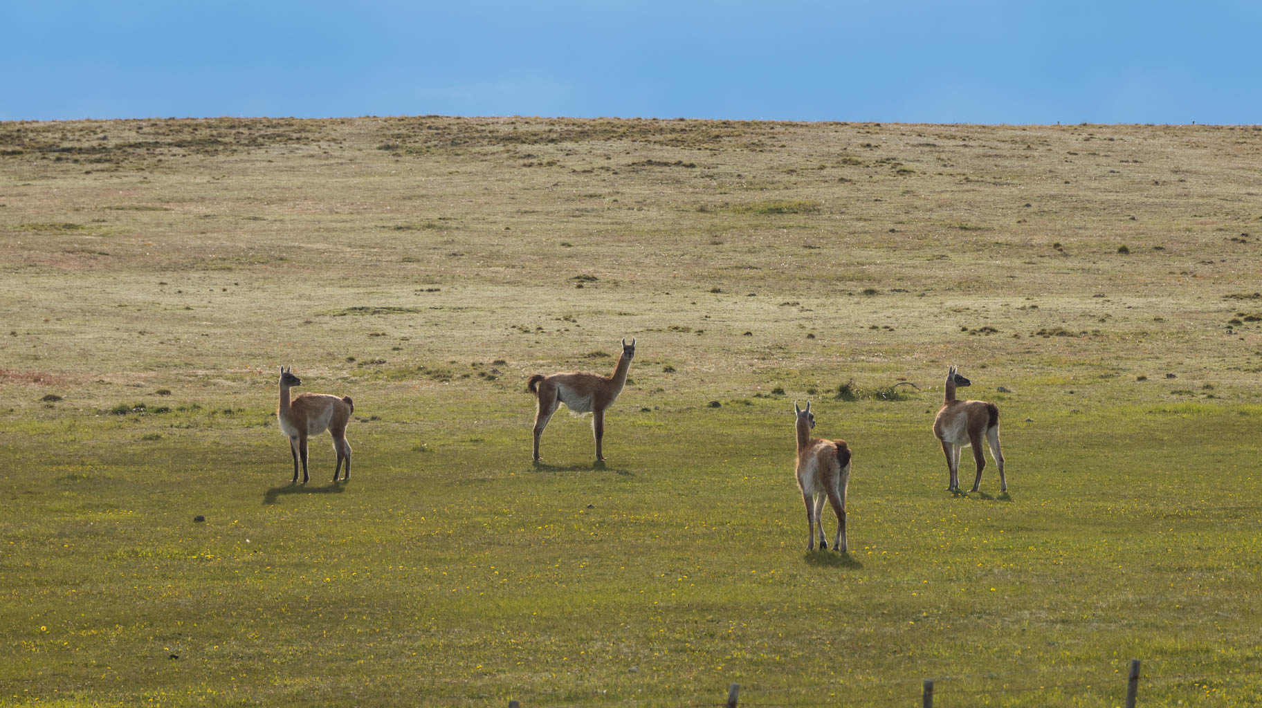
Instead of the expected 3.5 hours, it takes us less than two, probably thanks to a new road that Google Maps doesn't seem to have yet. Our driver also helps us save quite a bit of time with his dynamic driving. The main risk in these wilderness areas, however, are llamas stepping onto the road. We pass one of them, probably hit by a car, on the side of the road about halfway through. It's worth being cautious and not speeding.
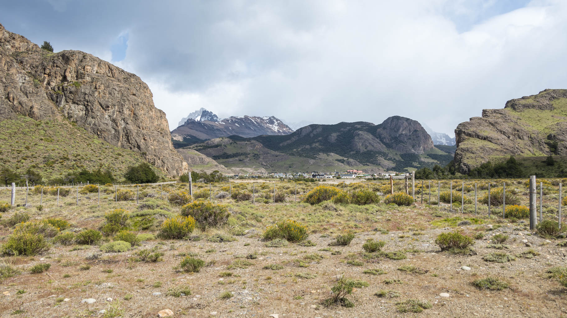
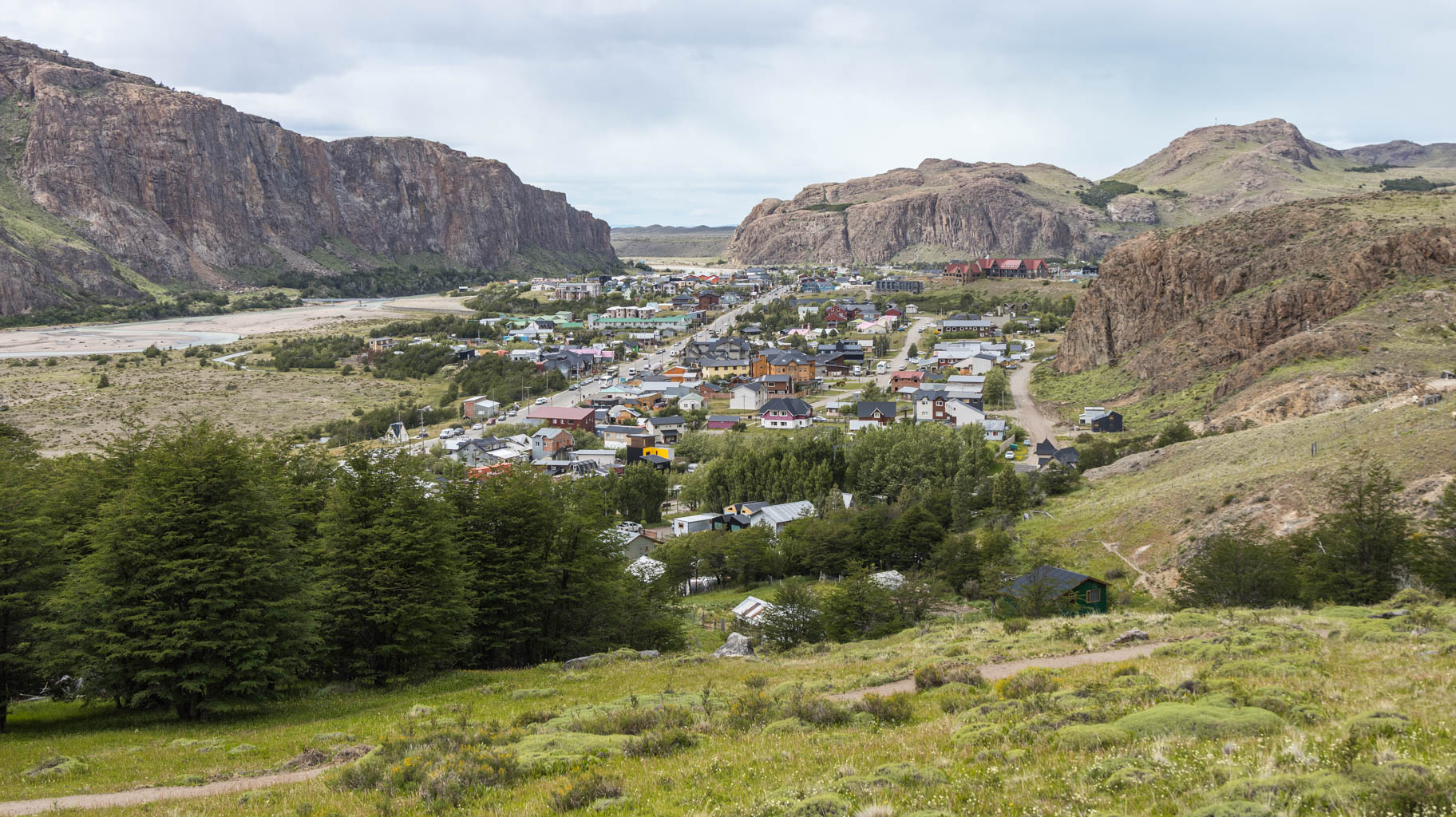
We arrive at the car park in El Chaltén, where our trek begins, around noon.
The trail initially goes uphill on a rather narrow path. Unfortunately, around fifty Japanese tourists block our way, but eventually, we manage to push through the crowd.
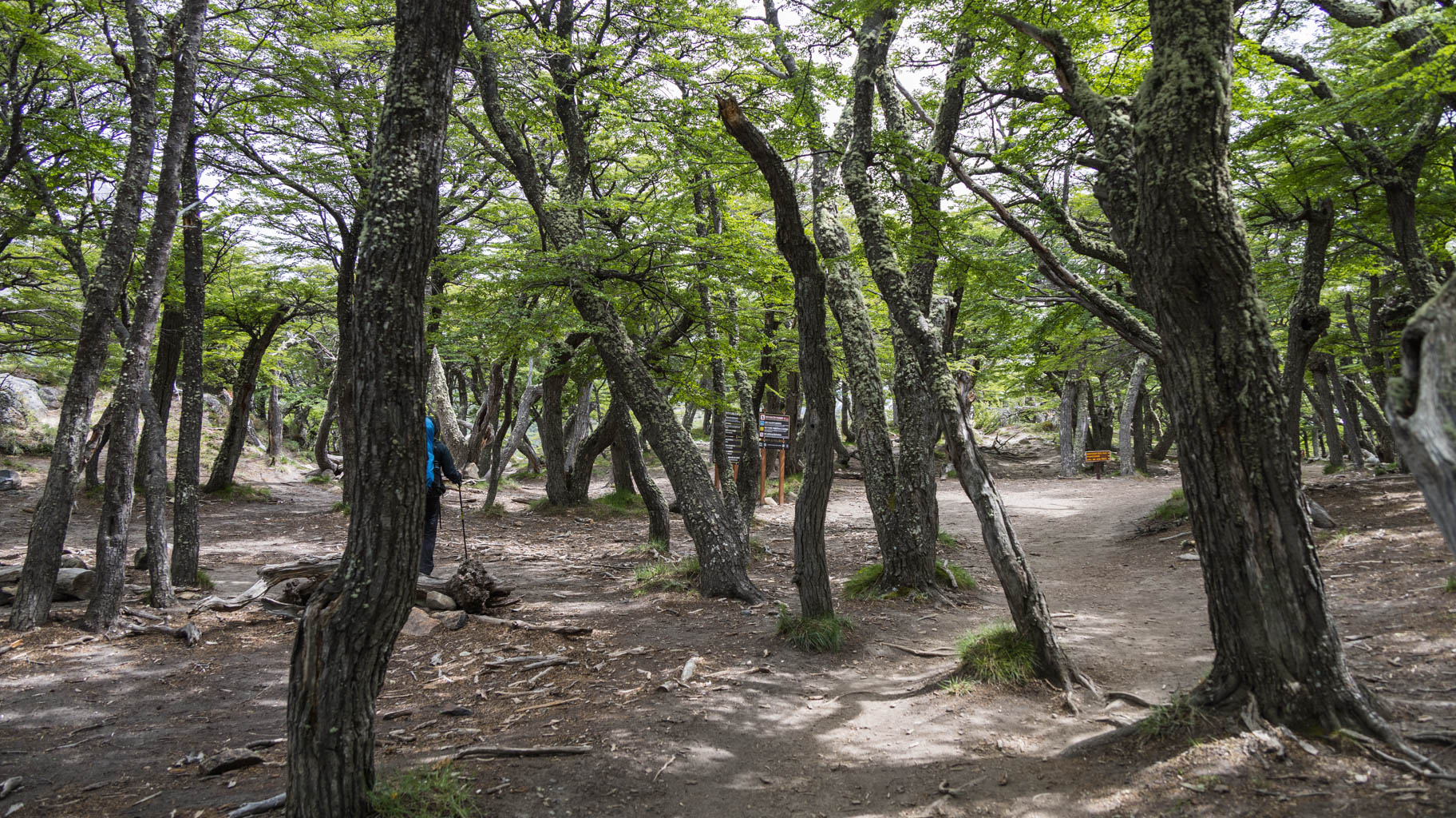
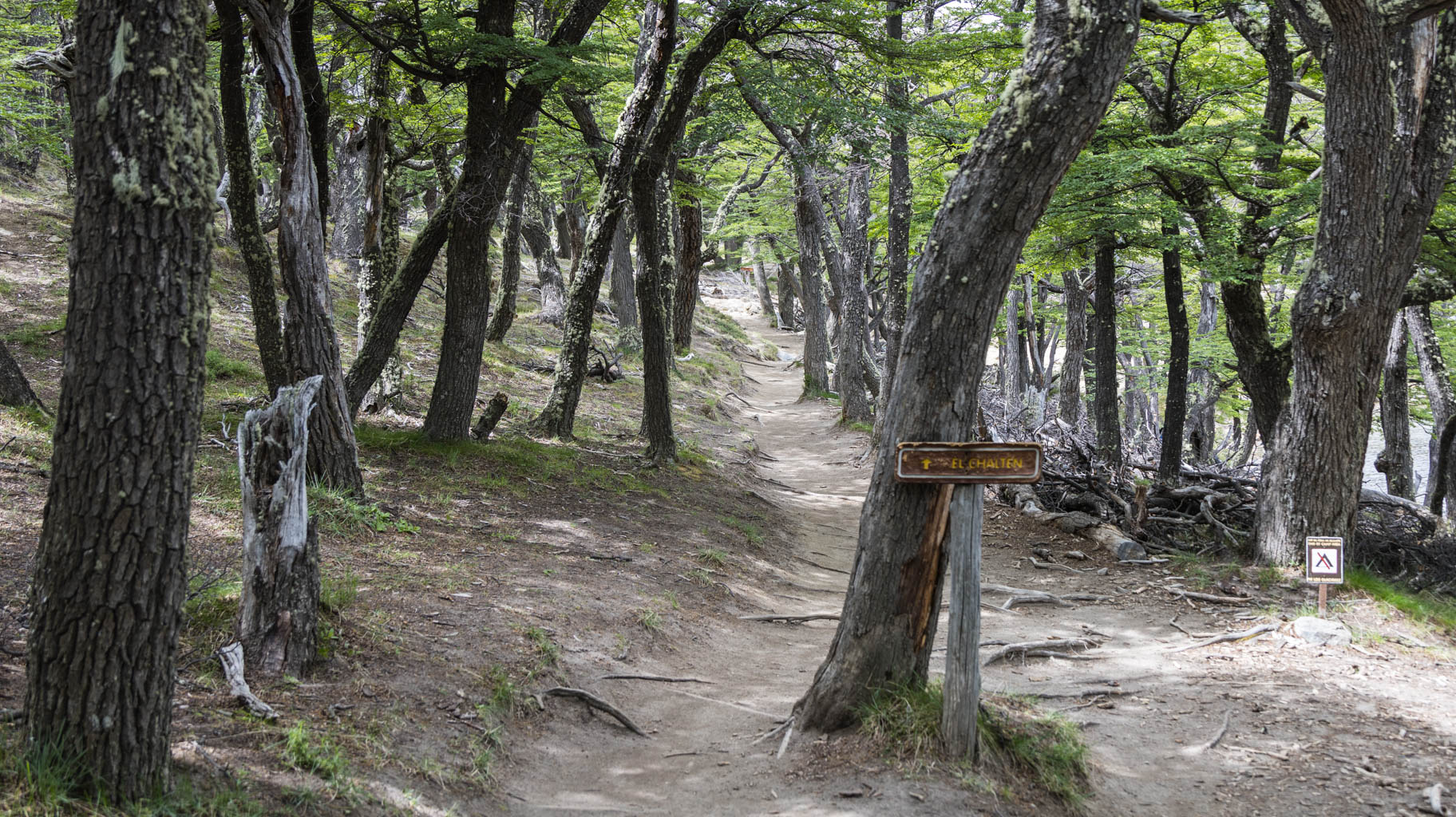
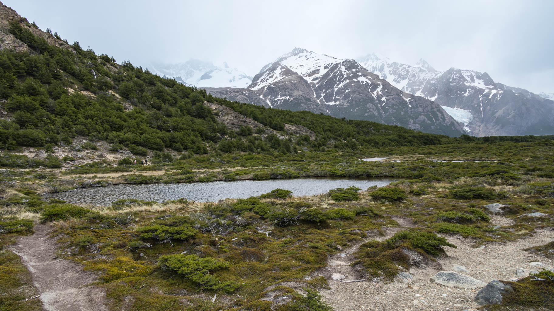
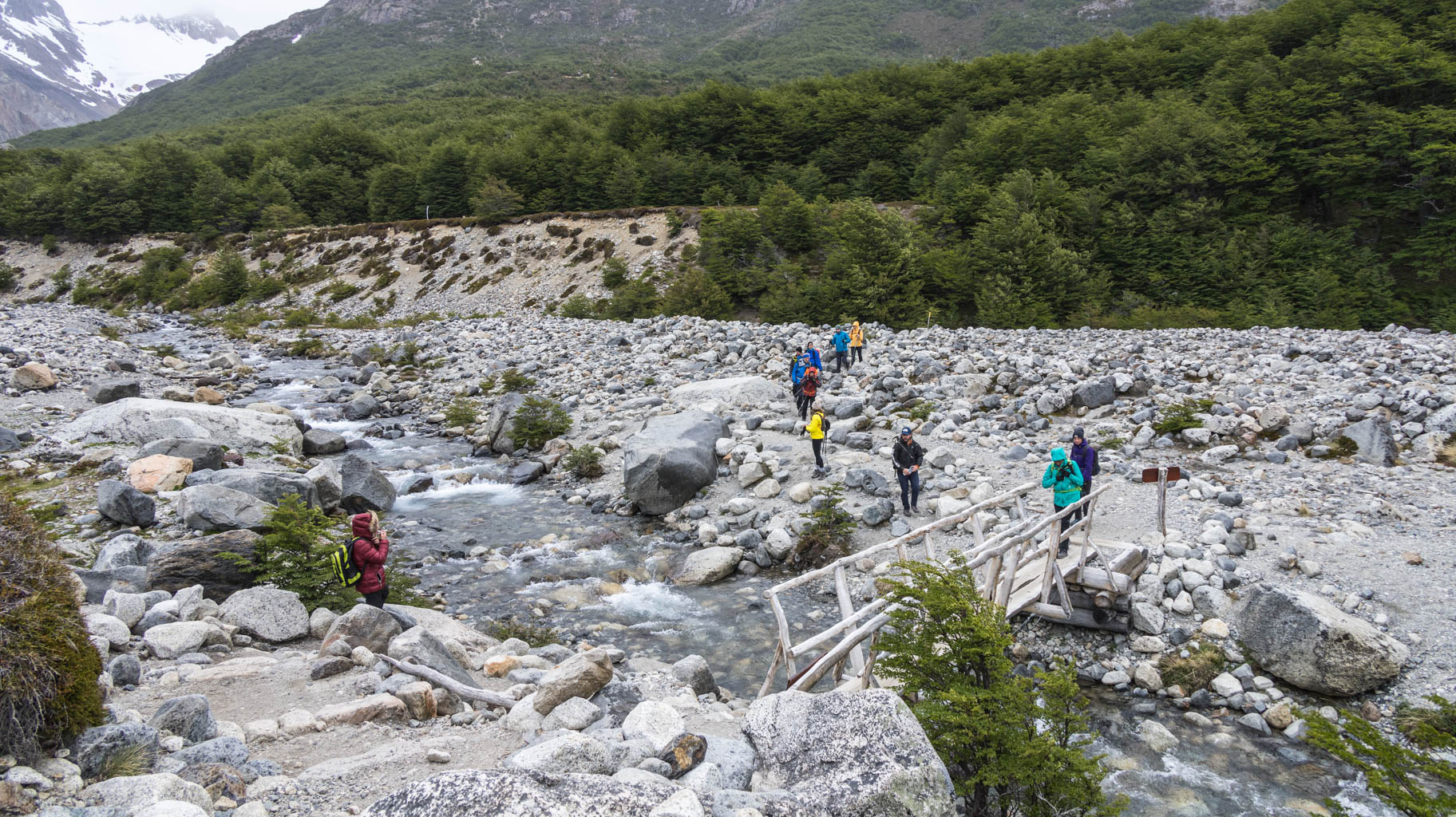
The first three kilometers are mainly a slight uphill, followed by six kilometers on flat terrain, and in the last part, about two kilometers uphill on a steep slope and over rocks.
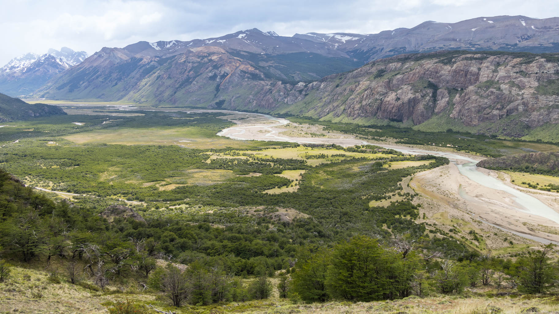
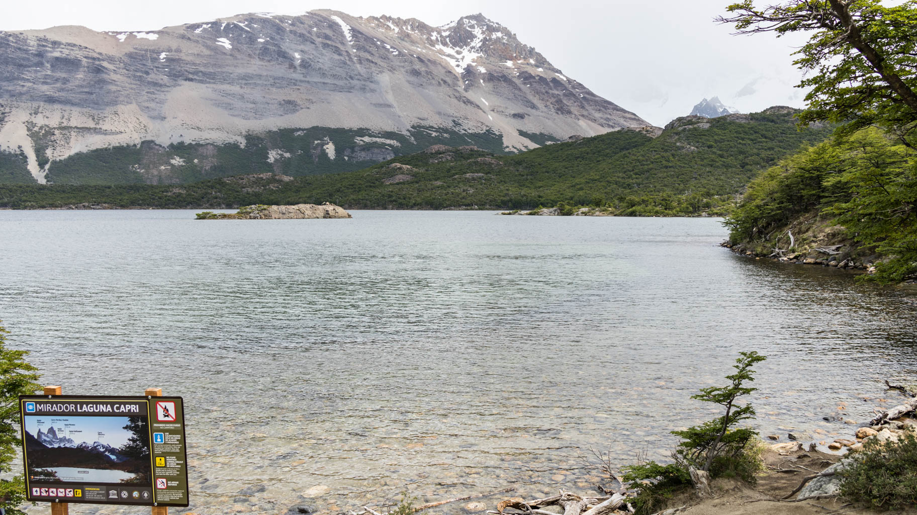
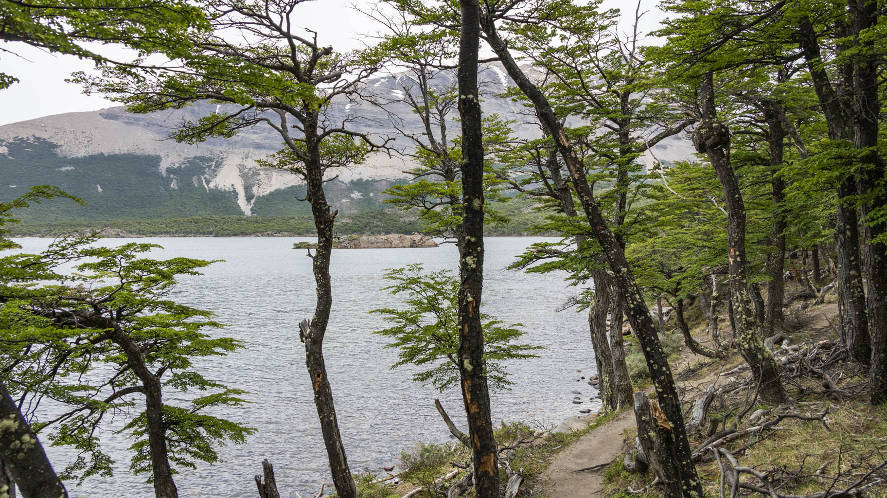
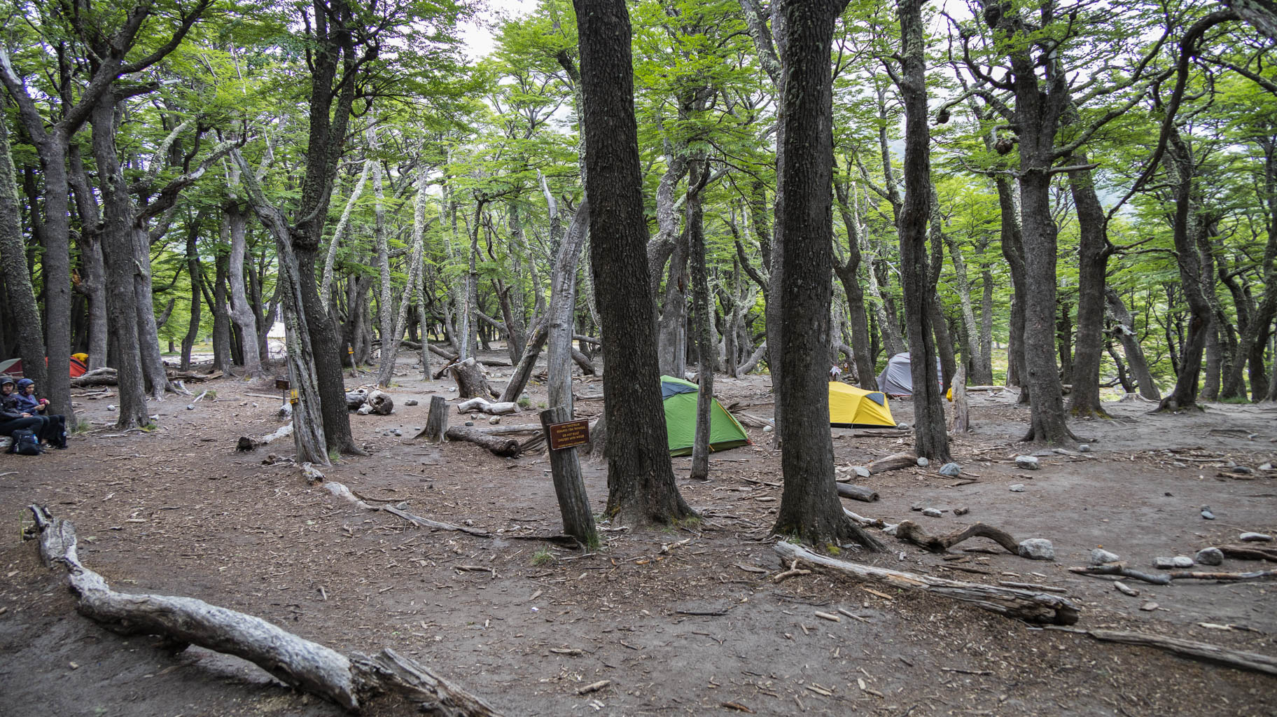
Once we reach a flatter area, we pass what looks like a wild campsite near Laguna Capri, and a few kilometers later, another wild campsite, Poincenot.
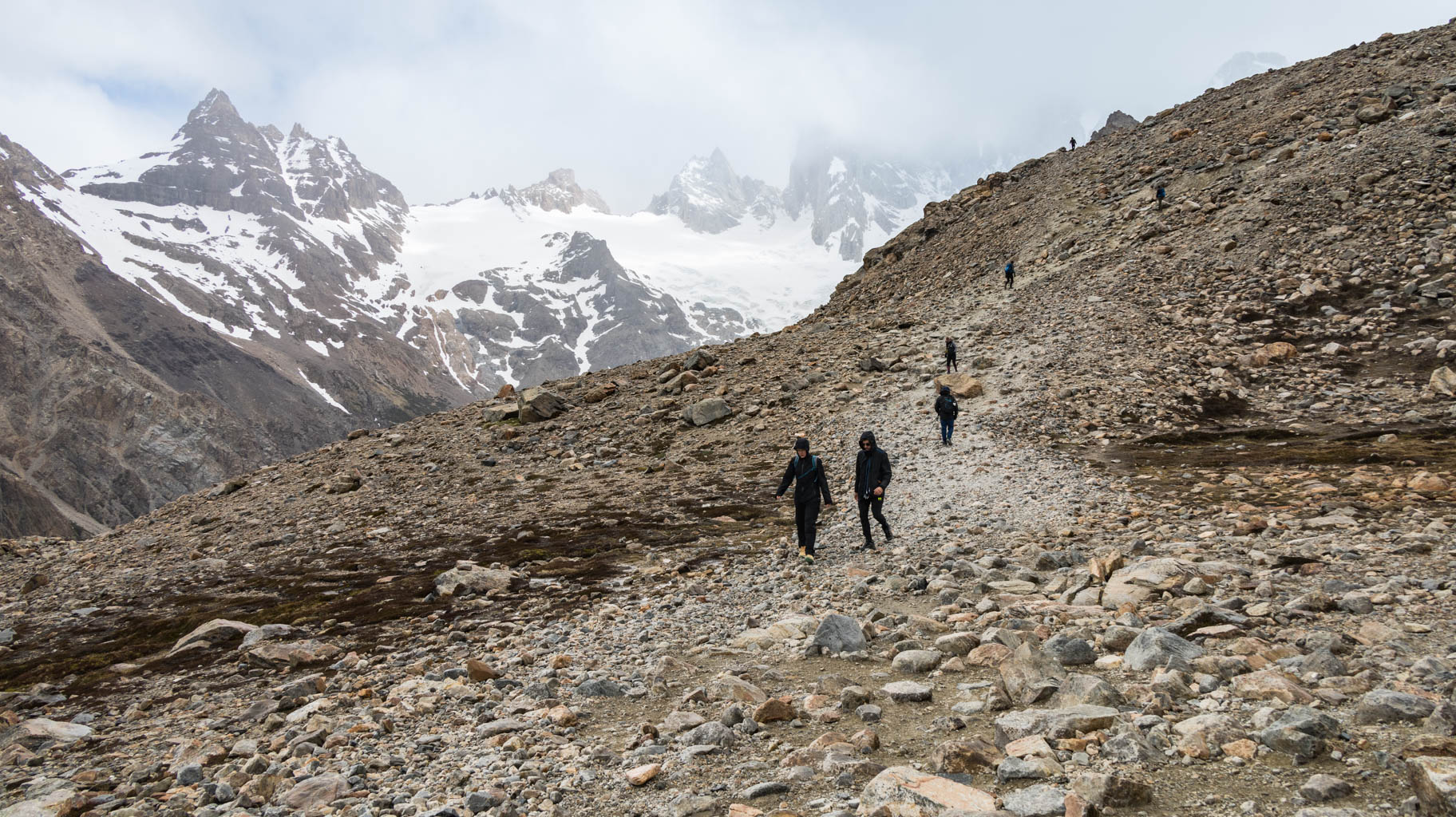
A little further on, the nighttime ascent begins, with a steep path over boulders toward our destination.
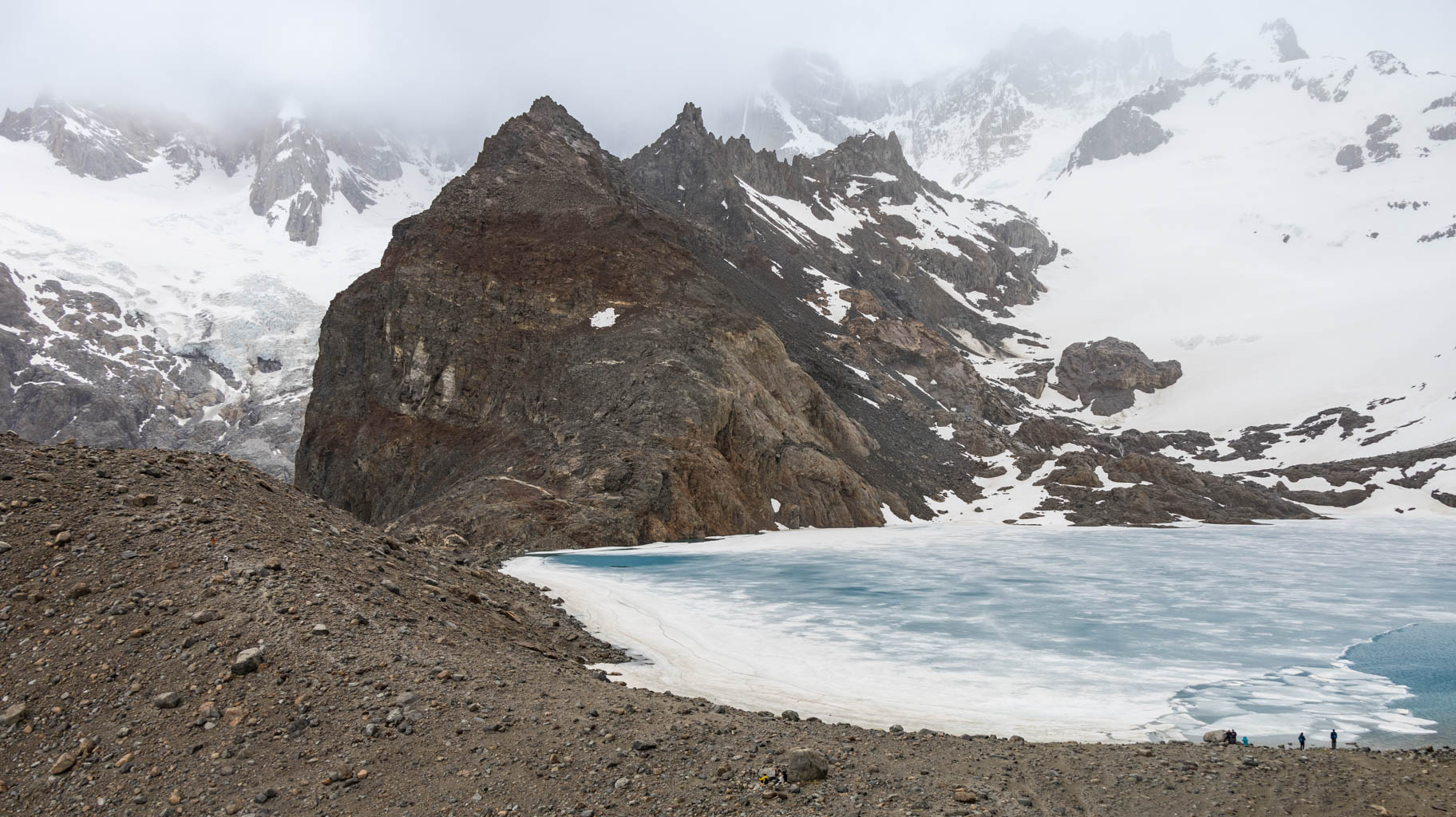
The higher we go, the worse the weather becomes. It rains more, and the wind is almost unbearable. The temperature also drops dramatically, reaching near-zero degrees.
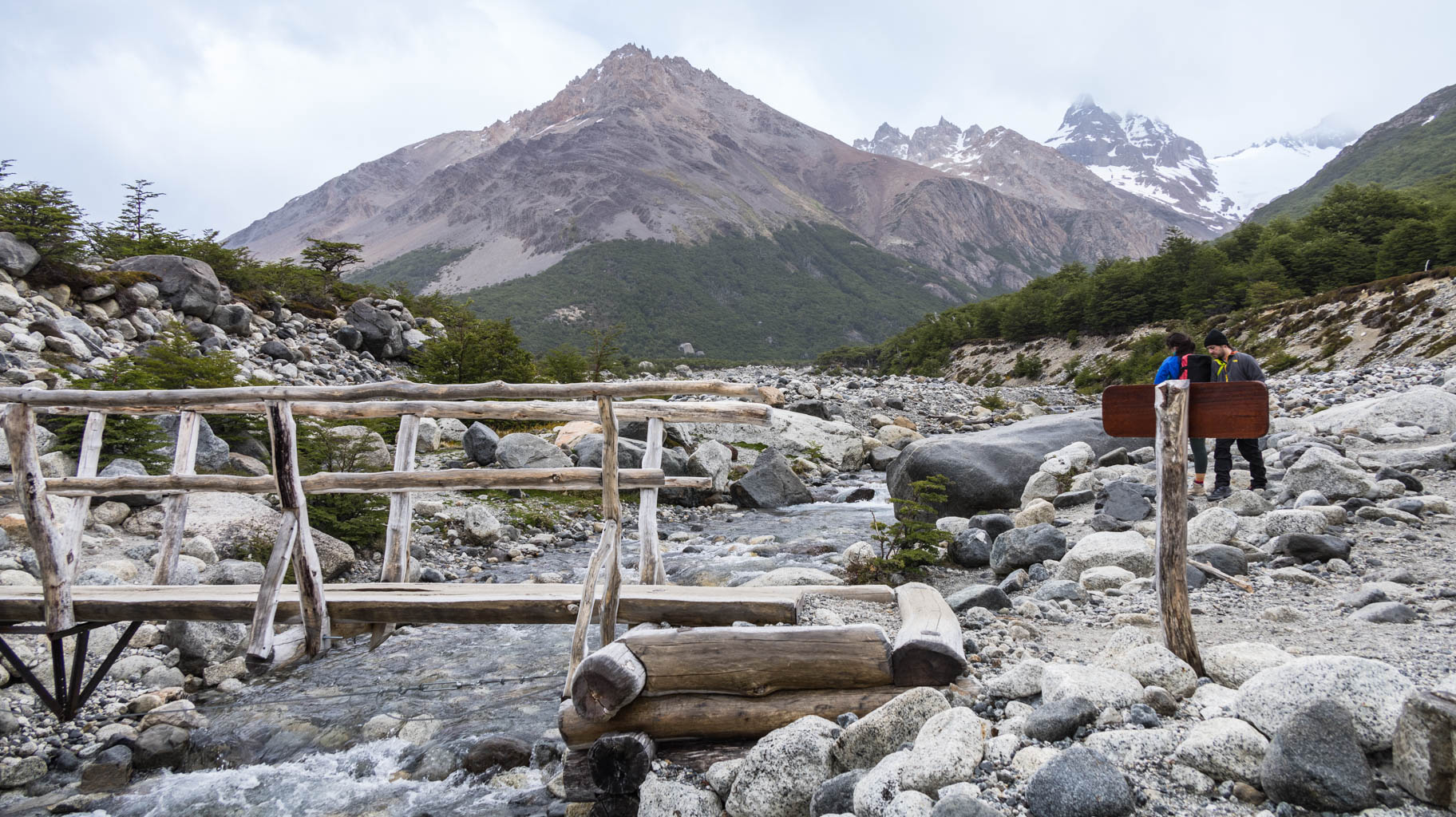
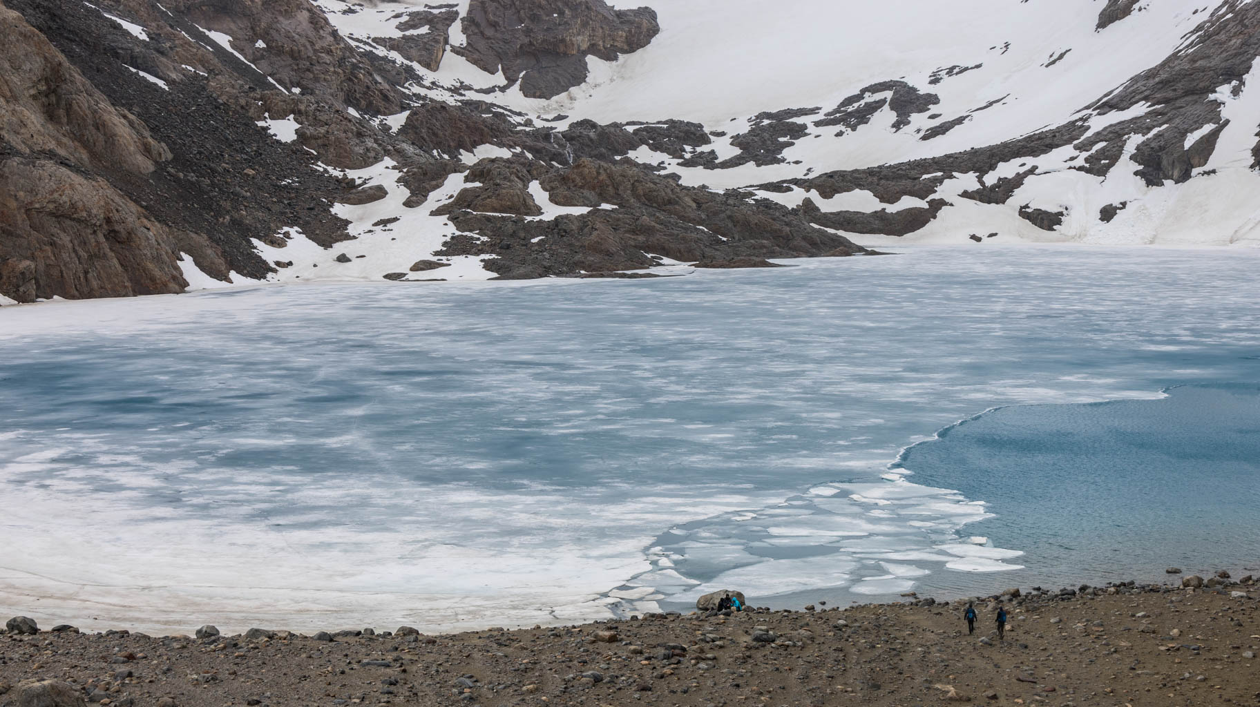
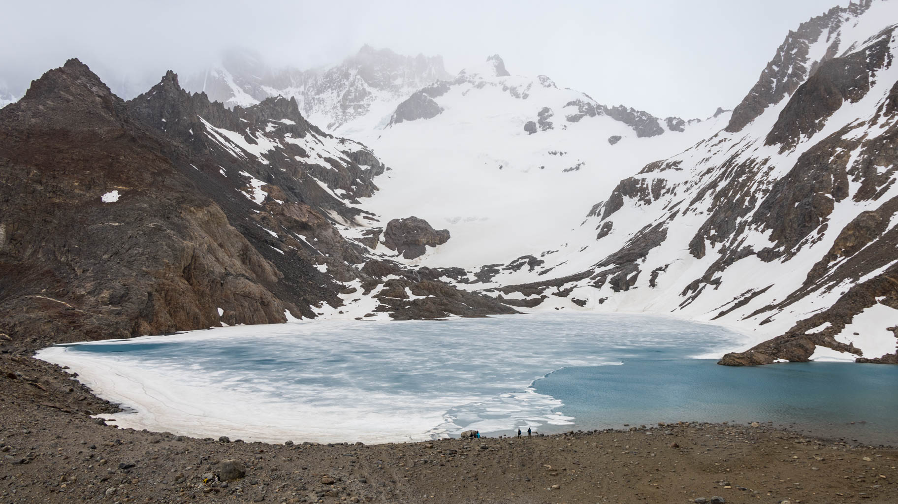
We reach the Laguna de Los Tres viewpoint a few minutes after 3:00 p.m., meaning we completed the hike in 3.5 hours, about an hour and a half faster than the signs and maps suggested.
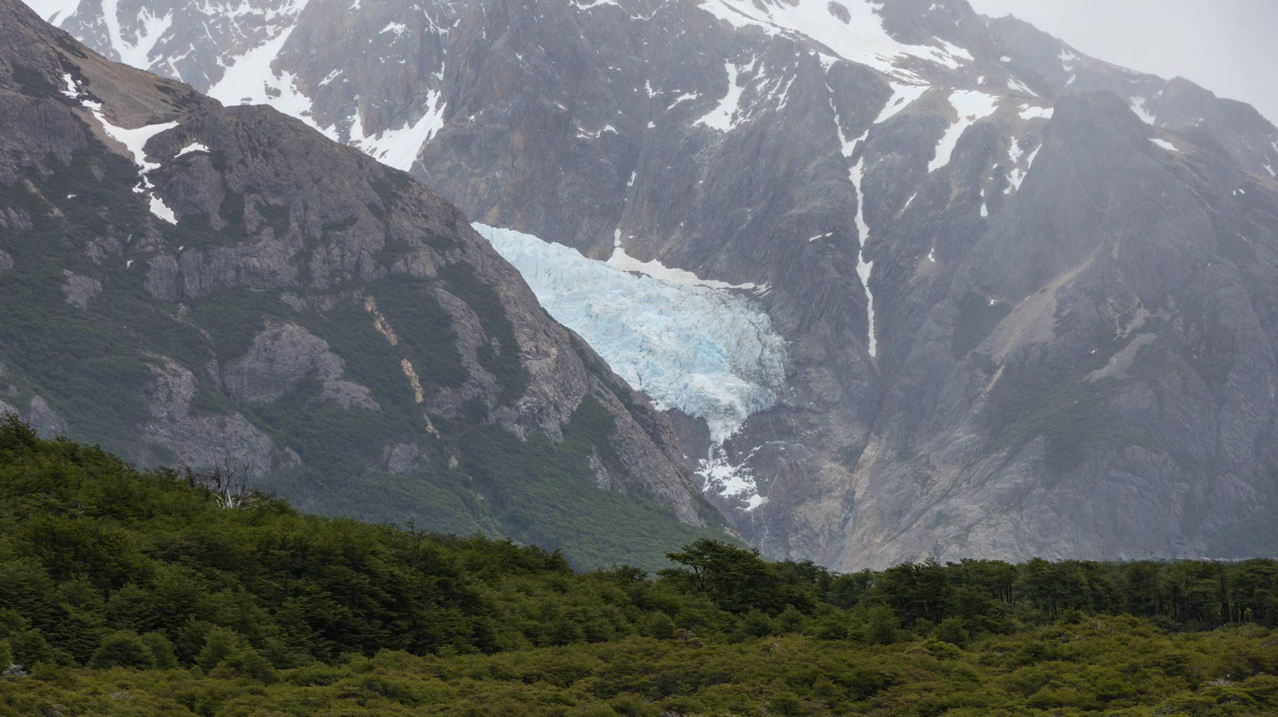
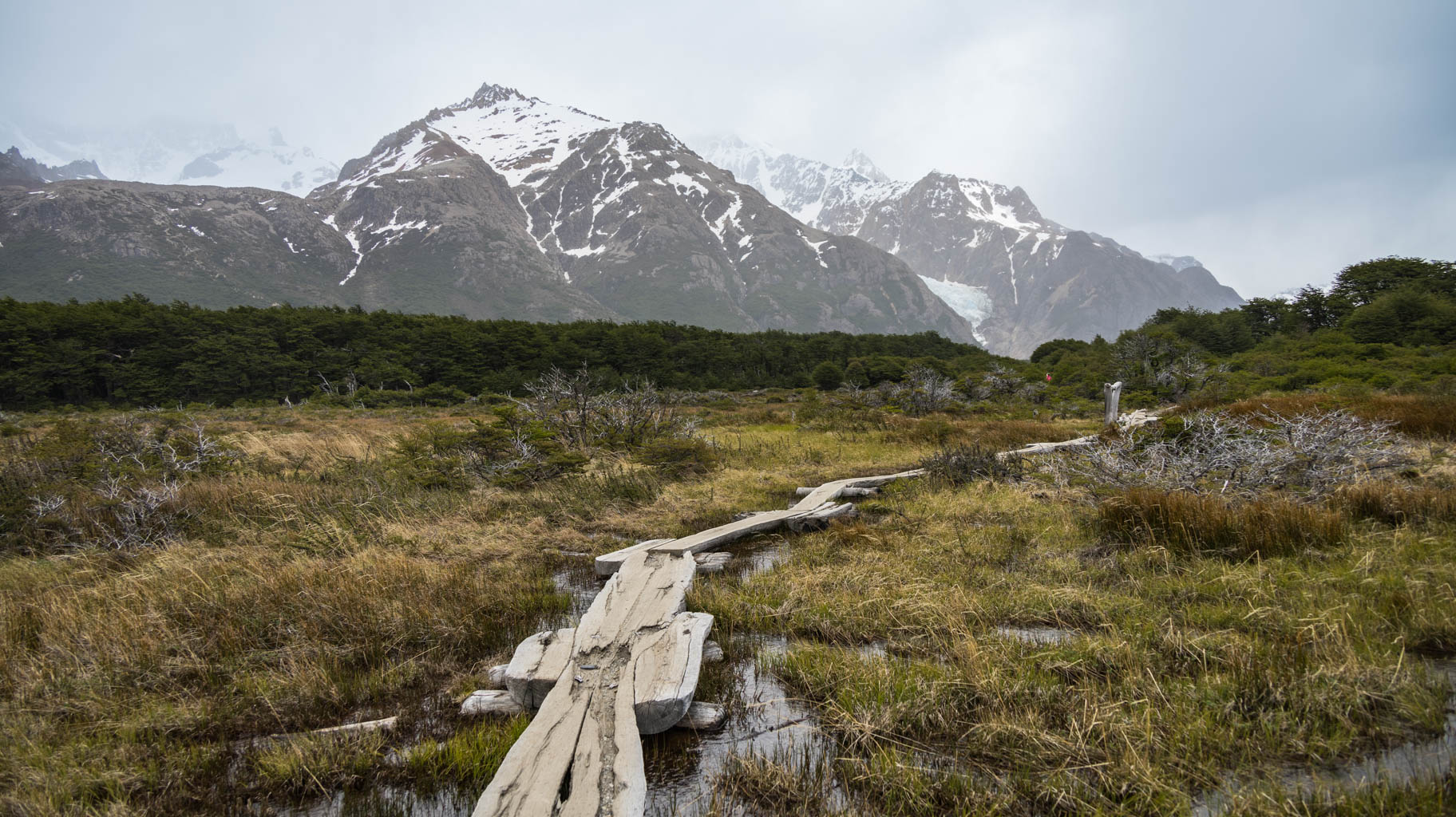
From the top, we can see the snow-covered peaks, including the outline of Mount Fitz Roy (3405 m) and partially frozen lakes. Since we're also at risk of freezing, we don't spend much time here and start descending the same way.
It's worth keeping an eye on the maps, as there are a few places where it’s easy to get lost, which happens to me. After about a kilometer and a half, I realize I made a wrong turn at a fork.
Finally, after 6.5 hours and covering 24 km, I arrive at the car park.
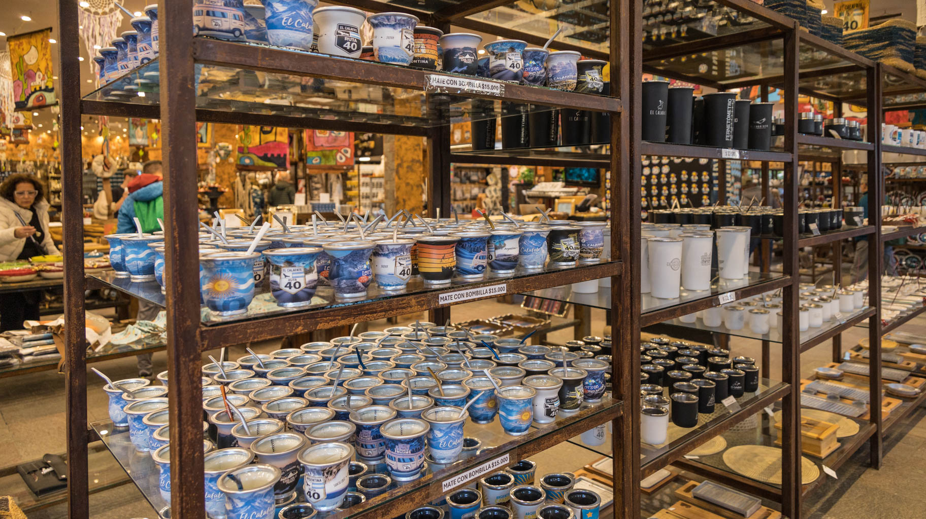
In the morning, we pick up our laundry and go to buy a few souvenirs from El Calafate, including a gourd and bombilla for yerba mate, the most popular drink in Argentina, magnets from the Perito Moreno Glacier, and postcards.
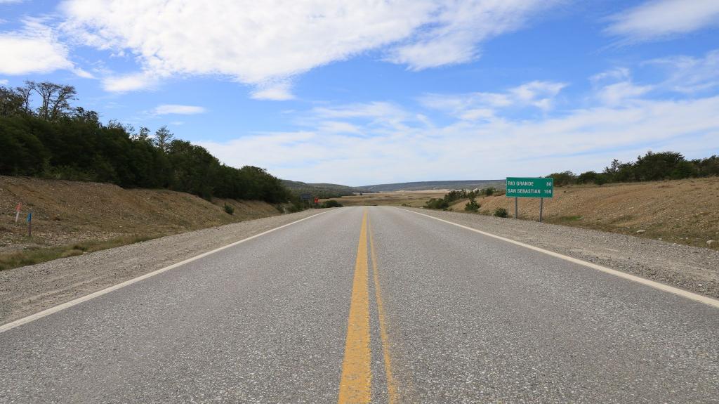
Now, we face an eight-hour car journey to Rio Grande in Tierra del Fuego.
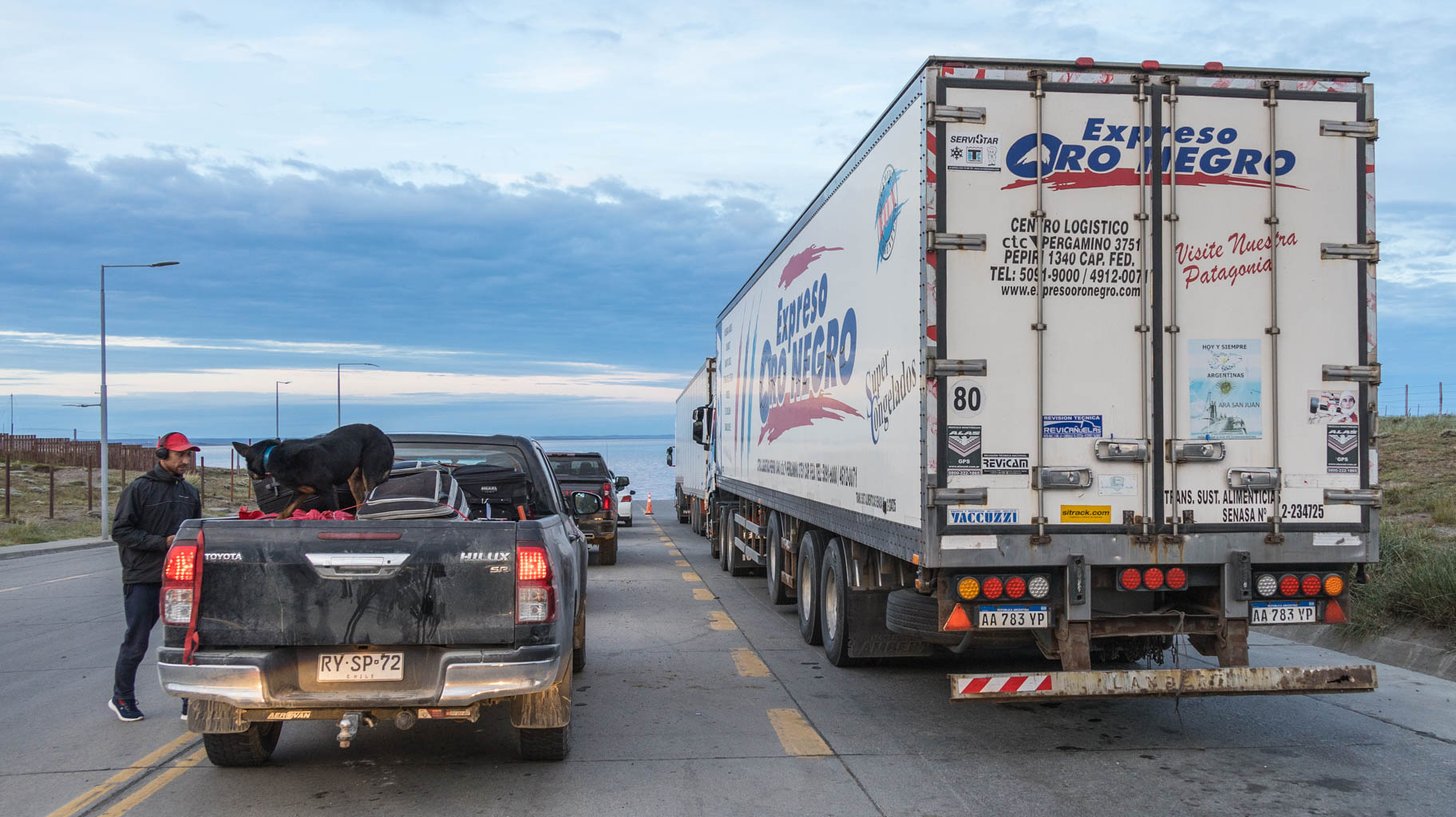
To get there, we need to cross the border twice—first from Argentina to Chile, and then, after a few dozen kilometers, again from Chile to Argentina, as this is the only road to Tierra del Fuego. At the first crossing, we encounter a line that takes over half an hour.
The departure from Chile at the second crossing is possible only until 9:40 p.m., and entry into Argentina, through a post 12 km further, is only allowed until 10:00 p.m.
Additionally, we need to cross by ferry for a few kilometers. The ferry runs every hour until 8:30 p.m., and the last departure is after 10:00 p.m. Passenger transport is free, but the cost of transporting a private car is $20.
During unloading, we witnessed a truck reversing and moving a government vehicle parked behind it by several meters. Fortunately, we were not standing behind it.
We arrive in Rio Grande around 10:00 p.m.
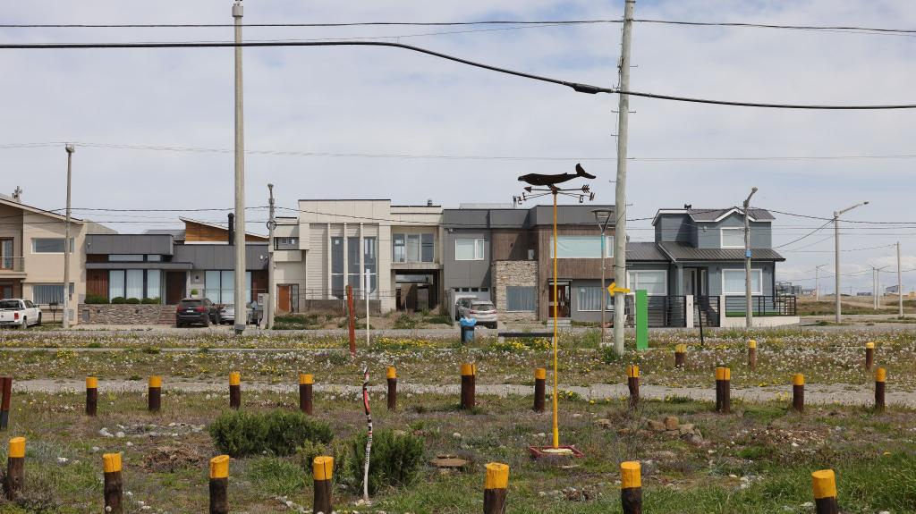
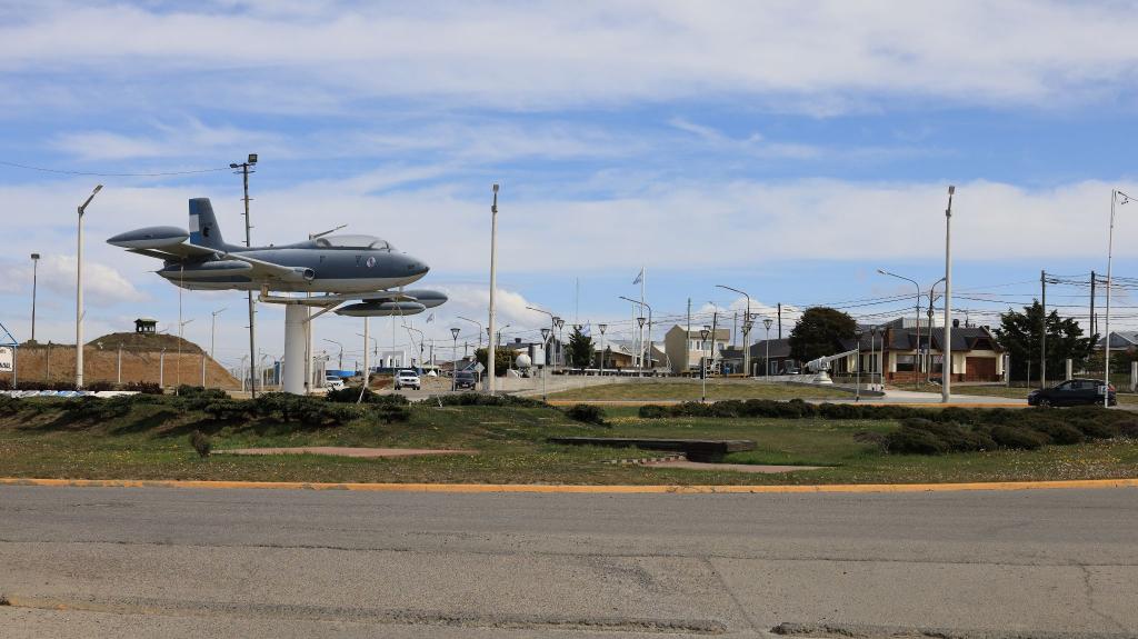
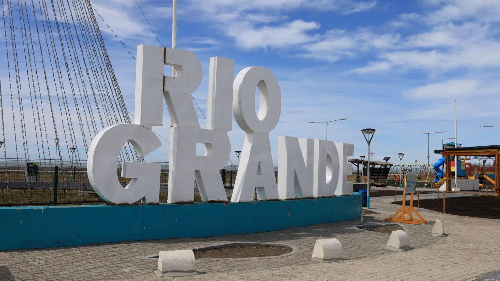
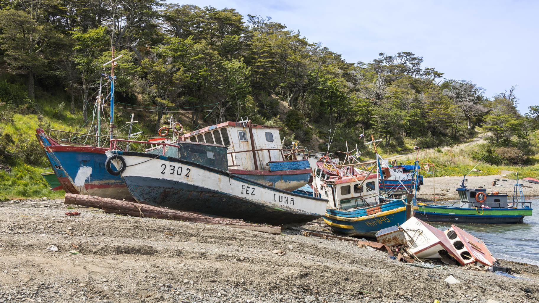
We leave the apartment around noon and go to explore Rio Grande. This city is very different from the touristy El Calafate or Puerto Natales. There are hardly any tourists here, and there aren't many souvenir shops; instead, the infrastructure for the local residents is more developed.
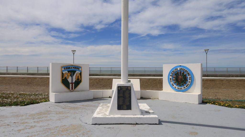
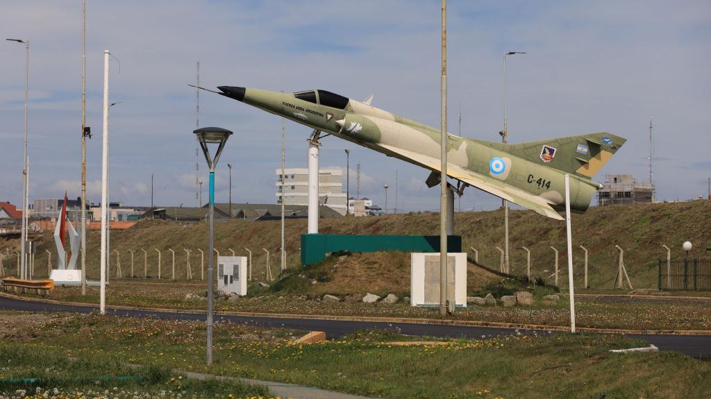
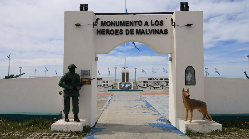
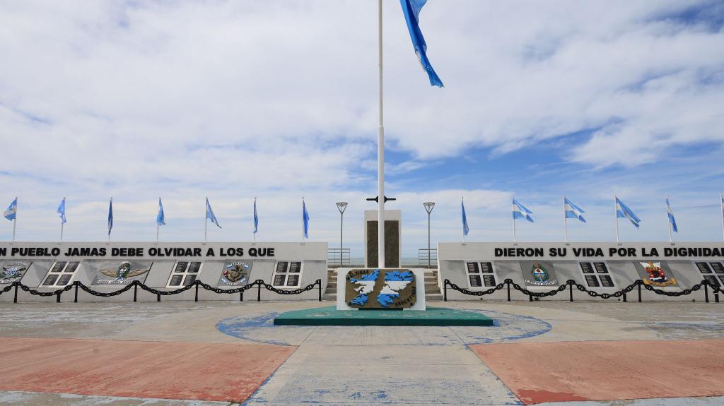
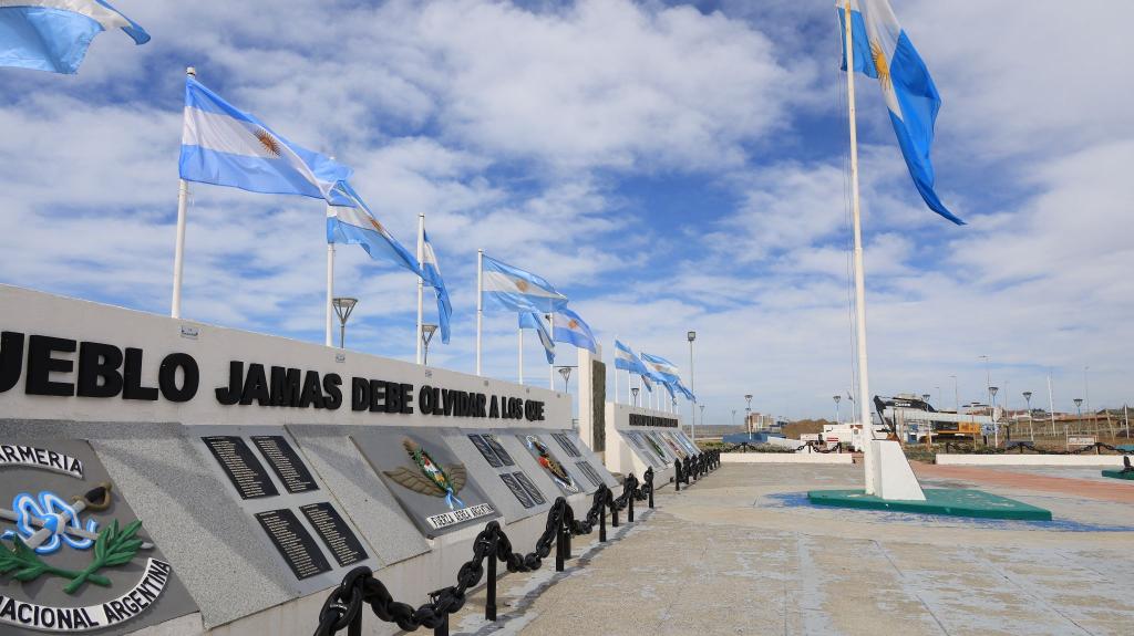
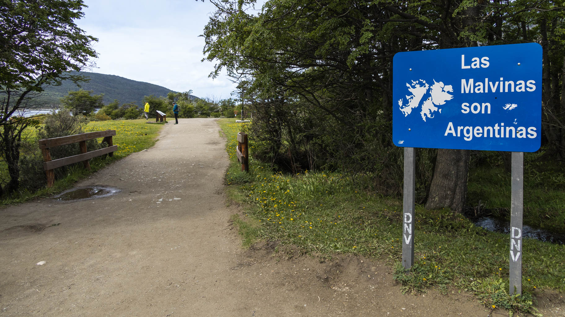
The main attractions include the Amirante Brown square in the city center, and further along the coast, several monuments to Argentina's heroes in the Falklands War (also known as the Malvinas).
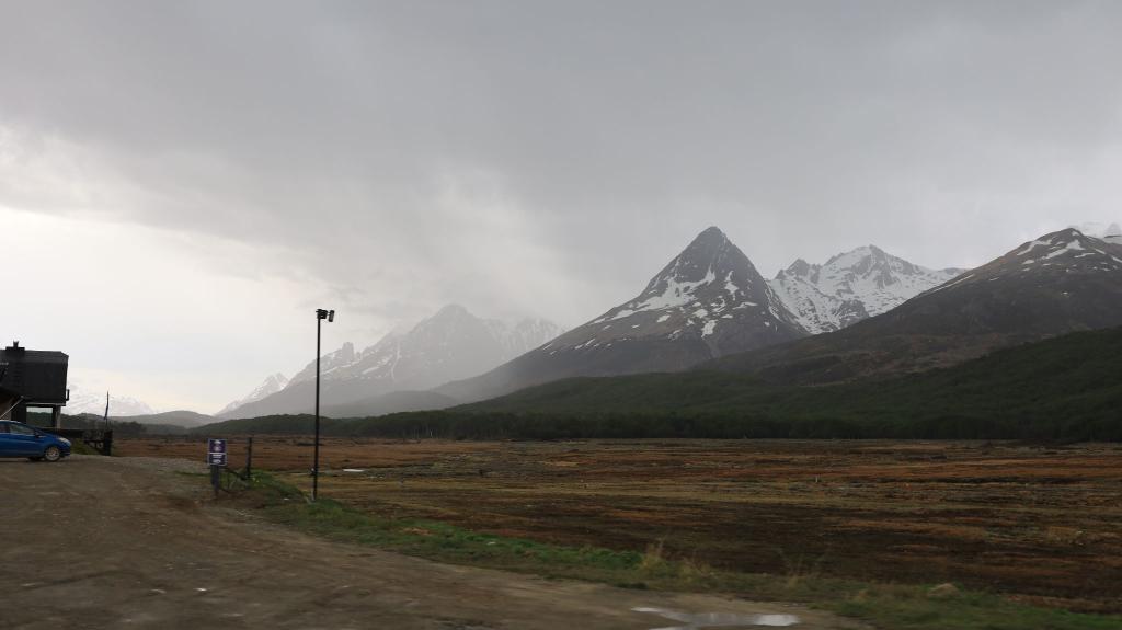
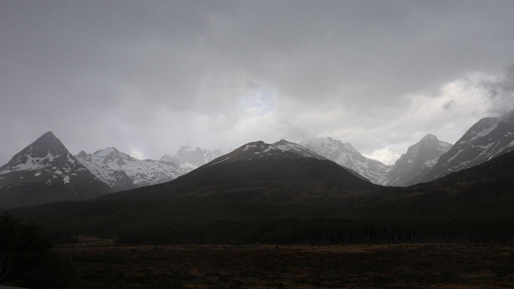
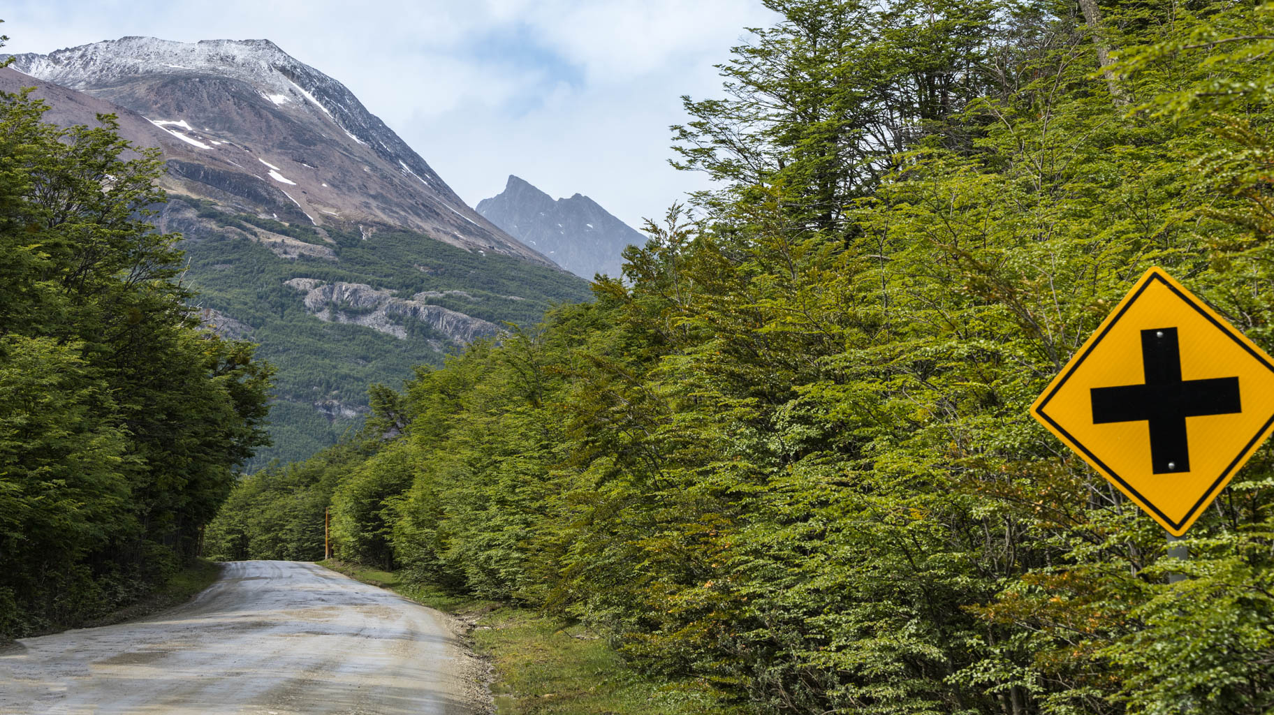
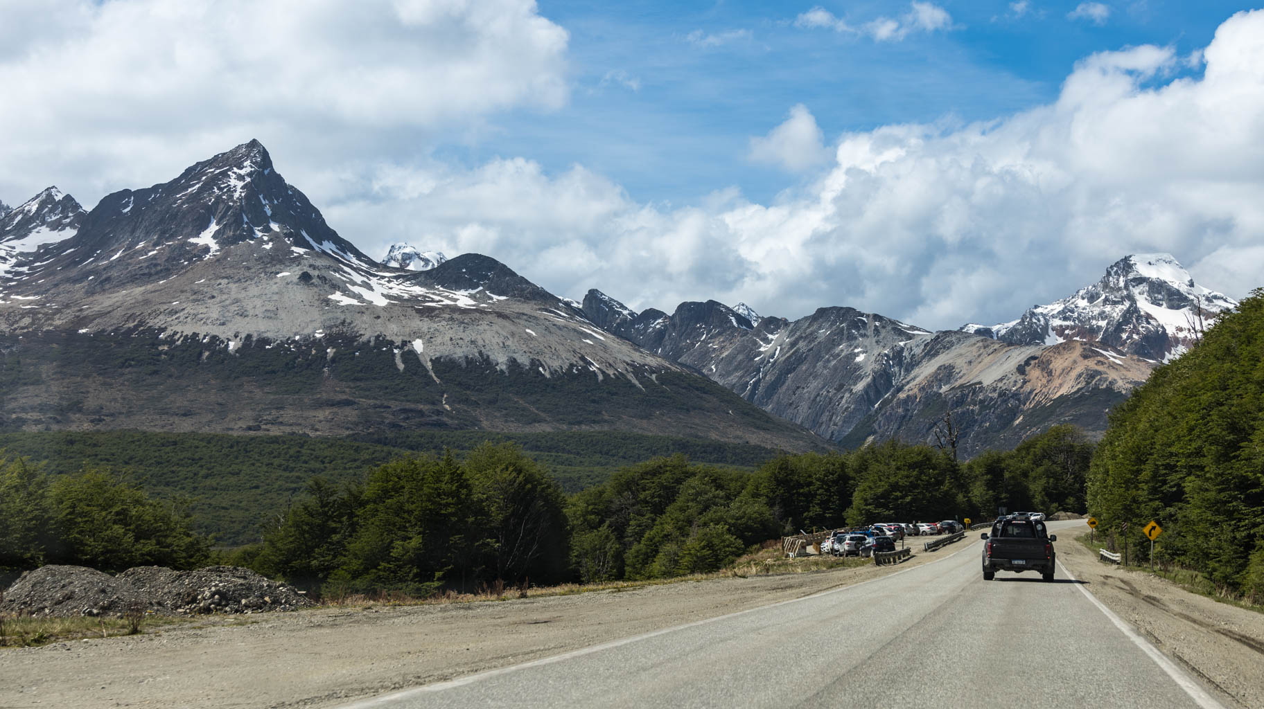
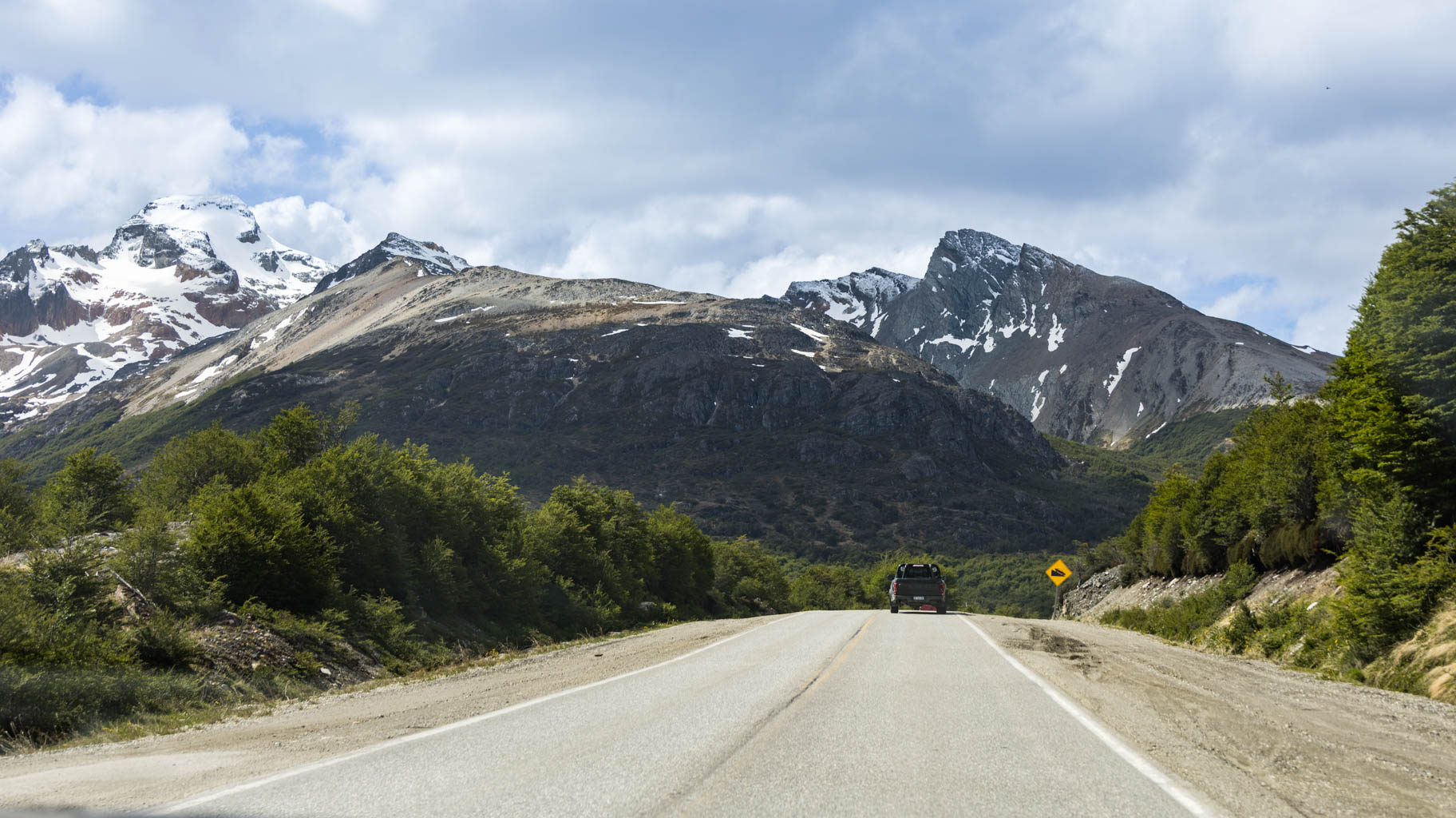
We spend about two hours here and then head to Ushuaia. We have about three hours of driving ahead of us and over two hundred kilometers to cover.
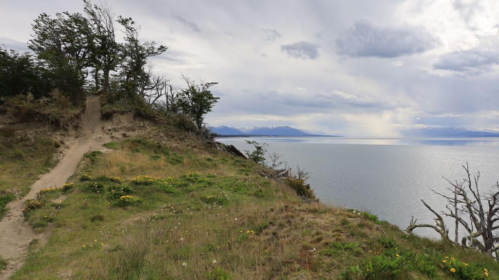
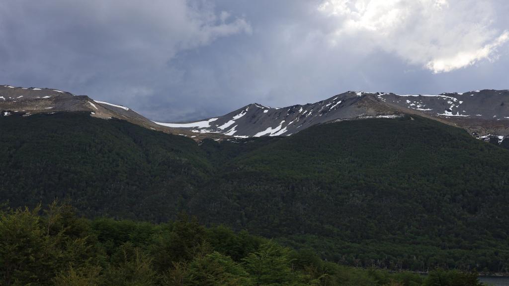
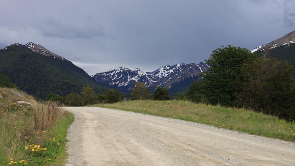
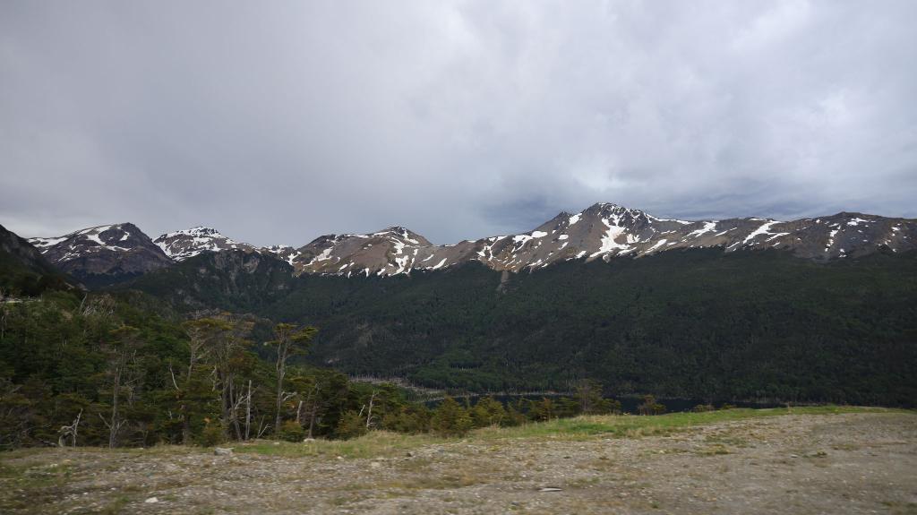
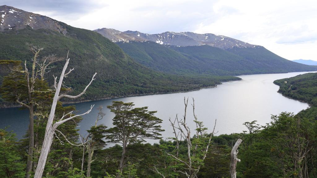
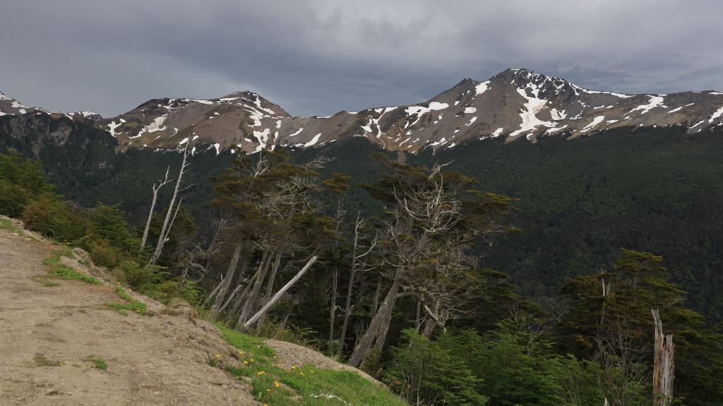
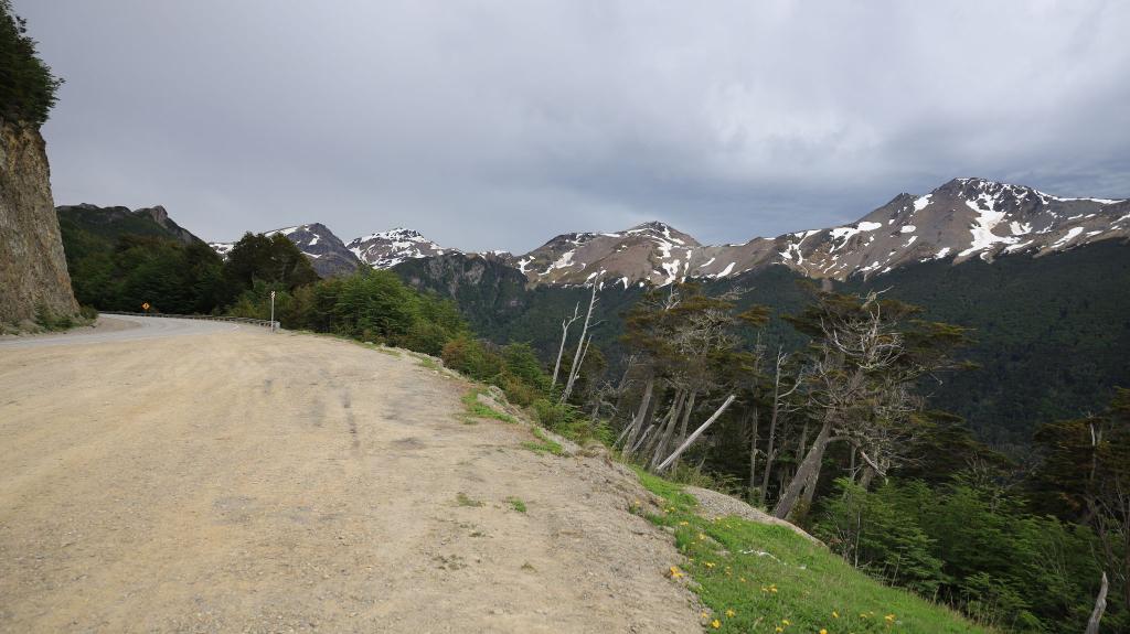
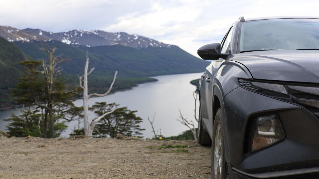
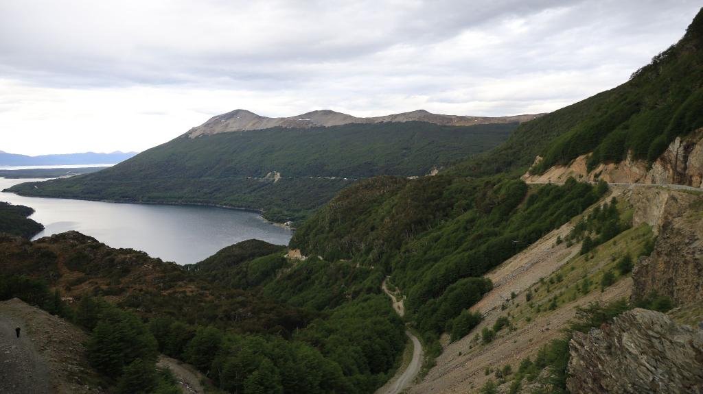
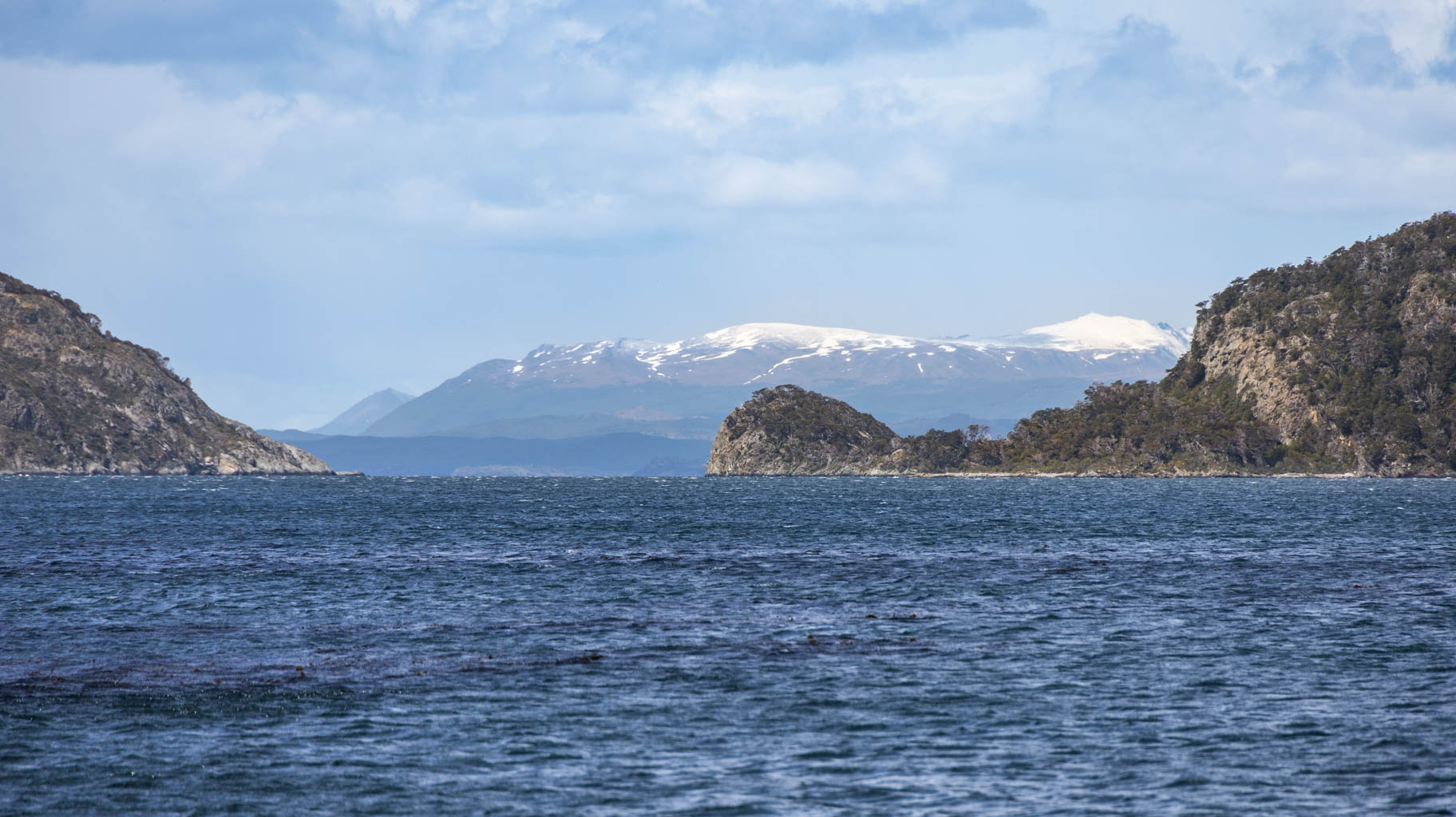
On the way, we stop at the Garibaldi Pass with a view of Lago Escondido. On the other side of the pass, the landscape changes, becoming very mountainous. The snow-capped peaks are surrounded by clouds and mist.
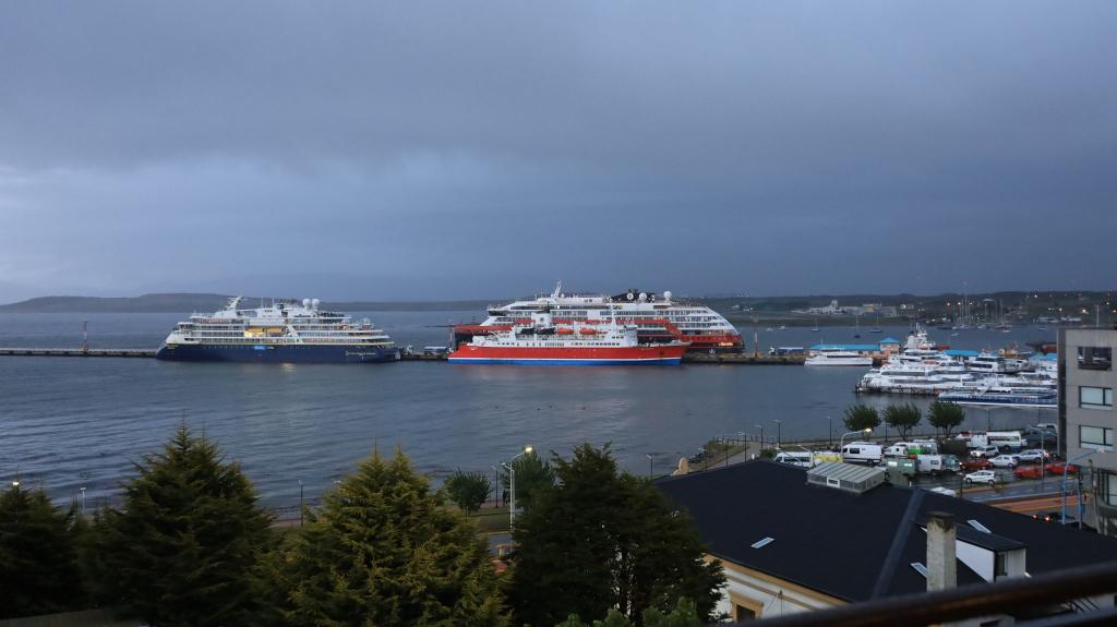
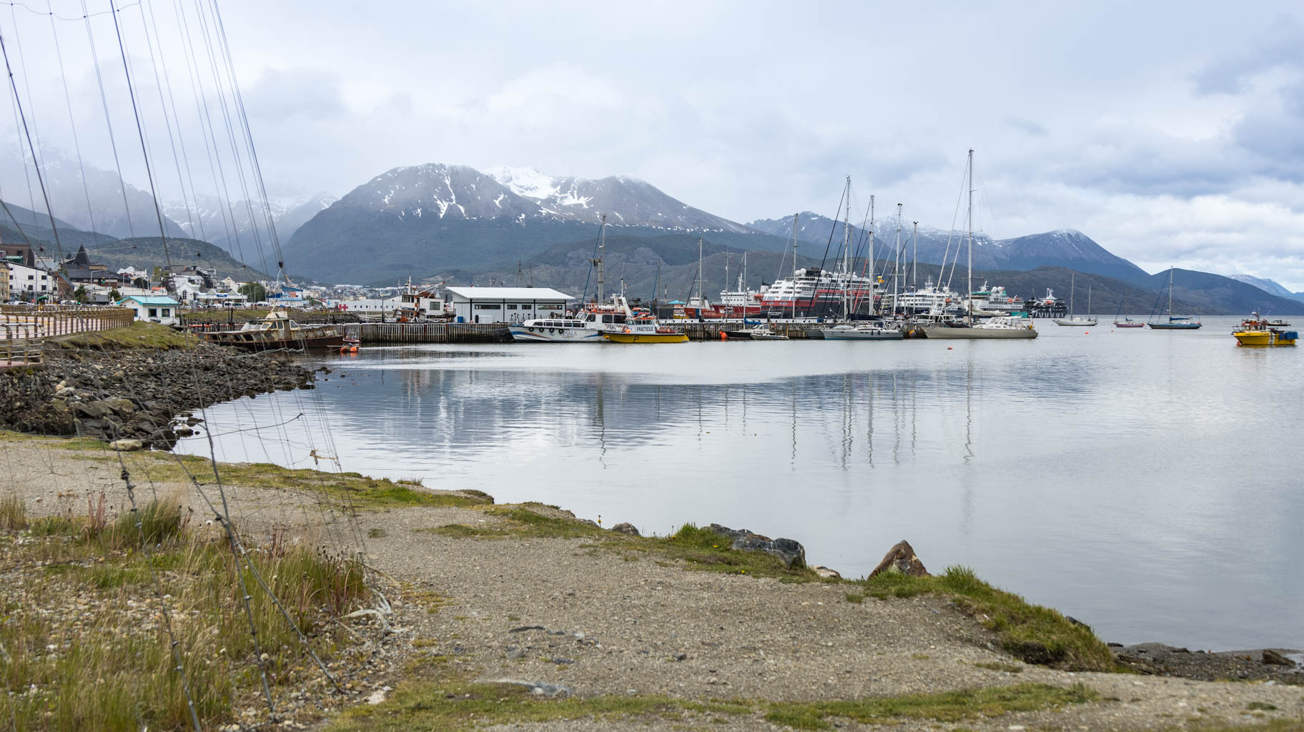
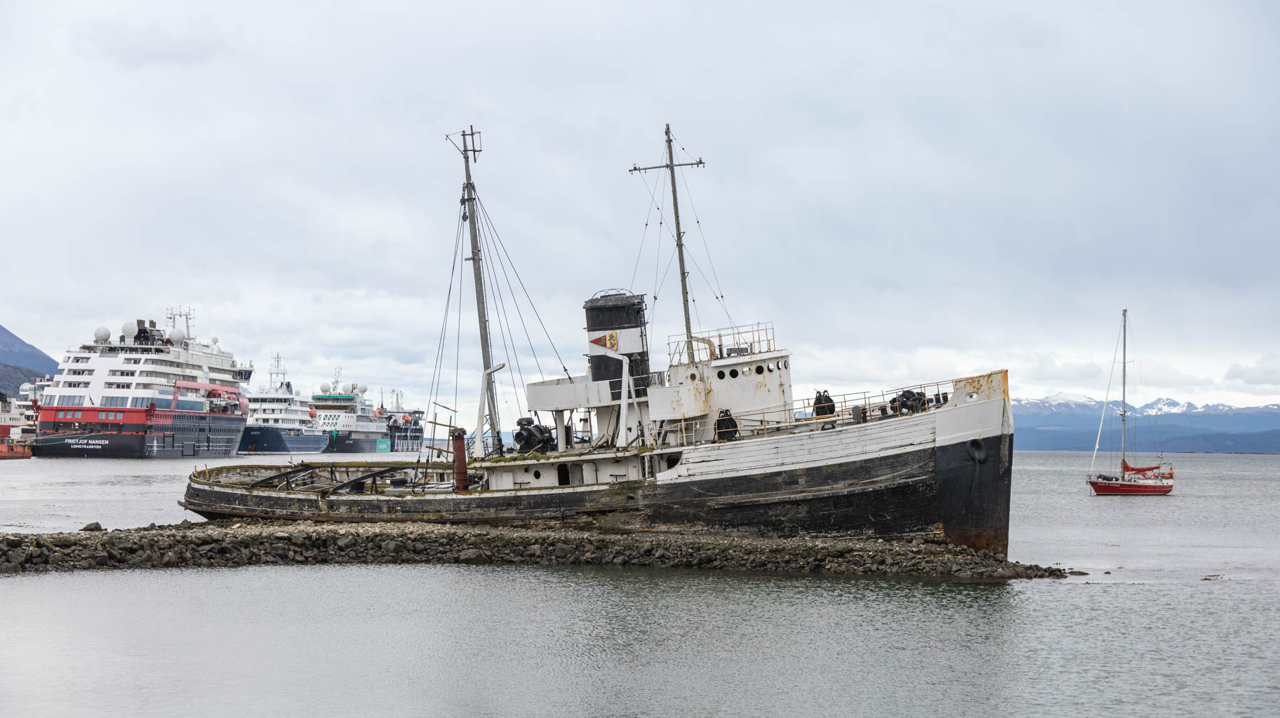
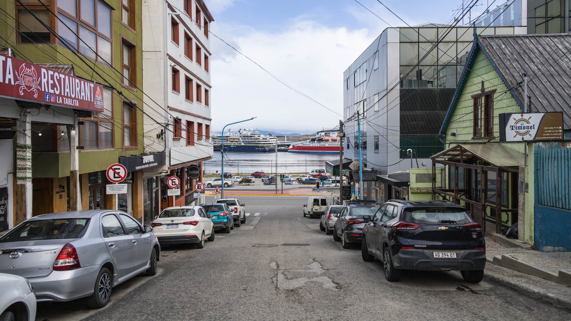
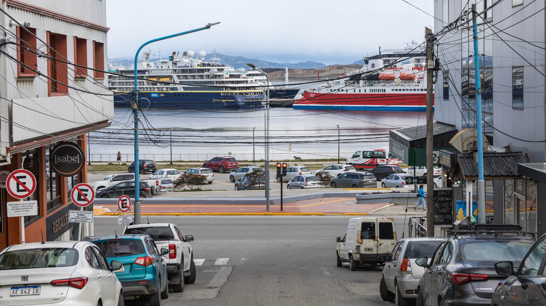
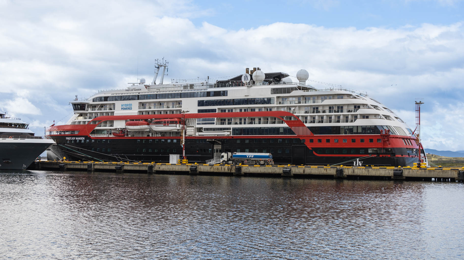
We arrive in Ushuaia before 7:00 p.m., check into our apartment, and go to one of the travel agencies to inquire about cruises to Antarctica, Cape Horn, and the Beagle Channel, which includes, among other things, penguin watching.
The average cost for an eight- or ten-day Antarctic cruise is $8000-12000. Ultimately, we receive an offer for a cruise in early December for $7000. According to the agency employee, with sufficient advance booking, and very rarely, there are promotions for cruises at $4500-5000.
As for Cape Horn, the cruise lasts three to five days and costs around $2500 per person.
The five-hour Beagle Channel cruise costs $125, and we manage to negotiate the price down to just under $110 per person, which is the option we choose. The cruise is in two days.
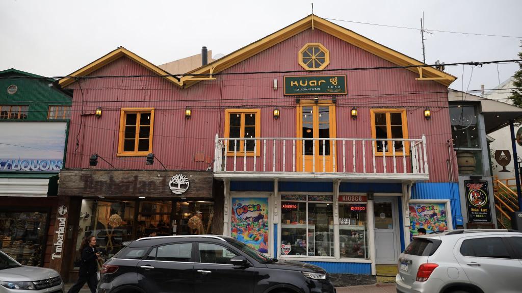
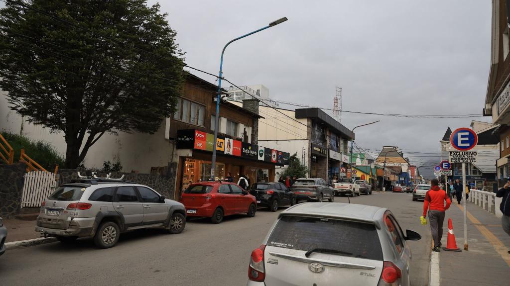
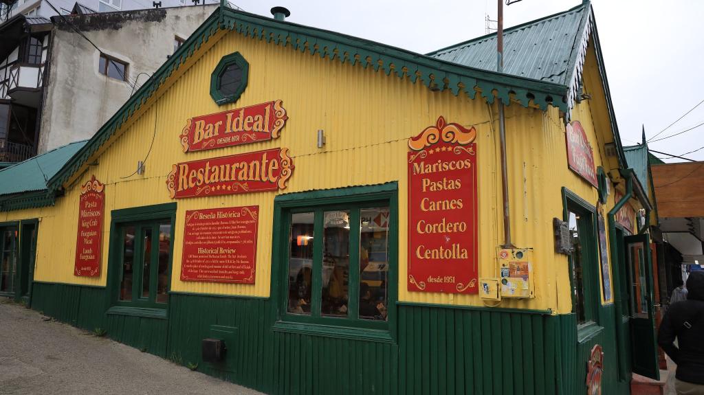
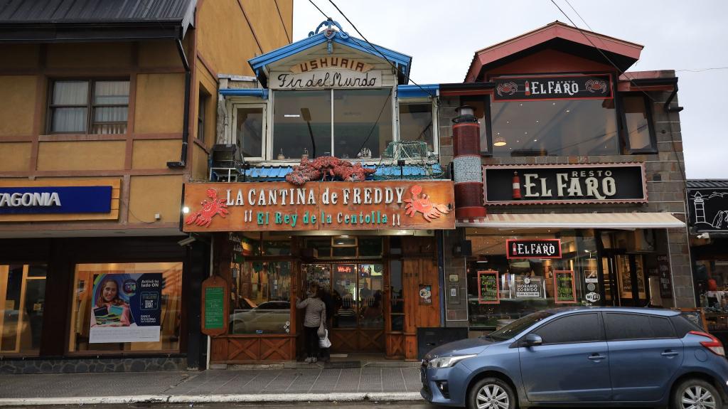
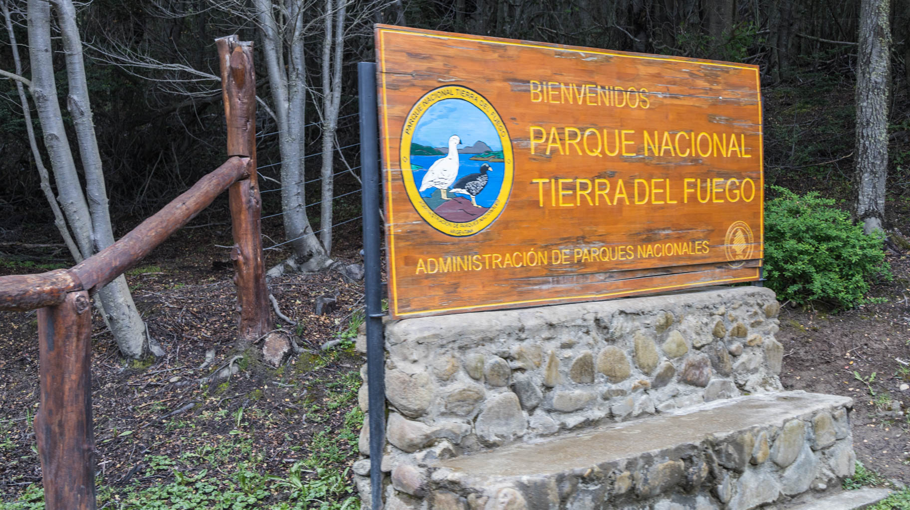
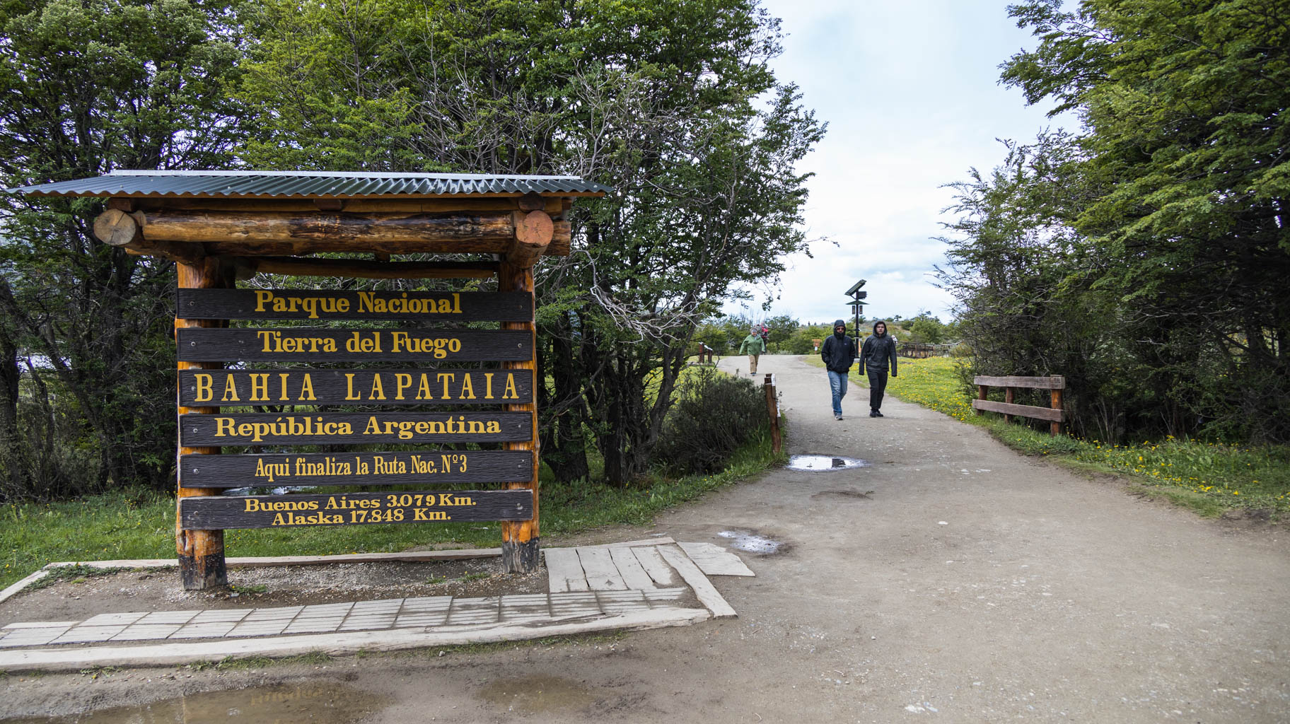
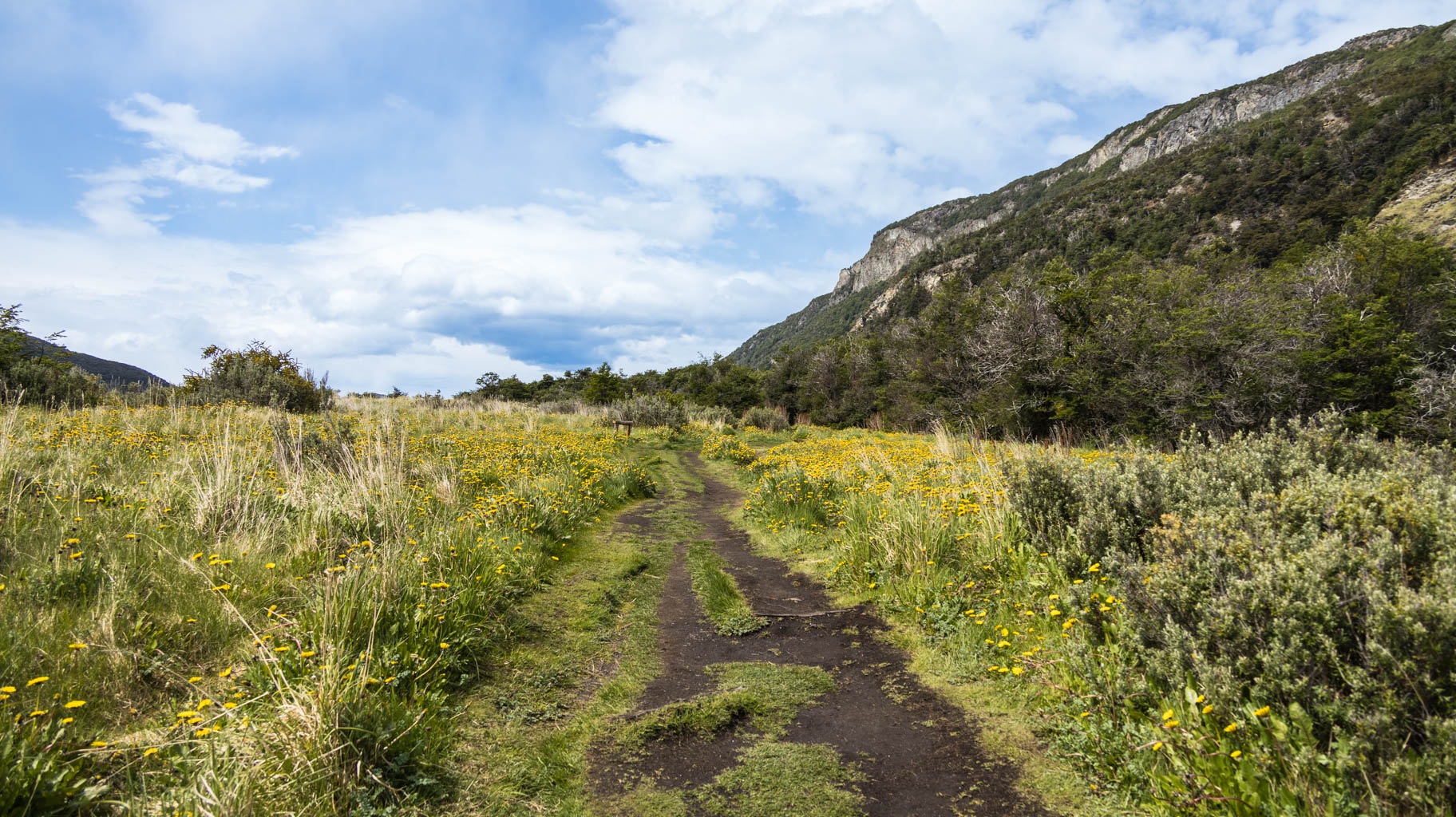
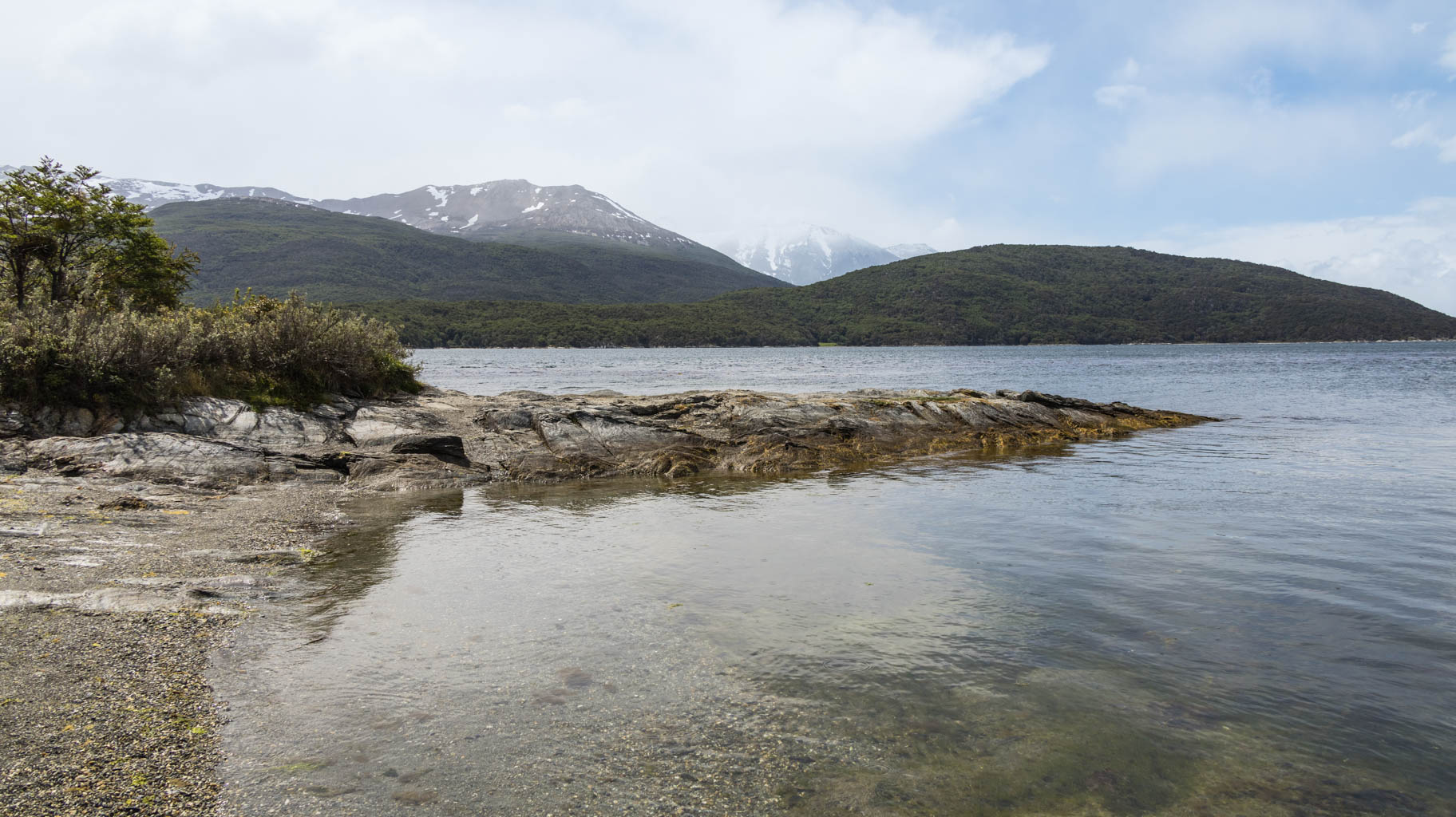
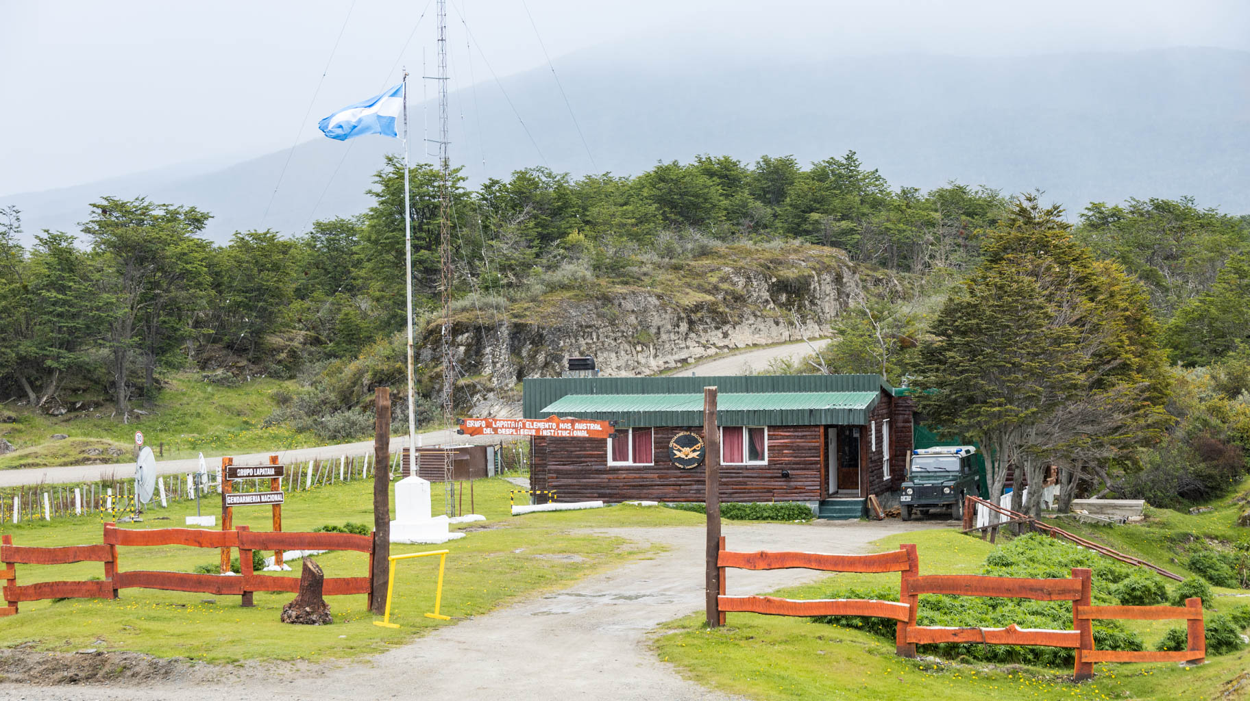
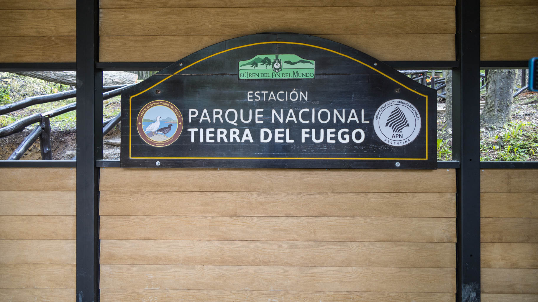
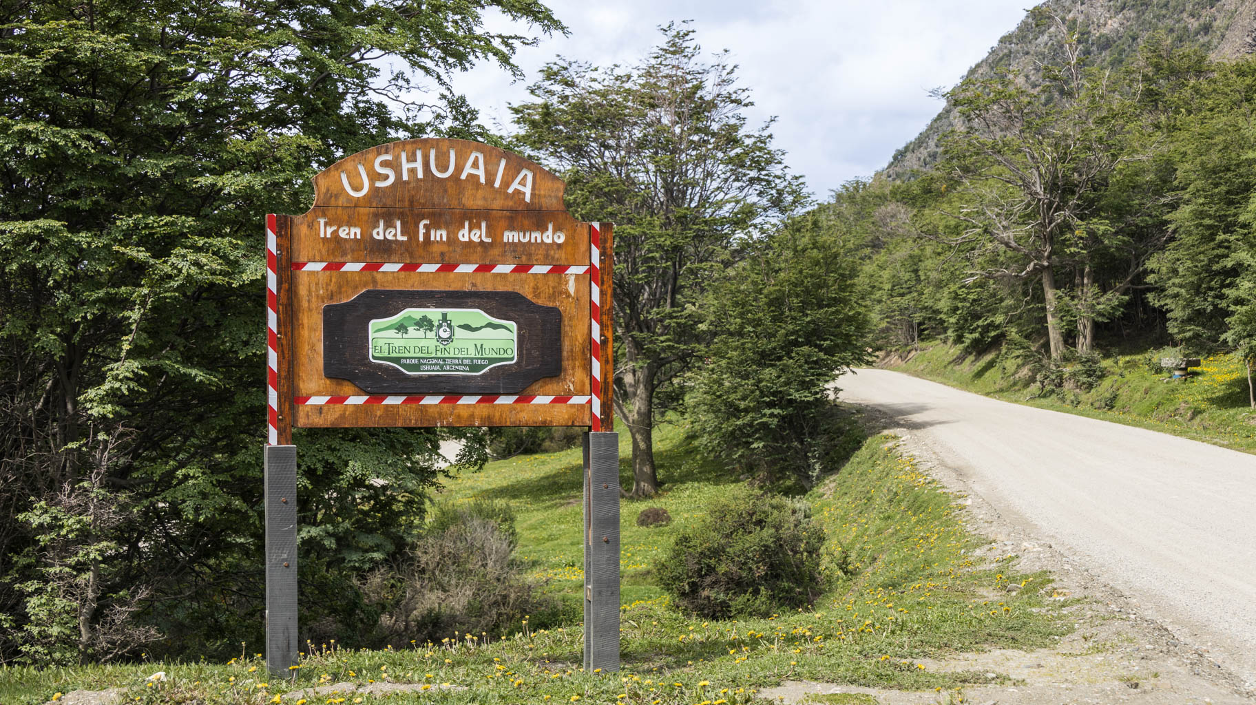
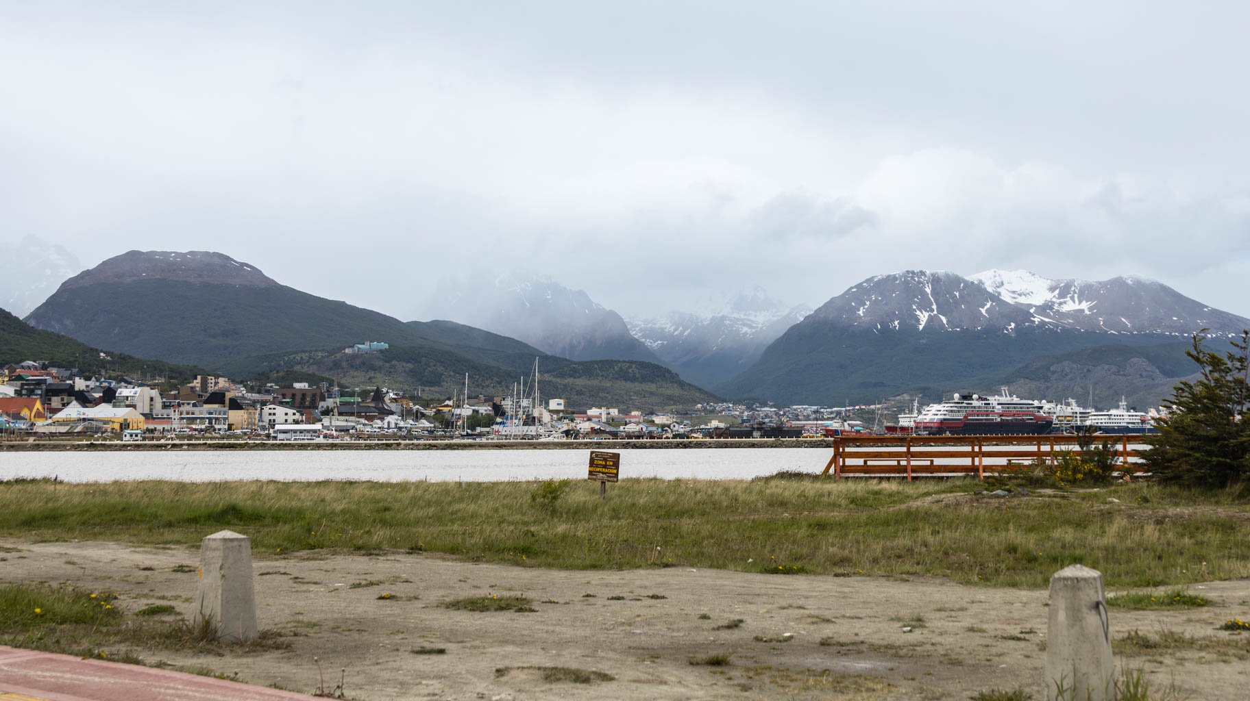
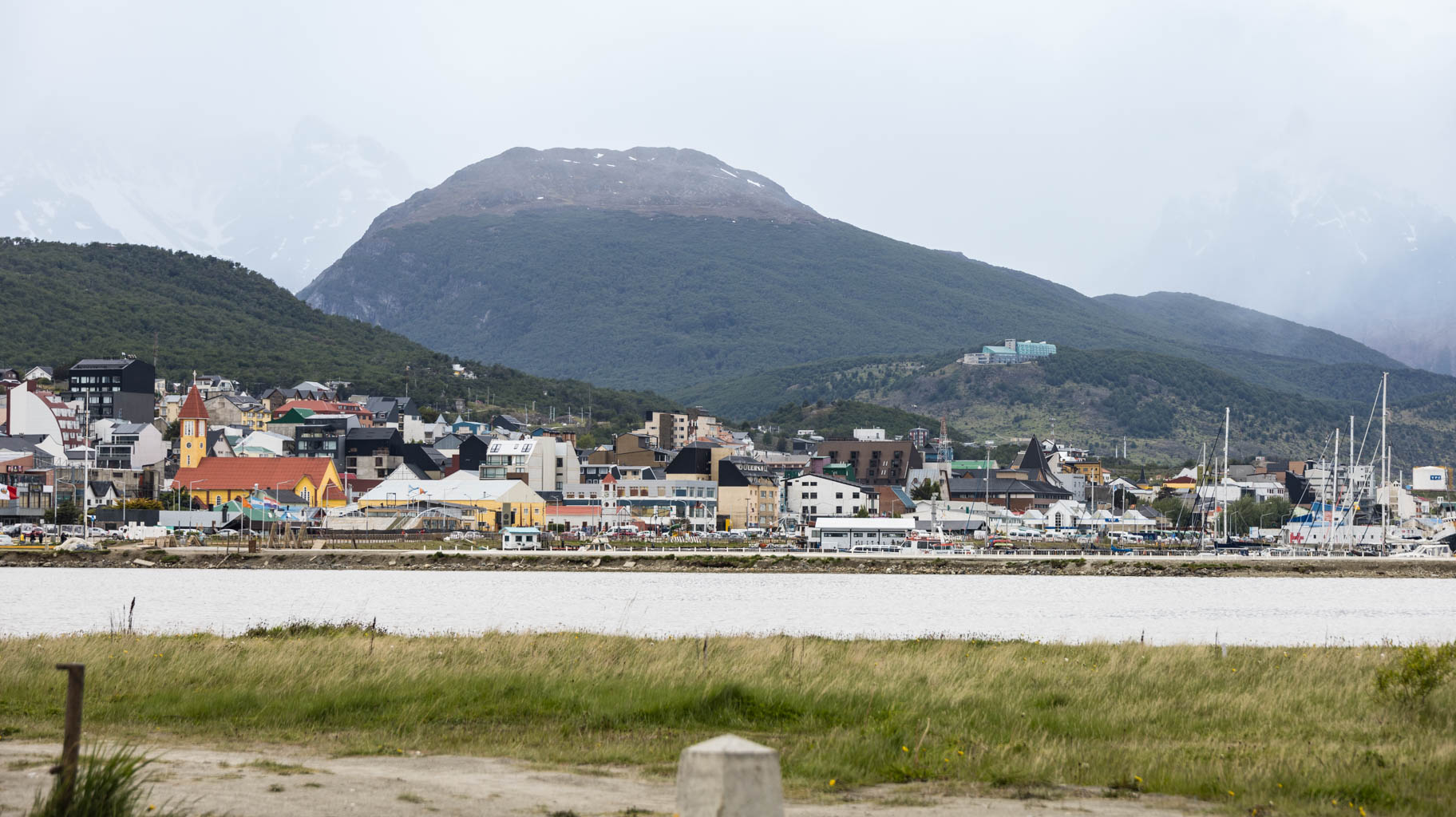
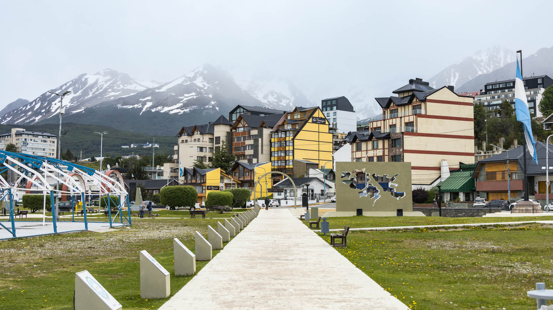
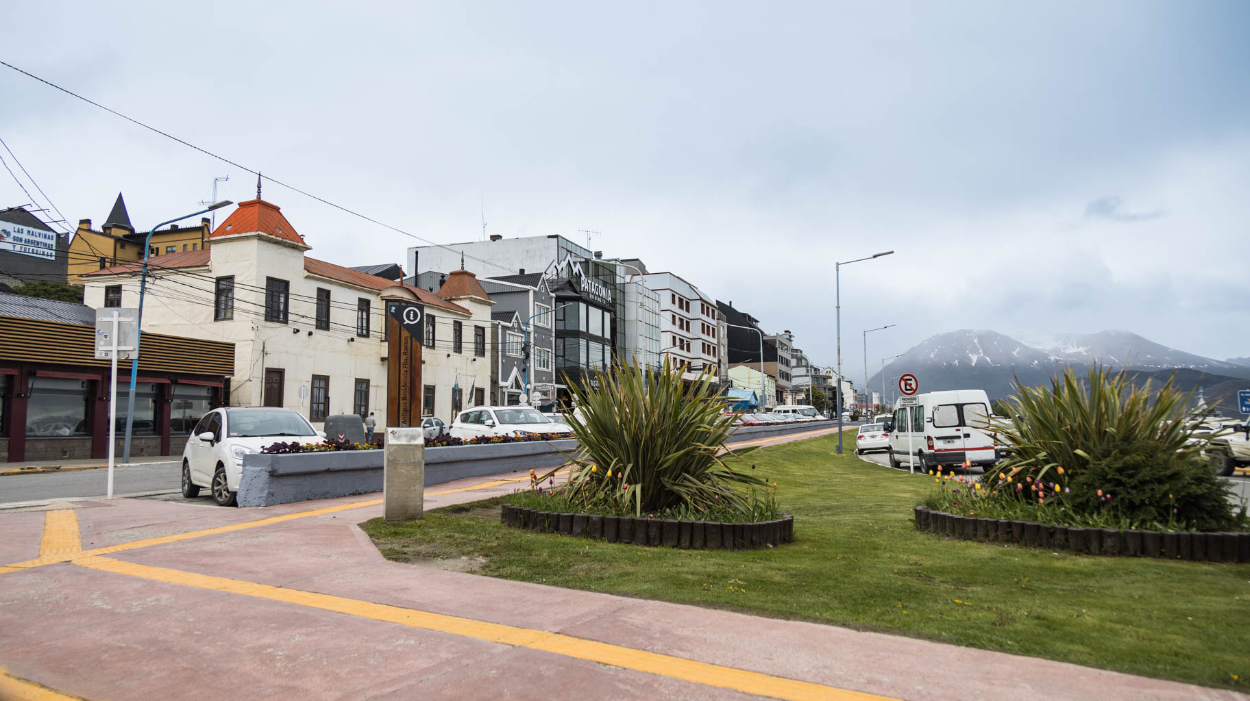
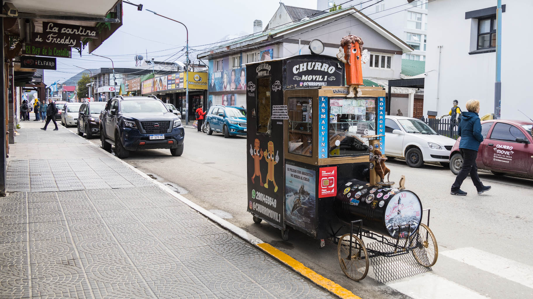
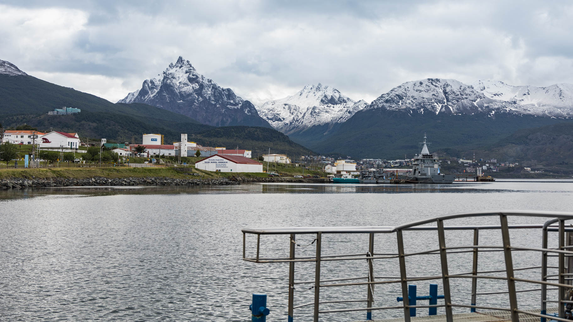
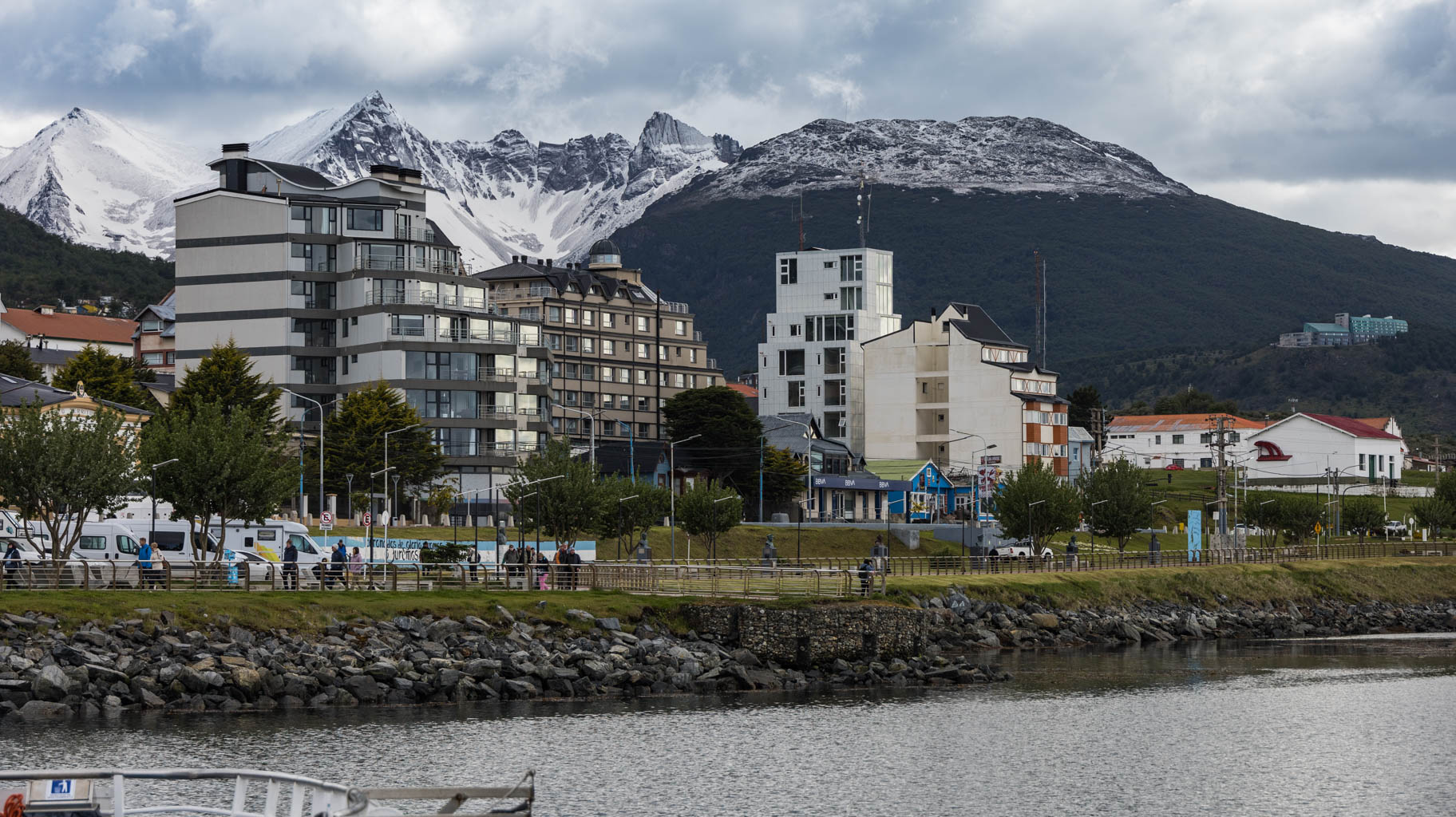
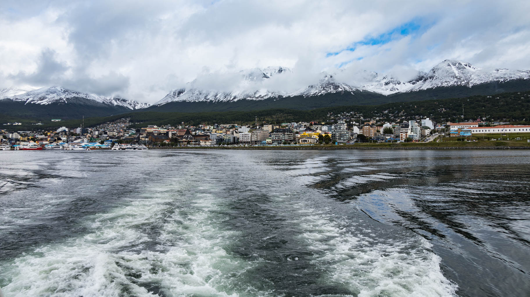
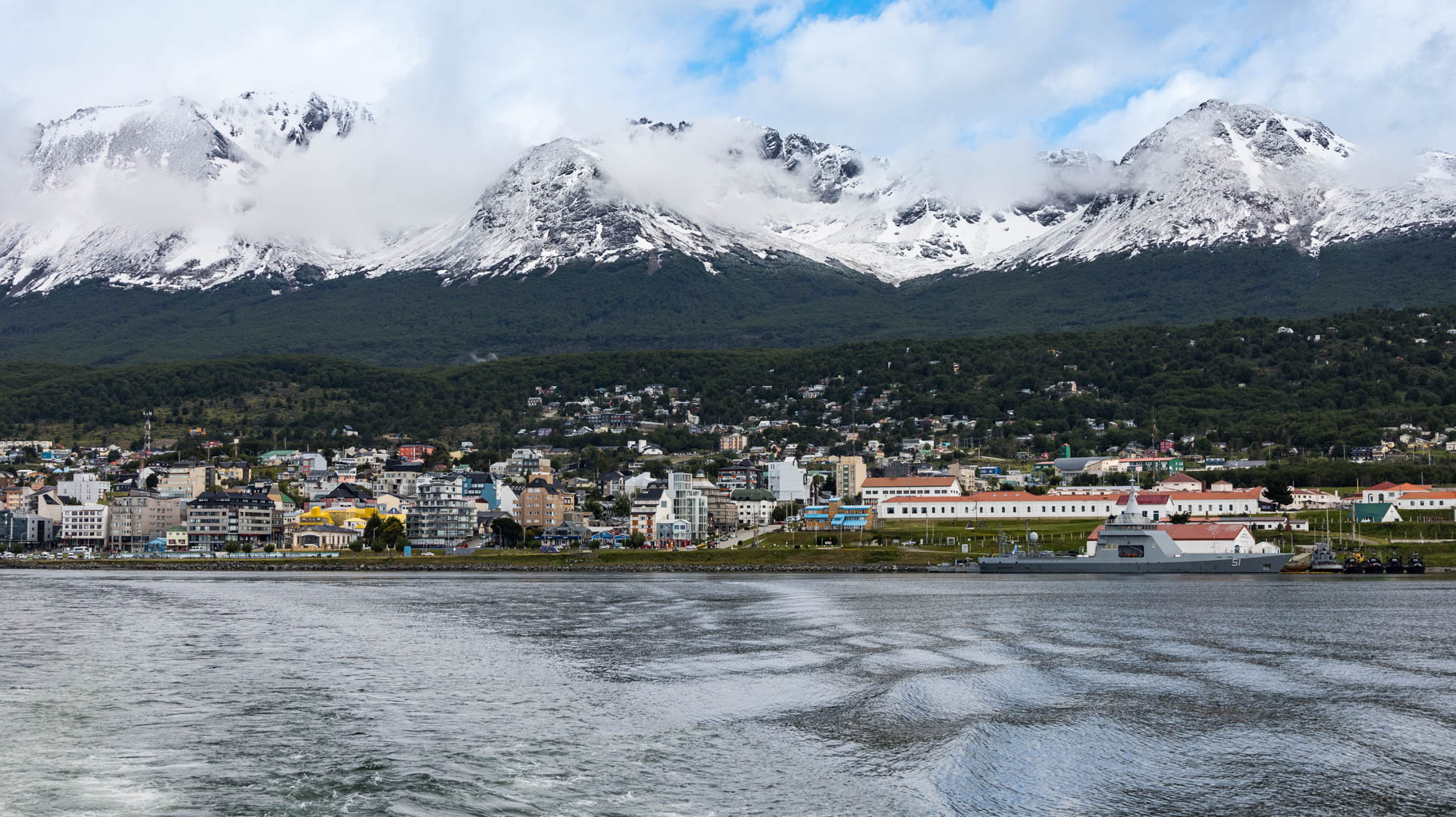
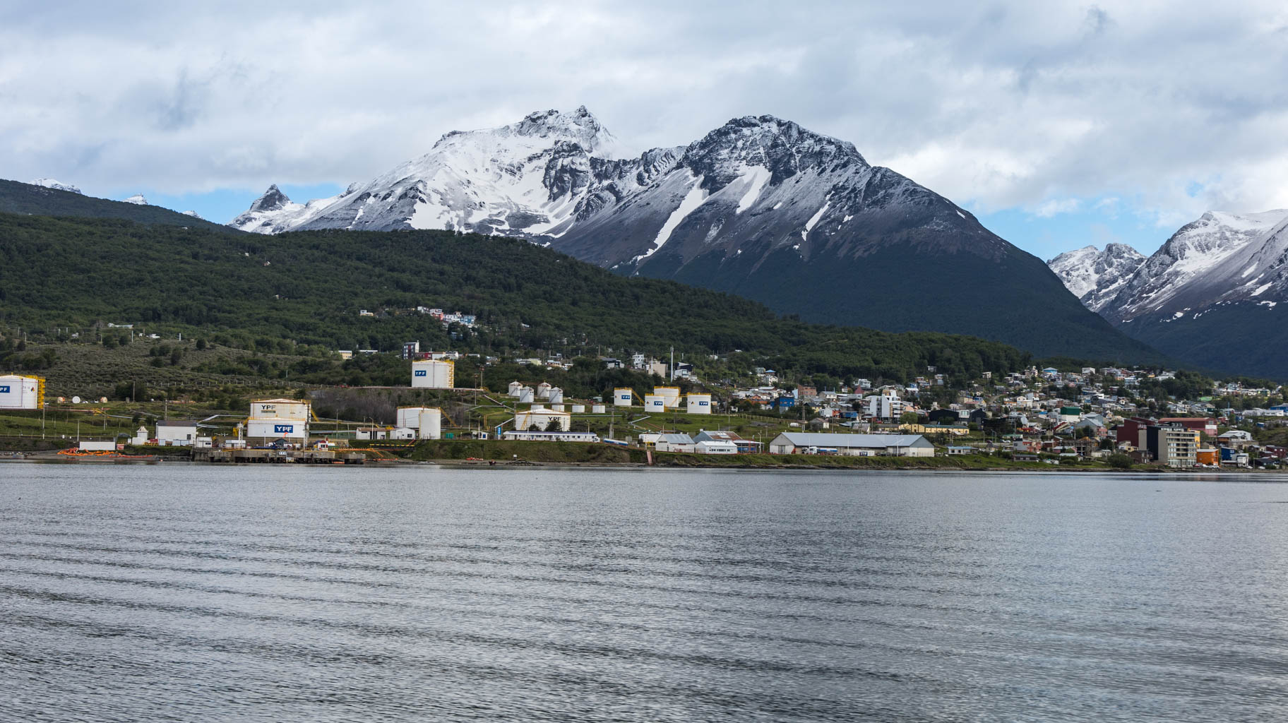
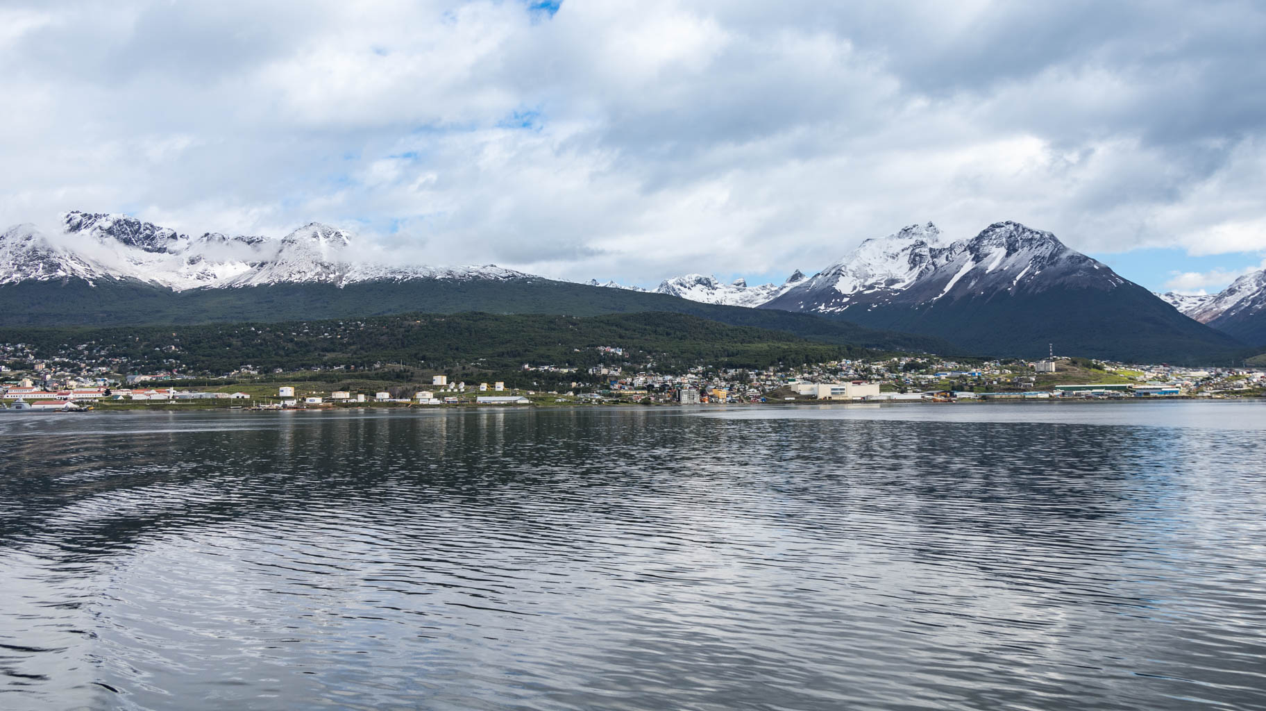
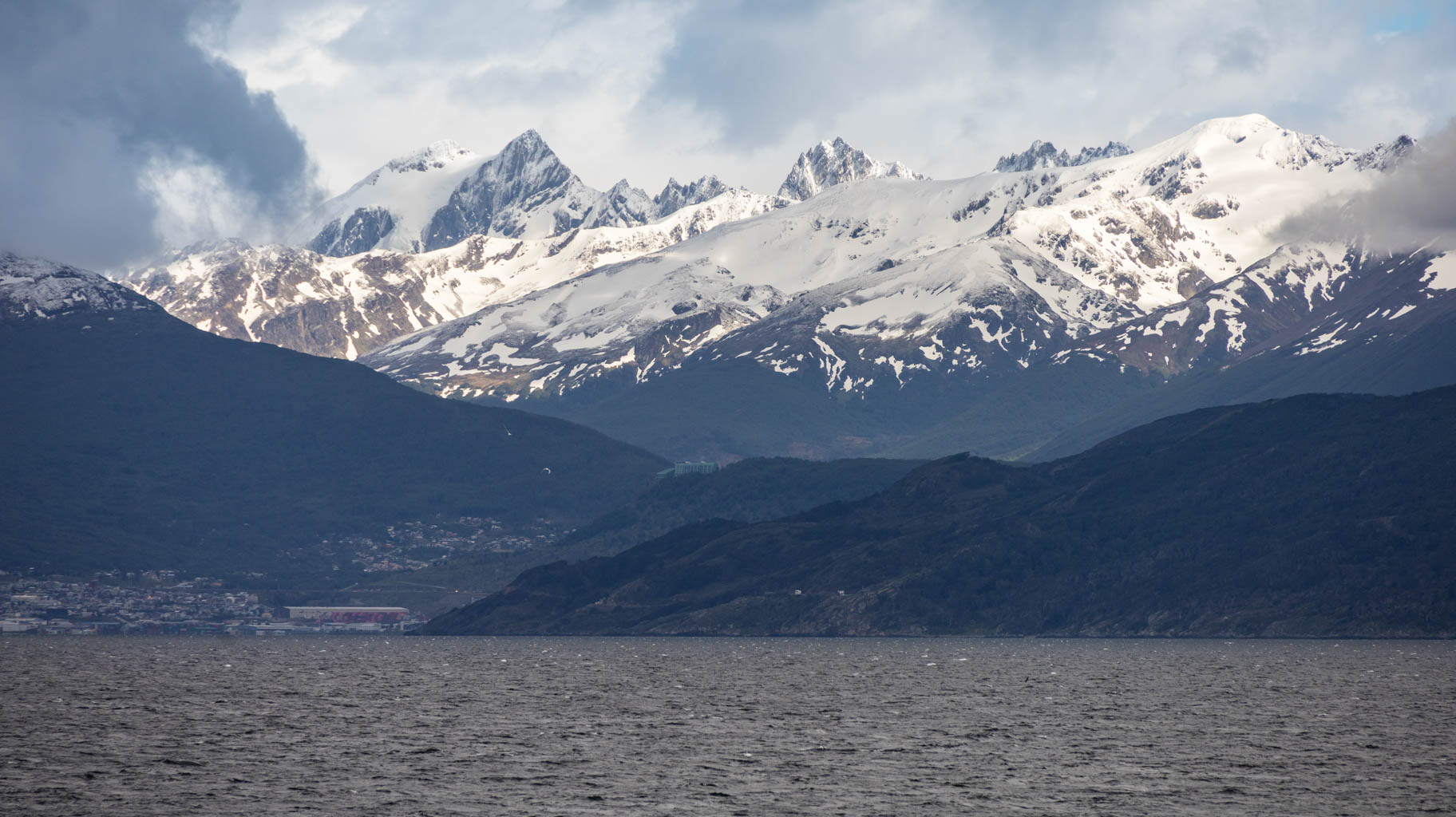
Today we explore the surroundings of the city, including the Tierra del Fuego National Park and the city of Ushuaia itself, which has a population of 70,000. It is the southernmost city on Earth located on solid land. Beyond it, there is only Antarctica.
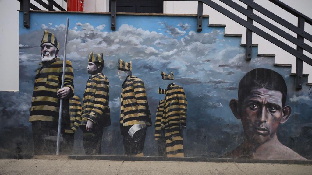
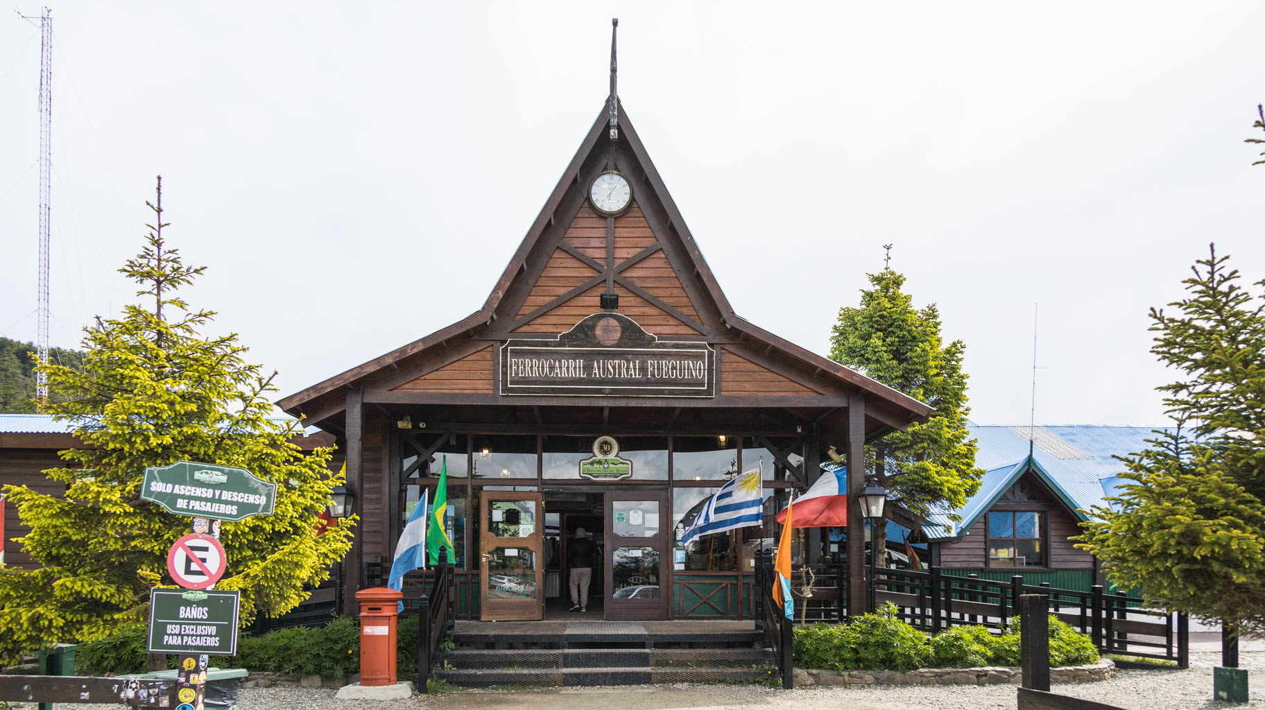
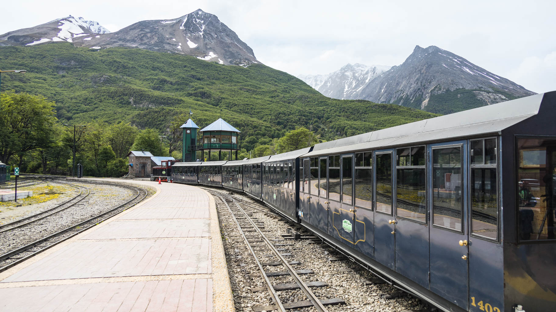
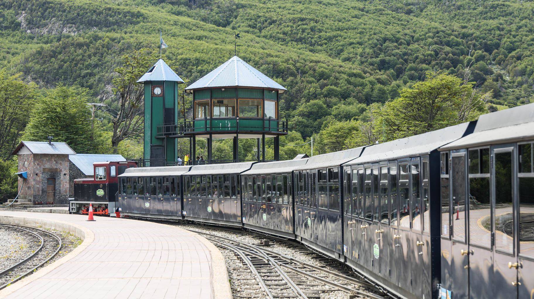
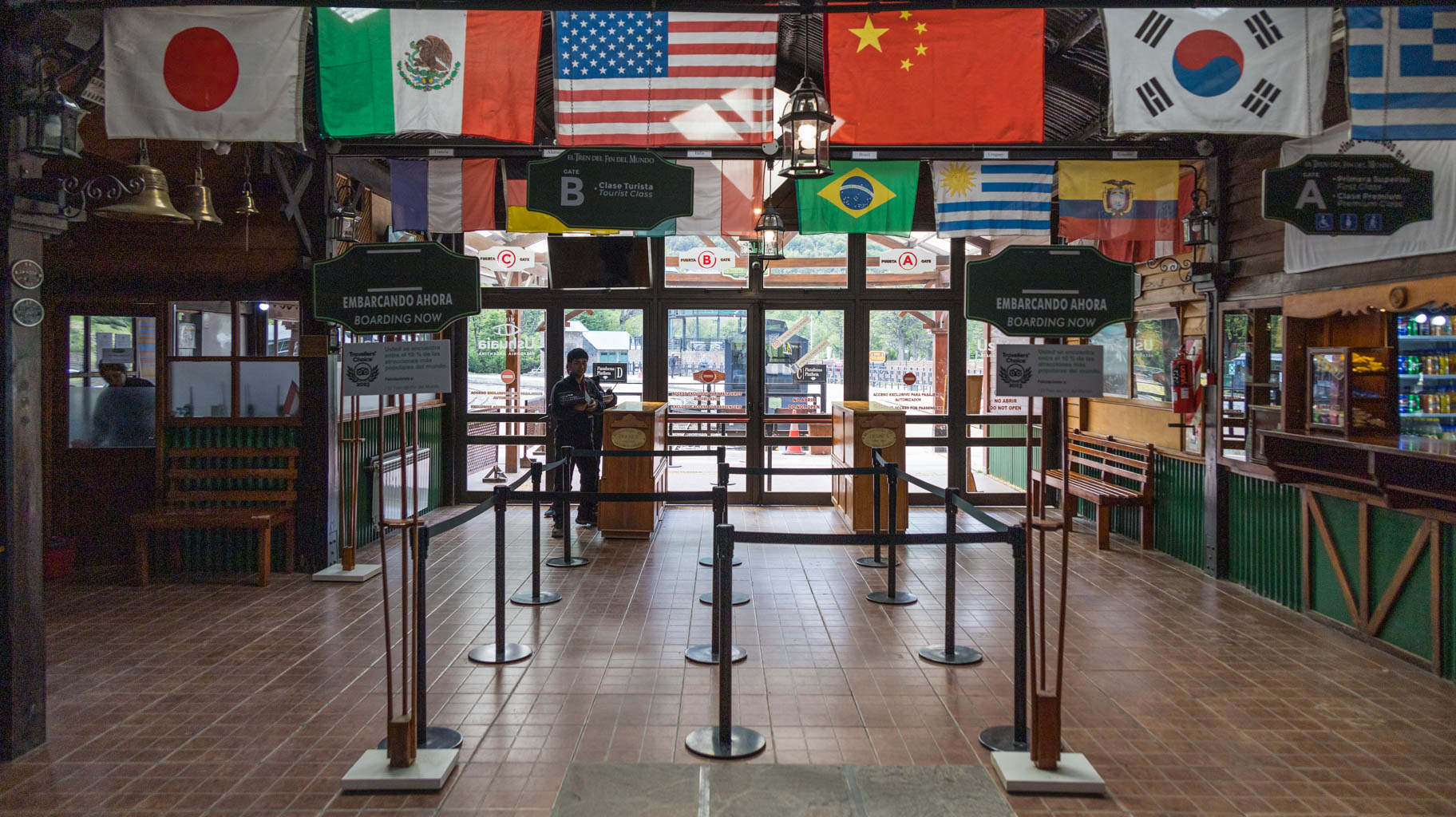
A one-day entry ticket to the park costs $40 per person, and a two-day ticket costs $60. You can move around the park by car or by the train, which was once used by prisoners sent here to transport the trees cut down in the area. Ushuaia was, in fact, a penal colony.
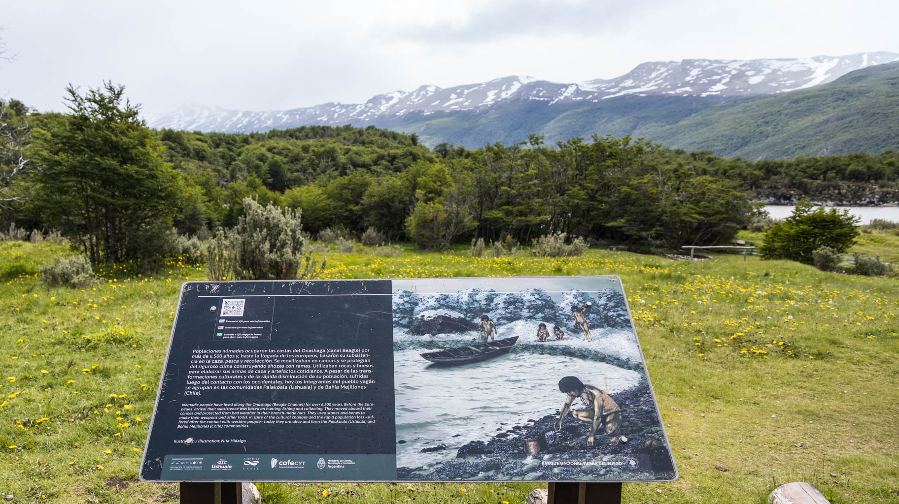
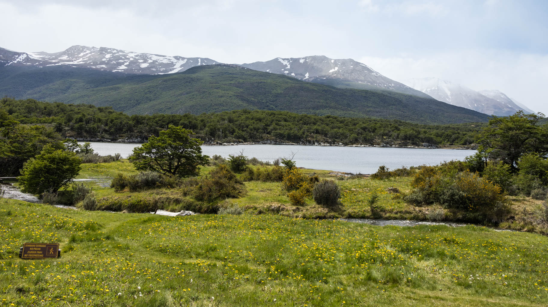
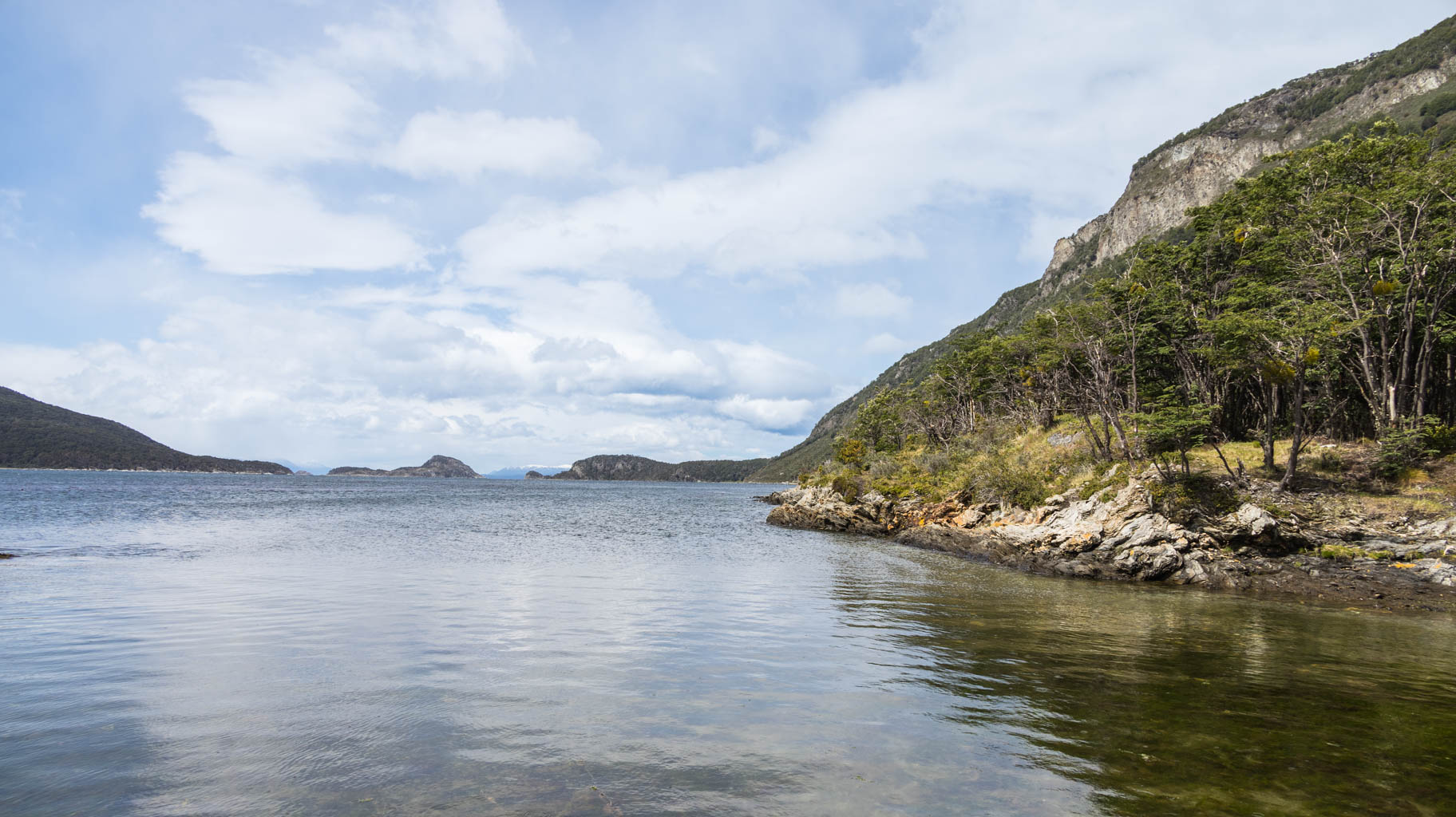
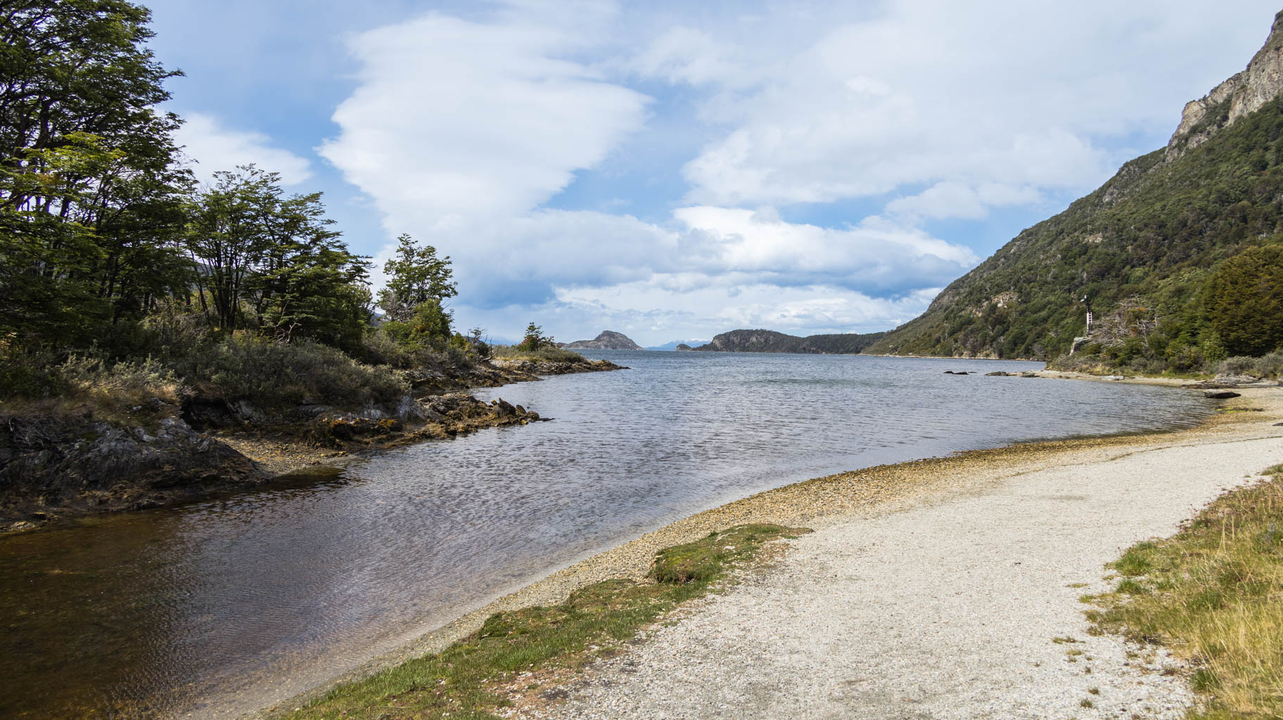
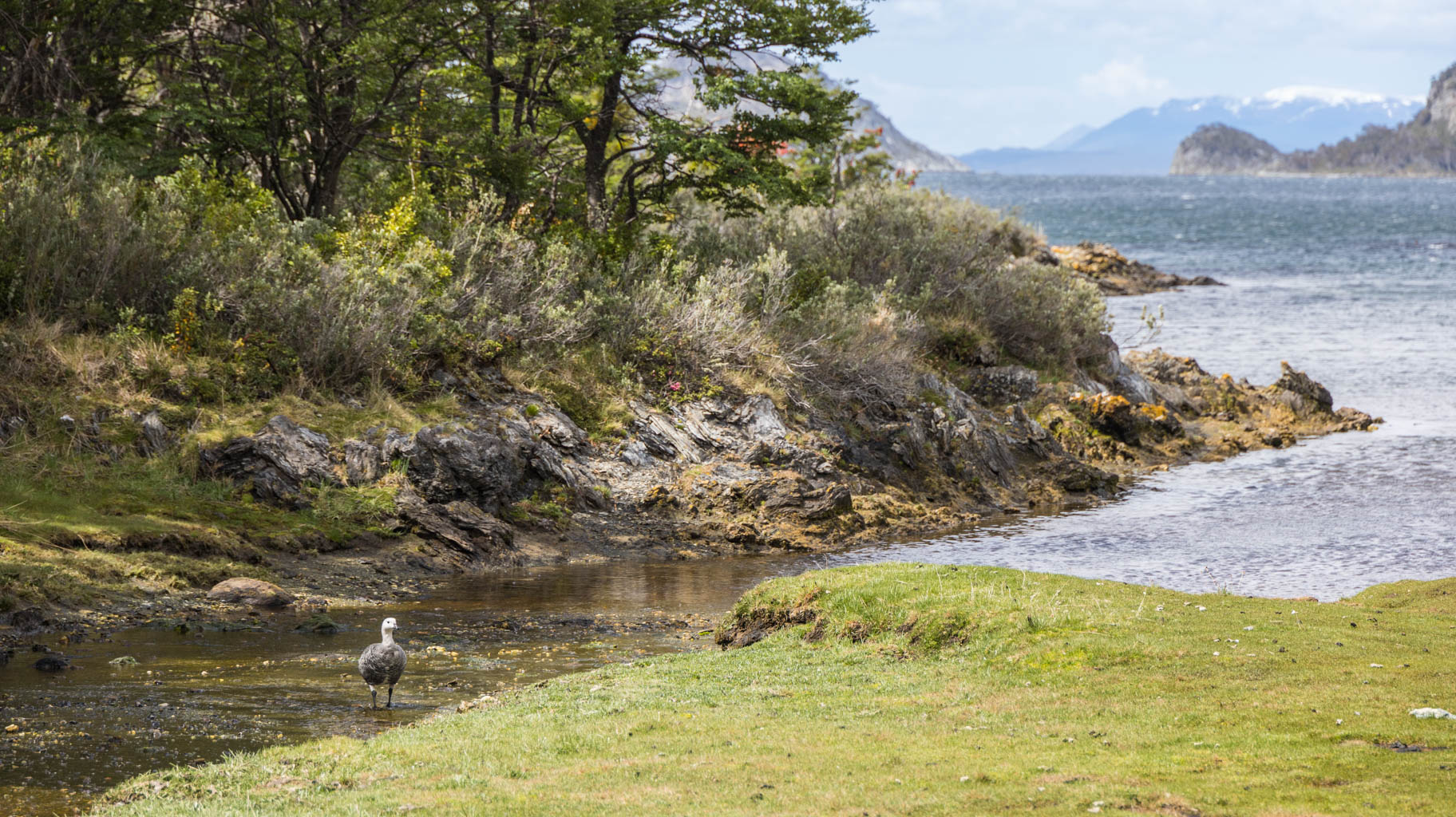
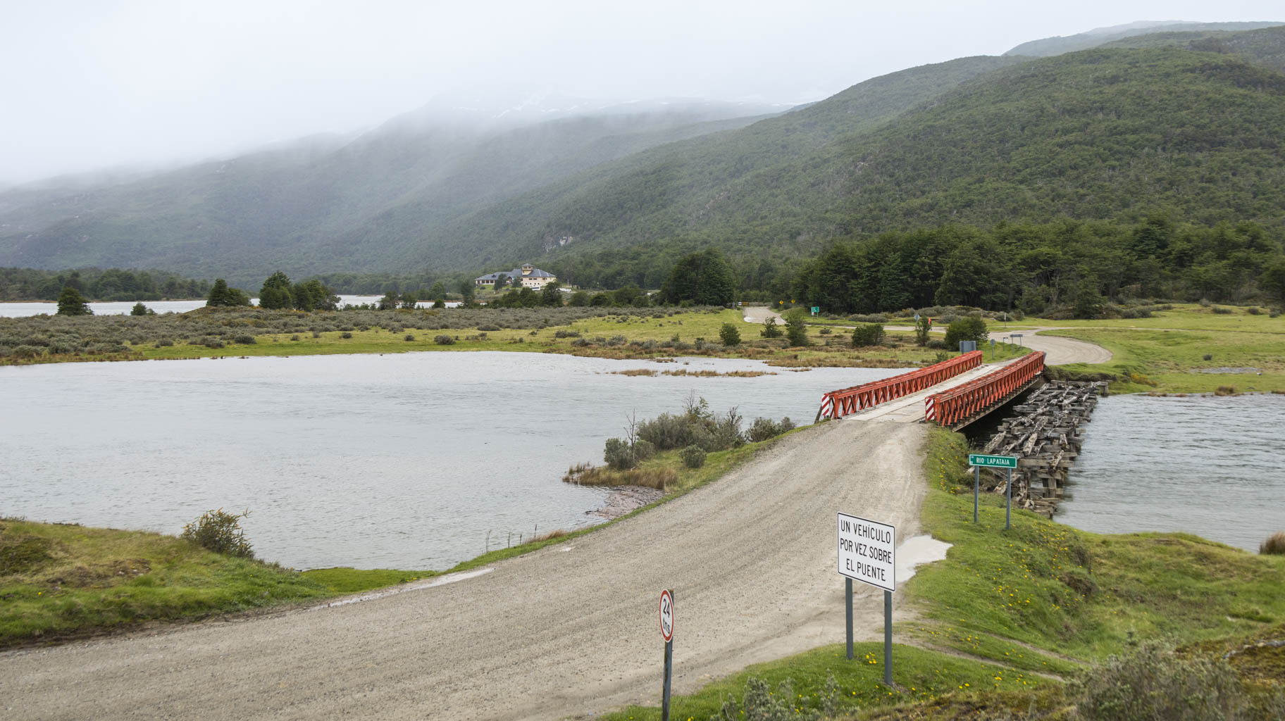
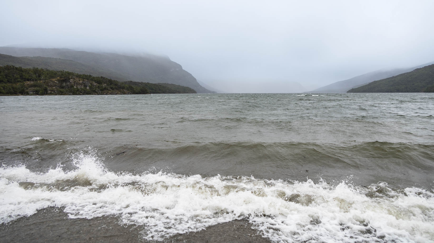
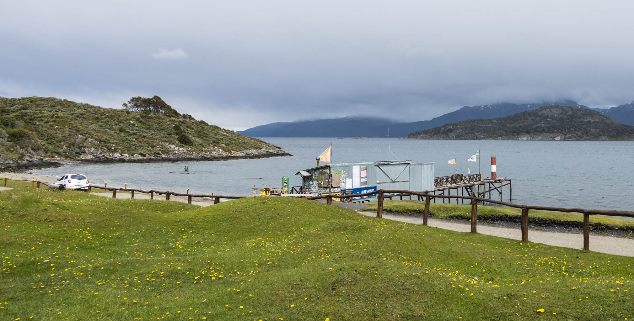
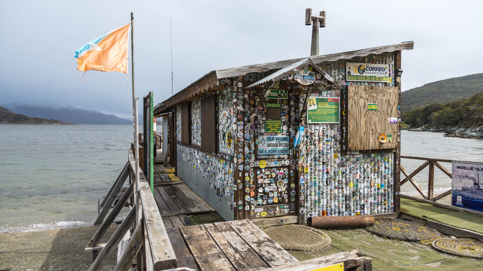
The furthest point in the park, Bahia Lapataia (Lapataia Bay), can only be reached by car, where there is a viewpoint overlooking the lake, and from there, a walking trail leads to another viewpoint - Baliza. The 1.2 km distance takes us fifteen minutes to cover. Beyond this, there are no more roads or trails.
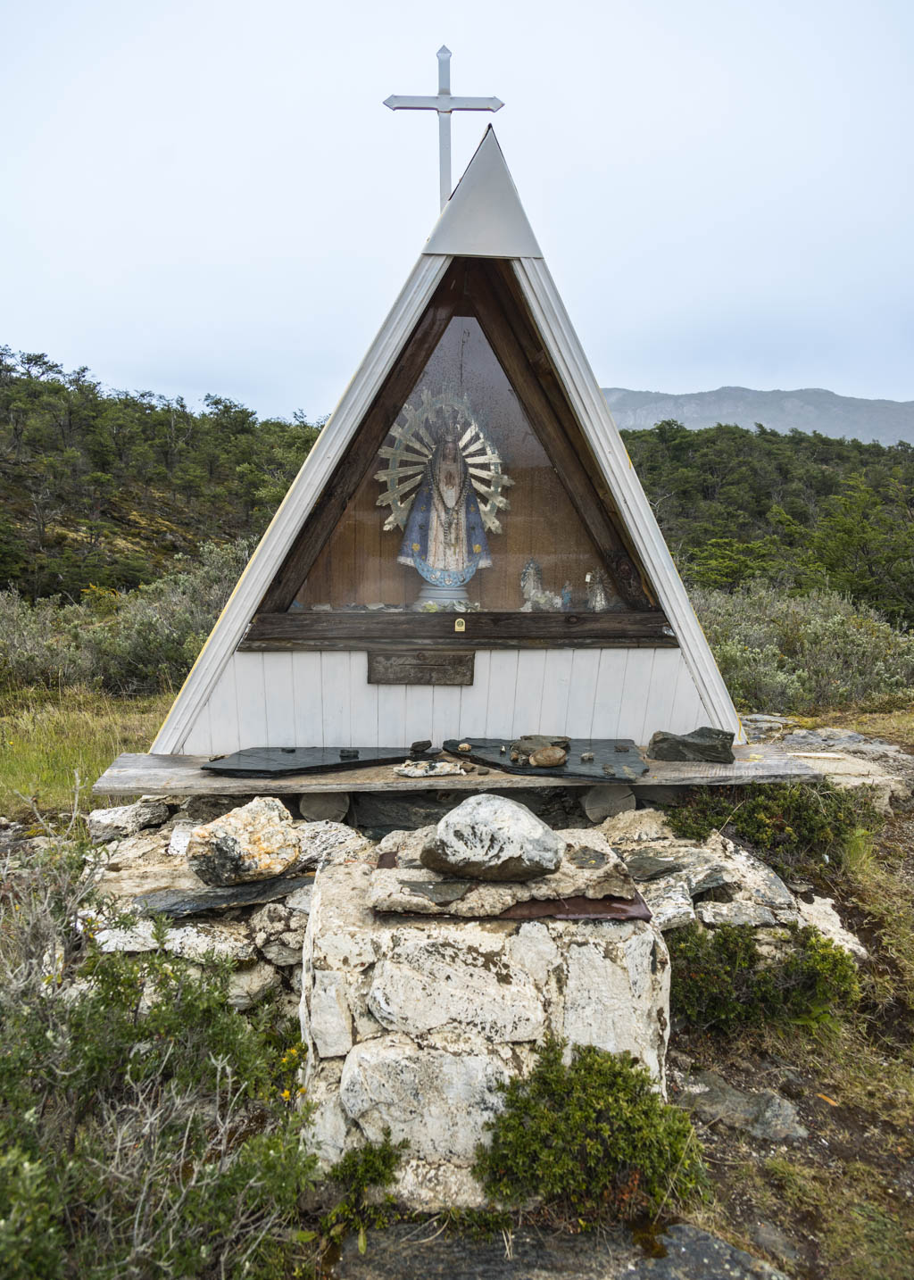
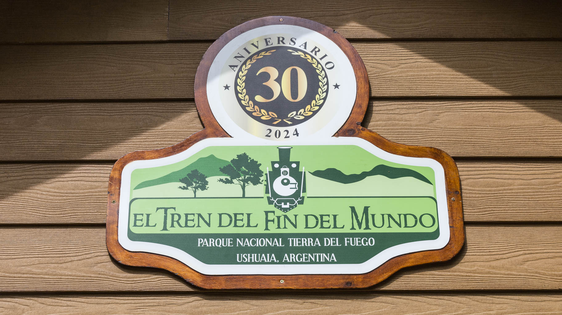
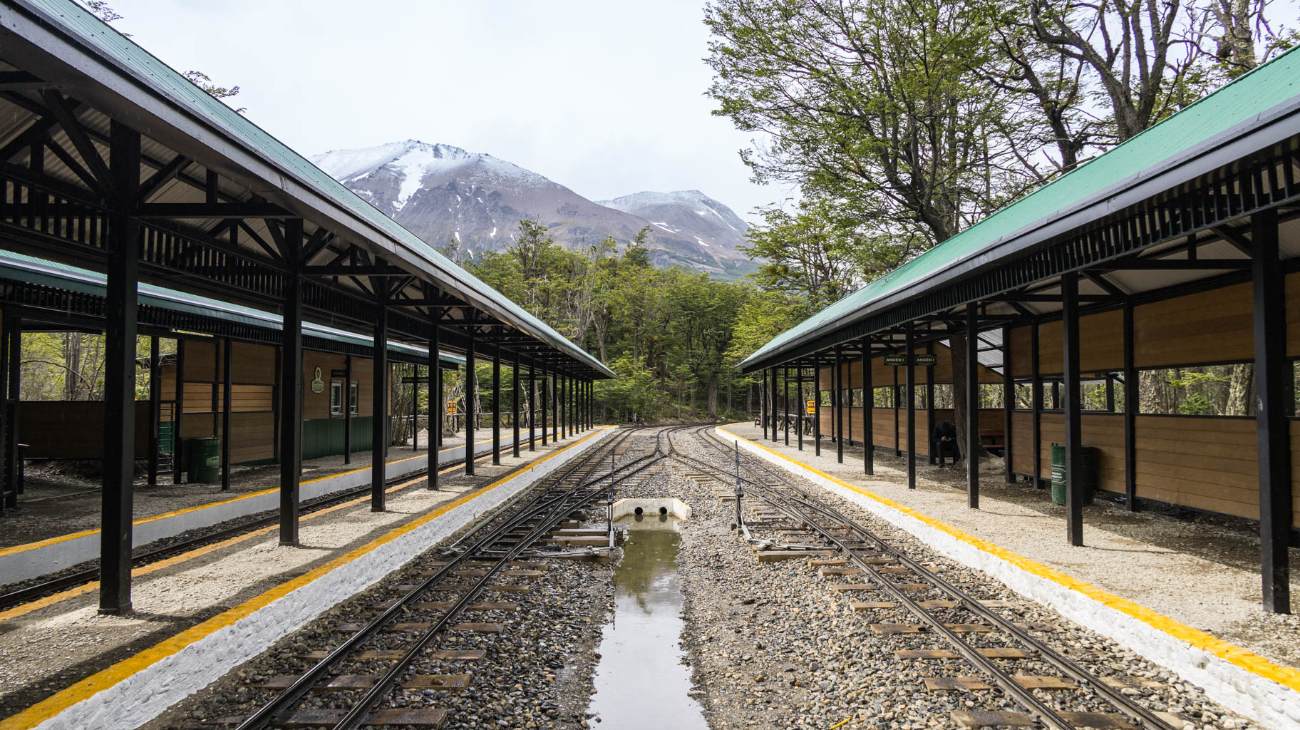
On the way back, we stop by a few points, including Mirador Lago Roca, the Virgen de Lujan chapel, a small post office on a pier over the lake, where you can buy and send a postcard (unfortunately, it is closed), a station that looks like an abandoned railway station, and near the park gate, the main train station, from which the tourist train departs four to five times a day. The scenic train route runs along lakes and reaches the station we visited, and then turns back. The whole trip lasts 1 hour and 45 minutes and costs $60 per person.
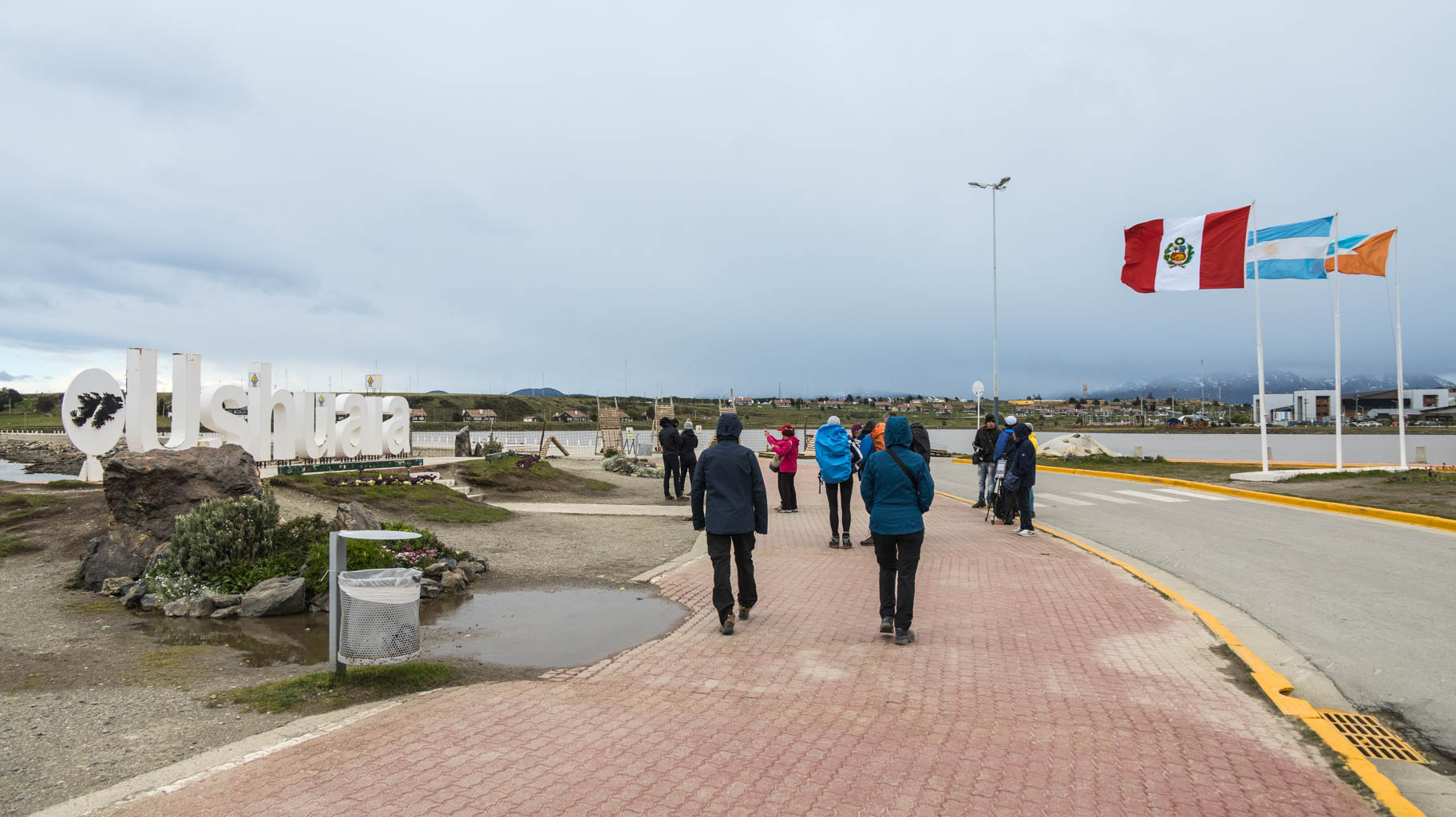
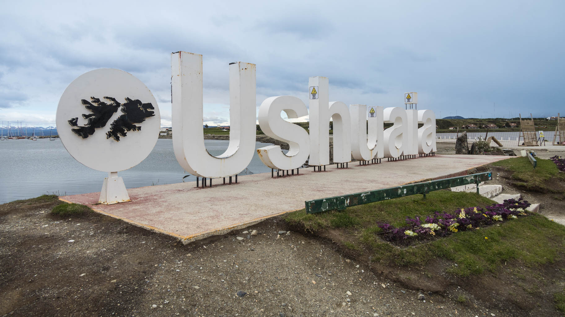
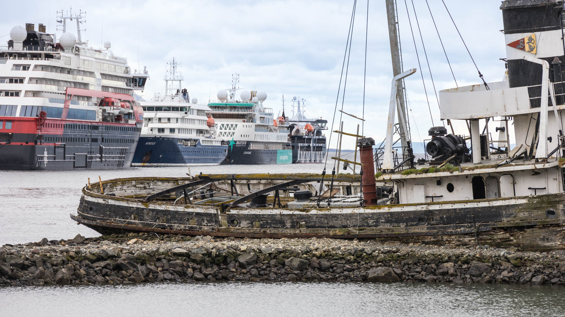
From the park, we head to the city's coastline, where there are several attractions, including a marina, a port for large ships, a monument to soldiers who fought for the Falklands, and the Ushuaia sign.
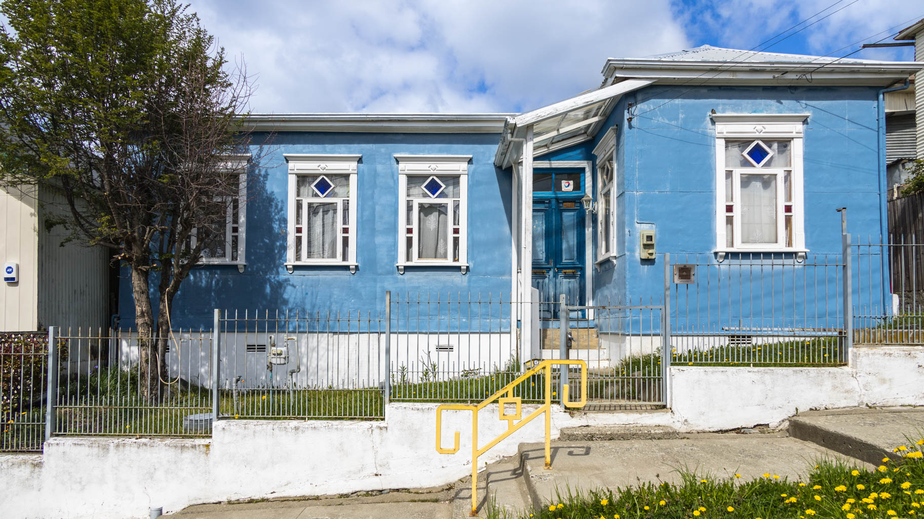
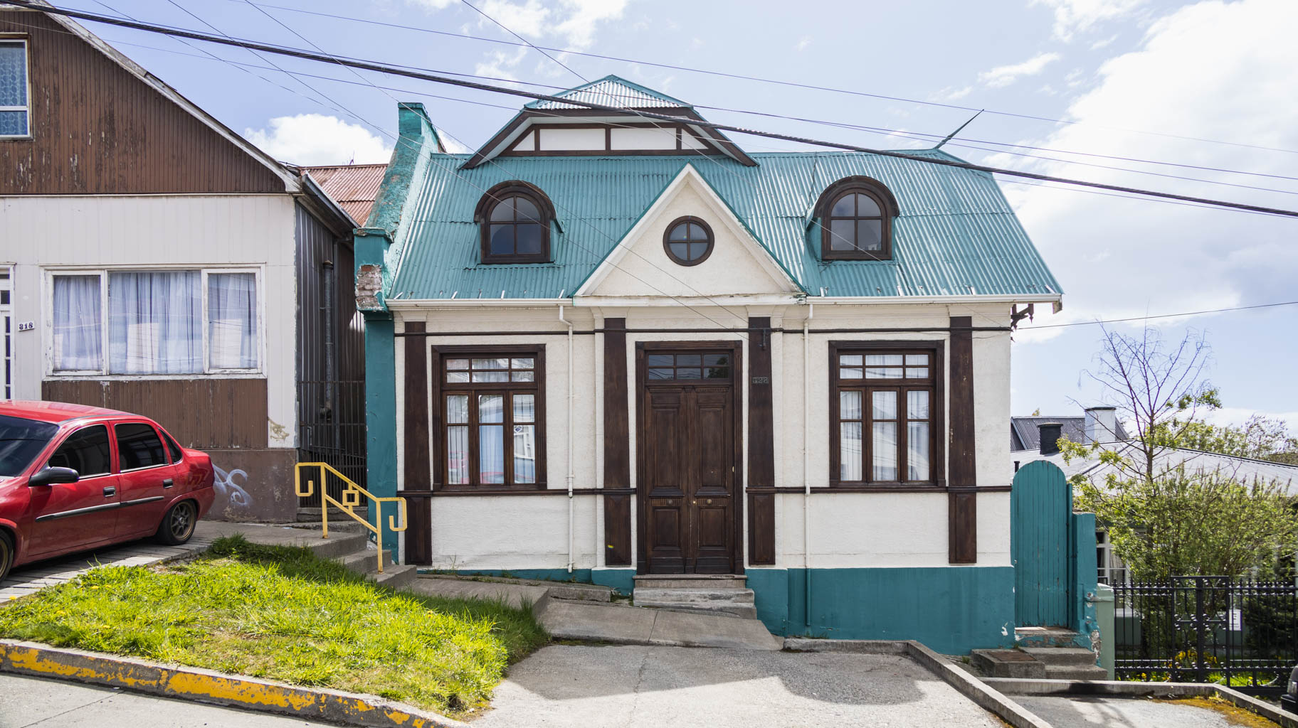
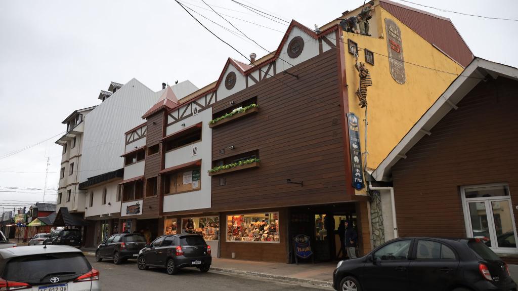
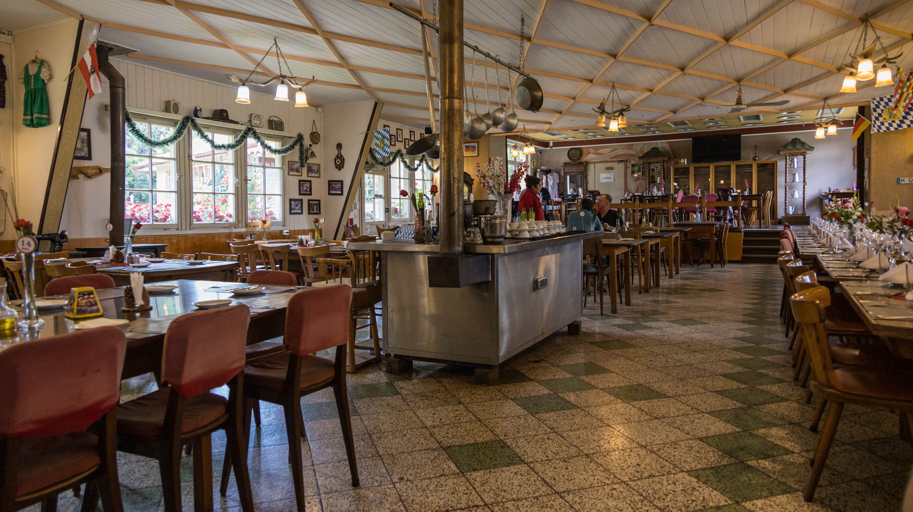
Then we take a walk around the city center, which at times looks like part of Germany, and the German language can often be heard here.
Due to the poor weather and biting cold, we quickly finish our tour and return to our apartment.
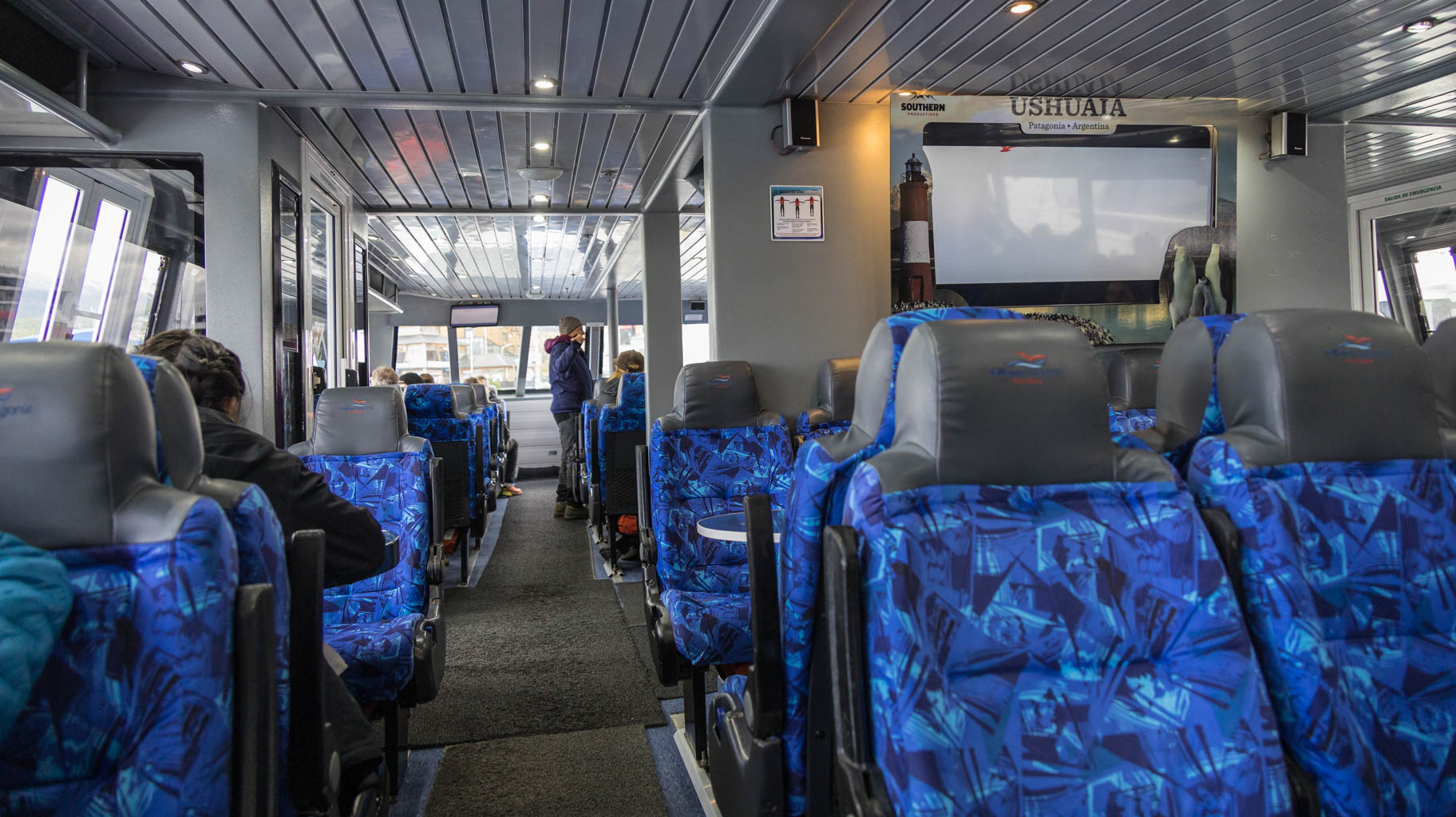
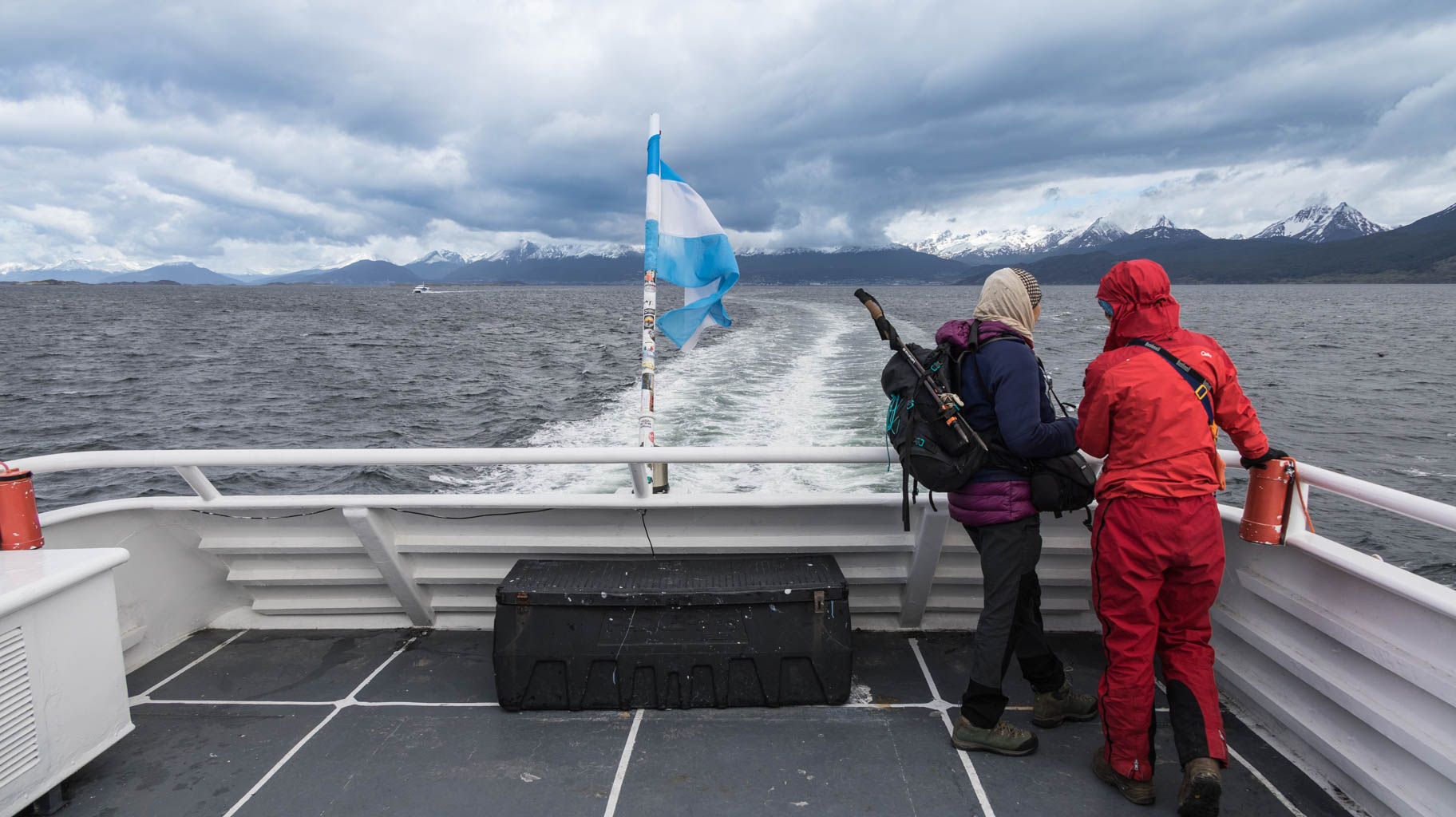
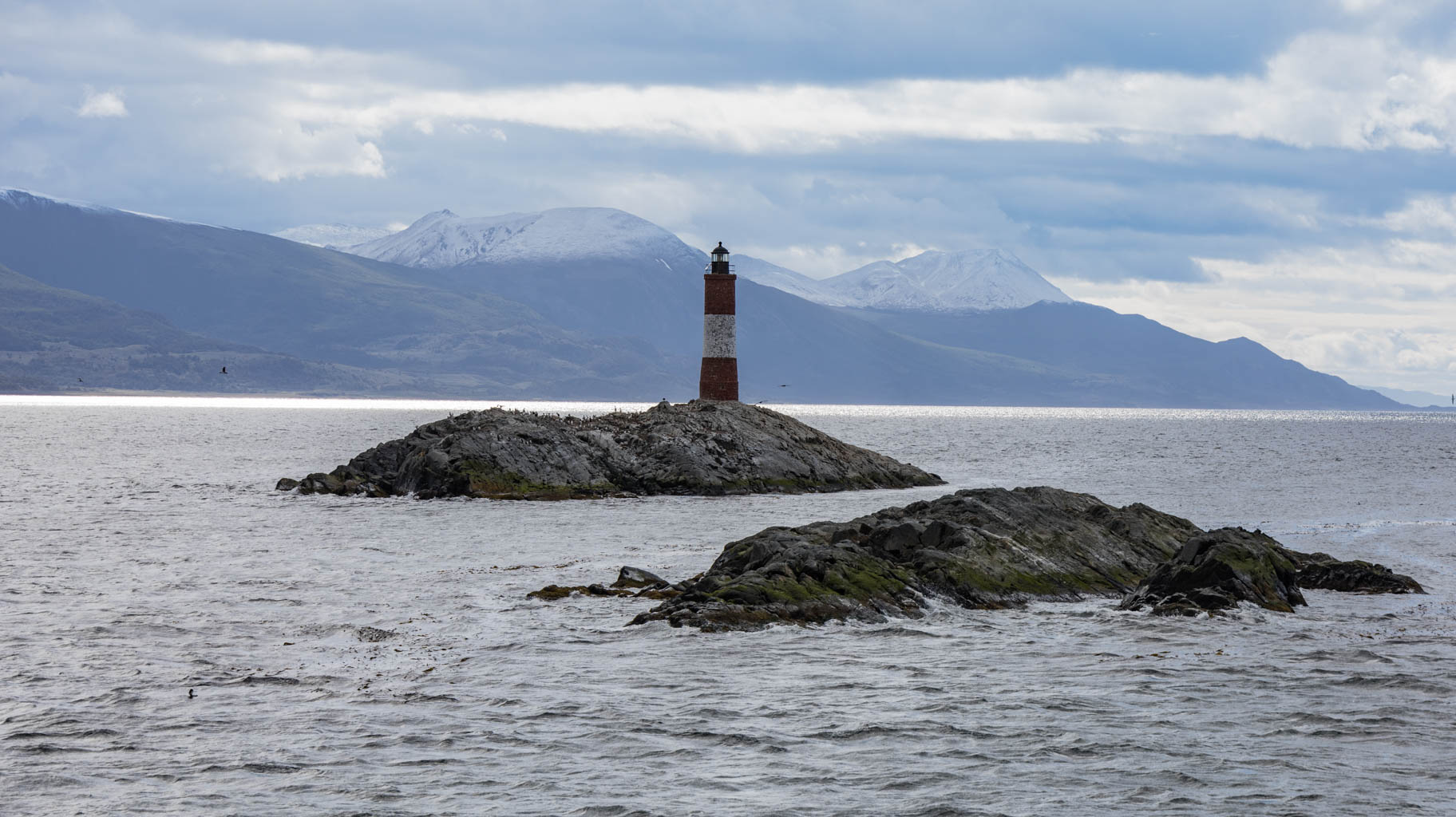
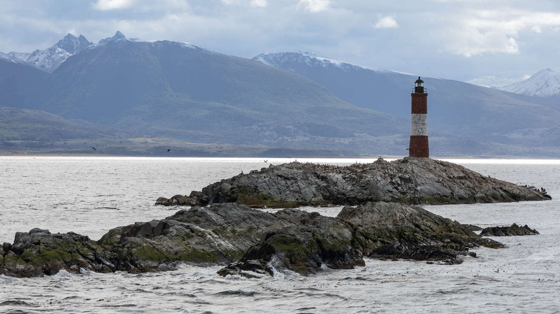
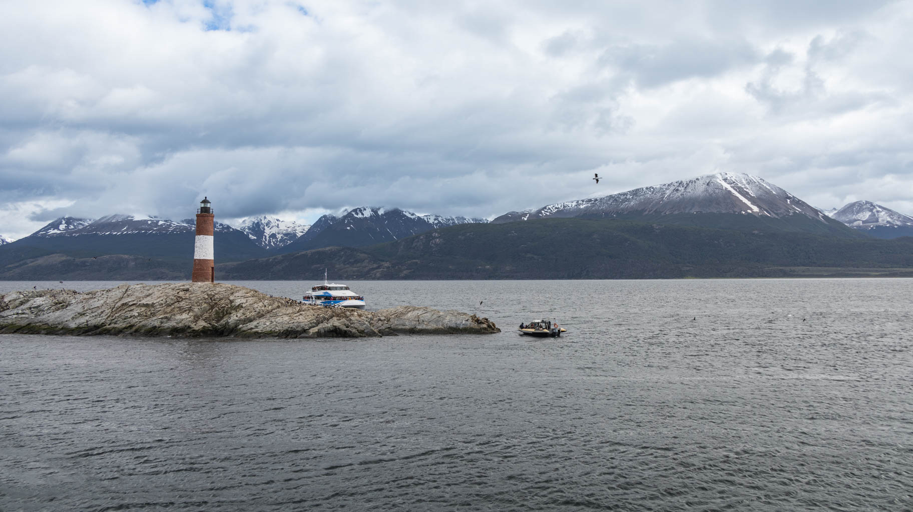
At 9:00 AM, we start the Beagle Channel cruise.
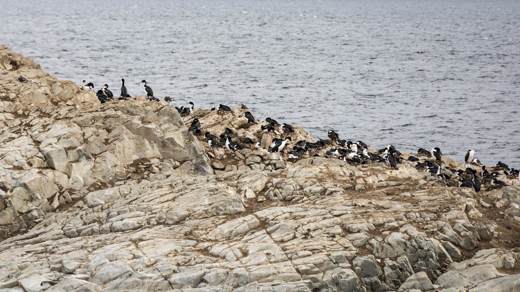
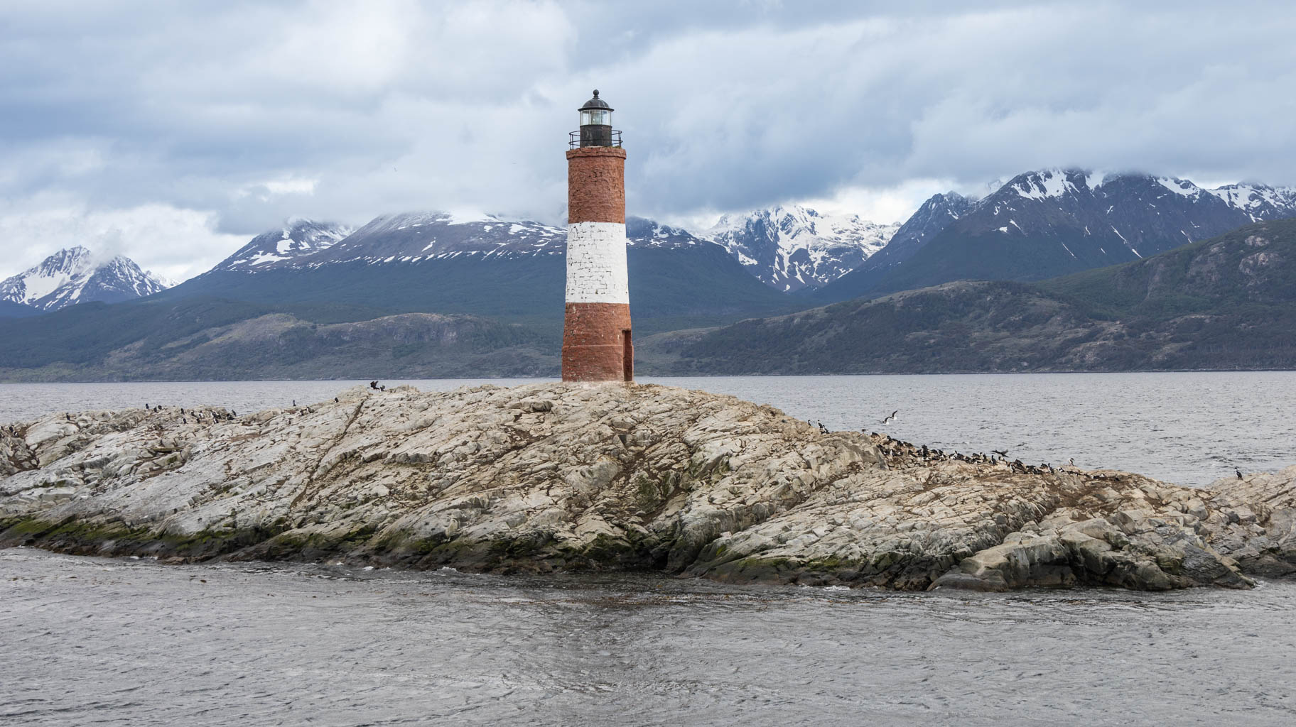
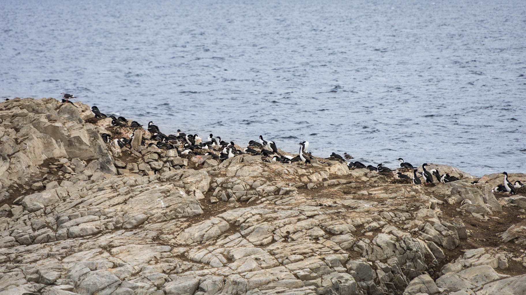
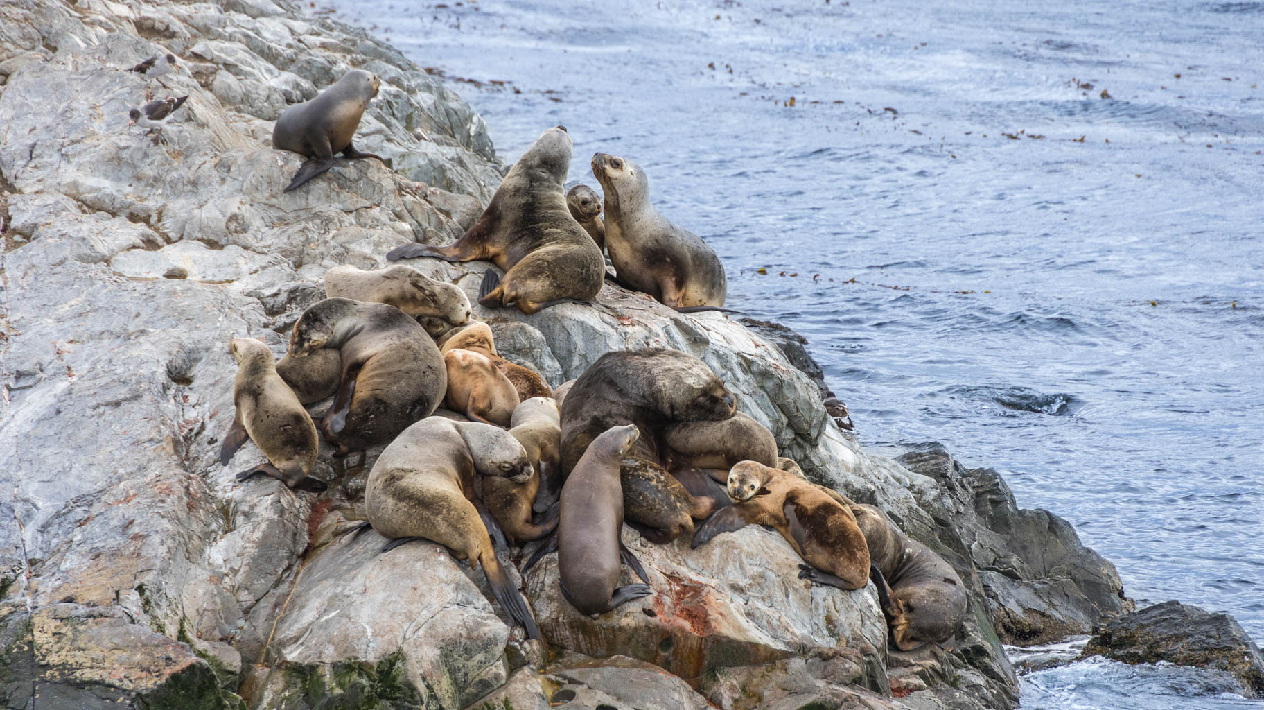
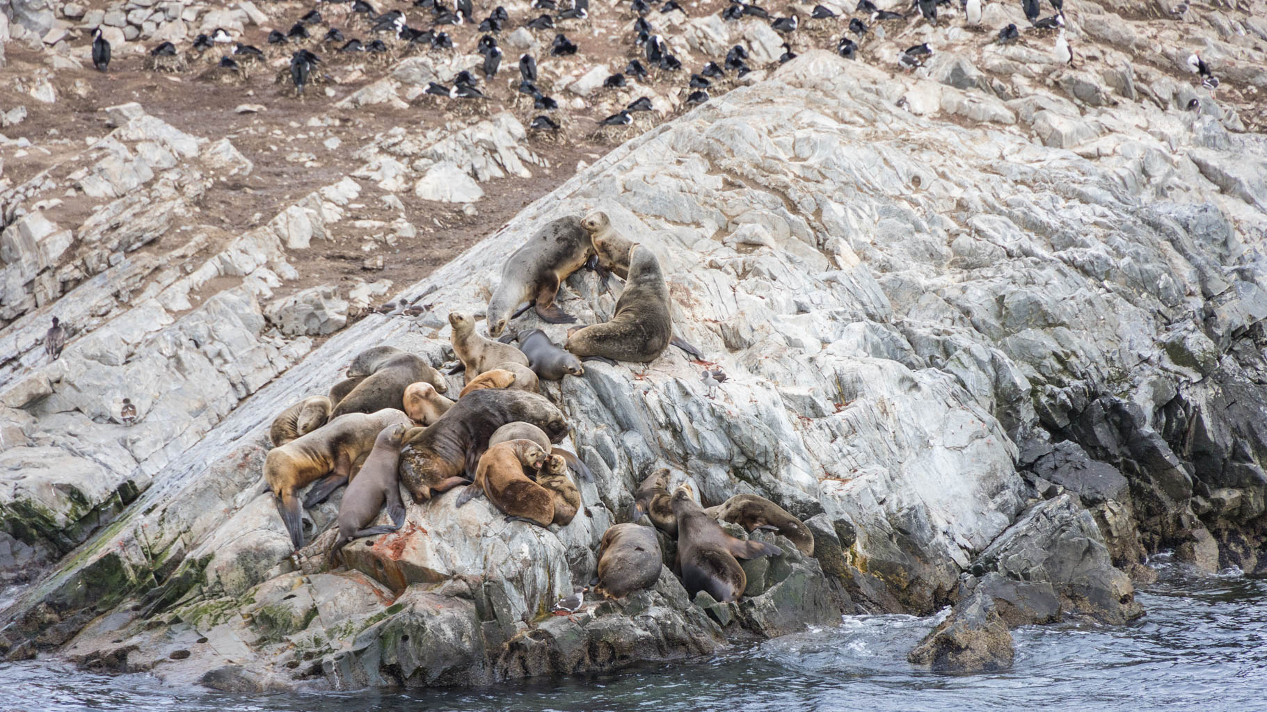
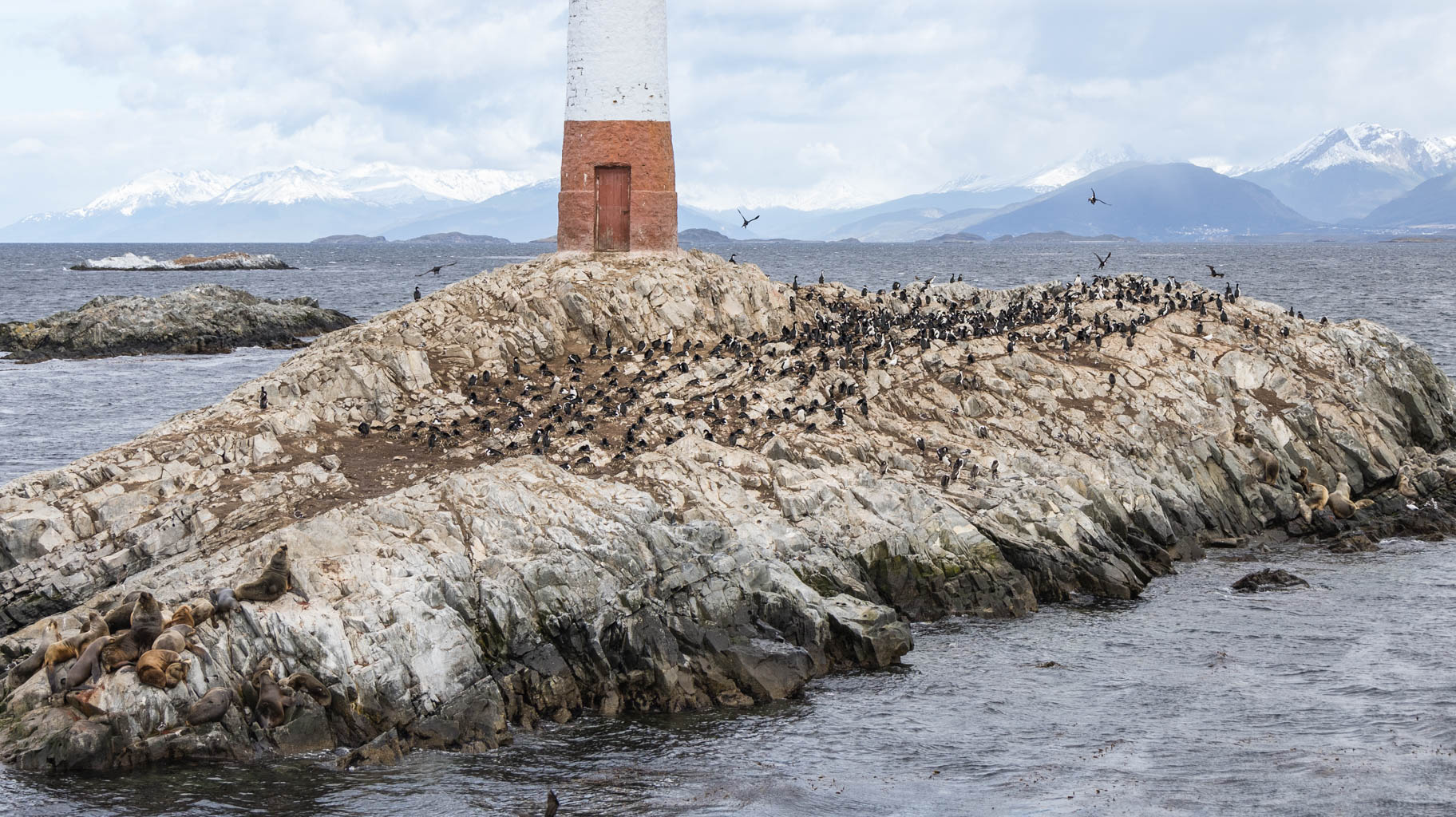
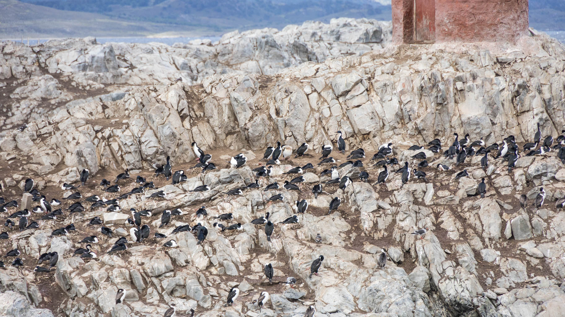
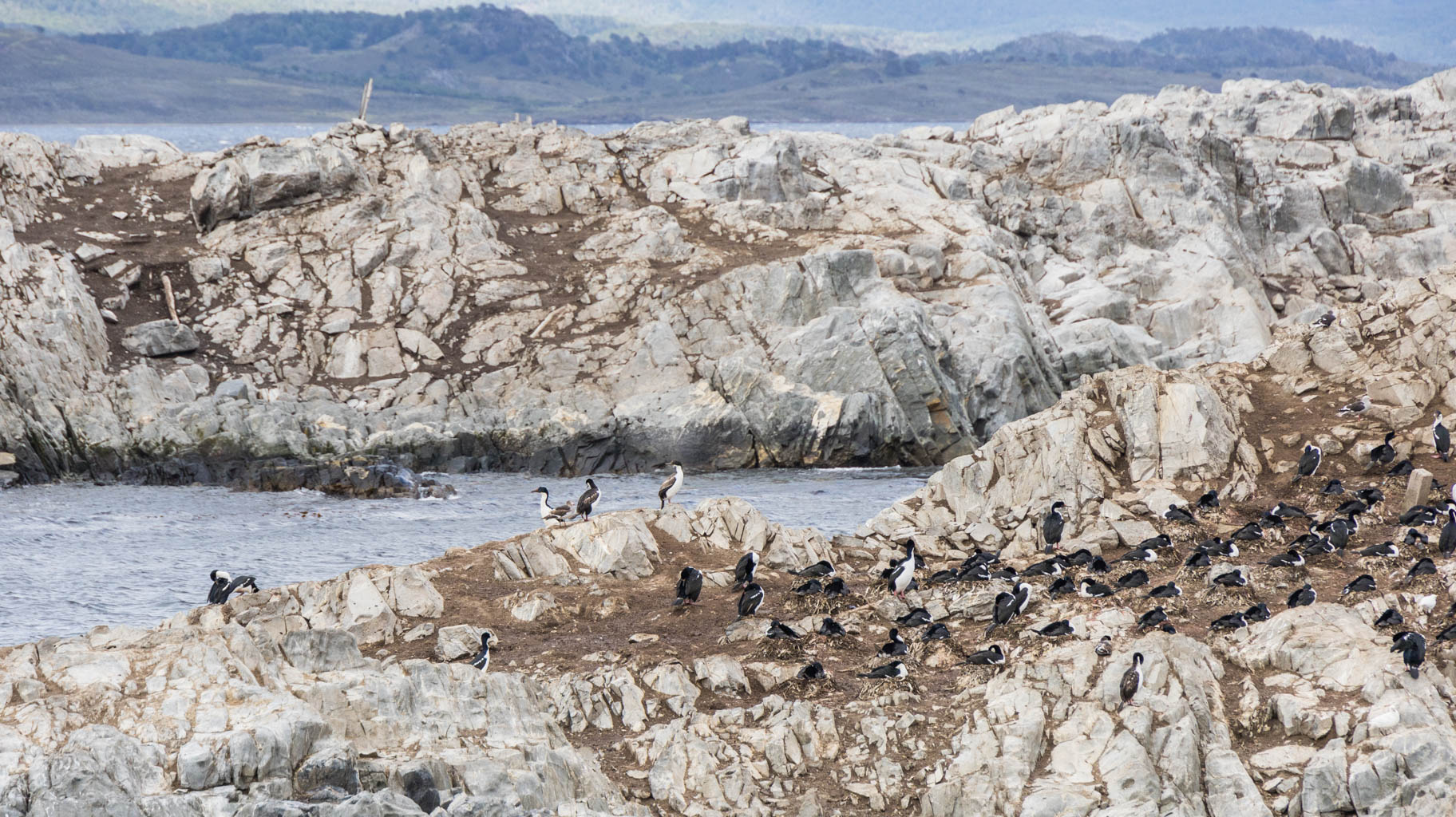
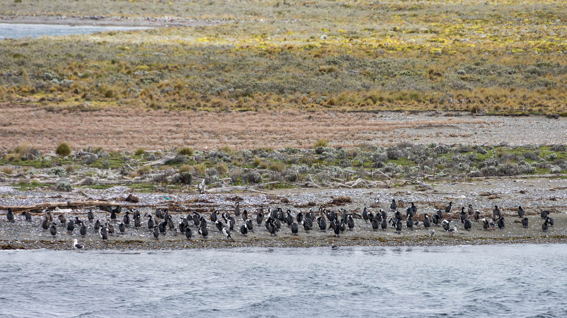
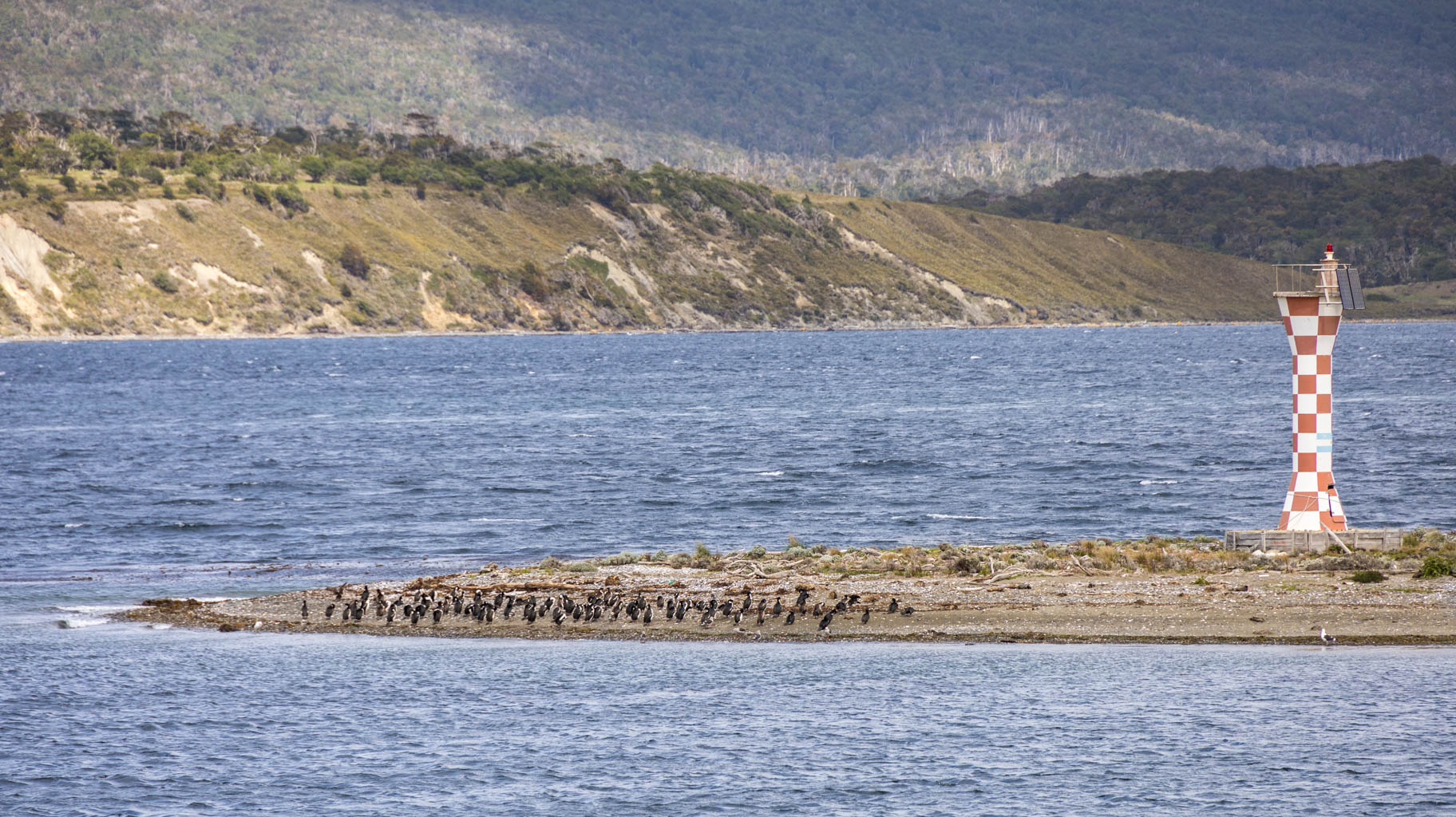
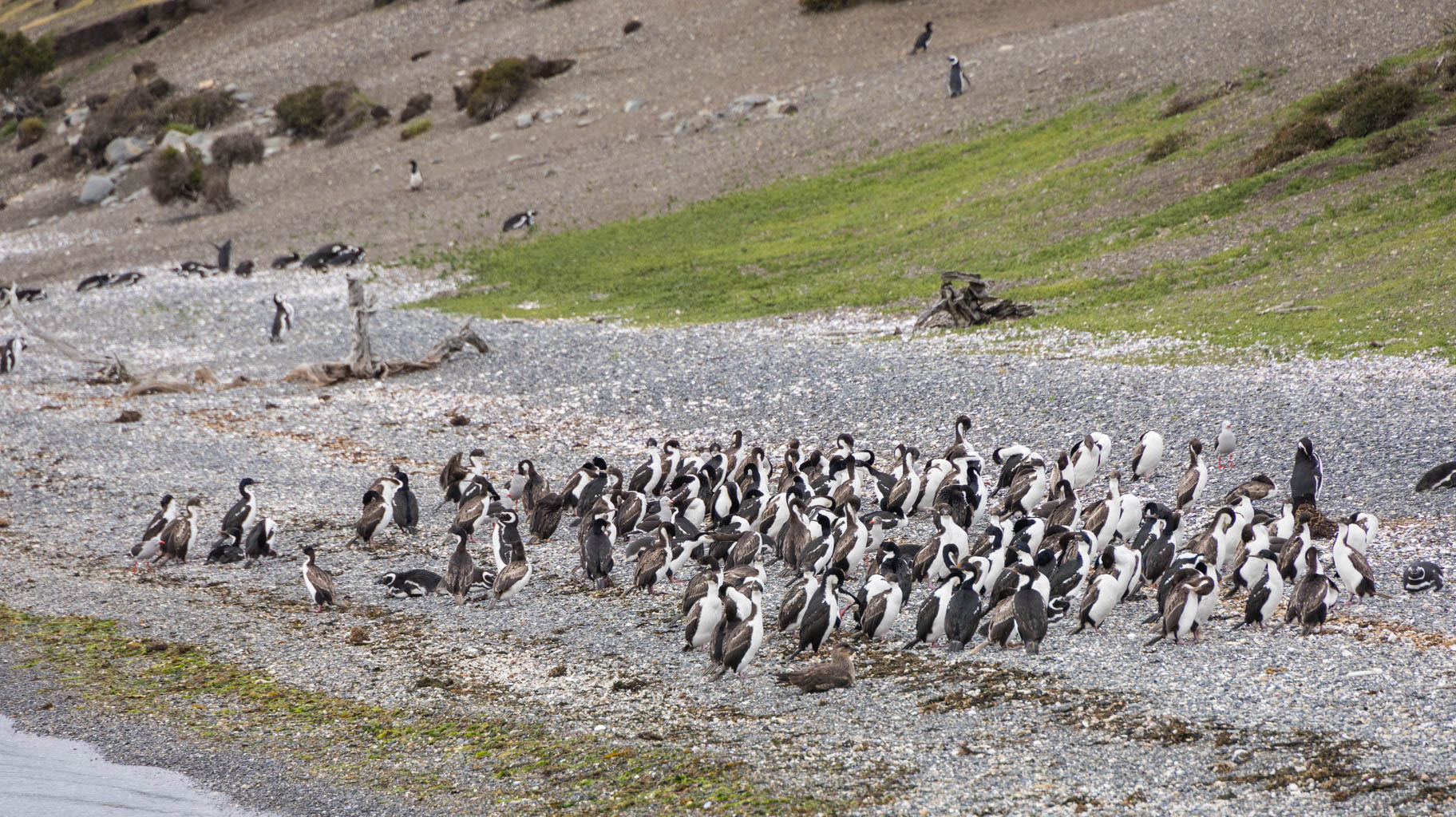
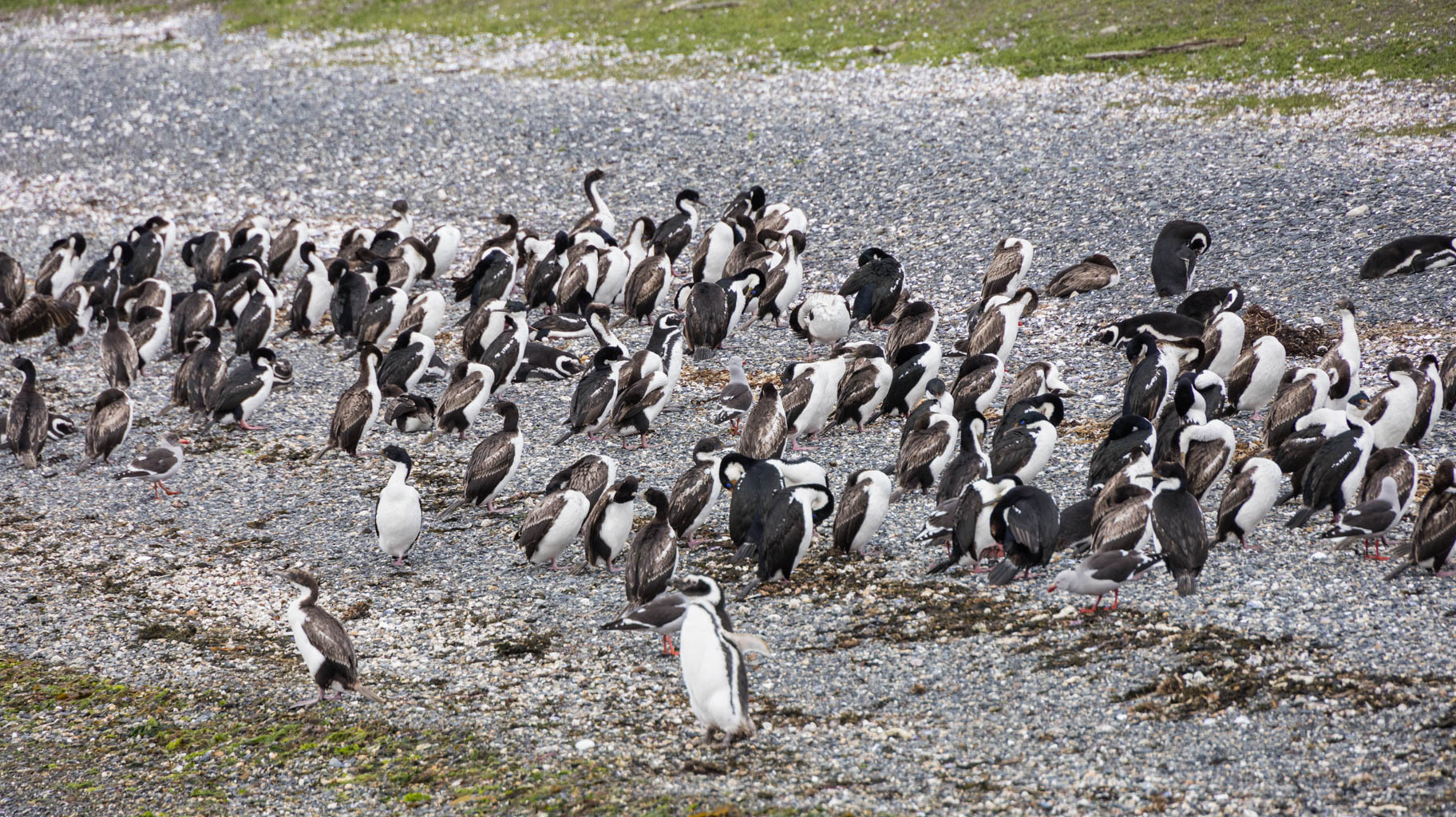
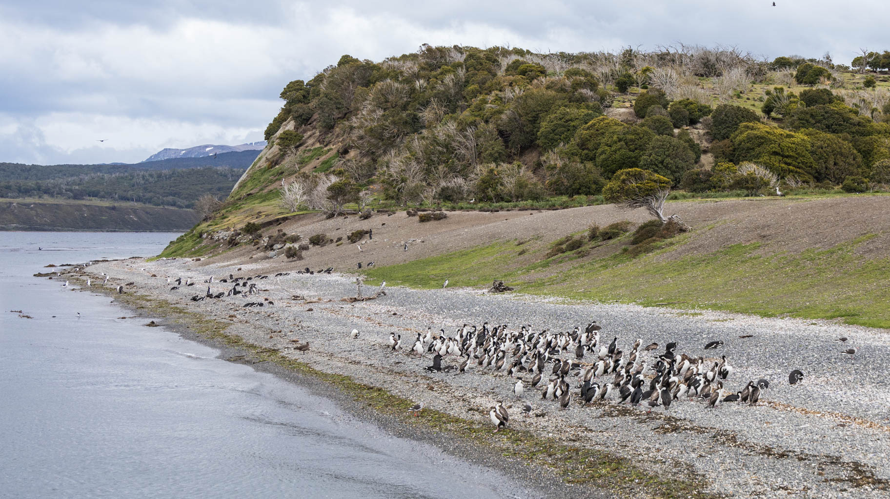
We begin by sailing to Faro Les Éclaireurs, a lighthouse on one of the nearby islets, where there is a large colony of cormorants and sea lions. We get within a few dozen meters of them.
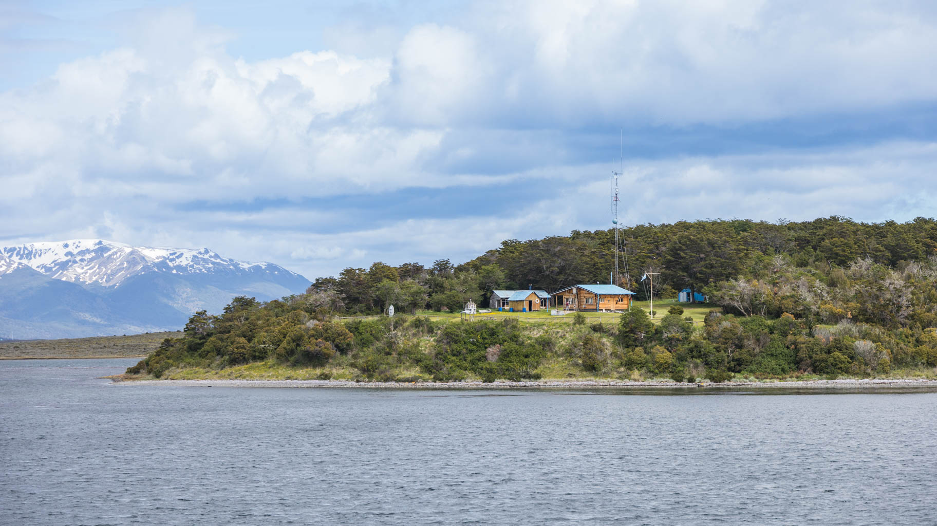
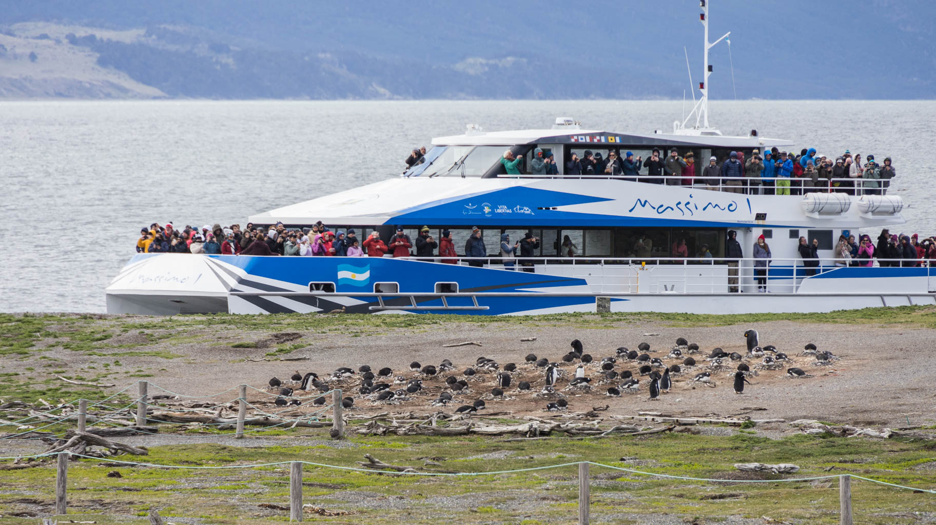
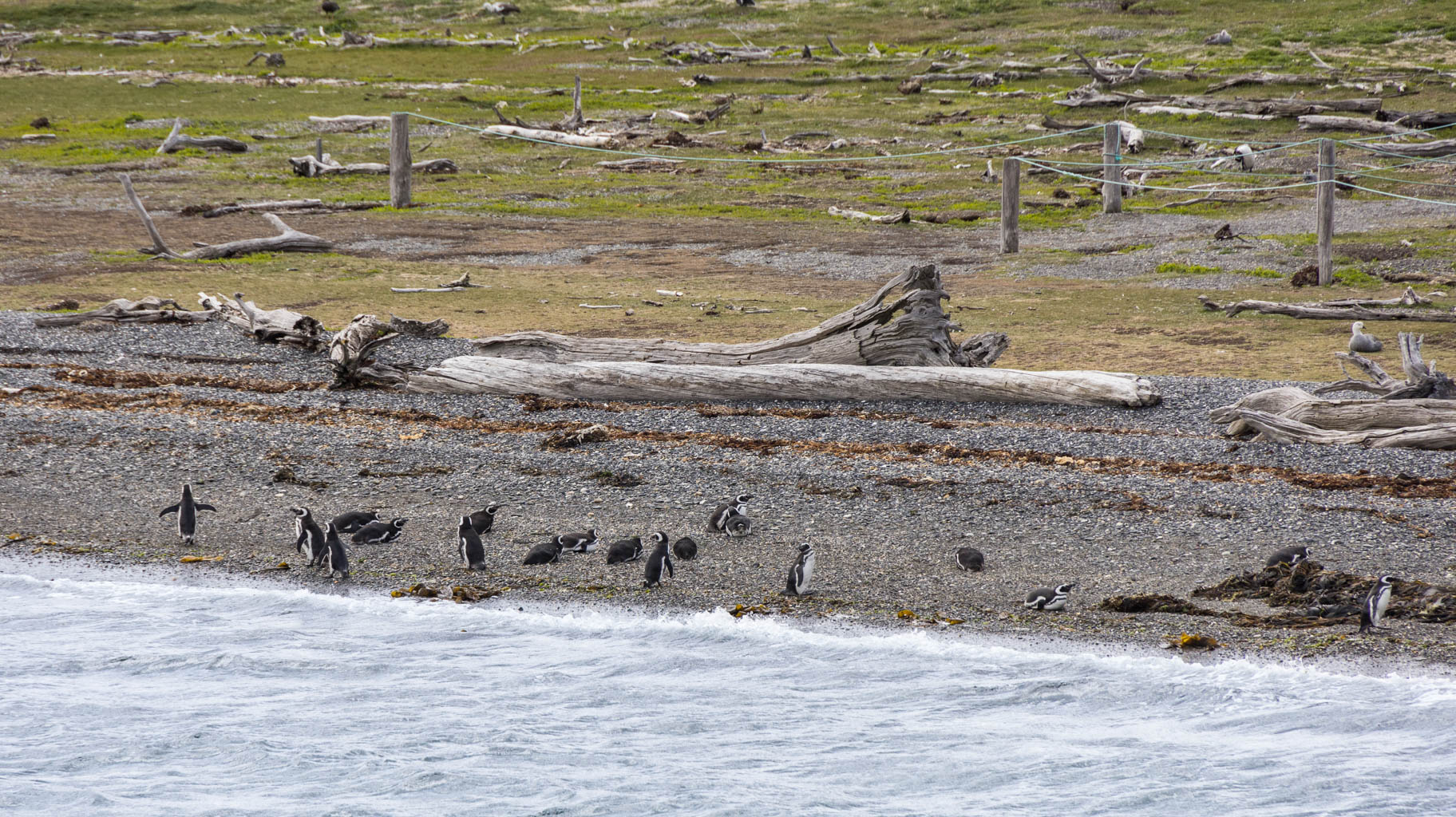
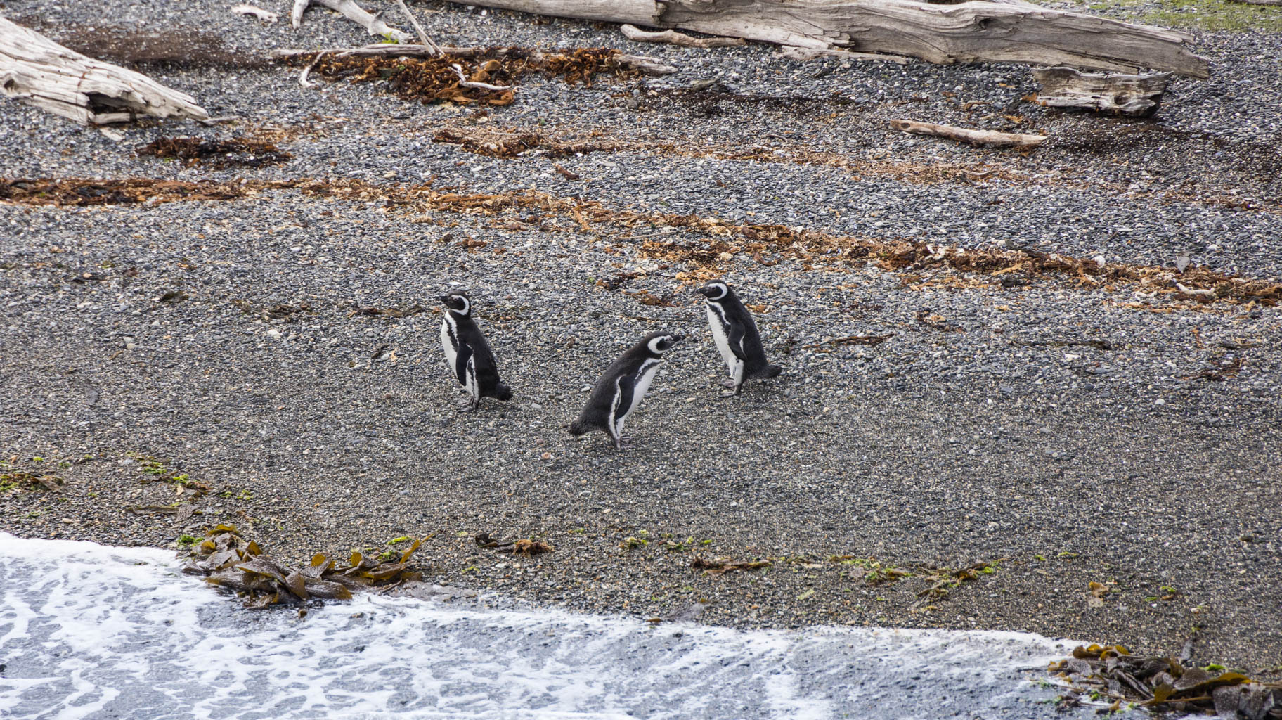
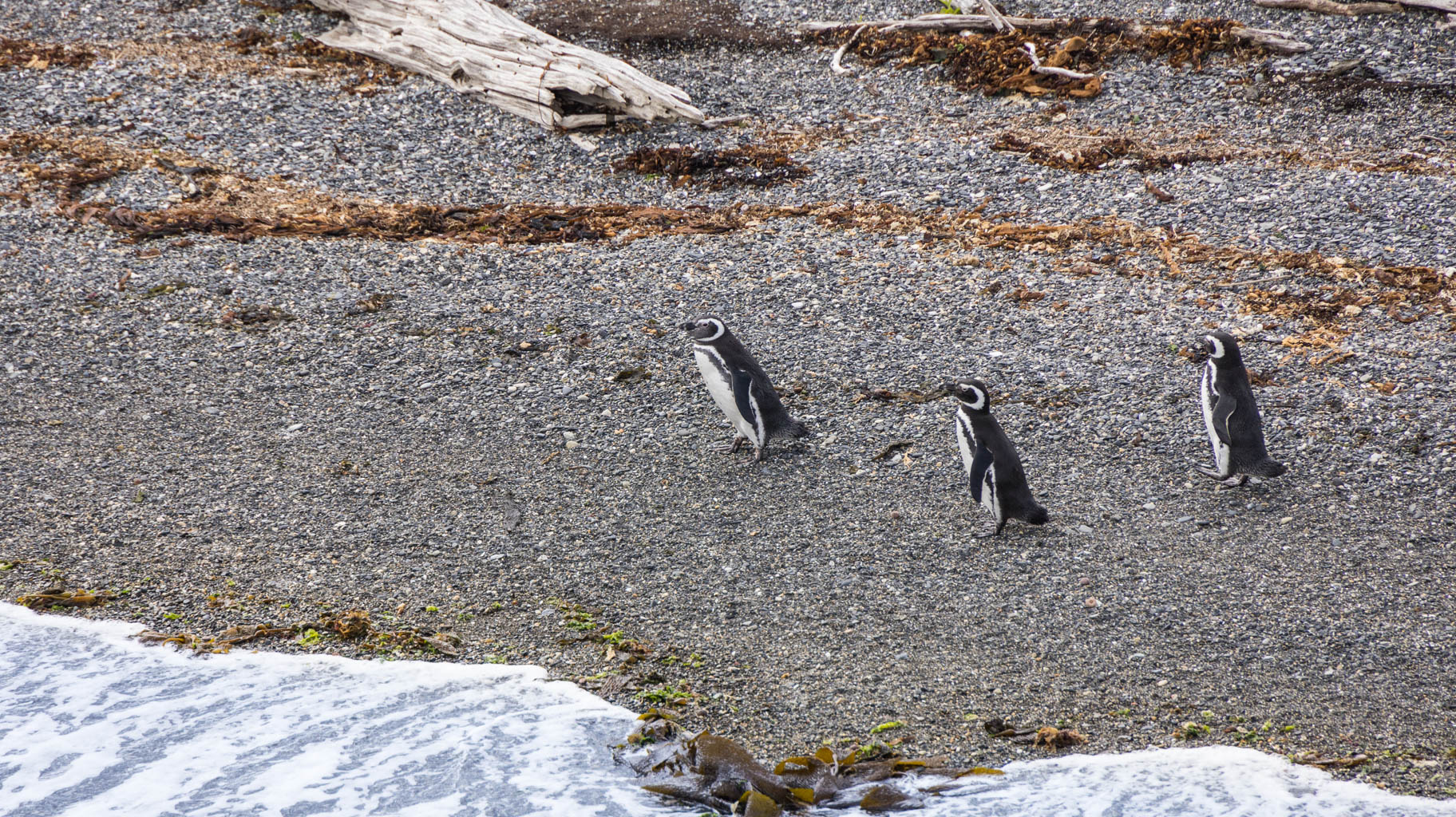
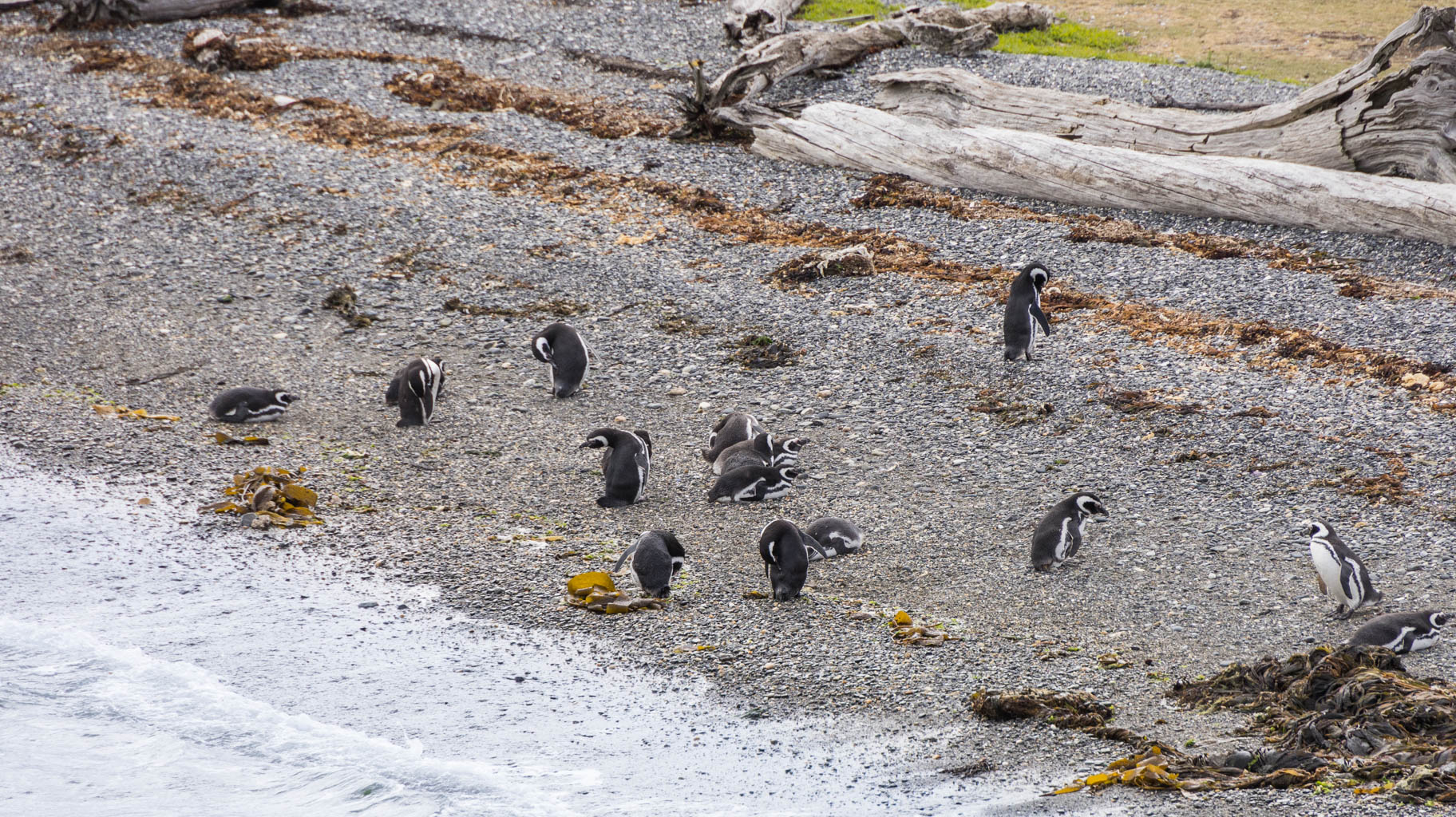
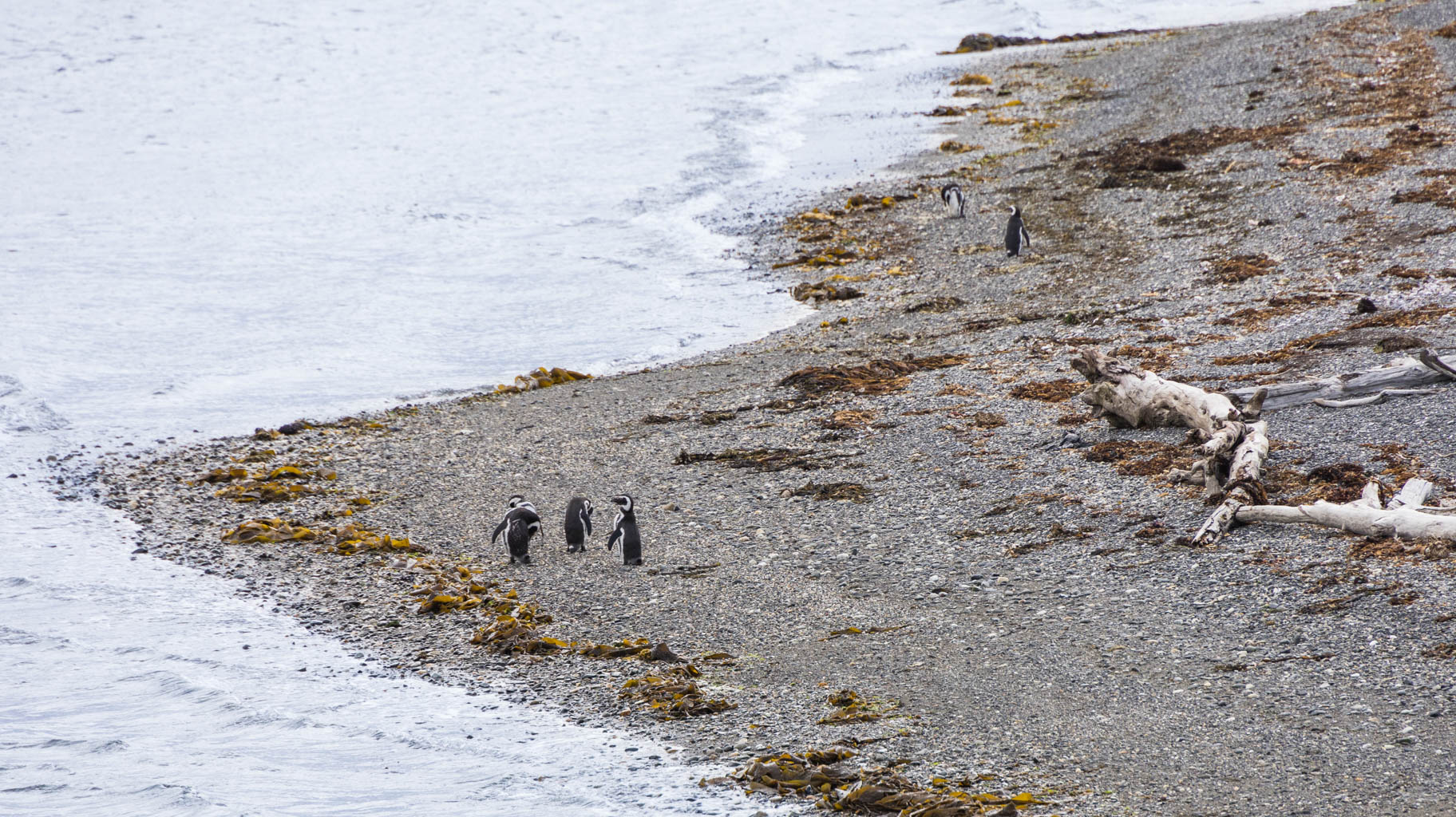
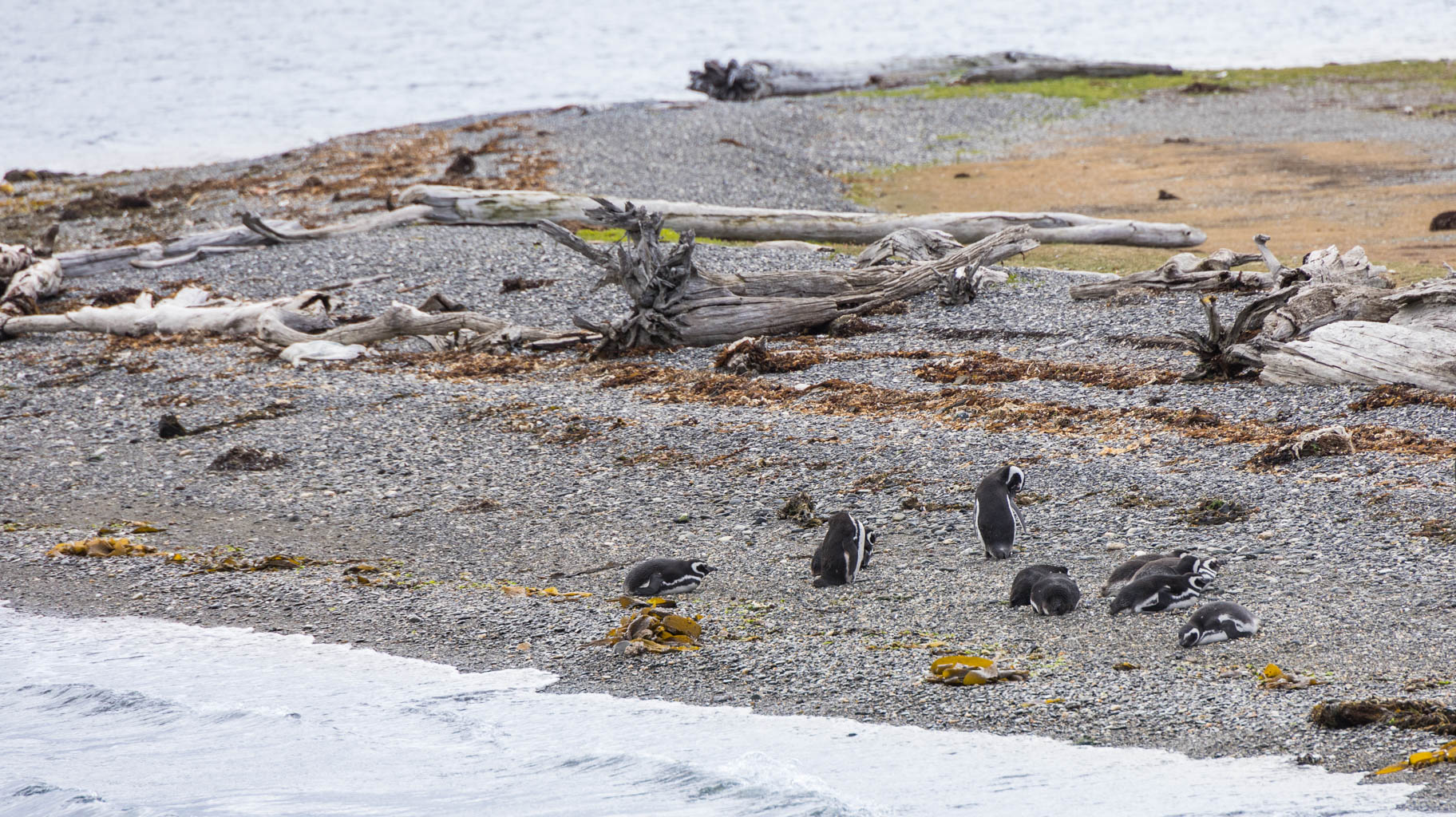
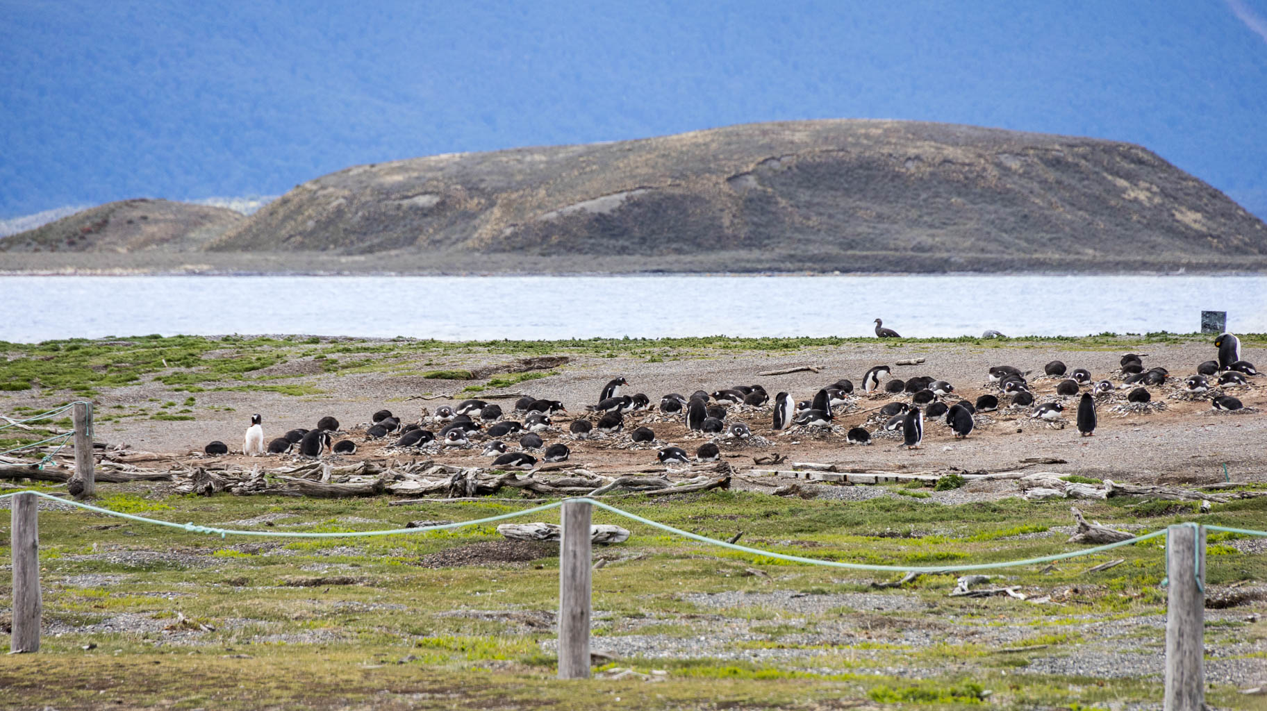
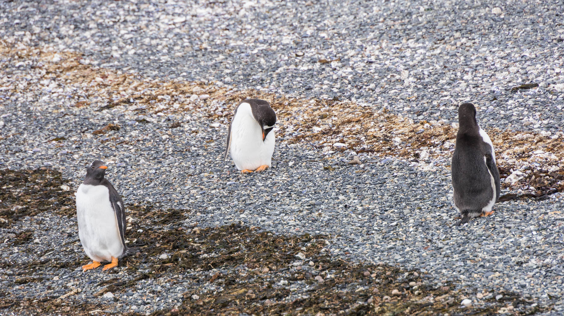
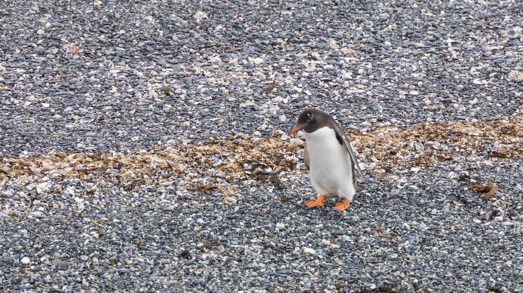
We pass Puerto Williams and head to the main attraction - Isla Martillo (Hammer Island), where there is a large group of penguins, and we get within just a few meters of a few of them. The penguins leave a huge impression on us.
On the way back, with over two hours of free time, we chat with other people on board, including a couple from Buenos Aires, Argentina. We learn that Argentinians and Chileans don’t get along, which has a historical basis, as Argentina remains in conflict with Great Britain over the Falklands, and Chile is their ally and at the same time an adversary of Argentina. Both countries also fiercely compete with each other in soccer.
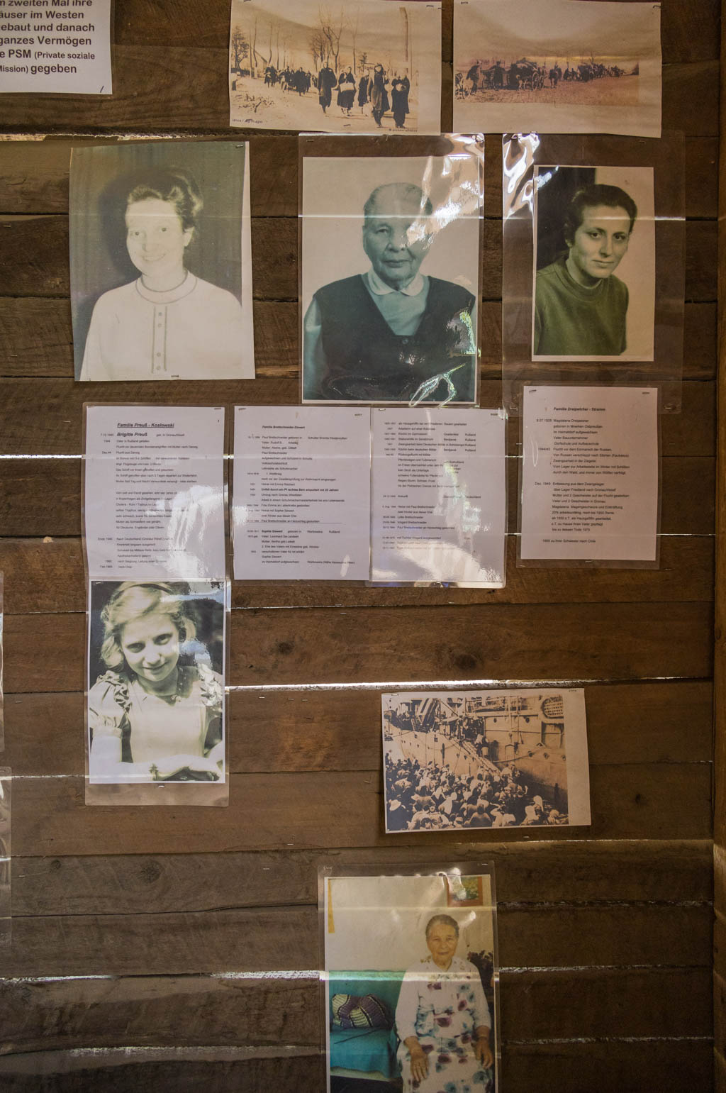
We also learn that Ushuaia and El Calafate have a large German and Swiss community, which is why there is so much German architecture there. It is no secret that many Germans fled to Argentina at the end of World War II.
On the catamaran, we also meet a few girls from Poland who, like us, are traveling independently across Argentina.
The cruise ends before 3:00 PM, and we begin the long drive to Punta Arenas. Driving over 800 kilometers takes us nearly 10 hours.
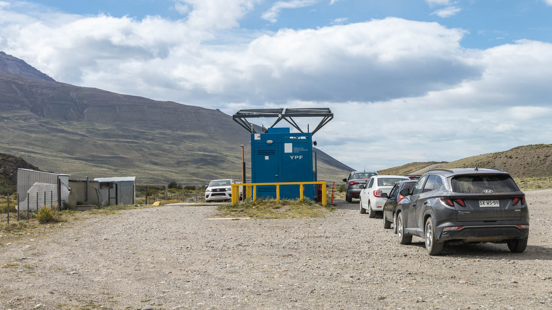
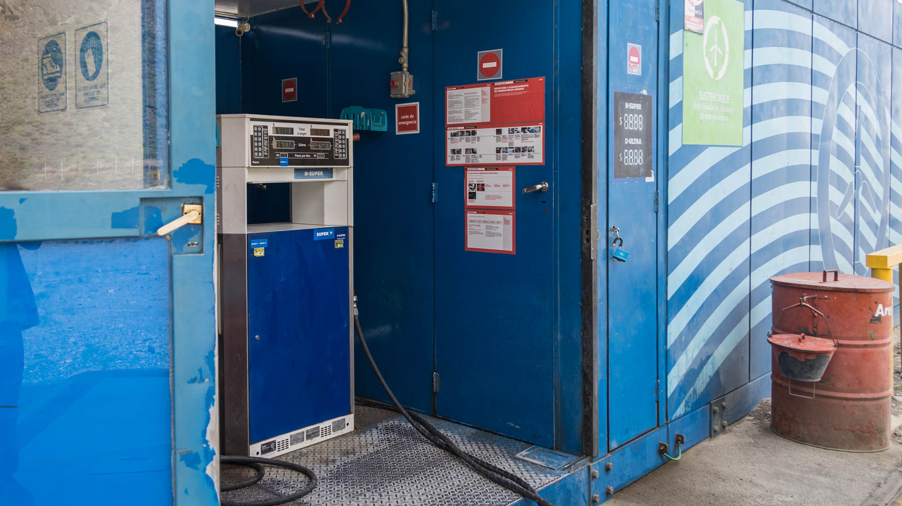
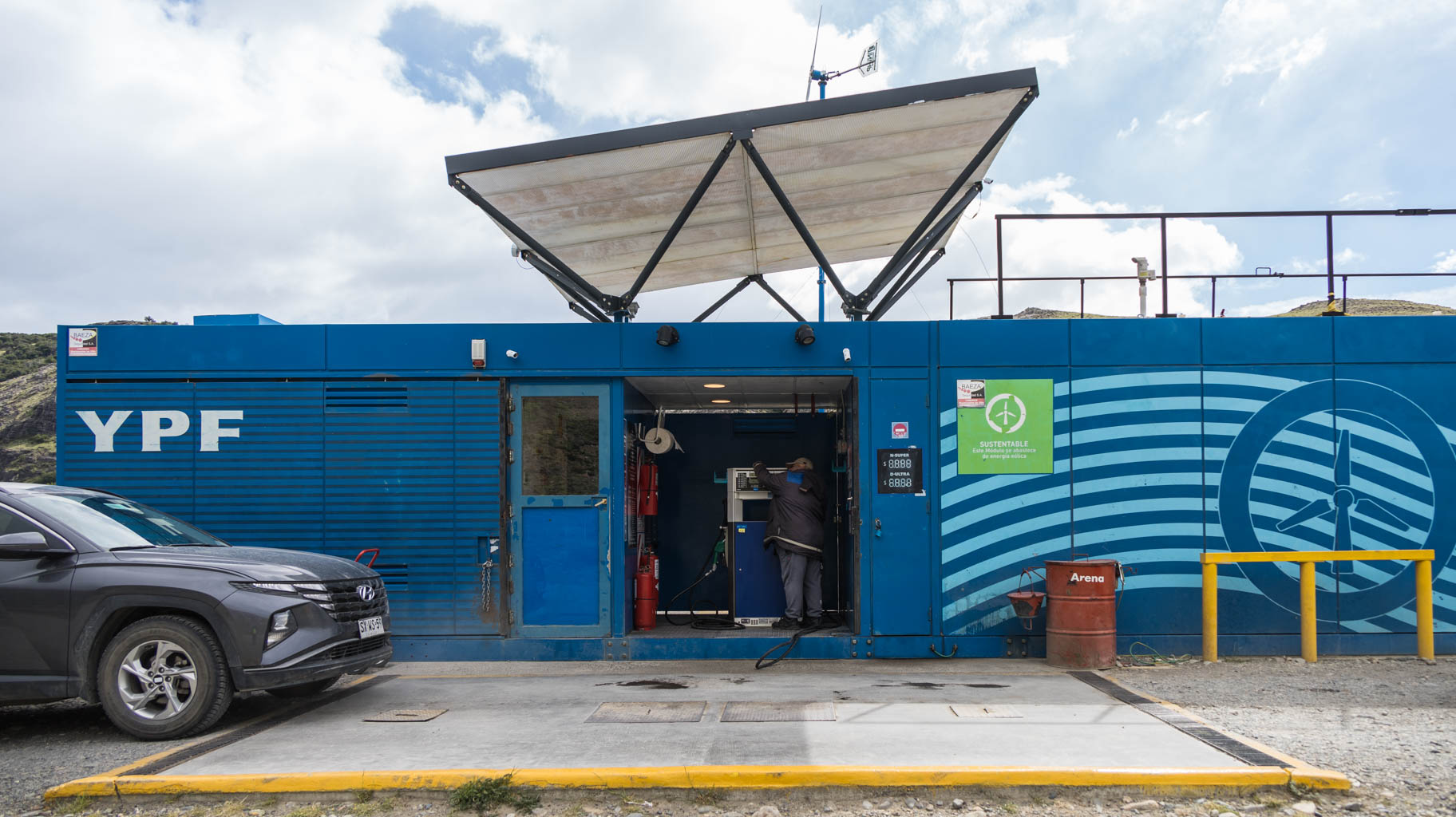
The drive doesn’t go without adventure, as there are very few gas stations here, and sometimes the distance between them is up to 150 km. We’re unlucky, as the last gas station near the border is closed due to a power outage, with no clear indication of when it will be restored. The station worker tells us that power might come back in five minutes, a few hours, or even a few days.
We have enough fuel for about 90 km, and the nearest station in the direction we’re heading is 75 km away in the middle of nowhere. This means that if it is closed, which is a risk, we would be stranded. Therefore, we are forced to turn back over 80 km to Rio Grande, fill up, and then head back to the border.
Once again, we run low on fuel several hundred kilometers later, and all the gas stations are closed. When we finally reach the only open station before Punta Arenas, we have enough fuel to go another eight kilometers. Fortunately, the station is open 24/7, so we avoid having to spend the night in the car.

We’re beginning to feel the slight fatigue from the intensity of the trip, so today will be a much more relaxed day.
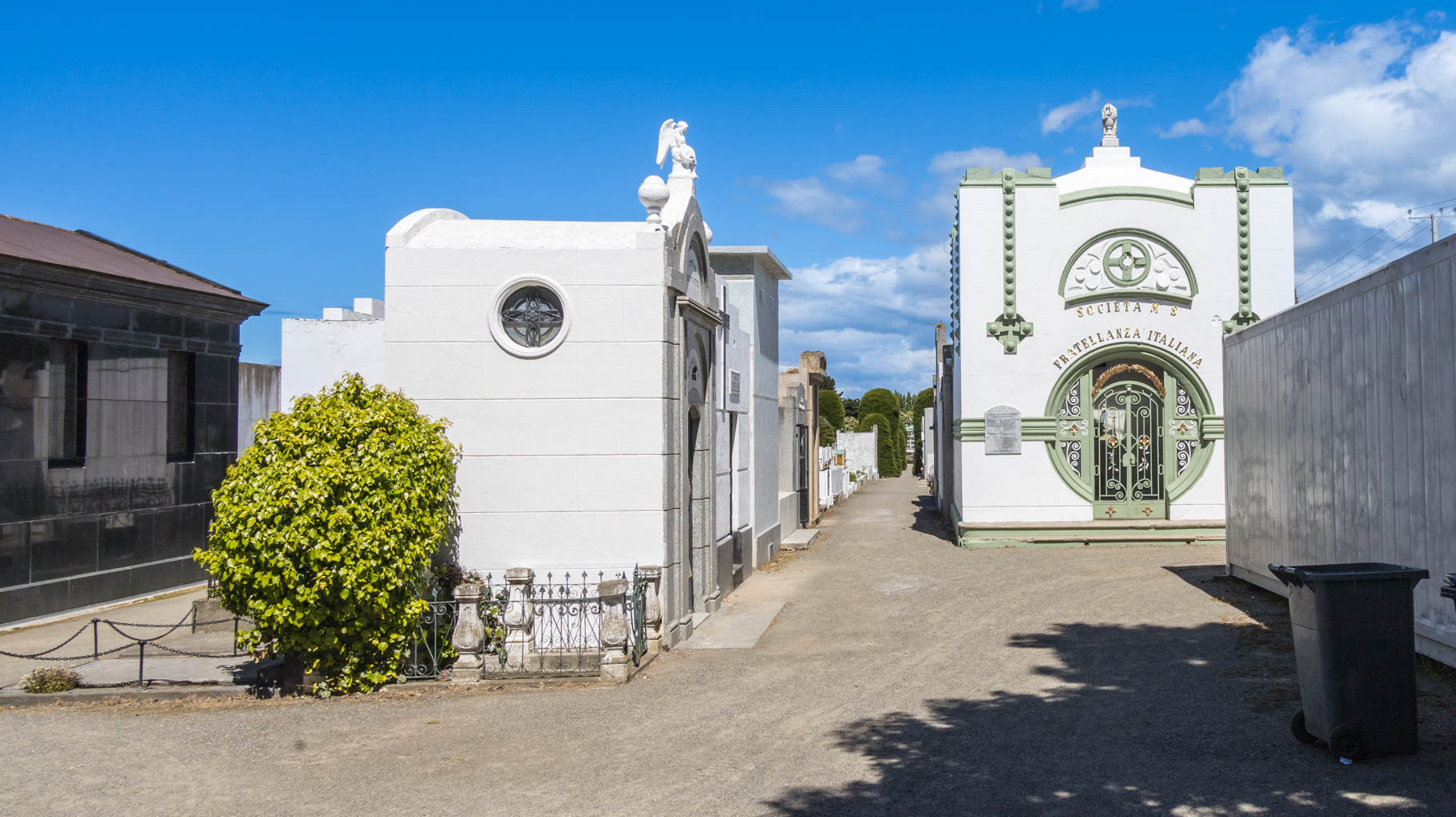
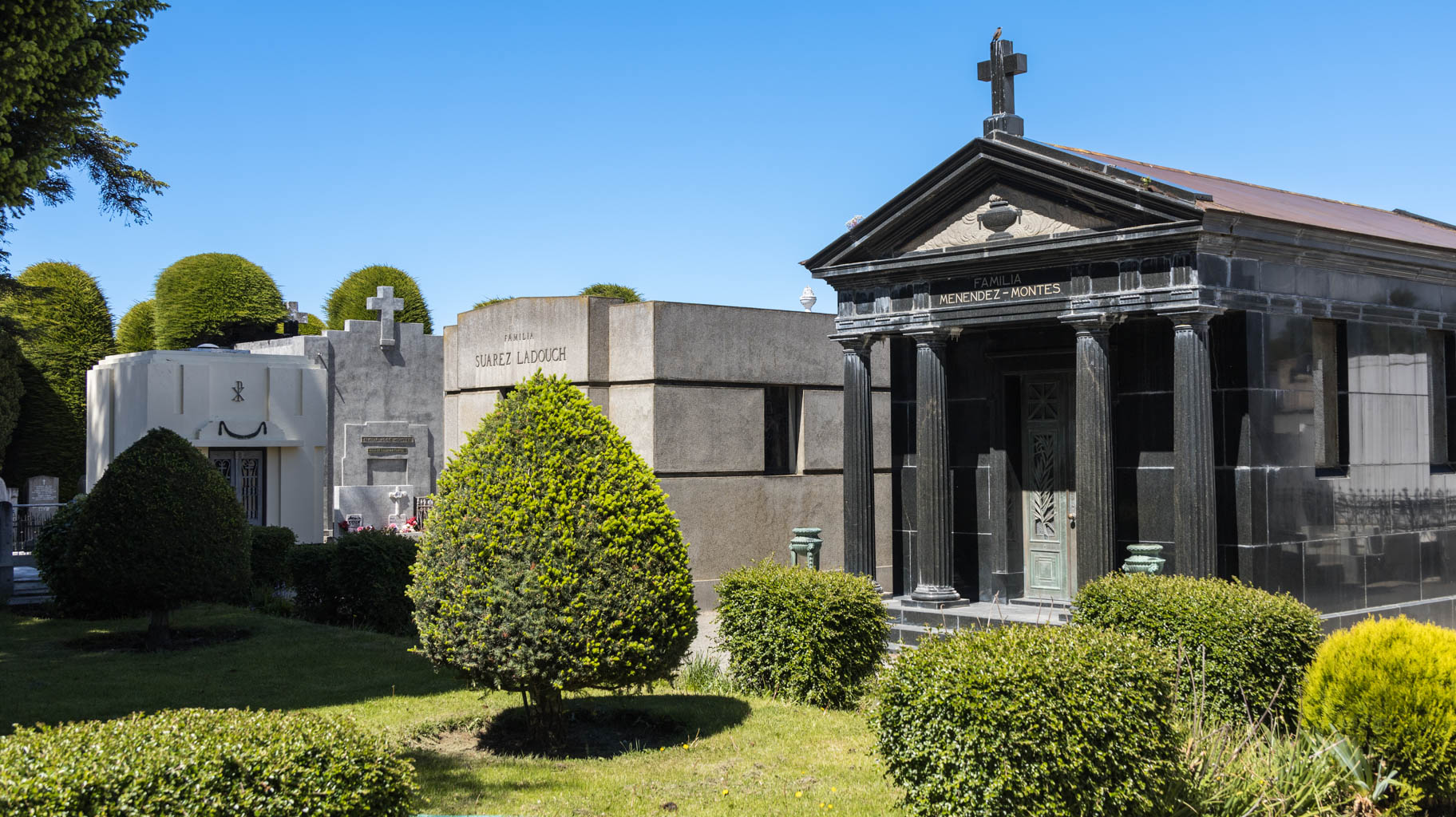
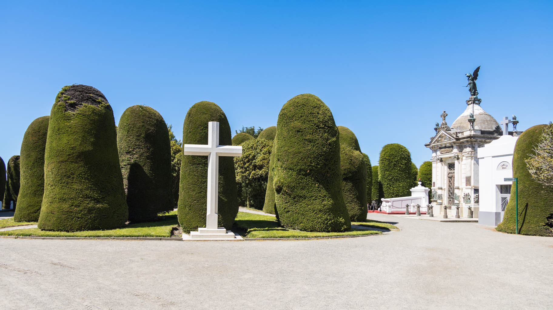
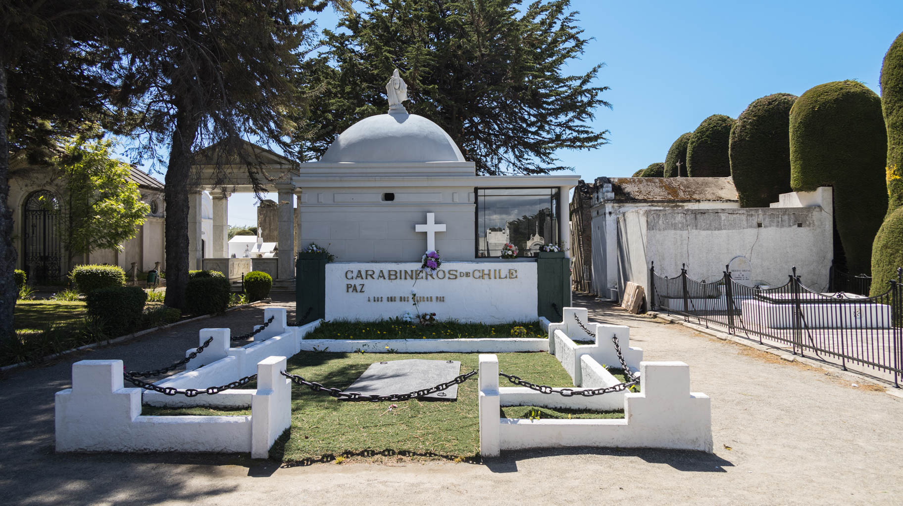
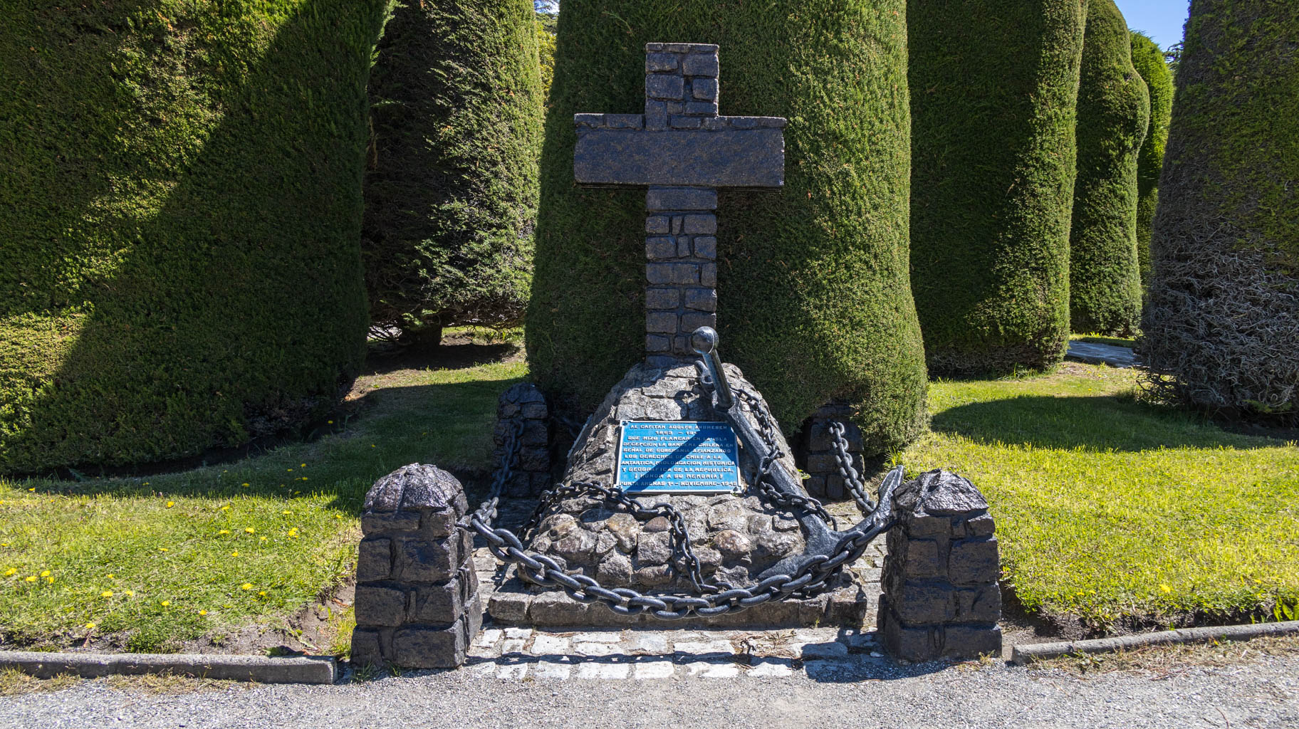
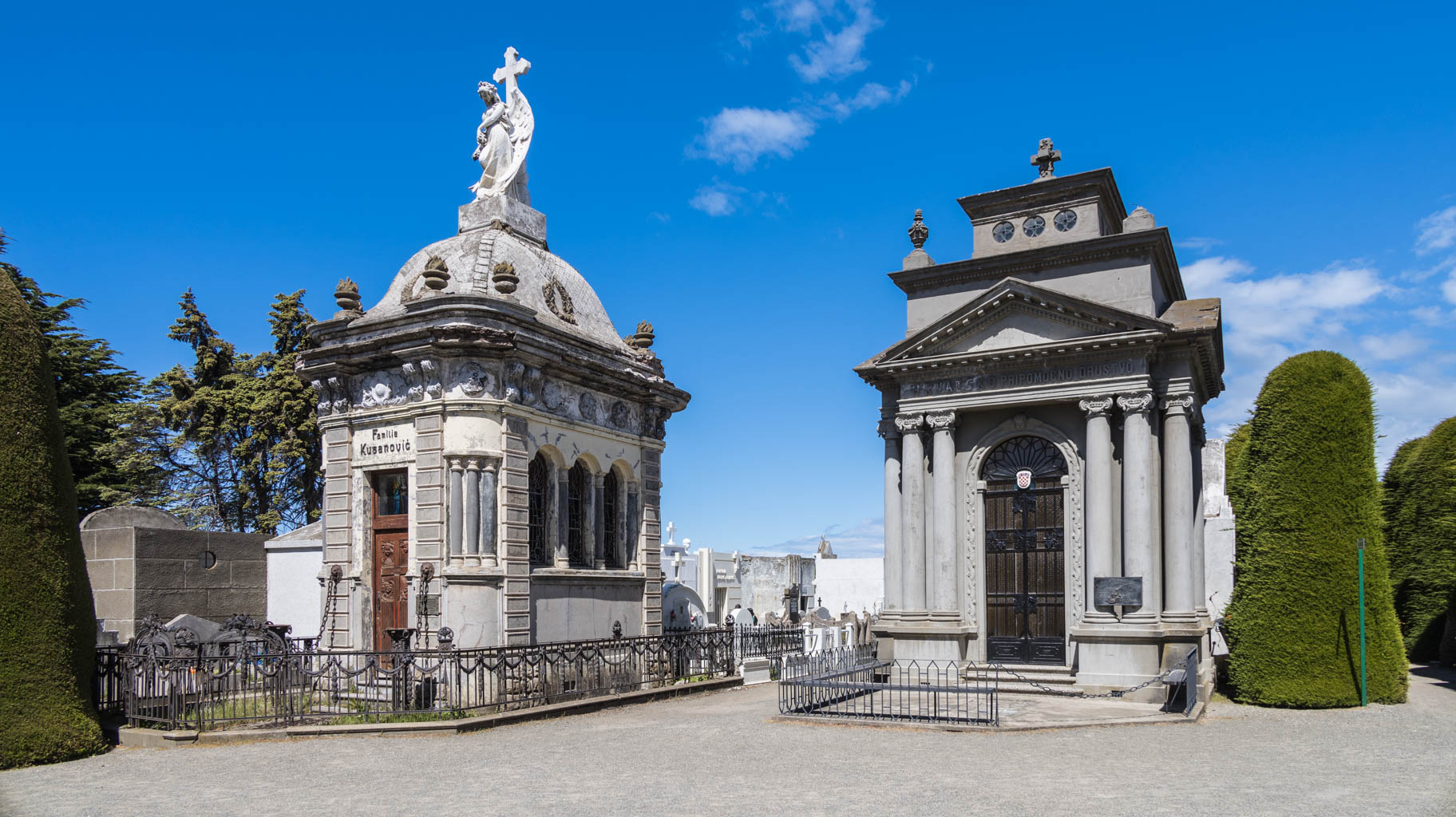
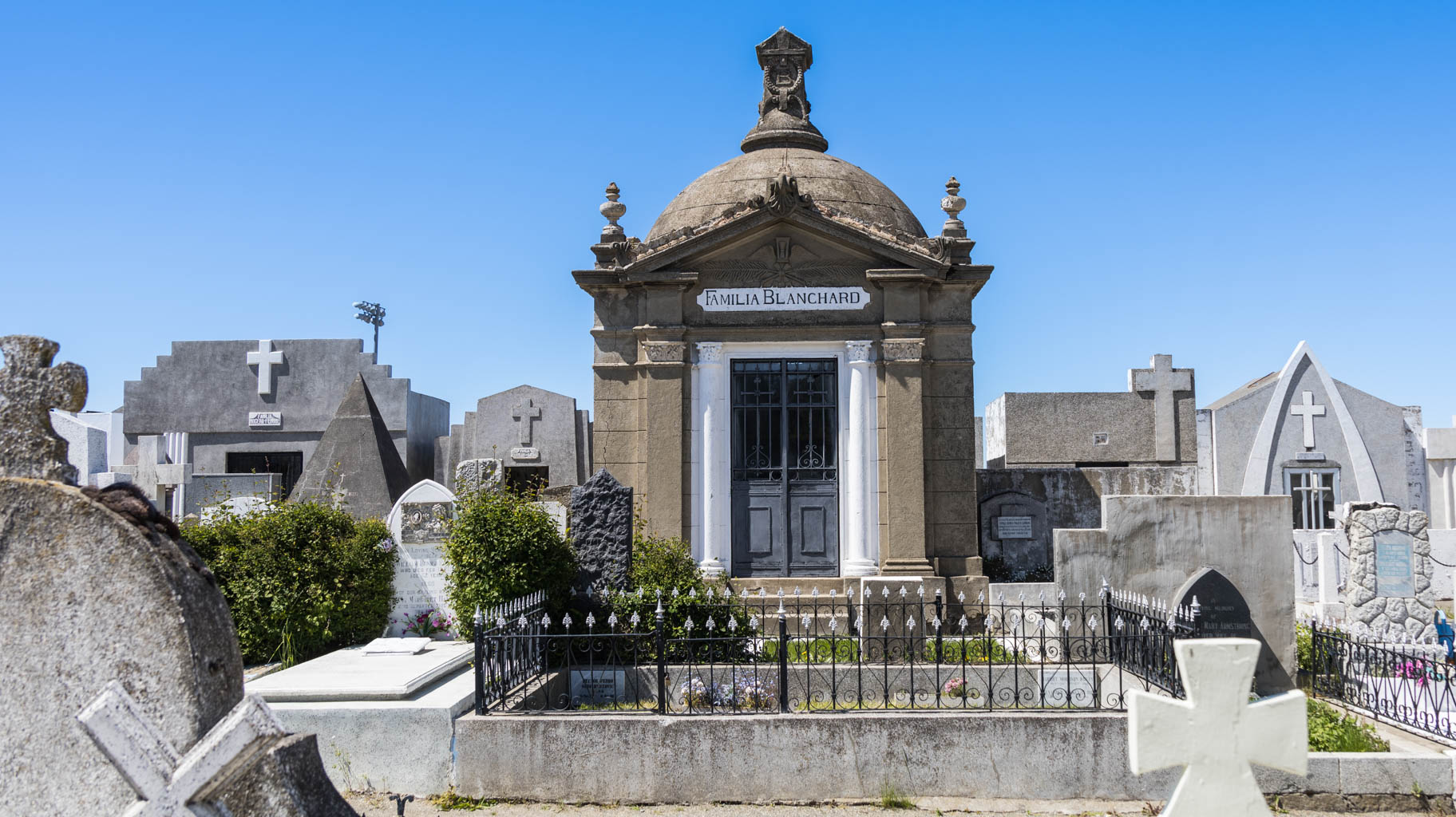
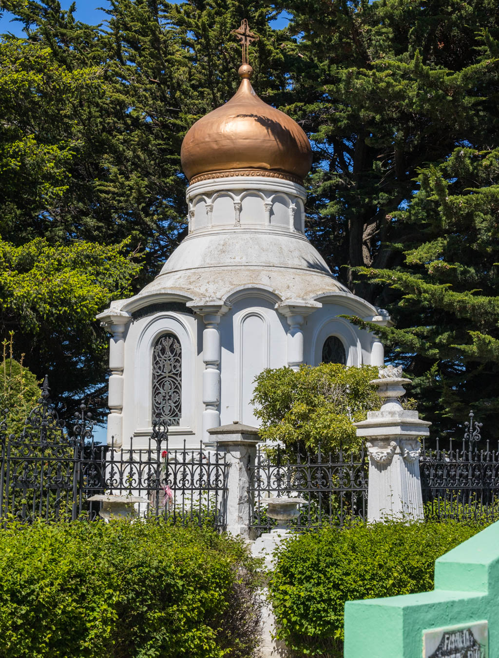
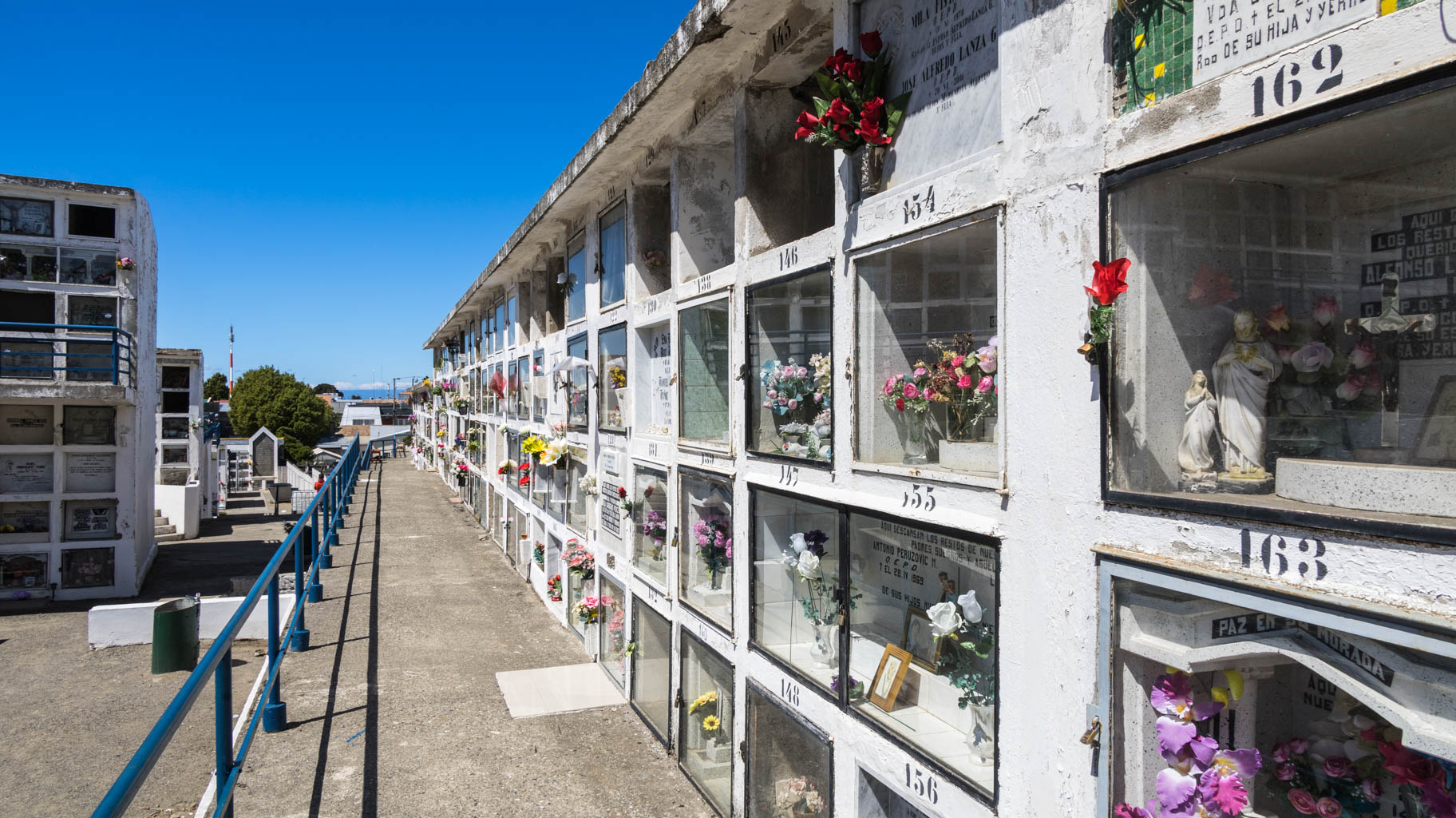
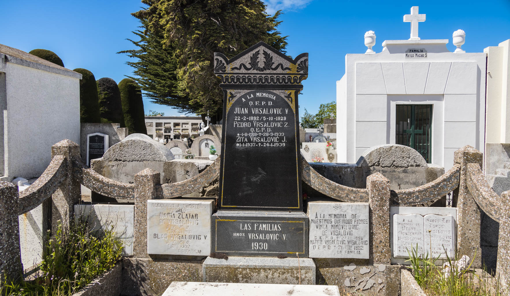
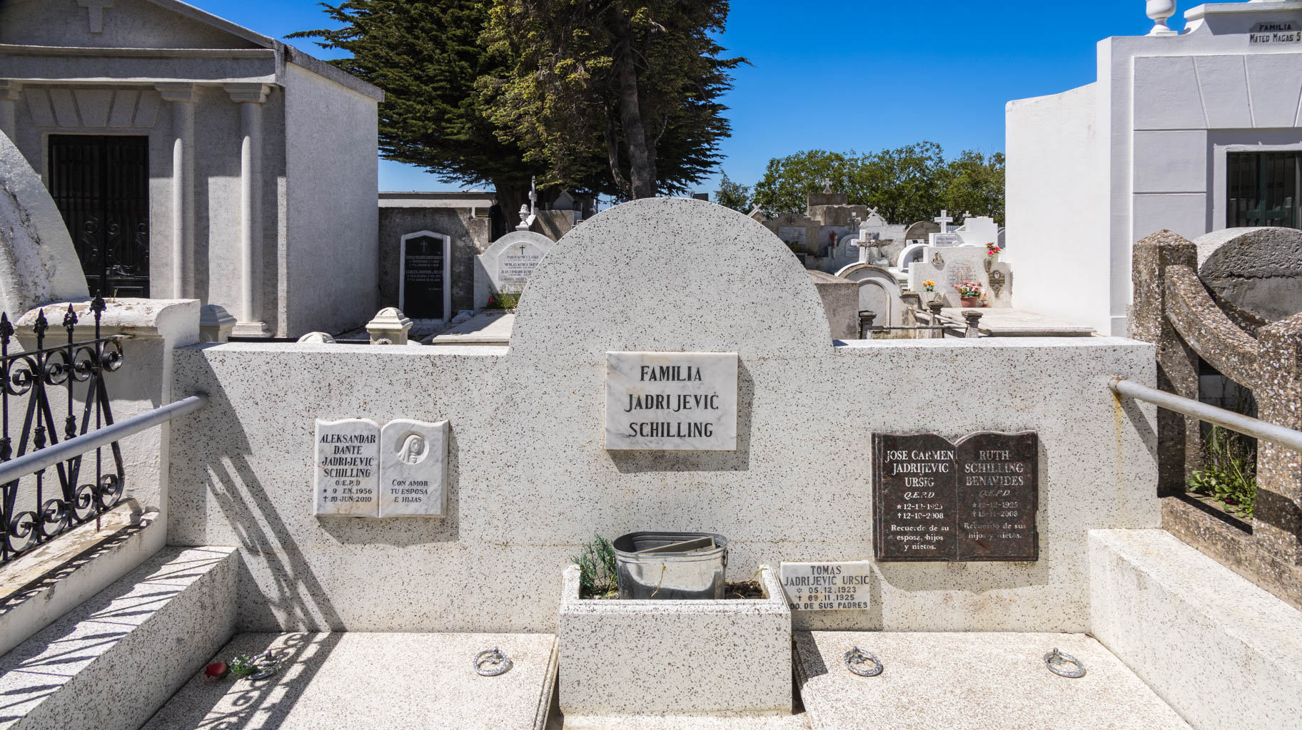
The main point of today is a walk around the city’s main streets, visiting the historic municipal cemetery, where many people of likely Croatian origin are buried, as indicated by the Croatian-sounding surnames on the tombstones and the flag of the country. There are also German and Jewish graves.
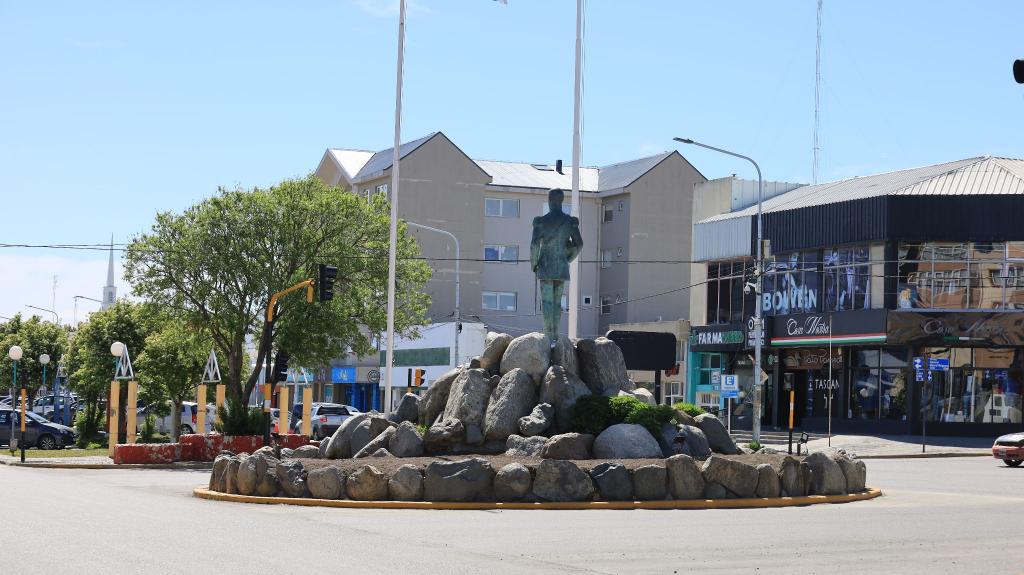
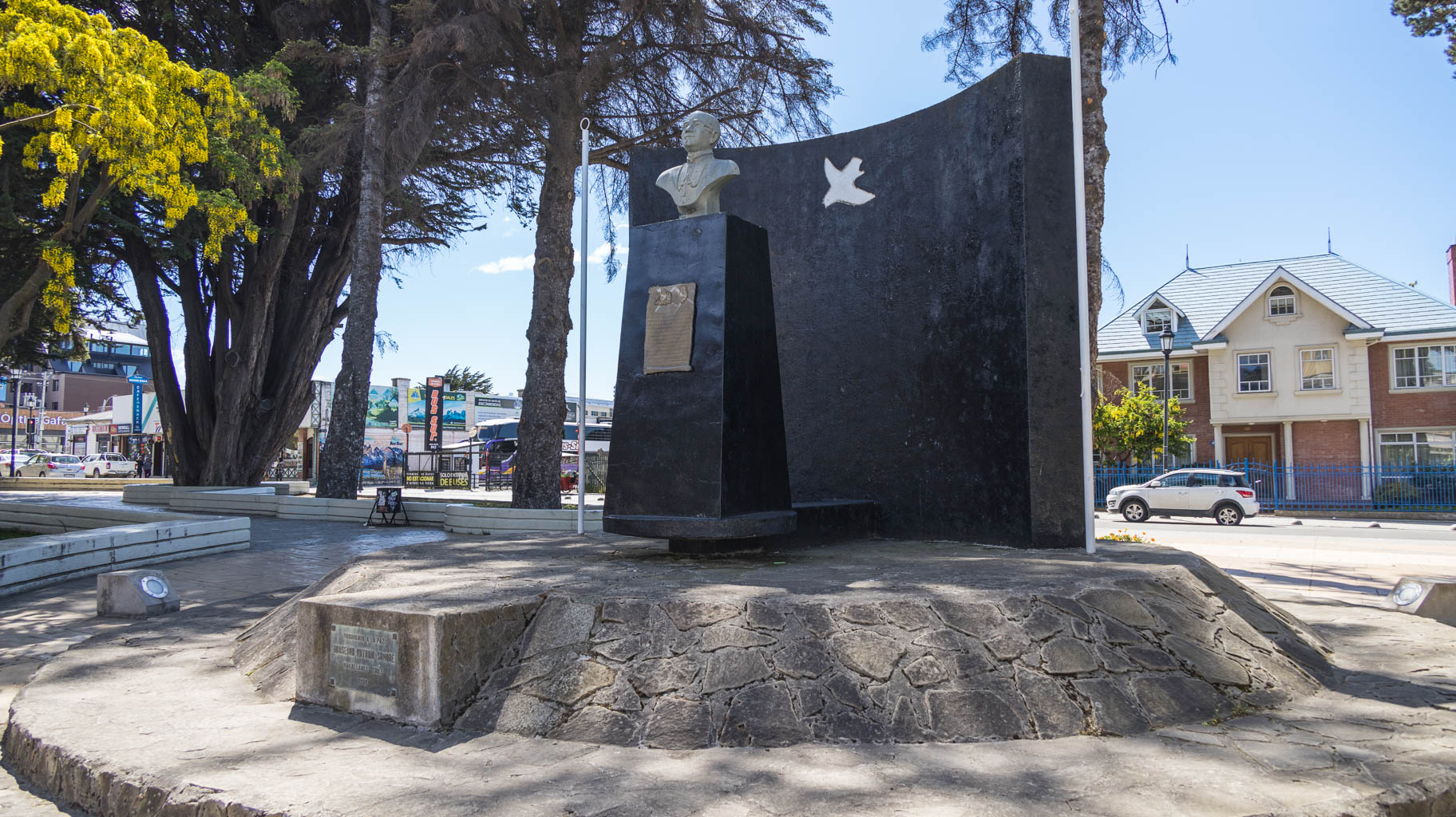
From the cemetery, we head to see the Shepherd’s Monument. It is dedicated to the shepherds and the agricultural industry that brought wealth to this region.
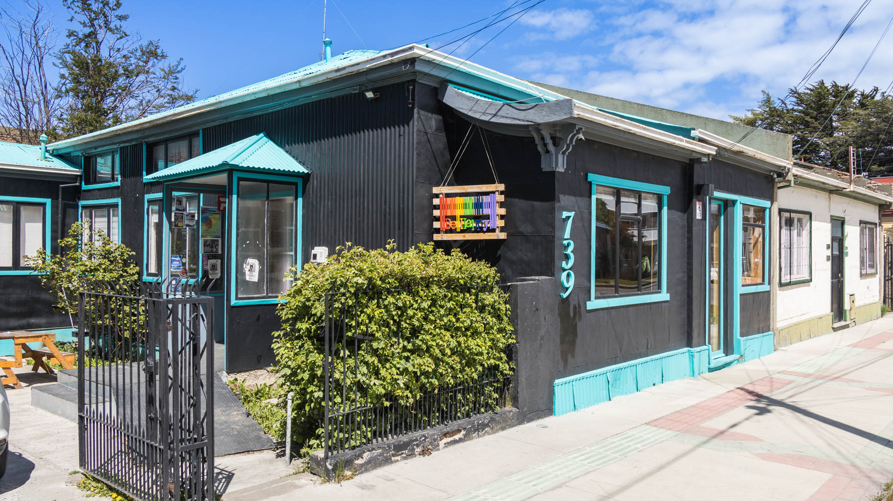
We continue strolling through the city, not just through the touristy areas, to get a more authentic feel of it.
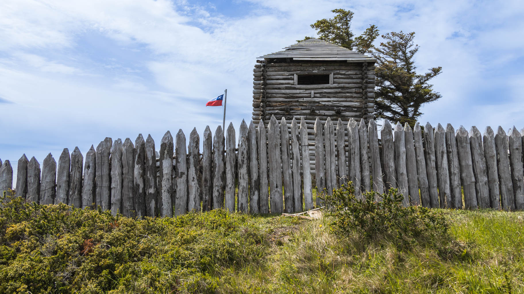
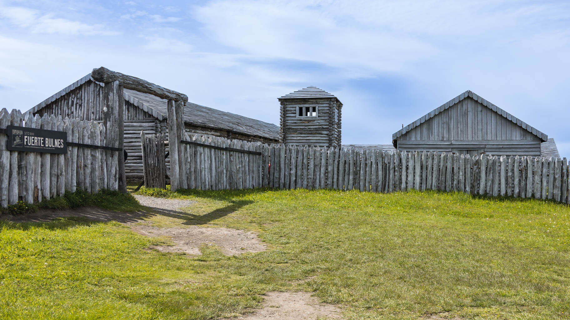
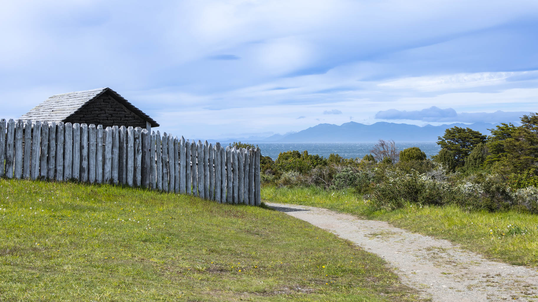
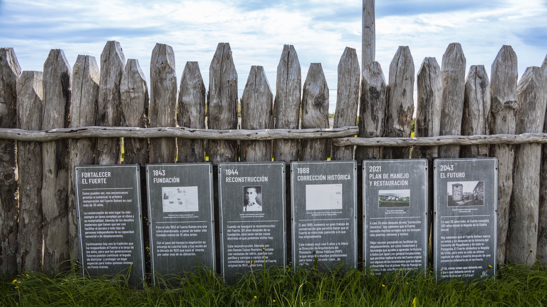
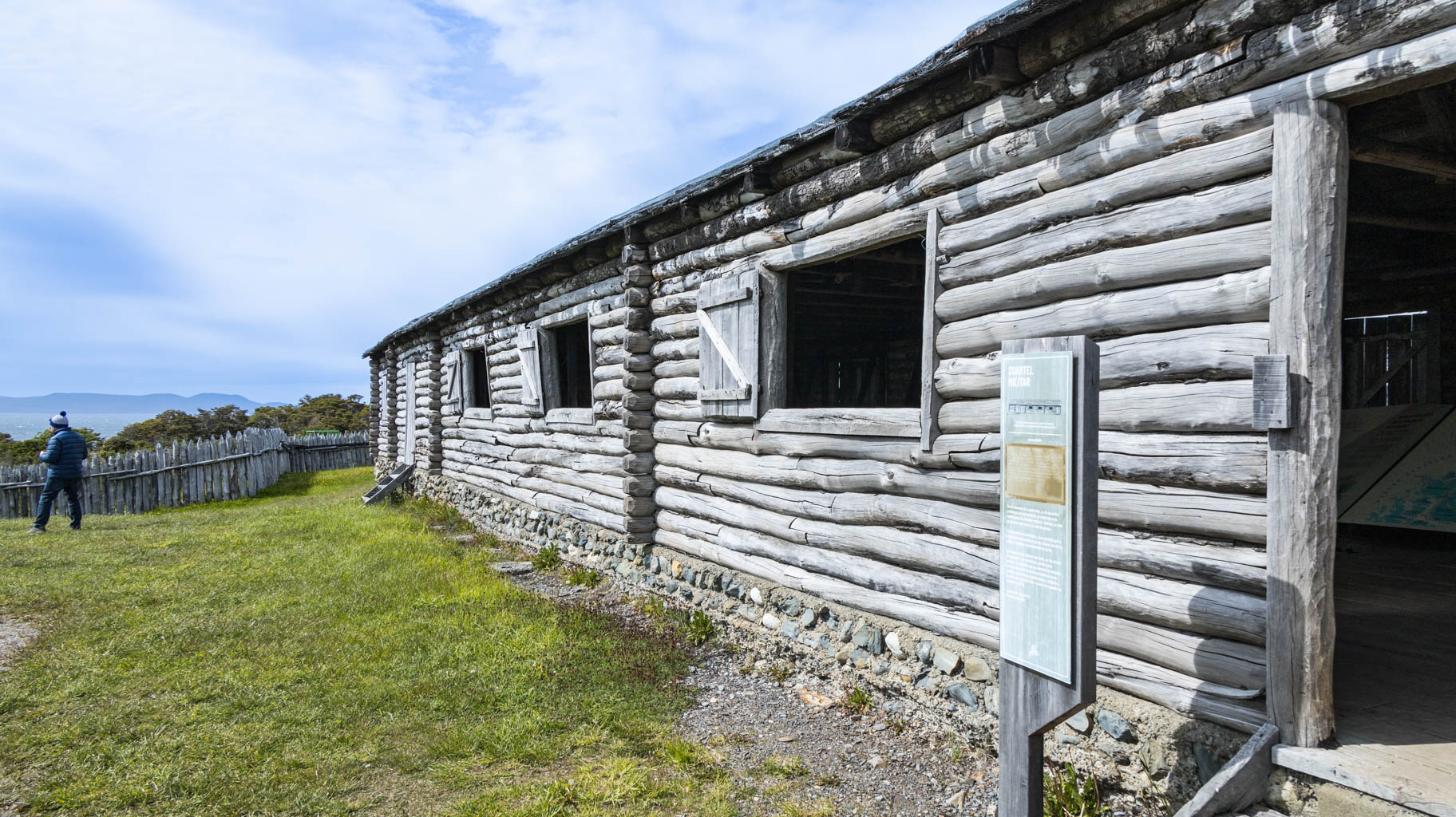
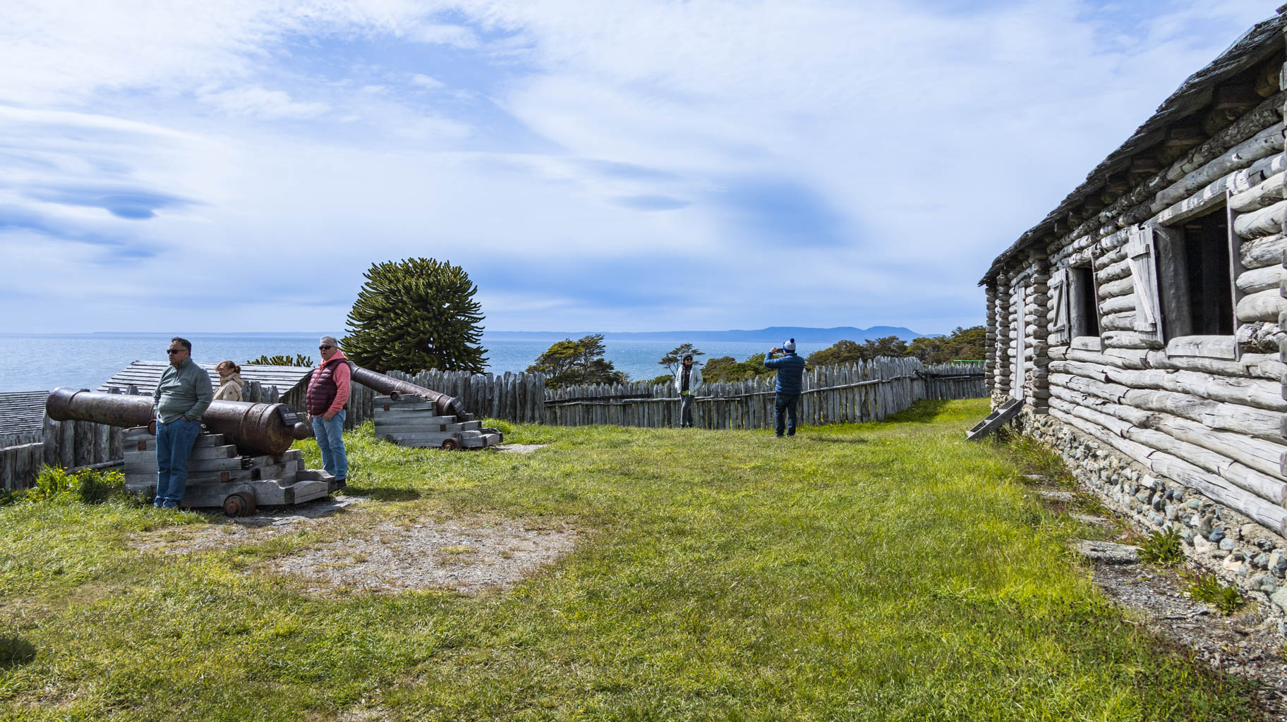
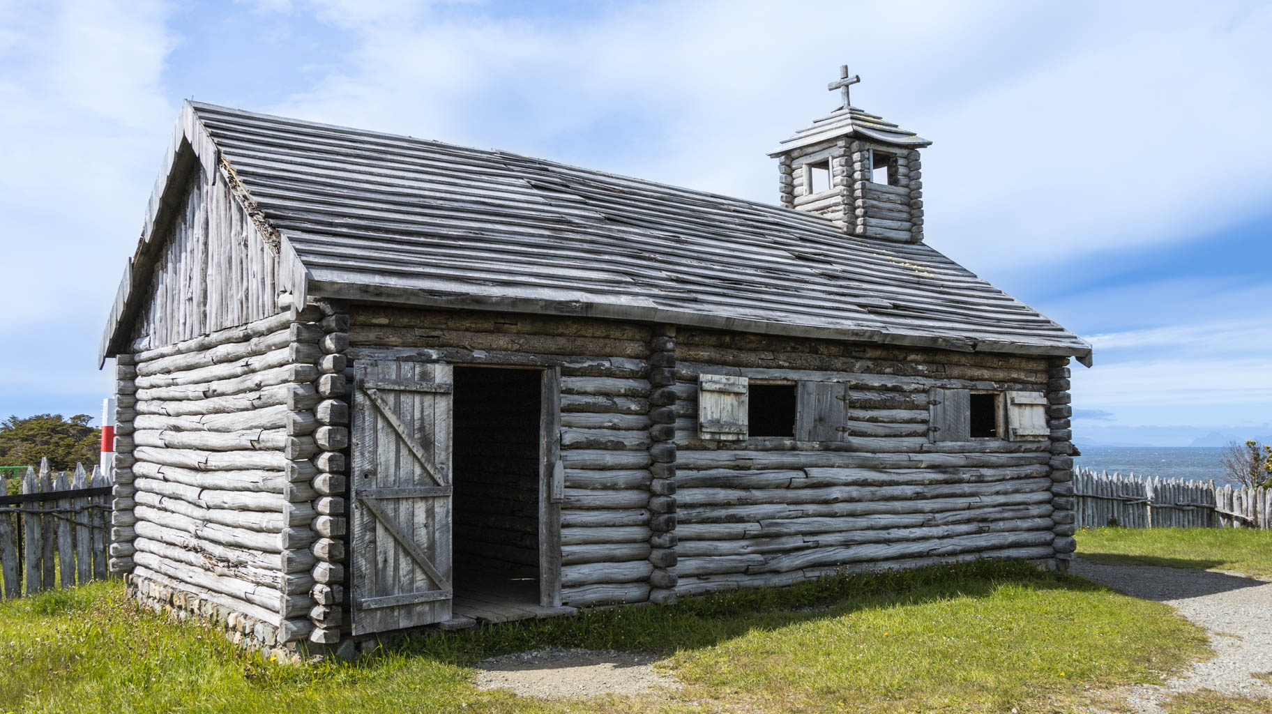
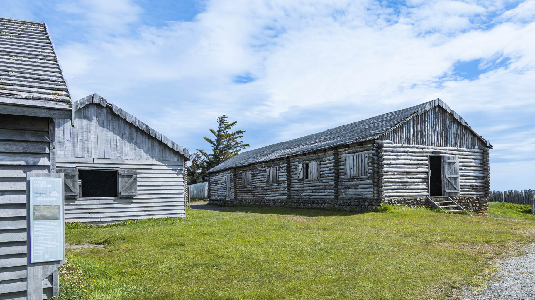
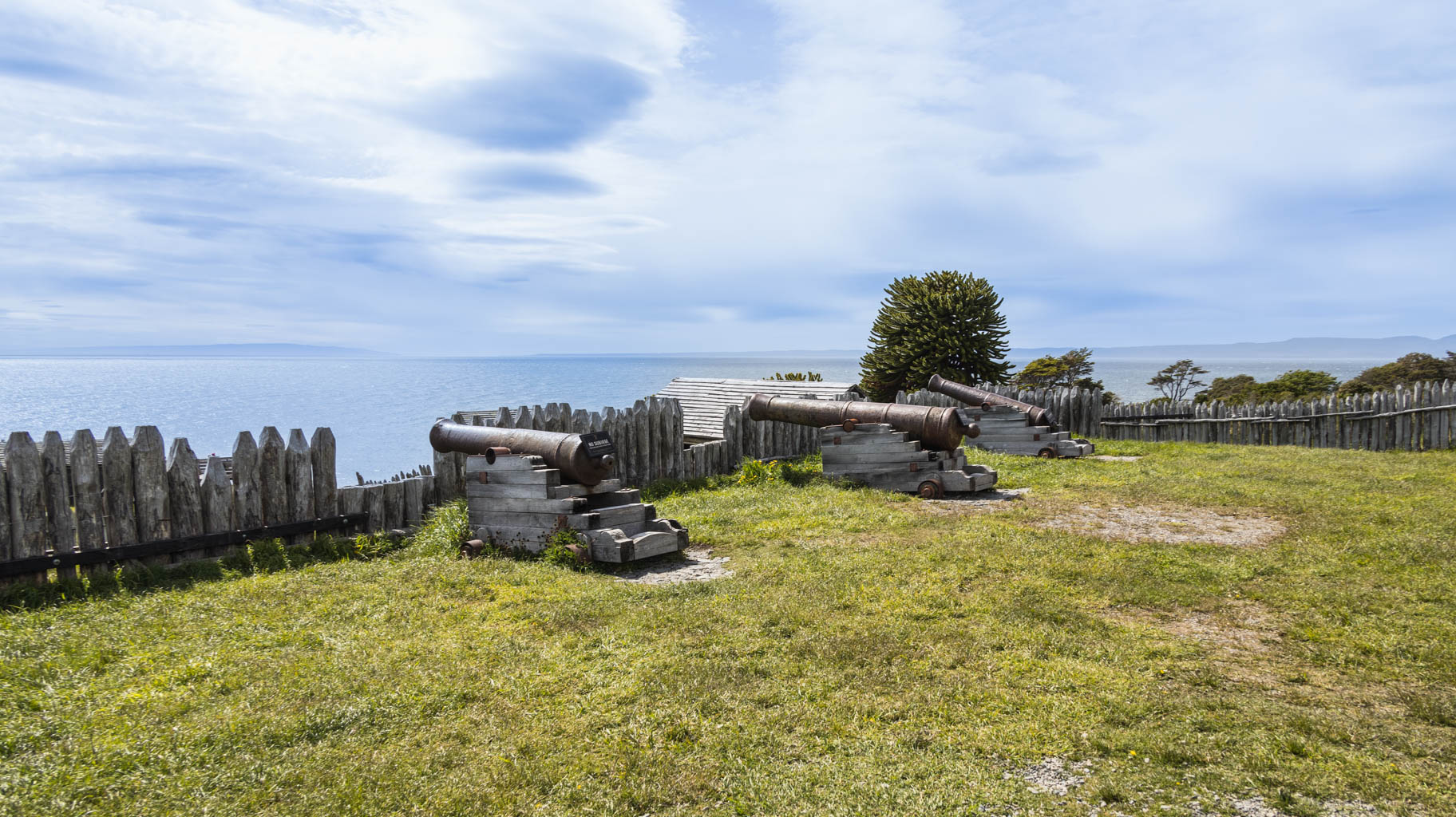
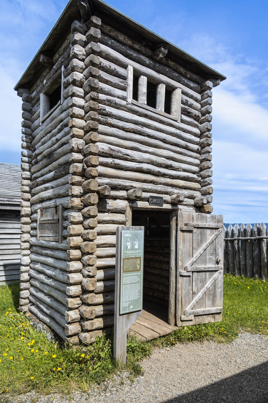
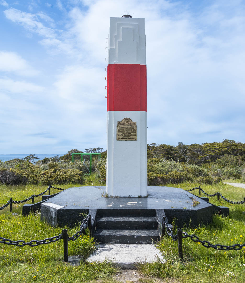
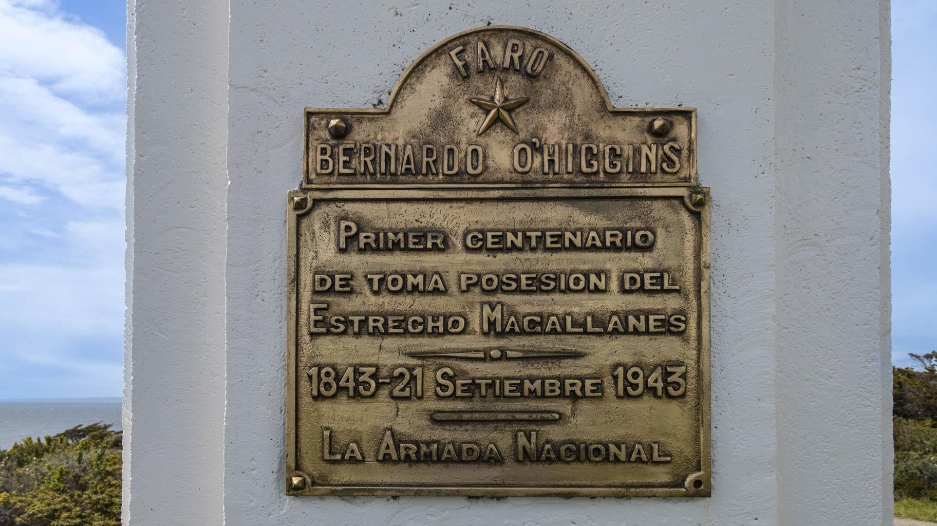
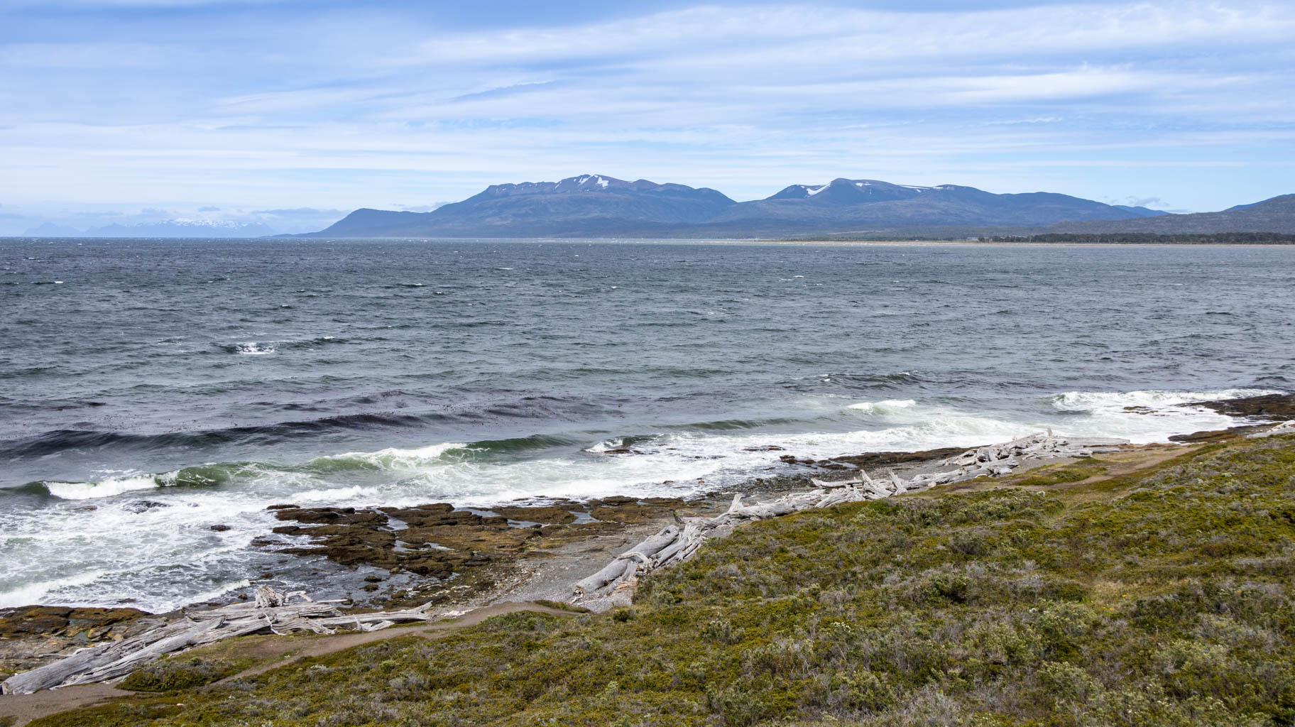
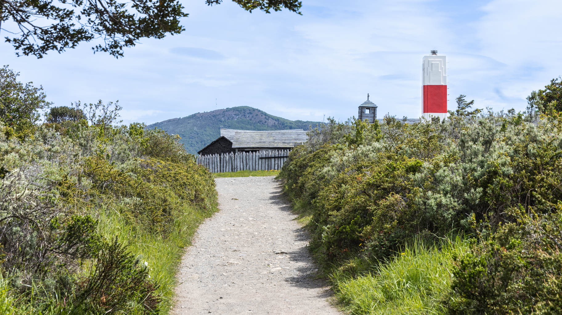
After checking out, we head to the Estrecho Park, located fifty kilometers south of the city. Entrance to the park costs $15 per person and includes several attractions, such as Fort Bulnes, Darwin's Monument, a lighthouse, the Hunger Port, and a few short trekking trails along the coast.
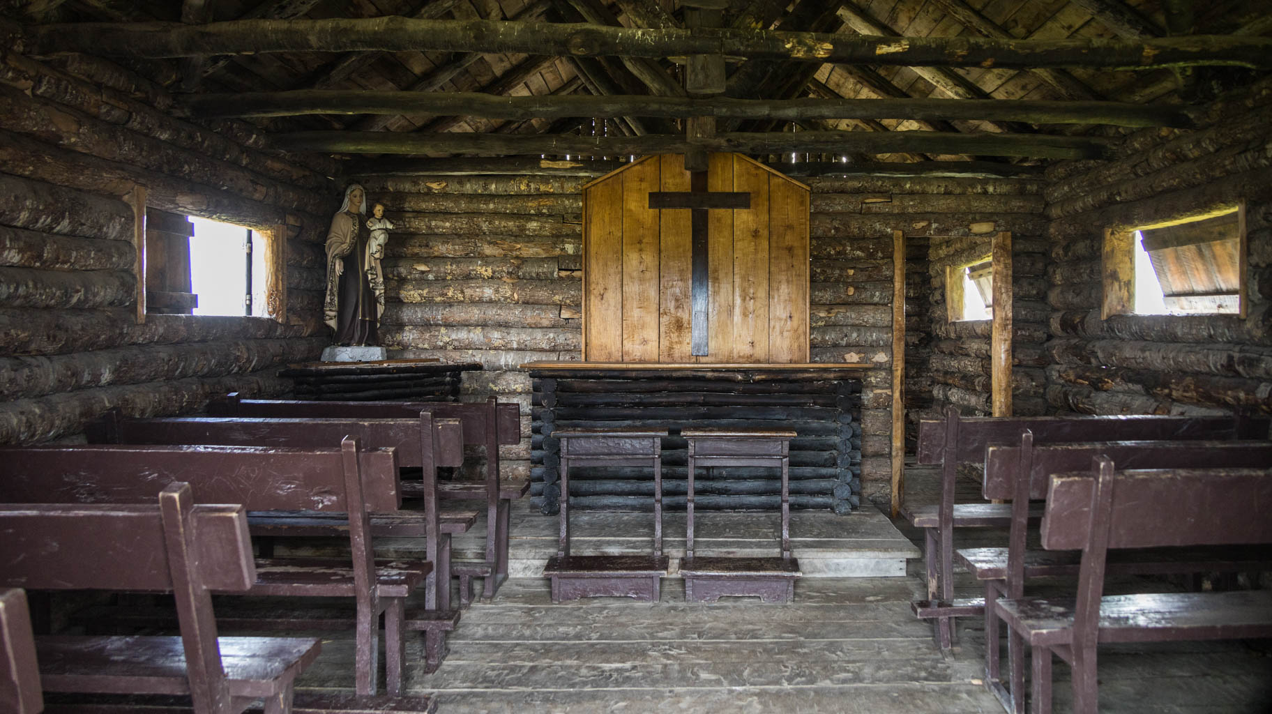
The fort was built in 1843 and named after President Manuel Bulnes. Its purpose was to facilitate further colonization of Chile and protect the Strait of Magellan. Within the fort, there are partially restored remains of the governor's house, a prison, a church, and a kitchen.
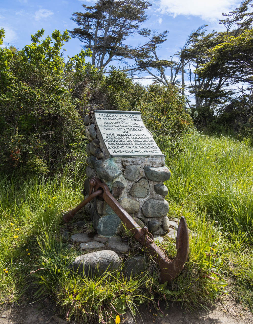
After visiting the fort, we head to the Hunger Port. Chile claims rights to the land south of here, and considering these claims, the Hunger Port marks the geographic center of the country.
The settlement in this area was established in the 16th century. Three hundred settlers died there from hunger or froze to death.
The remaining few hours are spent in the city park, after which we head to the airport to return the car and wait for our flight to Santiago. Our flight is at 23:59, and we are scheduled to arrive at 3:30, so we won’t be sleeping tonight, unless we manage to nap a bit on the plane.
These are the kinds of souvenirs one can buy in Chile. Unfortunately, some cultural differences are difficult to accept, but it’s worth remembering who fled to Argentina and Chile at the end of the war.
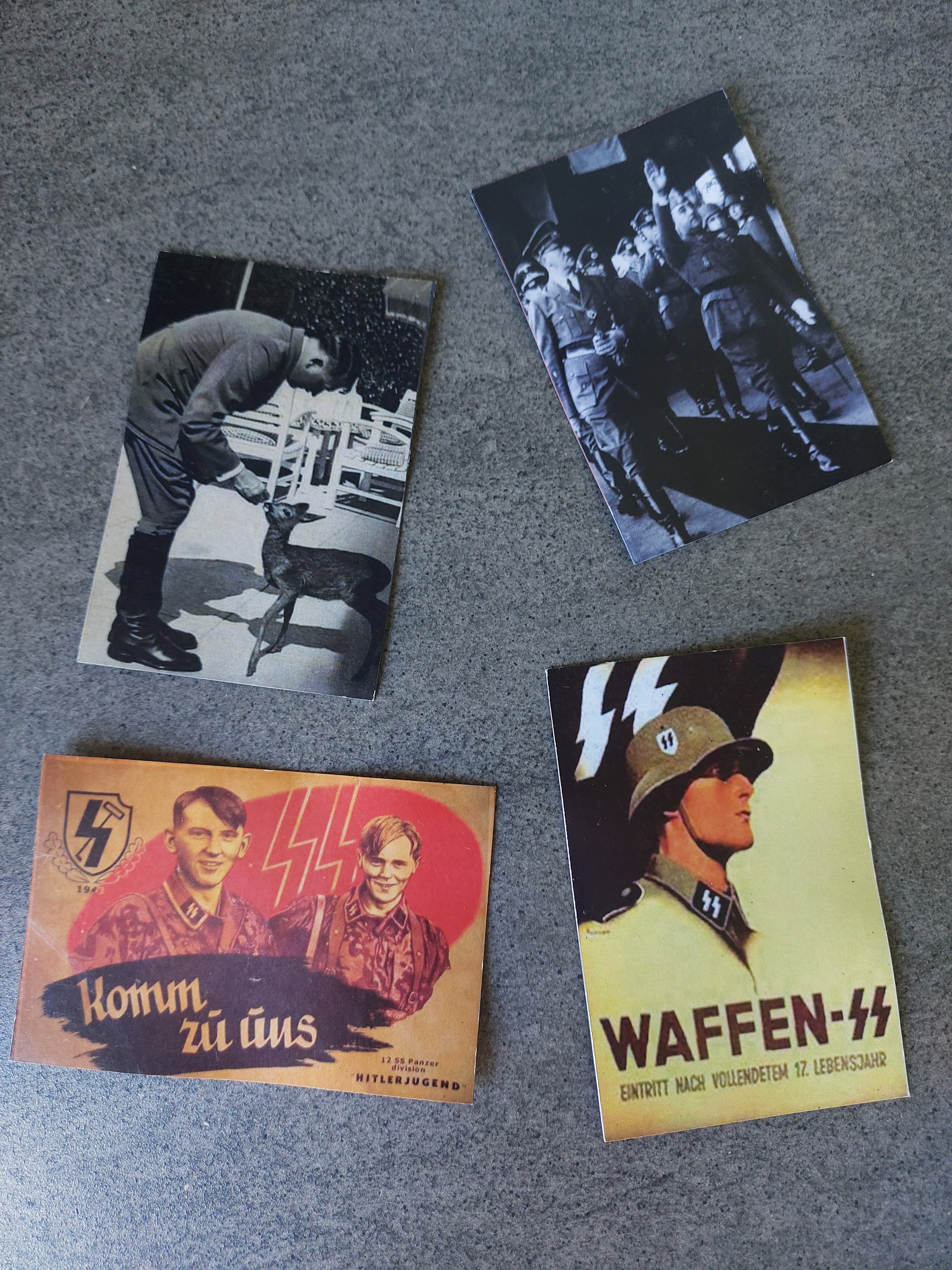
Many of these people spent their final days here, starting families and promoting German culture and architecture, which can be seen in the buildings in the cities we visited.
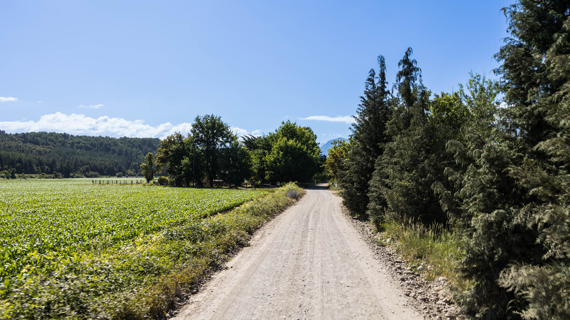
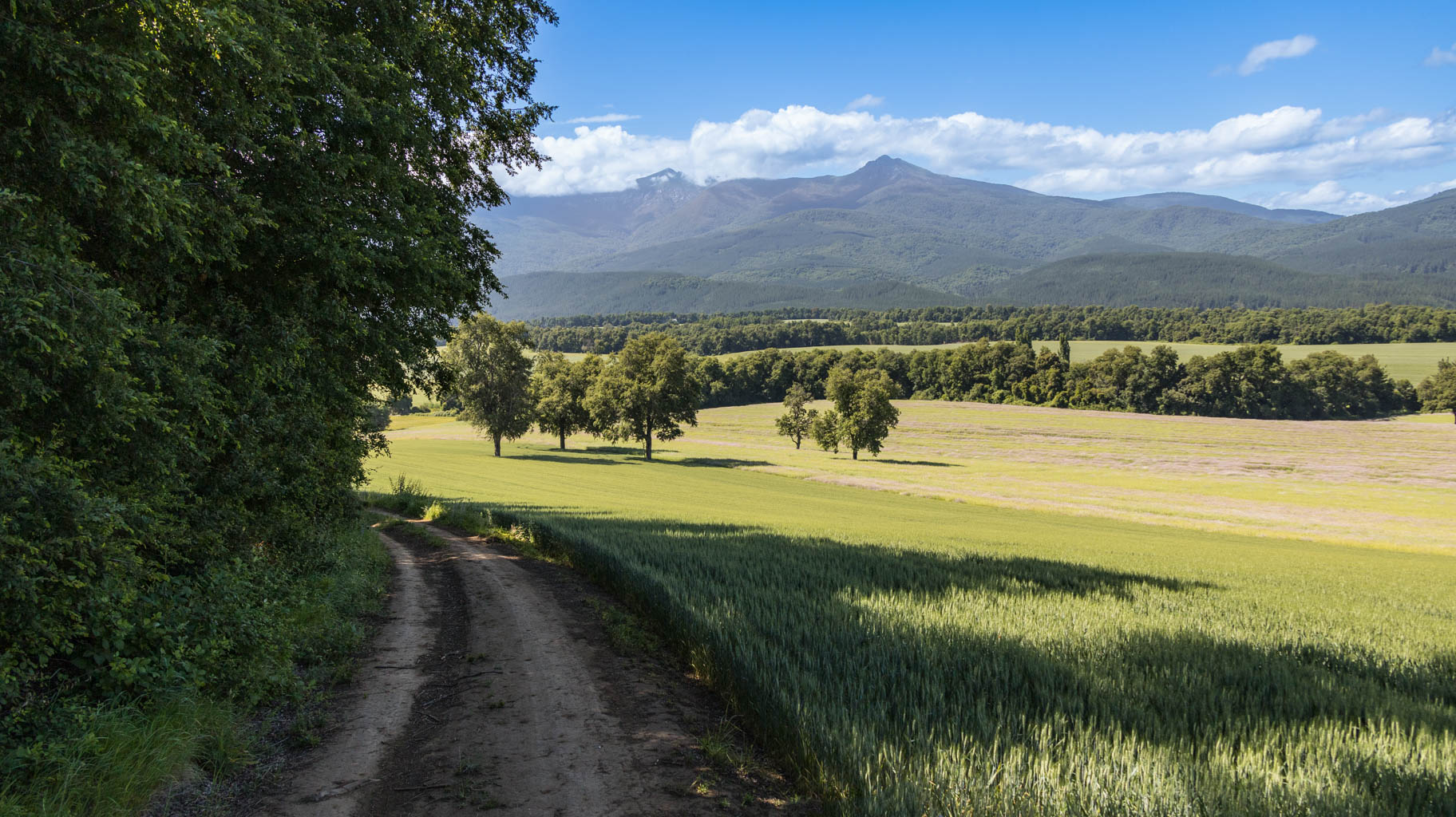
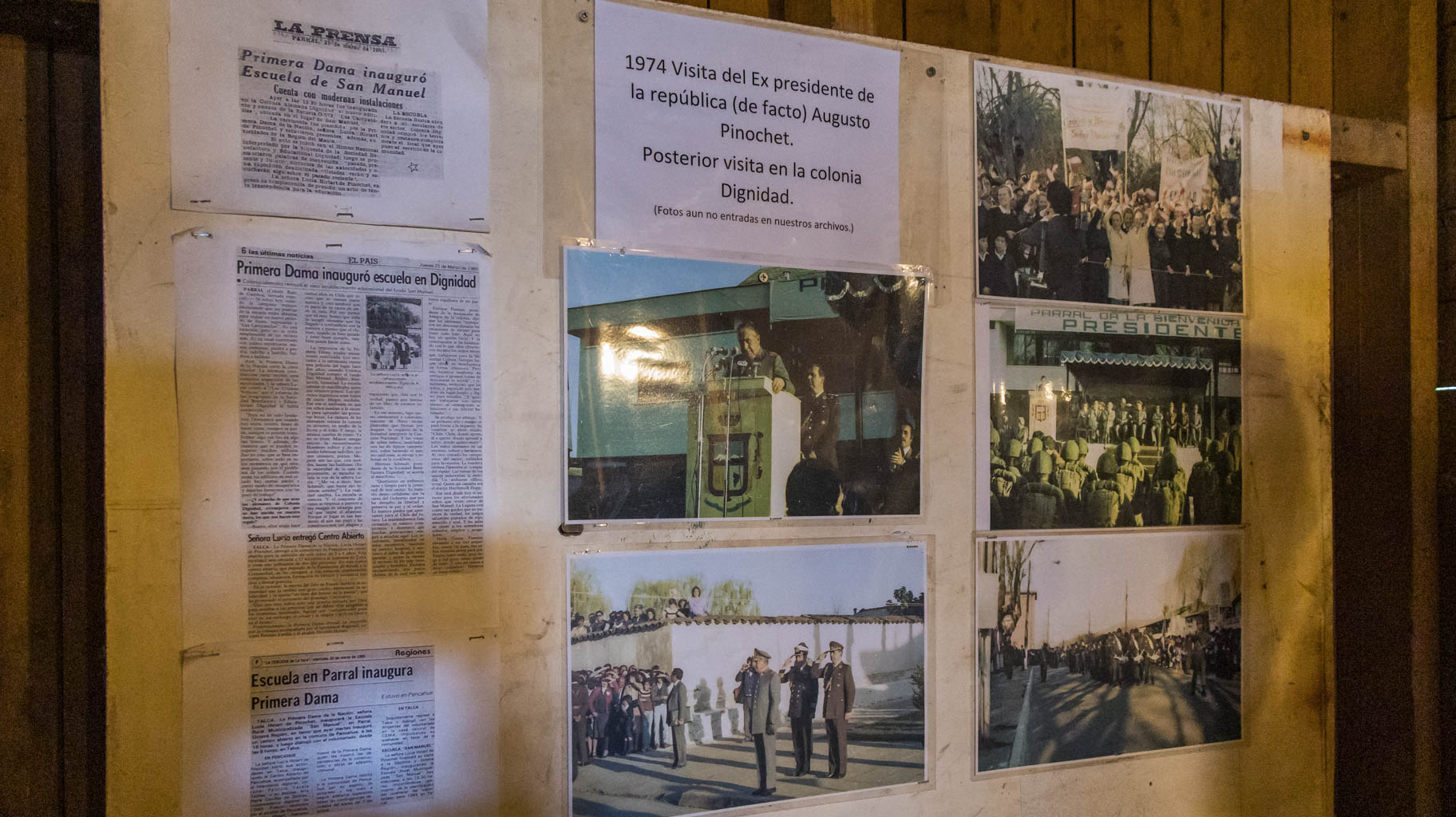
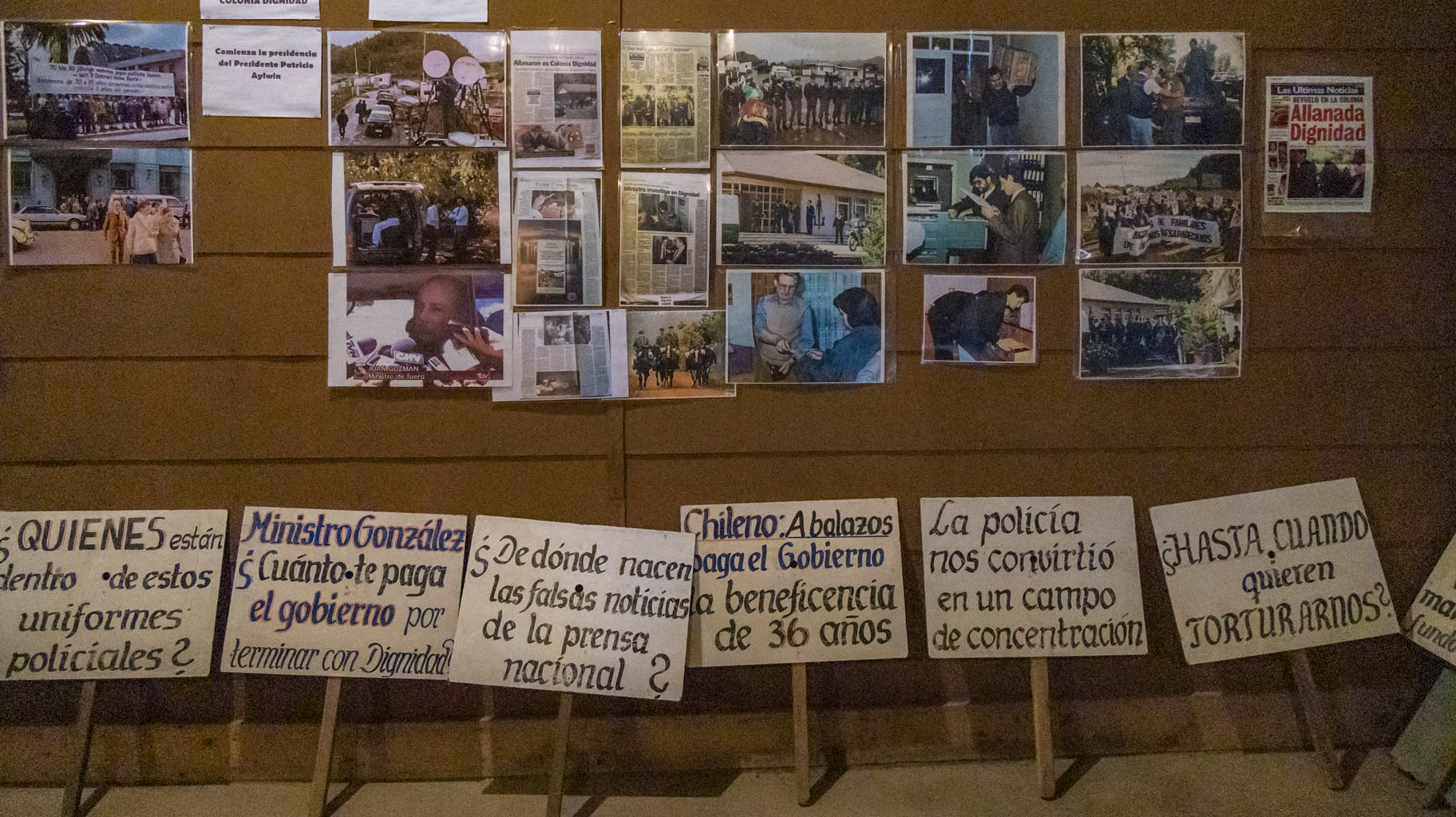
We head four hundred kilometers south to such a place, marked by suffering, torture, and genocide, and all of this happened just fifty years ago.
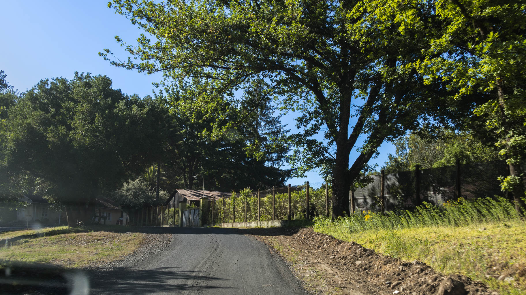
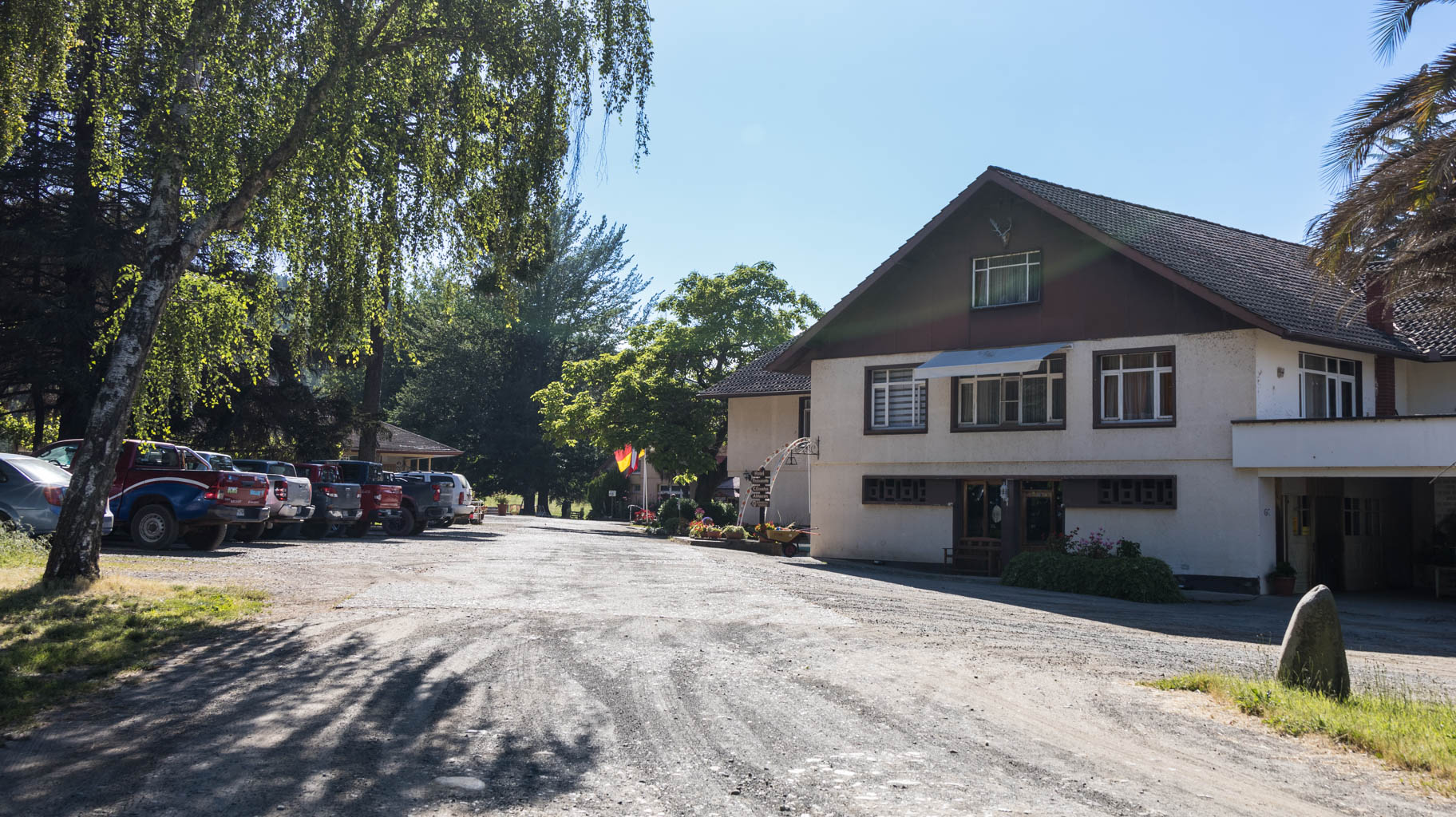
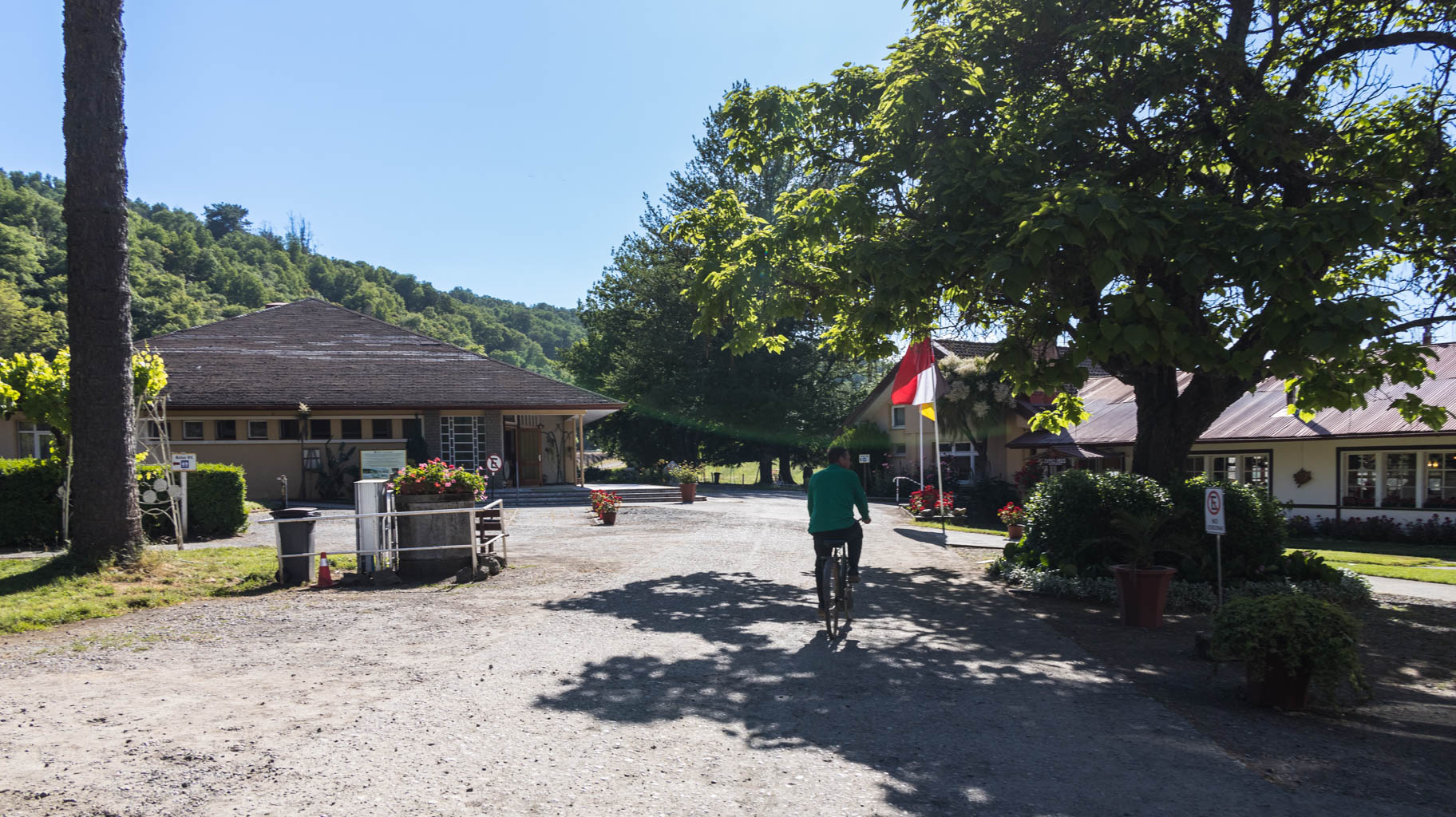
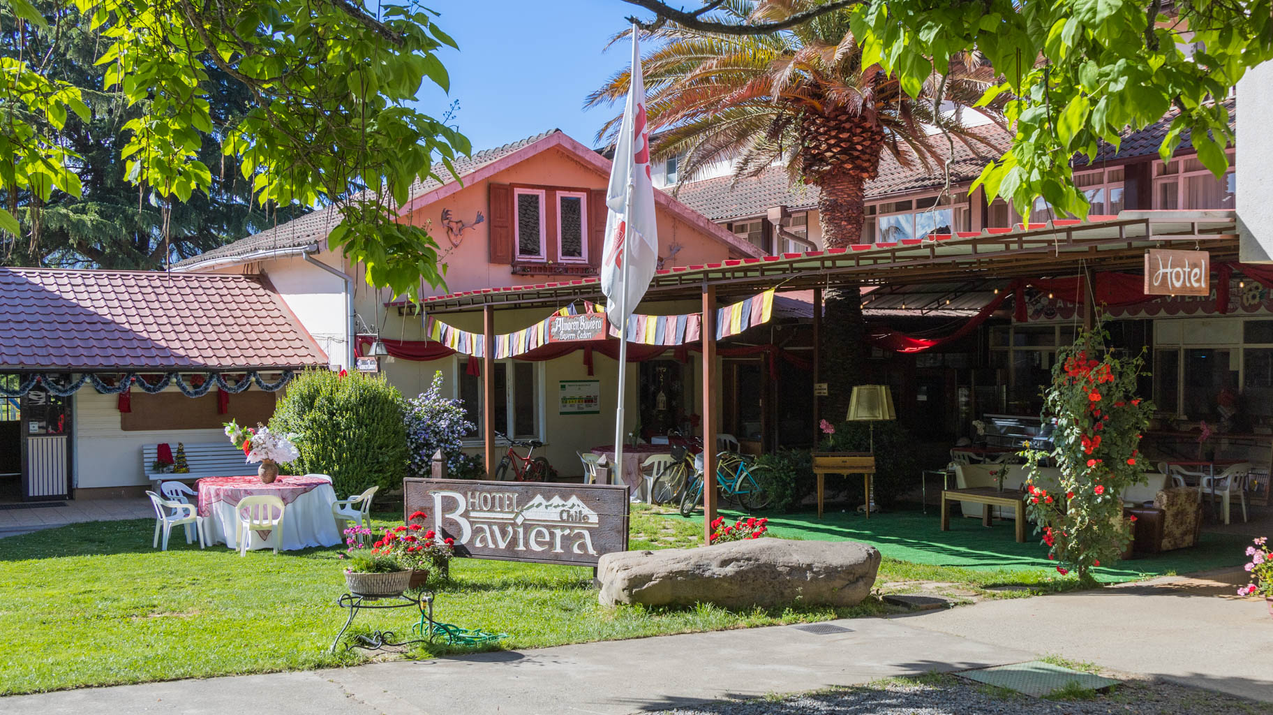
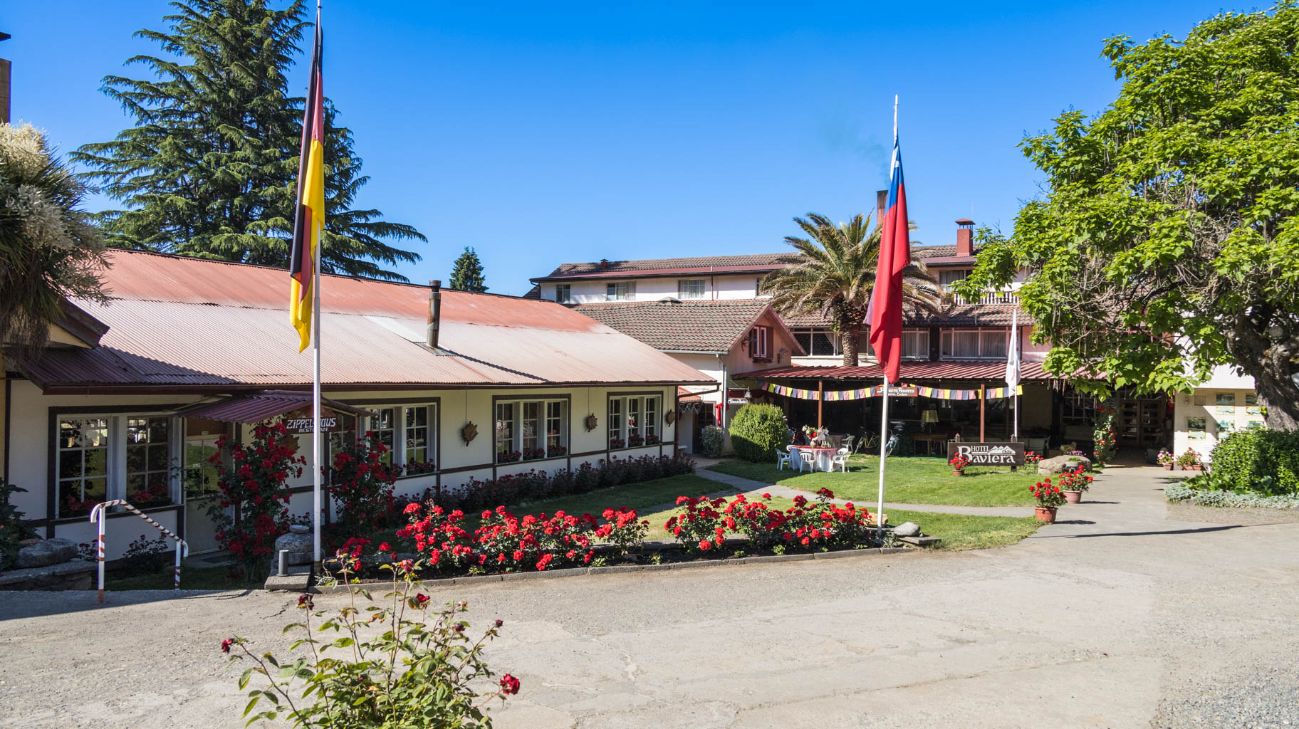
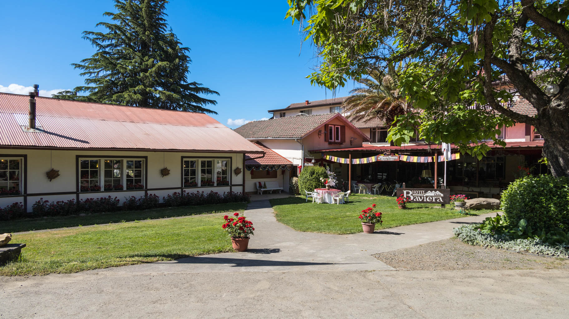
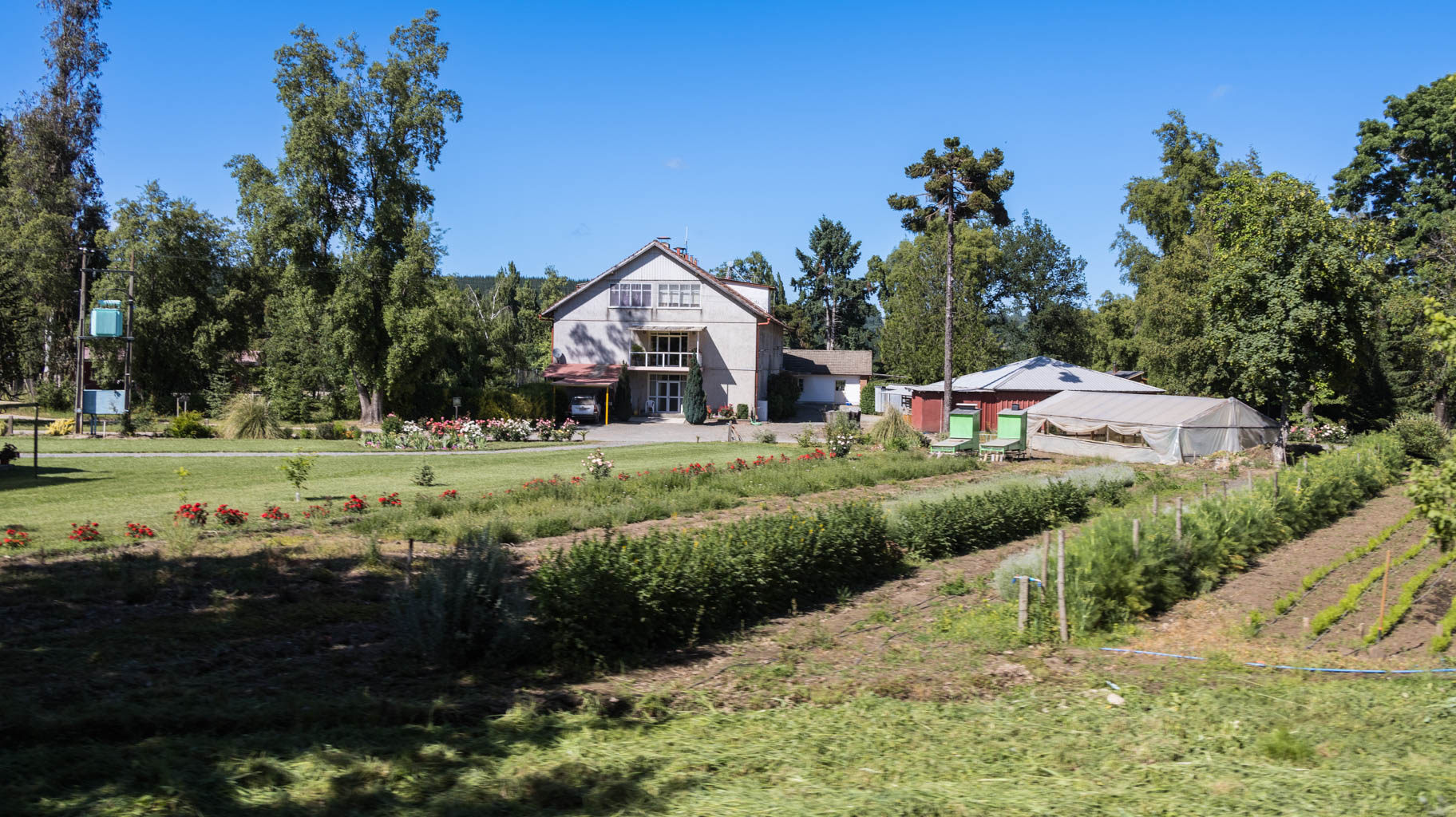
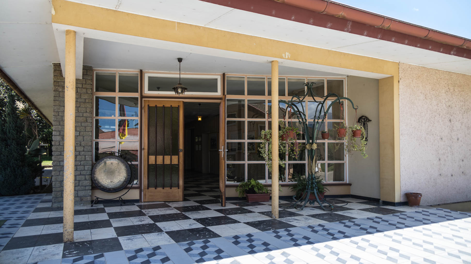
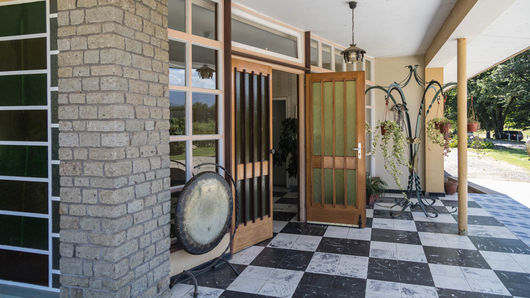
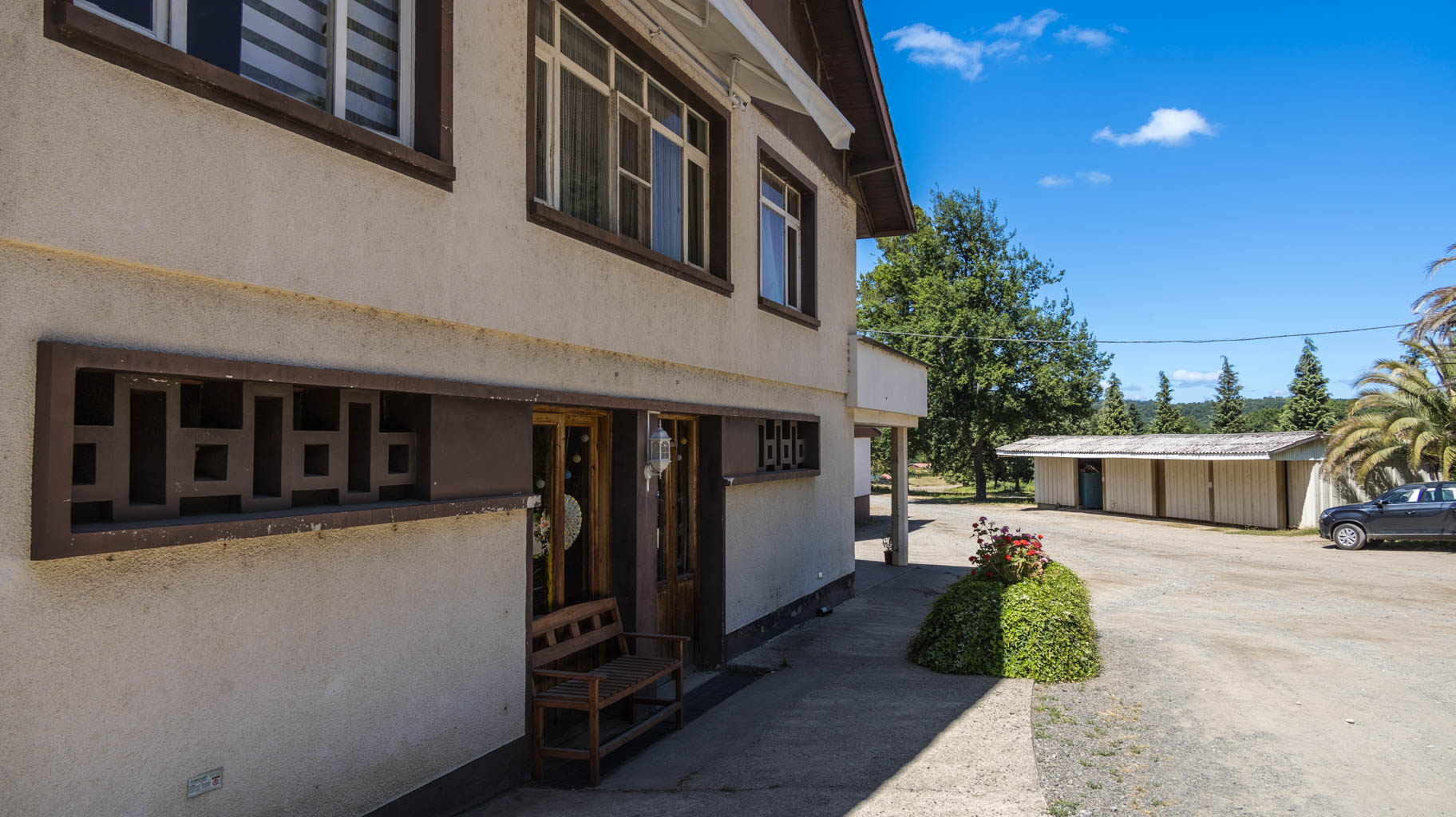
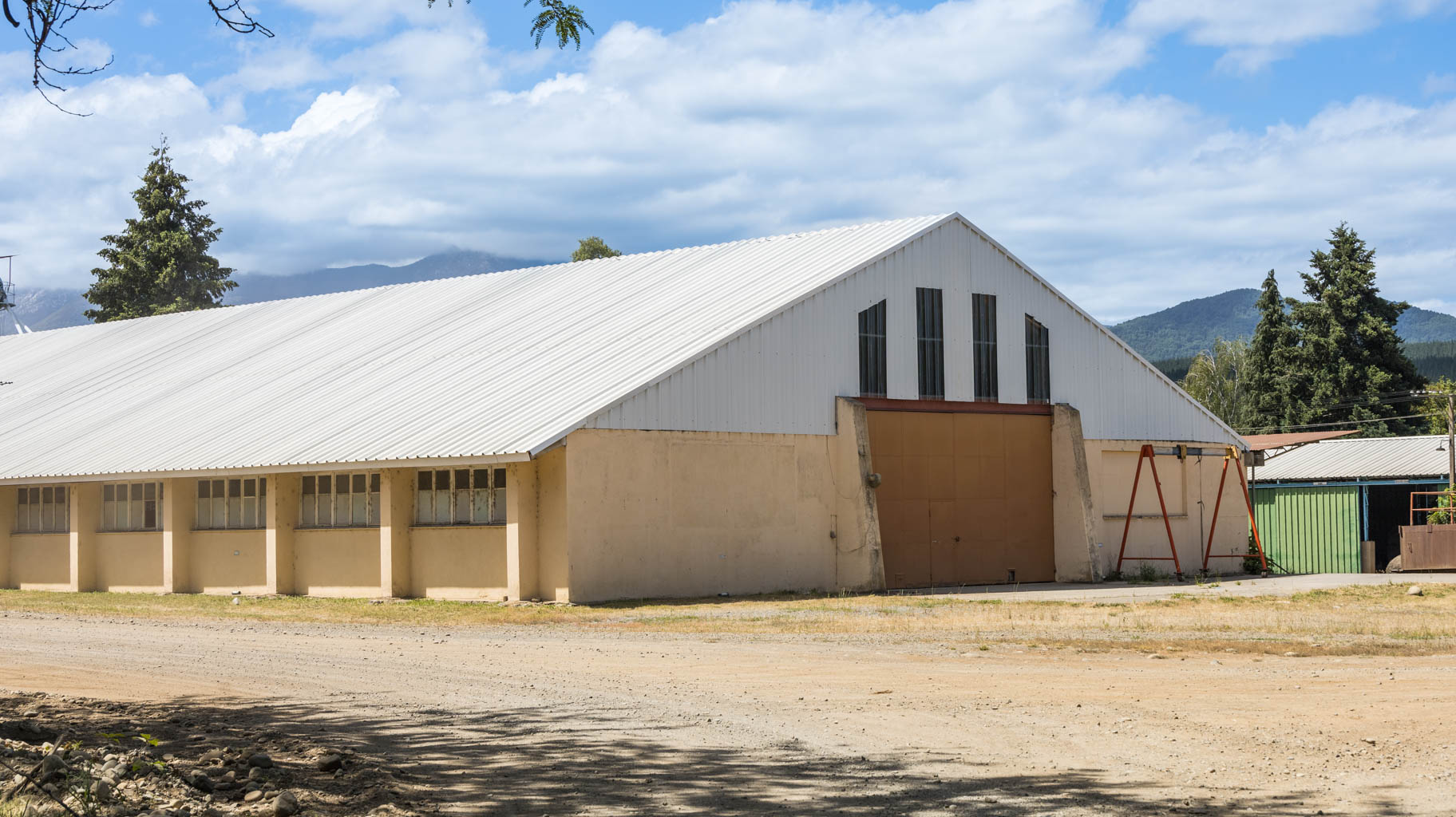
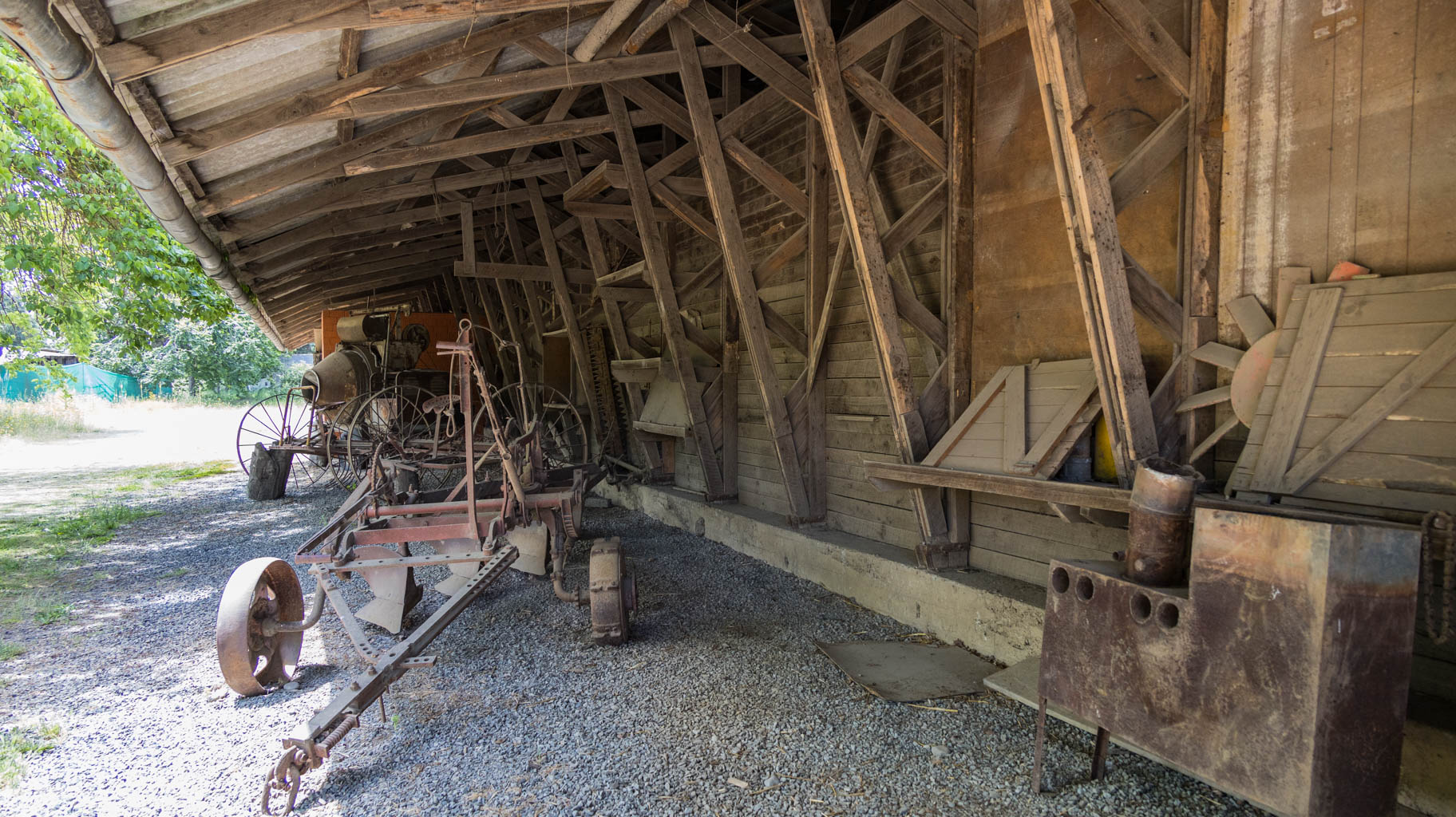
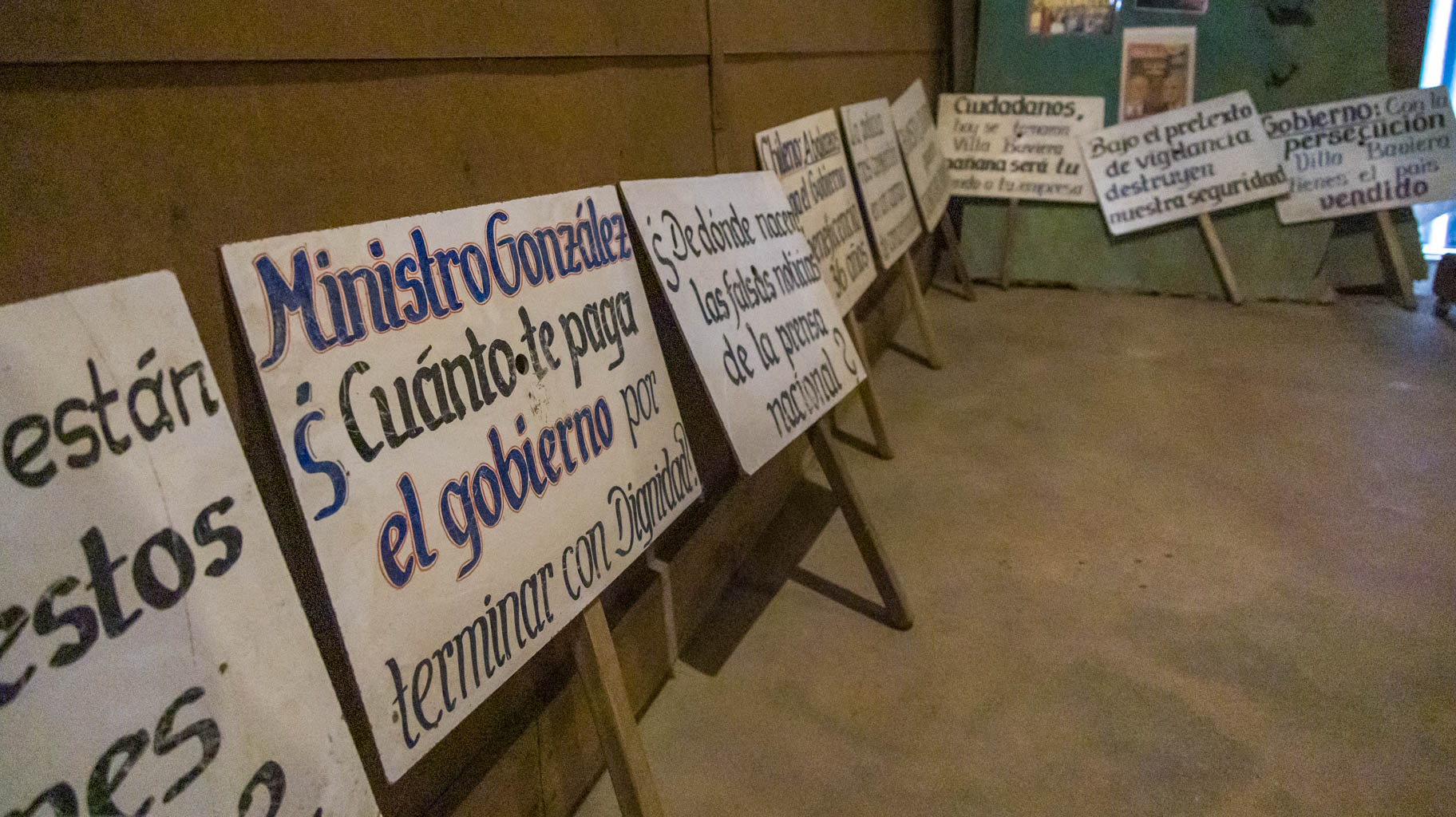
This place is called Colonia Dignidad (Colony of Dignity), now renamed Hotel Villa Baviera (Bavarian Villa).
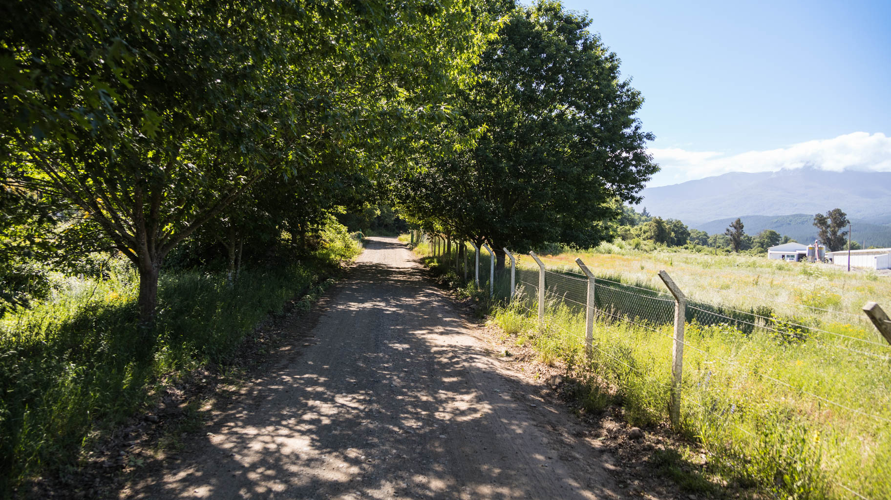
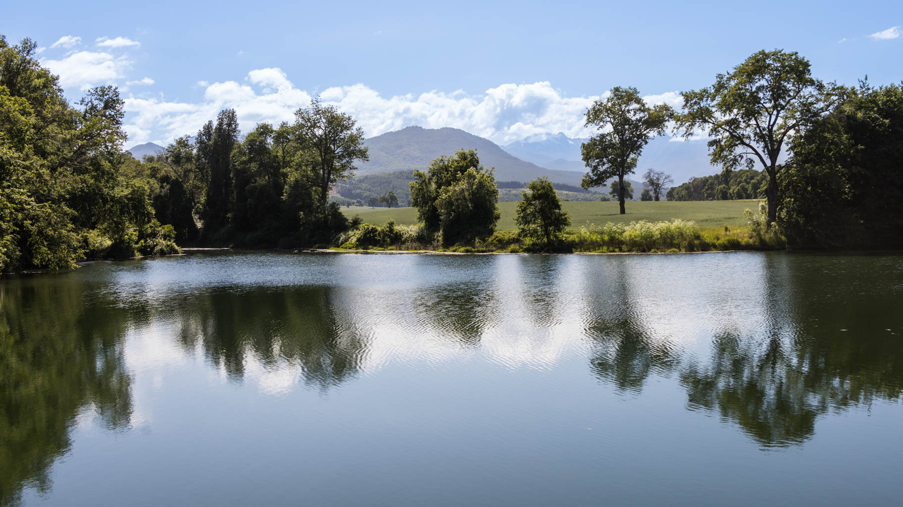
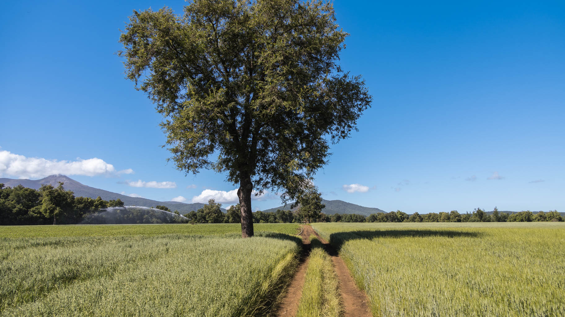
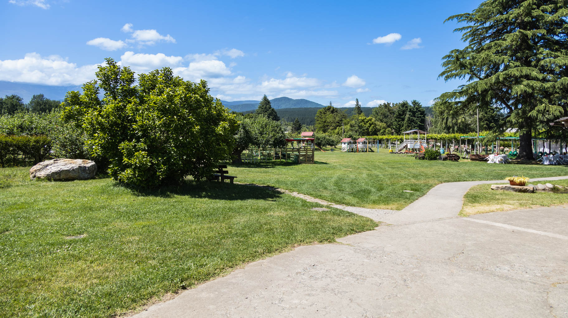
An ideal location, because the Andes here remind one of the Alps, and the lush nature and numerous lakes make it feel like home, in Bavaria. This is likely the origin of the new name for this place, which remains very popular among tourists, mostly from Germany.
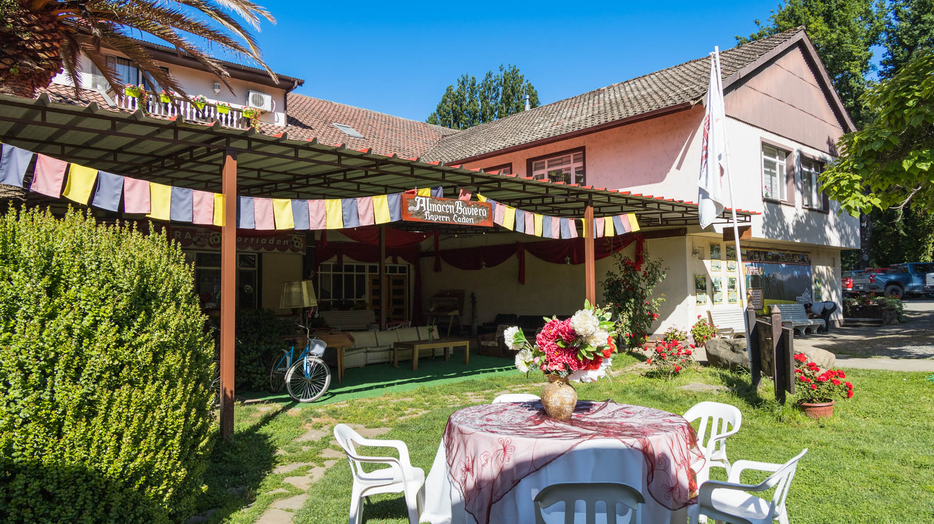
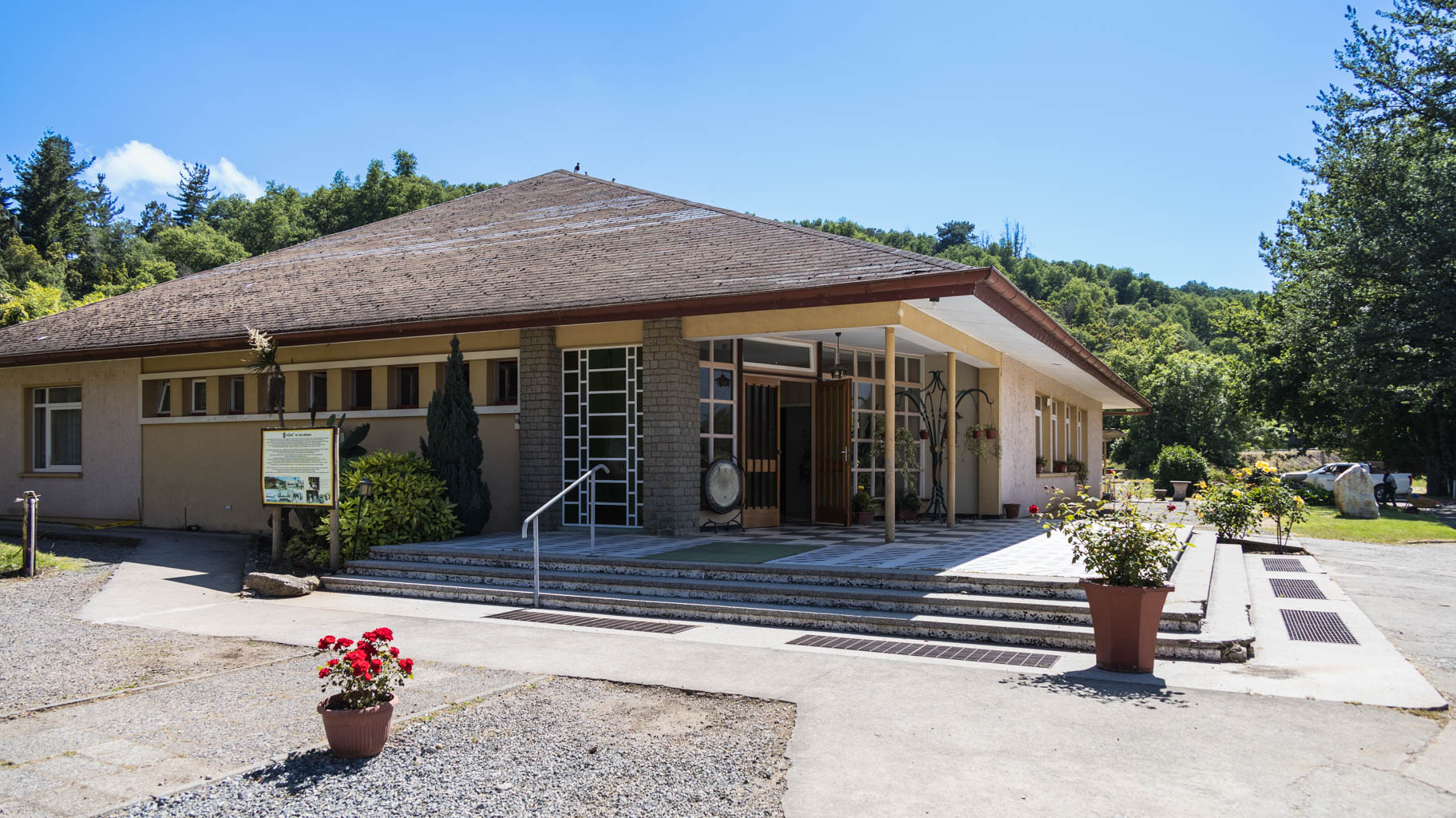
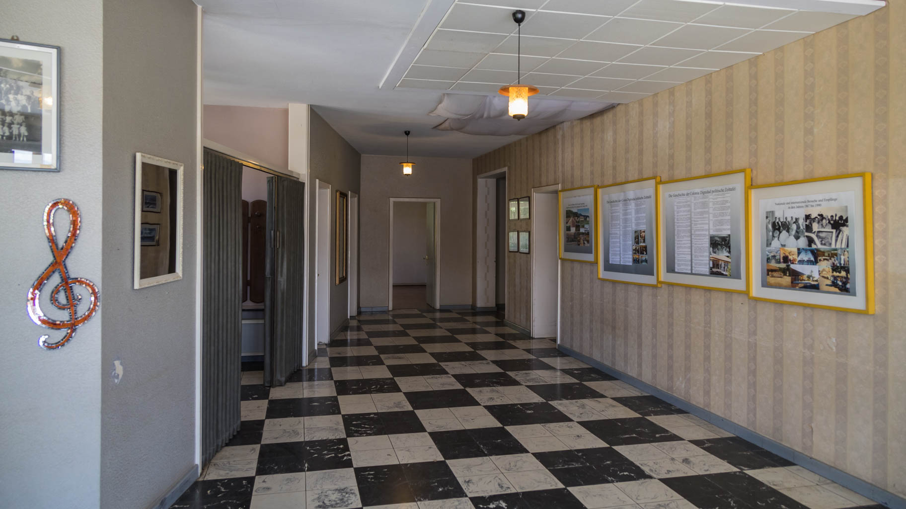
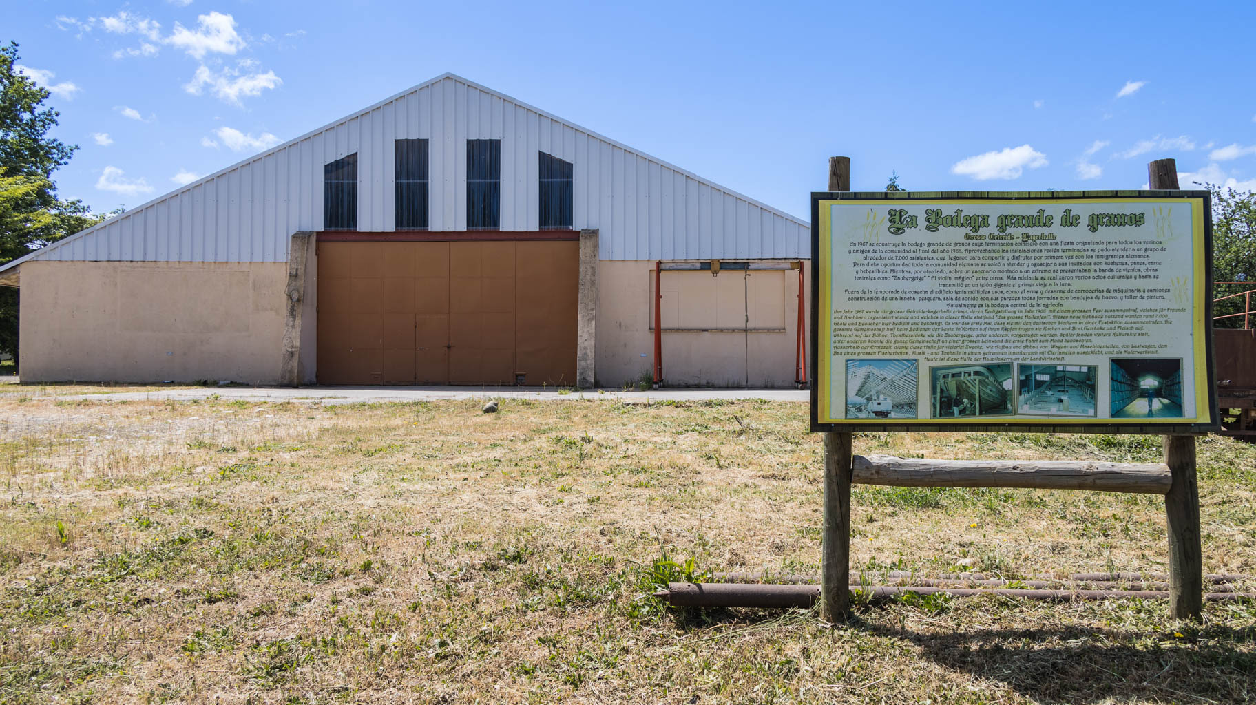
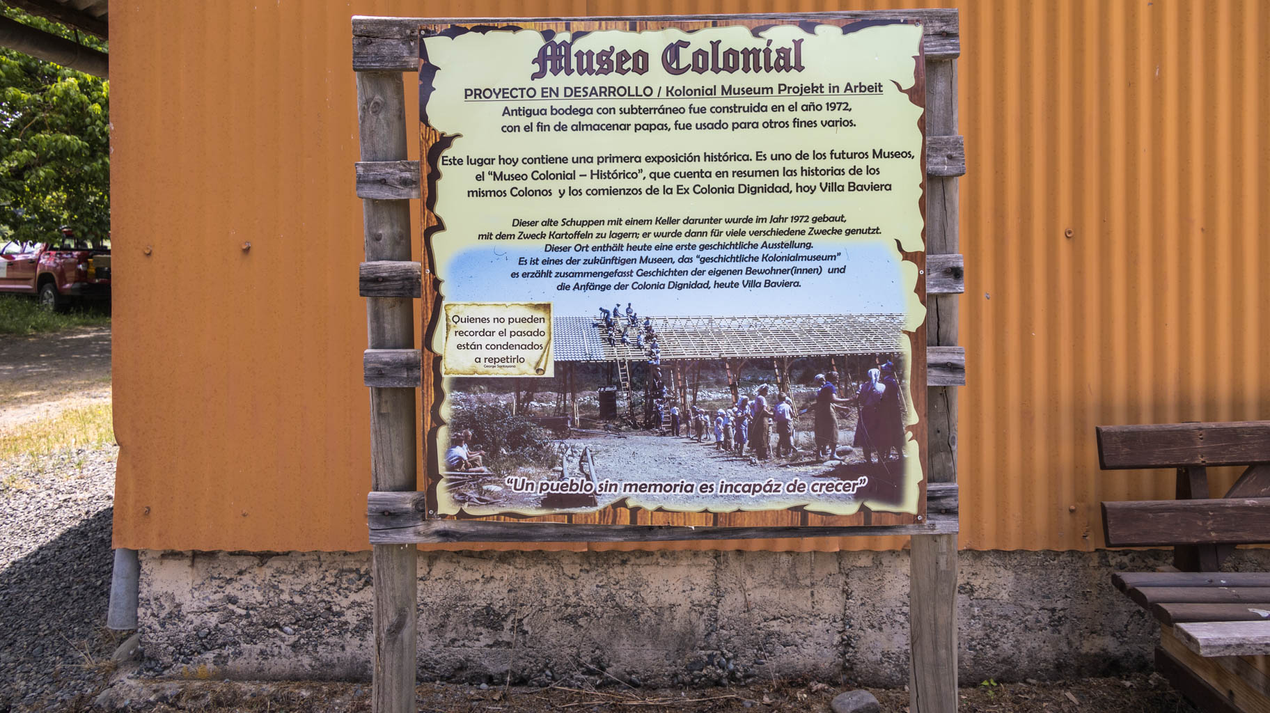
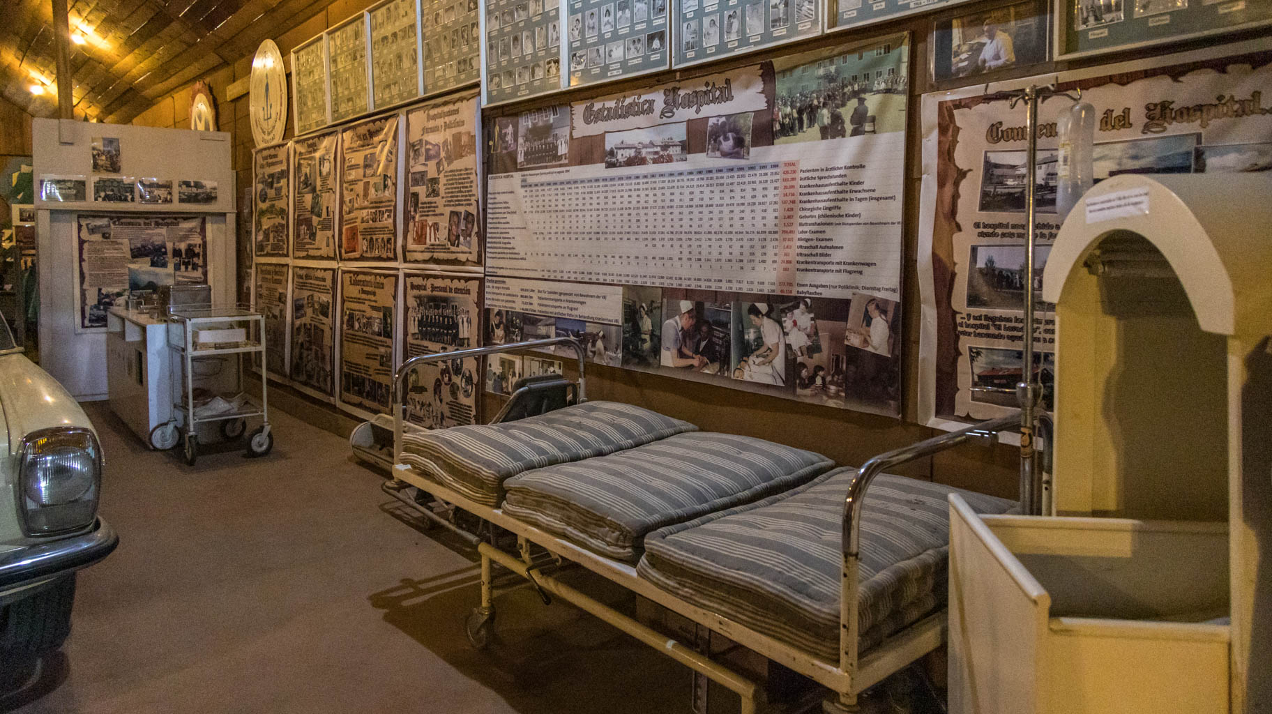
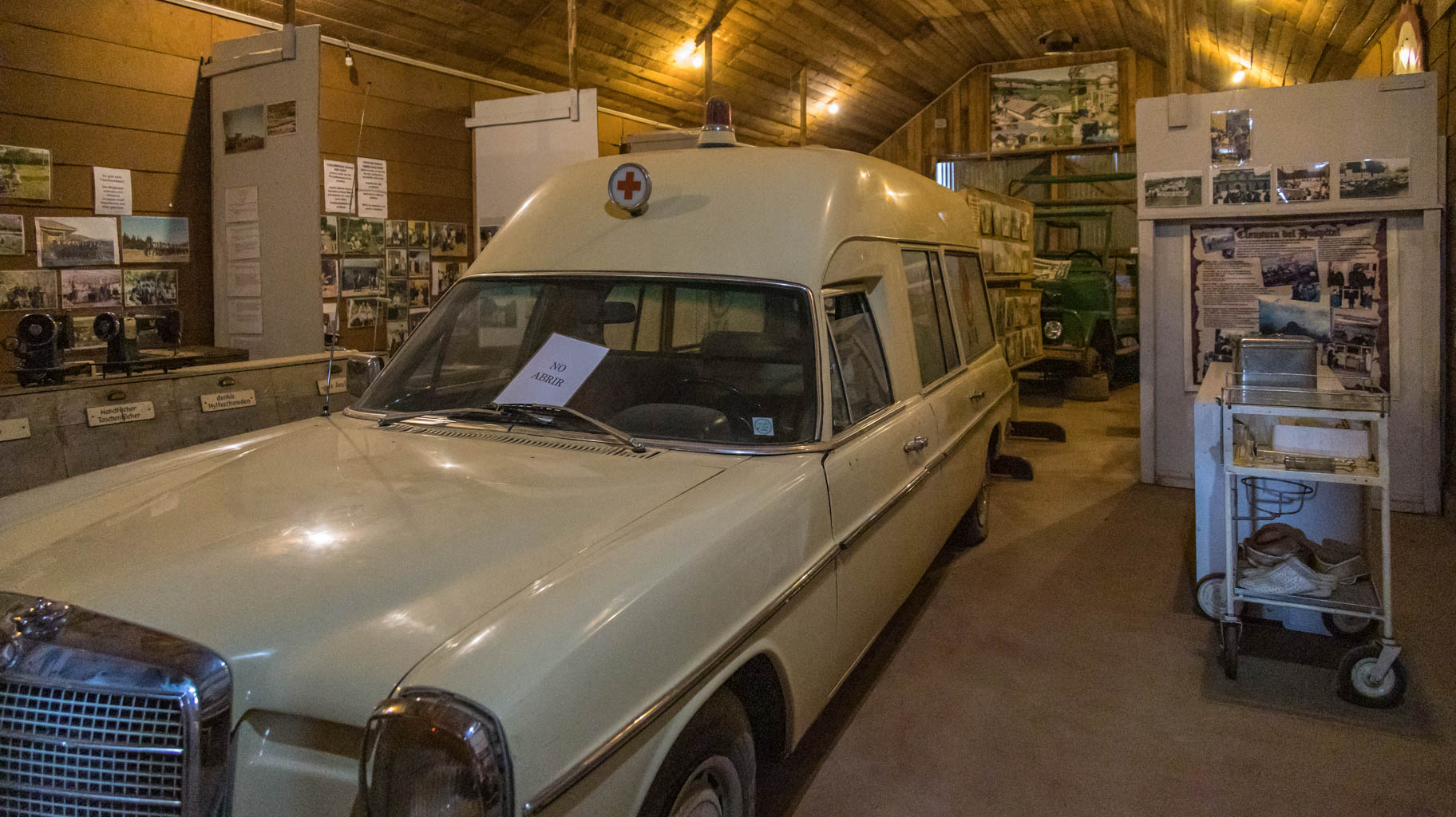
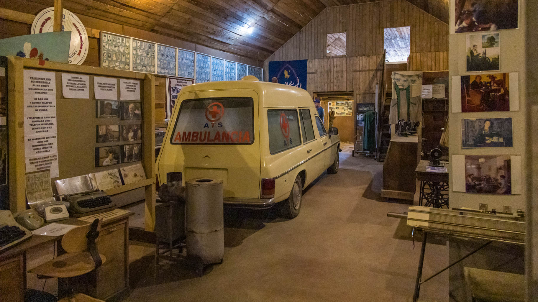
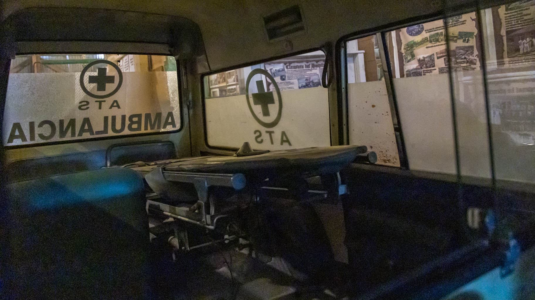
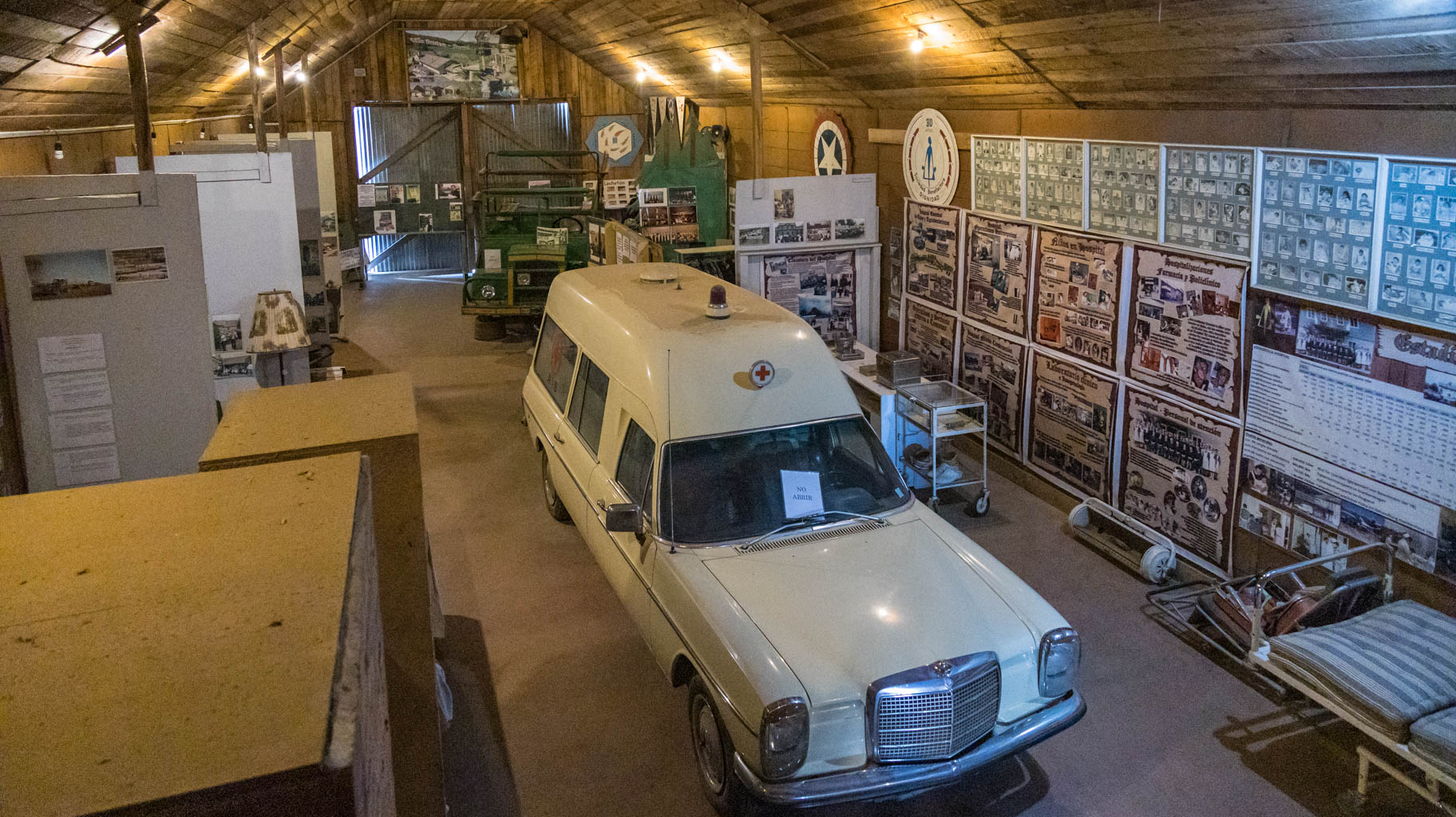
The hotel offers a visit to a museum, which is opened only upon request when a few people gather. For an additional $5 per person, you can hire a Spanish- or German-speaking guide for the museum tour.
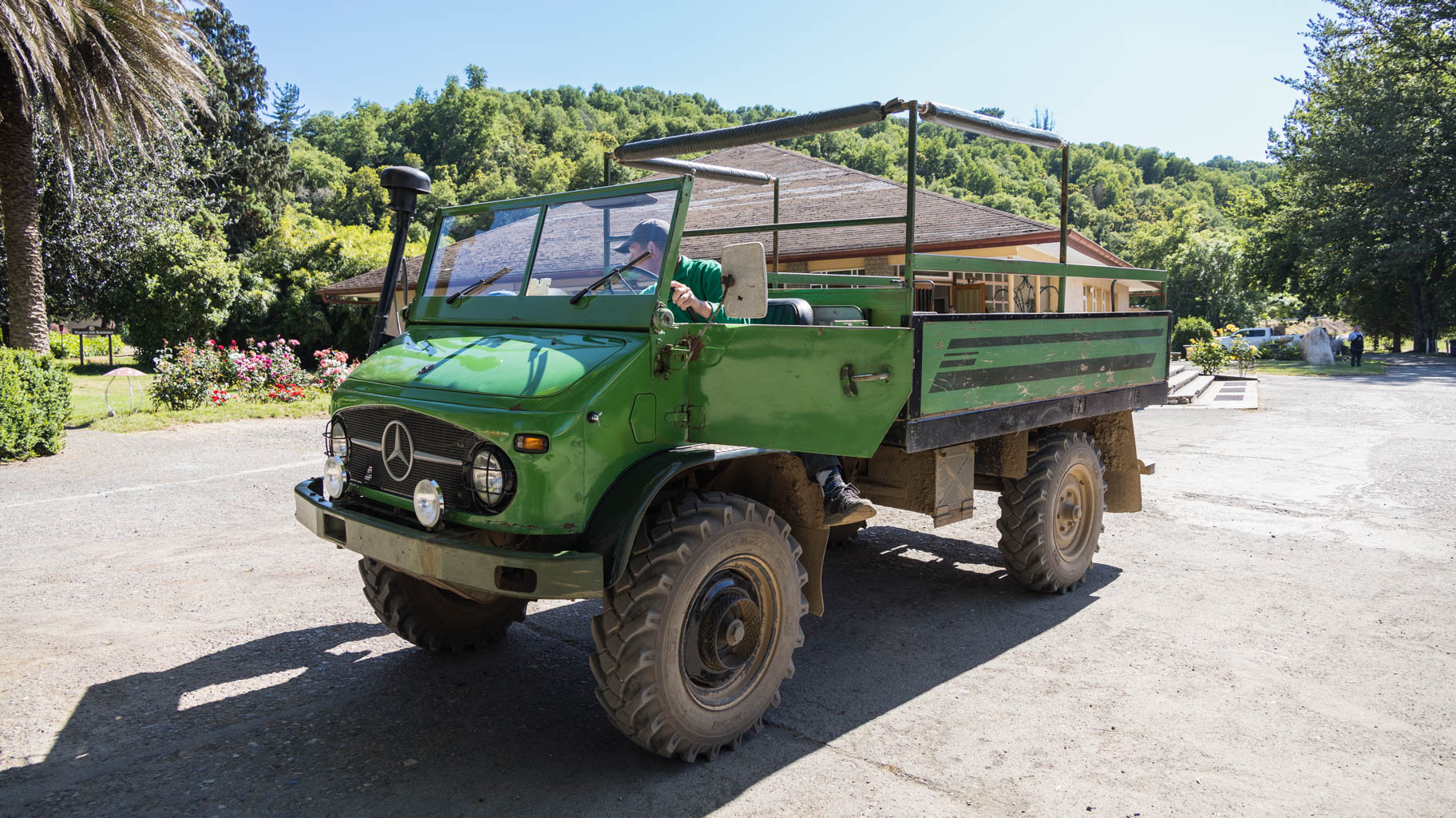
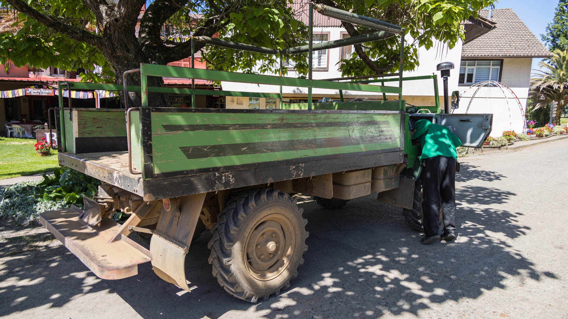
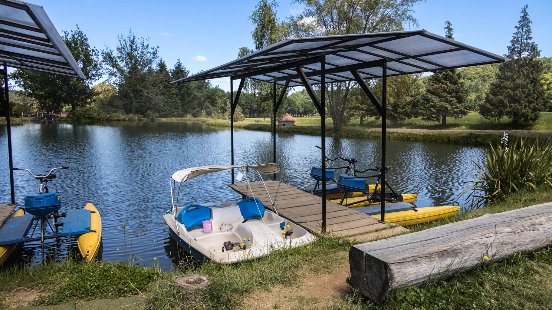
You can also book a Unimog tour, a small 1962 transport and agricultural truck, through the colony, which covers 13,000 hectares (130 km²) for $40 per group. Robert, our driver, whose grandfather came here from Germany, speaks both Spanish and German fluently. When we press him for details, he reluctantly tells us about past events. It’s clear that both he and others are unwilling to talk about those events, attempting to cover up this uncomfortable part of history.
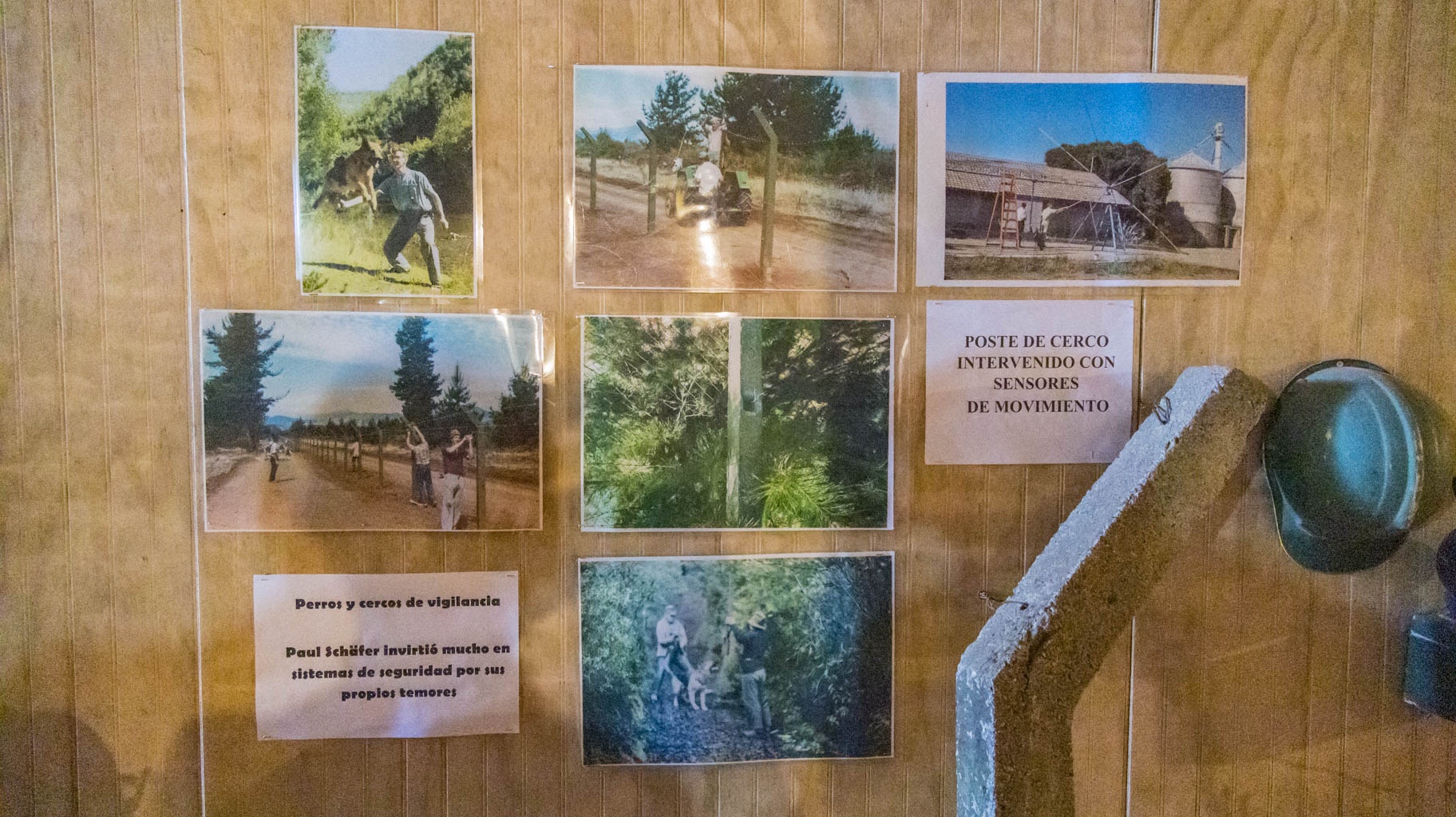
In 1961, thanks to the charismatic preacher Paul Schäfer, a farming settlement is established here, focusing on the German community. Convicted of pedophilia in Germany, he fled to Chile, bought land here, began bringing settlers from Germany, and created a controversial sect, separating women, men, and children. At its peak, the settlement had over 350 residents.
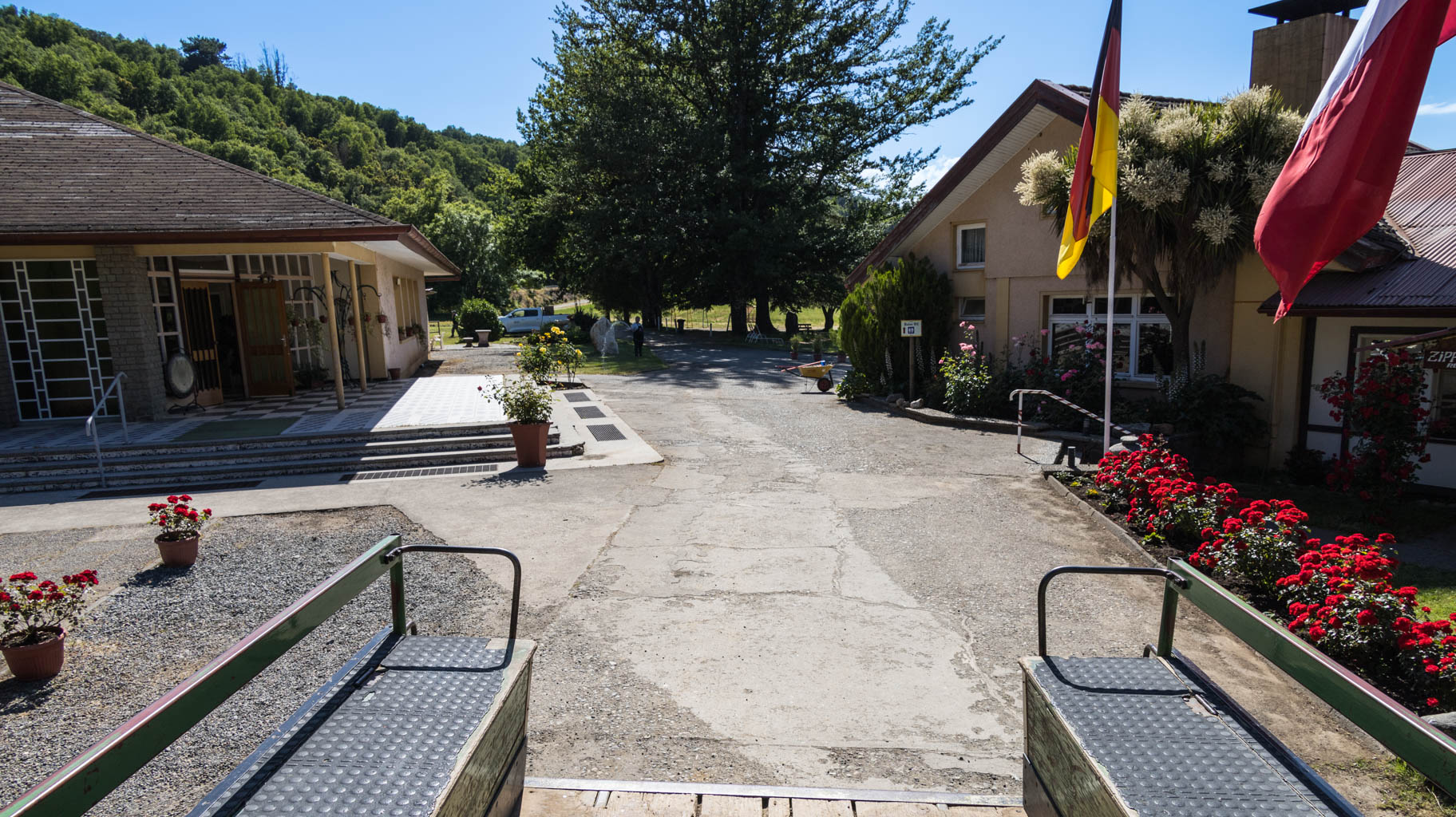
In 1973, in agreement with General Augusto Pinochet, the then dictator of Chile, and with the tacit approval of the German and American governments, he created a closed camp for political prisoners here.
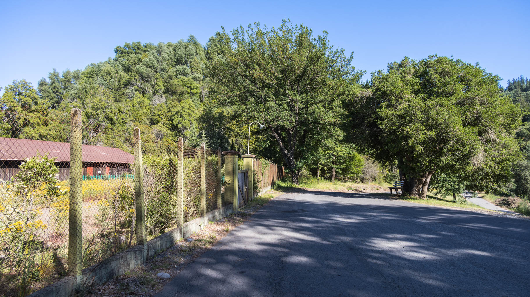
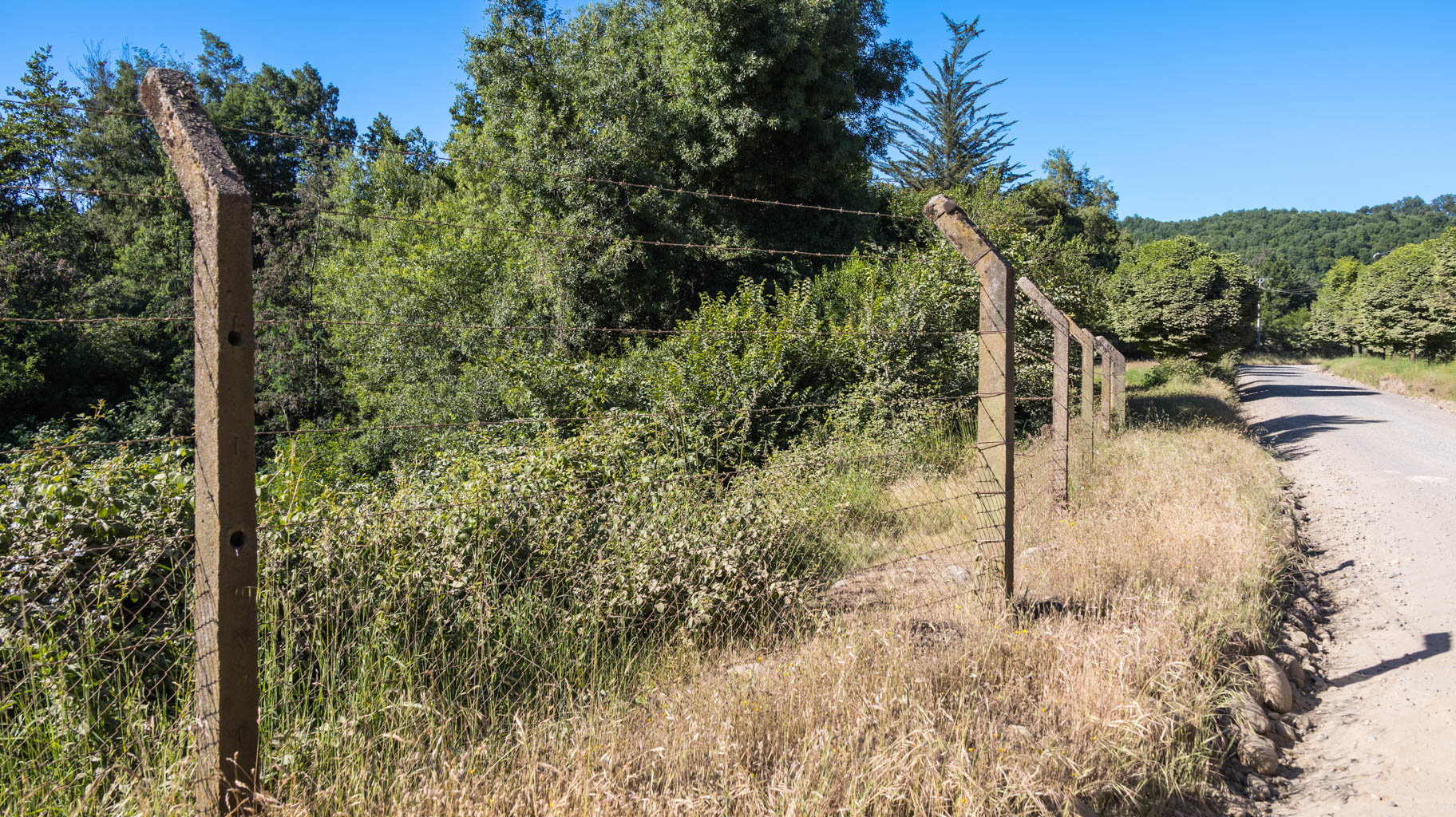
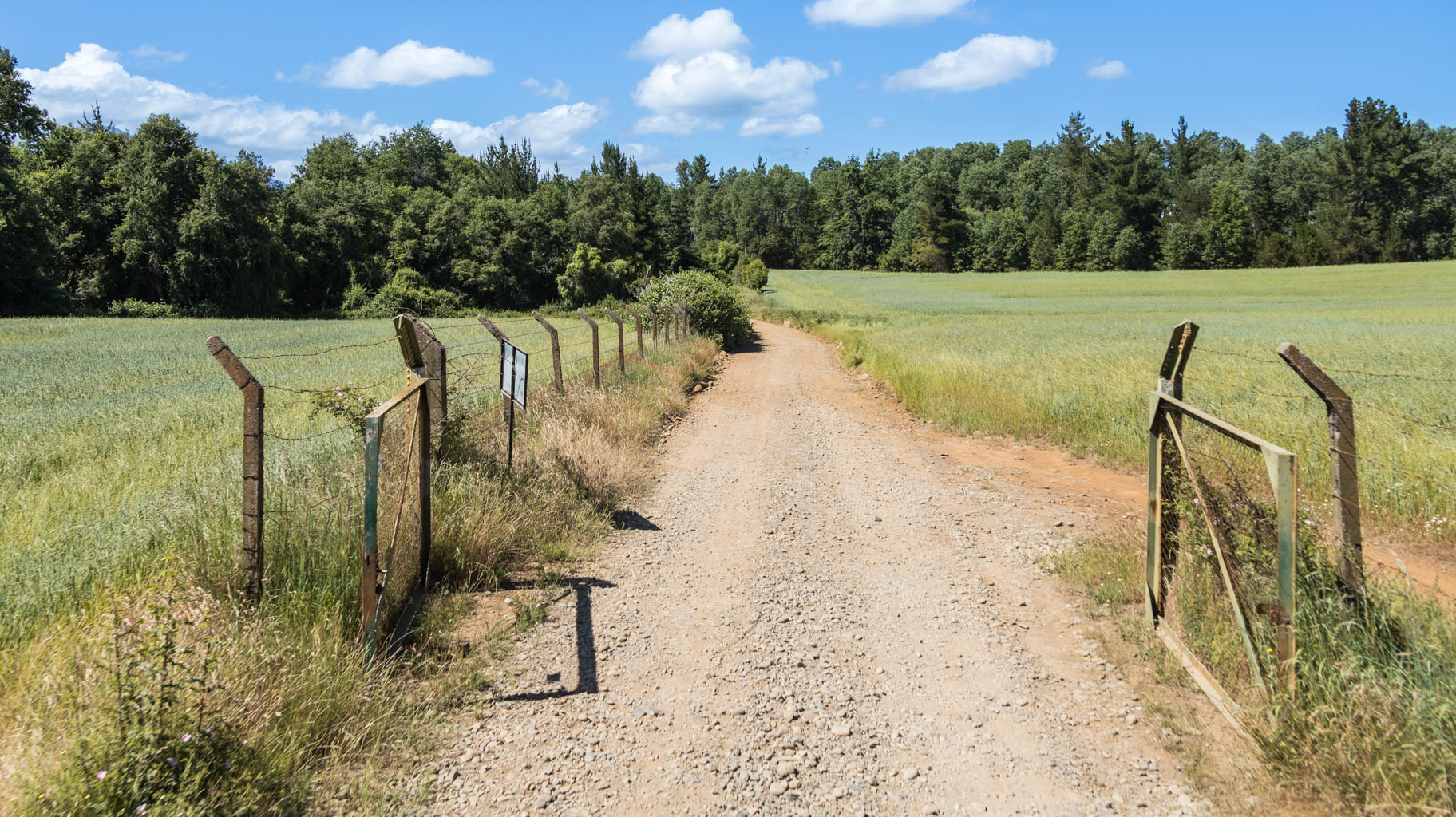
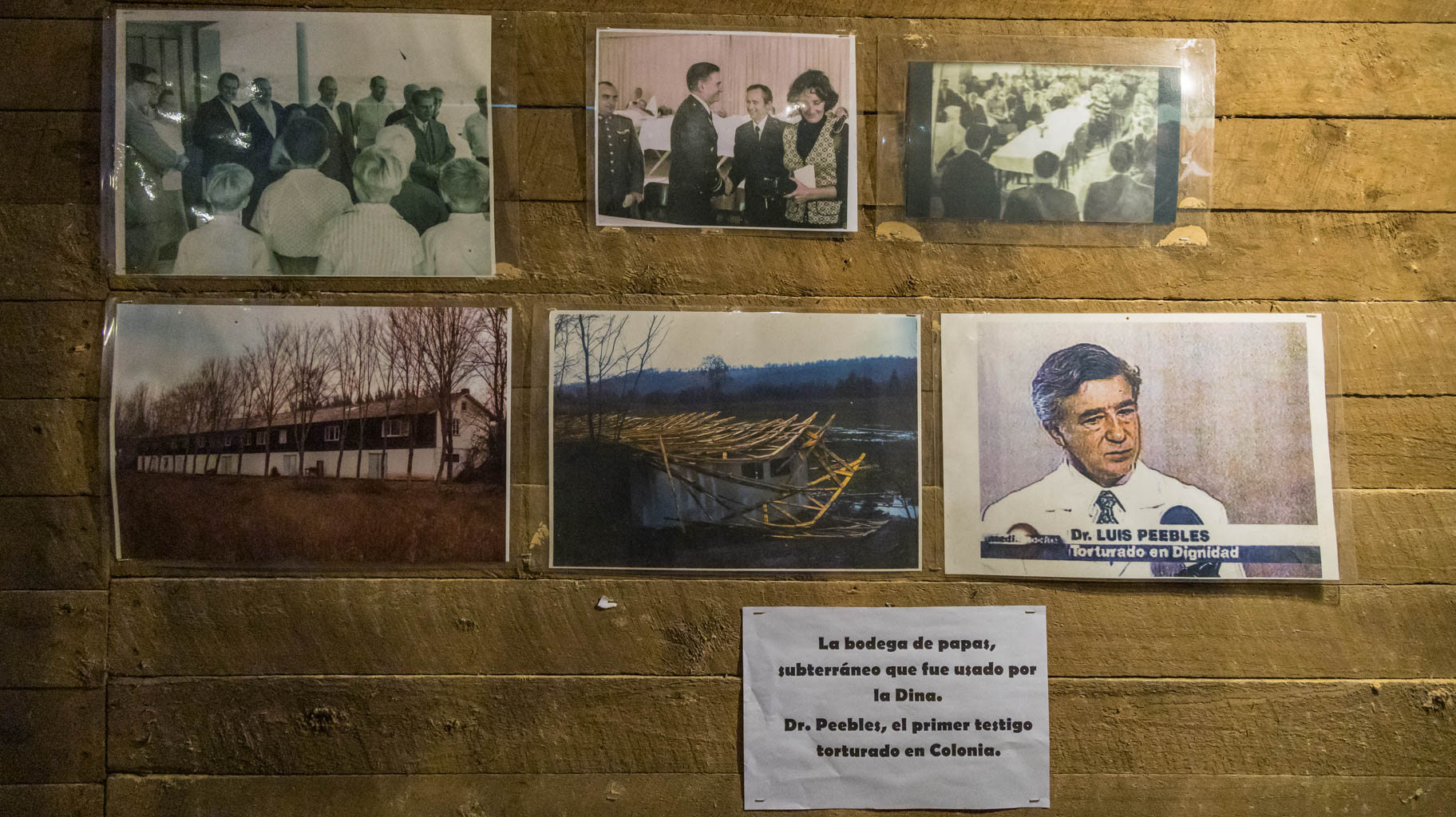
Barbed wire fences, electrified and equipped with sensors, were built around the camp to ensure that no one could escape. Schäfer quickly became a ruler here, able to molest young boys at will and decide on the life or death of prisoners.
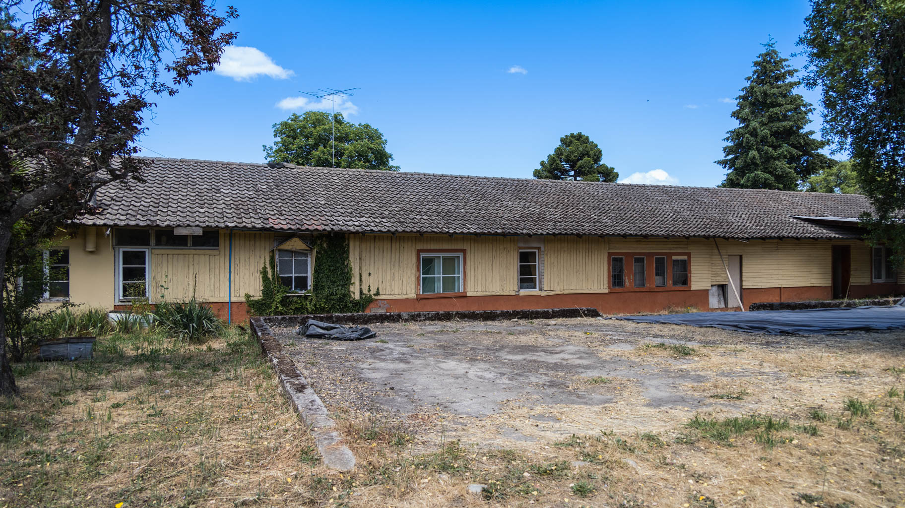
Underground tunnels were built beneath the buildings, where the secret Chilean police tortured the prisoners. The tunnels connect many buildings here, including the current hotel building and hospital. The tunnels end in the forest, and it is believed that bodies of the killed prisoners were carried out through there. About one hundred people lost their lives here.
Currently, about 90 Germans and 20 Chileans still work on the grounds of the colony. Many of these people lived here during the old times and chose to stay after the regime fell.
Schäfer himself was arrested in 2005 and sentenced to twenty years for sexually abusing boys. He died in prison in 2010.
According to the information we received here, we are the first Polish people to have arrived here.
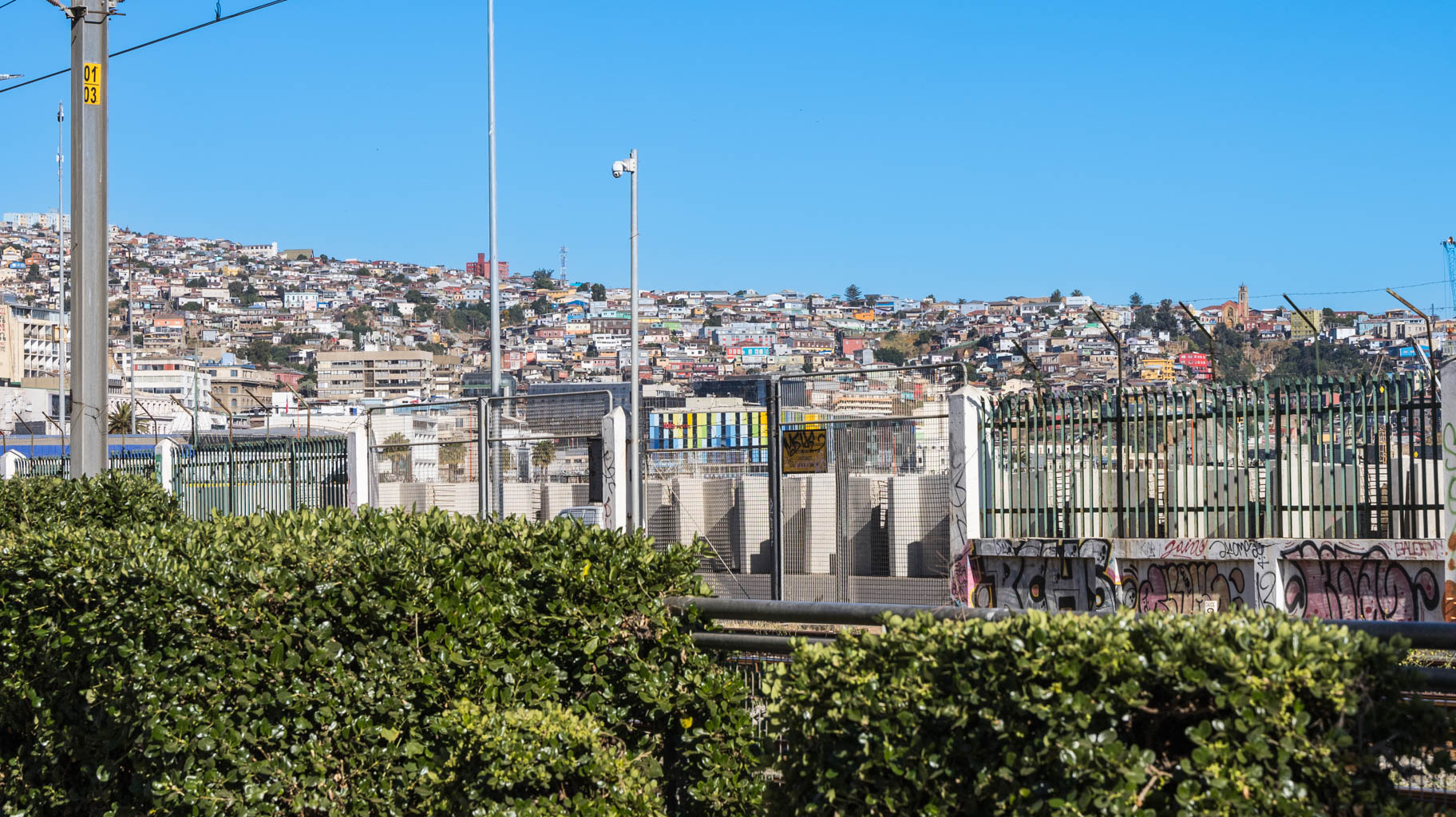
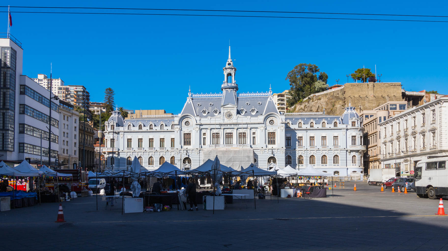
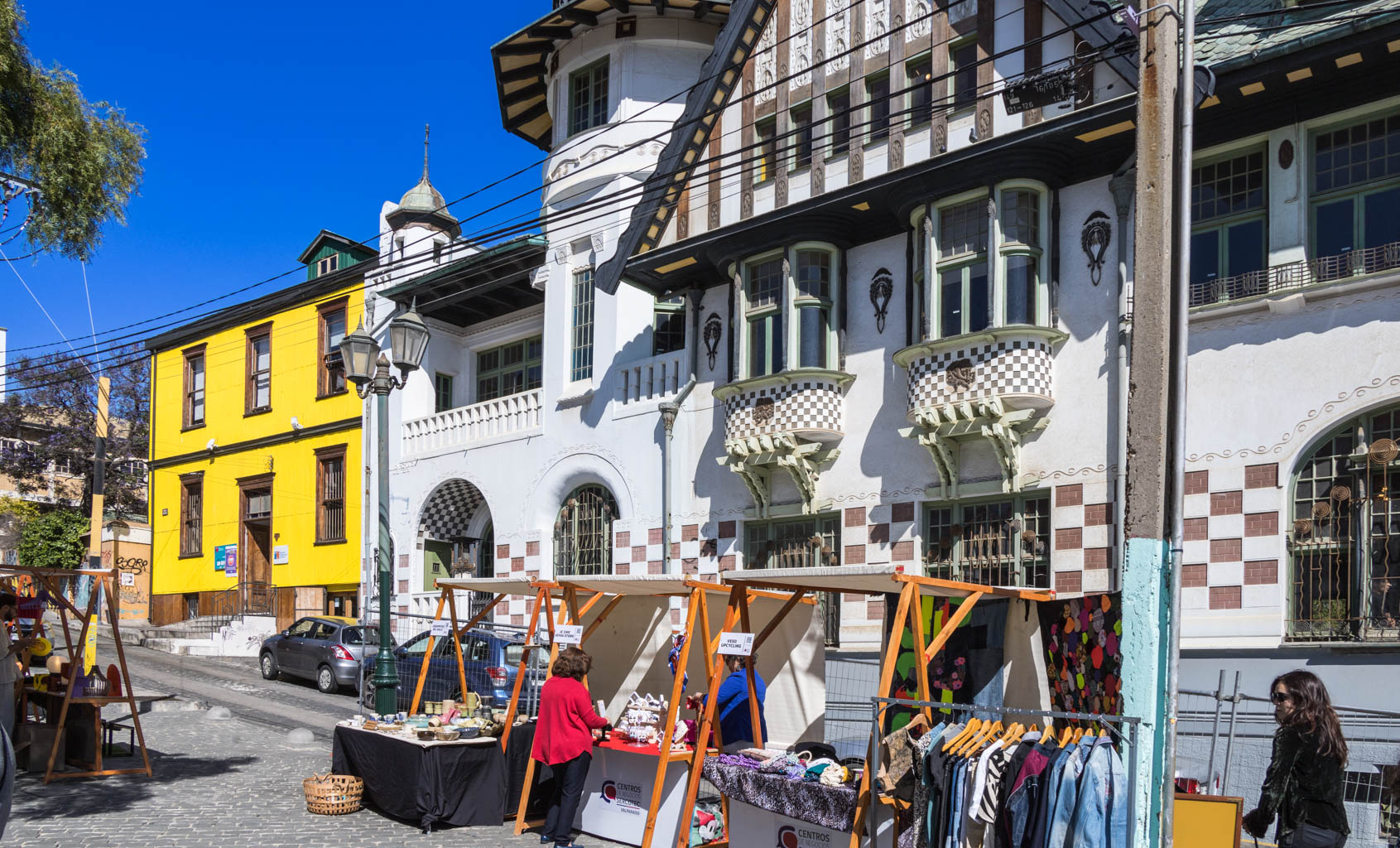
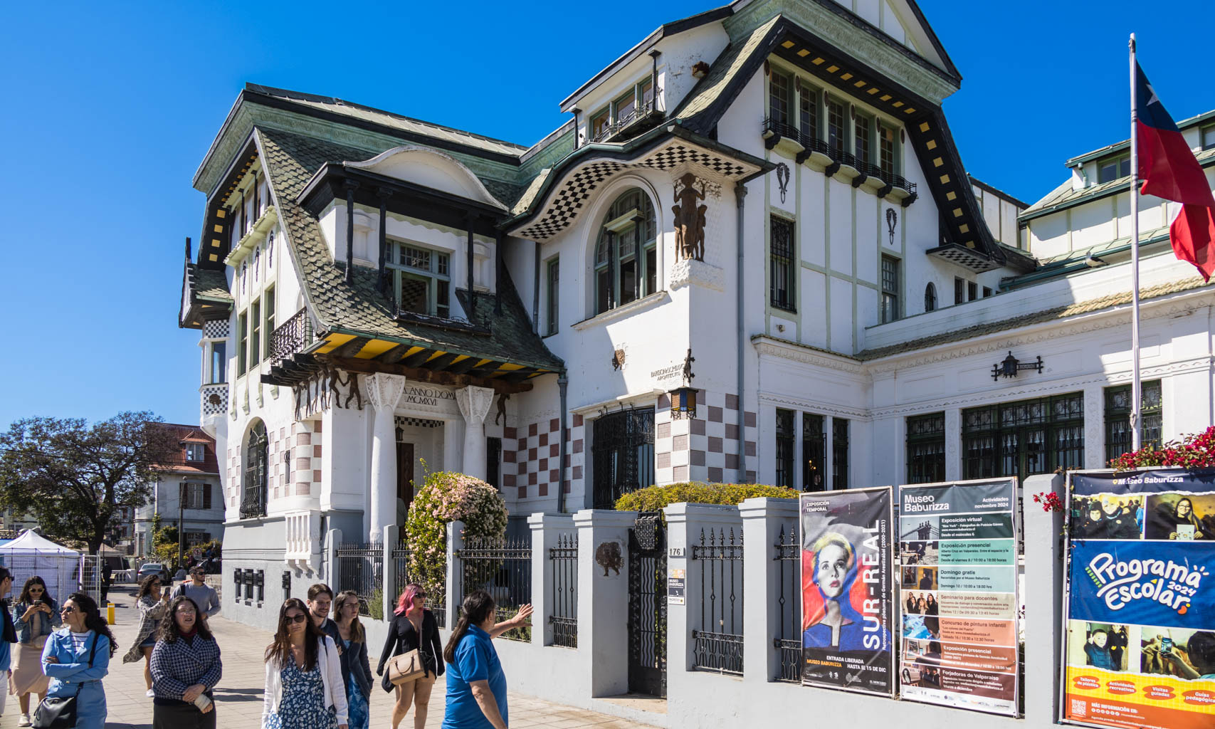
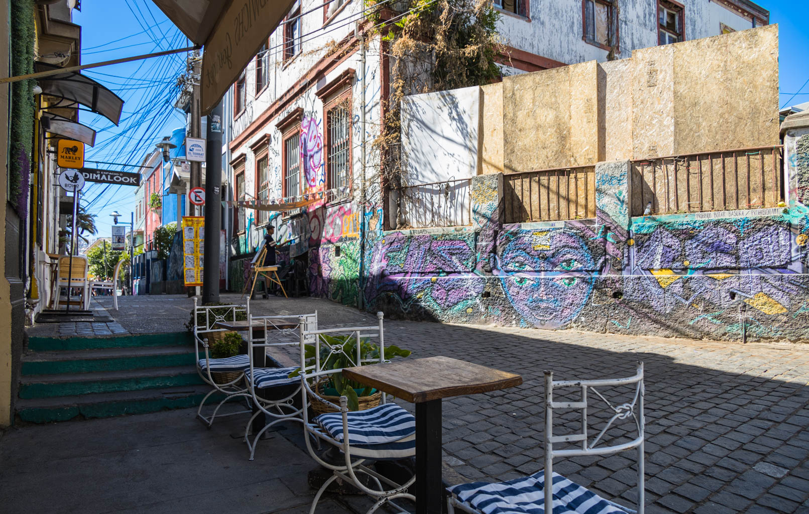
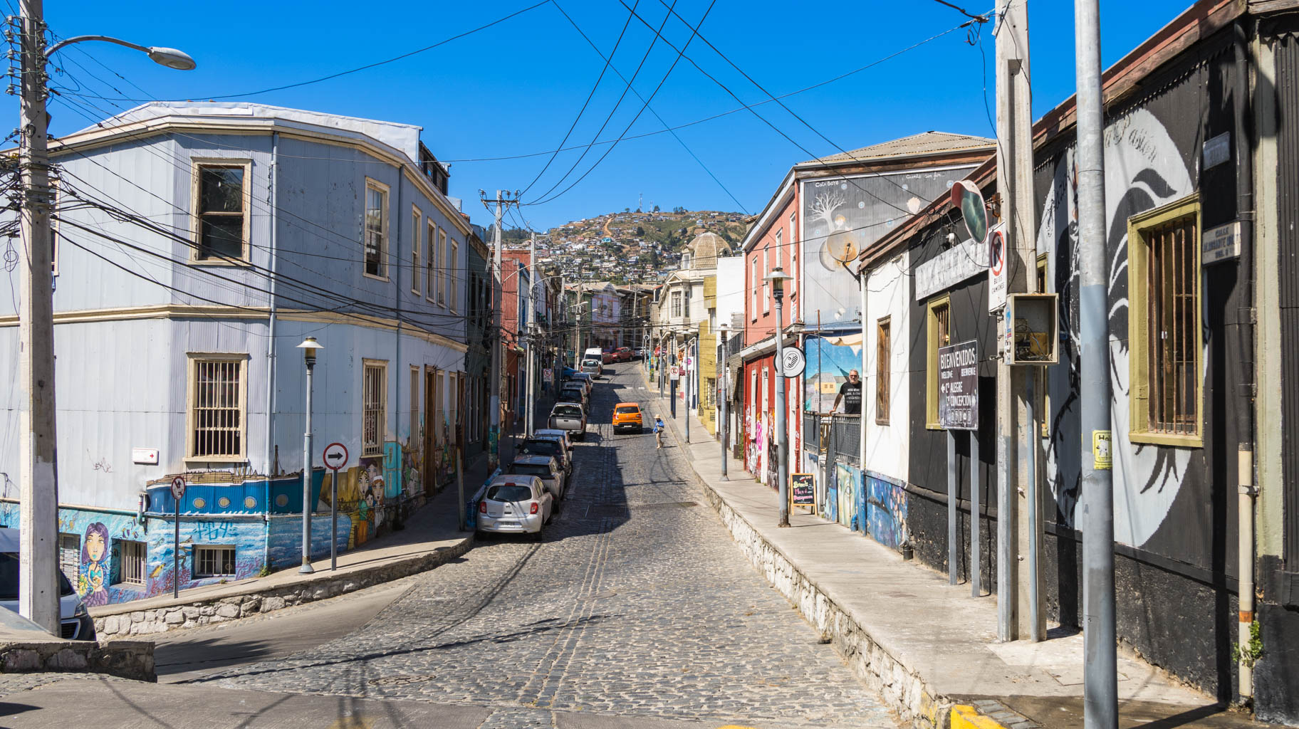
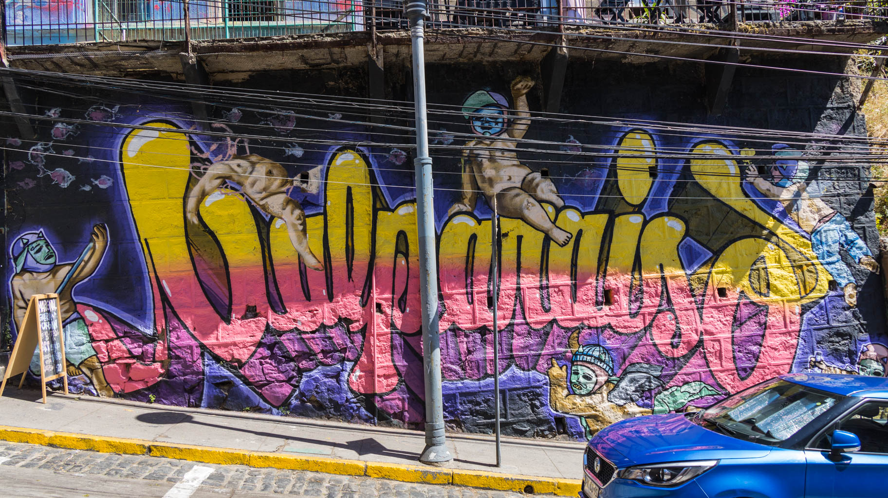
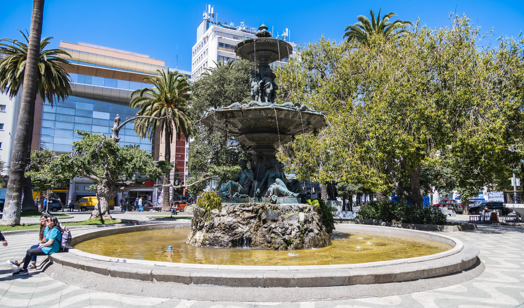
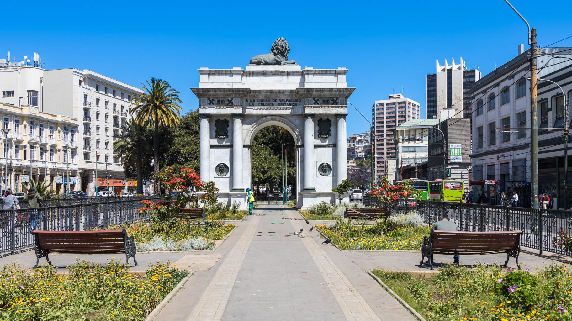
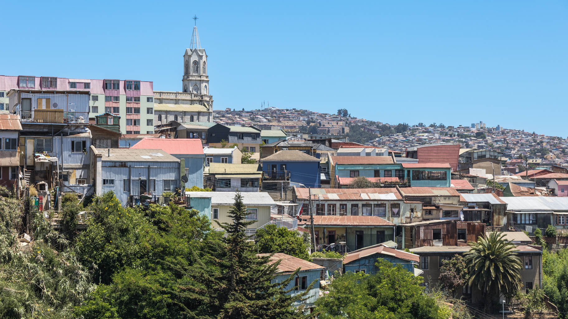
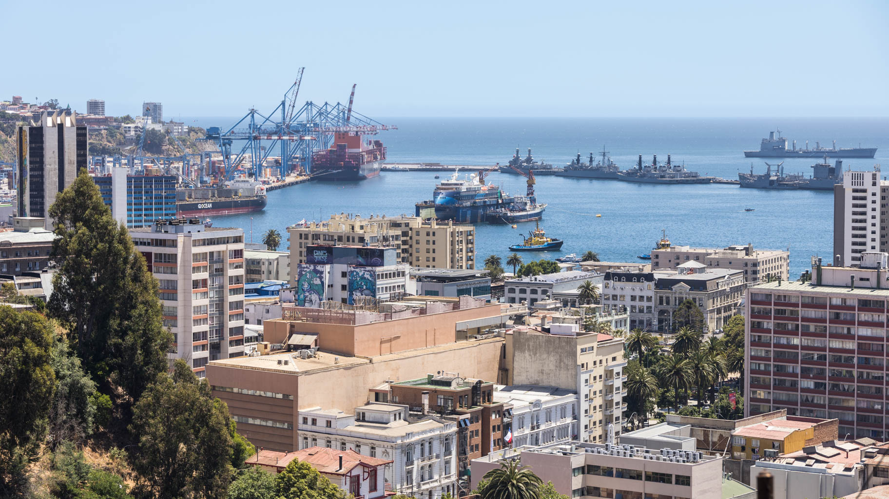
We spend our final hours in Chile in the second-largest city in the country – Valparaiso.
Here, you’ll find the largest port in South America on the west coast, which developed very dynamically until the construction of the Panama Canal.
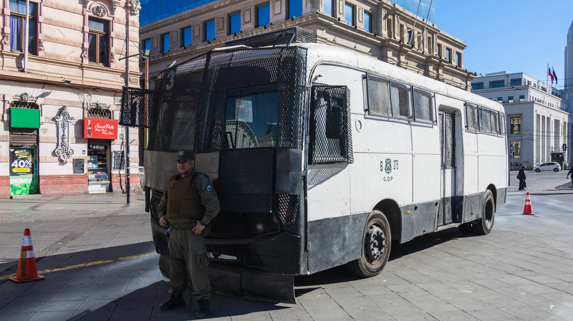
The city is considered to be quite dangerous, but nothing like that happened to us, despite numerous warnings from Chileans we met. There is a significant number of immigrants from Venezuela and Colombia, who are reportedly known for stealing here.
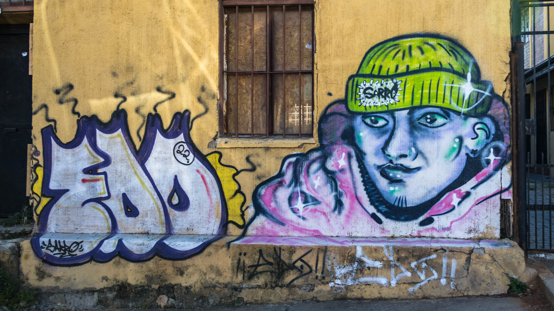
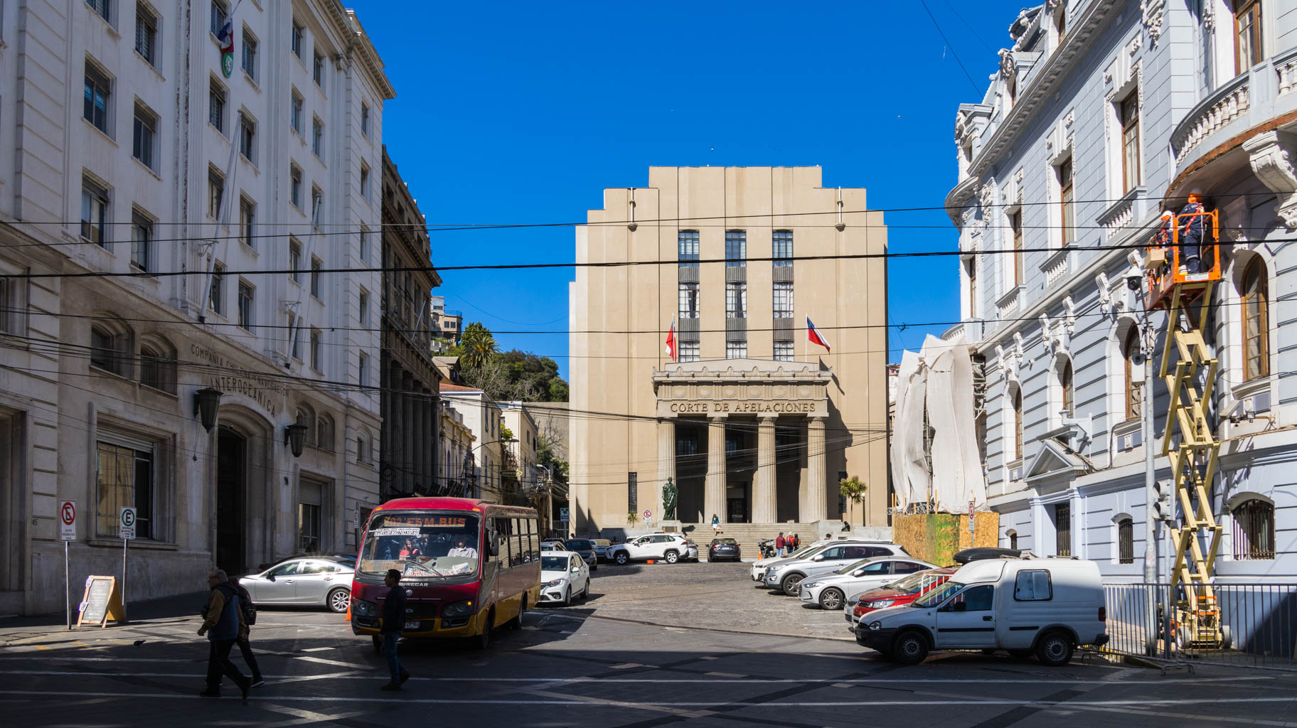
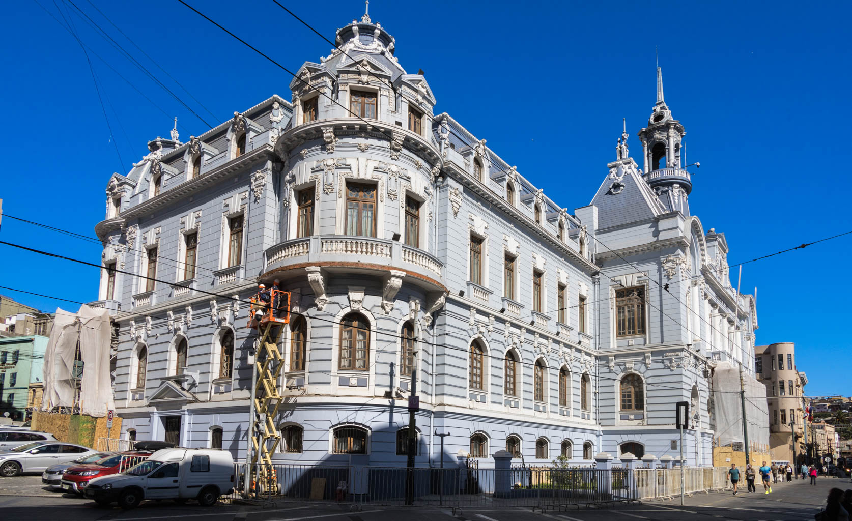
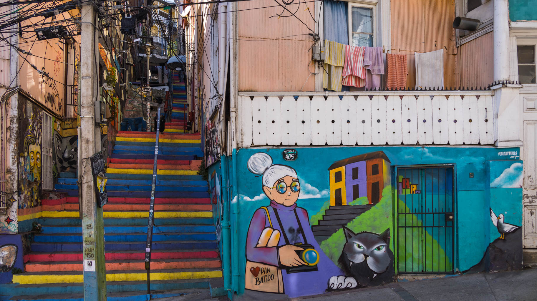
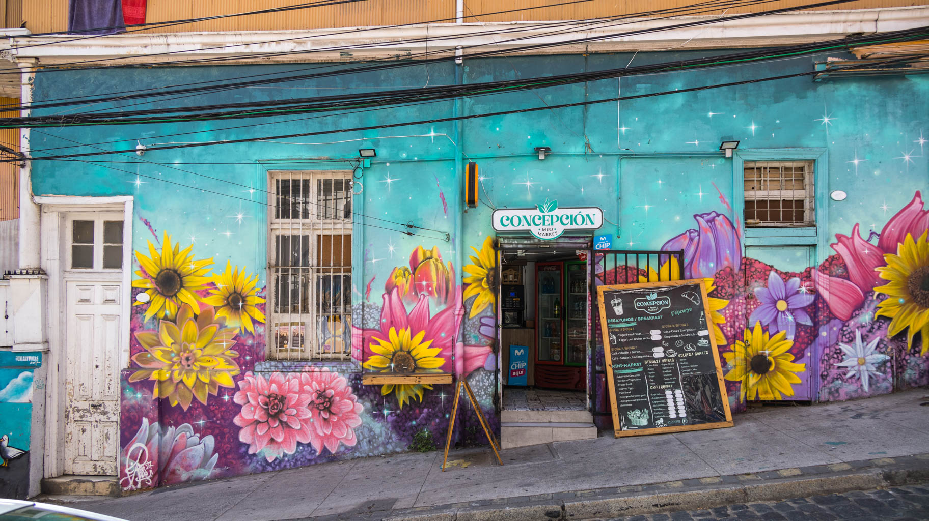
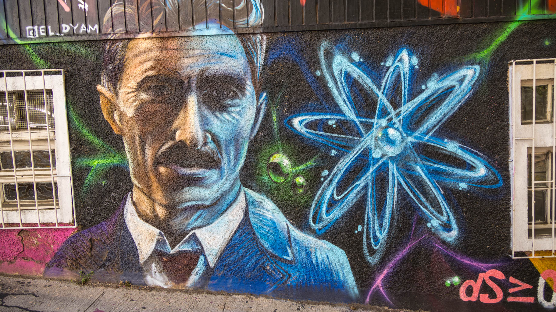
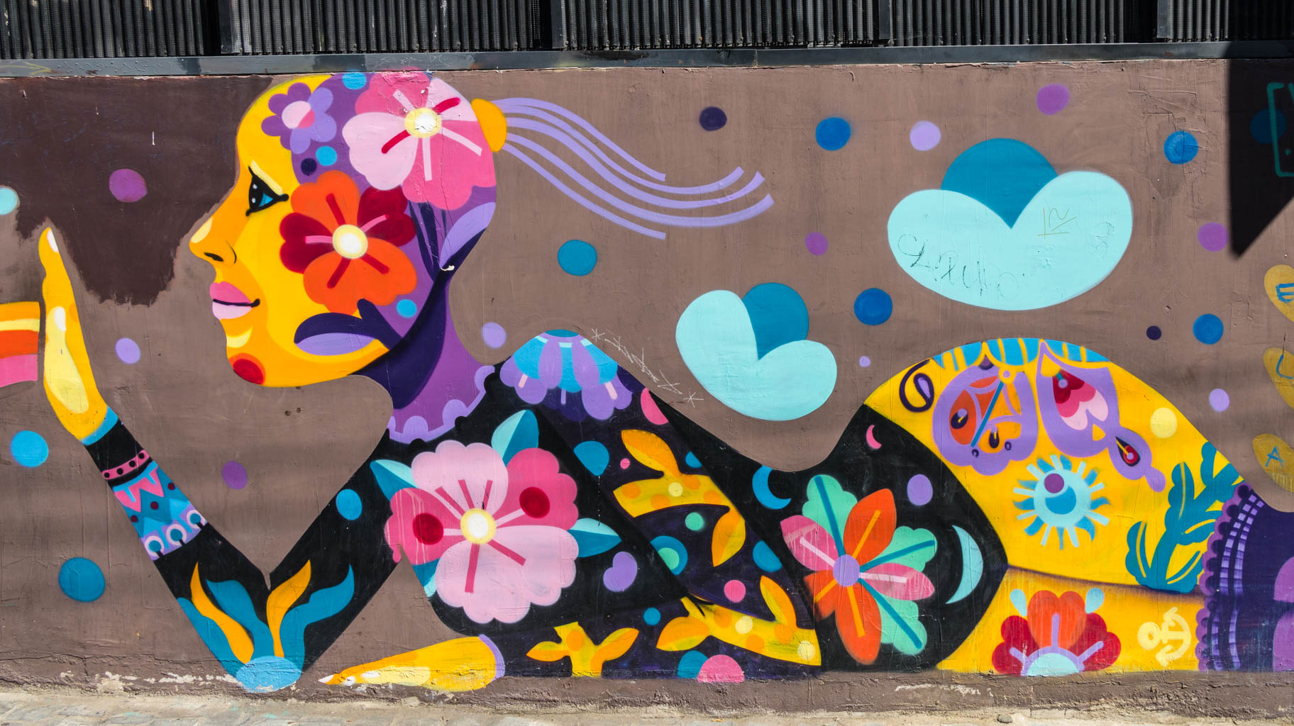
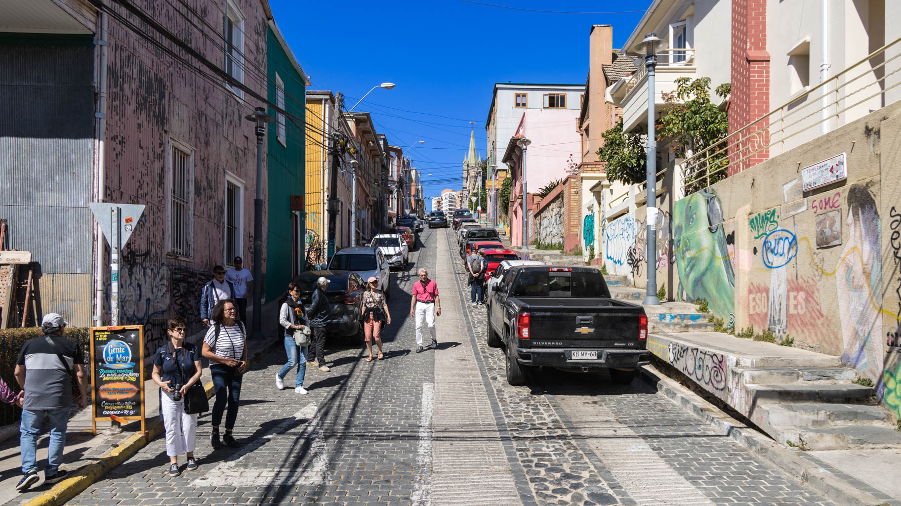
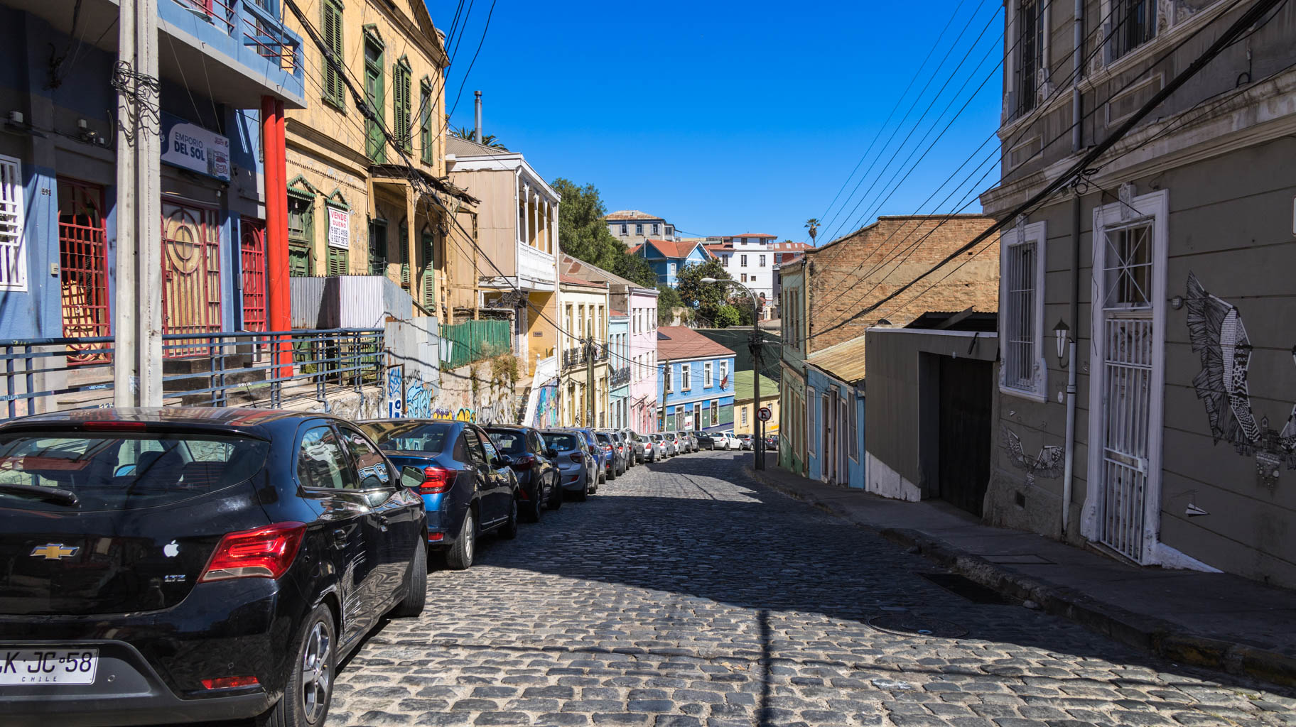
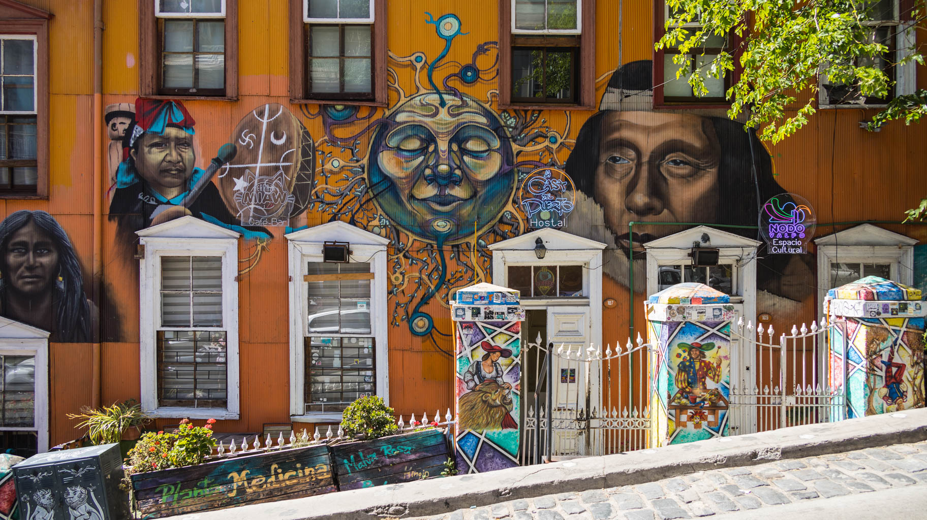
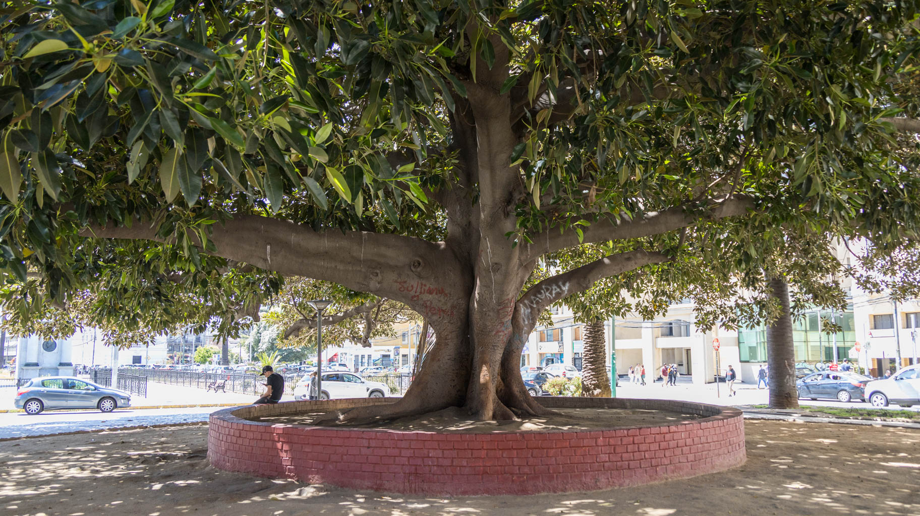
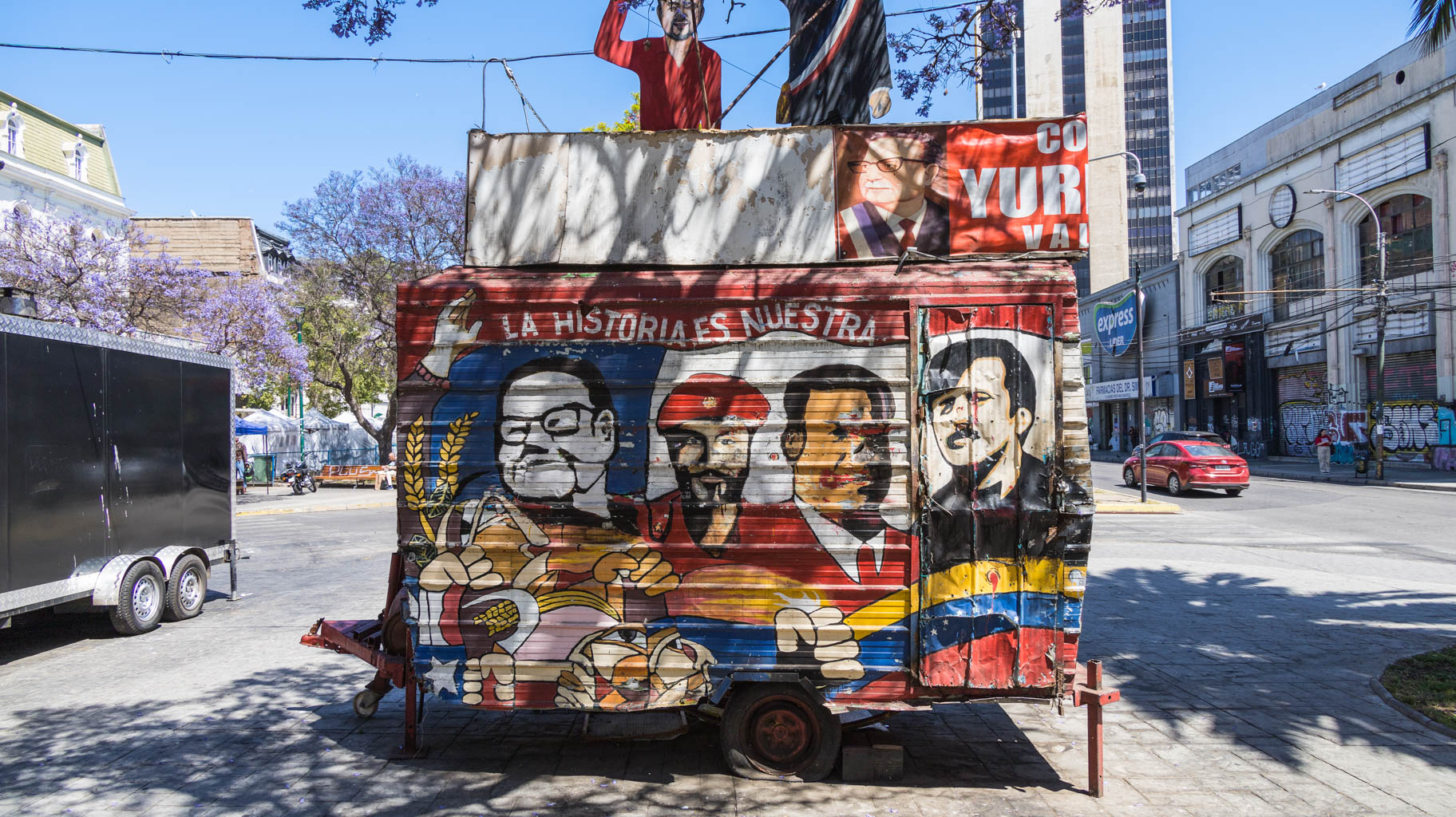
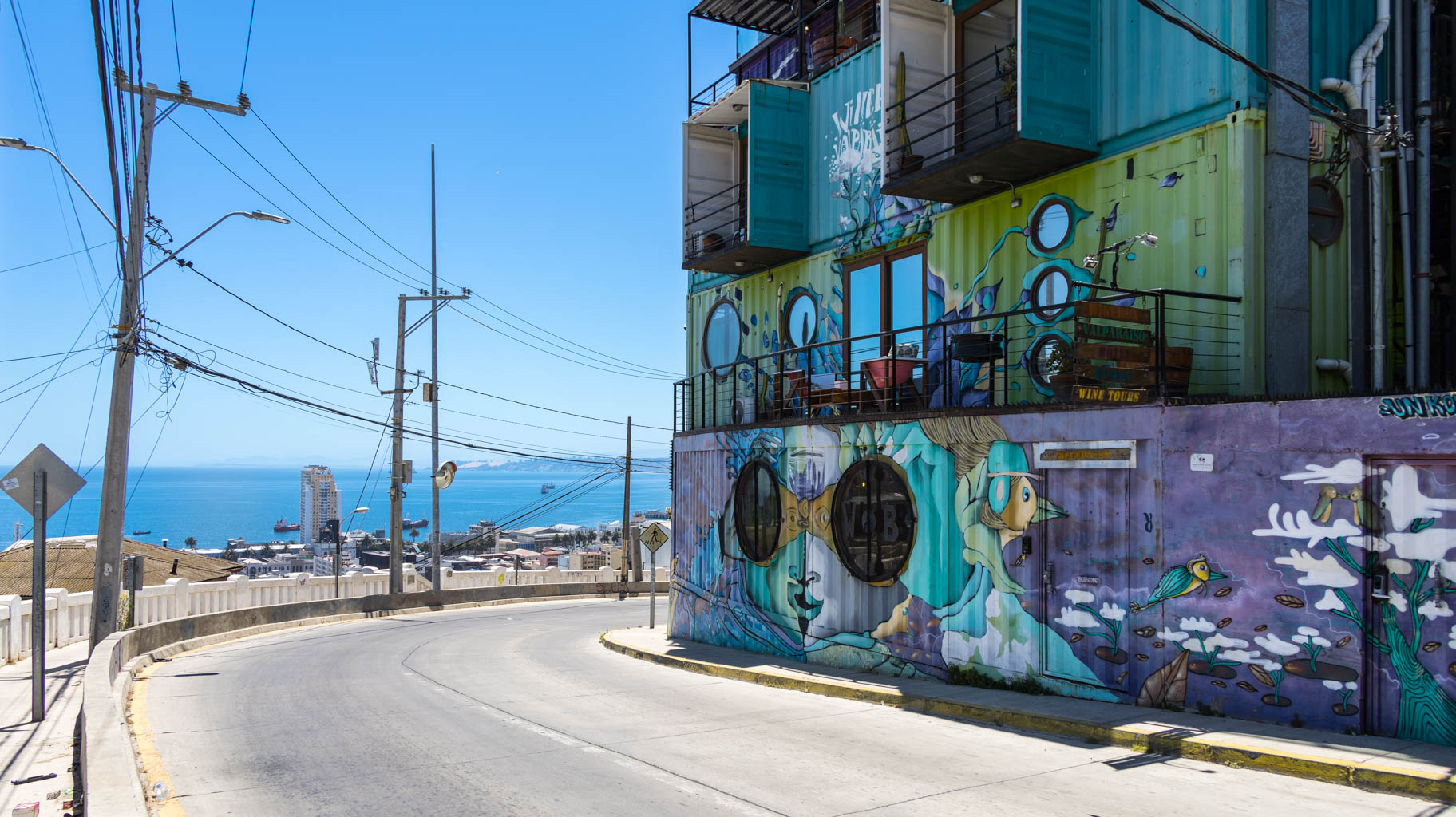
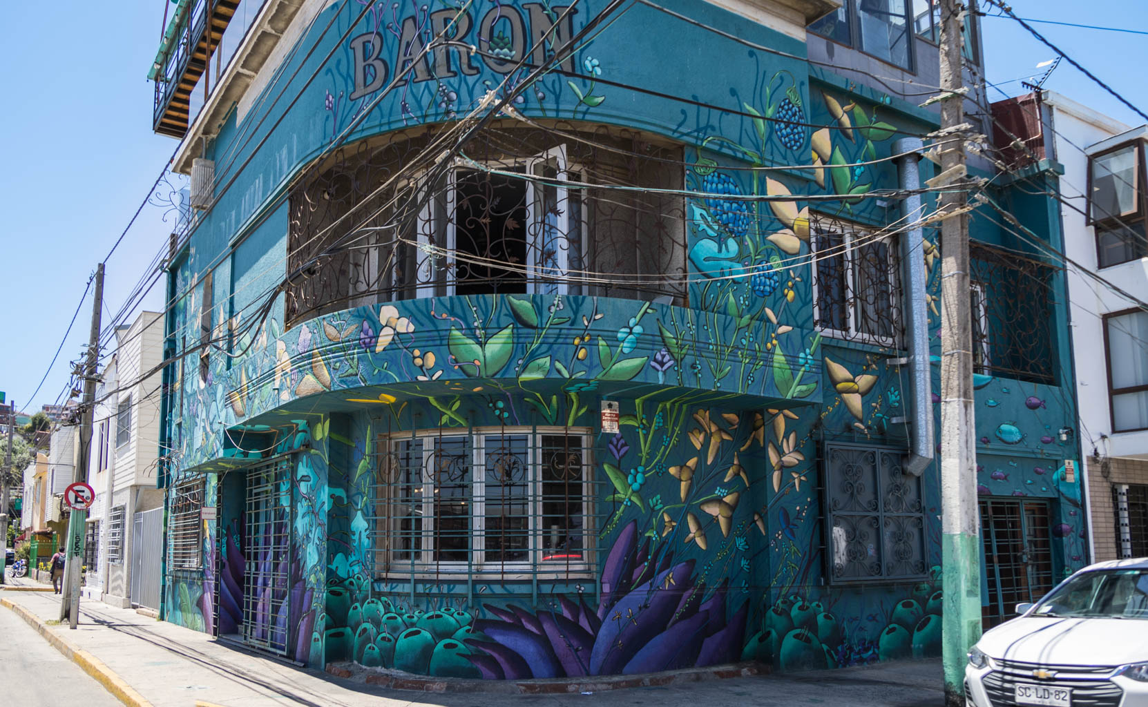
As we walk around the city, we see numerous squares and murals.
The main attractions are located along the coast. It's also worth heading to the surrounding hills, such as Cerro Concepción and Cerro Alegre, for a panoramic view of the city. You can either walk and see many of the murals mentioned earlier or take the funicular to the top.
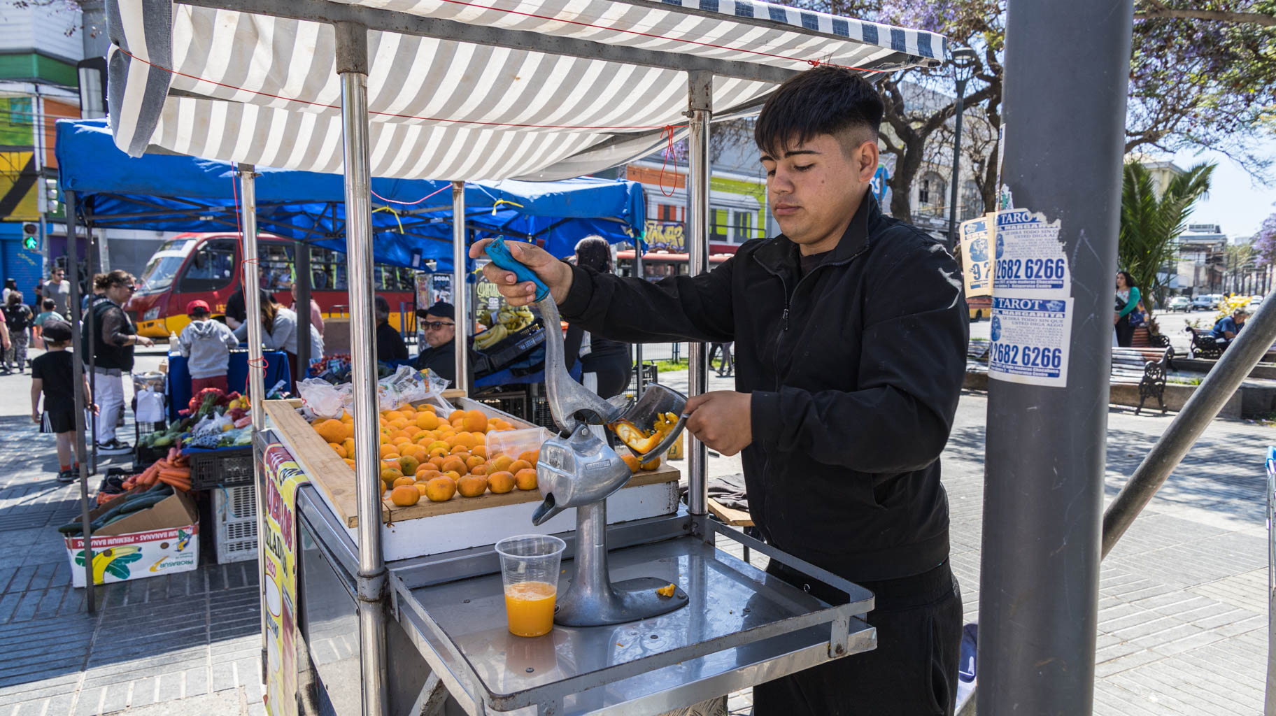
At the end, we stop for juice in a park, where a Chilean man strikes up a conversation. He had lived in Romania for six years. In Chile he was a professor at a university and worked in opposition to General Pinochet, which forced him to flee.
After exploring the city, we head to the airport. On the way, we stop for lunch at a local restaurant, Route 68, located a few kilometers from the airport. I highly recommend it, as the prices are less than half of what you'd pay in the city, and the food quality is excellent.
Today, we have about ten hours in Toronto, so we decide to leave the airport and take a trip into the city.
Over 8,000 km north of Santiago, it's much cooler, with the temperature at 2°C. Unfortunately, I forgot to account for this when packing, and my warm clothes are in my checked luggage. Luckily, after contacting the airport staff, I'm able to access my luggage, take out the essentials, and then persuade the baggage service lady to recheck the bag immediately.
Now, we can head into the city.
The train from the airport to the city center takes about half an hour. For three people, you can buy a group ticket for 25 CAD one way, which is about $20.
We arrive at the Pearse – Union station, from where we begin our tour.
The first stop is the CN Tower, which stands 553 meters tall. A basic ticket costs about 50 CAD (~$38), which grants access to the elevator ride to 346 meters. To go higher, you need to pay an additional 11 CAD (~$8). From the tower, you get a panoramic view of the entire city, including numerous glass skyscrapers.
During our four-hour walk through the city, we visit the Allen Lambert Gallery shopping mall with an old building in the center, the Gooderham Building, the old and new city halls, the skating rink with the "Toronto" sign, the cathedral near the city hall, and several parks where black squirrels run freely.
The GDP per capita in Canada is about 57,000 dollars. For comparison, Poland has about 20,000 dollars! This is evident at every step.

